Wadi Rum

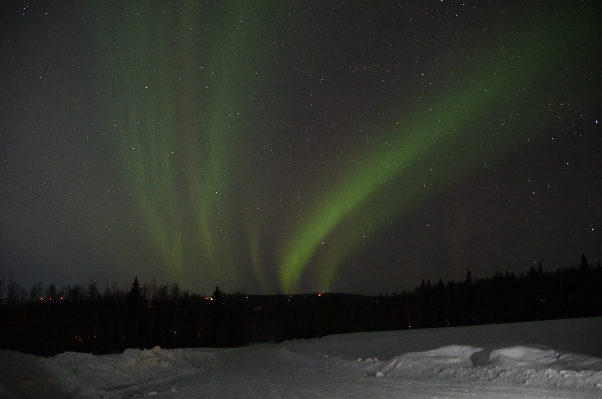
(be sure to open this post in a new tab so you can appreciate the colors and see the video)

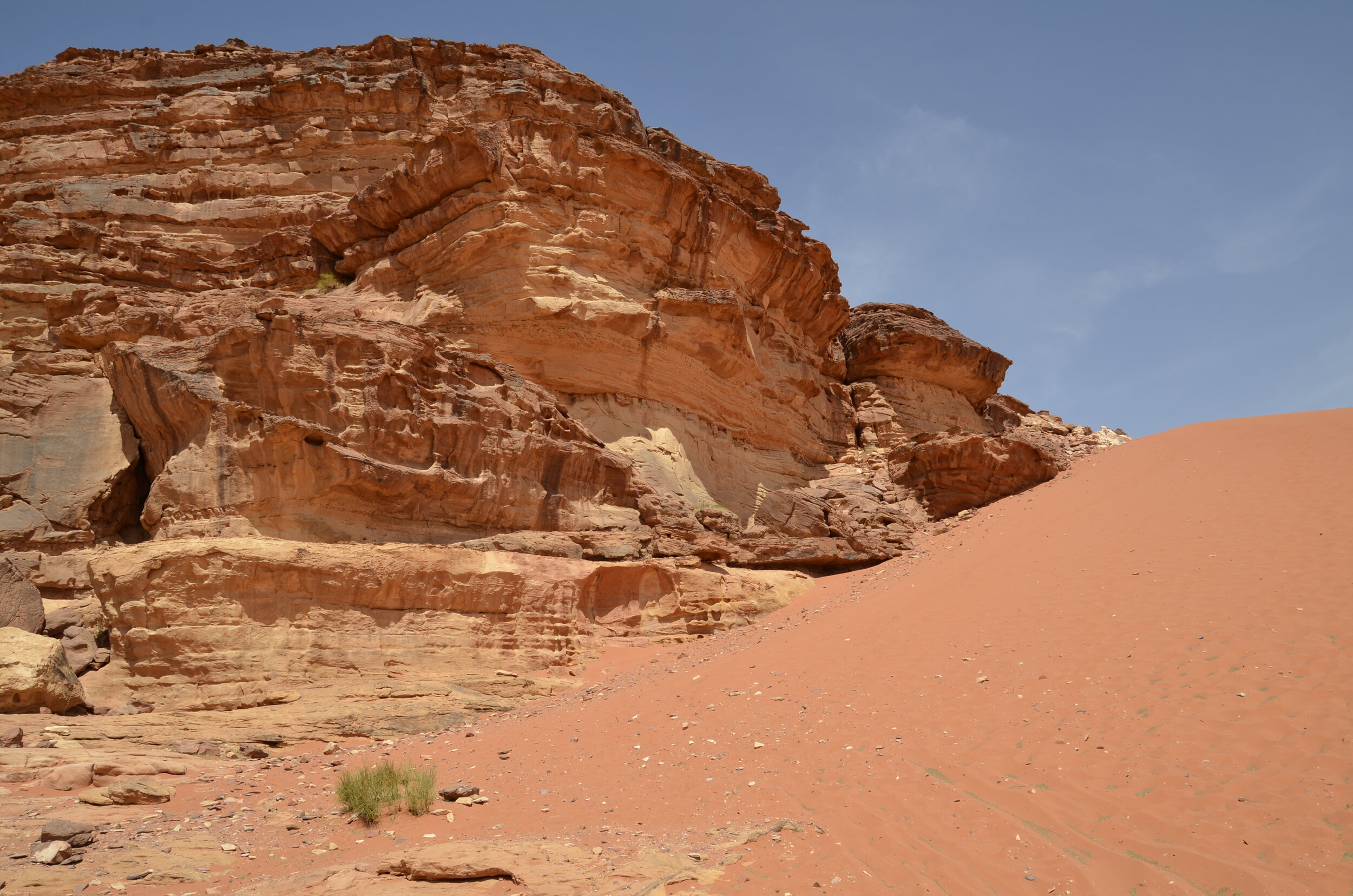
Wadi Rum, also known as the Valley of the Moon, is a protected desert area in southern Jordan.

_DSC7831.JPG

On our drive in, we had a welcoming committee -

_DSC7804.JPG

One of their buddies was at the community watering hole -

_DSC7825.JPG

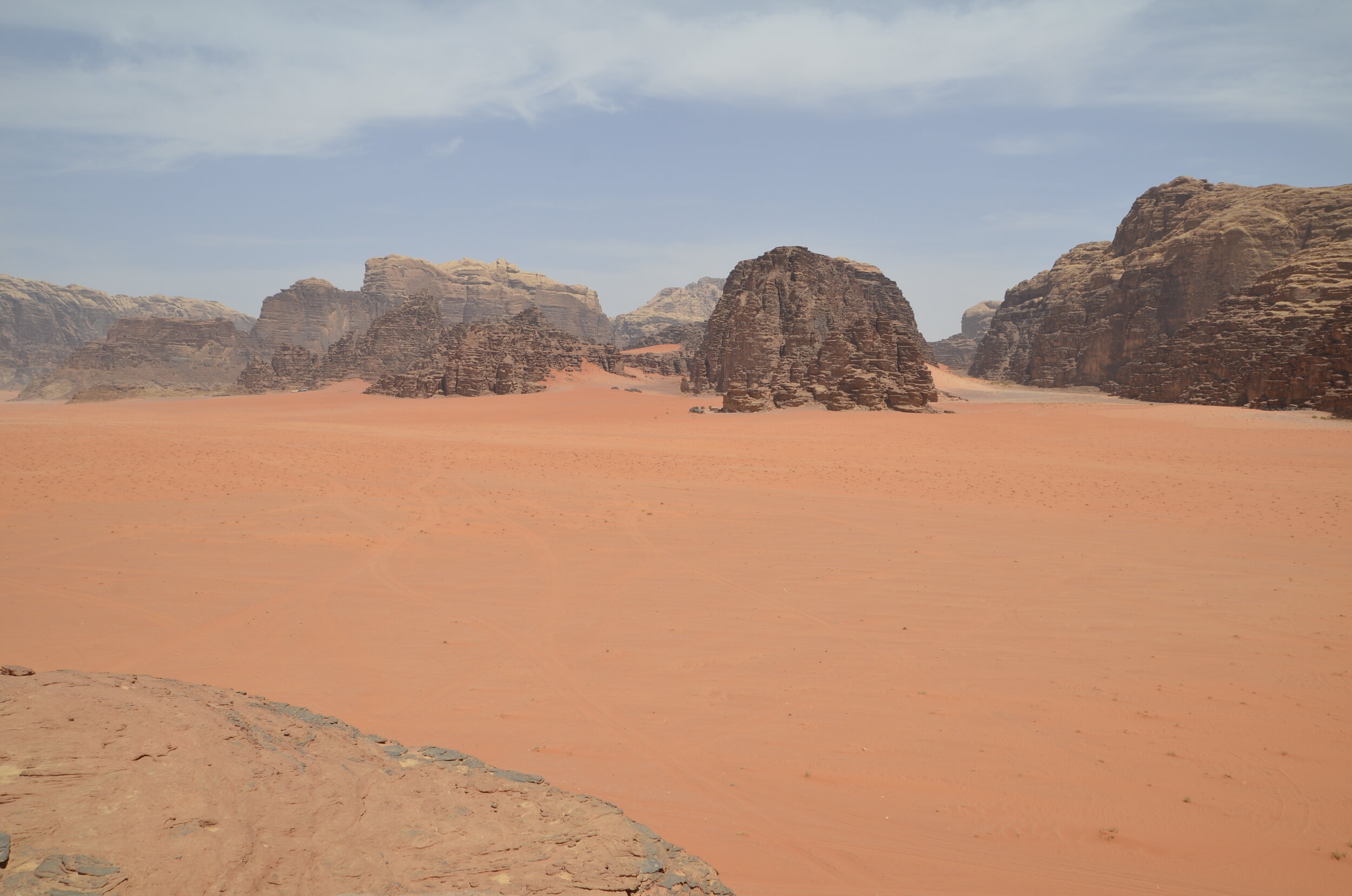
There are no roads, so you are picked up by a Bedouin in a 4 x 4, and driven around to the sites, as well as to your tent camp.

_DSC7838.JPG

If you enlarge the picture above, you can see 2 camps up against the rocks.

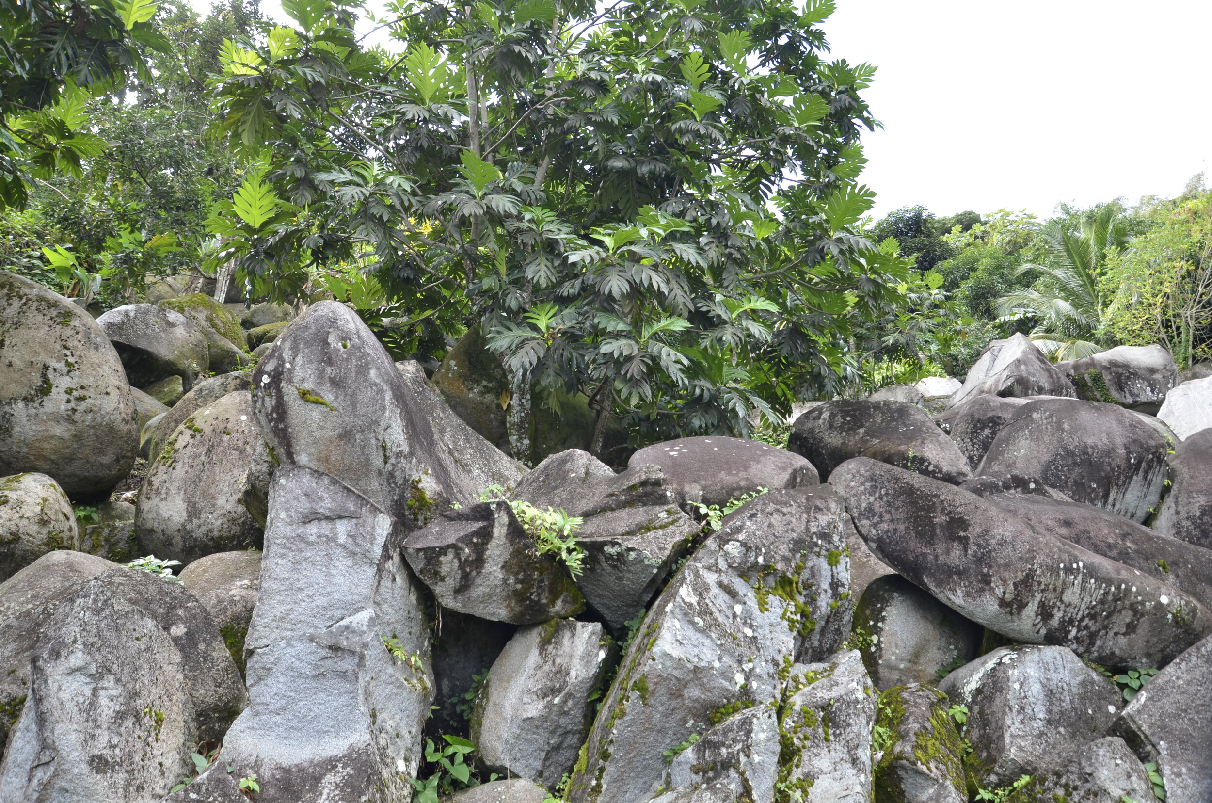
There are some canyons or crevices with greenery that we hiked into…

_DSC7860.JPG

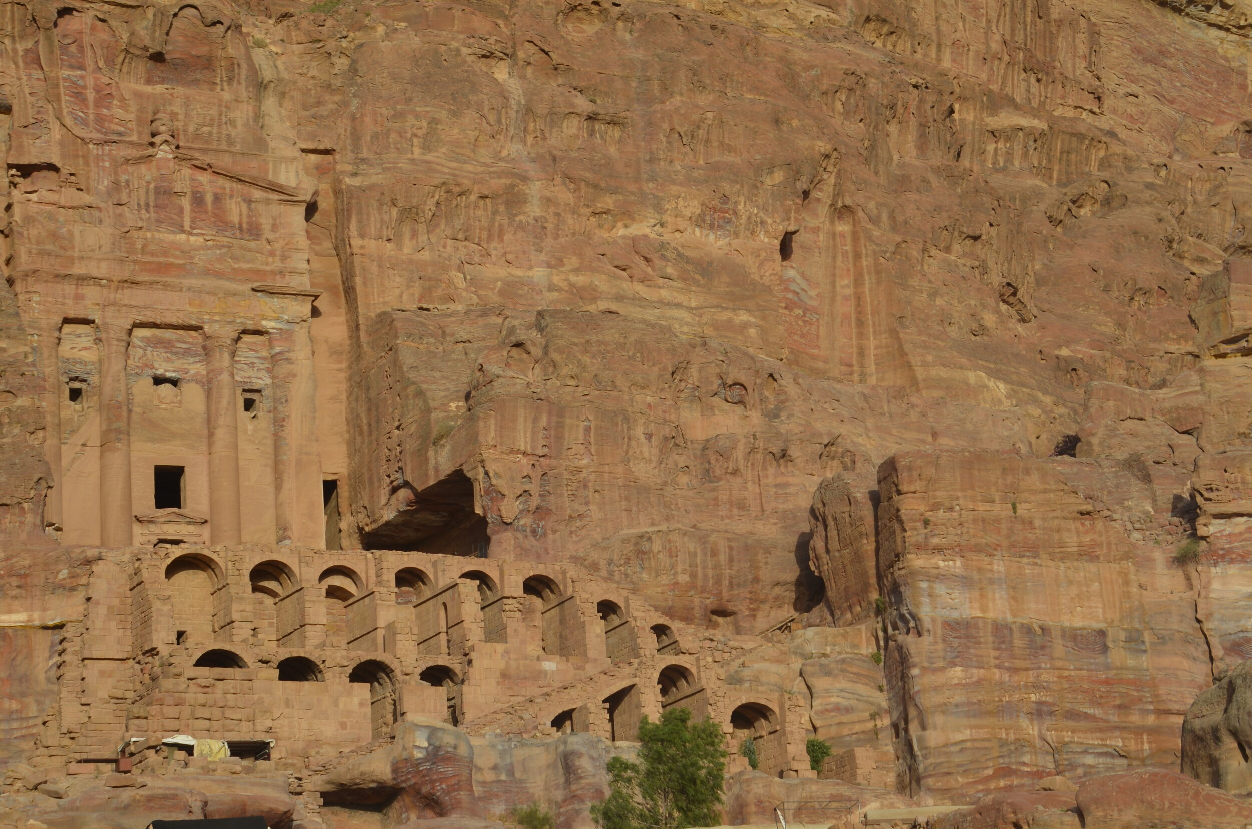
…to see petroglyphs. (our guide didn’t speak much English, so we didn’t learn too many details about the sites we stopped at)

_DSC7851.JPG

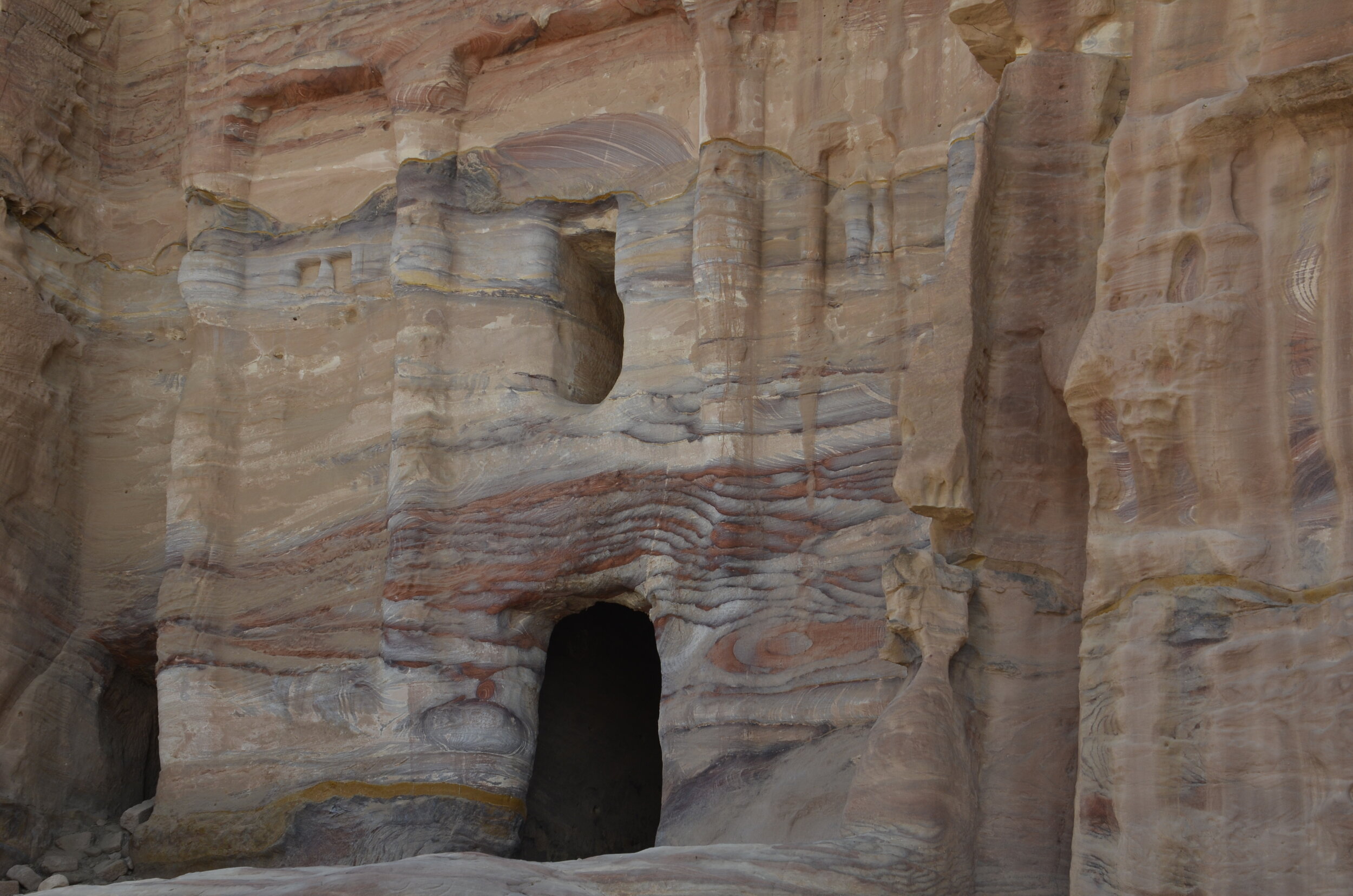
Some of the rock walls on the way in looked like they were melting -

_DSC7844.JPG

We hiked up and over an arch, to get spectacular 360 degree views -

_DSC7871.JPG

The red sand everywhere was gorgeous, and made even more striking when compared to pale areas.

_DSC7884.JPG

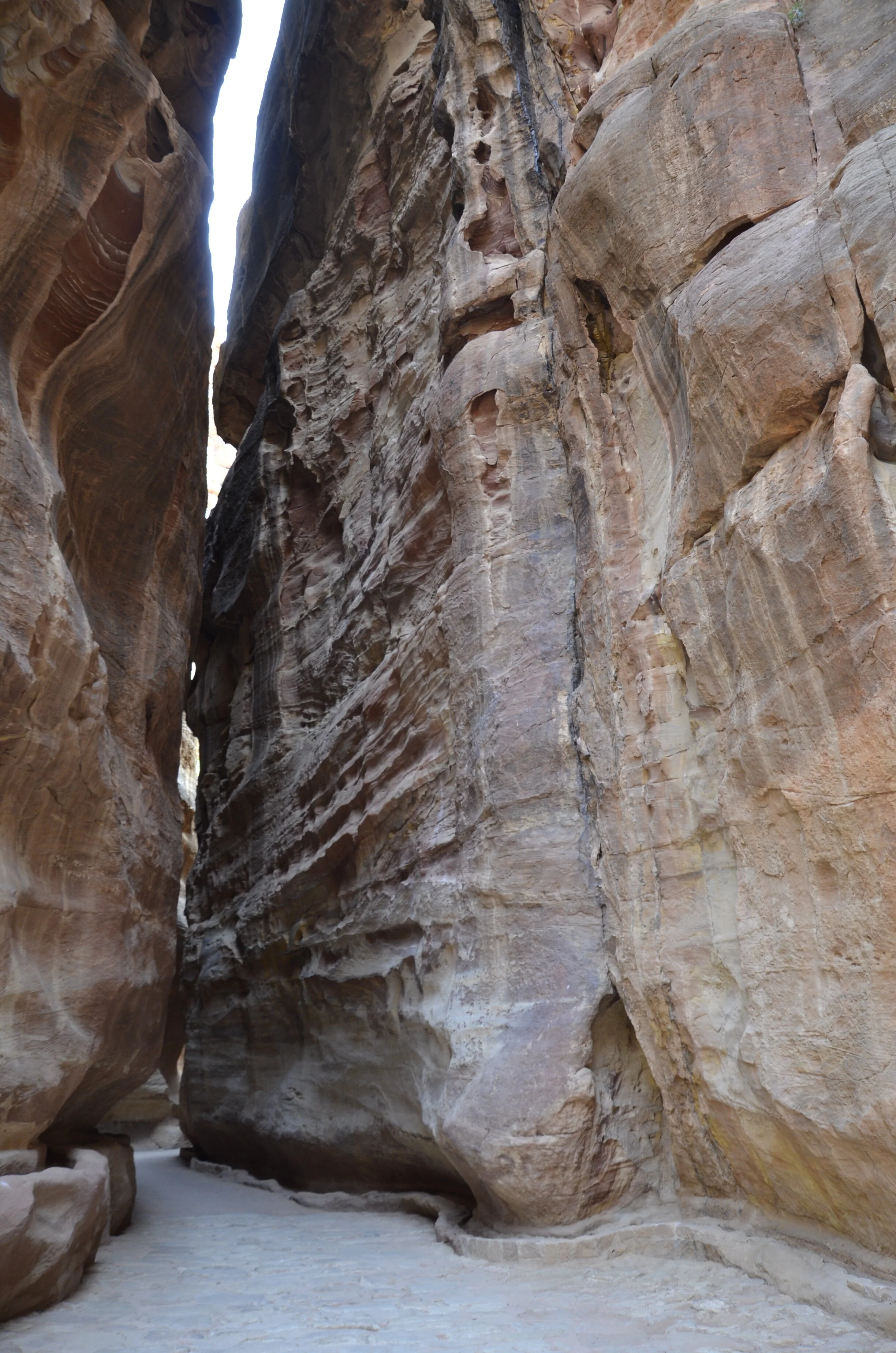
Another interesting hike we were sent on, was a bit daunting. Our guide dropped us off at the opening of a canyon, and said to follow it for about 20 minutes, and he’d pick us up on the other end. (what???)

_DSC7905.JPG

We were hoping that the correct path was the sandy one off to the right…

_DSC7907.JPG

… and happily, we came out the other end, sandy and hot, but successful.

Our guide said there are about 100 tent camps scattered through the desert, but very few are open right now, due to lack of tourists. Unfortunately, I didn’t take any specific pictures of the Bedouin tent camp that we spent the night in (with a handful of 20-somethings), but you can see the tops of most of the tents, in this picture I took in the early morning:

_DSC8034.JPG

We did a super touristy thing of a camel ride in the desert at sunrise. It was actually quite fun, as the coolness was nice, and the changing light was neat to see. Our trusty steeds:

_DSC8013.JPG

Watching them unfolding was interesting, but riding them while they stood up was pretty “rocky” (make sure you have your sound up to hear the camel grumbling) -

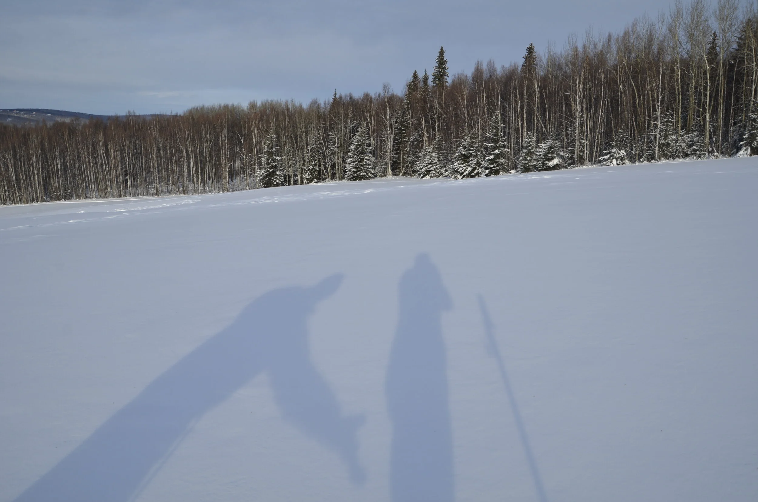
Yes, I’m still into shadow pictures -

_DSC8023.JPG

Wind carved rocks in early morning:

_DSC8029.JPG

Goodbye from the desert!

PXL_20210506_023826923.jpg
_DSC7837.JPG

Petra day 2

So when our guide met us the next morning, he said he had been trying to figure out what he was going to do with us, after Steve had sent him a selfie of us at the Monastery the day before. I knew there were several trails I wanted to explore, so I was pretty sure we’d see a lot and stay busy.

On our way through the Siq again, he pointed out the remains of a carving of a man and a camel…

_DSC7651.JPG

… as well as 2 camels:

_DSC7652 camels.JPG

Seeing the sights in different light was pretty neat (this was about 0730):

_DSC7686.JPG

Forgive the slight blurriness of the next picture, but it’s the only one I have that shows where the current level of the “street” is, and what may still be hidden.

_DSC7694.JPG

Many of the tombs were topped with a double staircase, signifying going up and coming down from the heavens:

_DSC7699.JPG

“You want me to go where?”

_DSC7705.JPG

Our first big hike was up to the High Place of Sacrifice, along gorgeous multicolored walls again -

_DSC7708.JPG

Looking down on the Royal Tombs…

_DSC7717.JPG

… and in more detail -

_DSC7718.JPG

In the picture above, you can see a person for scale in the bottom right corner. You can also see the double staircases adorning the tops of the tombs.

A bird’s eye view of the valley and part of the complex:

_DSC7720.JPG

The Theater could seat 8500, and again, was carved, not built.

_DSC7730.JPG

Inside a tomb, you could see amazingly straight lines…

_DSC7738.JPG

…on enormous scale (remember, carved by hand).

_DSC7741.JPG

More beautiful colors -

_DSC7748.JPG

A Byzantine church was built in Petra in the fifth century AD, and the mosaics on the floor are well preserved -

_DSC7769.JPG

I loved the color of the columns from the “blue church” (the stone is blue Egyptian granite) -

_DSC7770.JPG

As we left for the last time, the Treasury had yet a different lighting around noon -

_DSC7786.JPG

Petra

Having a UNESCO World Heritage site to yourself is a traveler’s dream, and one that we were very pleased to receive. We arrived in the modern city of Petra around noon, and were scheduled to have a guide for the next day. We did some quick research and decided to try making it to the Monastery and back before the entrance closed at 7 pm. The afternoon light was supposed to be optimal for that site. The confounding factor was that it was 6+ km to get there, including 800 steps at the end. We were some of the last tourists (we’re guessing) to enter the gates at 3:30 pm. [you definitely should open this post in a separate tab to be able to appreciate the colors]

_DSC7489.JPG

You enter the ancient city of Petra by walking through the Siq, which is a 1 km long slot canyon. The wind and water carvings in the rocks looked like laser etching sometimes -

_DSC7498.JPG

The Indiana Jones moment…

_DSC7504 crop.jpg

The Bedouins leave their camels for the photo op.

_DSC7508.JPG

We didn’t tarry at this site, as we had “miles to go…” before we could rest. It felt like heresy to fly past this, but we knew we’d be able to spend as much time as we wanted tomorrow. (that photo has not been retouched at all - the sandstone was really that pink)

_DSC7527.JPG

I was mesmerized by the multicolored layers in the rocks of the Royal Tombs. I had never read anything hinting about how gorgeous they were.

_DSC7531.JPG

The Colonnaded Street looking back at the Royal Tombs:

_DSC7539.JPG

Ok, some history… Petra was once a thriving trading center and the capital of the Nabatean empire between 400 BC and 106 AD, before it was swallowed up by the Roman Empire.

Now on with our story… :) In the next picture you can see the women on the stairs in the bottom right, and the men on donkeys. We were pestered constantly as we trudged on, to accept a donkey ride, including up the 800 steps.

_DSC7545.JPG

The vivid colors in the surrounding rocks kept me climbing…

_DSC7582.JPG

This was my favorite shot of the Monastery. We were never sure how much farther we had to go, and kept turning corners, until…

_DSC7550.JPG

Steve for scale, yet again -

_DSC7553.JPG

All of these monuments were carved (not built) as tombs, and only given their names due to legends or stories.

_DSC7559.JPG

We allotted ourselves only 5-10 minutes at the Monastery, in order to make it back to the front gates by closing time. We actually didn’t know if they would lock the gates or if they knew who might still be in the site near sundown.

_DSC7594.JPG

The colors were even more vivid on our back out…

_DSC7604.JPG

…and I couldn’t stop taking pictures.

_DSC7608.JPG

The constructed (not carved) arches in the picture above are the remains of a Roman prison. There is also a glimpse in the lower left corner of the ratty souvenir stalls that the “Bedouins” are allowed to have at the site. The guide we had on our second day said that the people populating the site and the surrounding hills aren’t truly the nomadic Bedouins, but squatters/gypsies who appropriated the name to use in bargaining with the Jordanian government to remain in the area (and pester the tourists by selling junk).

_DSC7614.JPG

As we were leaving the Treasury for the day, I got some fantastic shots of the detail in the carving:

_DSC7630.JPG

The depth of the facade was pretty amazing -

_DSC7632.JPG

For the last hour of our time in Petra, we were literally the only ones there (barring a very few vendors). Even the camels were gone at the Treasury. So, I’ll close with my hand held video (please forgive the lack of smoothness) of our version of discovering the Lost City.

You’ve probably already figured out that we weren’t locked in for the night. We passed through the entrance gates at 7:02 pm.

Castles and Jordanian countryside

Even though the title says otherwise, the first place we visited upon driving south out of Amman, was Mount Nebo, said to be the burial place of Moses. He was led there by God and allowed to see the Promised Land but not enter it. The view from the mountain looking down to the Dead Sea (on the left side of the picture), with the far hills being Israel:

_DSC7222.JPG

In the Byzantine church, there were beautiful mosaics that were completed in 530 AD.

_DSC7229.JPG

The Brazen Serpent monument was sculpted to represent the bronze serpent Moses created in the wilderness, and Jesus’ cross. That’s an olive tree beside it (and for some reason, steps leading up to a stand where one can give a speech if one is so inclined) -

_DSC7243.JPG

St. George’s Greek Orthodox Church in Madaba was our next destination, to see the Mosaic Map made in 560 AD, that originally depicted all the major biblical sites in the Middle East (and you can see the fish in the river).

_DSC7255.JPG

I was entranced by the more recent mosaics on the walls, with their vivid colors and details:

_DSC7274.JPG

Every town we passed through, no matter how small, had at least one mosque with speakers on the minaret, calling the faithful to prayers 5 times a day.

_DSC7299.JPG

It was challenging at times to find food to eat on our travels through a Muslim country during Ramadan and amidst COVID restrictions. The faithful fast from sunup to sundown during the month of Ramadan, and then there was a curfew that closed restaurants at 8 pm (sundown was about 7:30 pm). Luckily, hotels were able to serve food any time, and there were a few restaurants open during the day.

_DSC7310.JPG

Continuing south, we crossed Wadi Al Mujib, which is Jordan’s Grand Canyon.

_DSC7307.JPG

Once back up on the other side, you could easily see from which direction the wind blew:

_DSC7326.JPG

As we were driving on the “highway”, passing through towns, we marveled at their parking patterns (there was always one lane left open for traffic - barely) (that minivan is parked):

_DSC7328.JPG

Next up was Kerak Castle. It is one of the largest Crusader castles in the Middle East and was started in 1142.

_DSC7337.JPG

It was a warren of multiple levels and numerous rooms.

_DSC7367.JPG
_DSC7378.JPG

Again, Steve for scale -

_DSC7357.JPG

We really enjoyed wandering all over by ourselves.

_DSC7359.JPG

As we drove through the desert…

_DSC7397.JPG

…we would occasionally encounter bright spots -

_DSC7388.JPG

We stayed overnight in a guesthouse…

_DSC7449.JPG

…perched on the edge of a canyon in Dana nature preserve.

_DSC7426.JPG

As we hiked down a short ways, we picked up some friends -

_DSC7453.JPG

The last castle that we visited, Shobak Castle, was the least preserved and we were led around by a local guide (not given a choice to do without).

_DSC7455.JPG

It was built in 1115 by a Crusader king. Like the others we had seen, there were various levels -

_DSC7459.JPG

I’ll close with a sunset from our balcony back at the Dana Guesthouse:

_DSC7408.JPG

Next post is Petra!

Jordan

Yes, we are visiting the Middle East for our latest adventure. After flying from Atlanta to Cairo (with a short layover in Istanbul), we spent a day in Cairo touring various houses of worship. However, our first full week was spent exploring Jordan, so that’s where I’ll start (and I’ll add our “Coptic Cairo” pictures to a later post).

We spent our first 2 nights in the country’s capital, Amman, with our first day heading north to Jerash. According to Wiki, it has been inhabited “since the Bronze Age”, but it is mainly known for its very well preserved Roman ruins.

_DSC7109.JPG

This is Hadrian’s Arch, built in the 2nd century. The detailed carving still present was fantastic -

_DSC7112.JPG

The whole site was huge and spread out, but one of my favorite areas was the forum, surrounded by 56 columns:

_DSC7132.JPG

The main street, the Cardo, led out from here, and the original Roman road is still present:

_DSC7135.JPG

Up the hill were the Temple of Zeus and the South Theater -

_DSC7147.JPG

The Theater could seat 5000. When we wandered in, a Jordanian in traditional garb was serenading some tourists with a bagpipe (??).

_DSC7150.JPG

This is a good bird’s eye view of the forum, the Cordo leading away, and the columns on the right from the Temple of Zeus -

_DSC7165.JPG

Sorry I don’t have people in there for scale, but you can see the height of the columns next to the full size trees. We actually didn’t cross paths with many tourists throughout all our wanderings. Now on to Ajloun Castle -

_DSC7176.JPG

That is only one corner of a very large castle, but I liked how you could see the “drawbridge”, the slit in the wall out of which they could shoot arrows, and the rock base of the mountain top where they built this 12th century castle. This was looking out over the countryside through one of those slits:

_DSC7190.JPG

You might end up seeing Steve in a fair number of shots, because he’s there for scale, not Instagram. ;)

_DSC7188.JPG

Before you start harumphing…I won’t bore you any more with pictures of ruins (for this post), but I’ll share a view of the surrounding countryside. Remember this greenness when you’re seeing later posts of our travels in southern Jordan:

_DSC7200.JPG

So this was our first day of driving through Jordan, visiting all the top sites. I’m stopping now so I can send this out and leave you wanting more.

Great Smoky Mountains Nat'l Park

On previous trips to the Smokies during family reunions or just driving through, we hadn’t ever undertaken a long hike. So, I remedied that by taking three hikes. First was a warm up for our mountain hike the next day. I wanted to hike along Rhododendron Creek, for the namesake plants, but the trail was closed due to nearby road construction. We also found out later, that the “rhodies” don’t bloom in this area until late May or June. So we settled for a 5+ mile hike in the woods where spring was just arriving.

_DSC6857.JPG

Trilliums are an early spring flower that we had seen some years on our training hikes around Nashville, but never in the numbers and varieties that we found in the Smokies.

_DSC6874 Yellow Trillium.JPG

Yellow (as above) and red trilliums were quite striking in their differences, from the more common white variety.

_DSC6899 Purple (red) Trillium.JPG

And the best was the Painted Trillium:

_DSC6889 Painted Trillium.JPG

I know… you’re already tired of flowers, but one last one, of a Yellow Trout-Lily. We saw only this one specimen during our entire hike. In the background you can see the variety of flowers we enjoyed -

_DSC6881.JPG

It was a very pleasant walk in the woods.

_DSC6876.JPG

Of note, it was fascinating to have come from Charleston, where it was deep into spring according to the plant life, and then be transported back to the very beginning of spring in the Smokies.

My main objective for hiking in this park was to climb Mount LeConte. It was described in the AllTrails app as being one of the most popular hikes in the park due to great views along the way, as well as nearly 360 degree views at the top. Also, uniquely, the only overnight enclosed lodging in the park was on top. LeConte Lodge is only accessible by hiking, and we chose the 5 mile Alum Cave trail to get there.

_DSC6906 Mt. LeConte Trail.JPG

For the first mile or so, we followed that creek upstream, until we came upon the “Natural Arch” -

_DSC6909 Natural Arch.JPG

Looking back at it gave a totally different perspective:

_DSC6914.JPG

About halfway up the mountain was Inspiration Point -

_DSC6932 Inspiration Point.JPG

The trail’s namesake - Alum Cave was just a bit further on:

_DSC6940 Alum Cave.JPG

It’s not really a cave, but is apparently a nice place to wait out inclement weather. As is hinted in my pictures, we had an absolutely stellar day for hiking with clear blue skies and a comfortable light breeze.

As we climbed higher, we were treated to views with ranks of blue “smoky” hills in the distance.

_DSC6944.JPG

After climbing 3,000ft in 5 miles, we reached LeConte Lodge.

_DSC6949.JPG

From the Lodge brochure: “Guests are housed in hand built rough hewn log cabins with propane heat, kerosene lanterns, clean linens and warm Hudson Bay wool blankets.”

_DSC6953.JPG

After eating our lunch of leftover BBQ in the rockers on the porch, we walked another 2 miles checking out the trails on the mountaintop, as well as enjoying the views.

_DSC6955 Cliff Top.JPG

The ranks of blue hills kept drawing my eye -

_DSC6961.JPG

This was the actual high point on the mountain, at 6,593 ft:

_DSC6966 Summit.JPG

This was just off to the side of a trail, and you could climb up the pile of rocks to say that you stood on the summit. :)

_DSC6976.JPG

One of the main reasons for spending the night on the mountain was to catch one of the incomparable sunsets or sunrises. With the great weather we had, we were in for a treat -

_DSC6991.JPG

For the curious among you, the “lodge” (I still find the name funny, as it’s just a collection of cabins; there’s no main lodge) provided dinner of beef and gravy, with mashed potatoes, green beans, cornbread, stewed apples, peach halves and chocolate chip cookie bars. For breakfast, we received scrambled eggs, Canadian bacon, grits, pancakes and coffee. There are no showers, but they do have flush toilets in a separate building.

_DSC7008.JPG

As the sun went down, I just kept snapping away.

_DSC7006.JPG

We had followed the weather reports, and knew we weren’t going to have very nice weather for our hike back down the mountain. We awoke to fog and snowflakes on our porch:

PXL_20210421_121827981.jpg

Even though I thought I had brought everything we might need, I neglected to include gloves. So, when in need, improvise:

PXL_20210421_150439904.MP.jpg

That picture was actually taken back at the bottom of the mountain, where it was snowing large wet flakes as we ended our adventure.

The peace and beauty of the mountains will stay with me for quite a long time.

_DSC7017.JPG

South Carolina

Our trip originated as meeting friends in Charleston for a long weekend, so on the way there, we stopped at Congaree National Park. It is located in the center of the state, and preserves “the largest tract of old growth bottomland hardwood forest in the US”. On our first afternoon there, we walked along the elevated boardwalk getting acquainted with the terrain.

_DSC6730.JPG

Bald Cypress trees have “knees” that jut up from the ground, but scientists aren’t totally sure why. The prevailing theory is that they provide stability to the tree.

_DSC6733.JPG

One of the signboards we read said the mud layer throughout the area is 8 feet thick!

These are Dwarf Palmettos (and you can hopefully see the brown mud line marking high water) -

_DSC6741 Dwarf Palmetto.JPG

For our full day in the park (and my 60th birthday!), we rented a canoe in Columbia, SC. We tied it down firmly on the Fit…

PXL_20210413_140314408.jpg

…and drove 20 minutes to the put in on Cedar Creek -

_DSC6743.JPG

First, we paddled upstream for about 45 minutes…

_DSC6744.JPG

…finding gorgeous reflection pictures…

_DSC6749.JPG

…around every bend -

_DSC6760.JPG

After managing a comical “near portage” of backing up, maneuvering forward around and between tree trunks and cypress knees, we reached a nearly complete blockage of the creek by a fallen tree, so turned around, to check out what downstream was like. This was our original put in point:

_DSC6771.JPG

…and downstream we found - surprise! More water and trees!

_DSC6779.JPG

Oddly enough, there was hardly any bird song, but we did find a couple of buddies hanging out:

_DSC6794.JPG

Yes, there are two snakes sharing that branch. We only found out later, after I google searched and compared images, that these were harmless Brown Watersnakes, and not cottonmouths.

More reflections -

_DSC6791.JPG

…and cypress knees -

_DSC6786.JPG

Floating downstream amid the beauty, and peace and quiet was a great birthday present!

Shifting gears, we met up with our friends in Charleston, and one of our excursions was to visit Magnolia Plantation and Gardens. The House tours were essentially booked up, so we strolled the gardens for several hours, definitely enjoying ourselves. There were some azaleas still blooming -

_DSC6802.JPG

…and the Spanish moss dripping…

_DSC6810.JPG

Another buddy approached us as we walked around a pond -

_DSC6817.JPG

…but we ignored him.

_DSC6823.JPG

This is an Anhinga, and he was obviously quite proud of the figure he cut:

_DSC6832 Anhinga.JPG

Live oaks have interesting twists to their branches…

_DSC6843.JPG

…and even azaleas get Spanish moss -

_DSC6846.JPG

OK…next stop, the Great Smoky Mountains.

Friday Night Lights

As we were getting ready to leave Friday morning, I peeked outside to see a beautifully clear sky before sunrise. My mind started racing about all the preparations we’d made for this trip, and when would we ever get around to another one, when we’re literally handed perfect conditions for Aurora viewing. And we were already here. So… after a few phone calls, we were able to push our departure date by a day, including flights and accommodations without any extra charge, other than paying for an additional day on the rental car! (I cashed in points at a chain hotel in Fairbanks, as the lodge we’d been at was booked for that night.) Now, it would just depend on the weather remaining good, and the Aurora choosing to show up.

_DSC6669.JPG

So this is how it started, before 10 pm, and we were excited and hopeful, due to the clear sky, and my literally duct taping my focus ring on my camera. :)

_DSC6671.JPG

It looked like a spotlight shooting up from behind the trees.

In the next picture you can see the red above the curtains on the right, as well as shooting vertically in the bands on the left:

_DSC6679.JPG

We were surprised to learn that the vast majority of the lights are green, with only rare appearances of red, blue, pink, violet and yellow. I had always seen images of this rainbow hued phenomenon, when what we saw that night was pretty uniformly green. It was only looking at my pictures later, that I saw I had captured the traces of red. We couldn’t appreciate that in the sky ourselves.

The “spotlight” got bigger and brighter -

_DSC6684.JPG

…until it stretched from one horizon to the other -

_DSC6687.JPG

I was getting really cold, but I just couldn’t make myself go inside, as the sky was just lit up…

_DSC6690.JPG

…and the curtains started dancing.

_DSC6699.JPG

I thought that was going to be my favorite shot, but then the swirling started -

_DSC6702.JPG
_DSC6703.JPG

Unfortunately, we couldn’t capture this on video, as my camera was too cold to do it, and for Steve’s phone, it was too dark. Steve was able to get a few tries at video, but unless you were there, you really can’t tell what’s going on, so I won’t torture you.

_DSC6704.JPG

The light was so bright by this point, that the center white area in the picture above shows that my timed exposure was too long, where earlier, on the same settings, you could just make out the faint glow.

The Big Dipper straight overhead:

_DSC6705.JPG

As I was writing this blog, I suddenly remembered that the owner of Aurora Pointe, where we were based for our viewing and photography, had sent me a link to pictures he took of us, as well as photos and videos he shot of the Aurora. In this first one, it started well, but then went out of focus, so i stitched two parts together:

In the second one, a girl walked up when he started shooting, so I trimmed the first few seconds, but you can see her gesturing at the bottom of the picture. If you just watch the right end of the ribbon of aurora, you can see it dance. You might want to watch this several times, trying to ignore the person in the bottom center of the screen. ;)

I just kept taking picture after picture because it was constantly changing…

_DSC6713.JPG

…and lighting up the whole sky -

_DSC6709.JPG

Another from @AuroraPointe:

_A7R5299.JPG

…and me in action, on the right side of the picture:

_A7R5346.JPG

it was hard to capture the “verticality” of the lights, because the constant movement in a prolonged exposure tends to cause it to blur together, but I captured some here, as well as getting a glimpse of yellow and red at the horizon -

_DSC6717.JPG

As the night approached 0130, and my feet were ice blocks (with ice sticks for toes), the light was fading, so we reluctantly called it quits. Hope you enjoyed as much as we did!

_DSC6721.JPG

Winter fun in Fairbanks

I didn’t think I needed to put in the title, that Fairbanks is in Alaska.

We had a number of friends and family question our sanity on heading north in the winter. Since we retired, we’ve always headed south in Jan. and Feb., and I’ve been very happy. Well, seeing the Northern Lights is one of the few things that were truly on a bucket list for us.

_DSC6523.JPG

The picture above shows sunset on our first day. I was happily surprised to find that in Feb., there was about 8 hours of daylight. And even on the winter solstice, there’s still about 5 hours of light.

That first night, we had to really bundle up when going out to see the lights, as it was -25 F air temperature (no wind chill). This was the best picture I got:

_DSC6529.JPG

Hopefully, you can appreciate the faint green glow. Then, I must have bumped my focus ring, and the rest of my pictures looked like this -

_DSC6531.JPG

So, that was our first night. We stayed up until about 0100, but the lights didn’t get any better.

The next day we went dog sledding, and that was pretty cool (no pun intended).

_DSC6539.JPG

The dogs were lunging and jumping in their harnesses, despite the musher/guide having the brake or lock on the sled. This was Steve getting his mittens on, just before I joined him in the sled -

_DSC6538.JPG

It was relatively warm that day at “only” -5 F. We were actually pretty comfortable after they covered us with a sleeping bag. The views were gorgeous -

_DSC6541.JPG

Halfway through our hour trip, during which the dogs covered 10 miles, our guide stopped the sled to get pictures of us, and give the dogs a little breather.

_DSC6551.JPG

We had pulled down our balaclavas for the picture, but they were absolutely needed when the dogs were running.

the time was about 1230 pm for this shot

the time was about 1230 pm for this shot

The terrain was beautiful…

_DSC6564.JPG

…but an hour was plenty at those temps.

_DSC6579.JPG

We had a team of 10 dogs pulling us, and we were surprised at the size of the dogs. These are lean, running machines (and they only came up to our mid-thighs in height).

_DSC6593.JPG

To run the Iditarod’s 1,000 mile length, they start with a team of 16, and can’t trade in any new dogs. In fact, most mushers end the race with 10 or 12 dogs.

The second night was so cloudy, that we stayed inside, watching the “Auroracam” to see if the lights might end up showing, or if the clouds would clear. This is a website that has a camera trained on the northern sky, so you could stay inside and warm, until the show got started. Most of the time, the lights are most active between 10 pm and 2 am.

I dropped out early and went to bed before 11 pm, while Steve stayed up, hoping for clearing. Just after midnight, he woke me up and said the green bands on the webcam were becoming brighter and staying there, so we quickly got dressed in 3-4 layers, and hustled out to the field behind our lodge. We looked up into the northern sky and saw…

a cloud filled sky. No aurora. The webcam is located a number of miles away from where we were staying, and is more sensitive than our eyes.

_DSC6616.JPG

This was sunrise the next morning, just before 0900.

As we had breakfast, I was mesmerized by the colors of the Alaska Range to our south -

_DSC6619.JPG

We had a “hybrid” car -

_DSC6623.JPG

No, actually that was how we plugged the car in each night to an engine block and oil pan heater. Also, remote car starters are a real thing in Alaska. The guy who rented the car to us said he sees people on the plane hitting their remote starters right after they land, so the car is nice and toasty when they reach the parking lot. We used ours each night in the restaurants, as we asked for the check.

_DSC6635.JPG

Those are modern snowshoes. I was a little disappointed. I wanted the kind you see in pictures of old that look like tennis rackets made out of rough wood. These worked well though, and we had our own personal guide for snowshoeing around the lodge property:

_DSC6636.JPG

We were surprised at how much snow they kicked up in the back. Check out Steve’s feet, and also how well we followed our guide:

_DSC6649.JPG

Well, you’ve already seen the dog butt pictures from the dog sledding (to add to my butt collection of pictures, that I started in Africa), so here is one for my shadow collection, that I’ll be curating in the future:

_DSC6656.JPG

So, our third and final night in Fairbanks, we went to the Aurora viewing lodge again…and waited…and waited…until at 0200, we called it a night (after NO aurora activity at all) and started snowshoeing back to the lodge (just 1/2 mile away). I thought I could see just a faint green glow, so had my companions stop while I set up my tripod and took a few pictures.

_DSC6662.JPG

That was it. Our Northern Lights experience. We were already discussing how/when we might try another trip (to AK? Finland? Iceland?). We’ll keep you posted.

West coast and North coast

At the southernmost point in P.R., on the southwest corner, is a lighthouse, and unending views of water. This is Cabo Rojo.

_DSC6051.JPG

This natural bridge had such an allure for adventuresome souls, that they literally barricaded the path through the vegetation, to stop people from walking over it.

_DSC6061.JPG

The variations of blue in contrast to the cliffs kept me snapping away…

_DSC6064.JPG

We settled in Rincon for several days…

_DSC6073.JPG

…and checked out a few beaches.

_DSC6074.JPG
_DSC6156.JPG

I enjoyed trying to capture the elusive “tube” -

_DSC6179.JPG

…like the surfers.

_DSC6229.JPG

I was so focused on capturing the wave curling over, that I didn’t realize I also got the surfers and body boarders in the wave behind -

_DSC6244.JPG

After Rincon, we headed up around the northwest corner of the island to land in Isabella for another few days.

_DSC6353.JPG

The wave action was definitely stronger up here, so we didn’t do much swimming. However, on our first afternoon, as we walked along the beach near our lodgings, I thought I saw a big splash much farther out than the breaking waves close to us. I did! I did! I did see a whale!

_DSC6295a.jpg

Sorry for the graininess, but that was shot from the beach with my 400mm lens, and then I cropped the picture even more. That was probably a better catch of a breaching humpback than I got from the boat in Tonga!

_DSC6385.JPG

Most of the coast along the north side of the island is very sharp limestone, and the ceaseless waves work their magic.

This is Jacinto’s Well -

_DSC6359 Jacinto's Well.JPG

And I liked this still of the aftermath:

_DSC6402.JPG

One day we drove into the interior of the island a ways to check out the Gozalandia Cascades.

_DSC6328.JPG

The upper fall had a small secluded pool deep enough to swim in, but you had to crawl over big rocks to get in, so I passed on this one. However, I did indulge in a very cool swim in the pool of the lower falls:

_DSC6340.JPG

Even at this stream, I caught a reflection -

_DSC6346.JPG

One evening, as we had dinner at a beachside cafe, the waves were really putting on a show -

_DSC6431.JPG

On our way back towards San Juan, we stopped at a natural attraction named Cueva del Indio (Indian Cave). Down in a cave along the coast are petroglyphs left by Taino Indians well over 500 years ago. The old wooden ladder that visitors used to descend into the cave was removed several years ago by the government, and the only way in now is scrambling down (which we deemed best suited to those a few decades younger than us!).

_DSC6471.JPG

We opted instead to walk along the jagged limestone coast to see the numerous arches and windows carved by the sea.

_DSC6480.JPG
_DSC6474a.jpg
_DSC6506.JPG

As we were leaving, this guardian of the parking lot sauntered out to say goodbye -

_DSC6513.JPG

Well, another adventure comes to a close. Our next one is in quite a bit of a different climate. Until then…

PXL_20210121_221507143.jpg

South coast P.R.

We dropped out of the central mountains to end up on the southern coast, about midway across its length, at Ponce. This city was described as elegant and cultured and a rival to San Juan “back in the day”. I was looking forward to driving through its historic central area and gazing at “hundreds” of ornate homes and buildings. Unfortunately, it was way overhyped. I don’t know if it was just bad timing because of Covid restrictions, but no fountains had water, everything was shuttered, and the whole place just looked sad. The city cathedral on the center square had been damaged in the earthquake a year ago and was still closed. It looked like no restoration was being undertaken at all. However the facade was still pretty.

_DSC5905.JPG

A very interesting building was just around the corner, also on the main square.

_DSC5906.JPG

This was Ponce’s fire station, before being turned into a museum honoring their firefighters.

Our favorite stop was actually north of town at Castillo Serralles:

_DSC5893.JPG

This 4 story Spanish style mansion was built in 1934 for a leader in the sugarcane and rum industry. The tour inside was magnificent, but no pictures were allowed.

And that was Ponce. We’ve been there, so you don’t have to.

Now, on to Guanica, just about 45 minutes west, and near the Guanica Dry Forest Reserve. We did two great hikes in the area.

_DSC5922.JPG

The “air plant” shown above - well, that’s what I always called it when I was young - is an epiphyte, and doesn’t need soil. I have always associated them with higher humidity, but they were all over the trees here in this desert like environment. (I just looked that plant up, and it’s a Ball moss.) The yuccas here grow crazy big -

_DSC5926.JPG

On our way back down the hill, we could see what we were missing behind us, as we trudged up -

_DSC5954.JPG

I thought this “cactus tree” was pretty unique -

_DSC5959.JPG

On our second hike in the reserve, this little guy (about 2 inches across) greeted us at the beginning, but looked a little off balance -

_DSC5965.JPG

This hike was a 6.5 mile out and back trail along the coast, with gorgeous views…

_DSC5977.JPG

…and unique flora:

Spanish dildo cactus

Spanish dildo cactus

_DSC5984.JPG

We thought the fruiting bodies of the barrel cacti were quite striking:

_DSC5998.JPG

Every time we would come ‘round another point, all I could say was “wow!”

_DSC6000.JPG

Even though the hot sun was beating down, we didn’t mind walking along these cliffs for the great breezes, but we were careful not to get too close to the edge -

_DSC6030.JPG

This point sure reminded me of Bryce, in Utah:

_DSC6031.JPG

I’m not sure I’ve ever seen a “double window” before:

_DSC6038.JPG

I’ll close with the view from our dinner table that night, where we treated ourselves, after our long, dusty trek -

PXL_20210119_222625675.jpg

Central Puerto Rico

I had been reading in my Puerto Rico guide book about Ruta Panoramica, and it sounded like it was right up our alley - a scenic drive on back roads across the length of the island. In the book, it was described as well maintained and well marked. Well… even though this was a very recent edition of the book, I don’t think the author had driven or ridden along the route herself in the last several years. We were dismayed, horrified and awestruck in equal measures.

_DSC5833.JPG

That was indicative of the vistas I could see, but not Steve. He was white-knuckling it for over 2 hours around hairpin turns, dodging broken pavement and potholes, as well as oncoming cars and trucks that acted like they owned the center of the road. The angles of incline of the road were just amazing. There were numerous tracks of at least 45 degrees. If we were going up, both of us would lean forward at the crest trying to see where the road went before the car kept rolling forward. Unfortunately, there’s no way I could document this roller coaster ride. Hopefully, you can ride along with my words.

_DSC5829.JPG

The central mountains are very lush, and that above is a “flame tree”, with banana plants in front of it. At one point, I asked Steve to stop so I could get a close up picture of the flowers.

_DSC5843.JPG

As I got out of the car, he rolled forward, ostensibly to get somewhat off the road, not realizing there was at least a foot drop off at the edge of the pavement. The right front wheel was spinning freely in space, while the front bumper hung on the asphalt. He had me get behind the wheel, and before I knew what he was doing, the car was rolling forward, even though it was in park! As I stomped on the brake, he explained that he had lifted the front end, dislodging the frame from the edge of the road, allowing us to move it to a place where all 4 wheels had traction. Whew. That picture above will be seared into our memories of a very close call on a twisty road in the middle of Puerto Rico.

_DSC5818.JPG

Alongside the road there would be random groups of, or single, granite boulders.

In the overgrown areas, there were bamboo, fern trees, palms, banana plants, flame trees, hibiscus, elephant ears and numerous unnamed plants, that I was marveling at, while Steve studied the asphalt -

_DSC5836.JPG

The lushness covering the rolling hills was amazing -

_DSC5850.JPG

In the small town of Jayuya, we stayed at a hotel that was first built as a mansion in 1858.

_DSC5881.JPG

Hacienda Gripinas

_DSC5889.JPG

I wanted to visit a nearby coffee plantation, so off we headed up some more very narrow, curvy and steep roads. At the top we were greeted by a locked gate, after climbing a steep one lane road. There was no place to turn around nor back safely down to, so we proceeded to complete not a 3-point turn, but rather a 12 or 14-point one. Aarrggh! After arriving safely back at the hotel, we spent the afternoon reading and swimming.

I was able to get some beautiful pictures of our surroundings on our ill fated trek -

_DSC5875.JPG

Before I close, I want to share some beach pictures (you can never have too many, can you?) from our explorations on the east coast, before we headed to the highlands.

Playa Colora (reached by a mile walk from the end of Seven Seas beach in Fajardo) -

_DSC5803.JPG

Unnamed beach on the SE corner -

_DSC5813.JPG

I’ll be keeping my eye on you…

_DSC5812.JPG

El Yunque

This is the only tropical rainforest in the US National Forest system. Due to limitations imposed by the pandemic, as well as trails not open yet after Hurricane Maria in 2017, there was little choice for us as to what to do during our visit. Thus, we just HAD to hike up to the top of El Yunque.

In this picture, there are my favorite fern trees in the foreground, and in the distance you can see the Atlantic off the NE coast of the island. The high rises on the coast were near where we stayed in Luquillo.

_DSC5710.JPG

I hadn’t initially planned on hiking the El Yunque Trail because I assumed it would be rated strenuous and/or be too long for these aging legs. I was happily surprised to find that on AllTrails (the hiking app I’ve used all over the world to find good trails and recent reviews of conditions) it was rated as moderate and was “only” about 5 miles long. All right then - up we go!

_DSC5727.JPG

I took lots of pictures of plants and flowers, but I’ll try not to bore you too much…

I loved the new pink fern leaves in this grouping:

_DSC5726.JPG

This flower (name unknown) was all over at lower elevations and really showed the moistness all around -

_DSC5732.JPG

We started hiking about 9 am, and skies were initially clear. As we climbed higher, we became one with the clouds -

_DSC5744.JPG

I’m not sure if you can tell from the picture above, but the grade of the trail really wasn’t that steep, it just kept going up and up and up…

This was a really neat large fern frond as it was just starting to unfurl -

_DSC5738.JPG

Amazingly, there weren’t nearly as many waterfalls or even seeps as I would have guessed, given how much rain this area gets (240 inches a year!). We did find this cute little one tucked into a hillside -

_DSC5749.jpg

This was the observation tower at the top of the peak (3380 ft altitude)…

_DSC5754.JPG

…and this is what we could see from there -

_DSC5755.JPG

We were pretty sure that there were some magnificent views hidden there, but alas, the clouds were thwarting us. As we started back down, we caught glimpses of brighter light ahead, and then yes, even some sun! Ahhh… so that’s what we had been missing -

_DSC5770.JPG

Luckily, there was a side trail that cam out to a ridge about 500 feet lower than the peak, that gifted us with some jaw dropping views -

_DSC5774.JPG

So our way back down was definitely much brighter (and was how our entire hike was supposed to be!).

_DSC5780.JPG

Steve has a tracker on his phone that keeps track of all our stats for a hike. We walked a total of 5.3 miles and took 4 hrs and 20 minutes to do so, gaining 2600 ft up and down throughout. This was a snail’s pace for us, but it was a very enjoyable day.

_DSC5787.JPG

I believe I have a thing for furled ferns.

Sun & fun

Yep, we’re still in Puerto Rico, and will be for a total of 3 weeks. And we’re VERY happy that we’re still considered as being in the US. See, when we return, it’ll be a domestic flight, and we don’t have to try and figure out where to get a rapid COVID test here, which the CDC will be mandating for international arrivals as of 2 days before we get back.

So we’re now in the NE corner of the island, specifically in the towns of Luquillo and Fajardo. There’s so much to see, do and eat here!

We started with Luquillo Beach. We arrived just after they opened the parking lot at 0900, and staked out our place in the shade. This beach is a mile long -

_DSC5641.JPG

…and you can probably see the white buoys out in the water, delineating the swimming area (i.e. keeping the jet skis away from us). I’m not usually one for swimming (I’d rather snorkel or dive), but this beach was just too perfect to pass up the opportunity. I truly have never seen finer sand, more gentle slope, lack of any rocks/coral to step on, or gentler waves than on this beach.

The picture above was our view to our left, and to our right:

_DSC5646.JPG

Those brownish piles on the sand are not stinky seaweed, but soft pine needles. Not so soft were the little pine cones under the trees.

We walked up the beach to our right, and around the point was another long stretch of deserted beach.

_DSC5653.JPG

As we turned back to walk to the main part of the beach, we’re greeted with a view that I can only call “quintessential tropical beach”.

_DSC5658.JPG

I really liked the colorful beach umbrellas and lifeguard’s surfboard -

_DSC5662.JPG

The shaved ice vendor’s constantly ringing bell was interesting…

_DSC5673.JPG

The next day our activity was first to find, then dare to try, a natural waterslide. I had read about this on a website called puertoricodaytrips.com. That site has provided me many different ideas and plans (that Steve’s not so sure about sometimes). Anyway, after stopping at an anonymous house with an old man and his younger companion out on the front porch, talking to a group of young men in bathing trunks and with towels over their shoulders, we felt we were at the right place. They wanted $5 “for parking”, even though we had parked on the side of the road and walked up the hill to them. We were then shown the trail down a steep muddy hillside and given instructions in Spanish, with recognizable hand signals…and off we went! (We had read a decent description of the site from that website, so felt comfortable proceeding.)

DSCI4410.JPG

As we came to the river, we could see this small waterfall, but from pictures I had seen, I thought we were supposed to head upstream. Luckily there was a couple cooling off in the pool at the bottom of the slide, but they apparently hadn’t attempted the slide. At first, they directed us up another trail, and in Spanglish, we figured that this was the approach to the top of the slide. We climbed the hill only to find the trail leading to someone’s backyard and carport. So back down we climbed, to find the young men we had seen on the road, enjoying the slide. They showed us how to climb up the side of the rocks, and where to sit to start the fun.

our guides

our guides

the slide

the slide

View from the top:

DSCI4414.JPG

And away we go! (there’s no sound on these)

Well, I felt like 20-something at the top of the slide, but post slide with numerous bruises has me feeling a bit older. ;-)

While we’re sharing videos, I’ll close with this audio only clip. This is the sound of Coqui frogs that are everywhere on the island, and we fall asleep to their music every night. All this sound comes from a frog no bigger than your thumbnail. I hope to get a picture of one before we leave…

San Juan, Puerto Rico

Because I don’t like cold, grey winter weather, we have headed south each January since we retired. However, this year travel was a little more difficult…you know…that pandemic thing…

Anyway, with Puerto Rico as a “part” of the US, travel there was relatively easy, and the island is big and varied enough to spend a few weeks soaking up sun, sand and saltwater.

On our first evening on the island, we caught the golden hour while walking along La Muralla (the wall) that was built 400 years ago to protect San Juan.

_DSC5592.JPG

The red gate in the picture below is the only remaining opening through the wall (out of 5 originally) along its 3 mile length.

_DSC5595.JPG

The white castle looking structure in the back is the Governor’s residence.

Here’s another “golden” view:

_DSC5606.JPG

The greenery at the base is a shrub, ”beach bean”, that provides shelter for HUNDREDS of cats. As we rounded one corner we were assailed by the extremely strong and noxious wafting of cat urine and excrement. But they’re so cute…

_DSC5601.JPG

La Garita, the sentry box, in the picture above the cats, has become the symbol of San Juan.

_DSC5615.JPG

They jut out of the wall in several places, and have narrow walkways to them sometimes, and narrow windows.

PXL_20210108_192110598.jpg

The thickness of the wall is just amazing. In some places it’s 45 feet thick! This next picture was taken from the grounds of El Morro, a fort built almost 500 years ago, to protect San Juan and its harbor. Unfortunately both forts in San Juan were closed due to the pandemic. You can see how thick the wall is, near the bottom right, as well as appreciate the wild Atlantic coast stretching away.

_DSC5633.JPG

As we walked through Old San Juan, we really enjoyed all the brightly painted buildings with bright white trim.

_DSC5639.JPG

I’ll have more later. For now, adios amigos!

PXL_20210108_191912174.MP.jpg
PXL_20210109_021023943.NIGHT.jpg