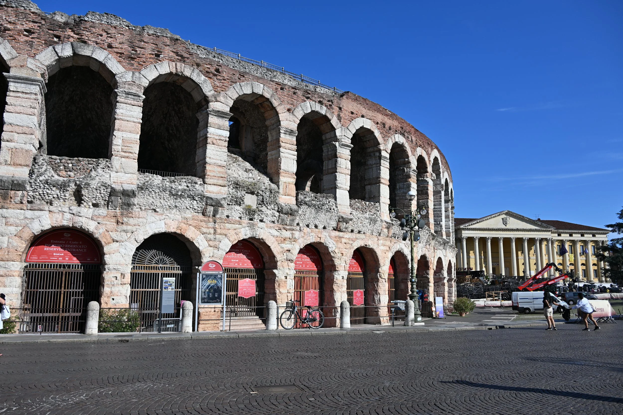
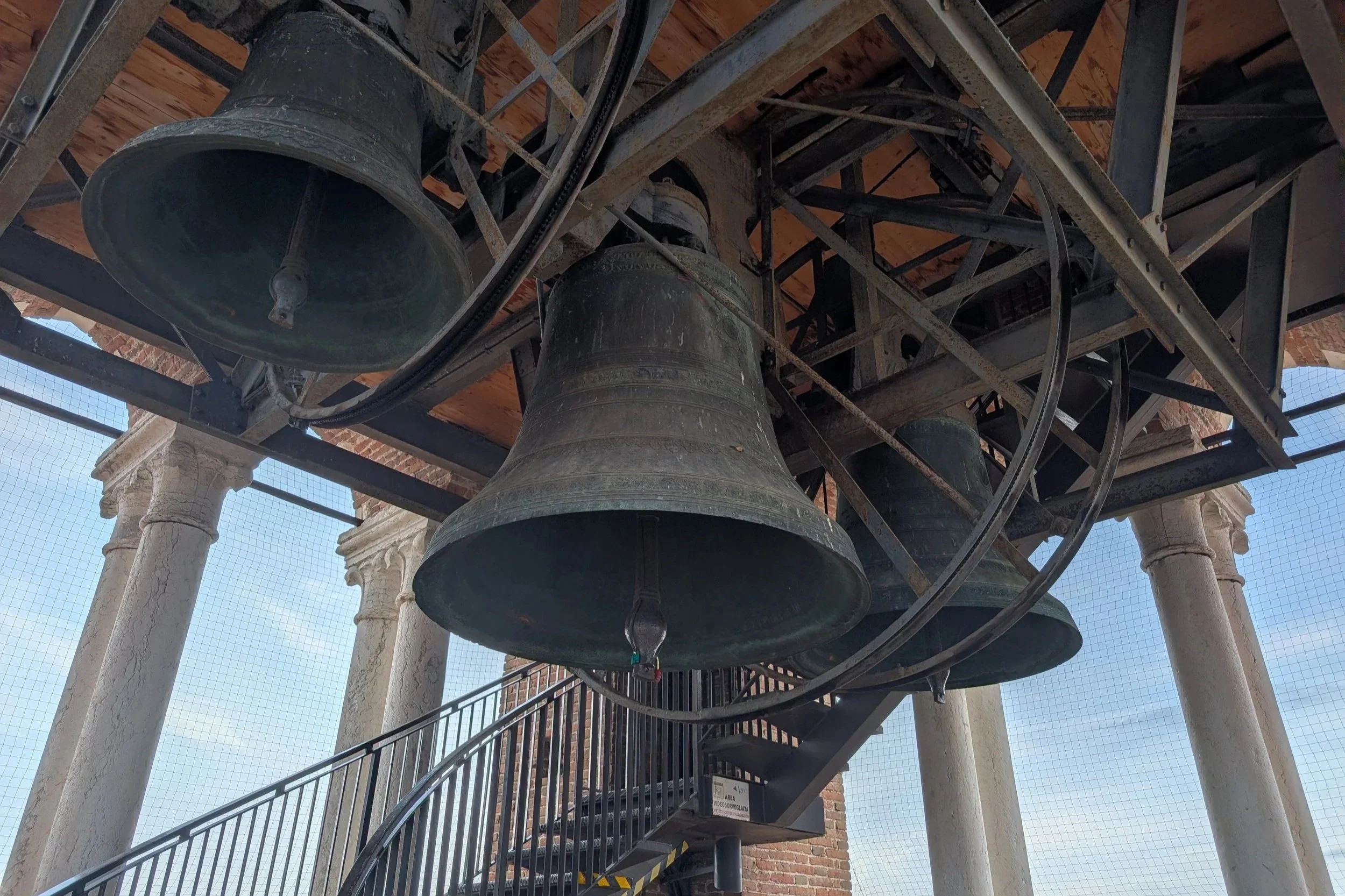
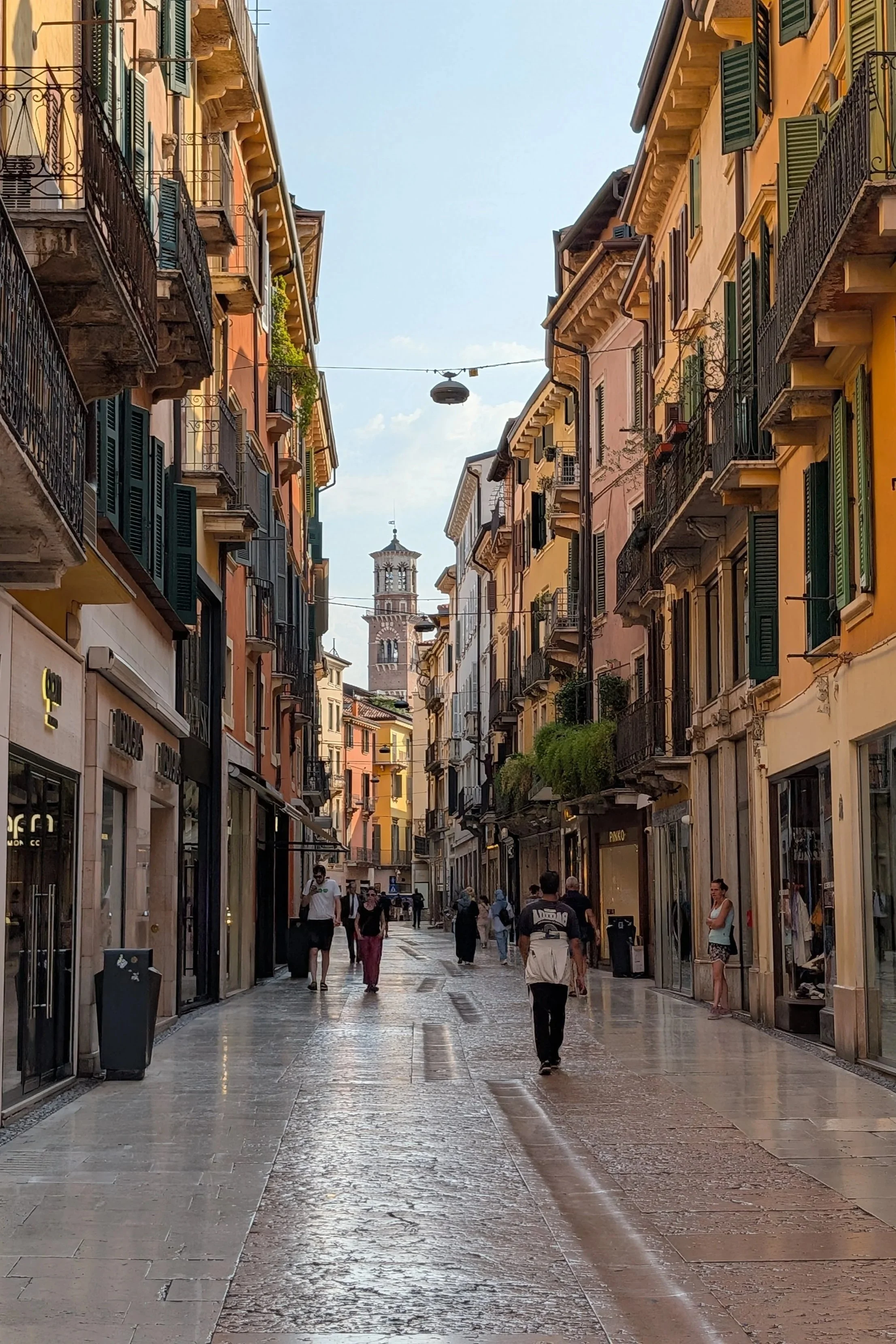
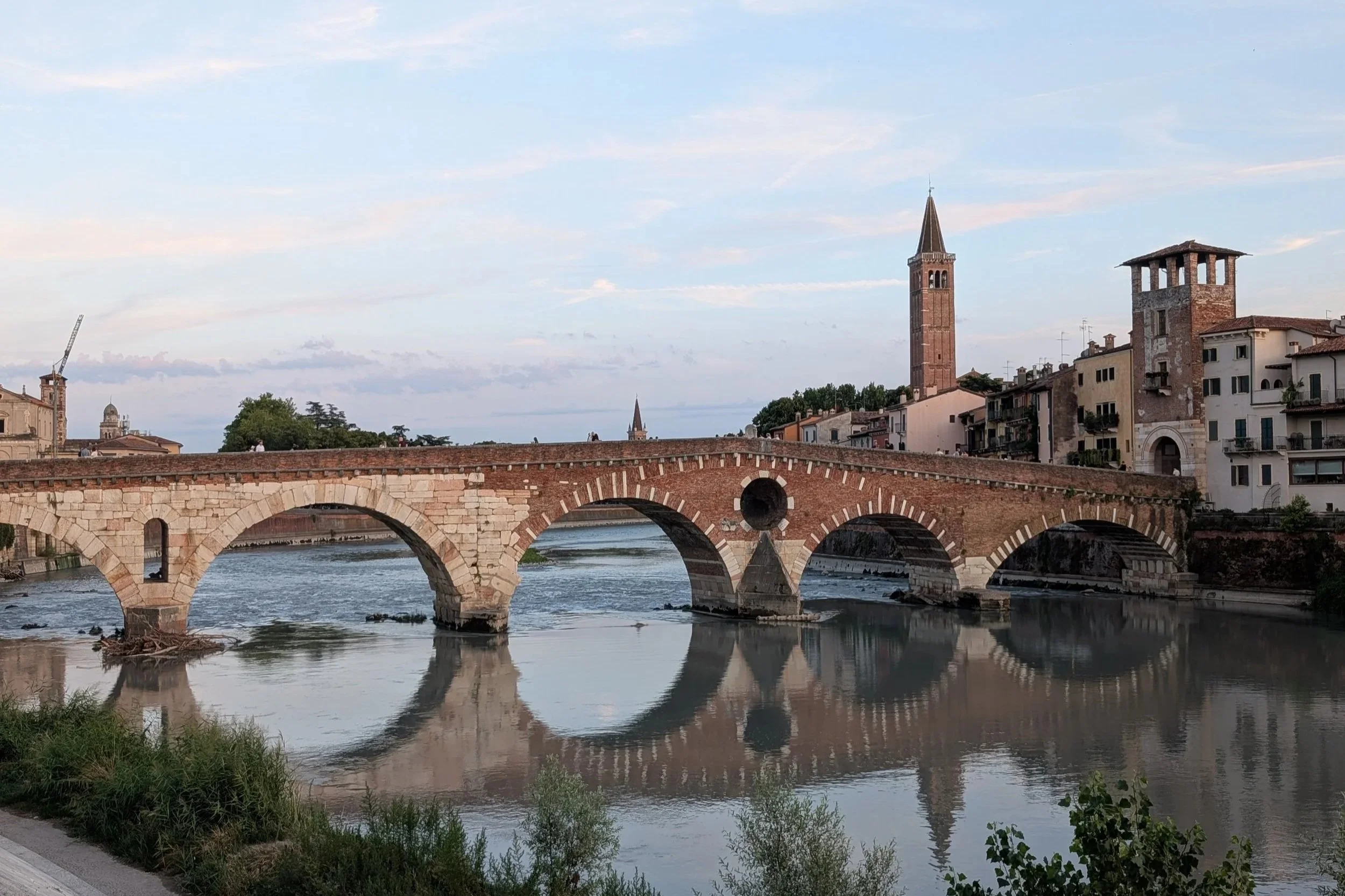
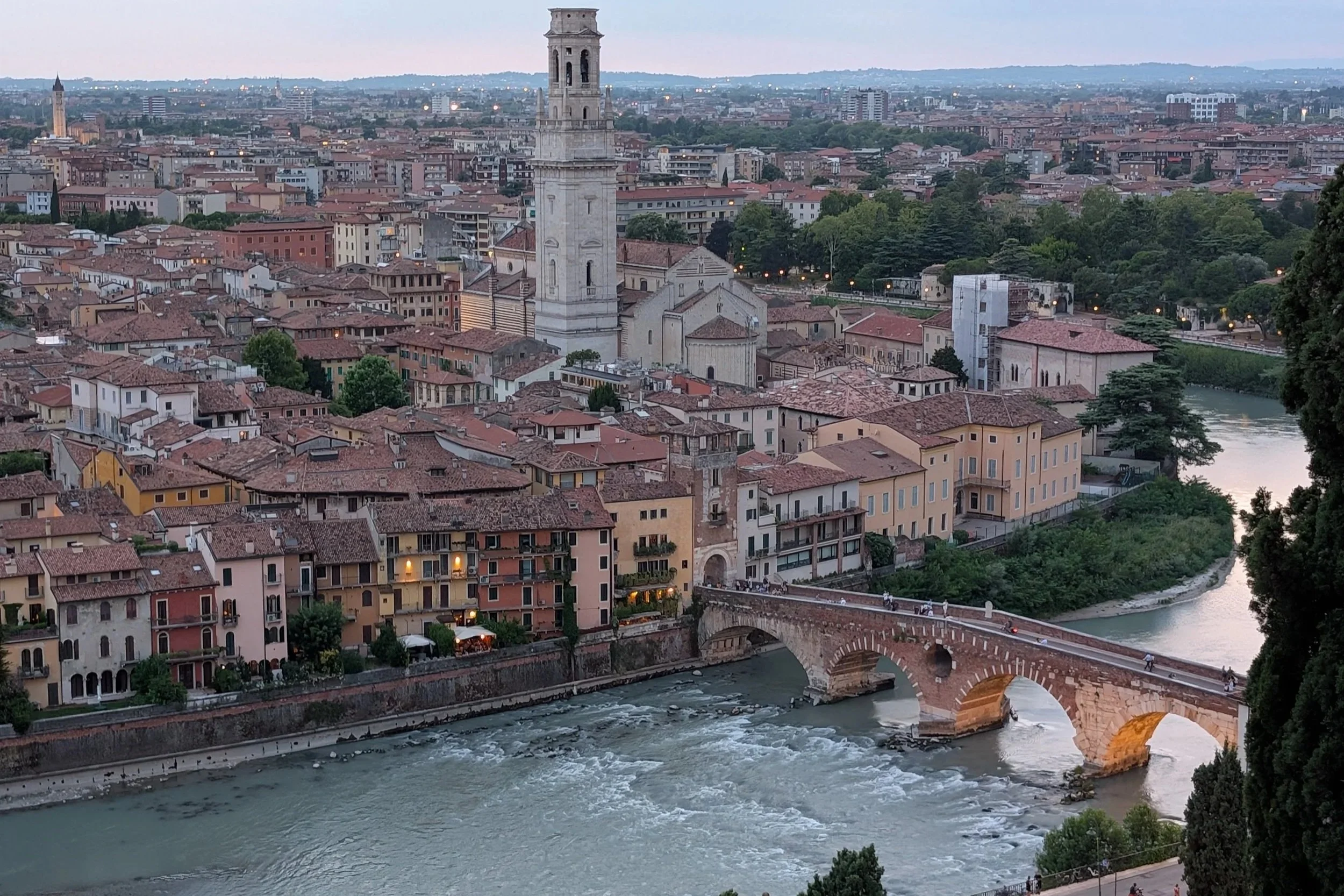
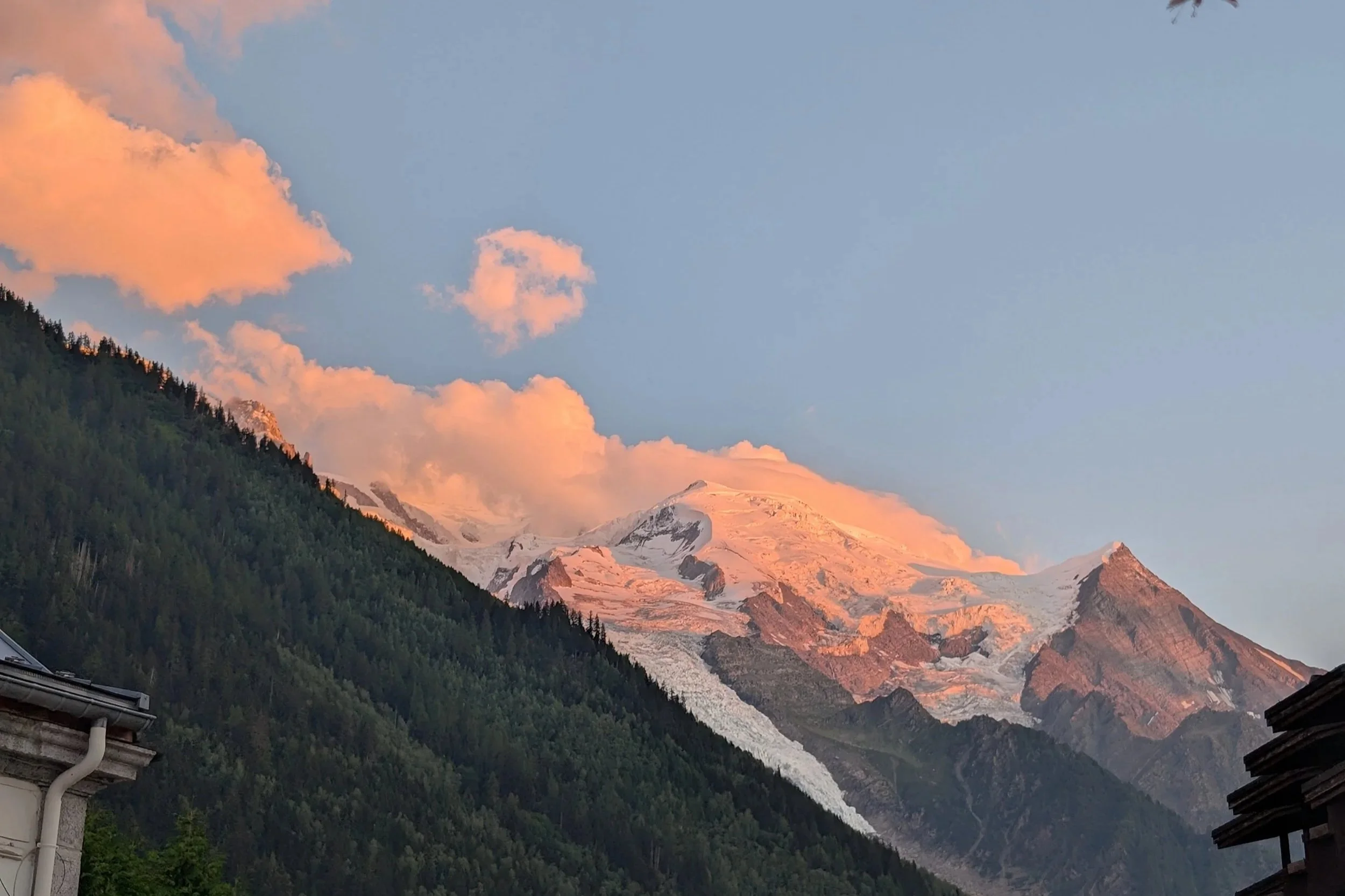
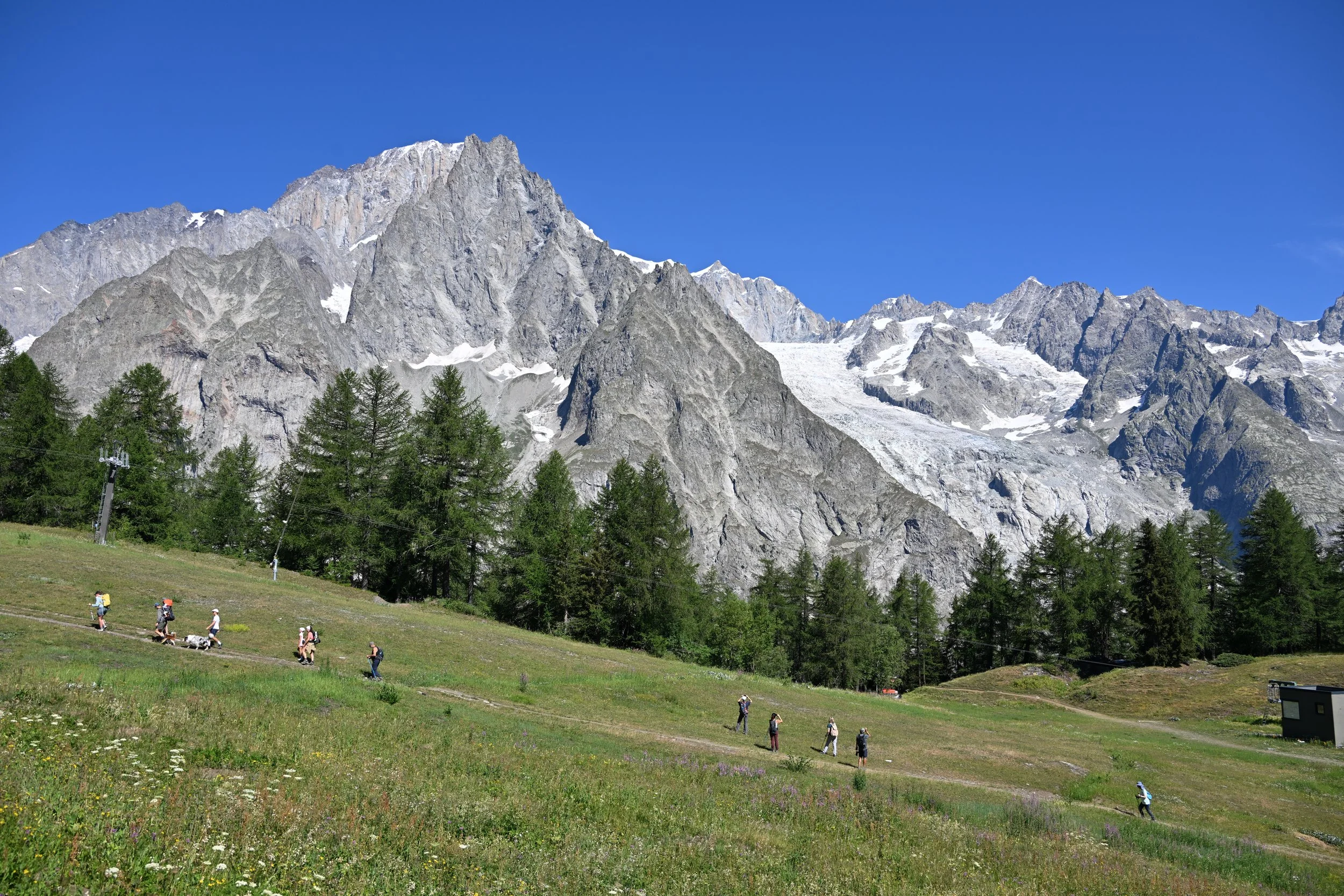
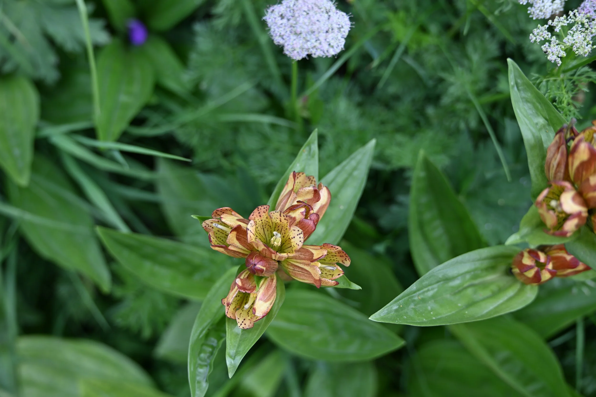
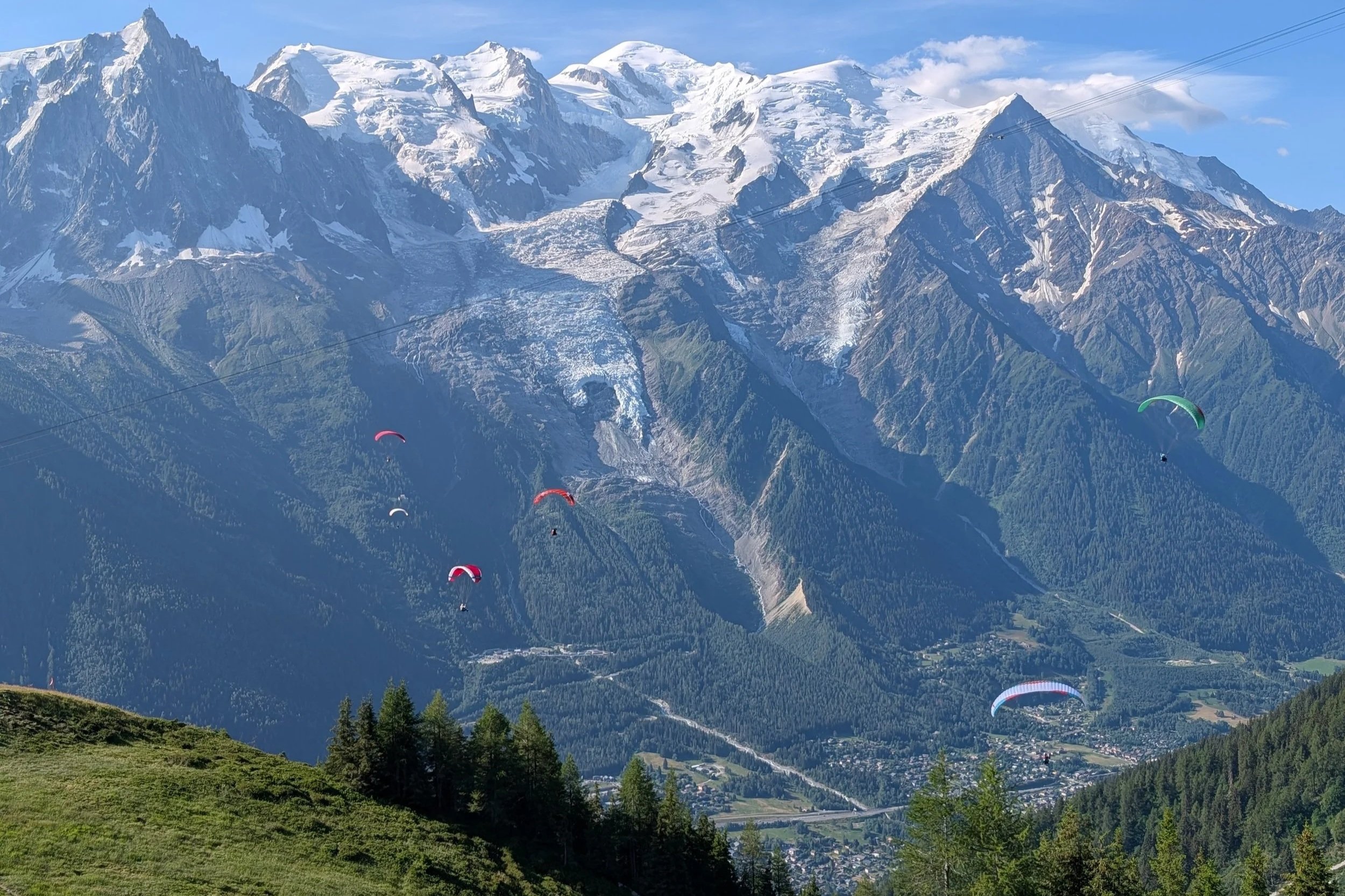
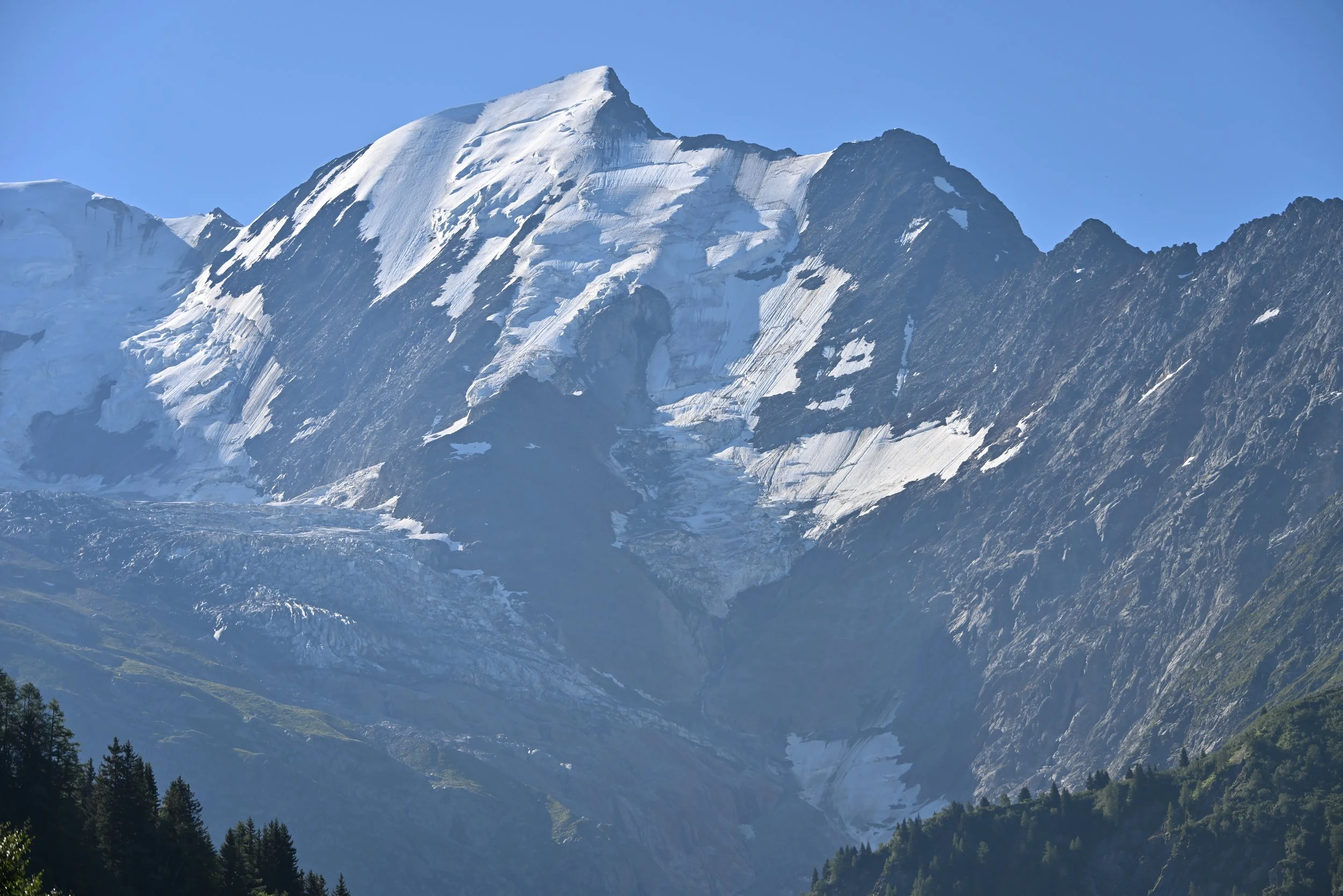
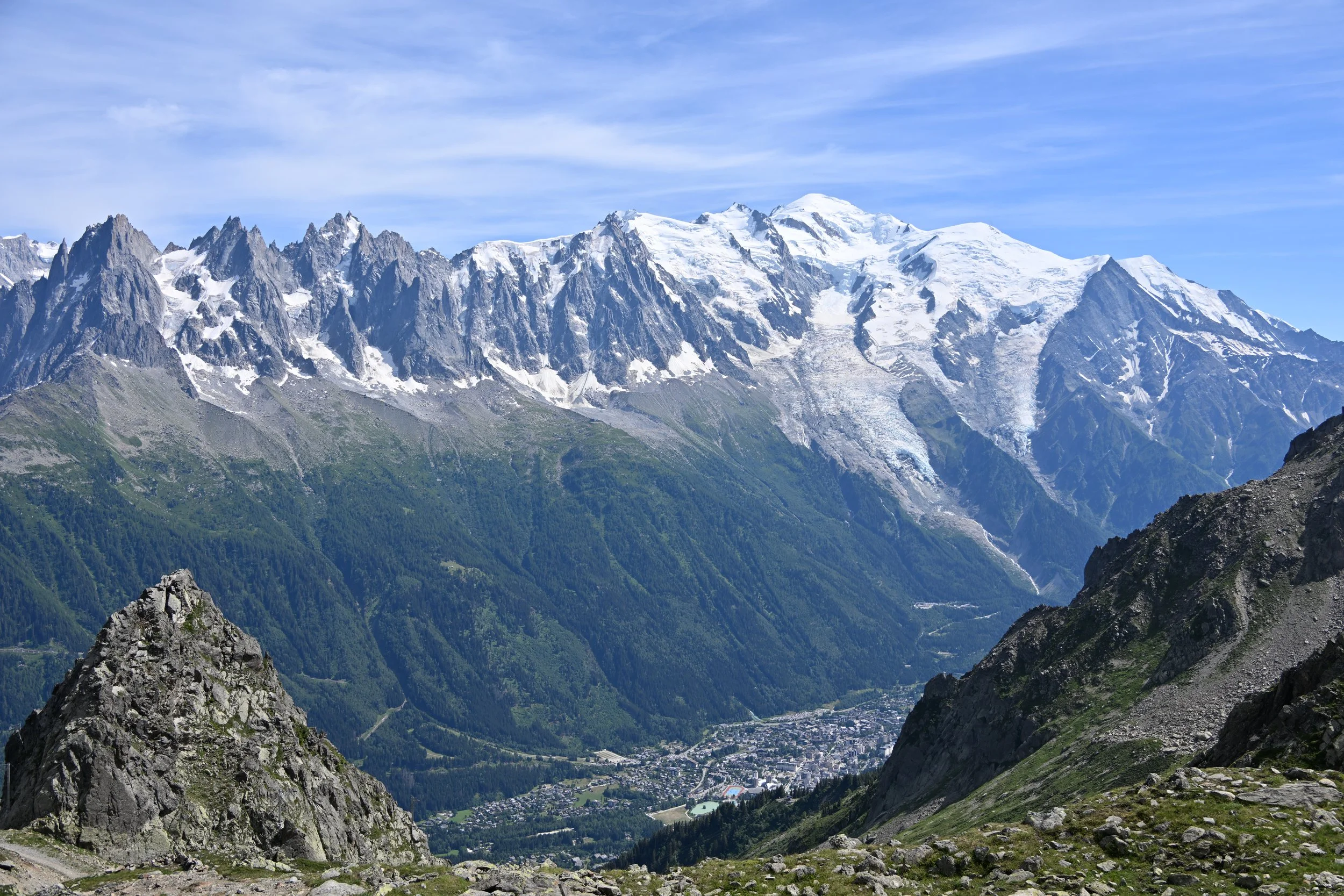
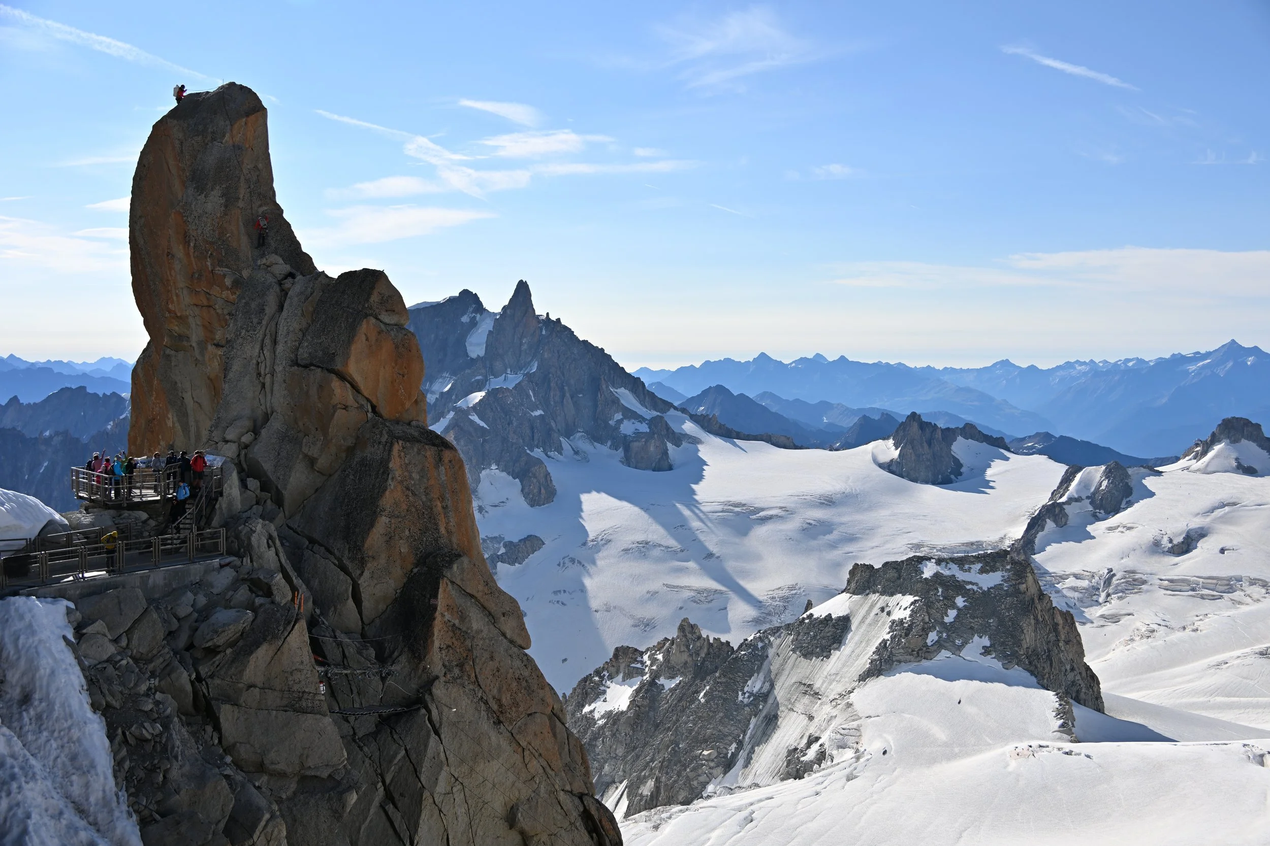
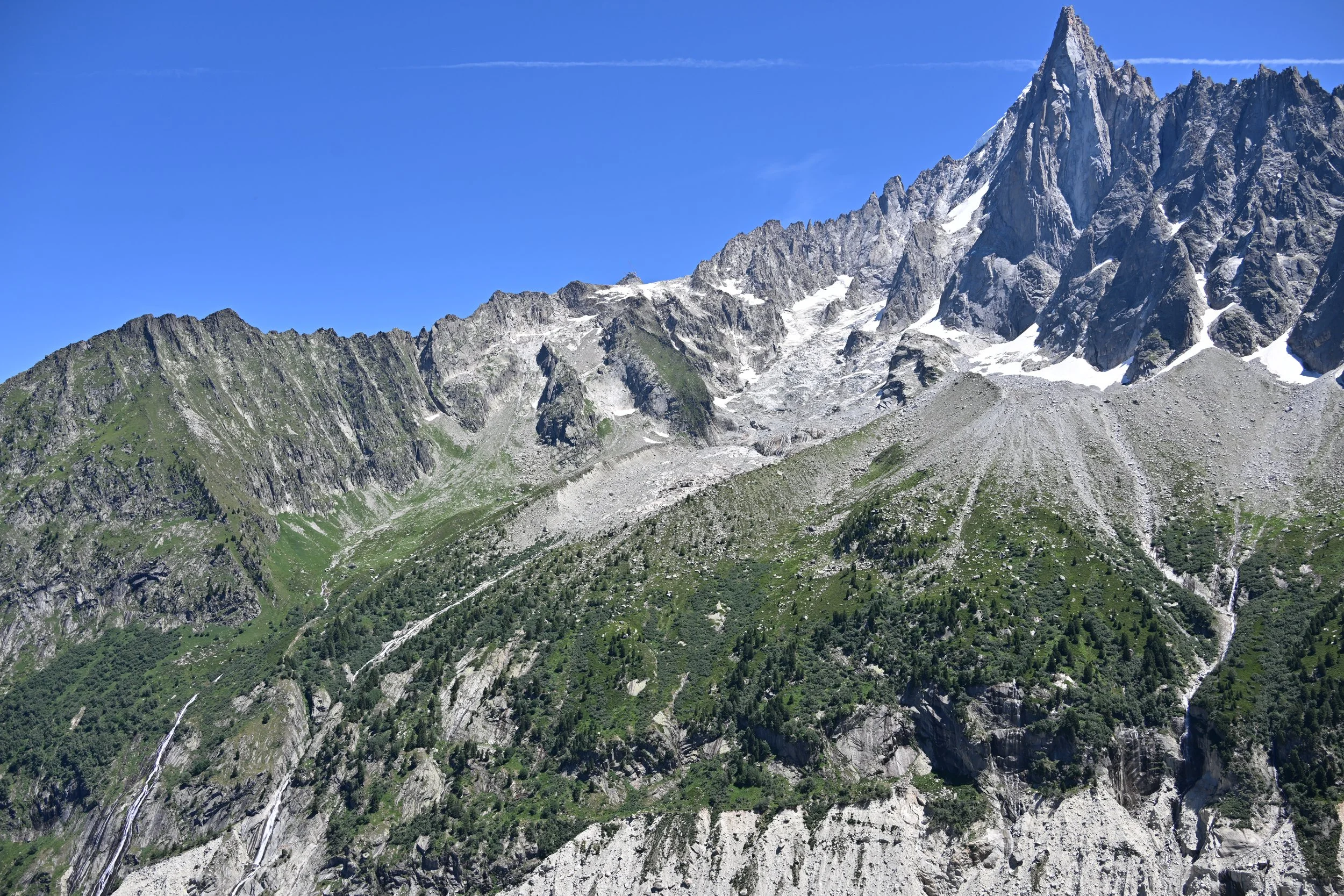
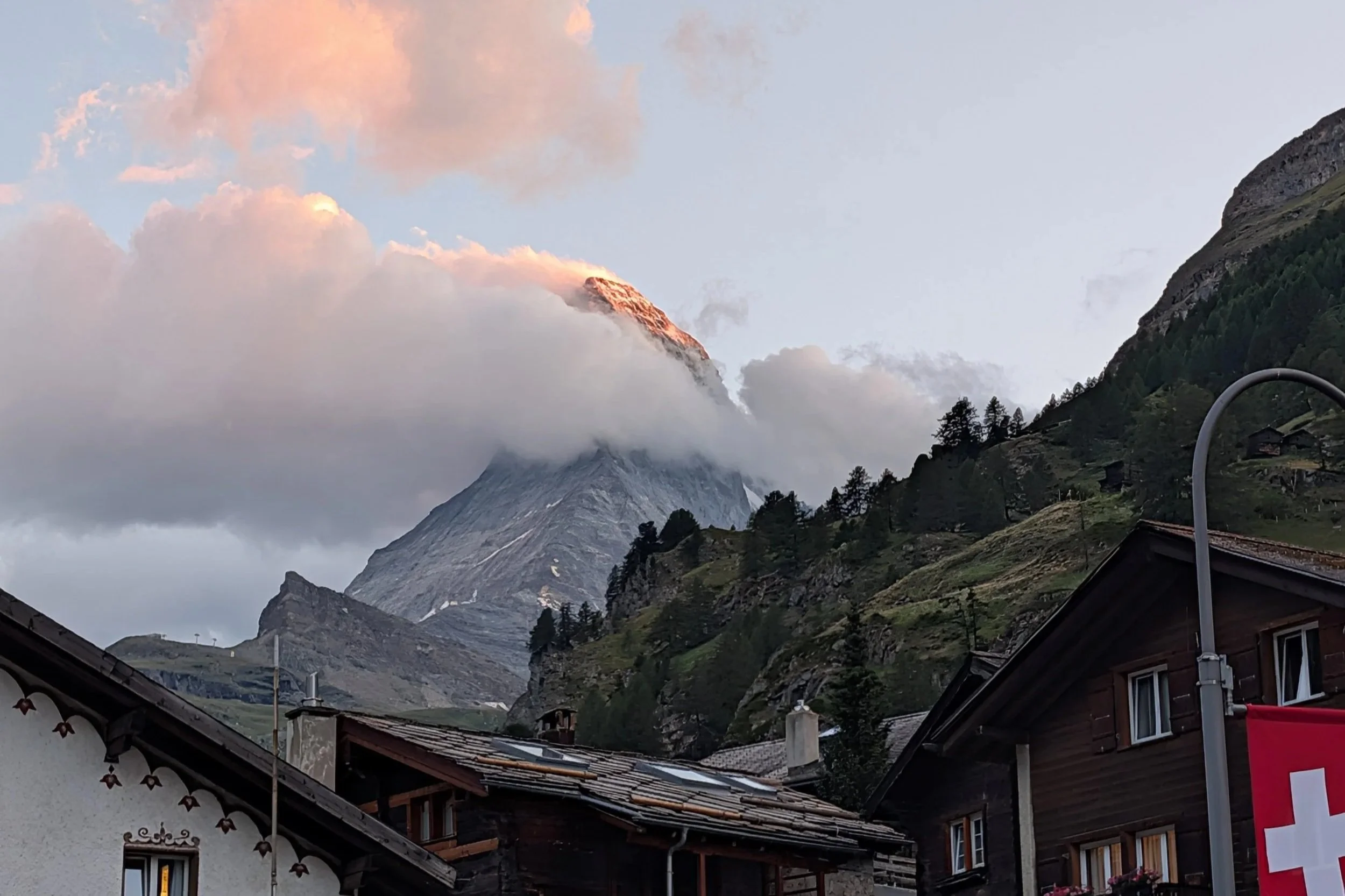
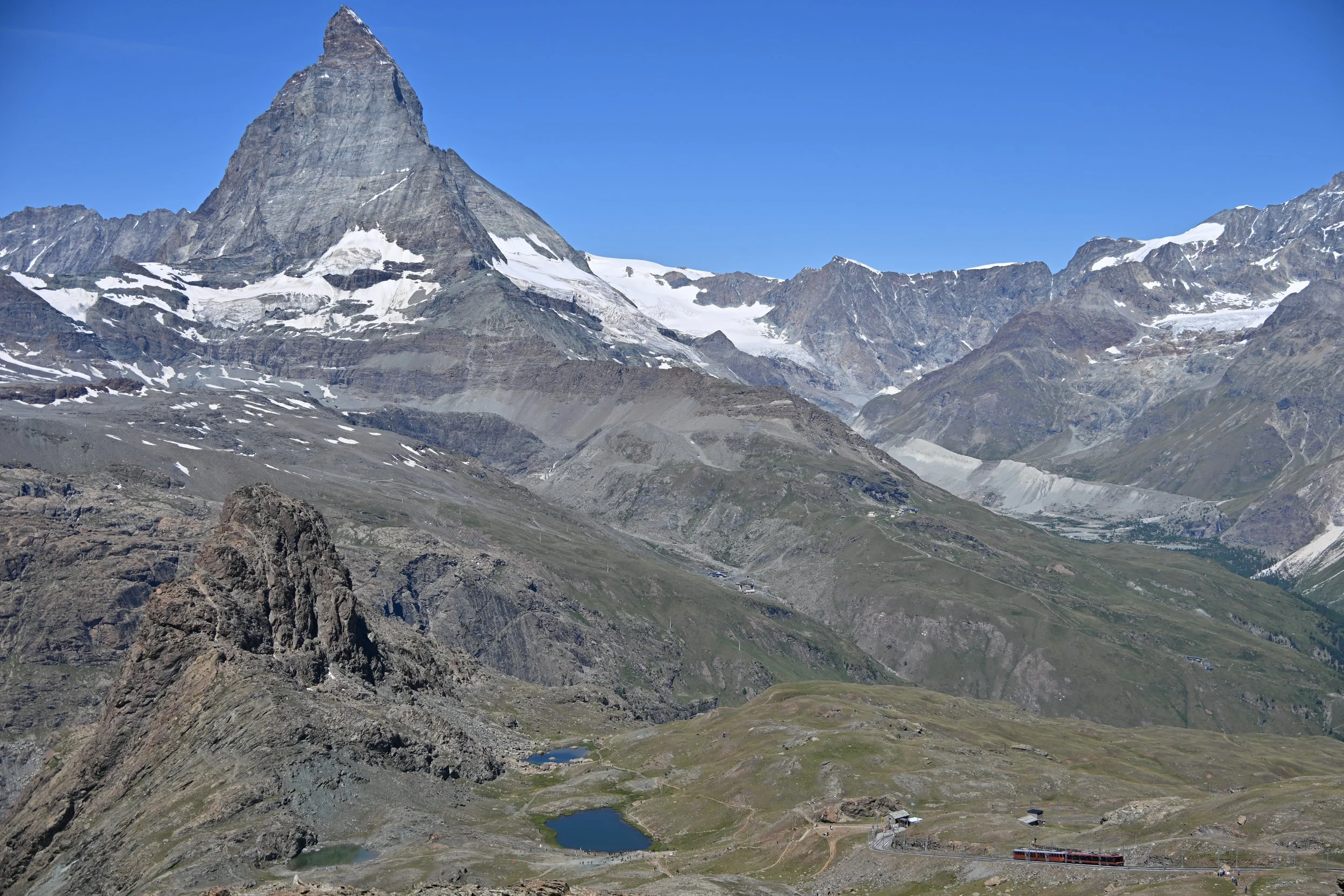
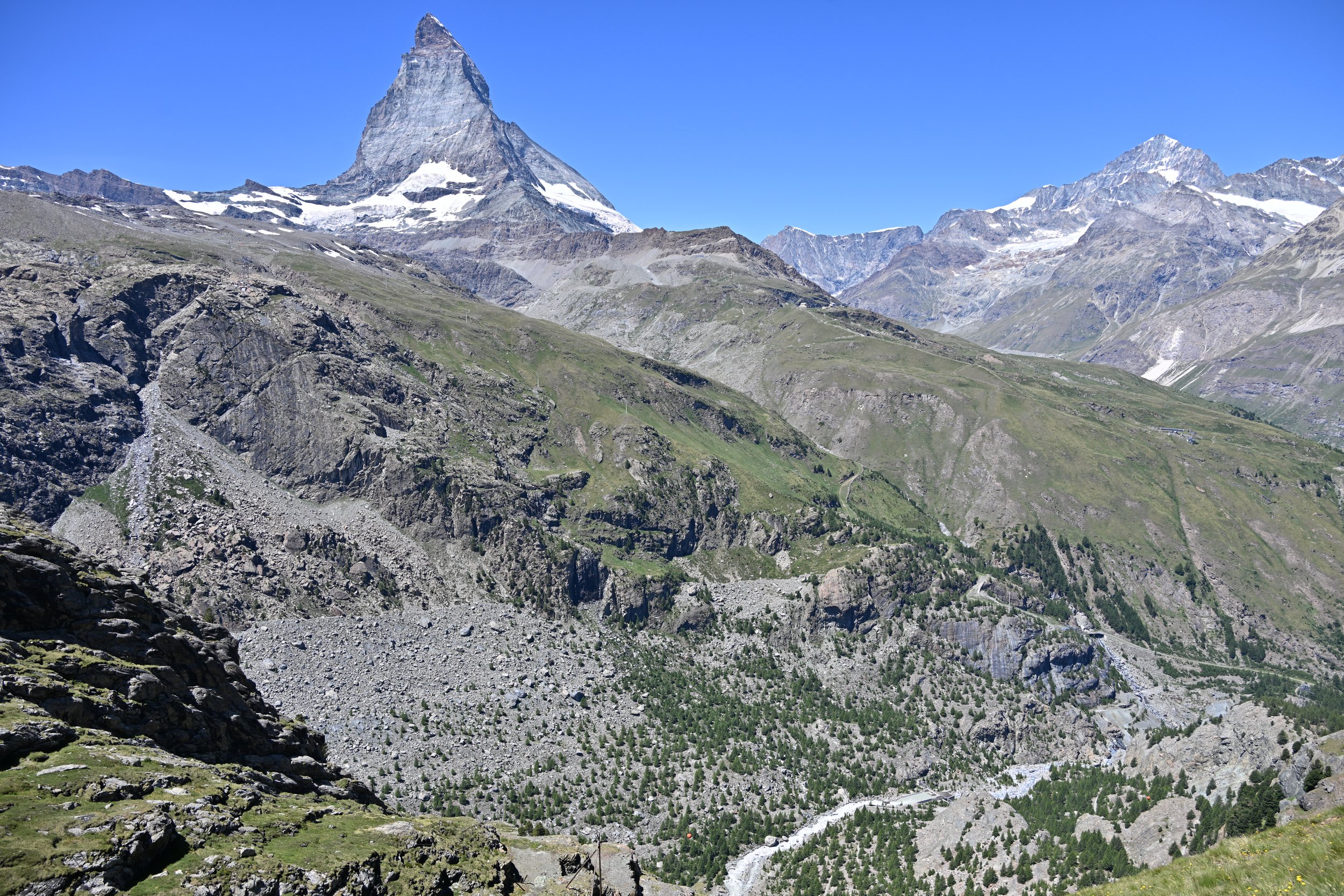
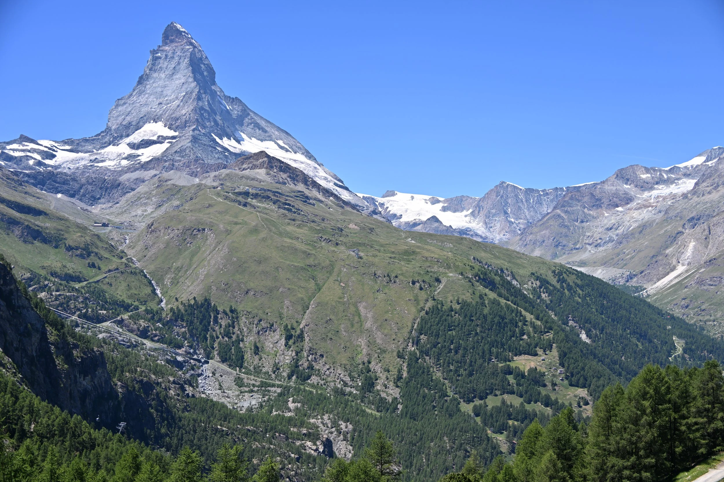
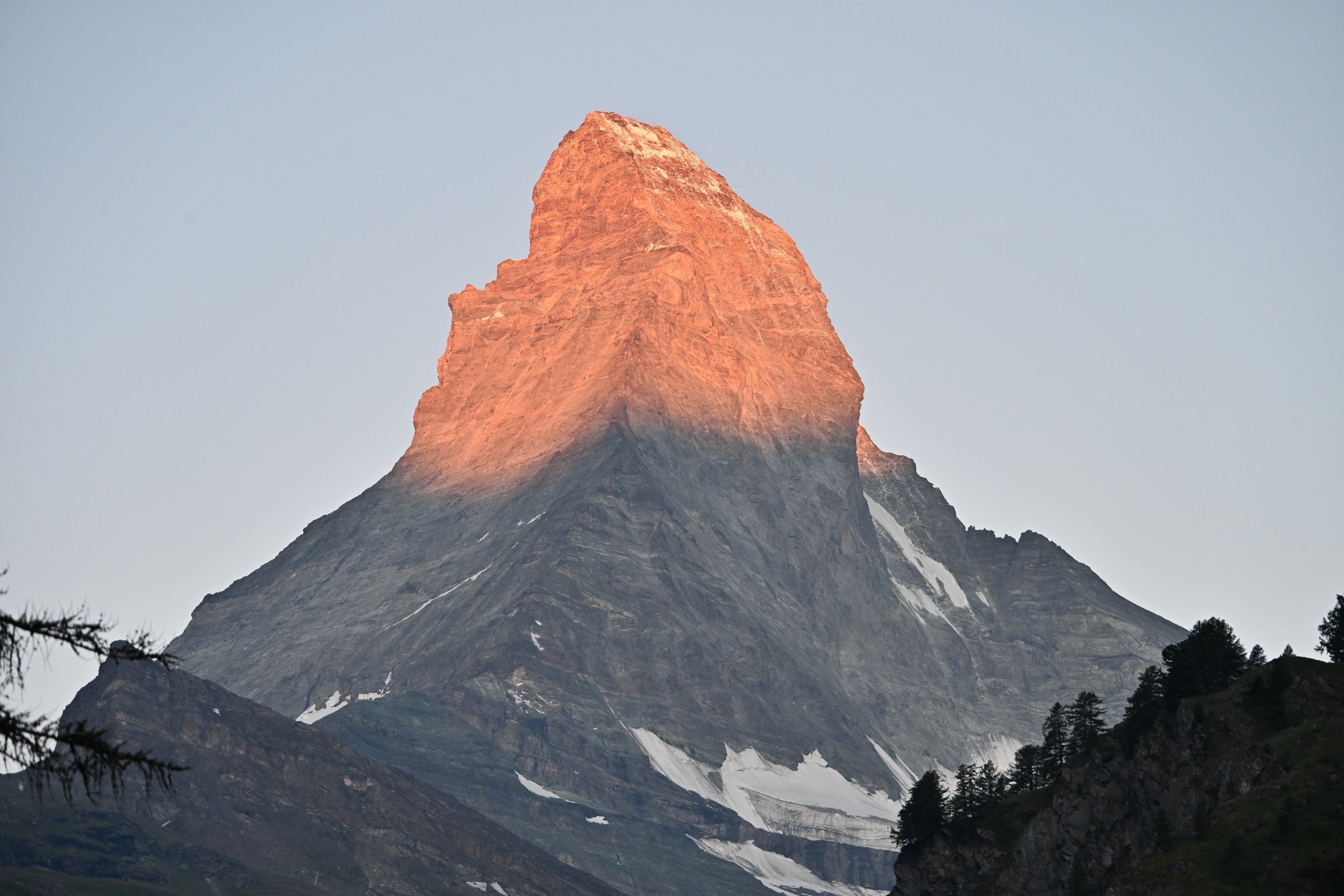
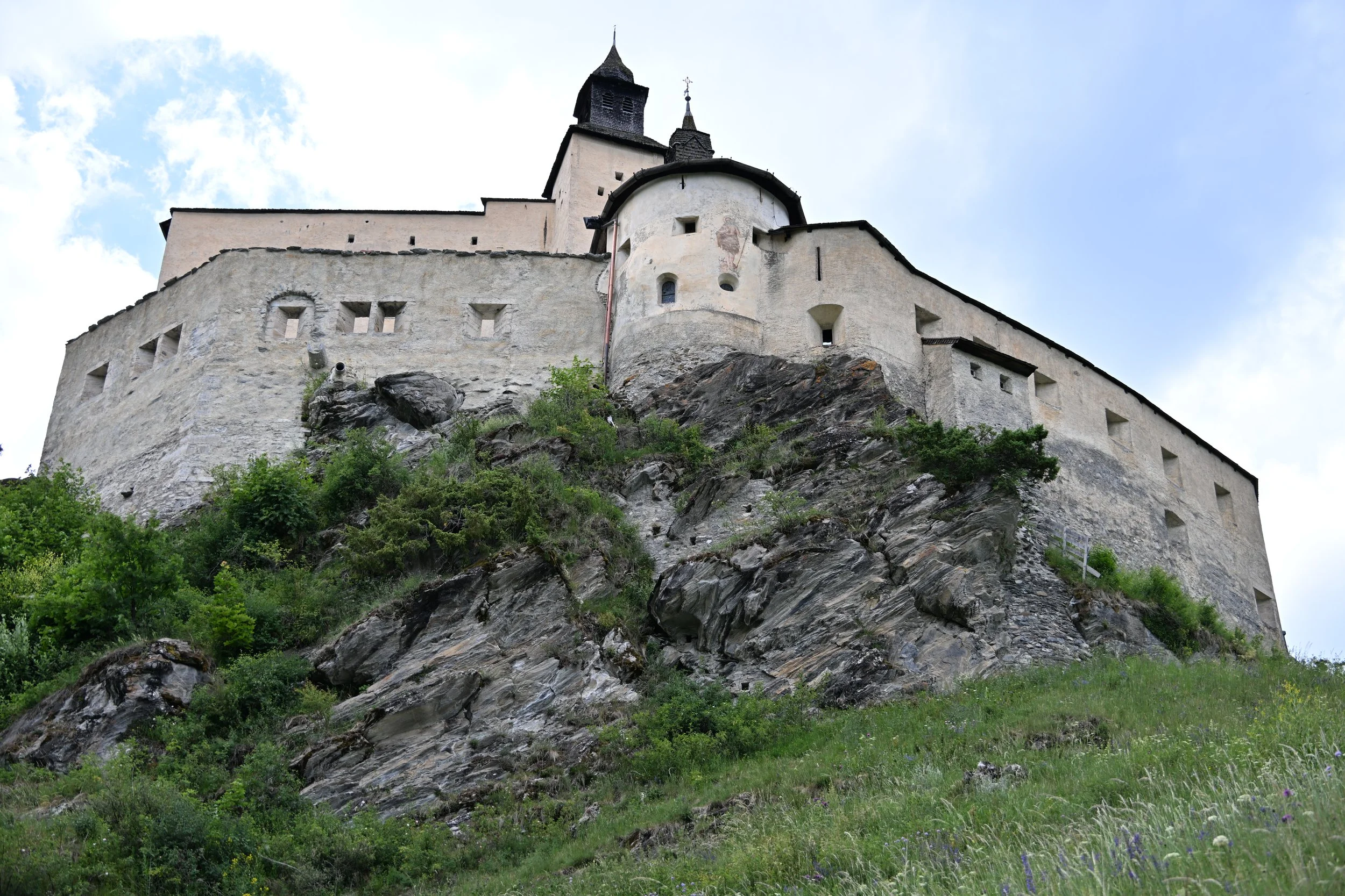
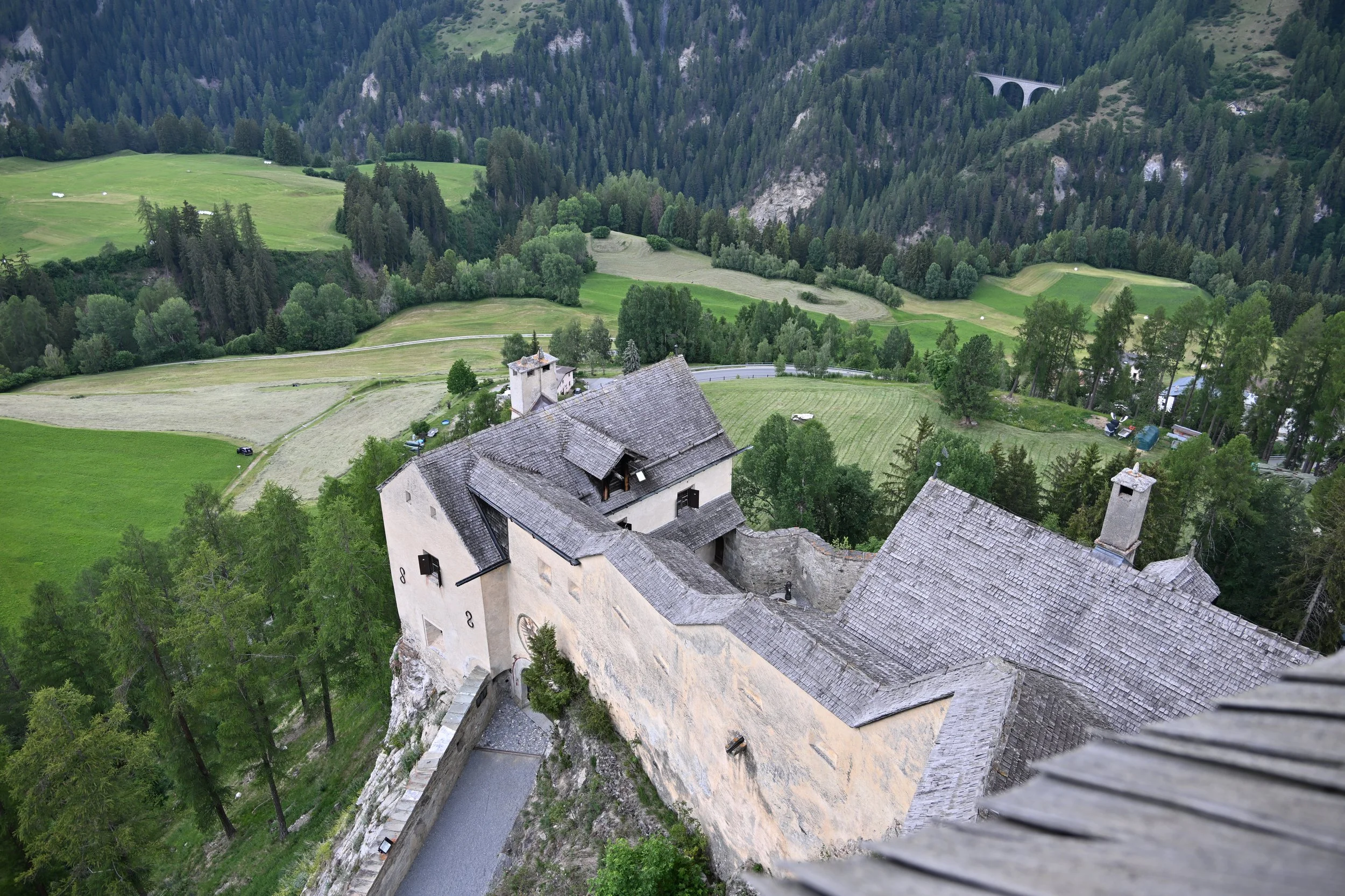
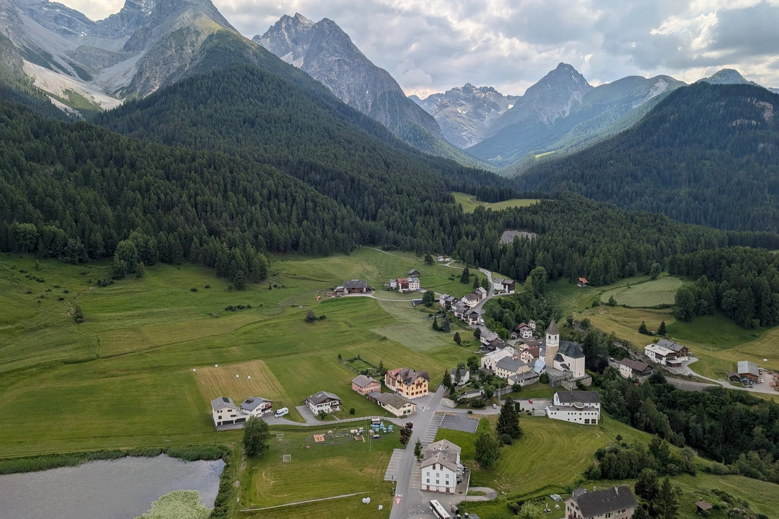
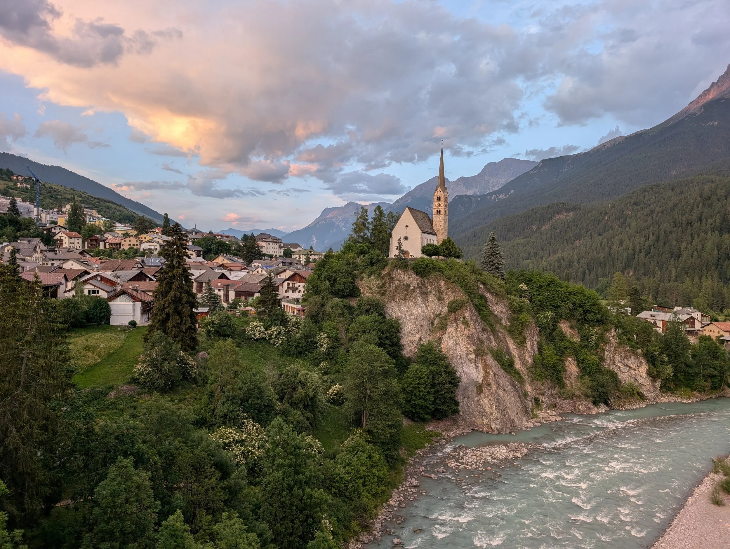
In the Dolomites (Italy)
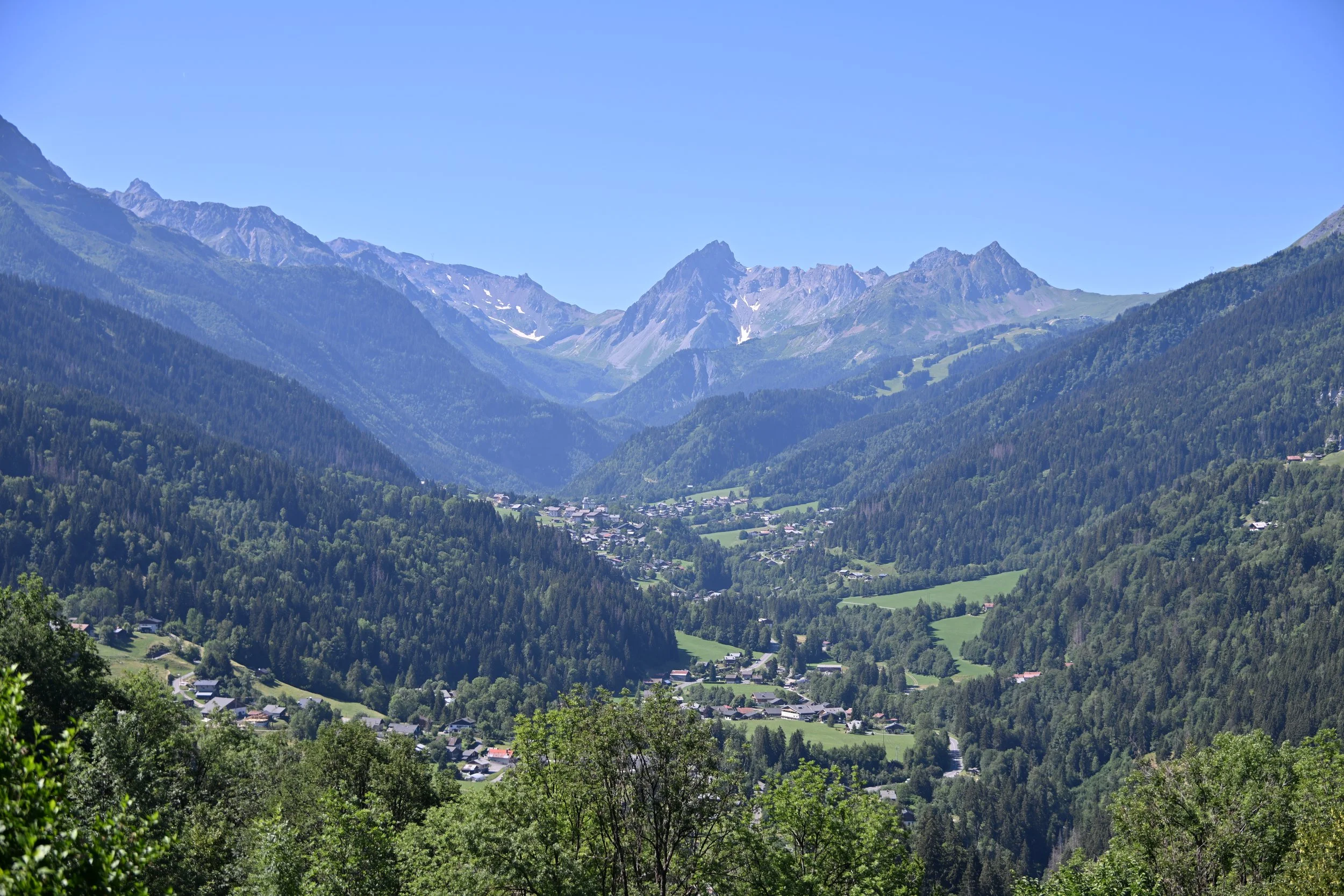
We spent 5 nights in San Vito di Cadore, a small village just south of Cortina d'Ampezzo (where the 2026 Winter Olympics were held). We were positioned here to be able to access hiking in the Dolomites.
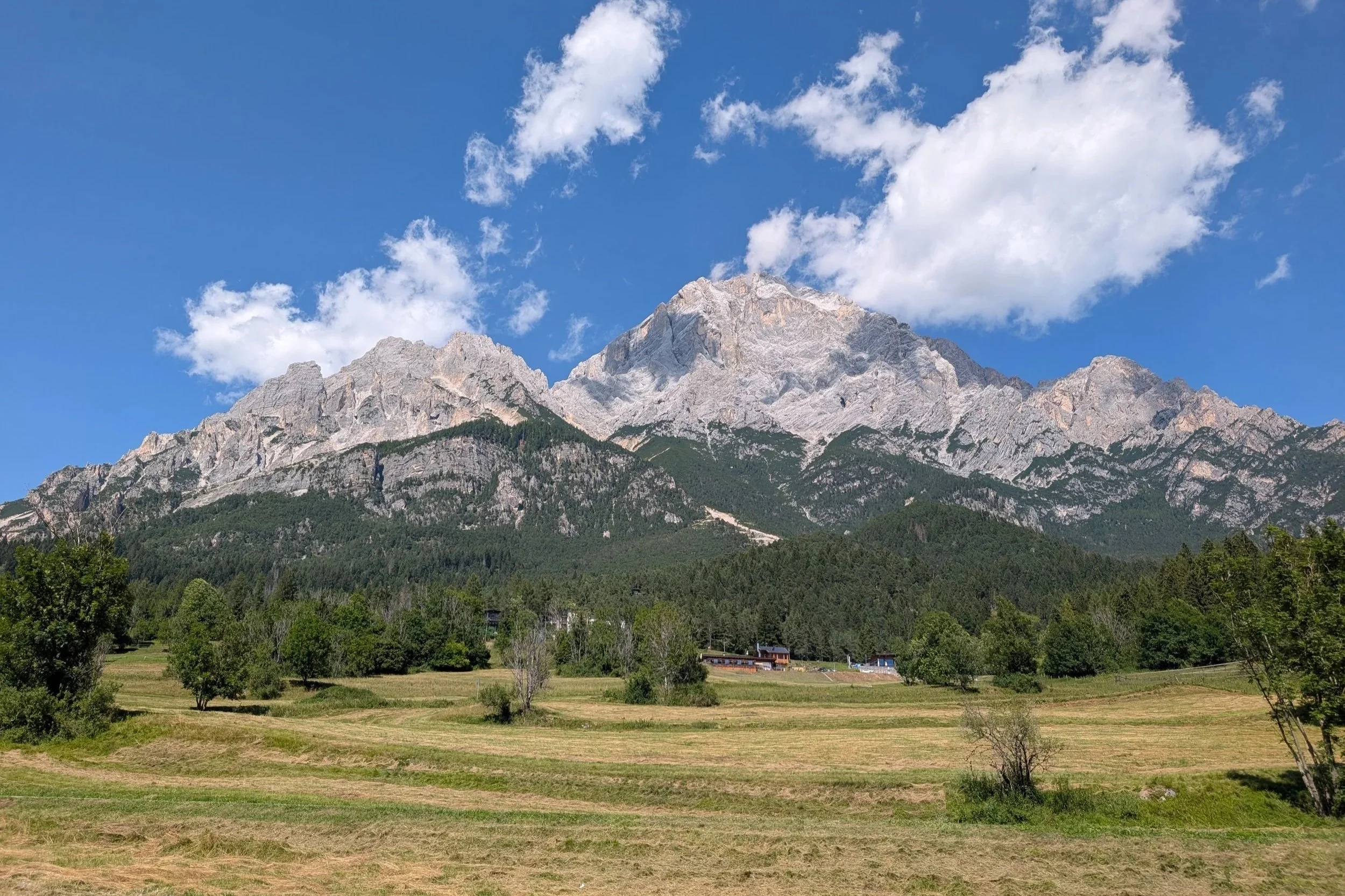
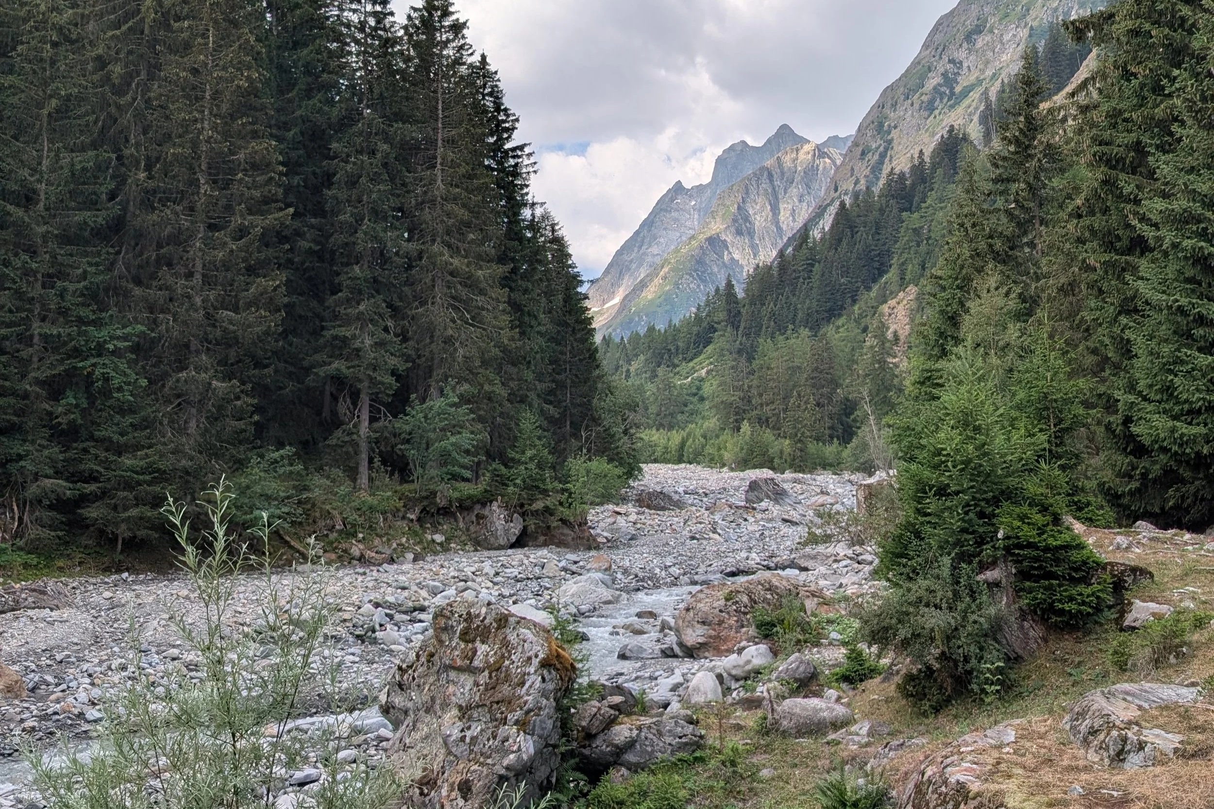
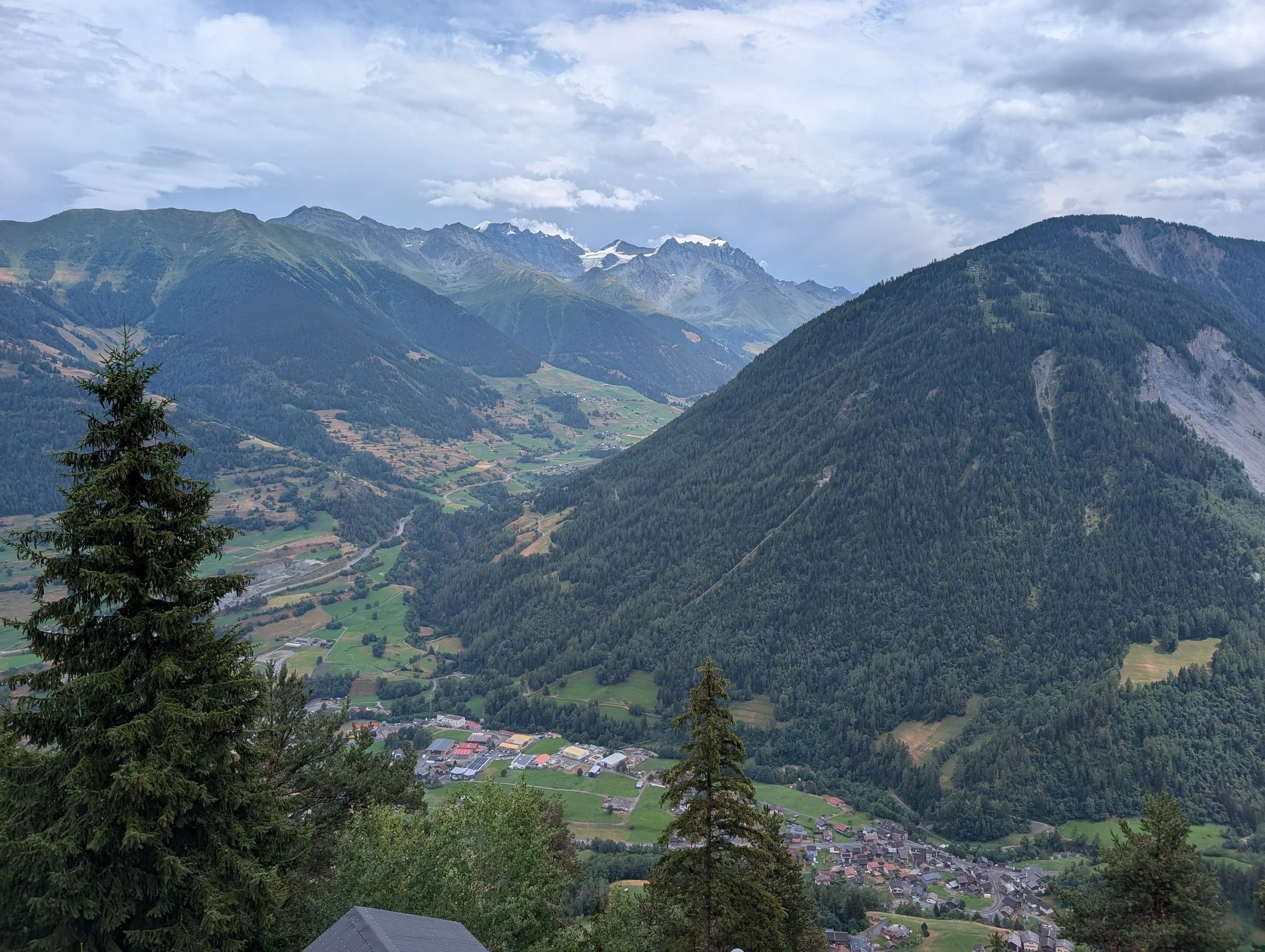
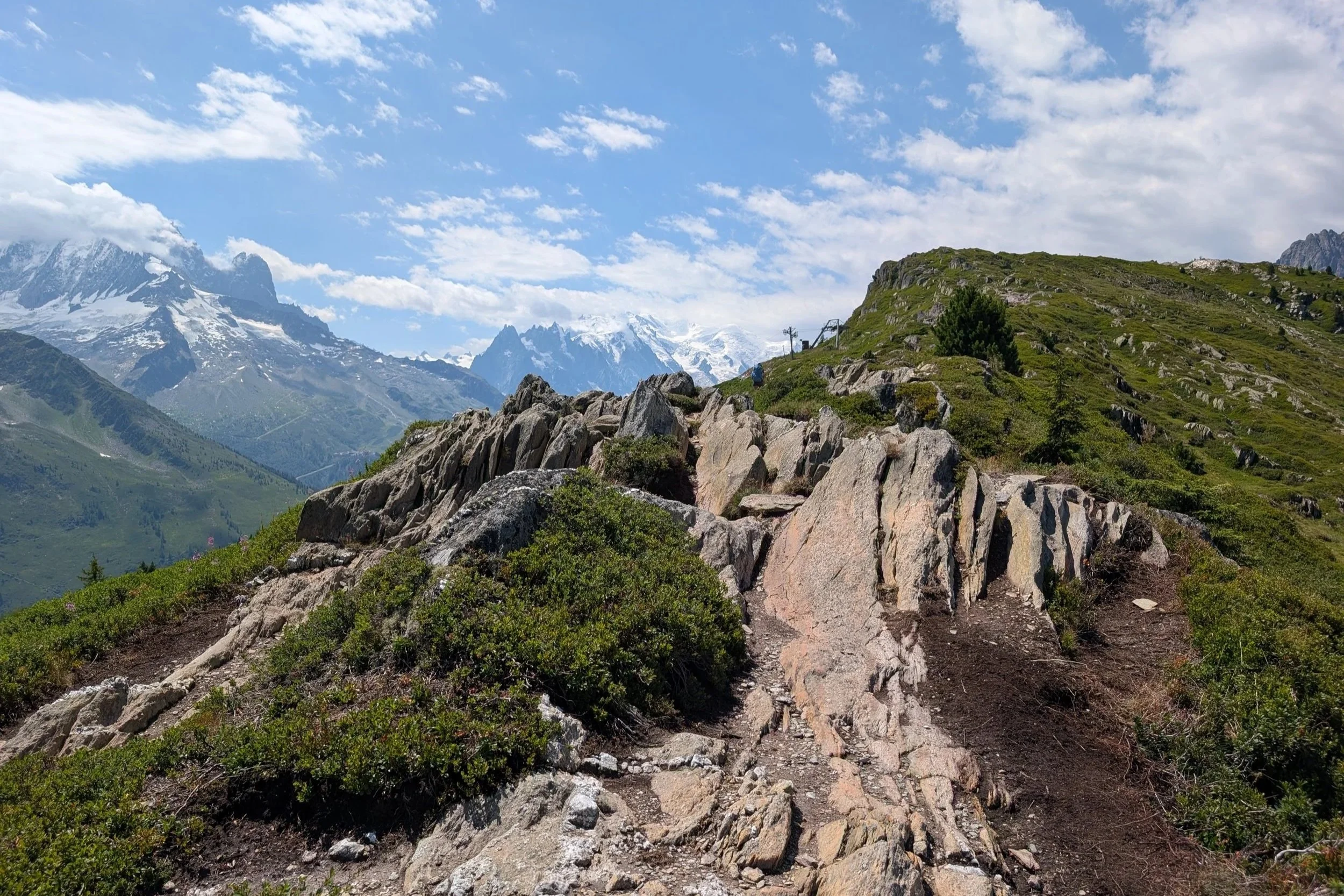
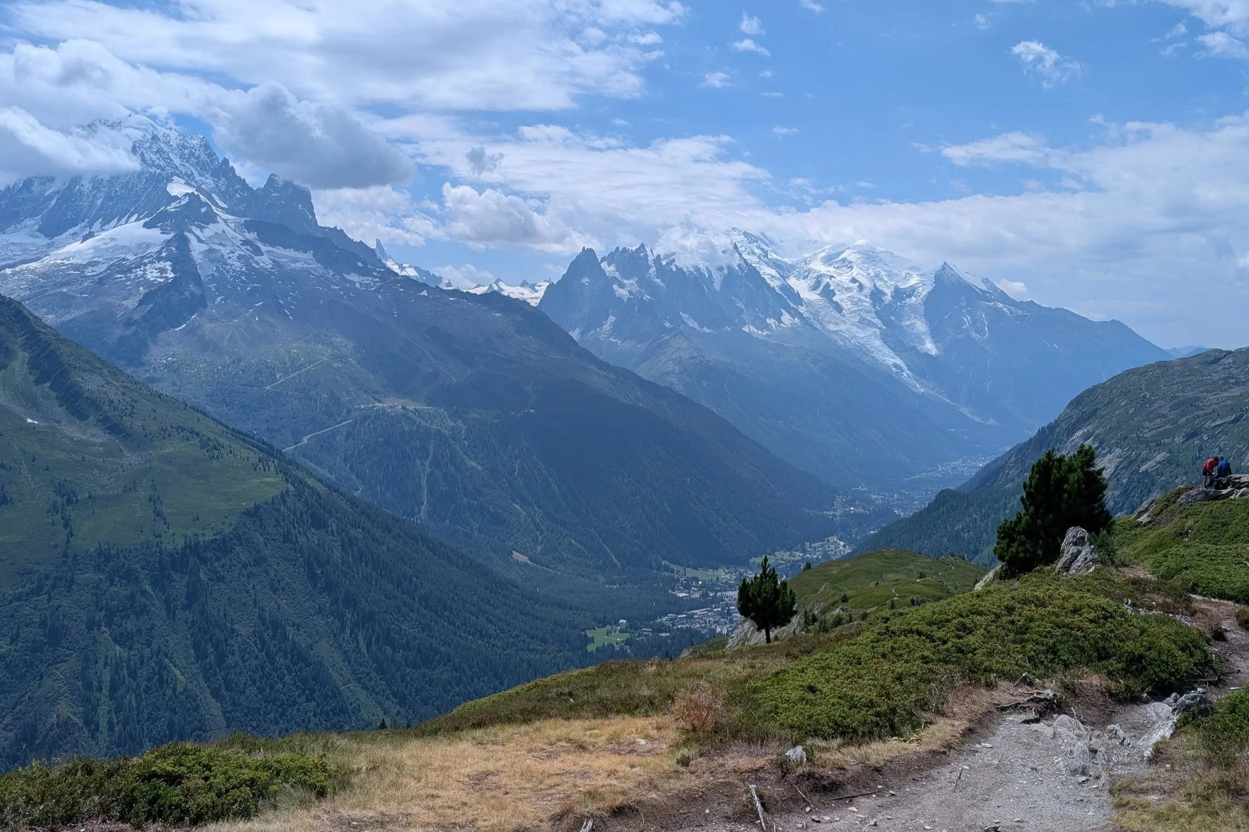
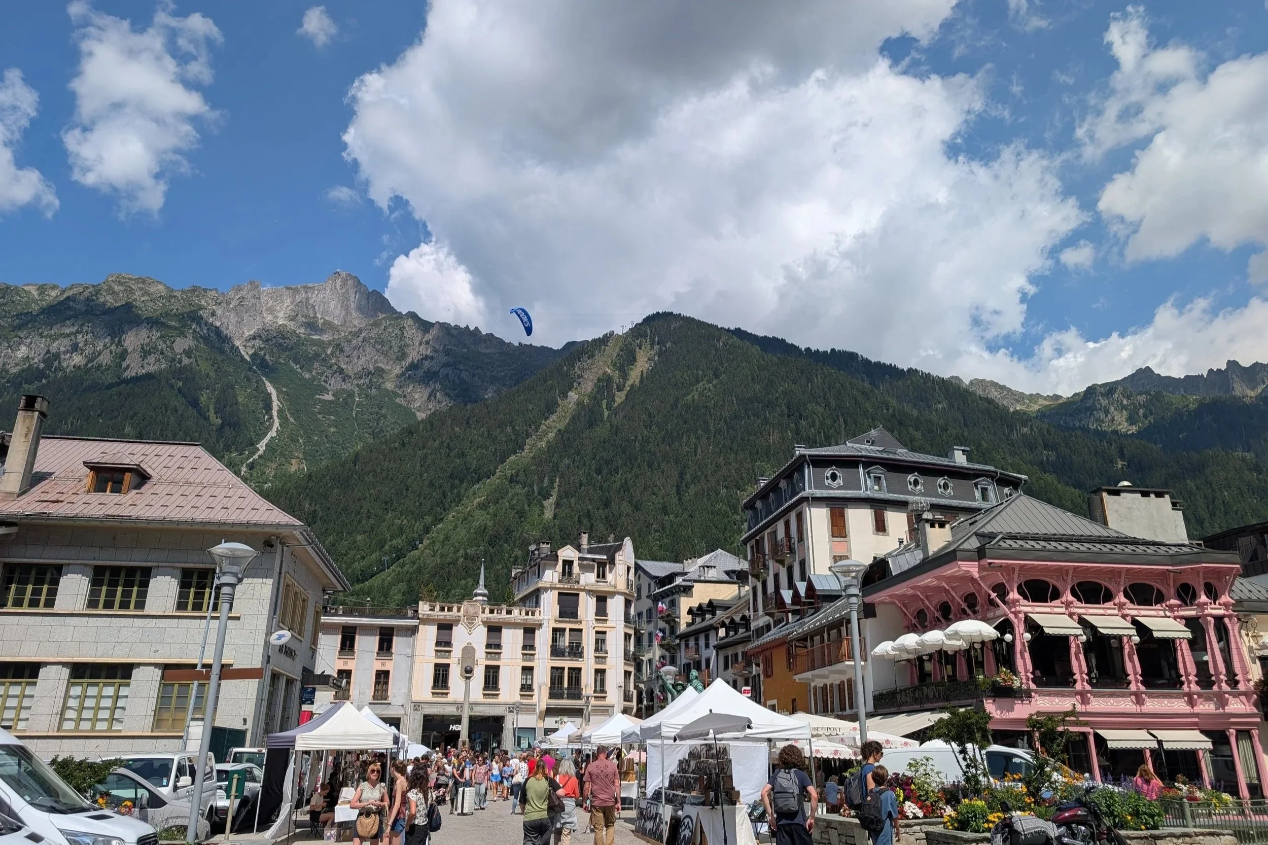
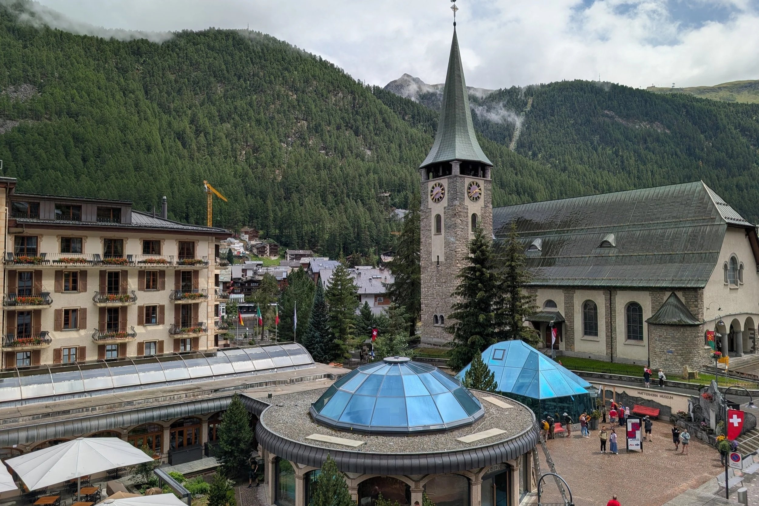
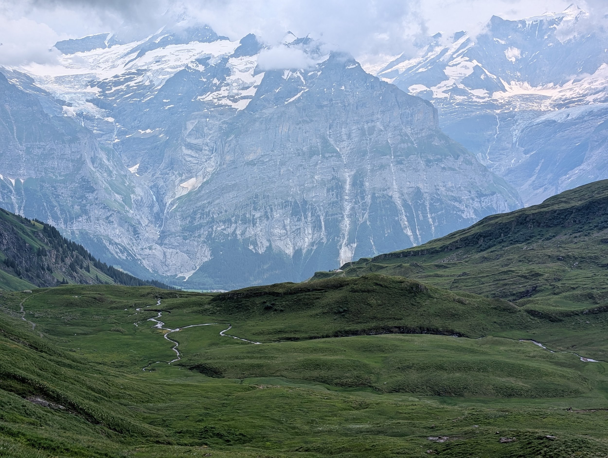
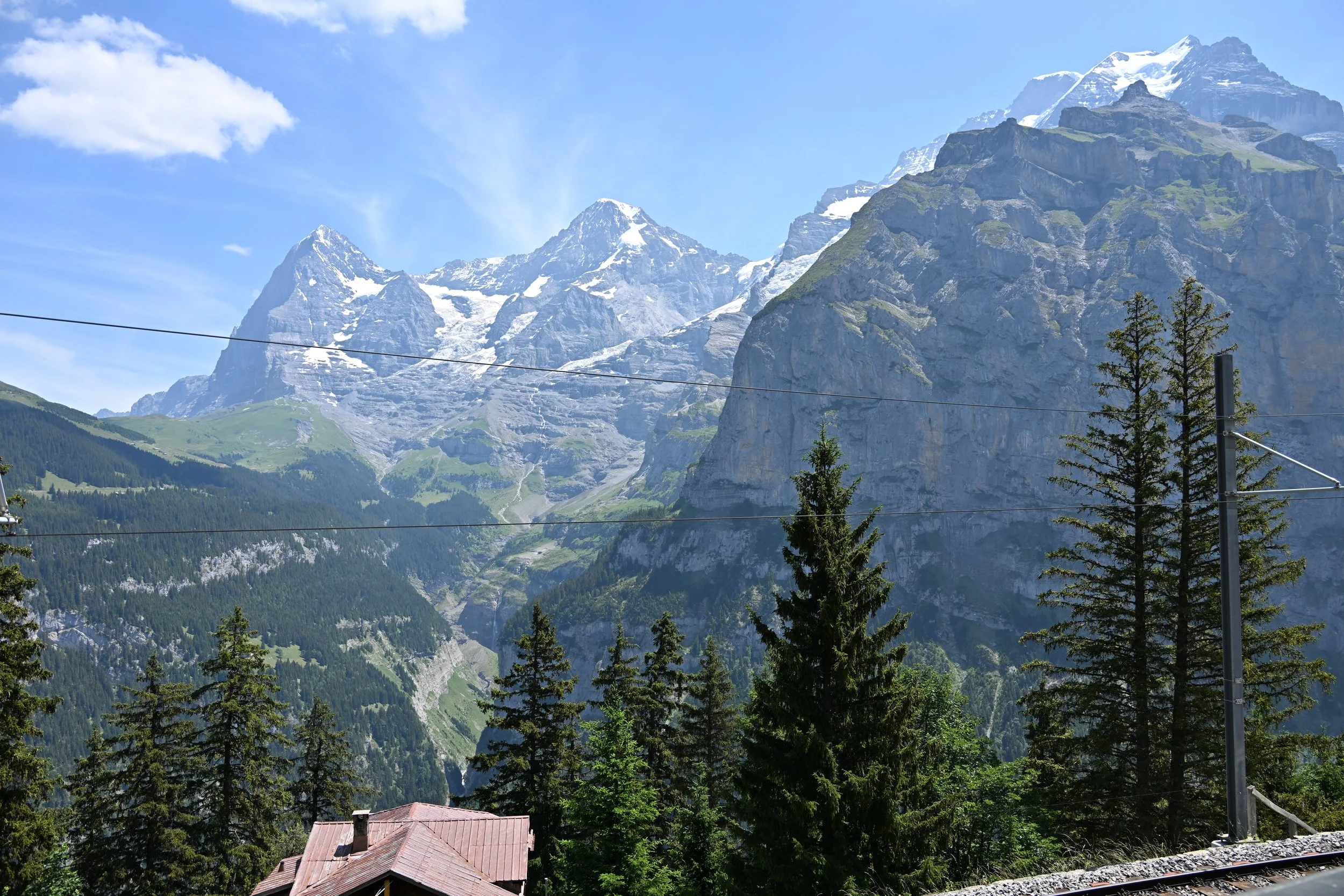
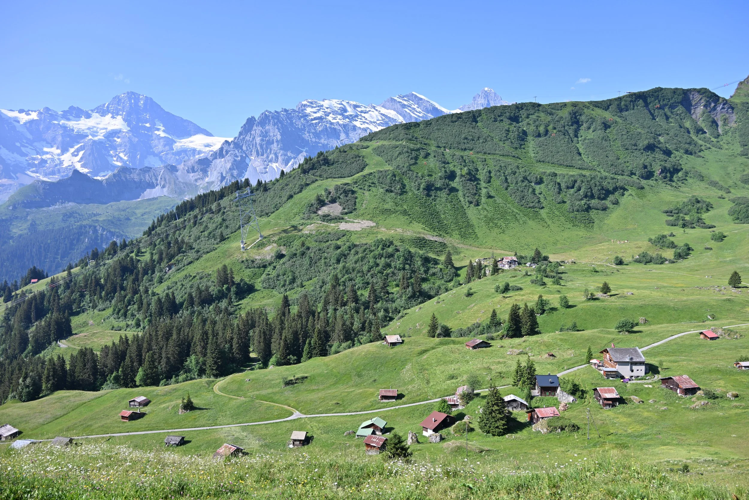
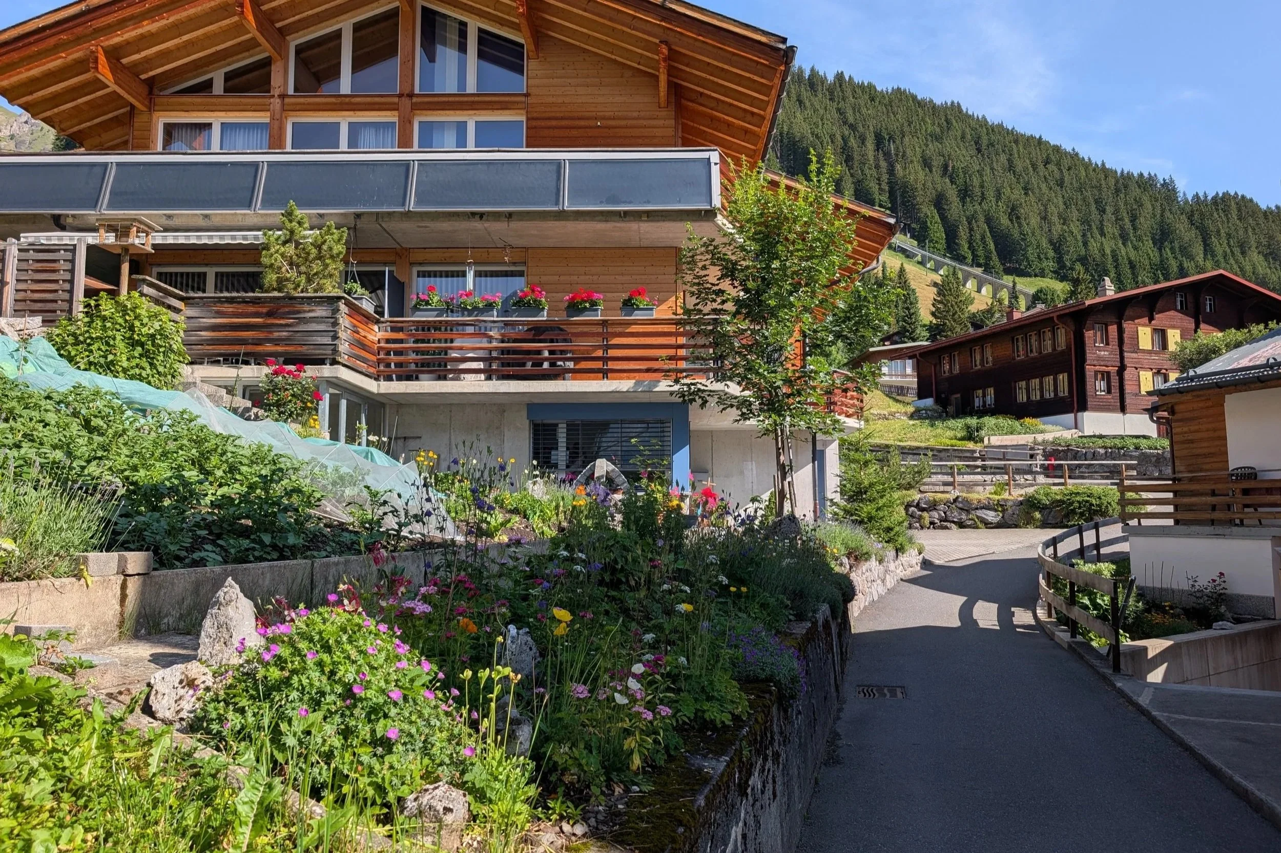
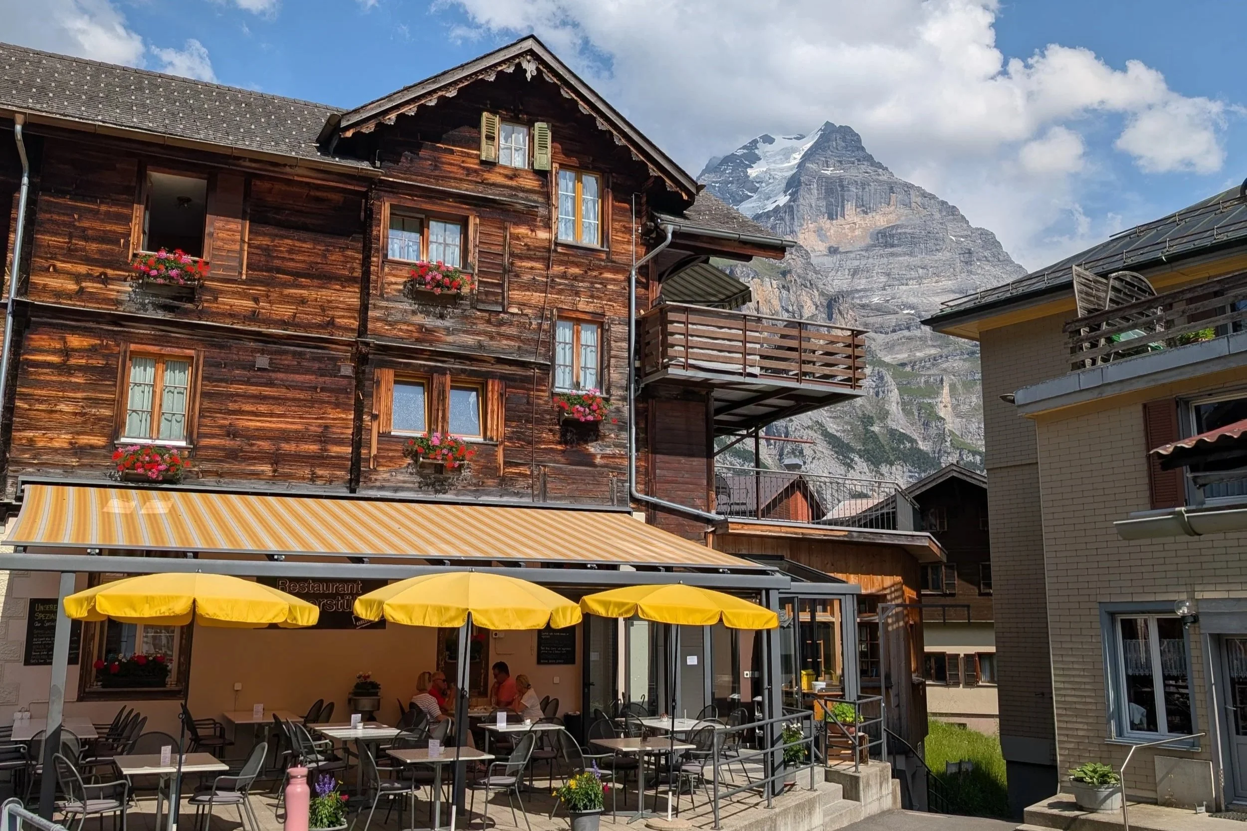
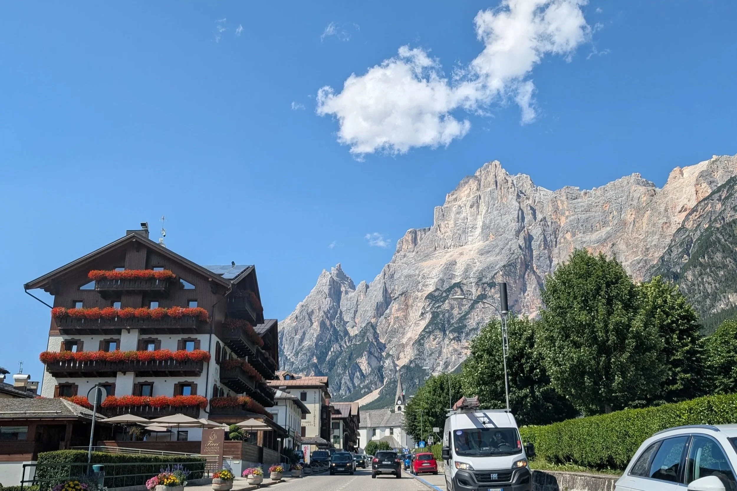
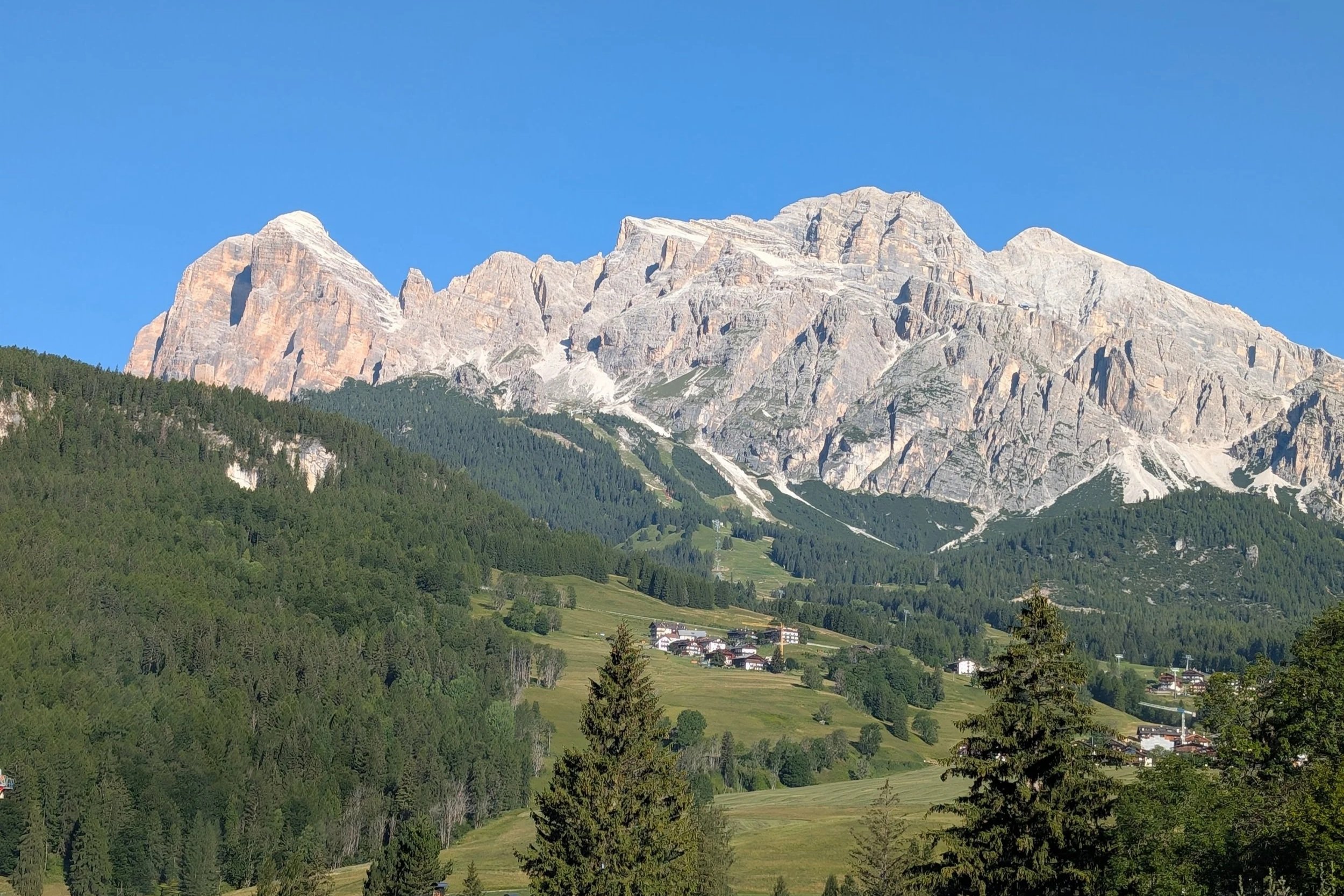
The mountains were quite close to the towns!
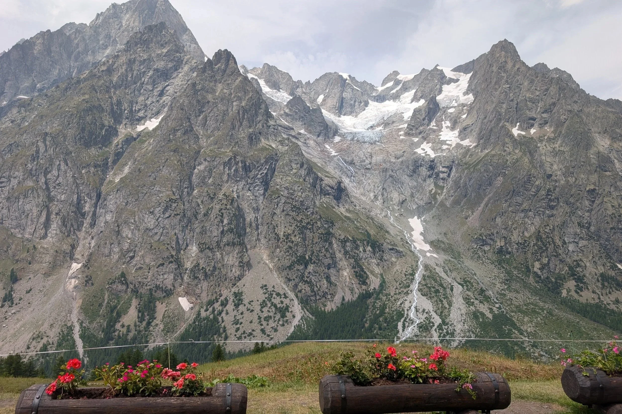
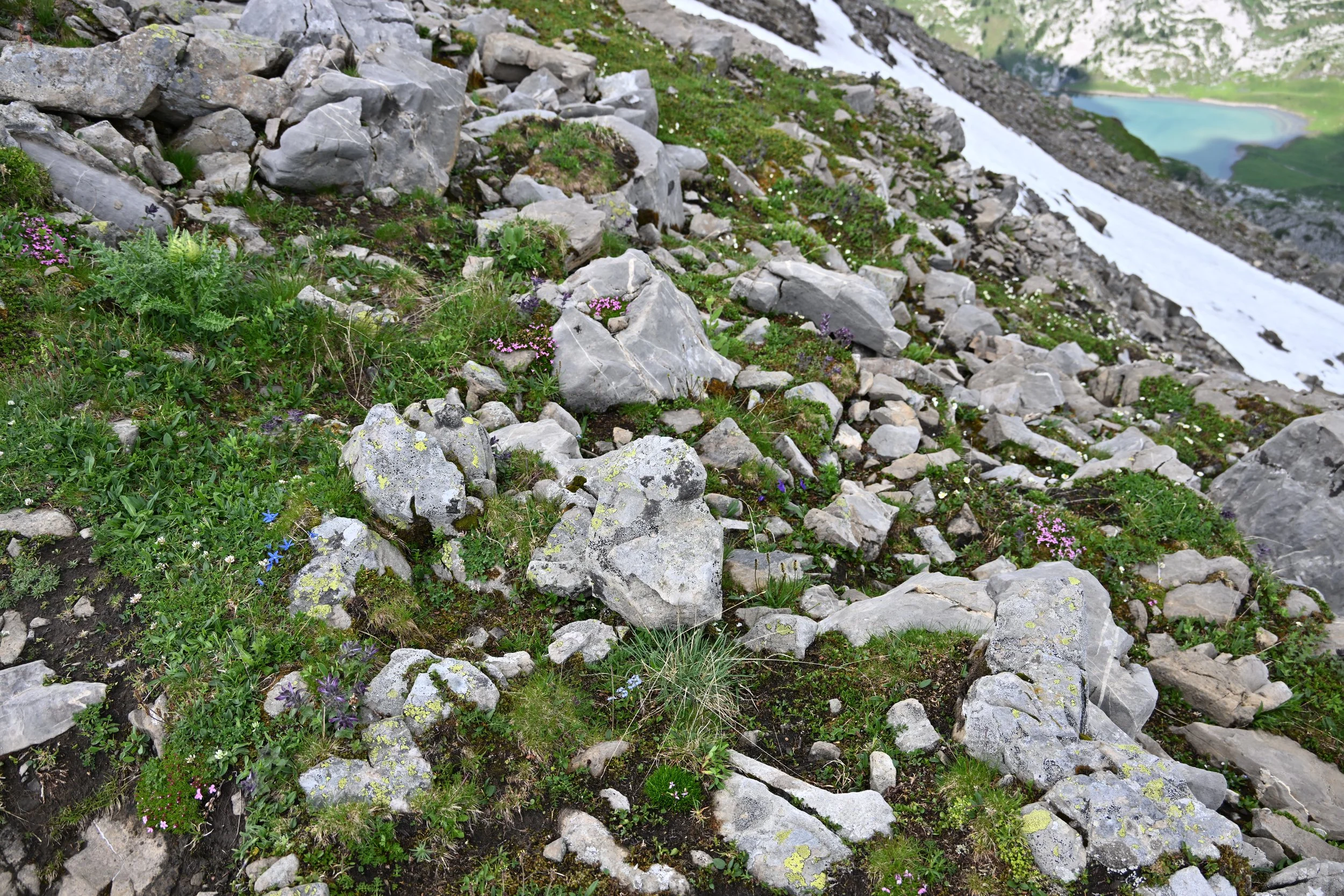
The Dolomites are officially designated as the Southern Limestone Alps, and are made of Dolomite rock (calcium-magnesium carbonate). This is in contrast to the granite in the central Alps.
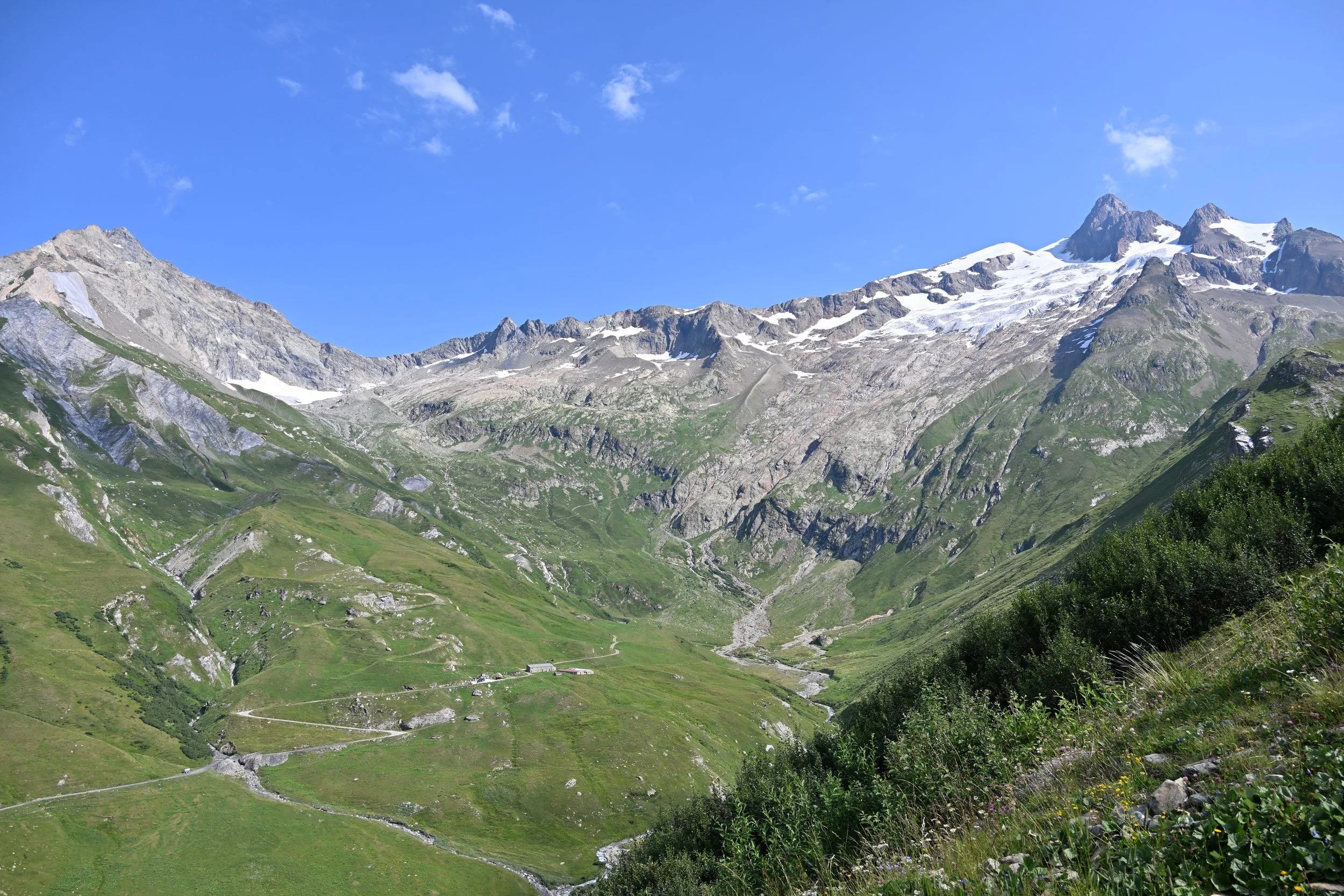
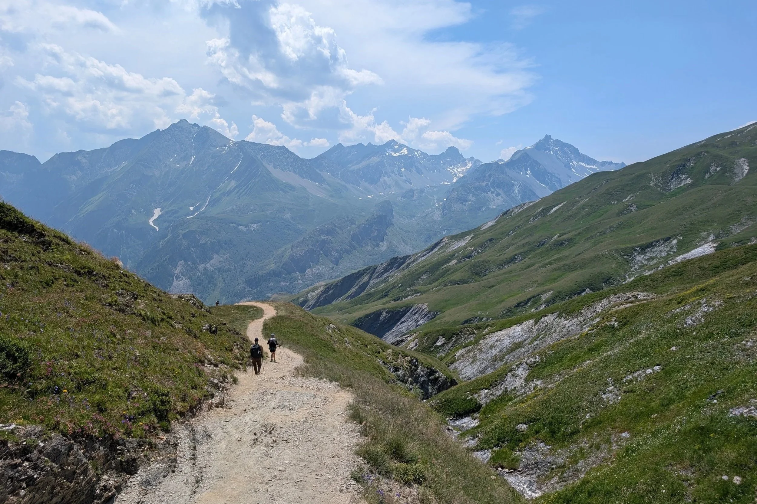
On our first full day we chose an 8 mile hike that promised great views and a lake with a refugio.

We climbed over 2,900 ft...
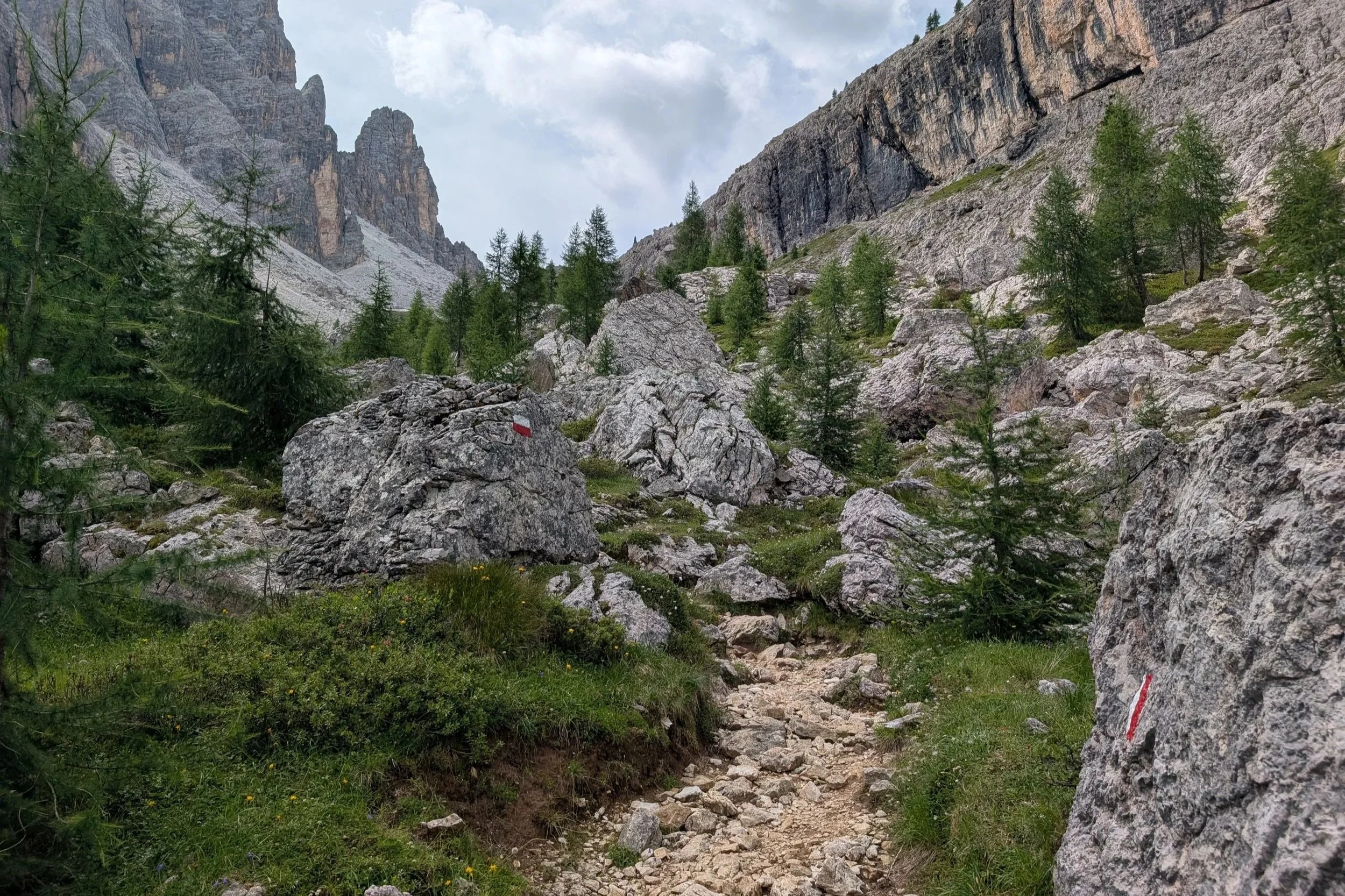
... but it was never very arduous, just tedious -
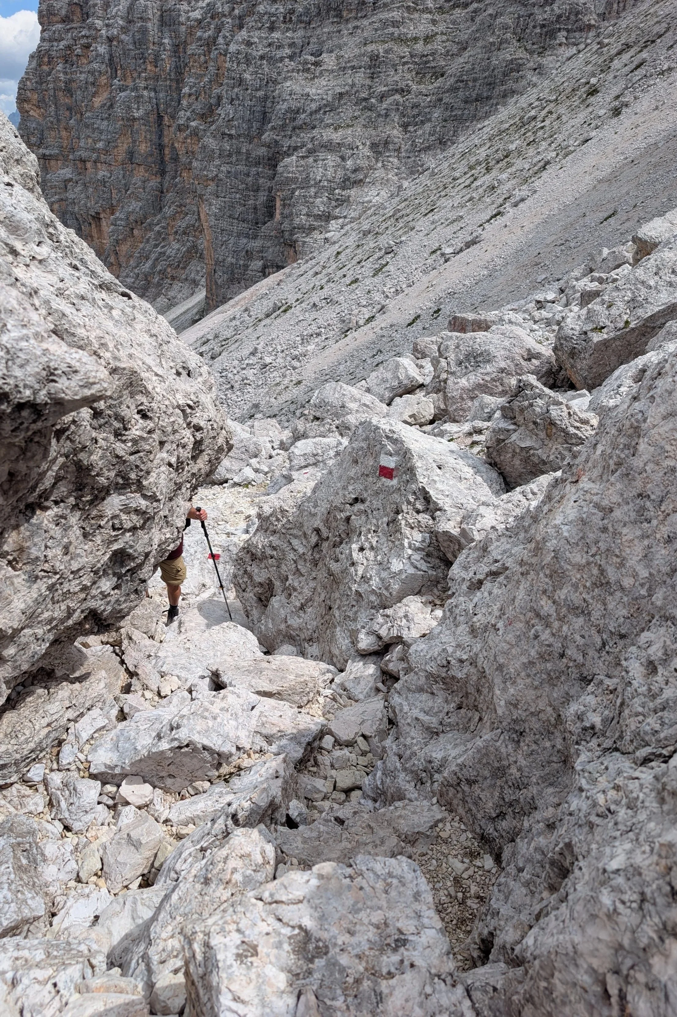
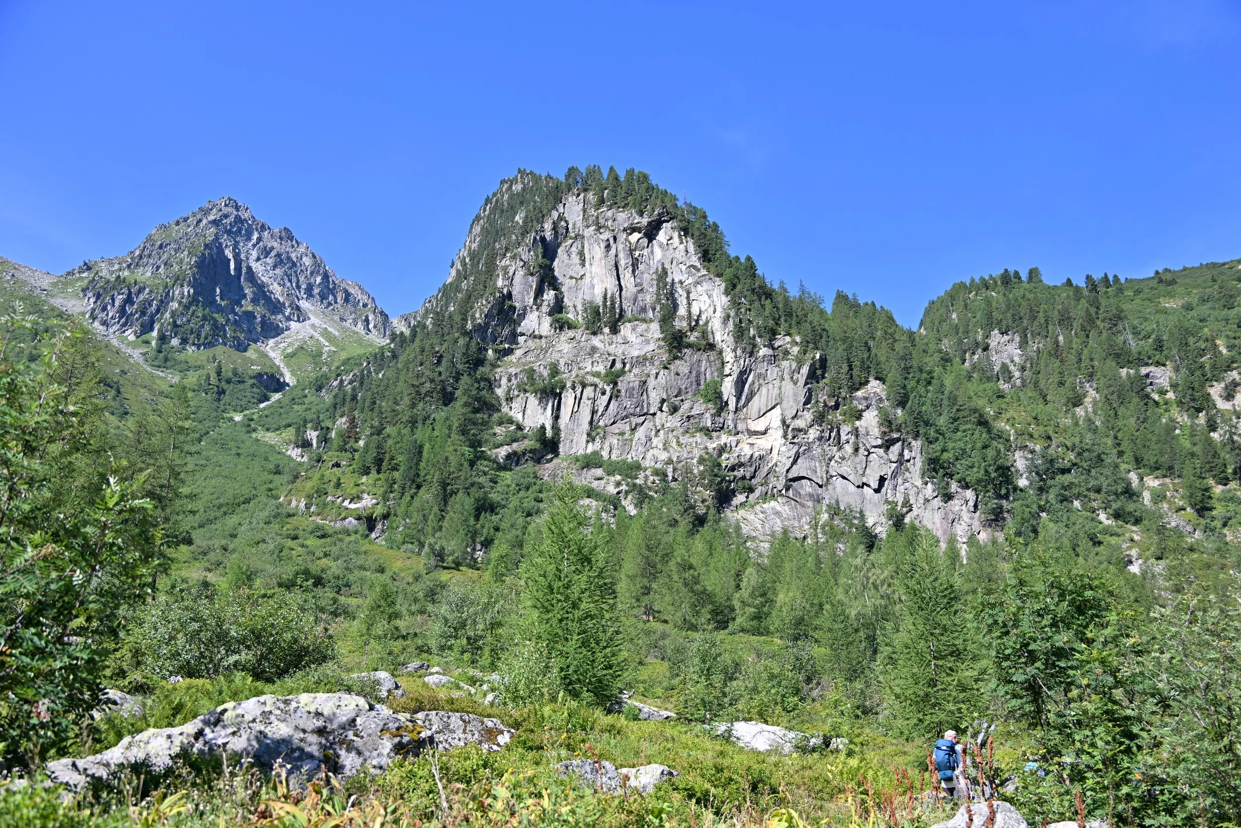
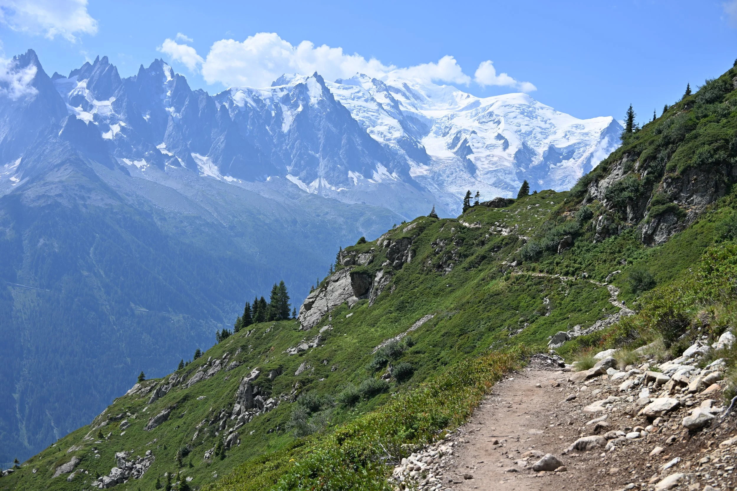
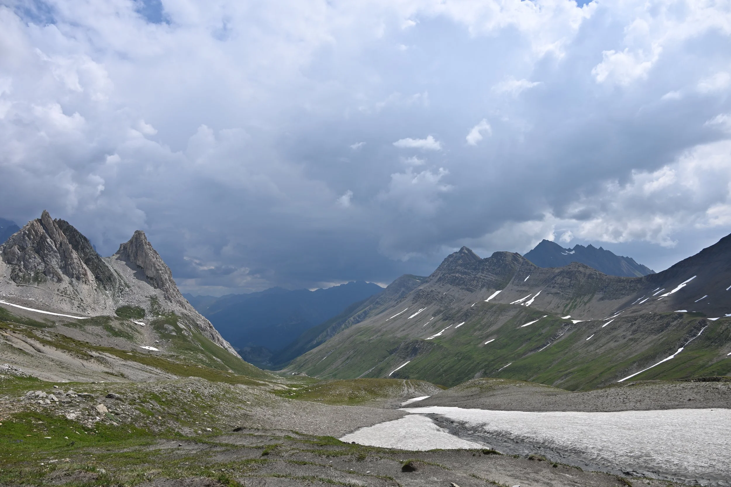
We did enjoy the views opening up behind us as we went...

... but I did a happy dance as we crested the pass. (video coming up, so open the post in your browser or click the link at the end of the email)
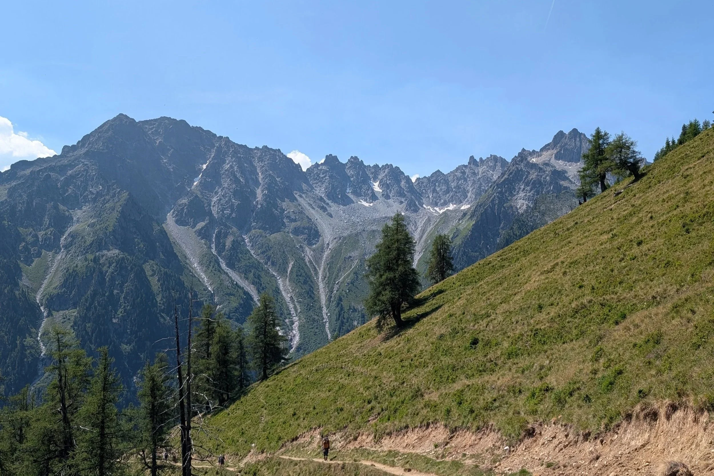
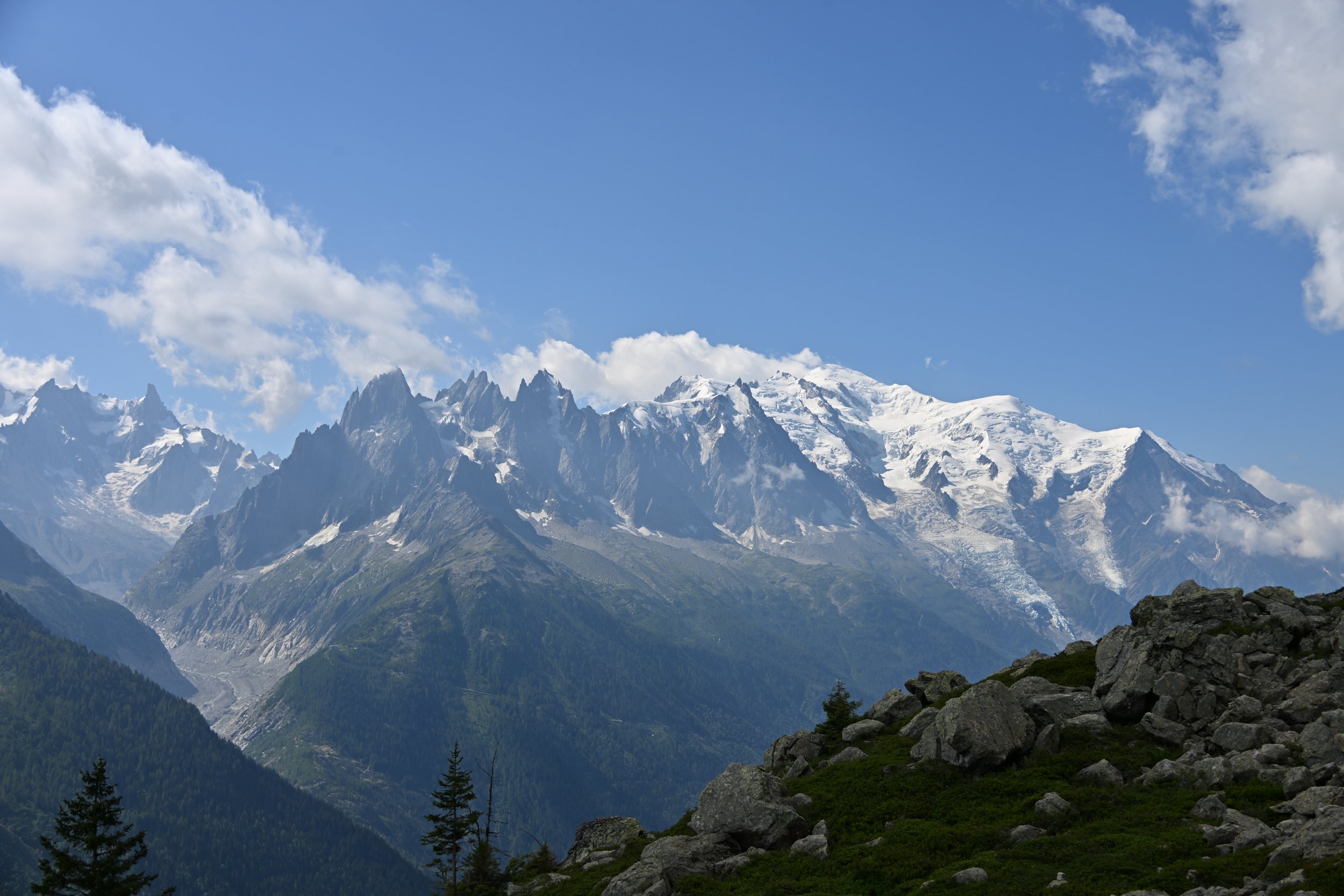
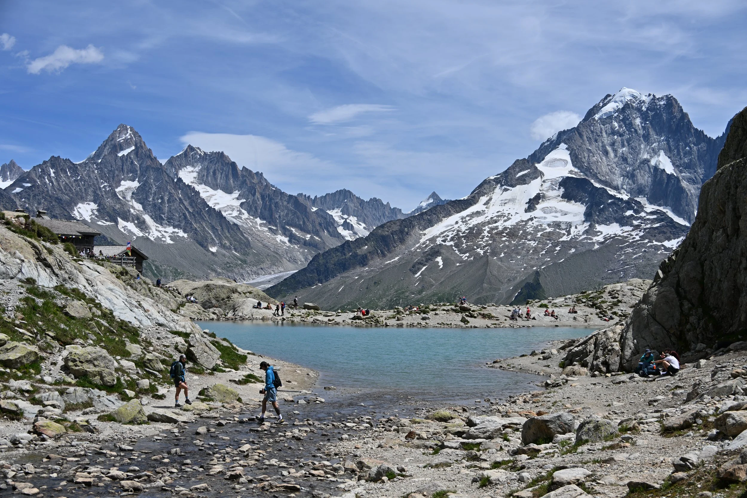
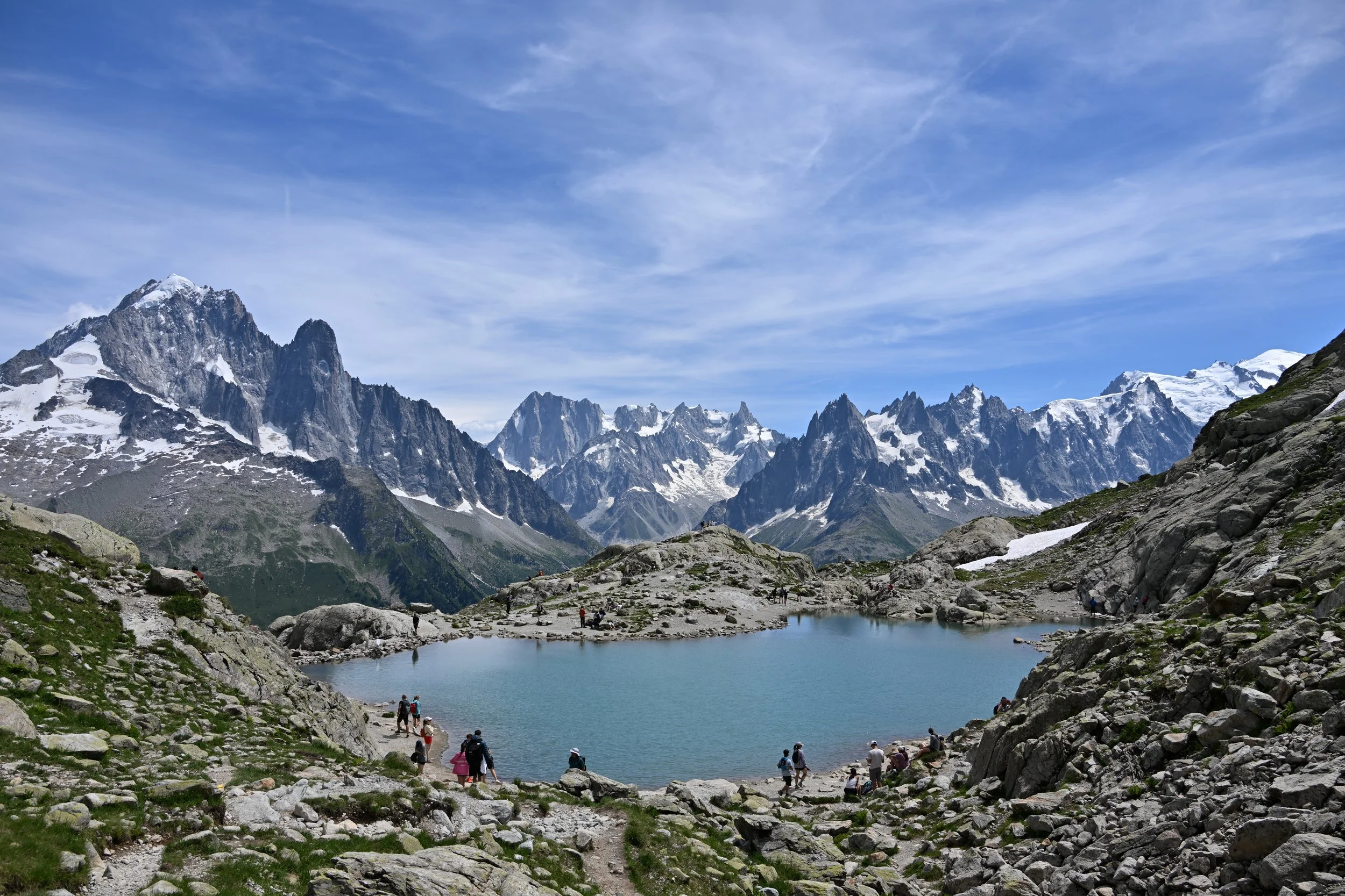
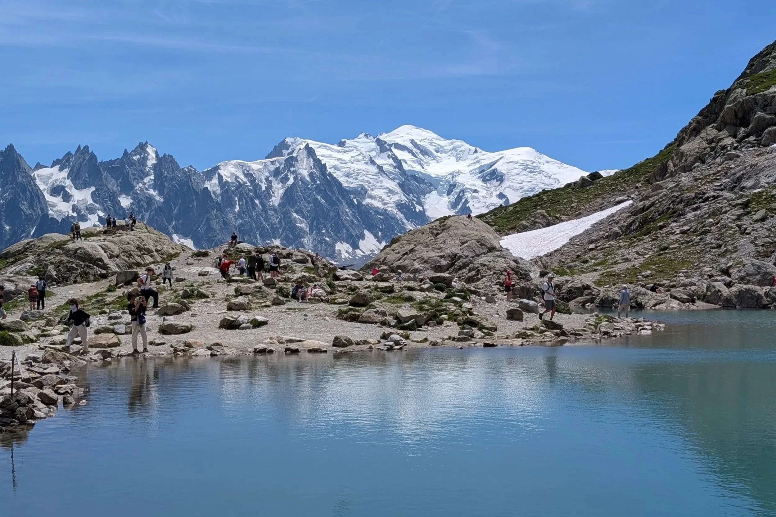
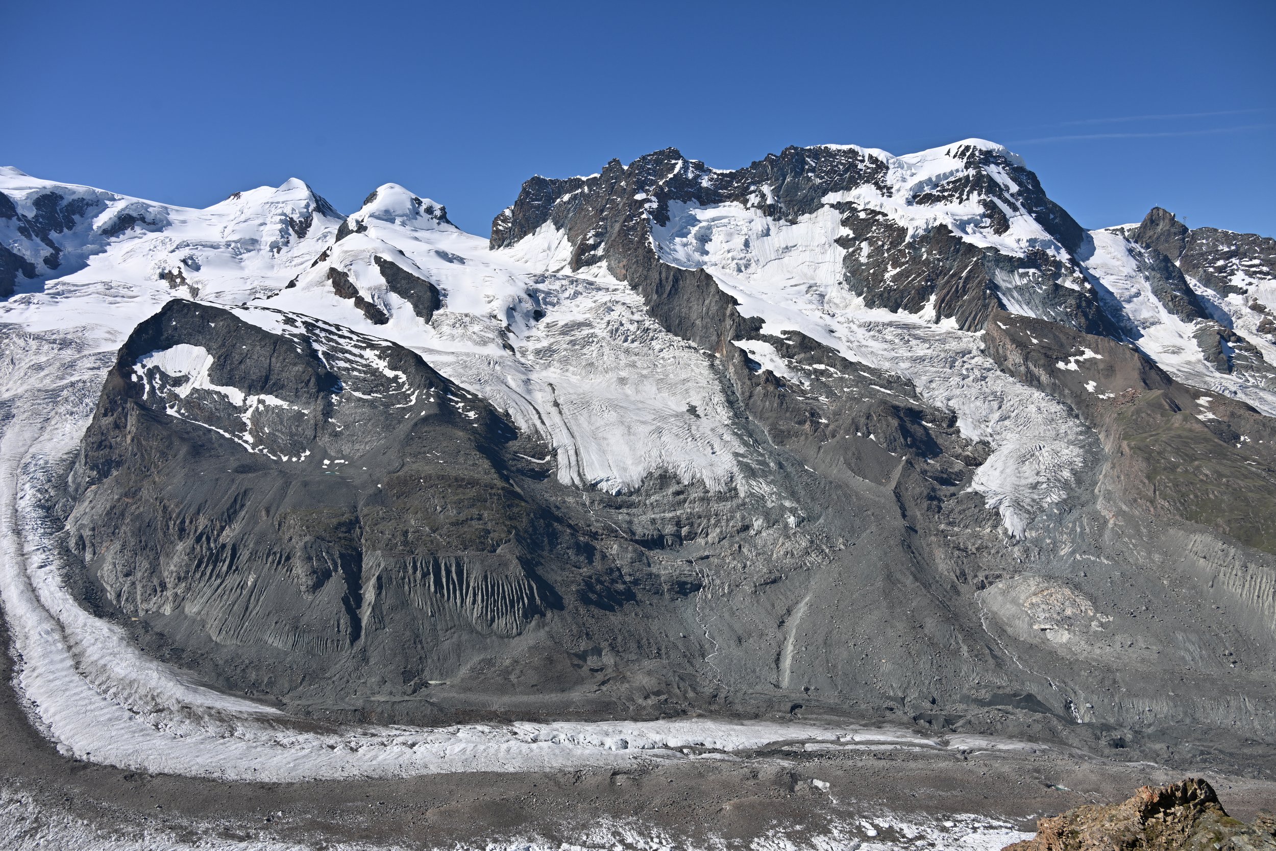
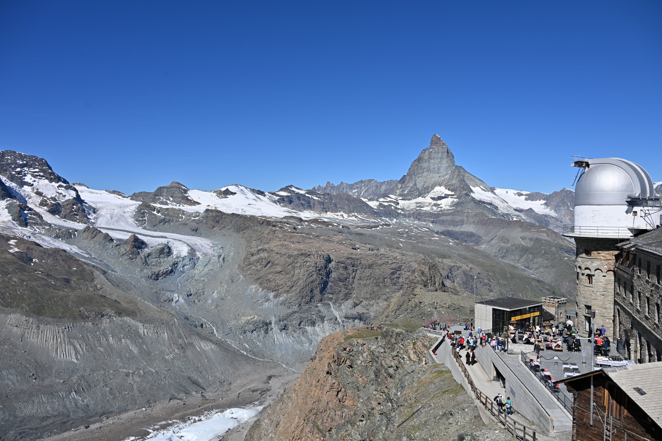
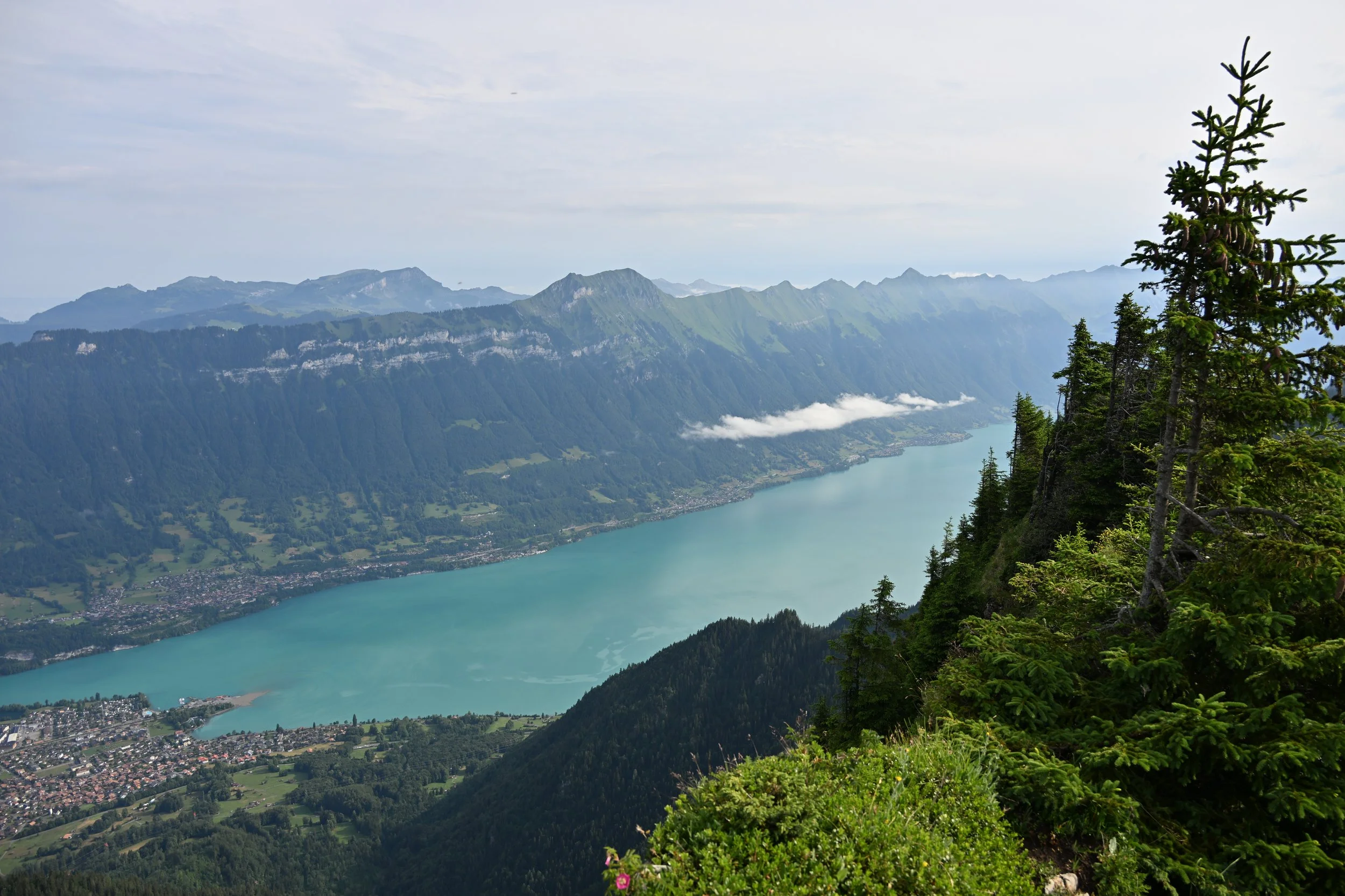
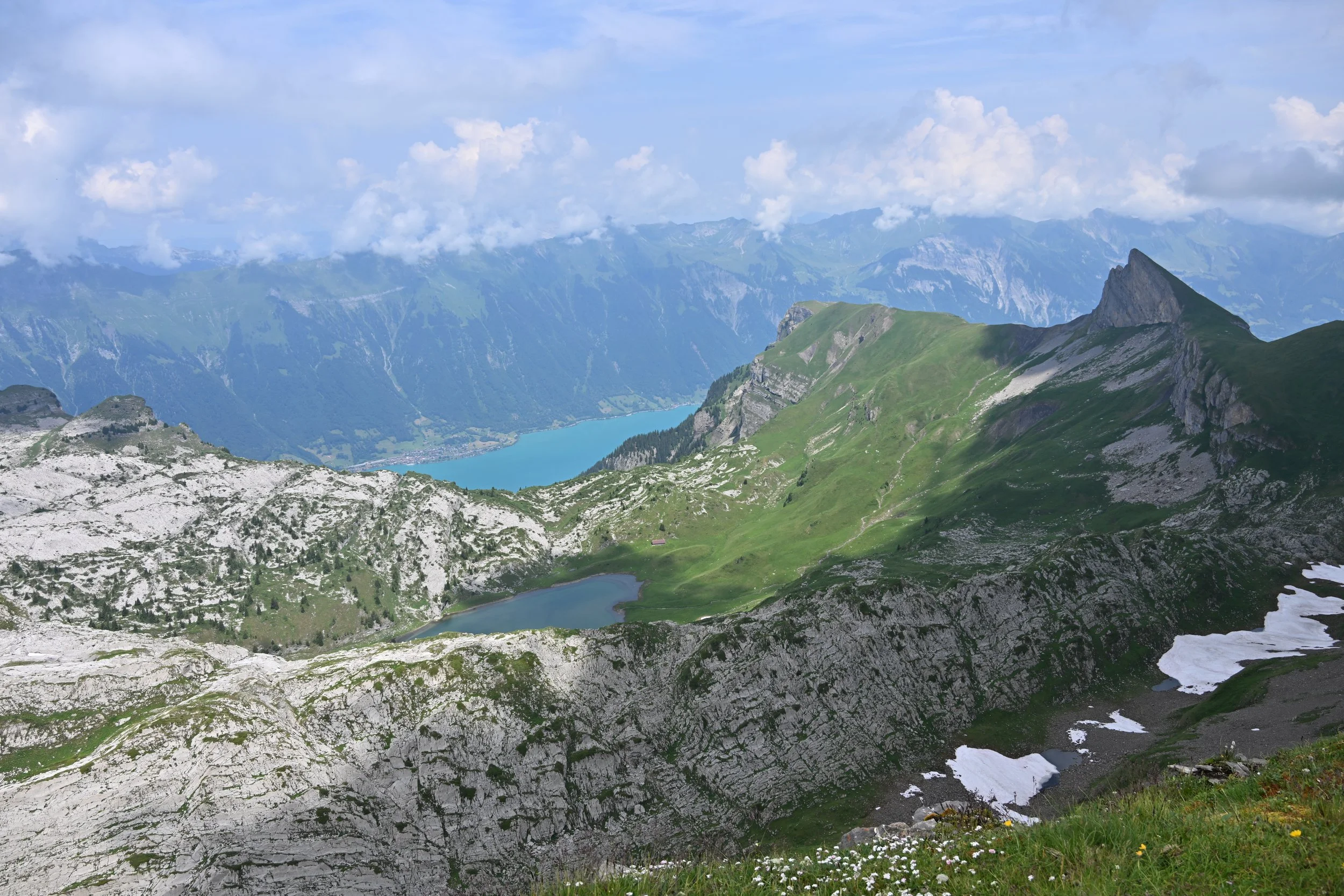
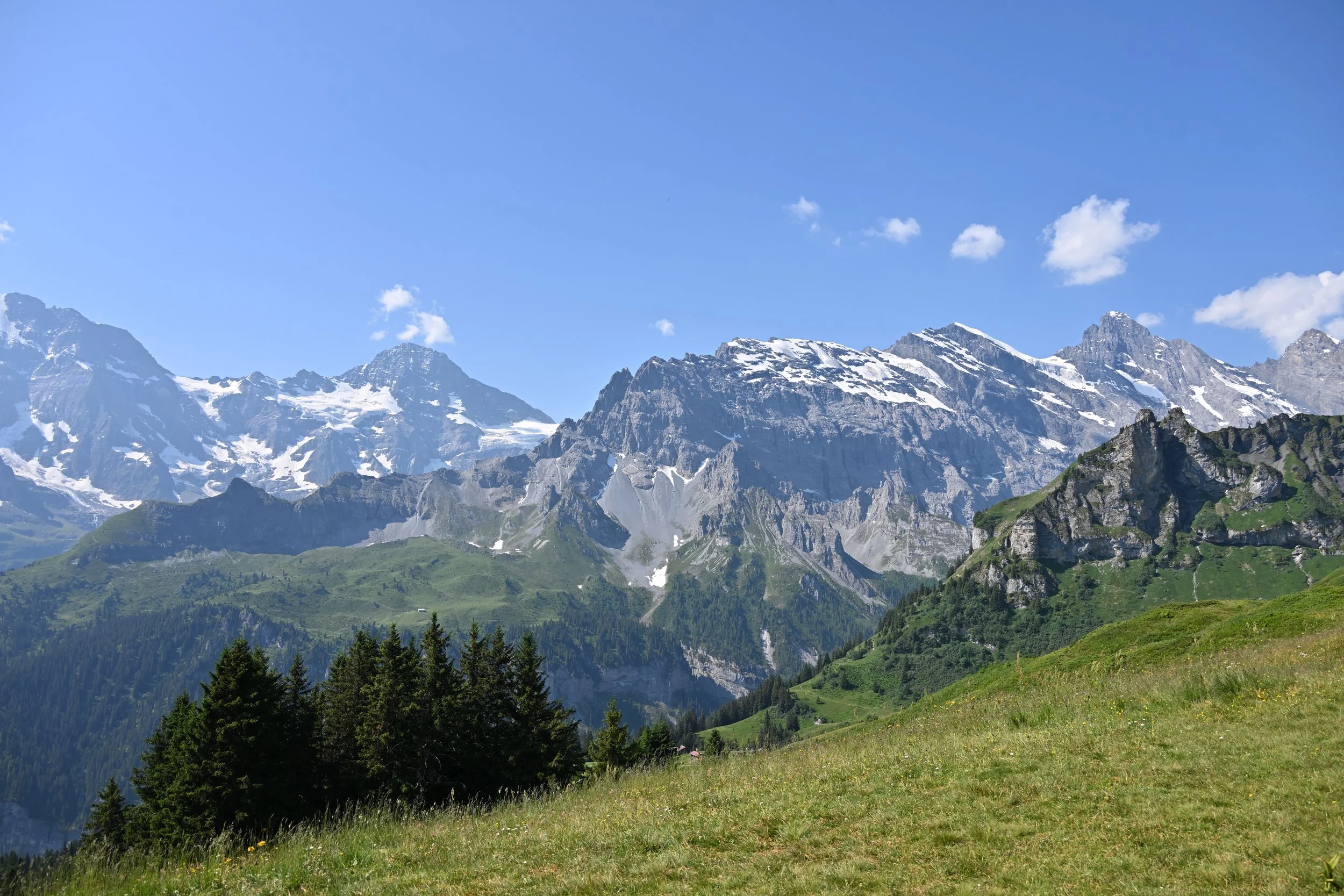
The views were truly epic -
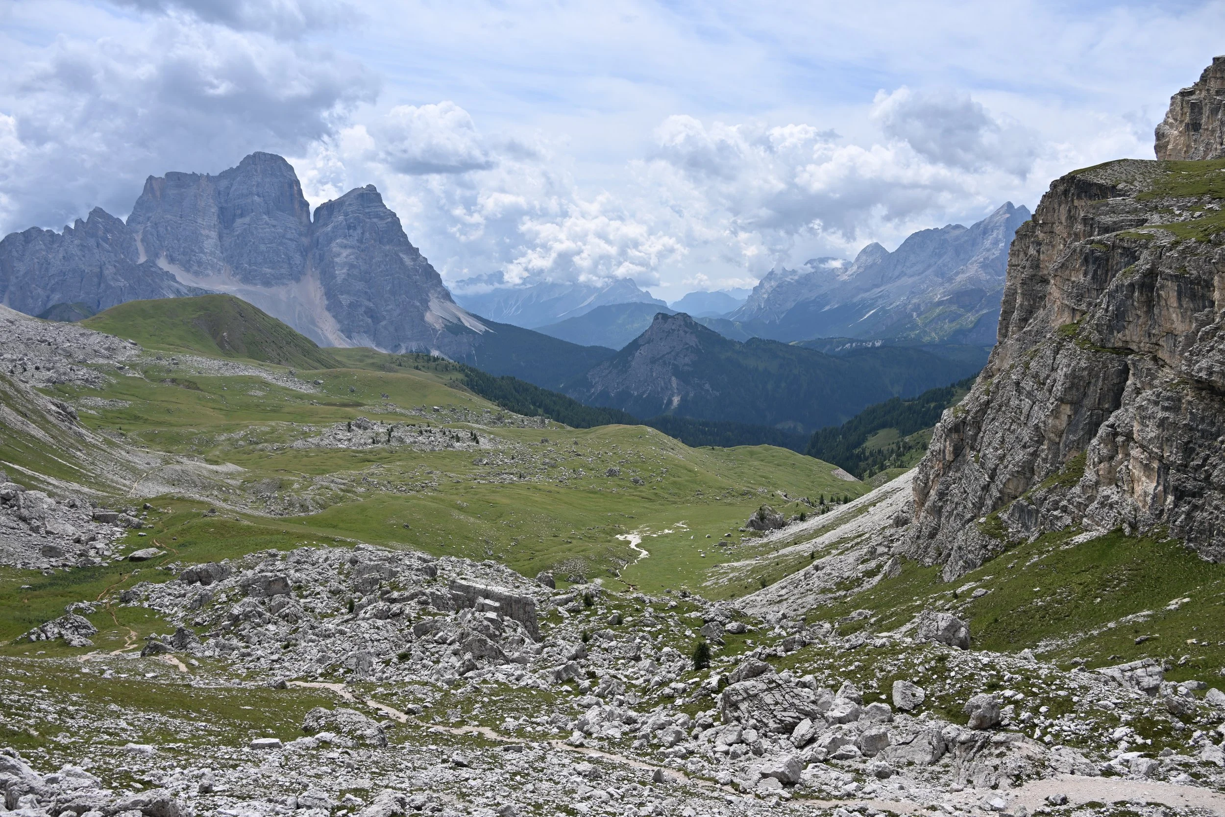
For scale, note the trail near the bottom of the picture above. This was like trying to take a picture of the Grand Canyon. A single photo just can’t do it justice.
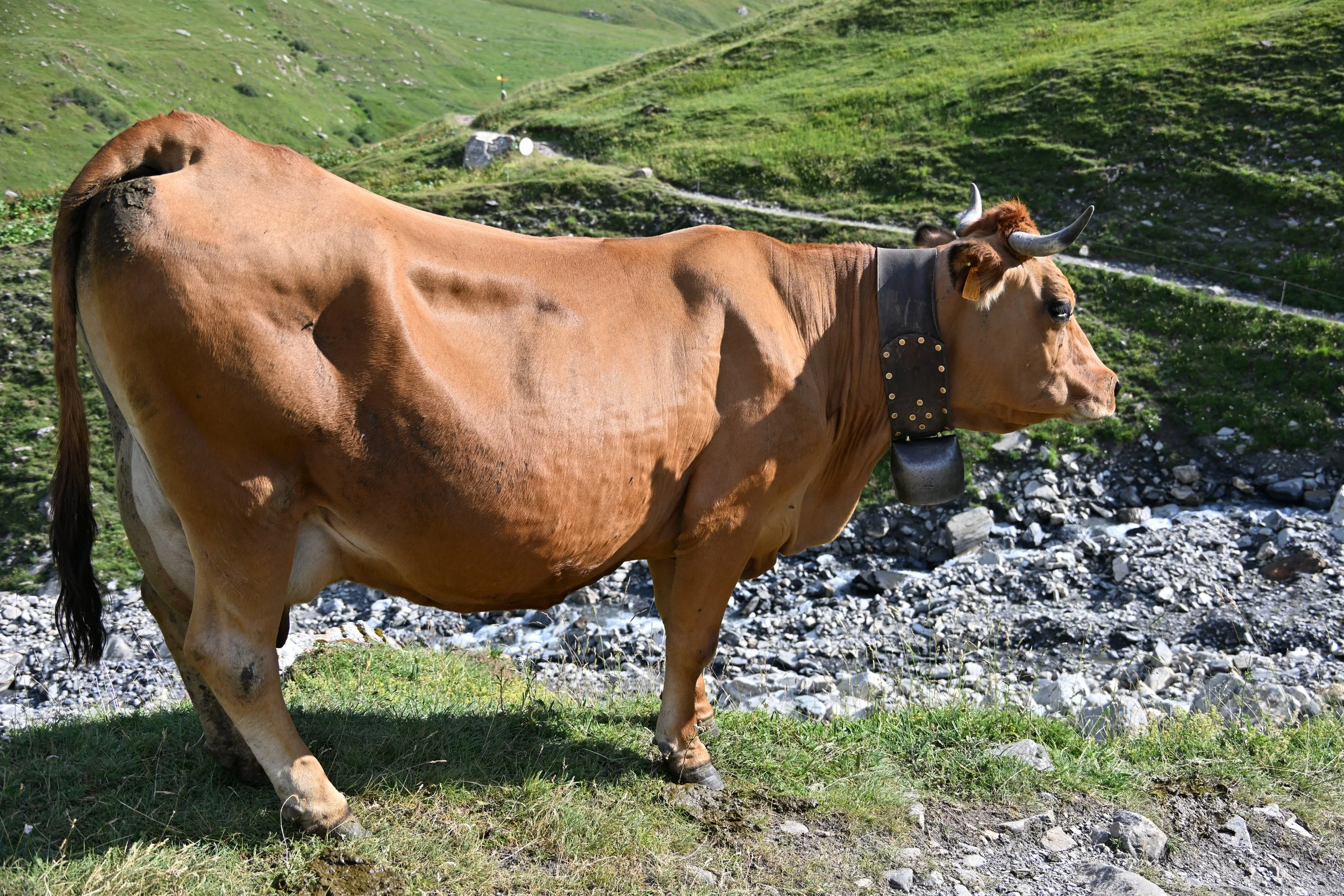
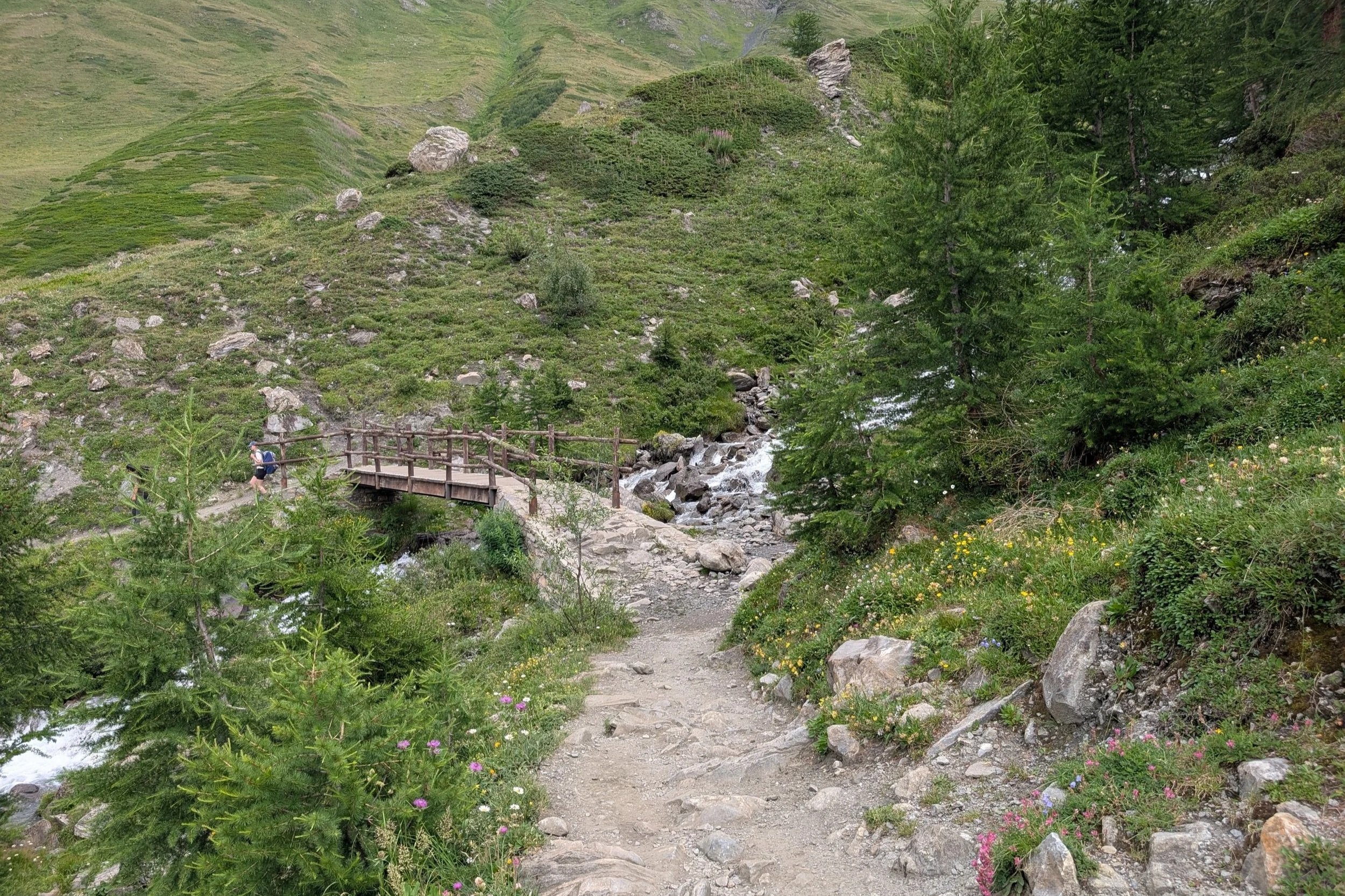
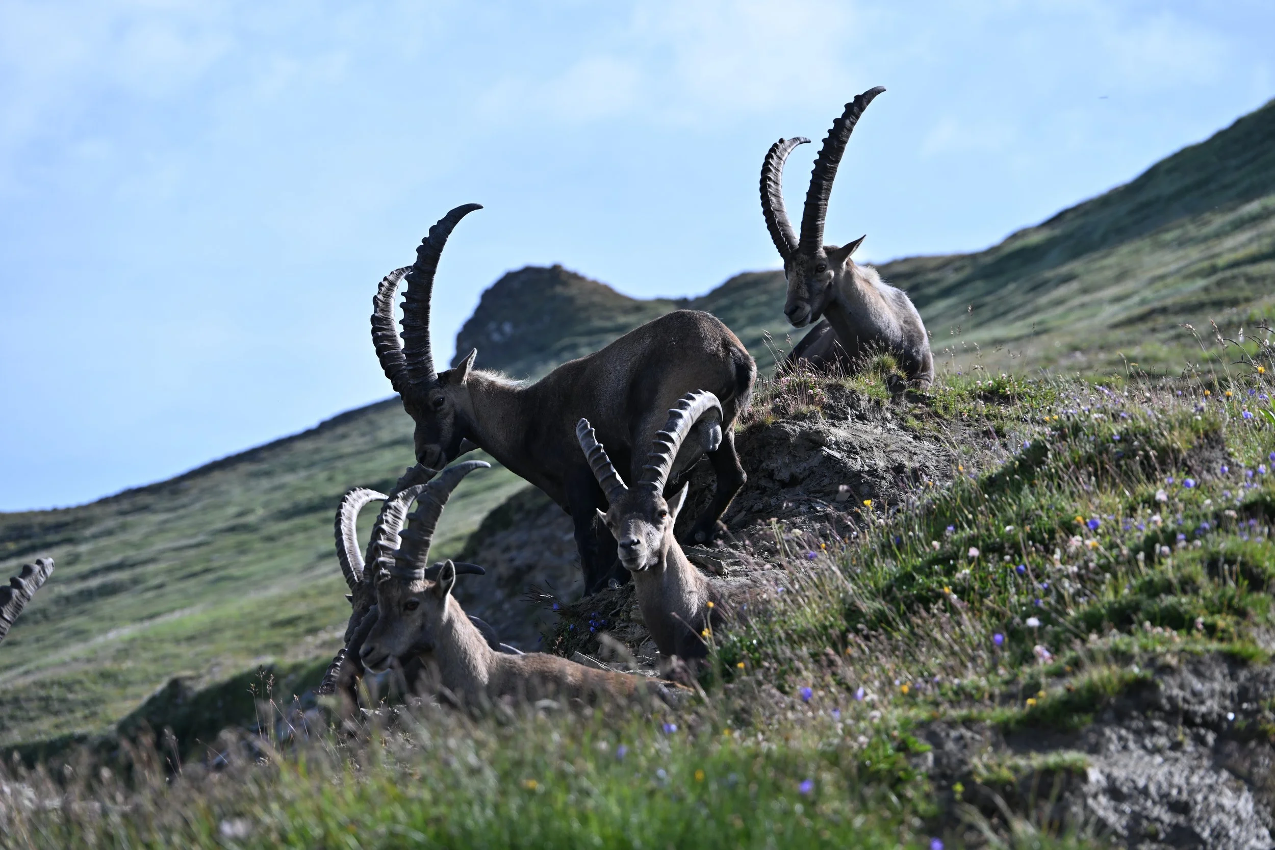
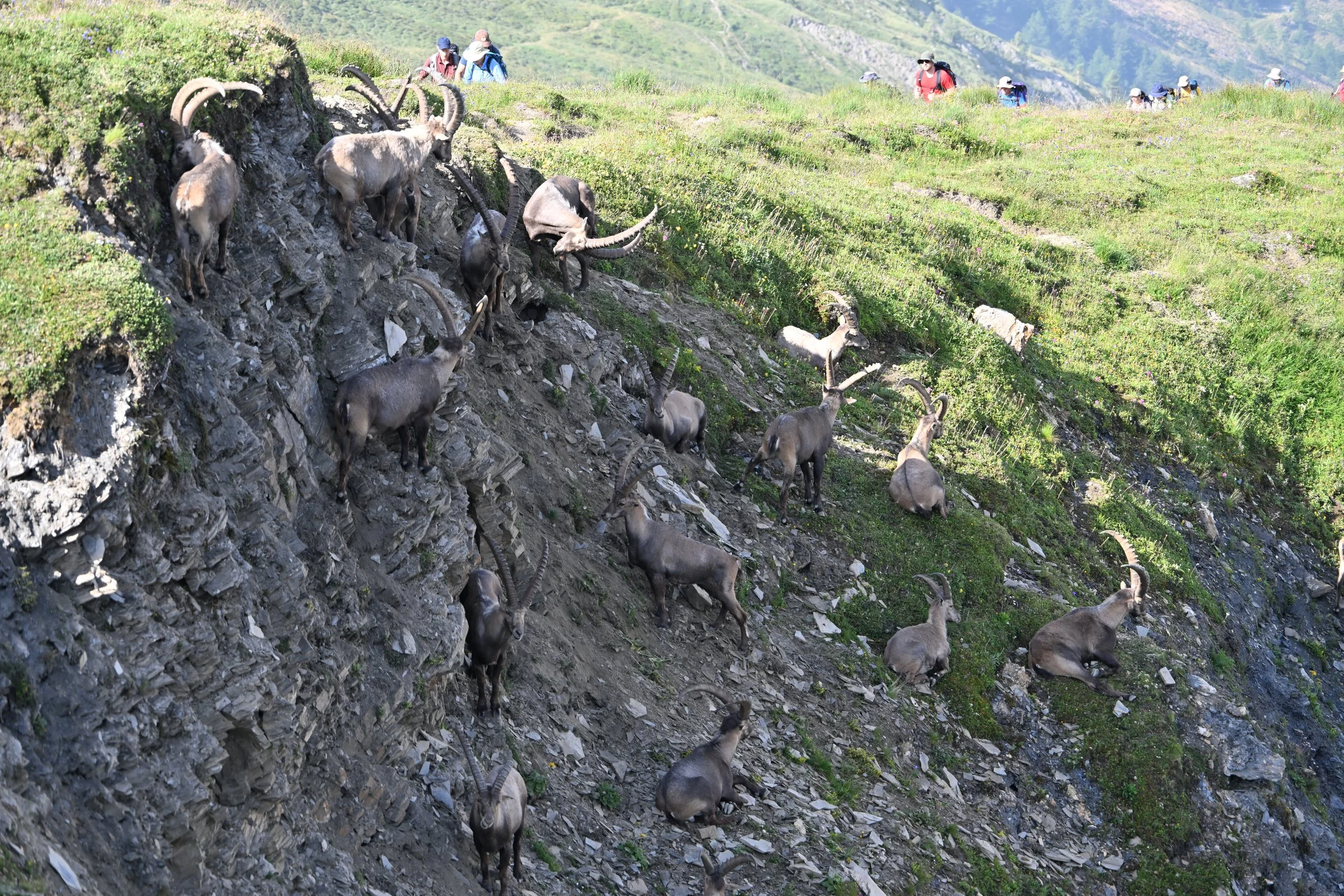
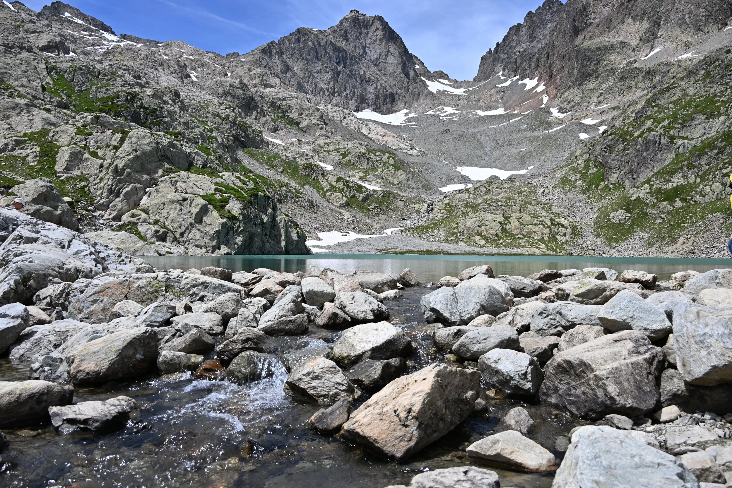
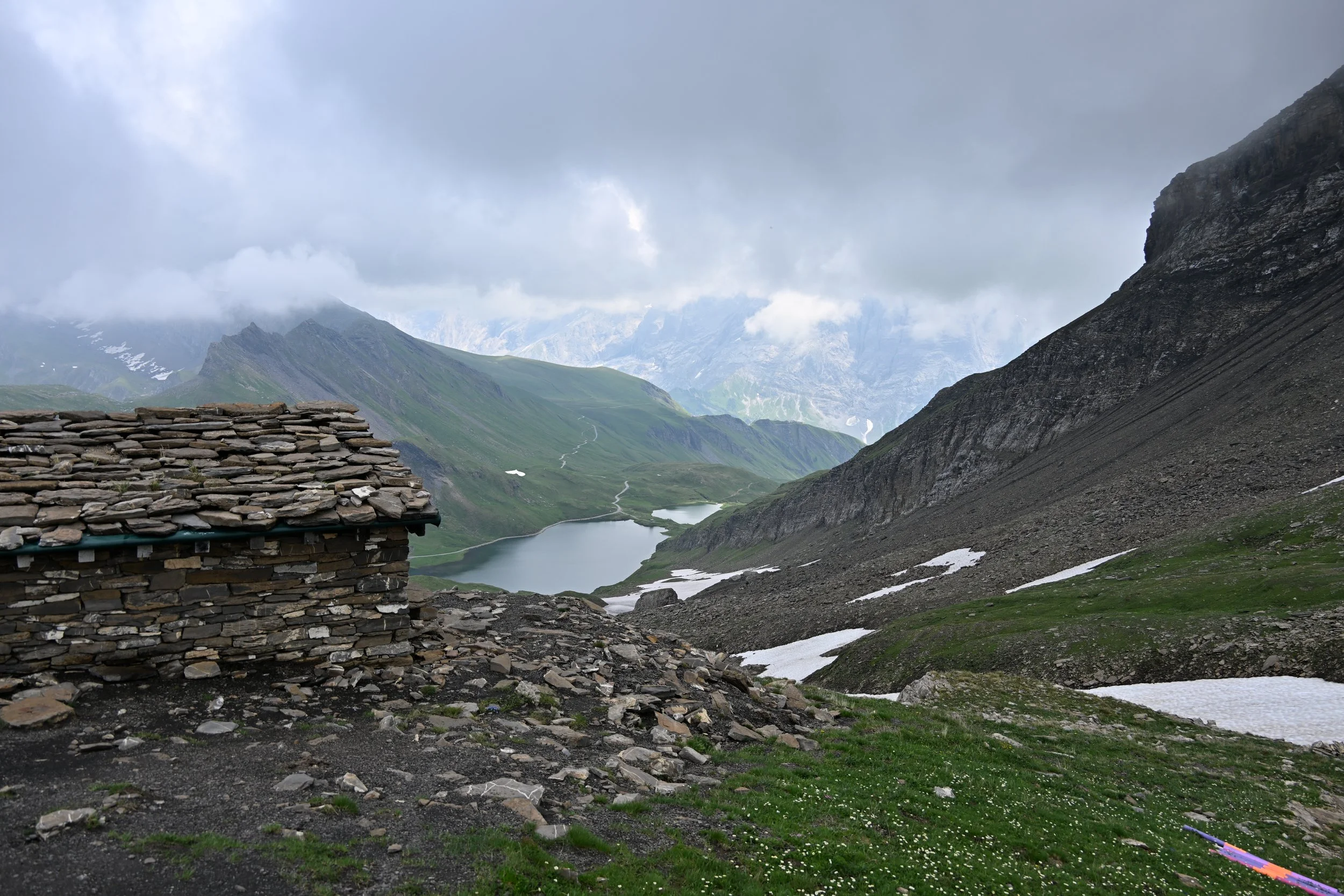
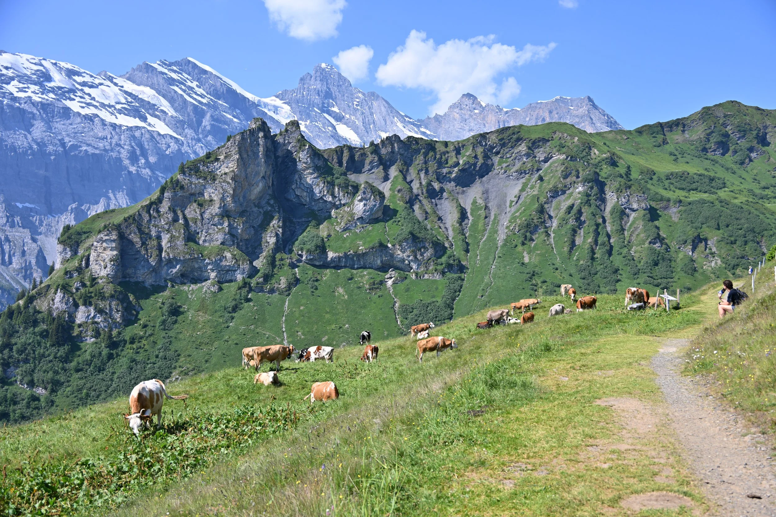
As we neared the lake, we heard cowbells -
We enjoyed a relaxing lunch…
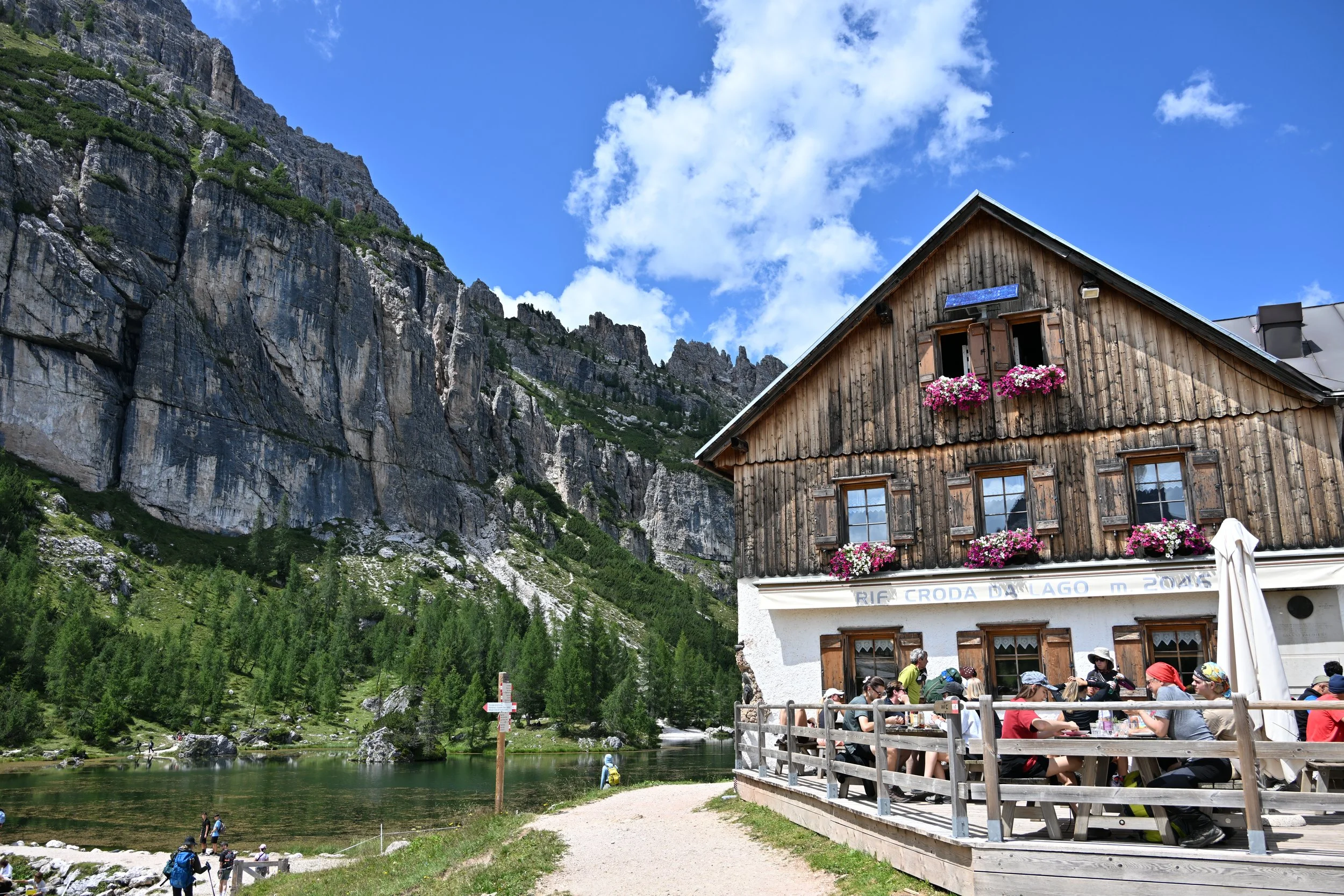
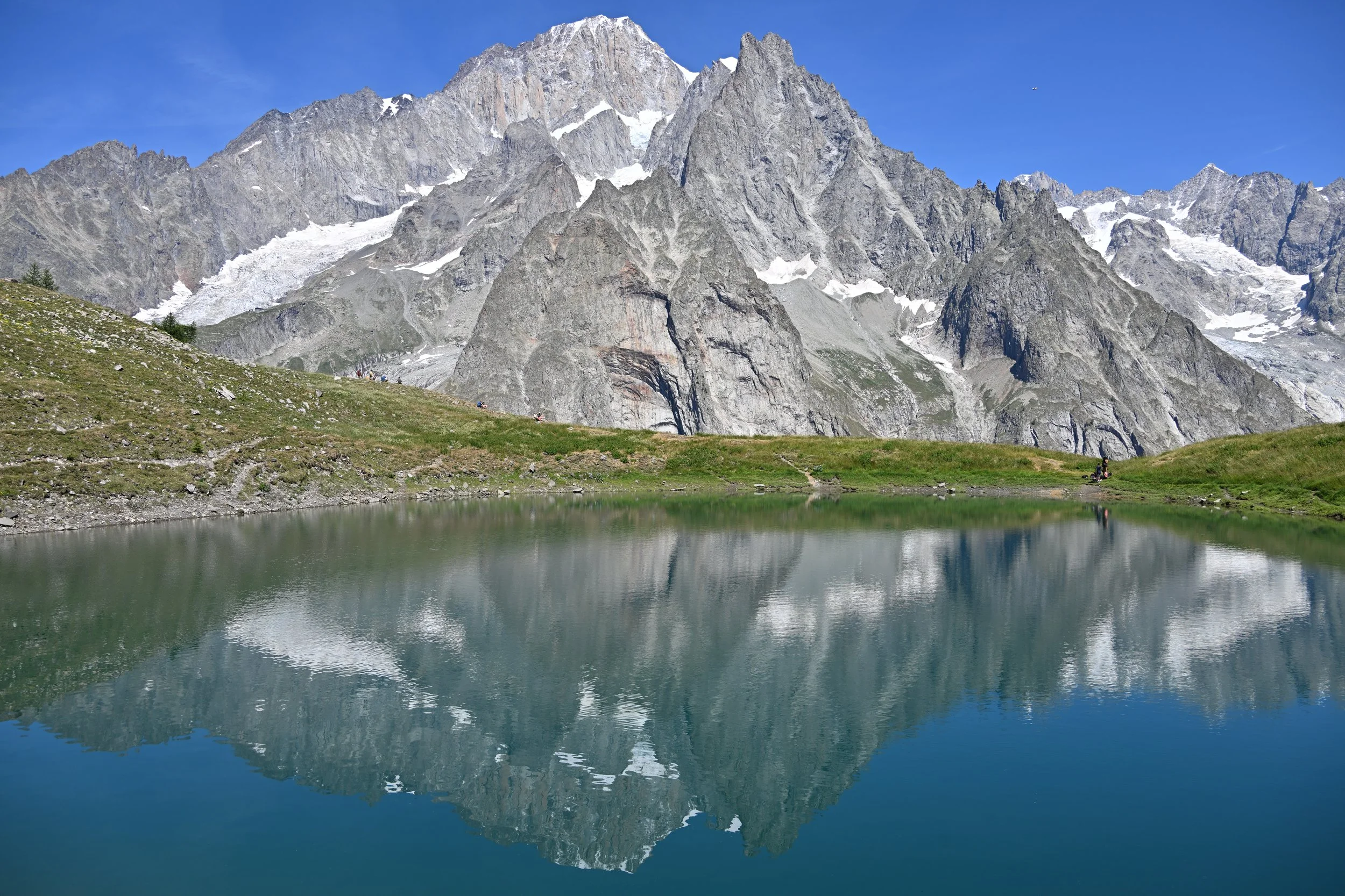
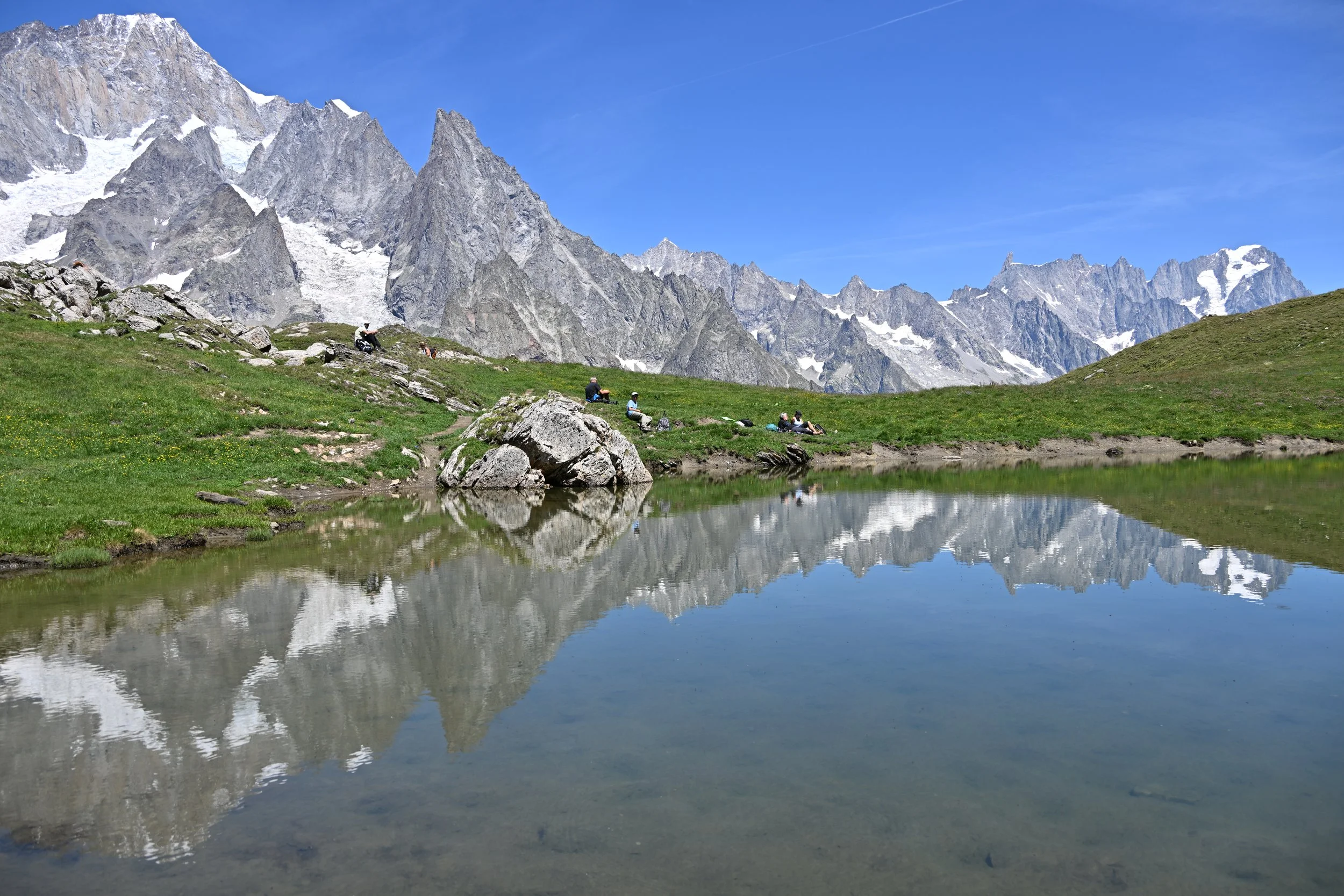
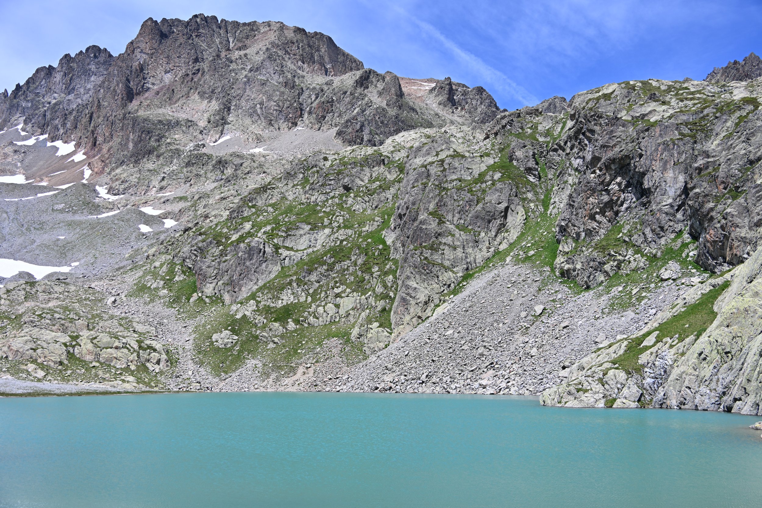
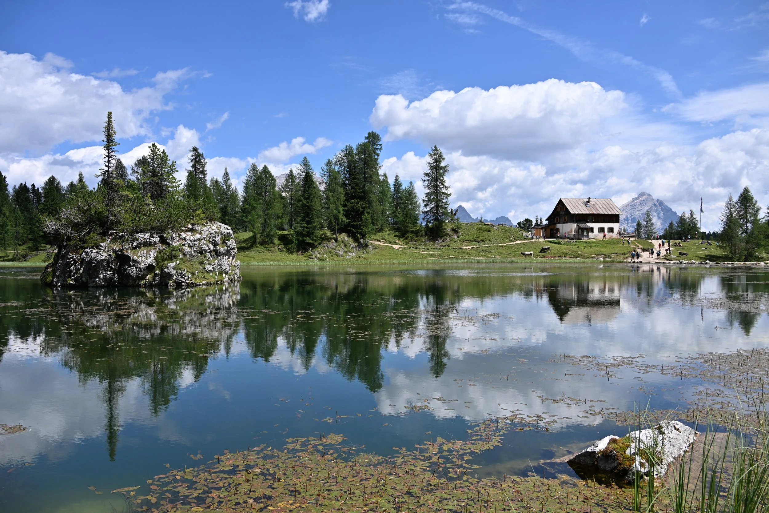
… before I went in search of reflections -
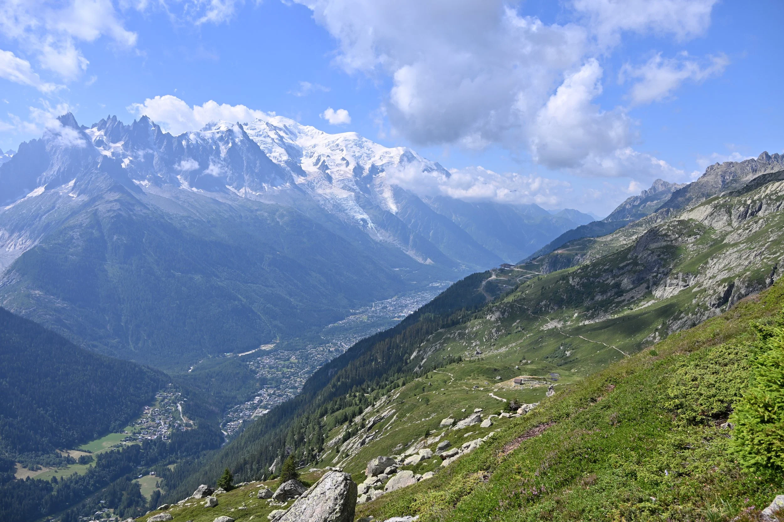
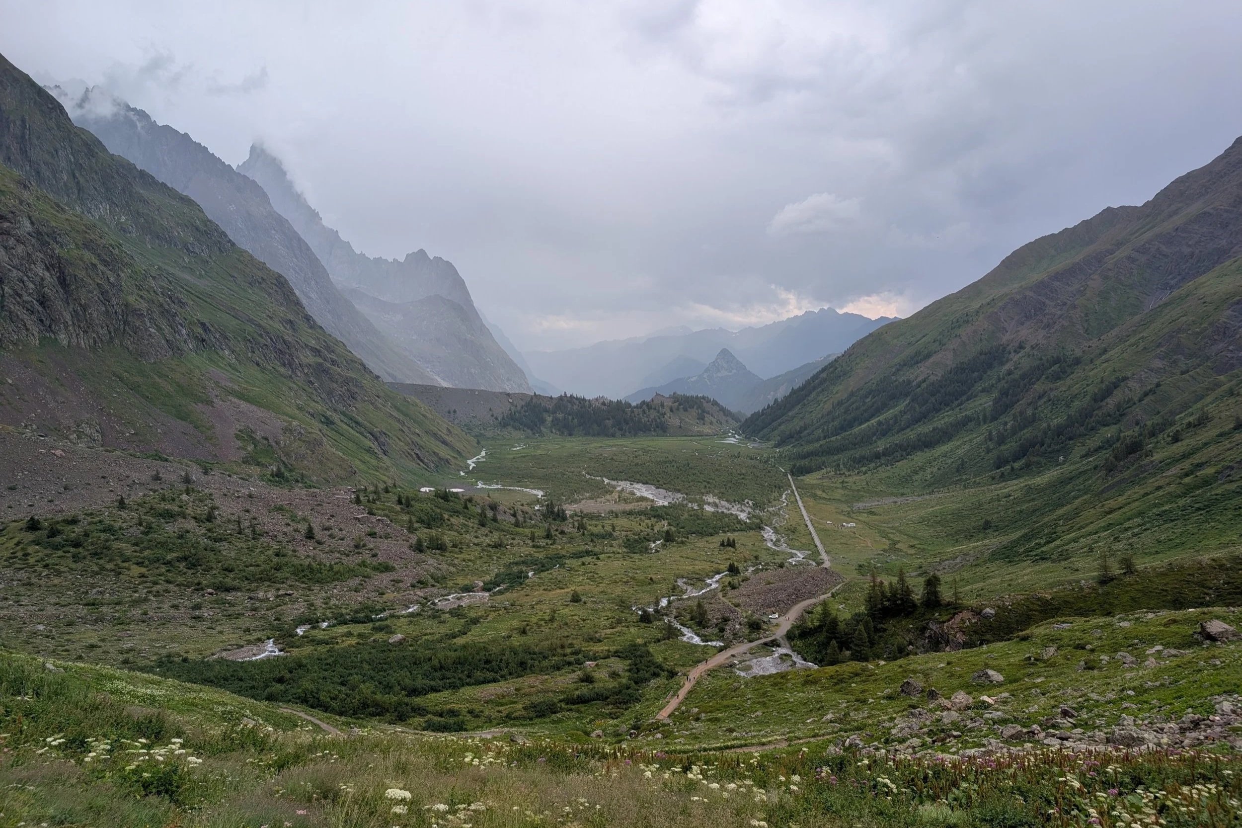
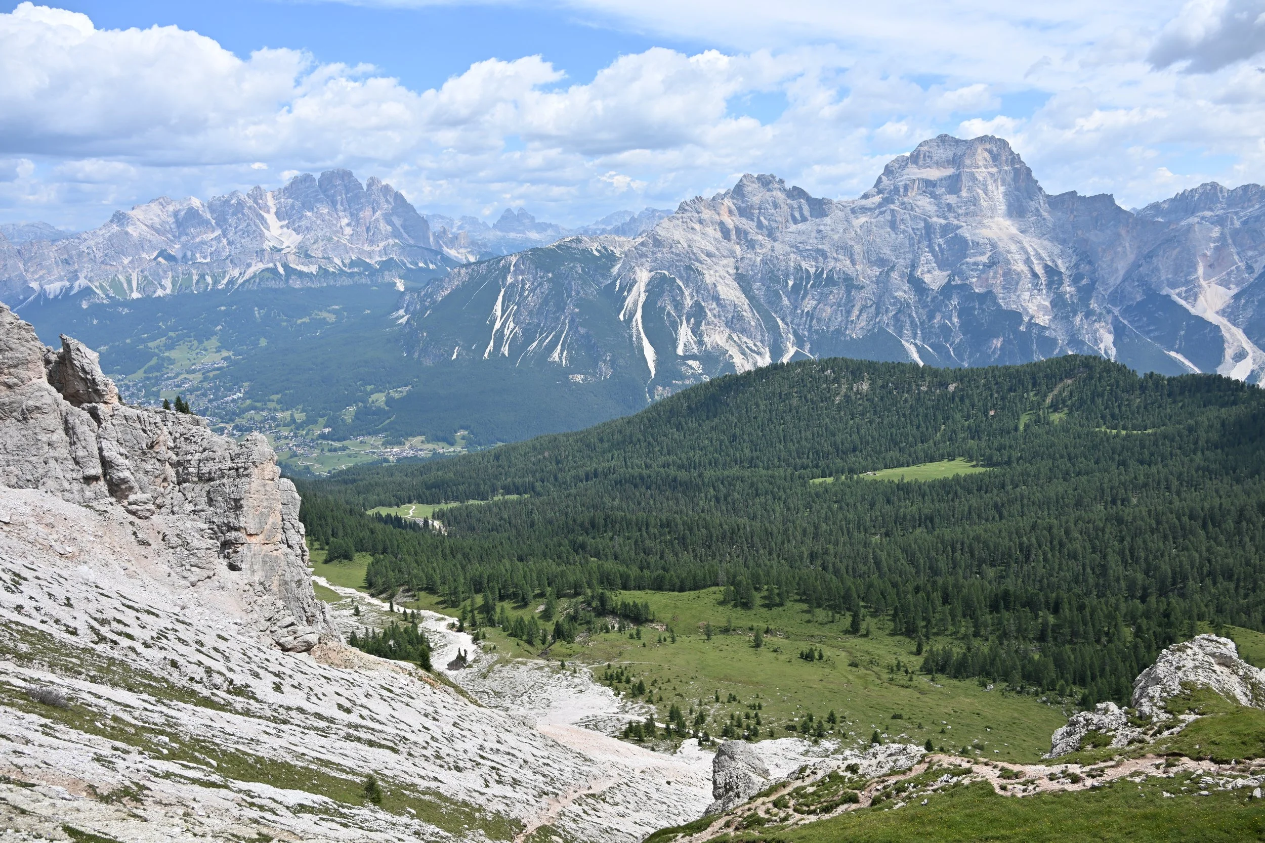
As we made our way back down, Cortina showed itself to be nicely spread out in its valley -

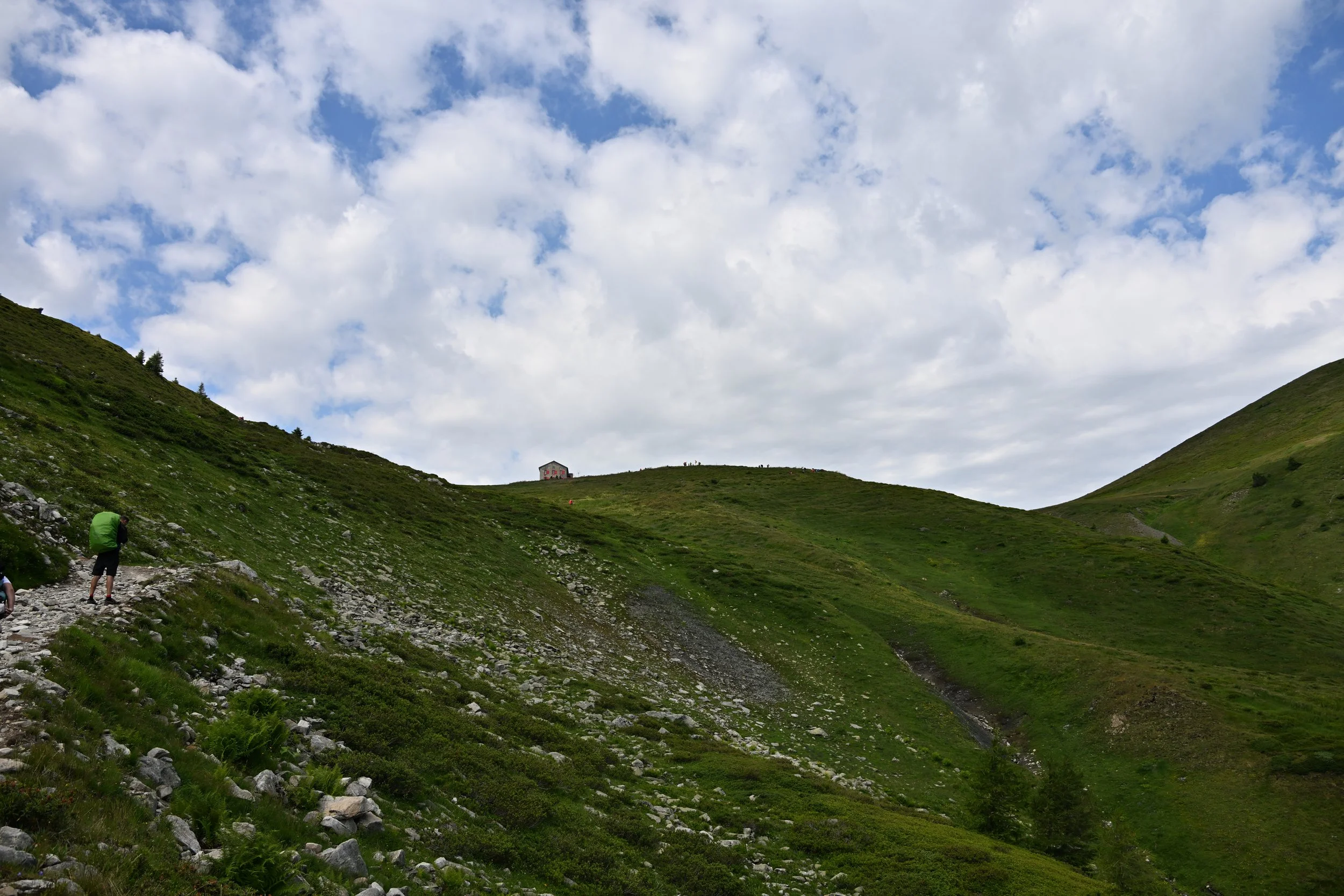
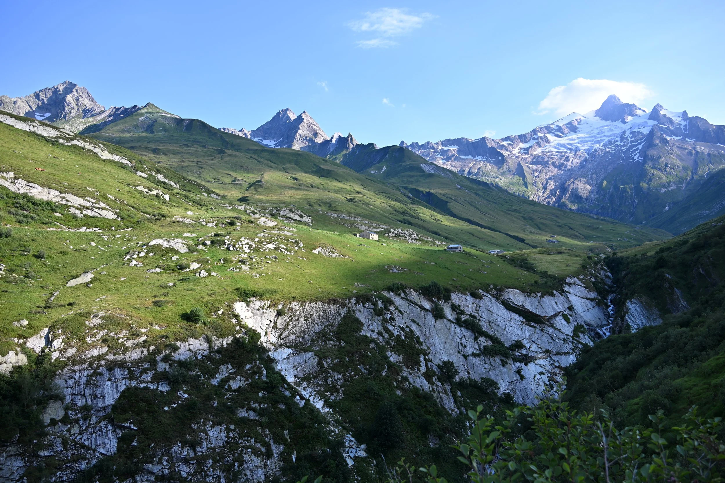
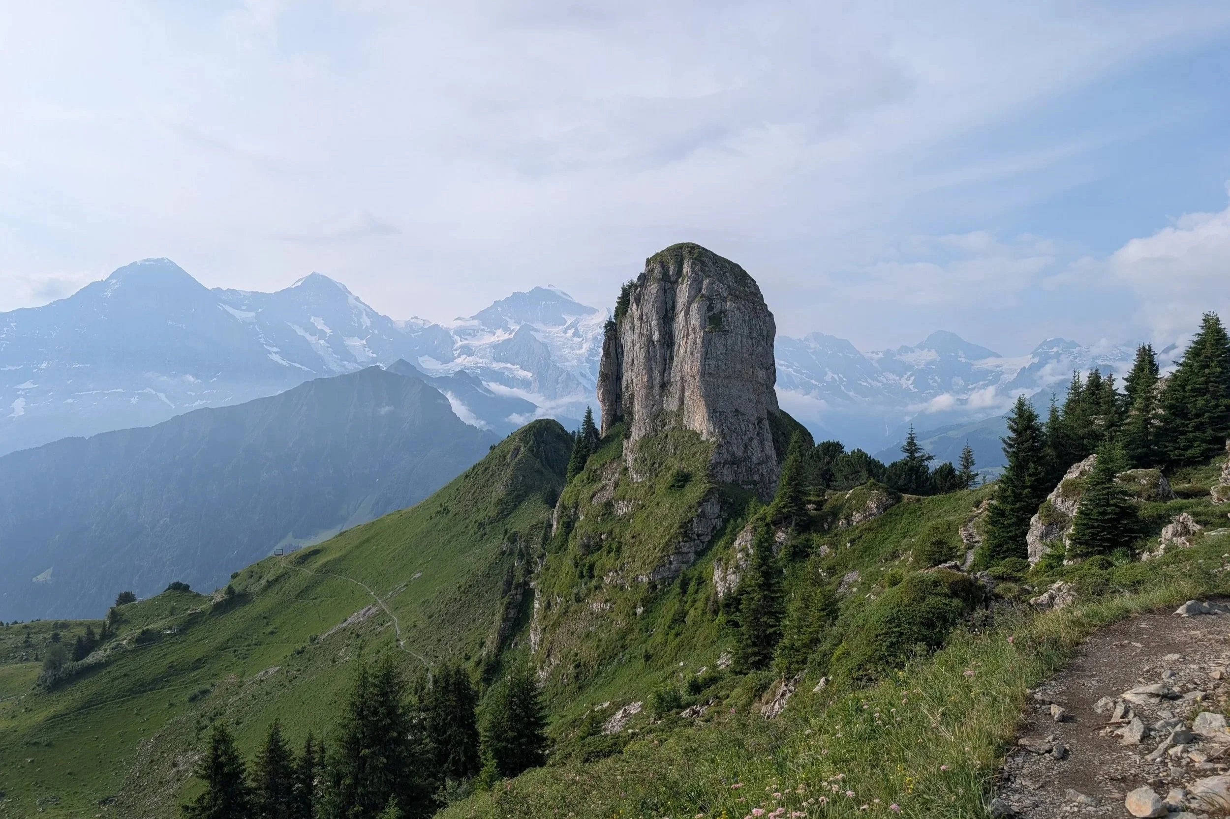
On our second day of hiking, we planned to hike up to two refugios, and then explore around Cinque Torri, which is an open -air WWI museum. We took a chairlift up to start the hike -
The first refugio is to the left of the large rock formation, and the second, higher one is near the left edge of the photo.

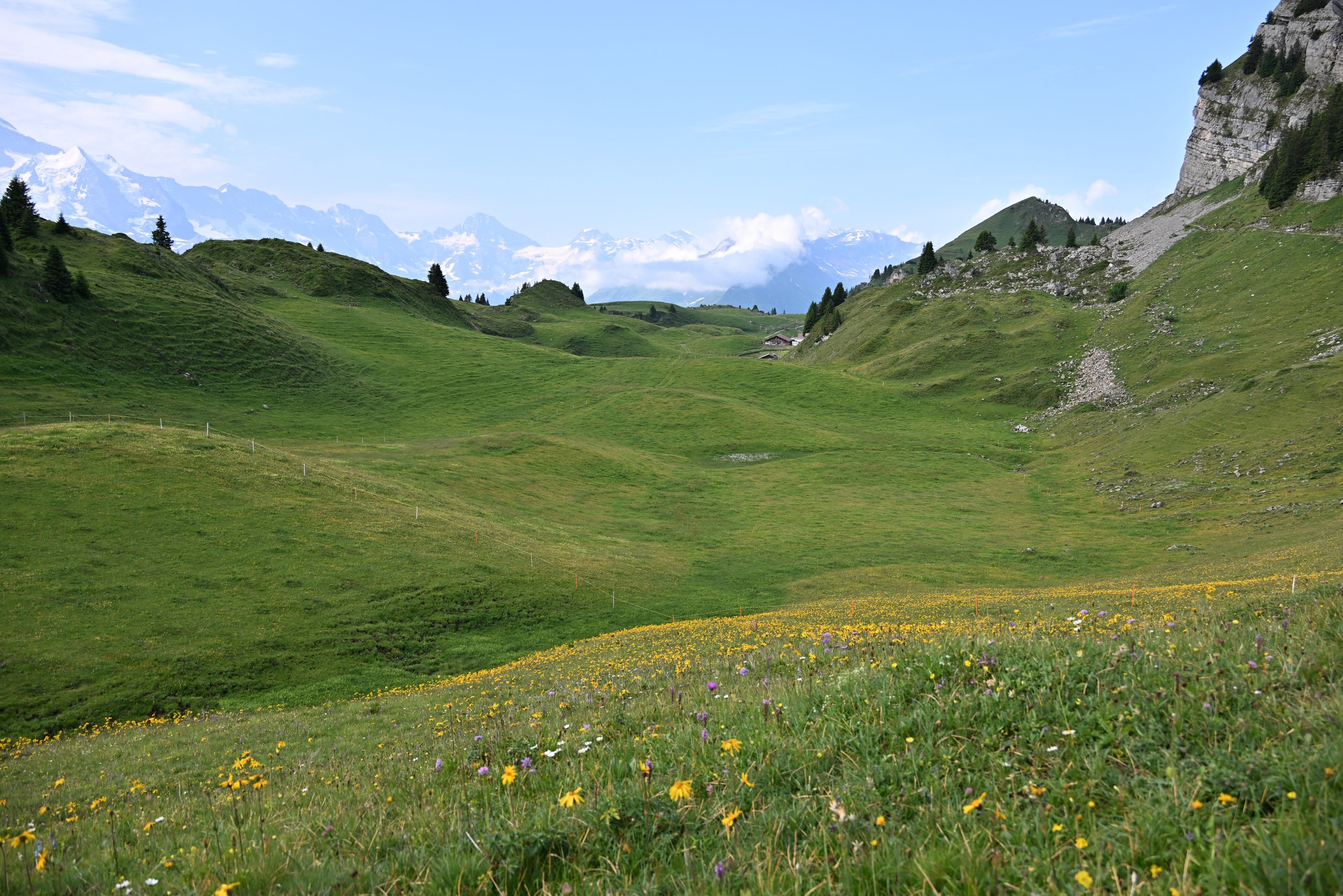
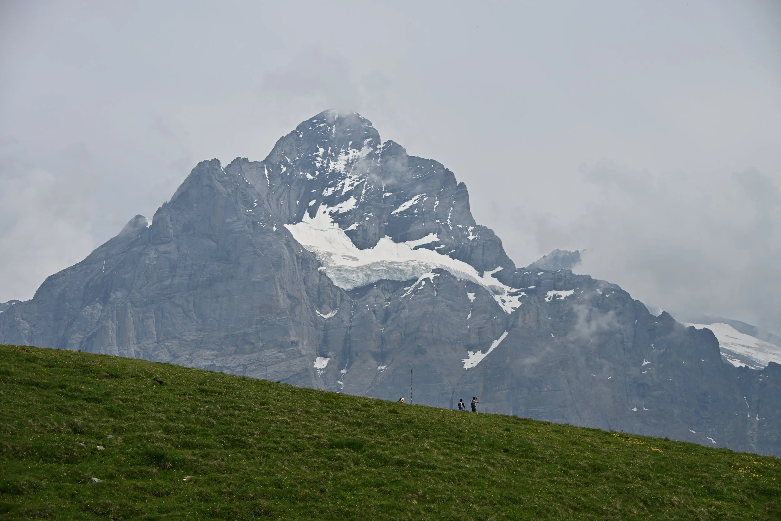
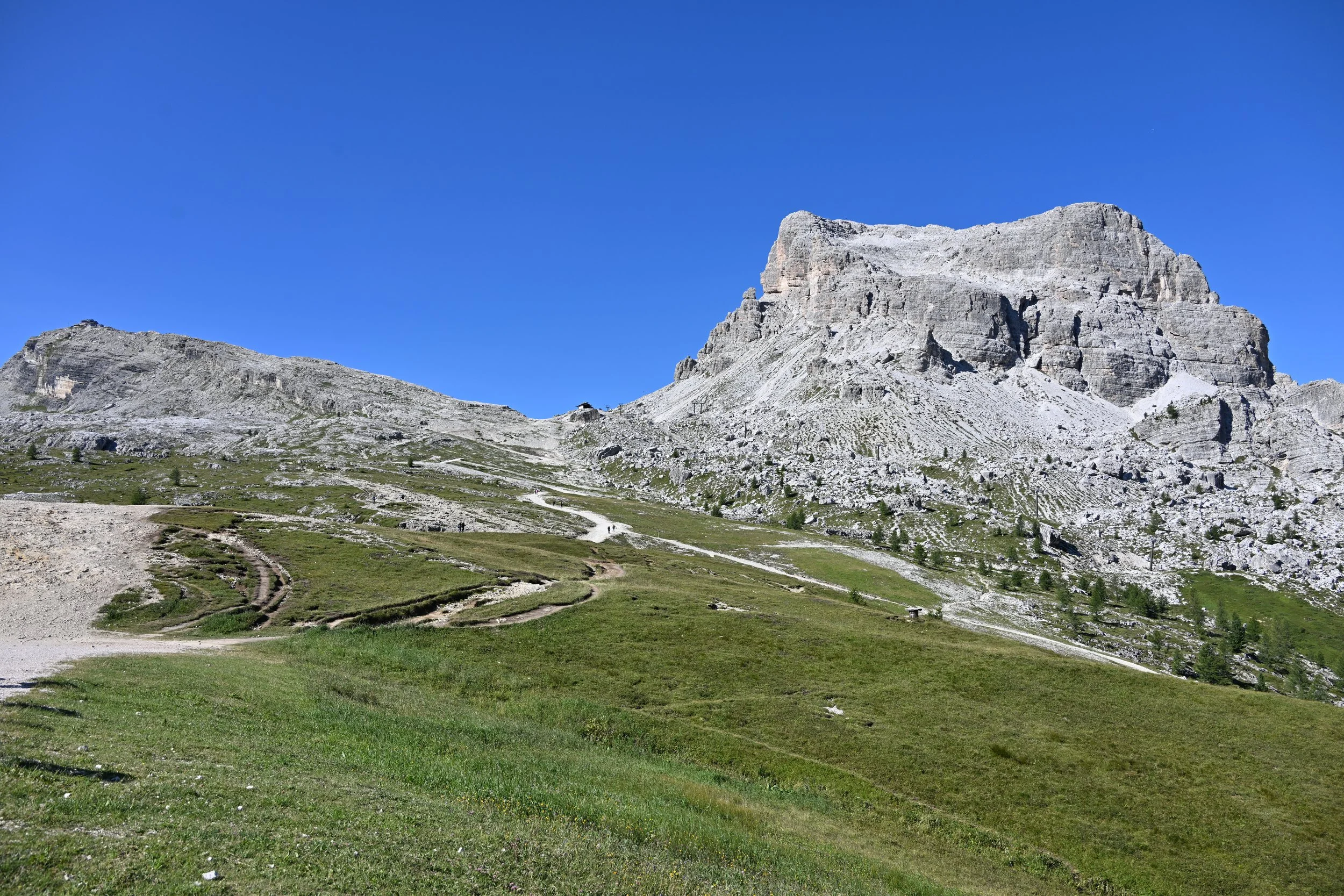
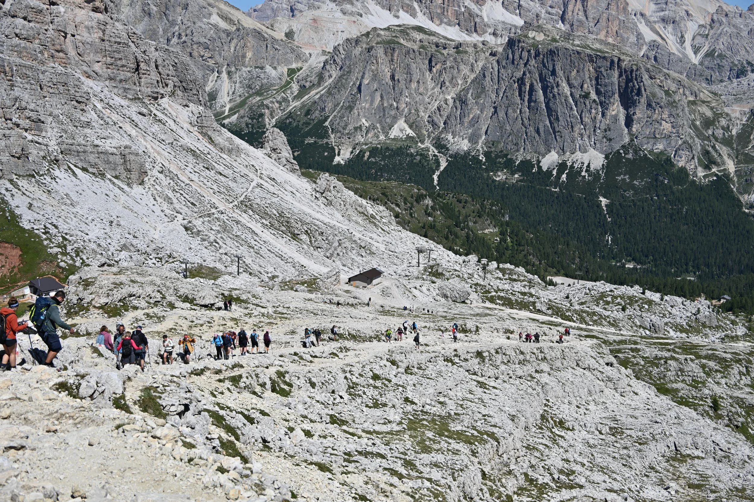
The “hiking” was just up a gravel road, basically, but the views after you crested the dip, were quite impressive and different -
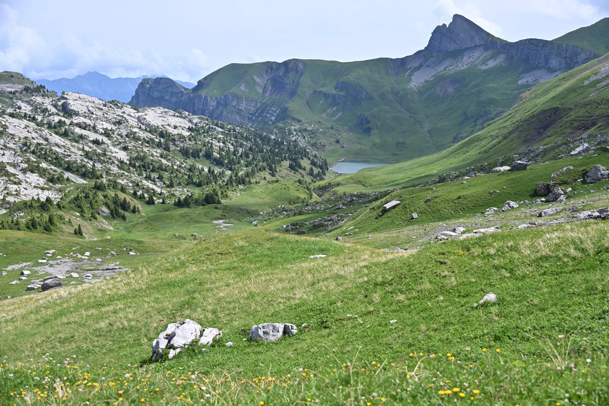
So we kept on trudging up to the second refugio…

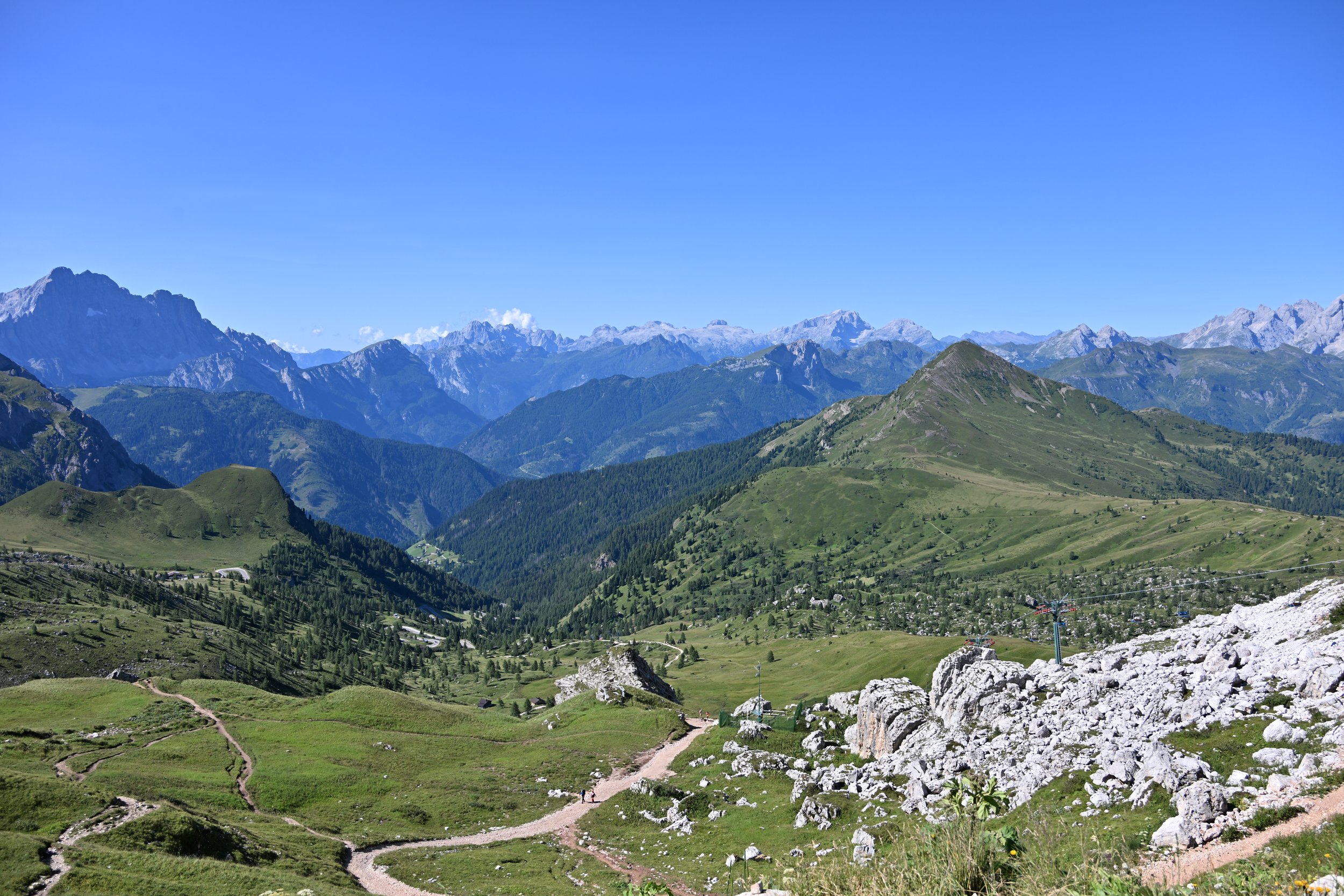
… to get even better views -
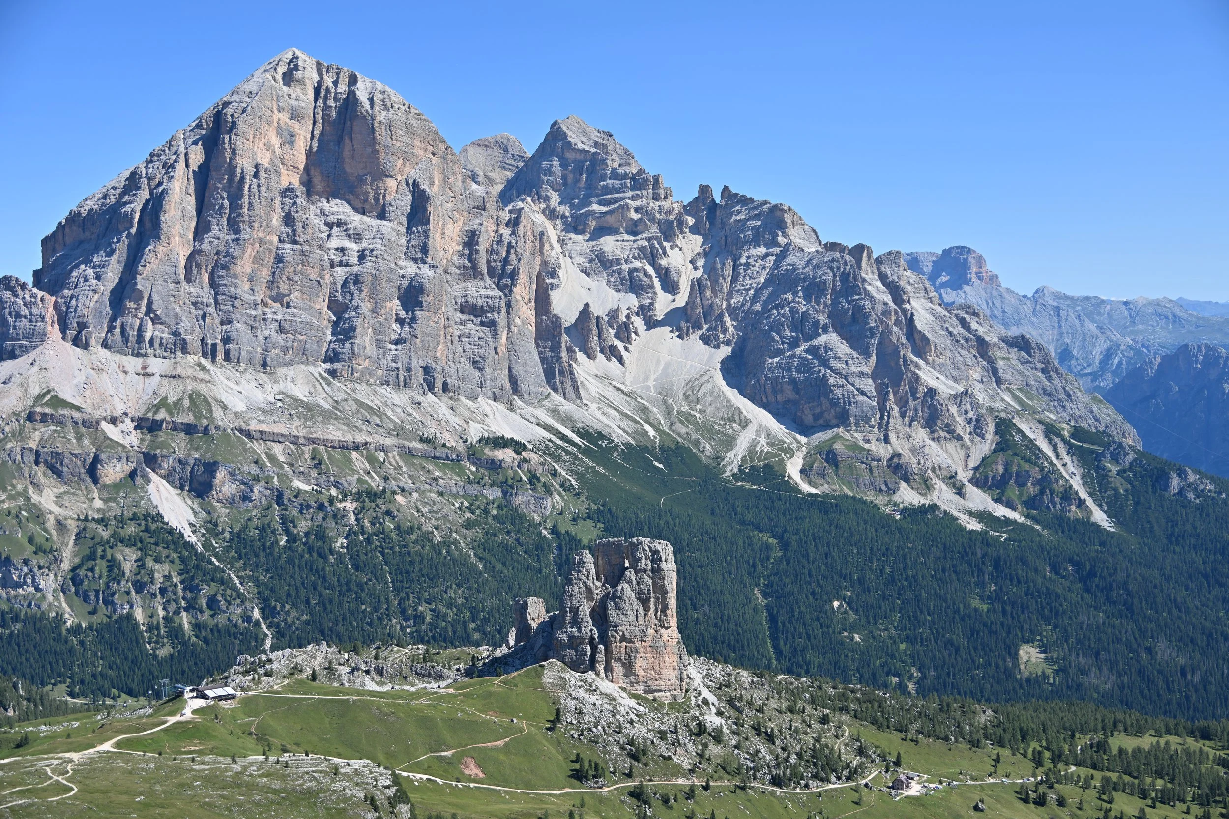
The Cinque Torri, or Five Towers, is the “smaller” rock formation with the trails around it, in the photo above. In WWI, this area served as an important command and observation post for the Italians.
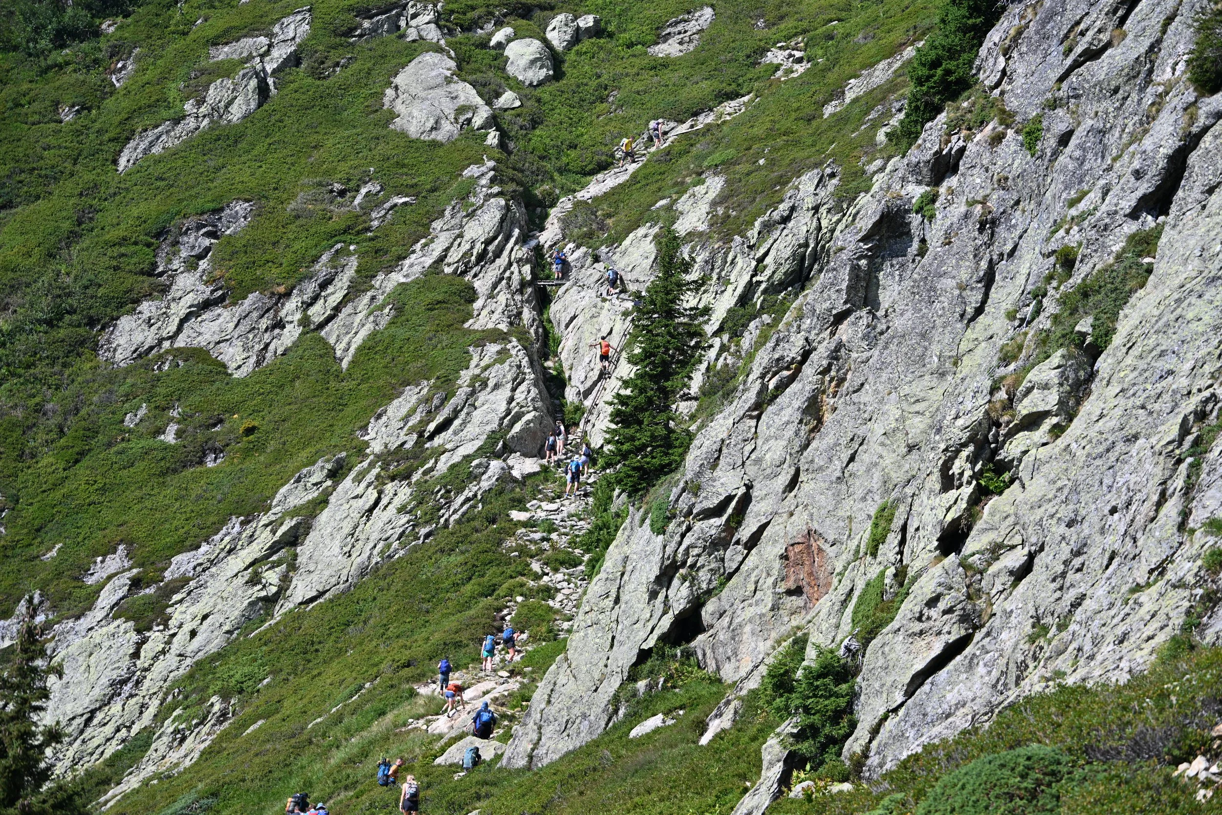
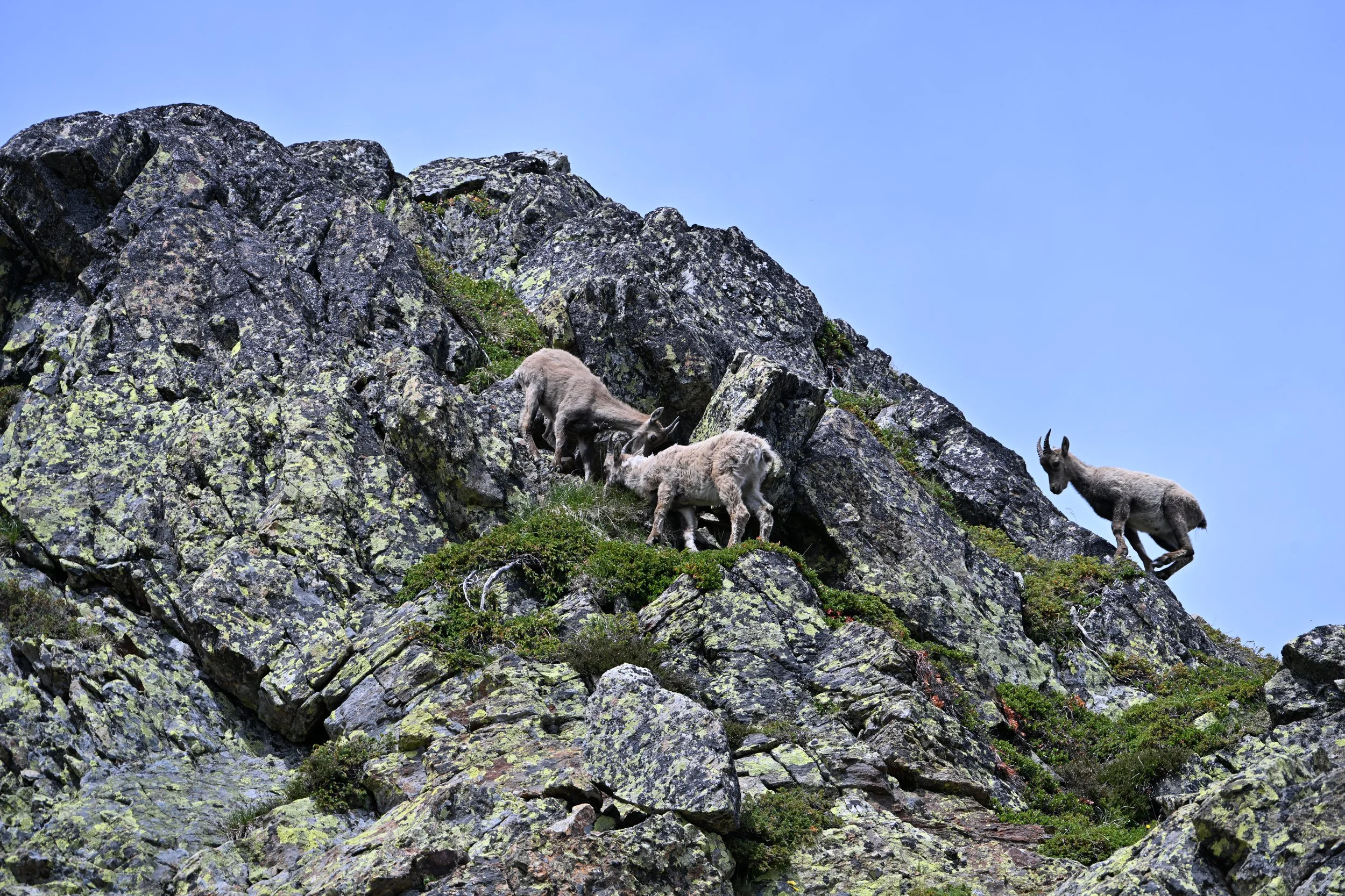
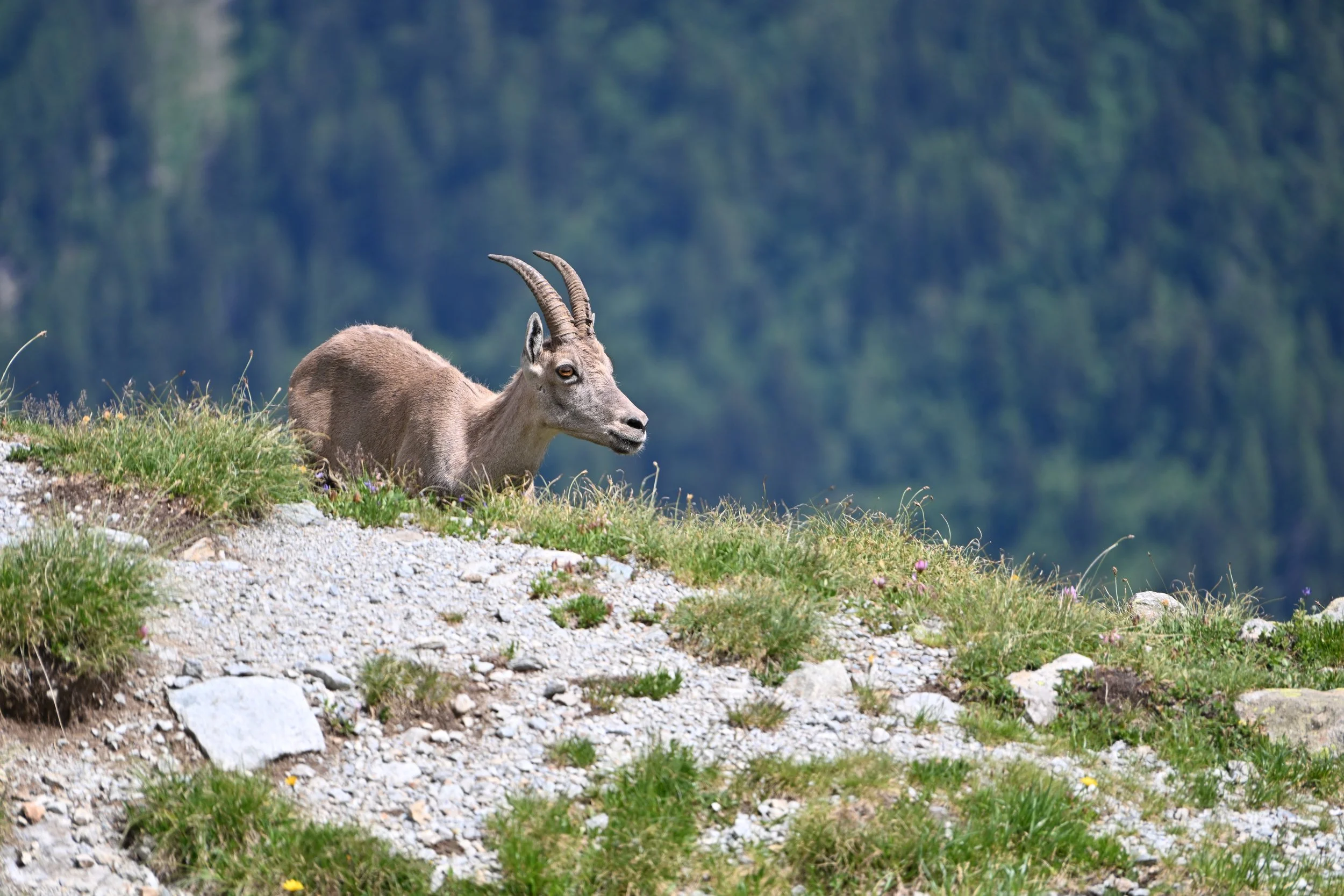
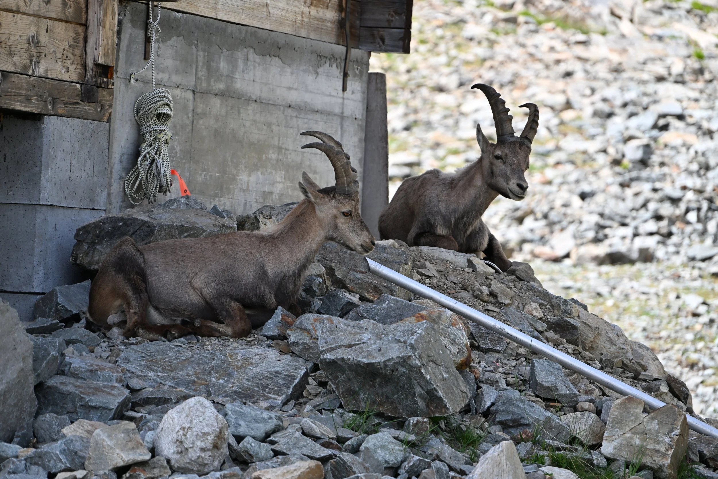
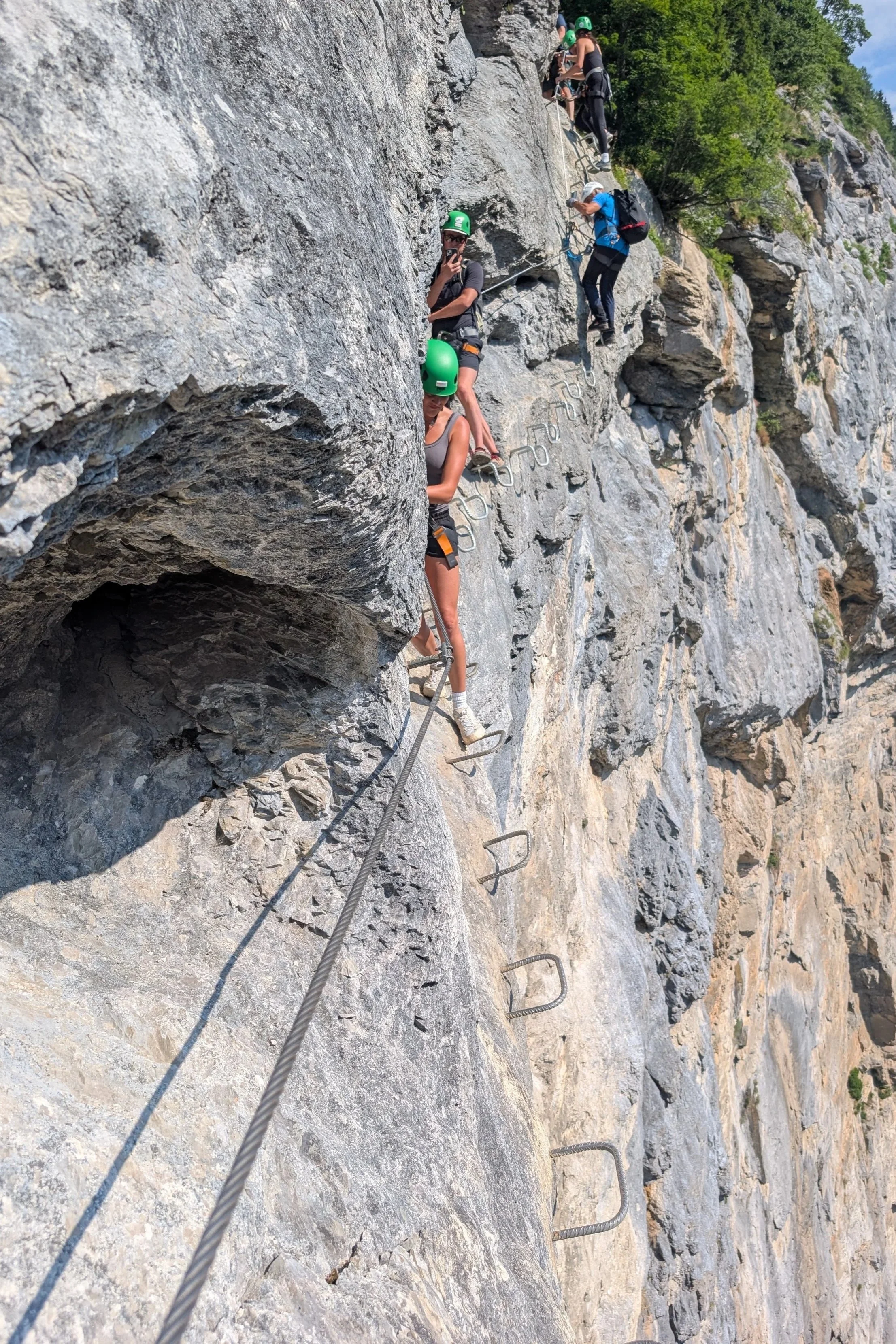
As we started down, we were reminded once again that we were visiting in the height of the tourist season -
As we approached the towers…
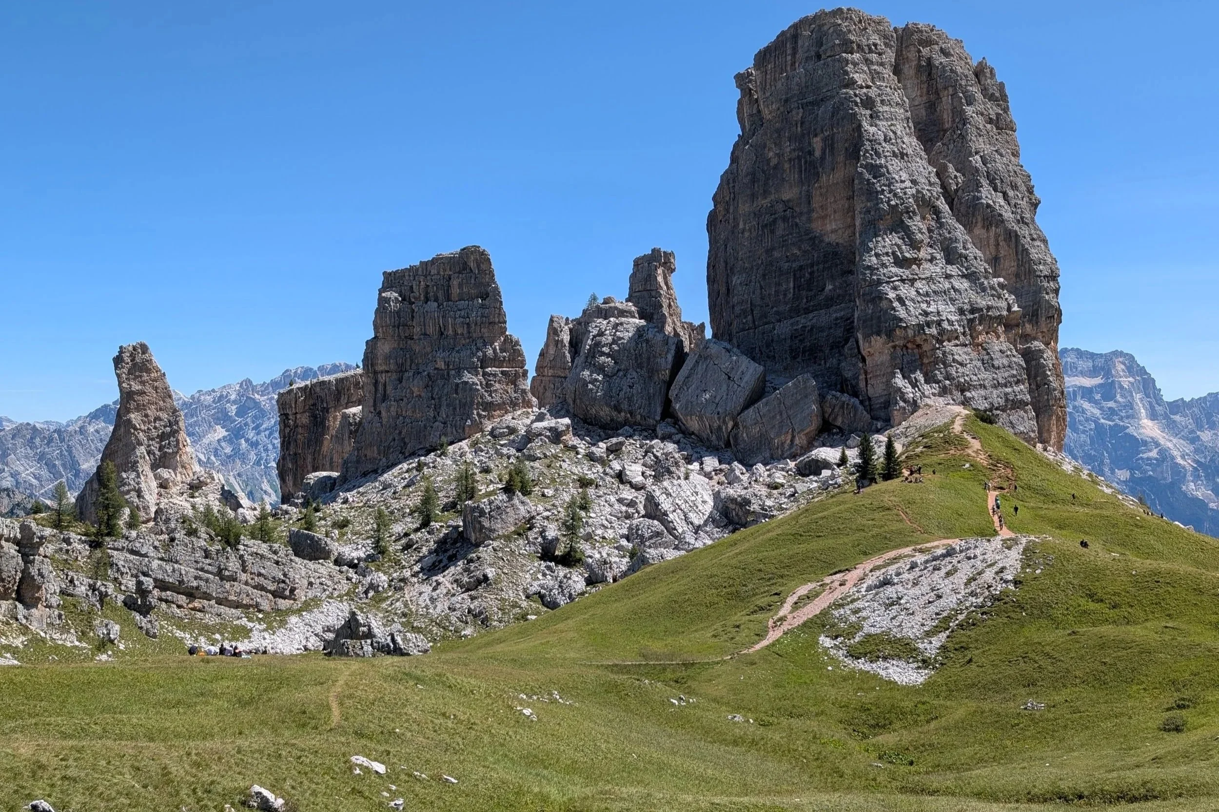
… we were quite literally driven out of the narrow passages by the hordes of people.
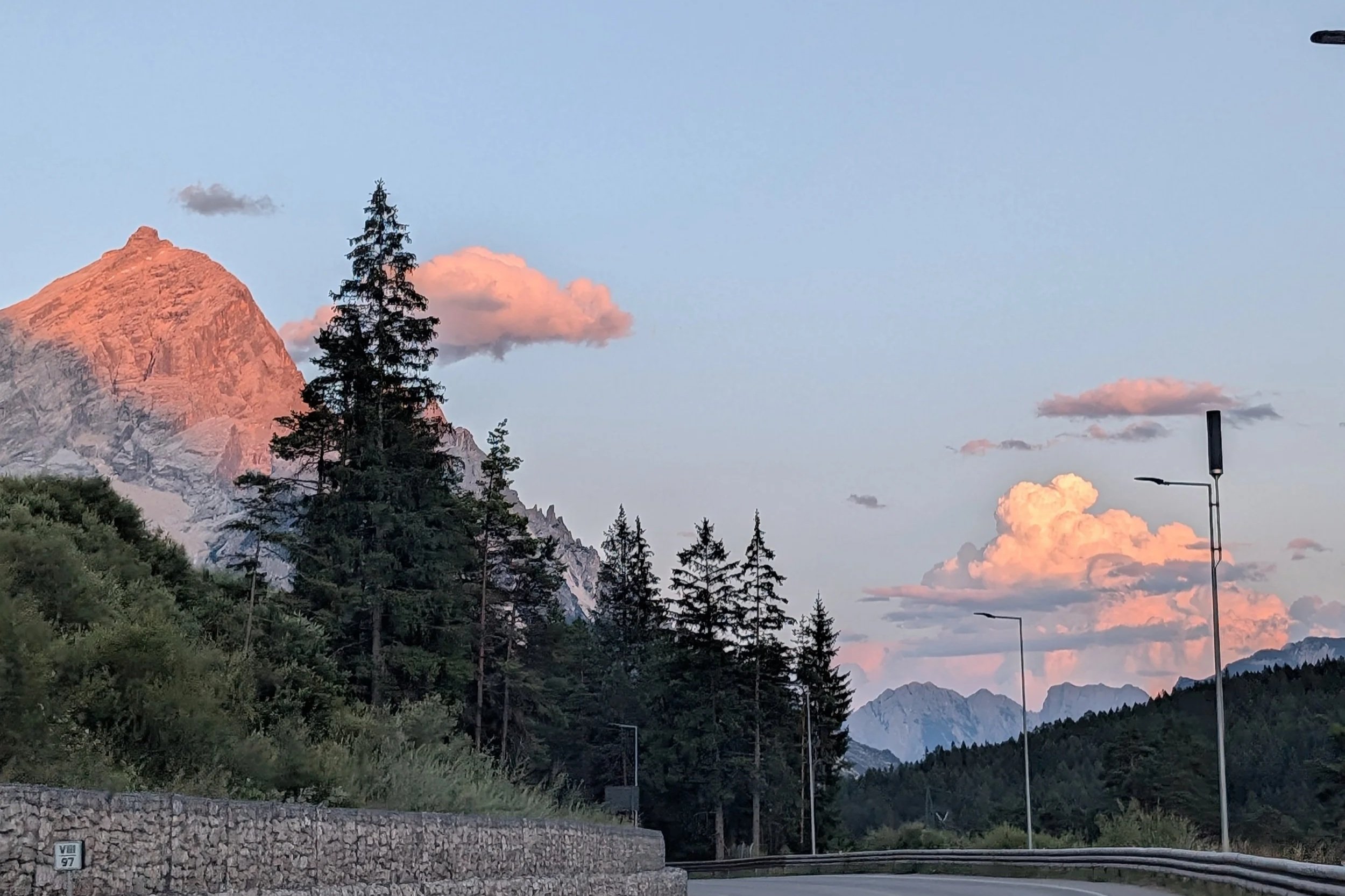
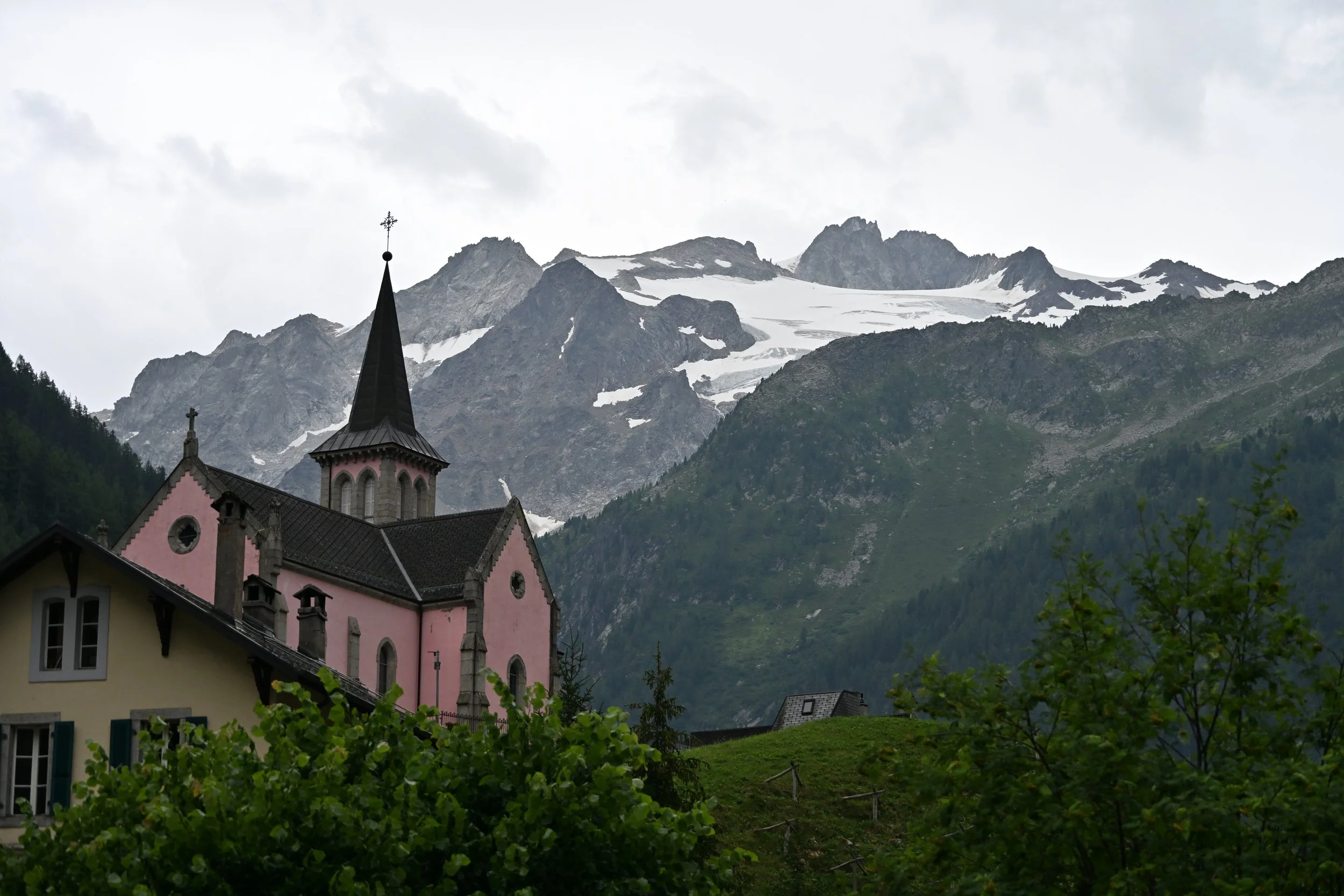
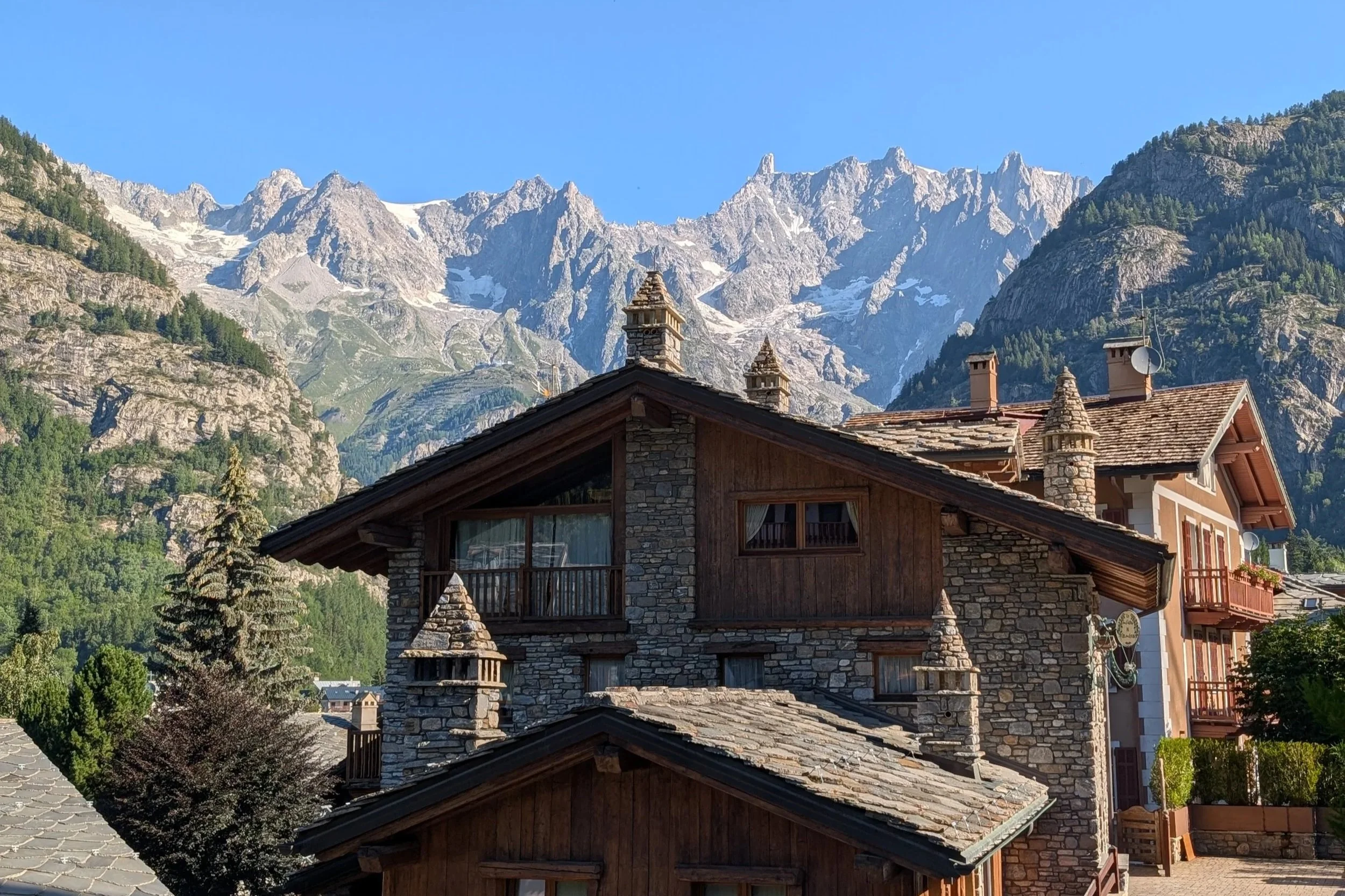
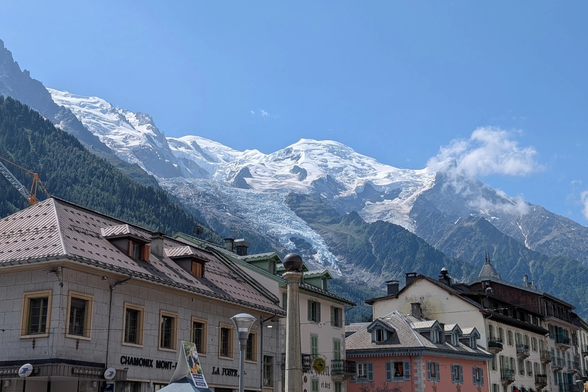
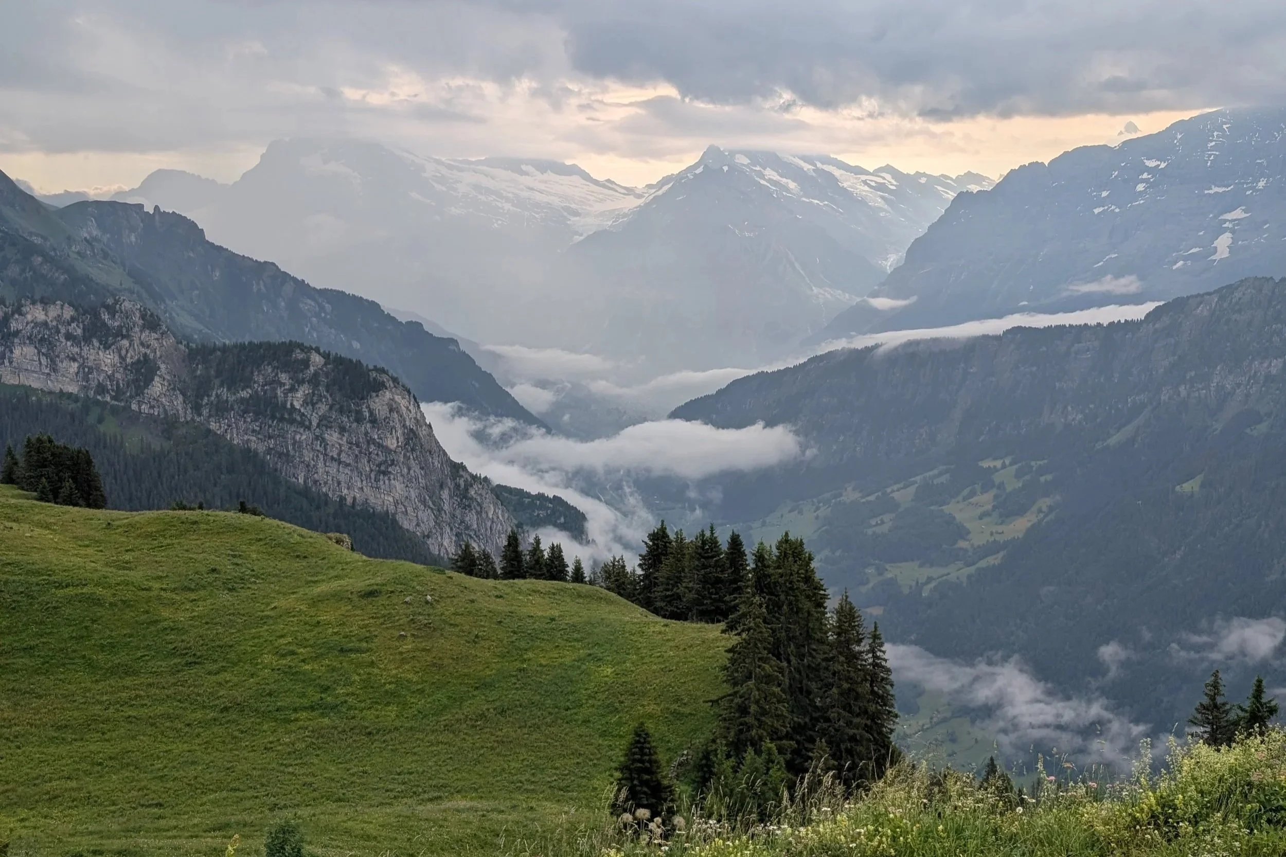
Fortunately, driving back from dinner in Cortina one evening, we were reminded that you can get great views in the Dolomites without much hiking (or exposure to lots of people) -