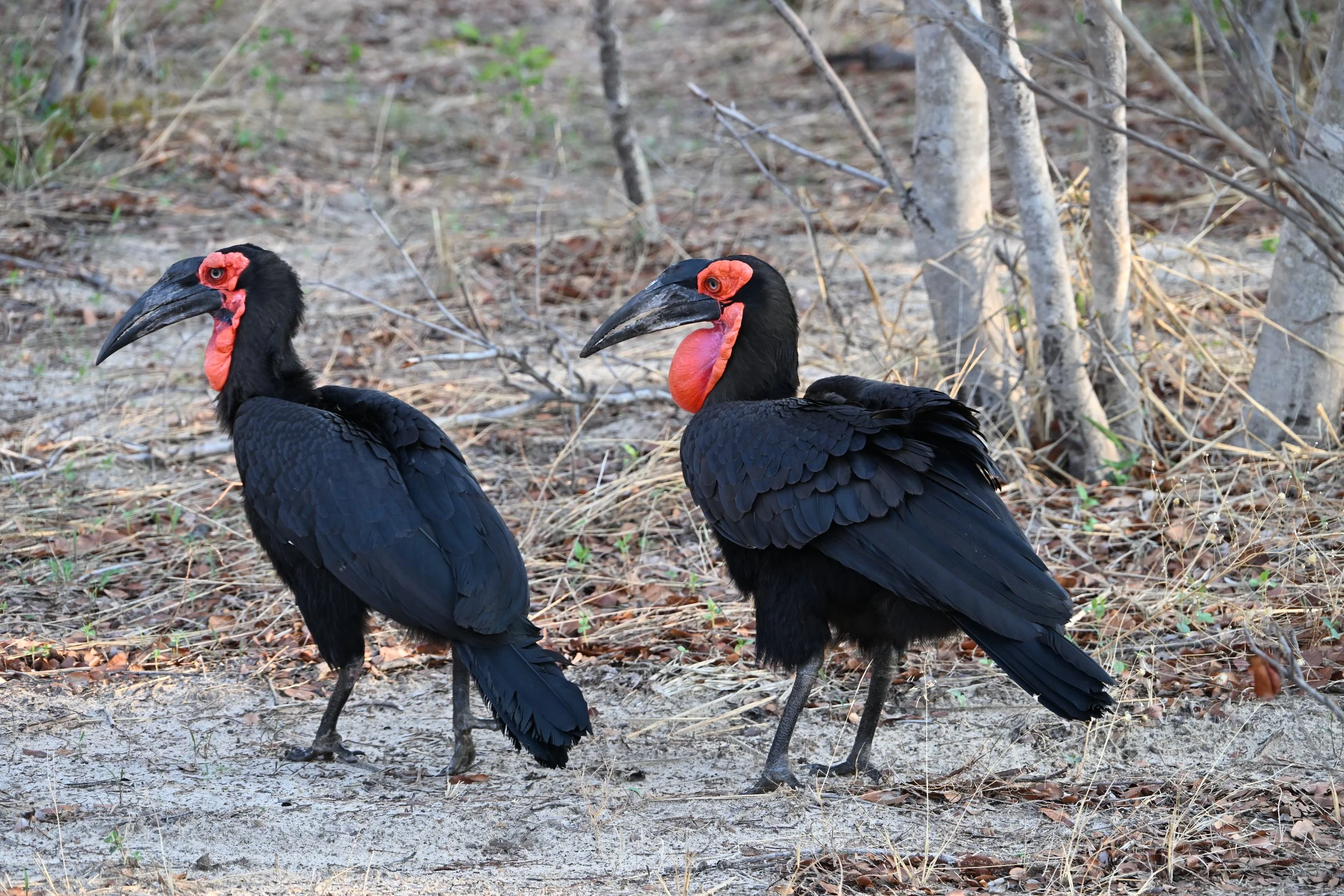
Victoria Falls, Zimbabwe
This was an absolute must on our trip through southern Africa. After visiting Niagara Falls earlier this year, we were really looking forward to seeing another of the world’s greatest waterfalls on a third continent (Iguazu Falls in South America being the first).
I like to lead off a post with a great picture, but it throws me ahead of myself in the story. ;)
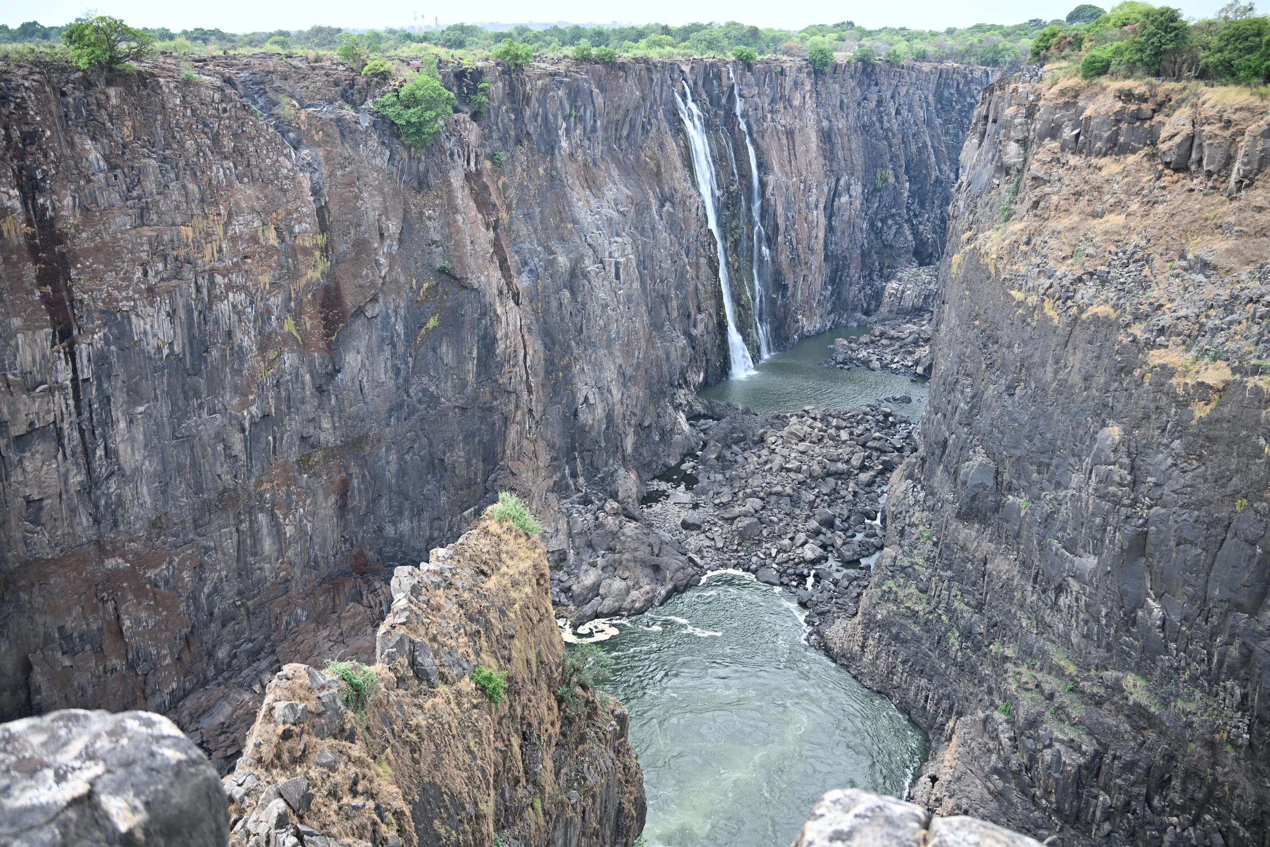
We arrived in the town of Victoria Falls on a cloudy, potentially rainy afternoon. We decided to visit the falls that day, as it was also predicted to be raining the next. Our first glimpse of Victoria Falls was rather underwhelming -
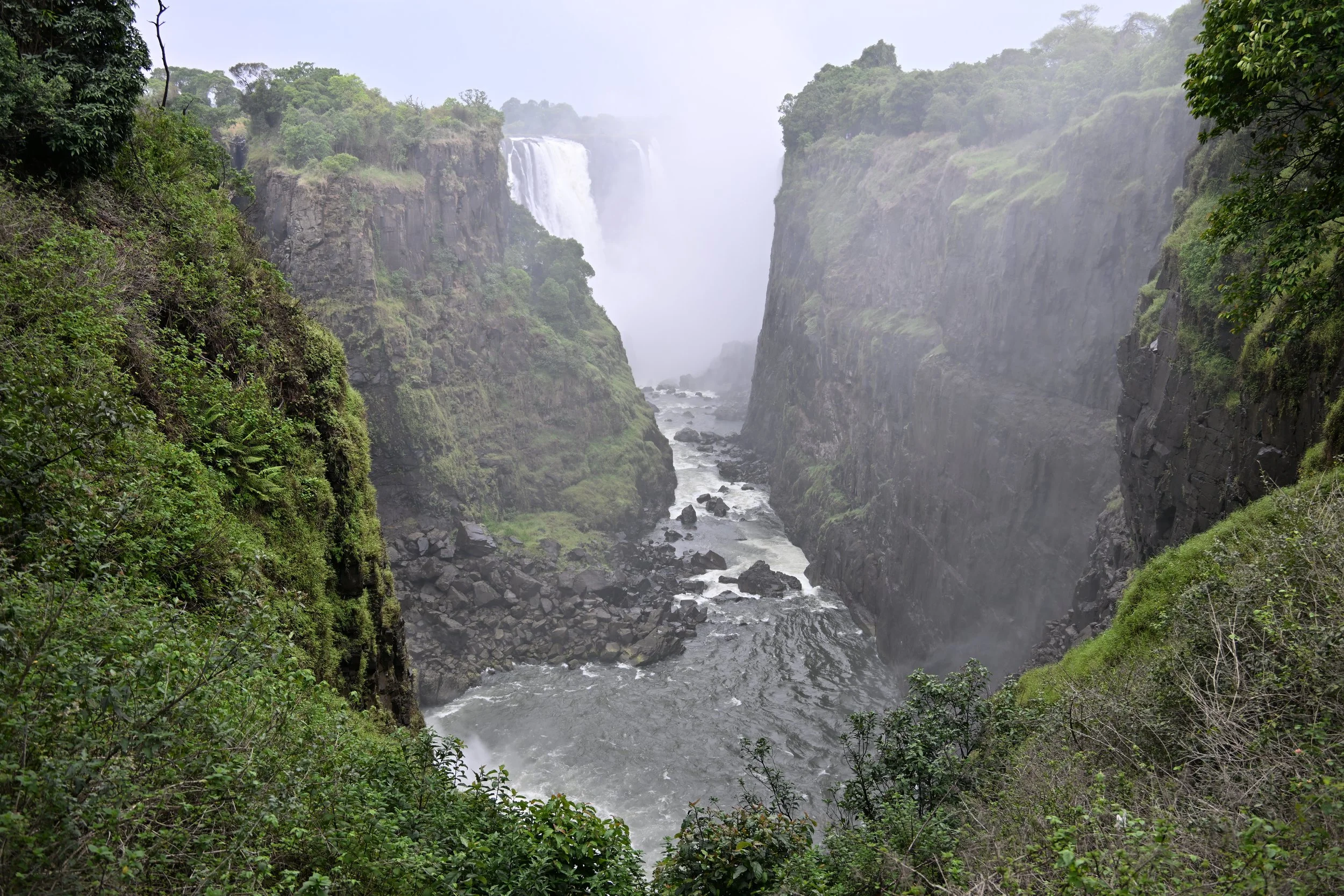
This first viewpoint was at the end of the canyon that contains the falls, and the overcast and mist created a gloomy atmosphere.
As we walked along the path…

… we reached different views, like the Devil’s Cataract -
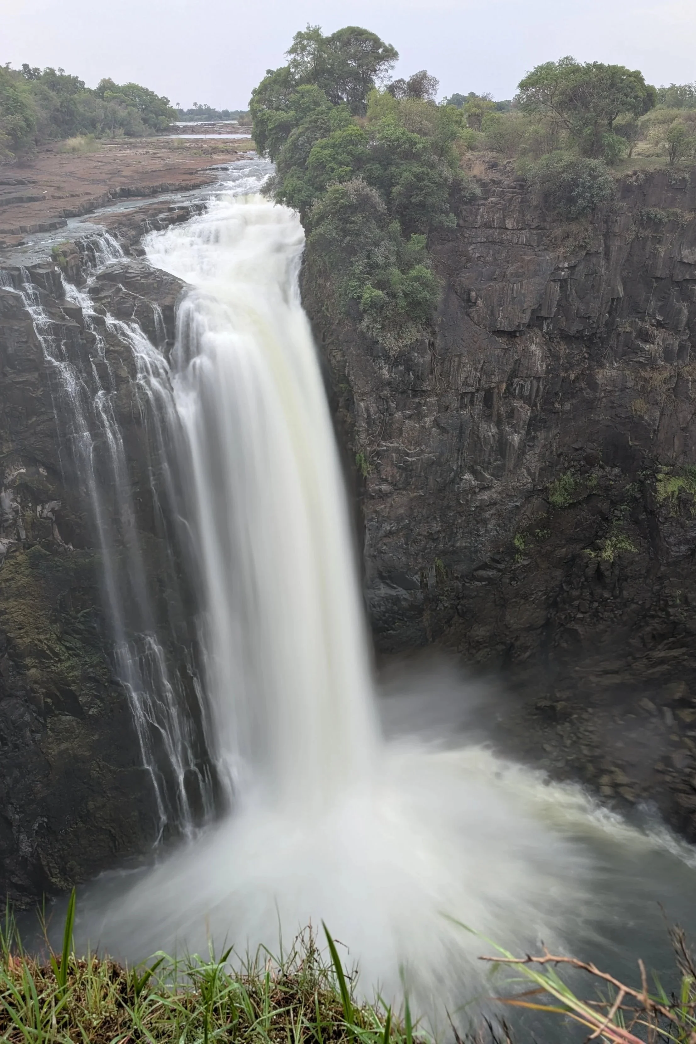
… and the main falls -
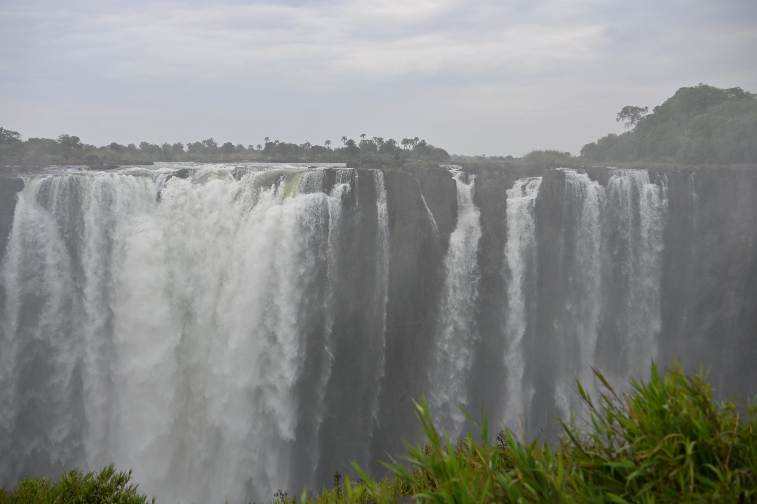
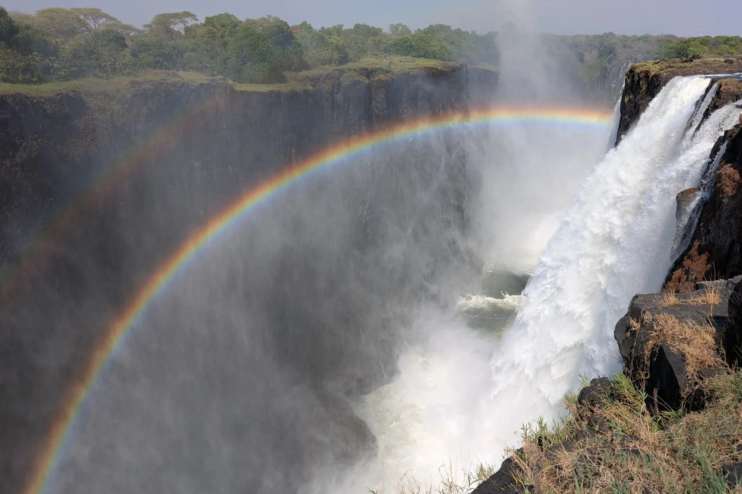
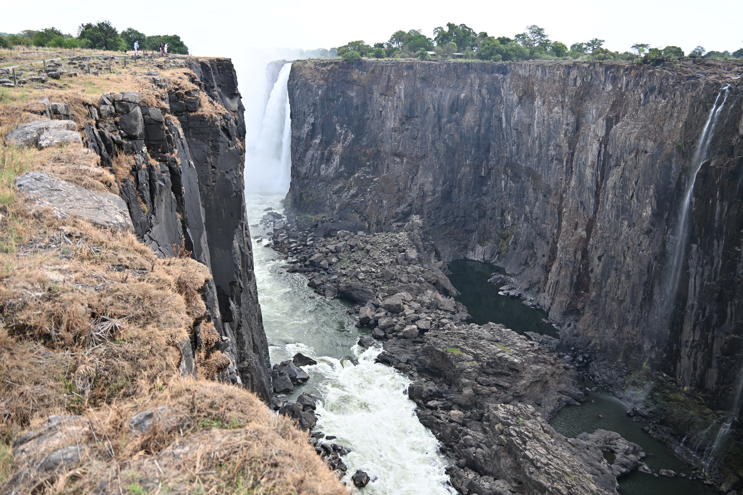
As we passed further along the canyon, we were able to get away from the mist and see clearer views -
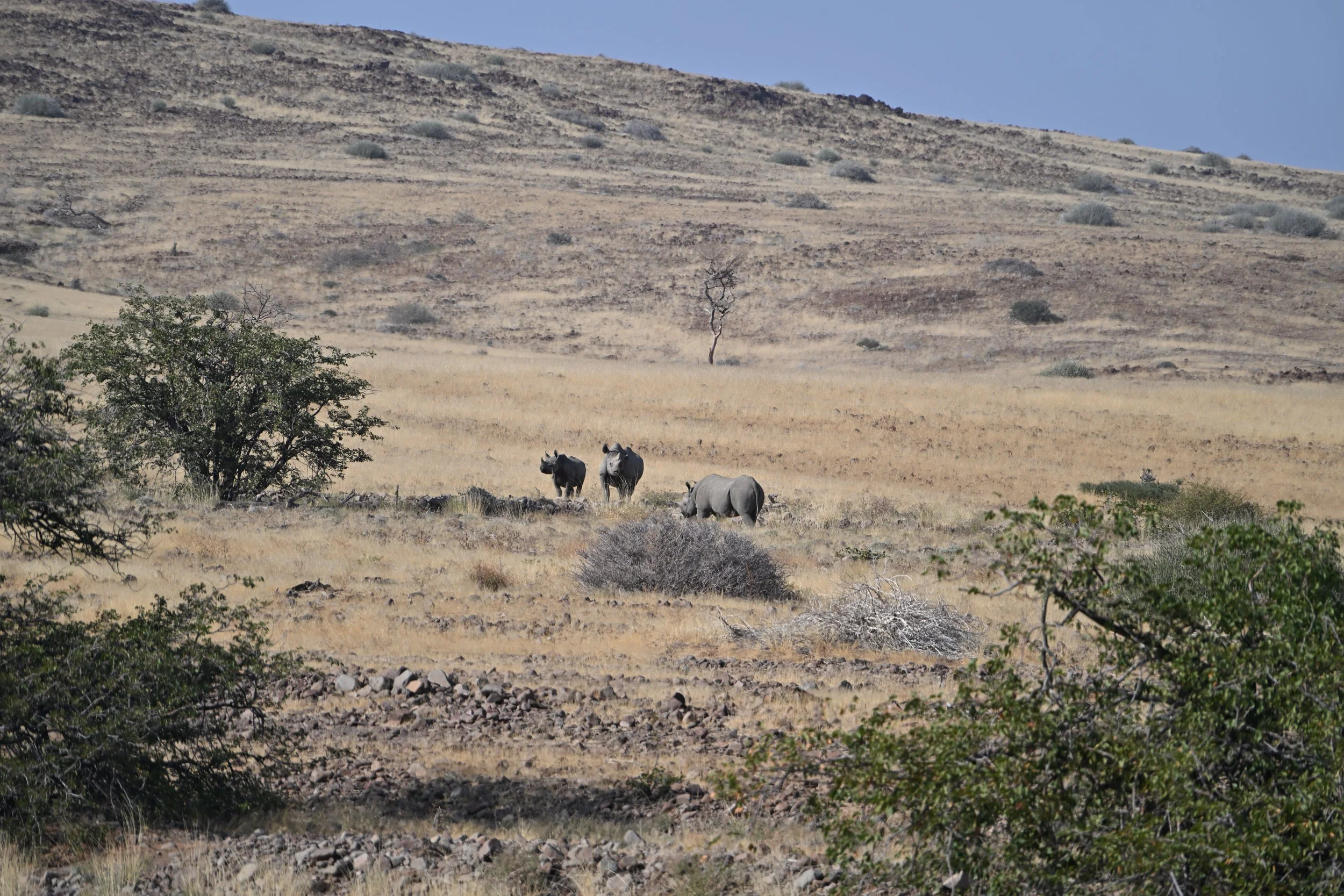
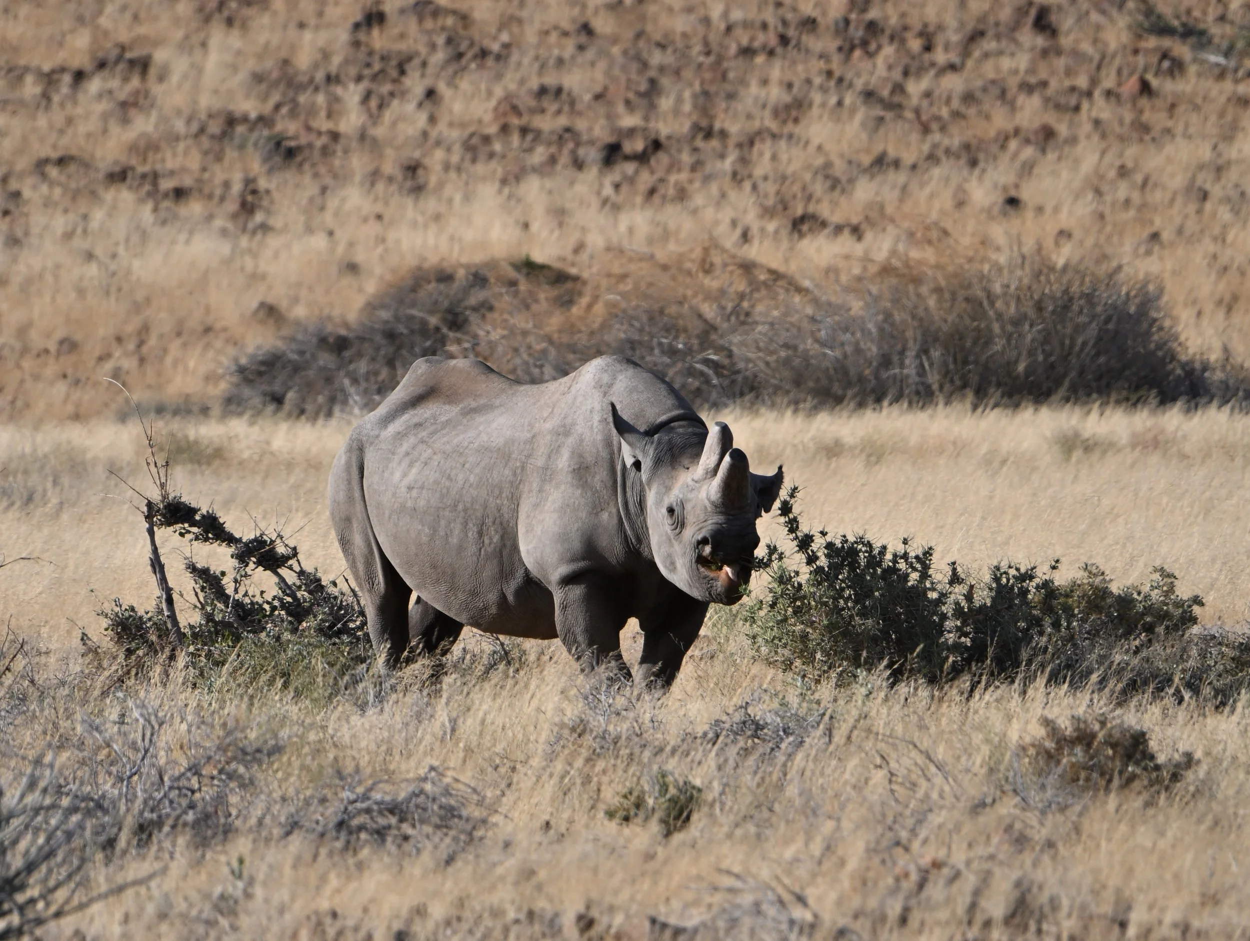
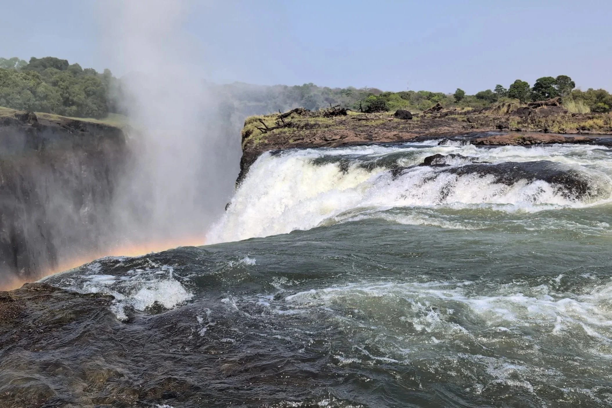
As you can see, there are a lot of rock edges visible, as we were there in early November (the end of dry season). Thus for us, this visit to see “the world’s largest waterfall” (1 mile wide and 350 ft high) was a bit disappointing -
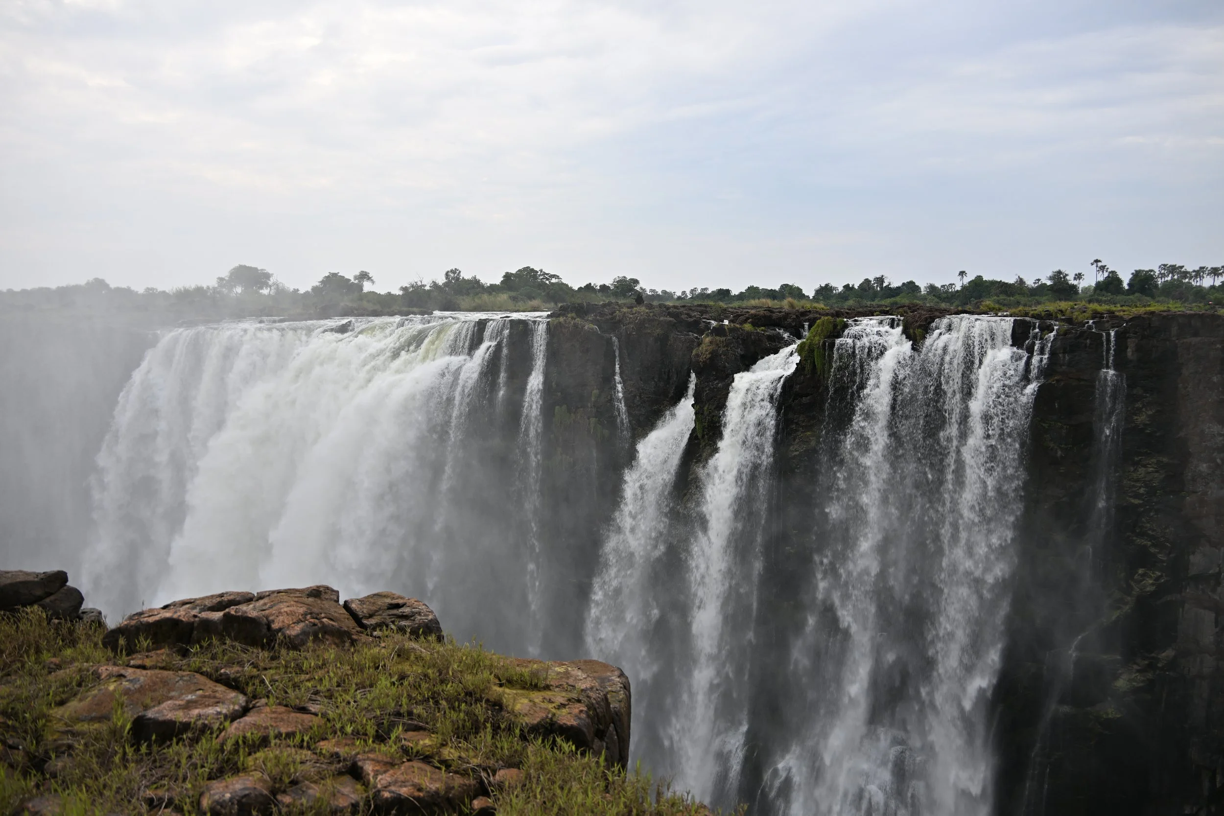
The picture above is showing the Zambia end of the falls. At high flow, that entire wall is covered with falls. The next picture shows where Horseshoe Falls would be (along the right wall where it bows away from the river) -
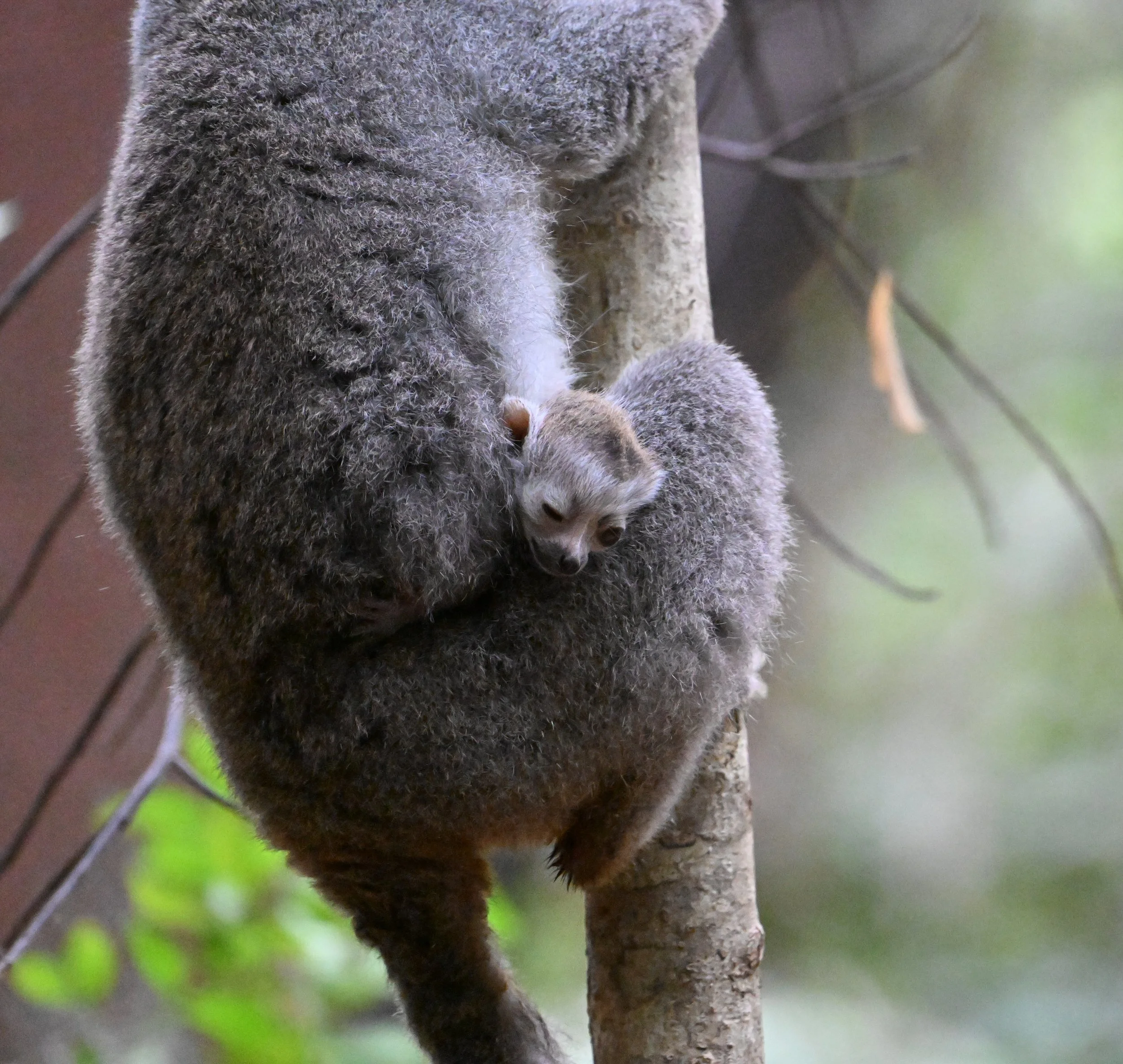
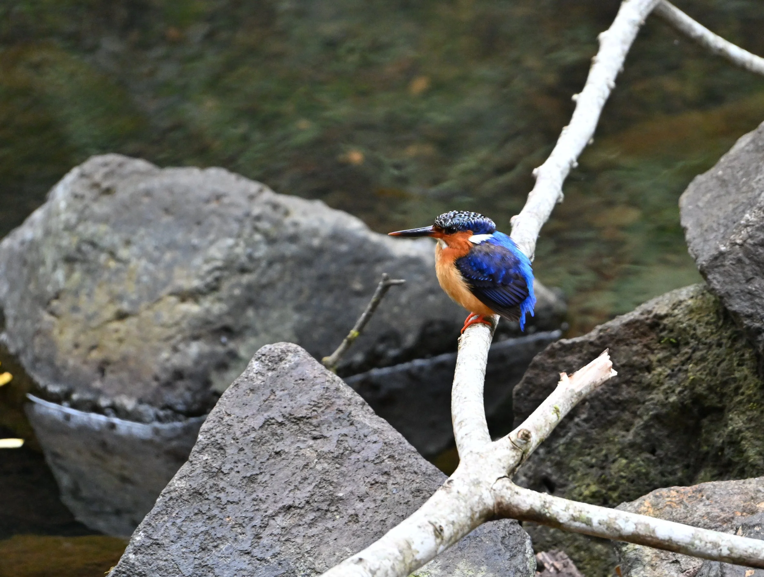
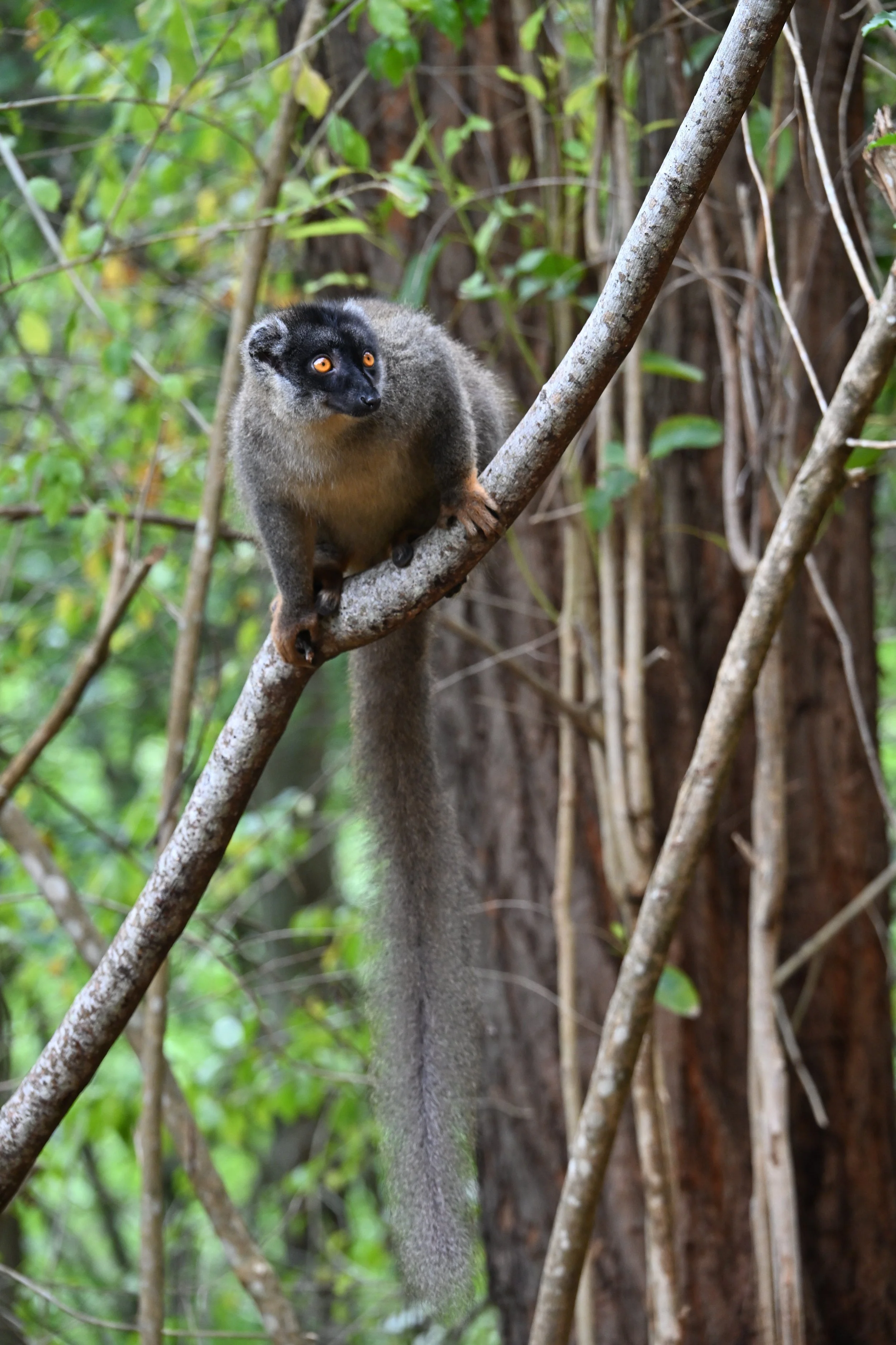
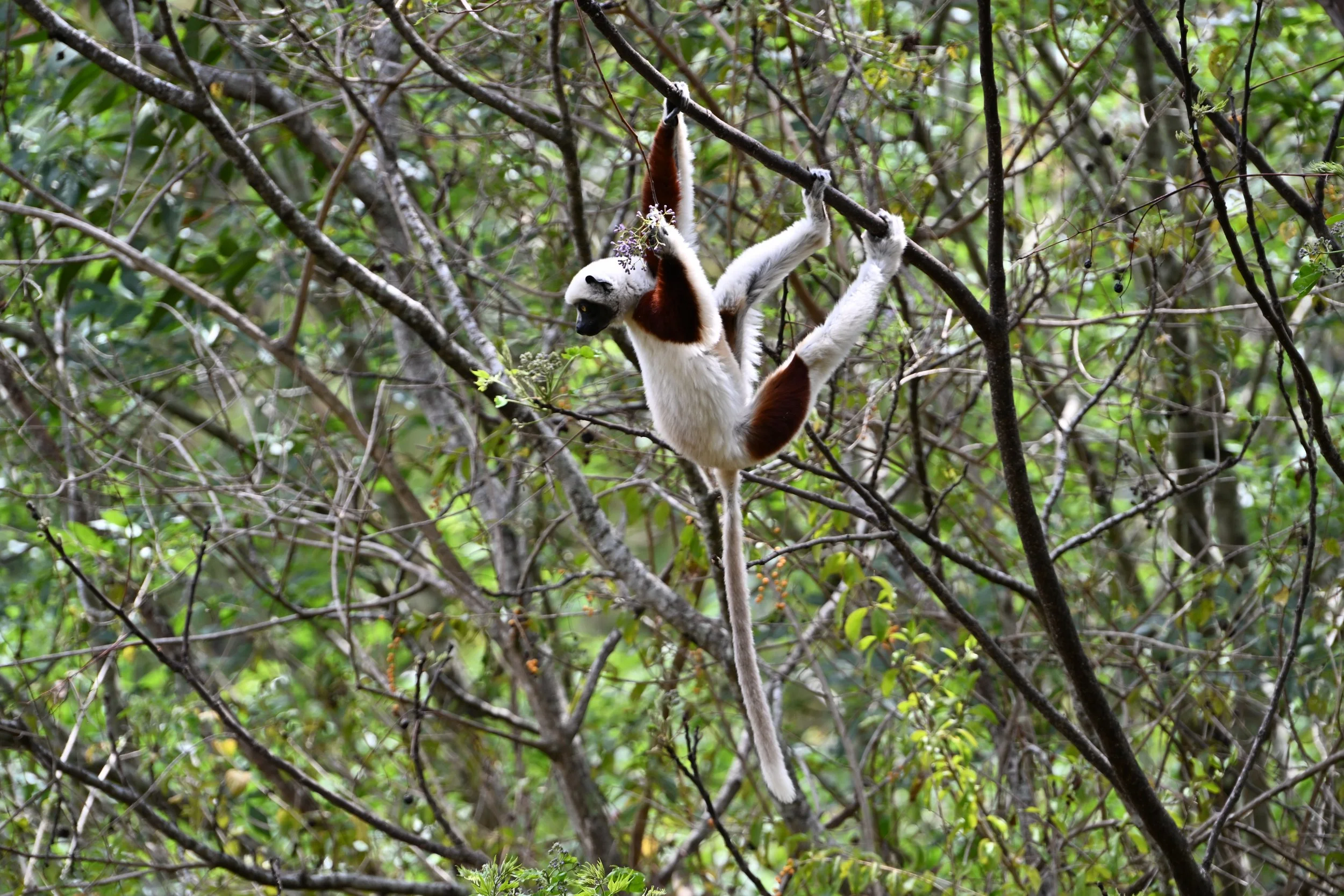
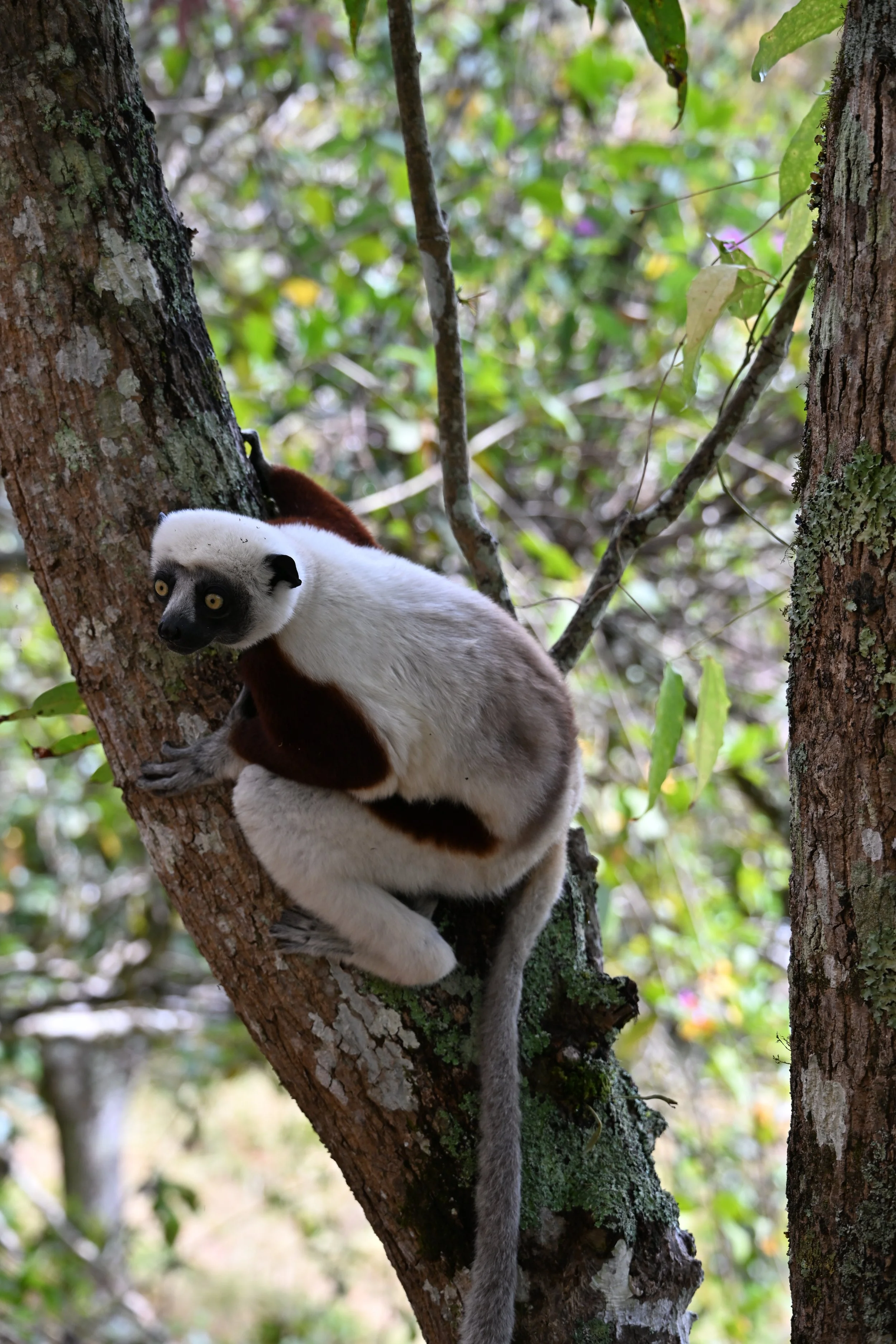
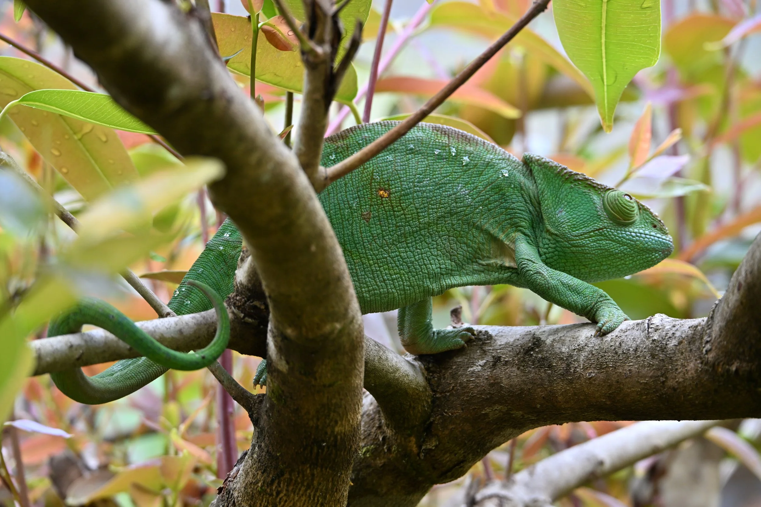
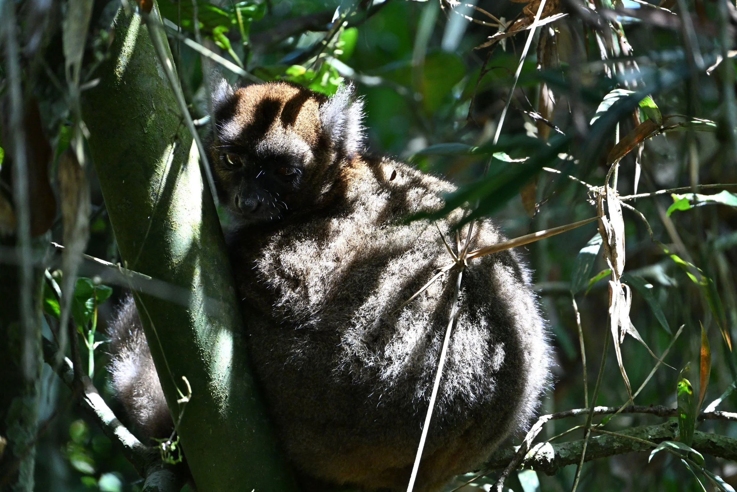
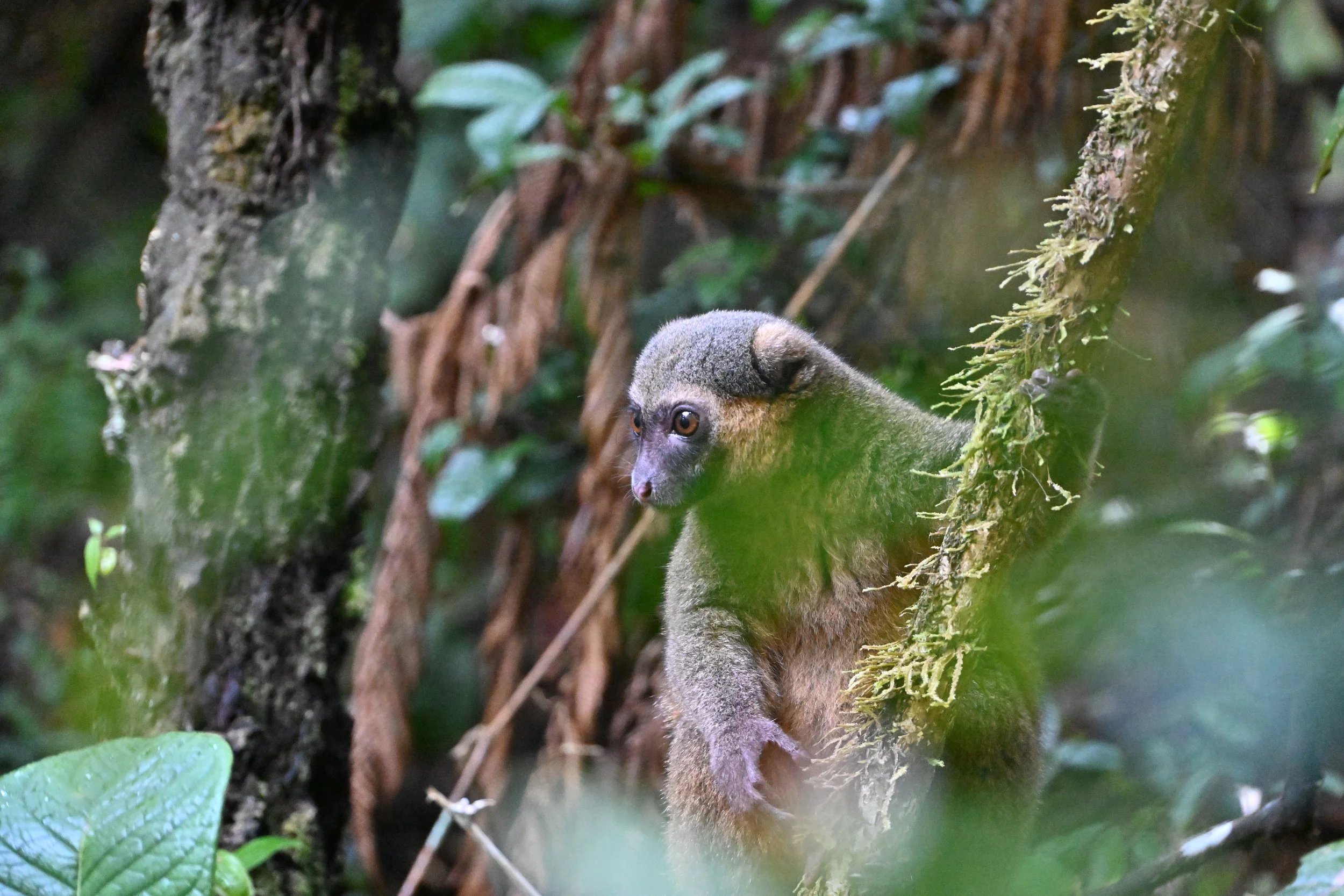
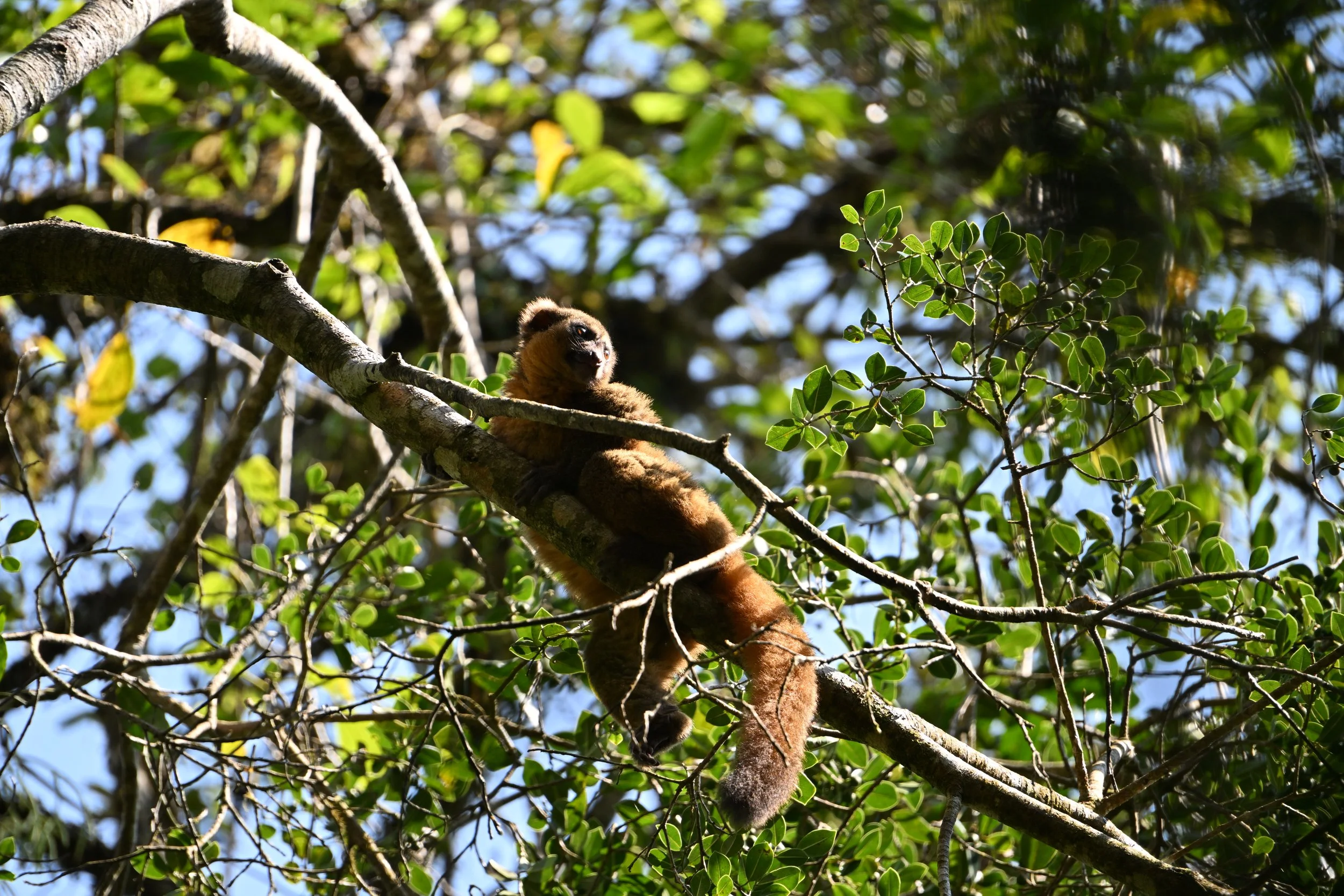
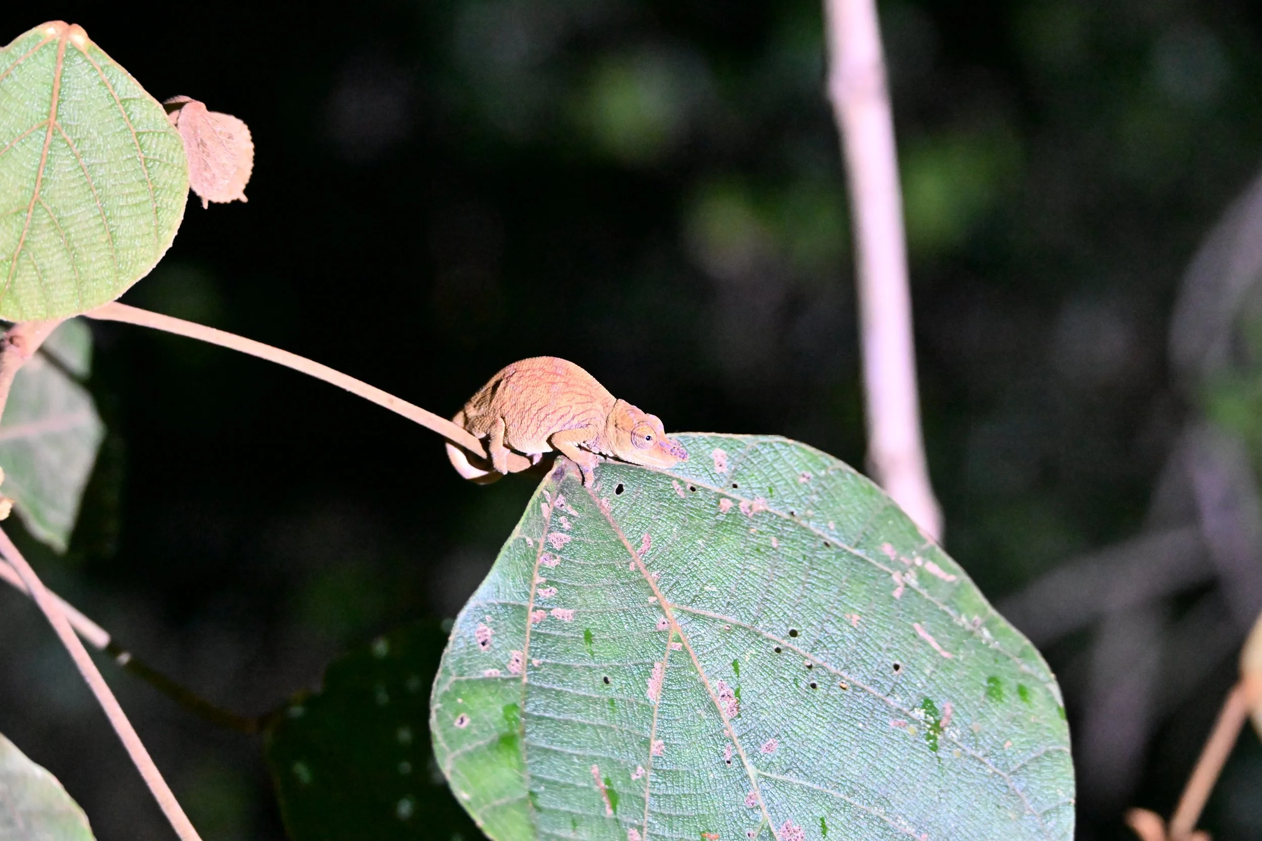
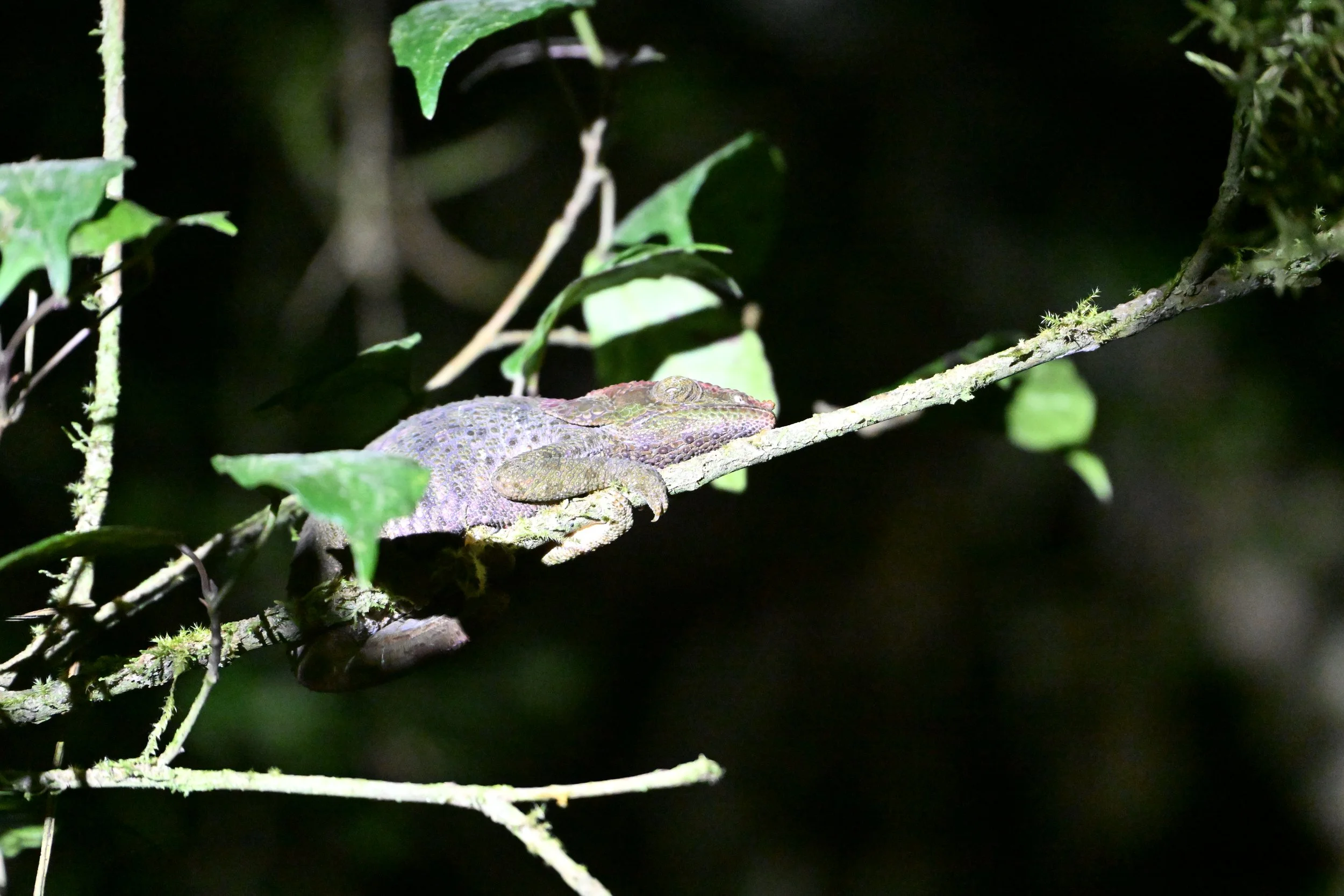
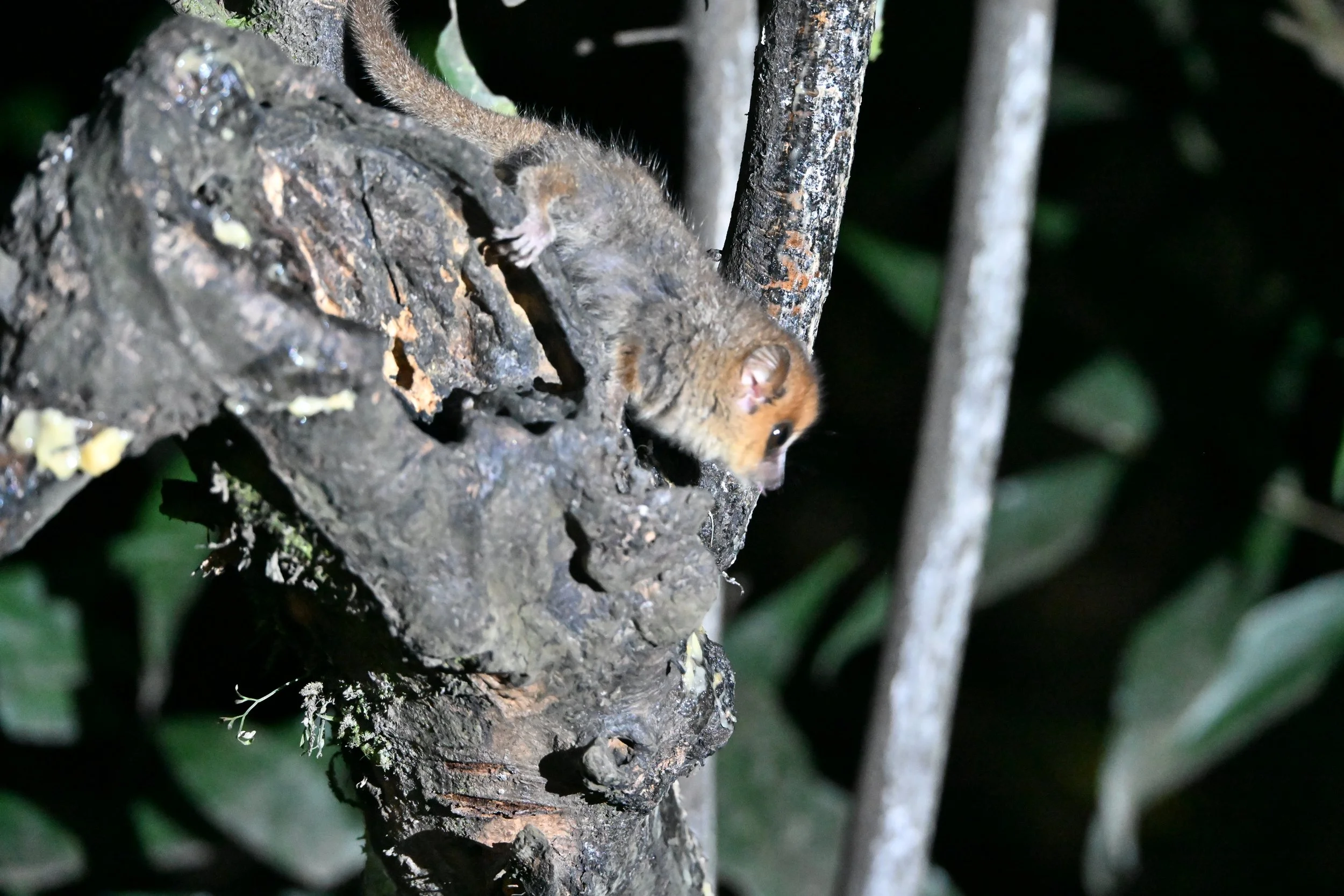
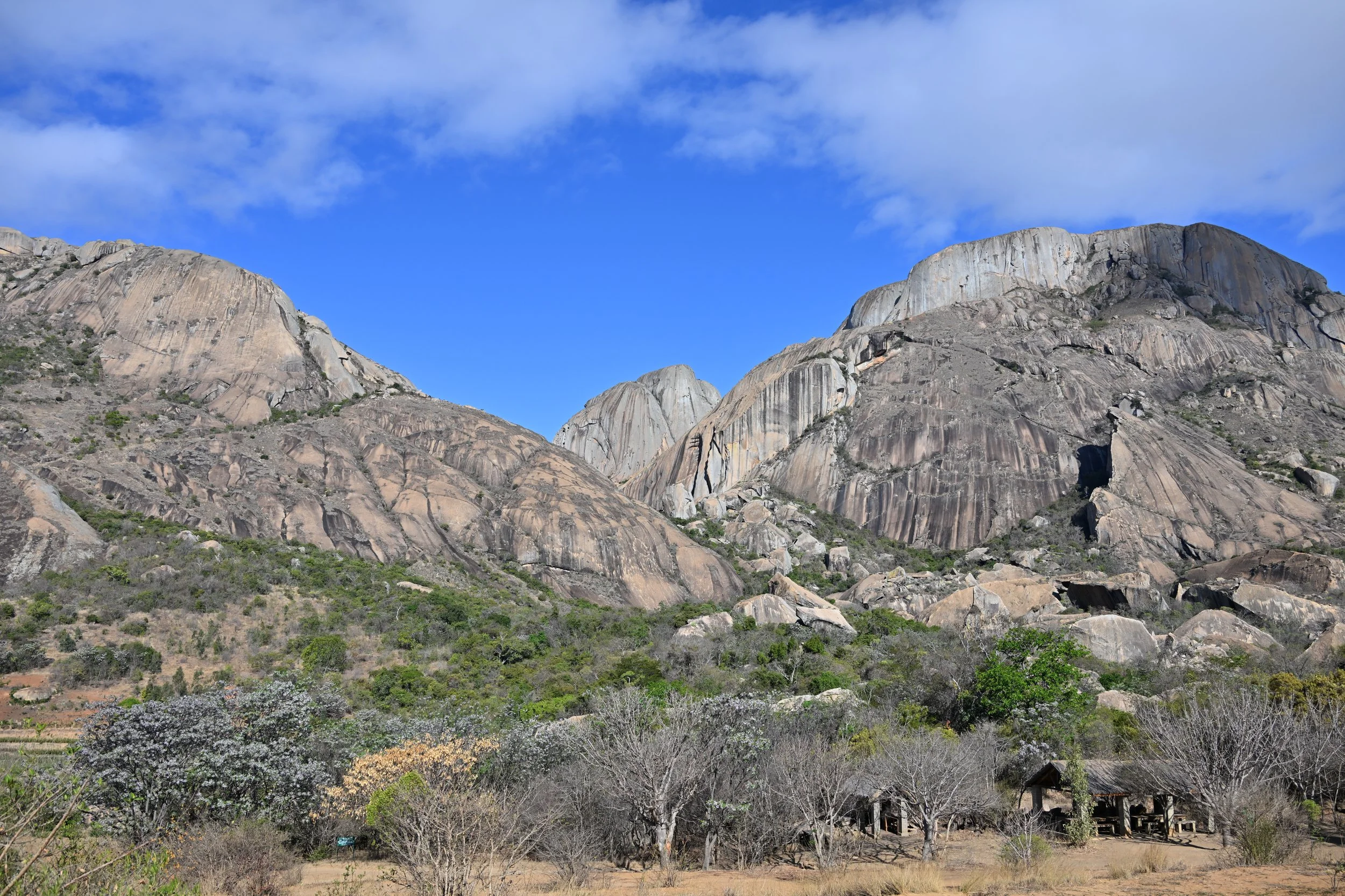
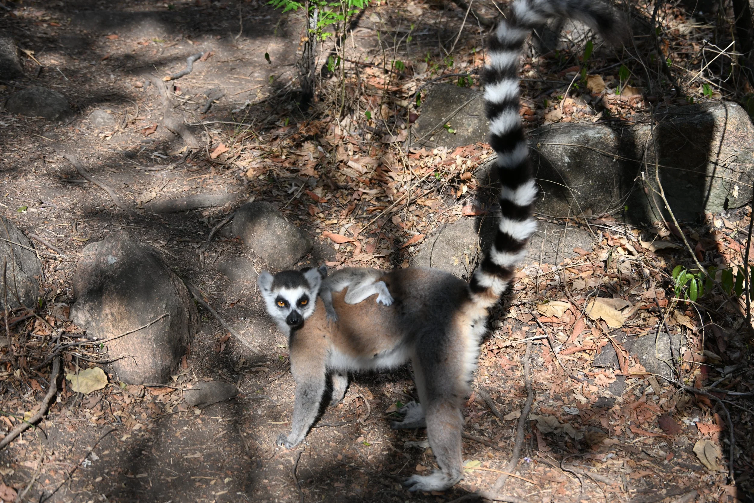
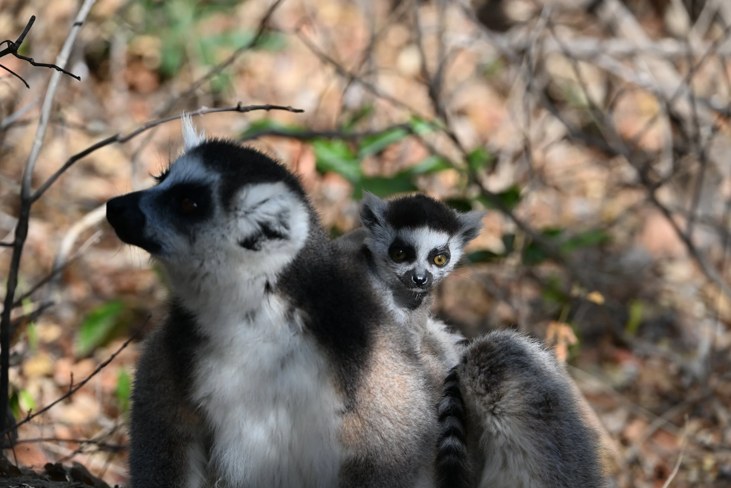
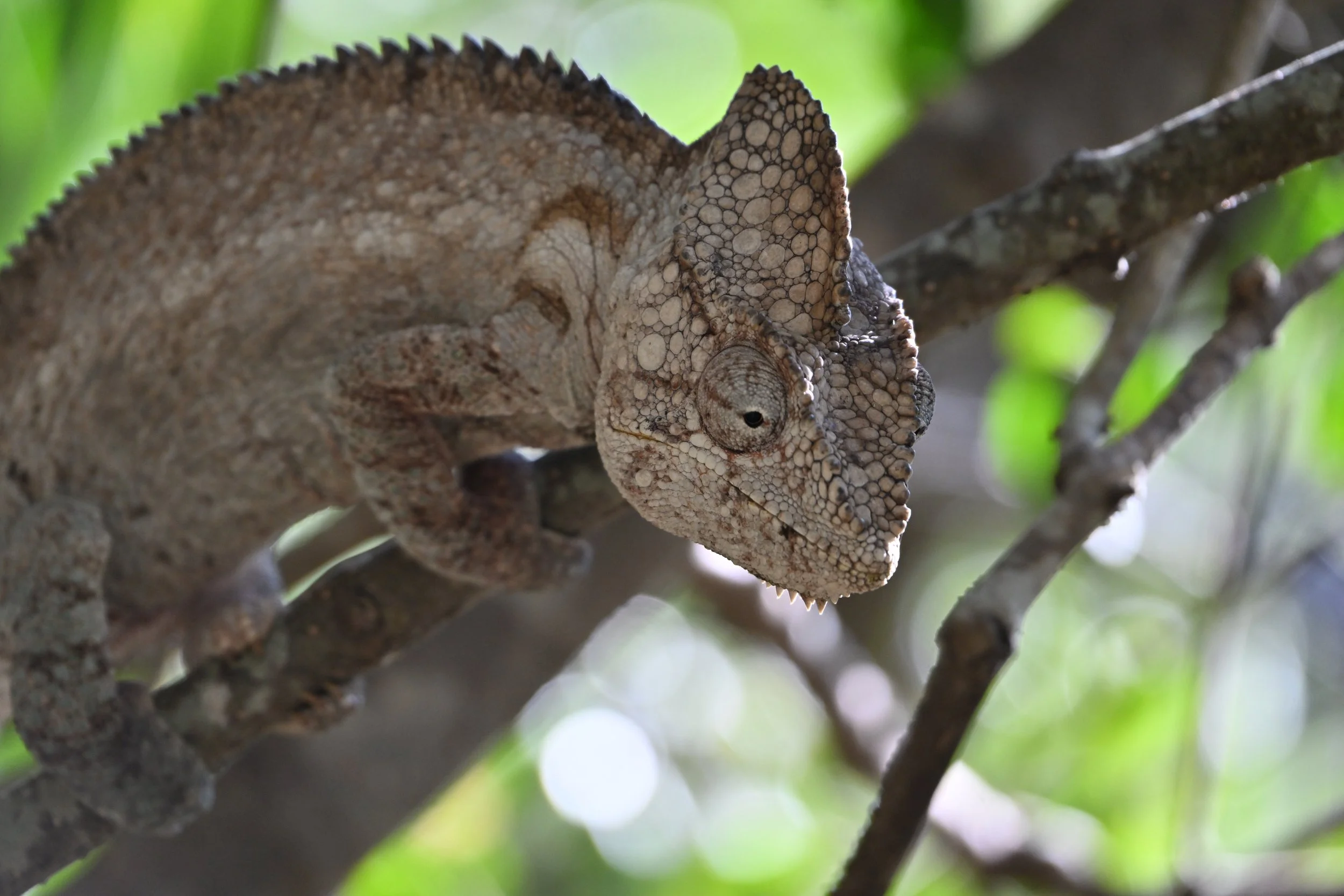
The timing of our trip was primarily aimed at seeing baby lemurs in Madagascar, so we just had to accept the low flow conditions of the falls. However, this did afford us the opportunity for an adventure! Video ahead (as usual, open this post in a browser by clicking the link at the end, if you can’t see the video already) -
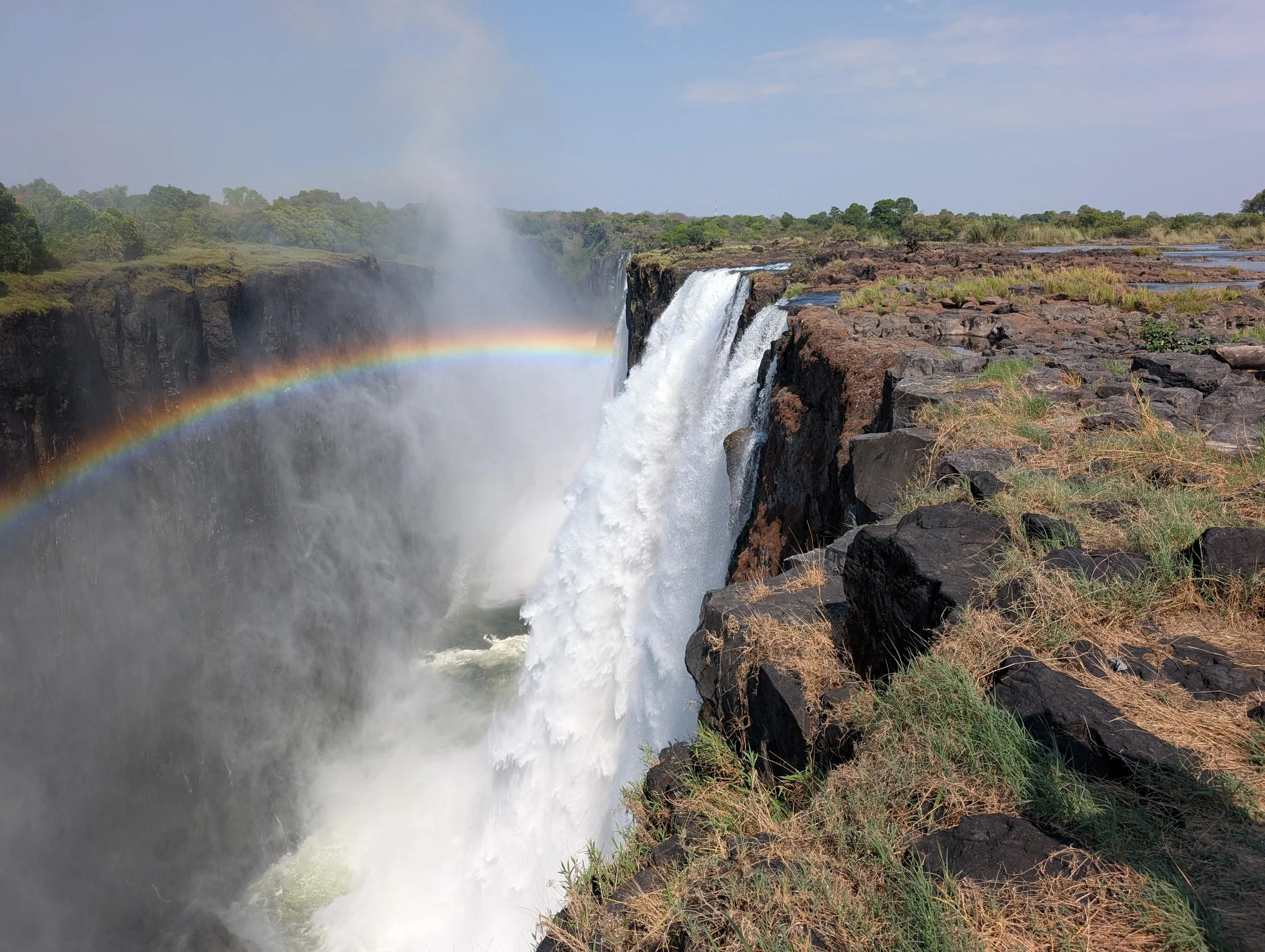
The mist in the distance is the edge of the falls we’re racing to! We went over to Zambia, so we could take a dip in the Devil’s Pool. We walked across those rocks at the right of the next picture to get in the river between that closest waterfall and the bigger one next to it -
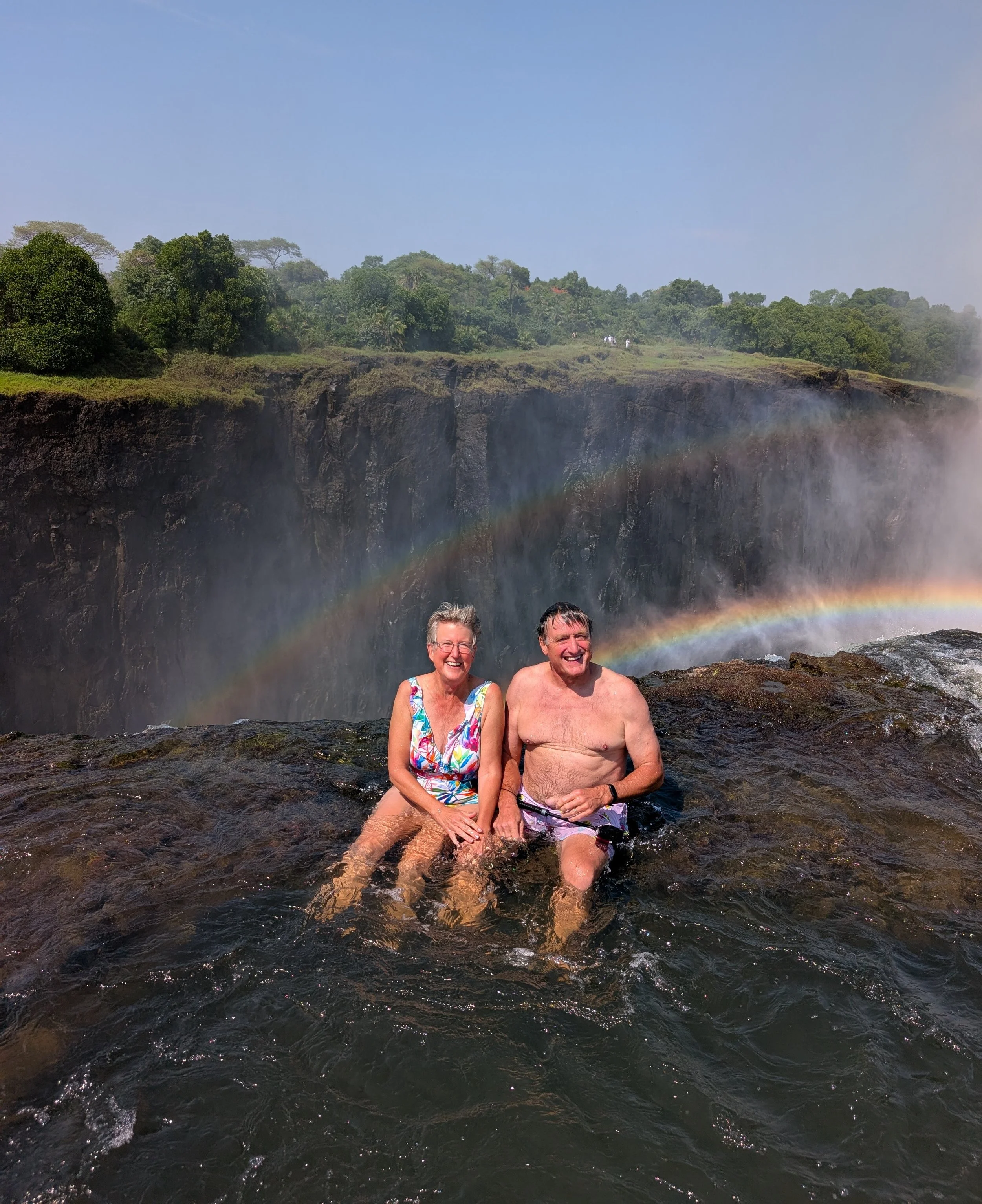
Then each of the tour participants had a photo shoot…
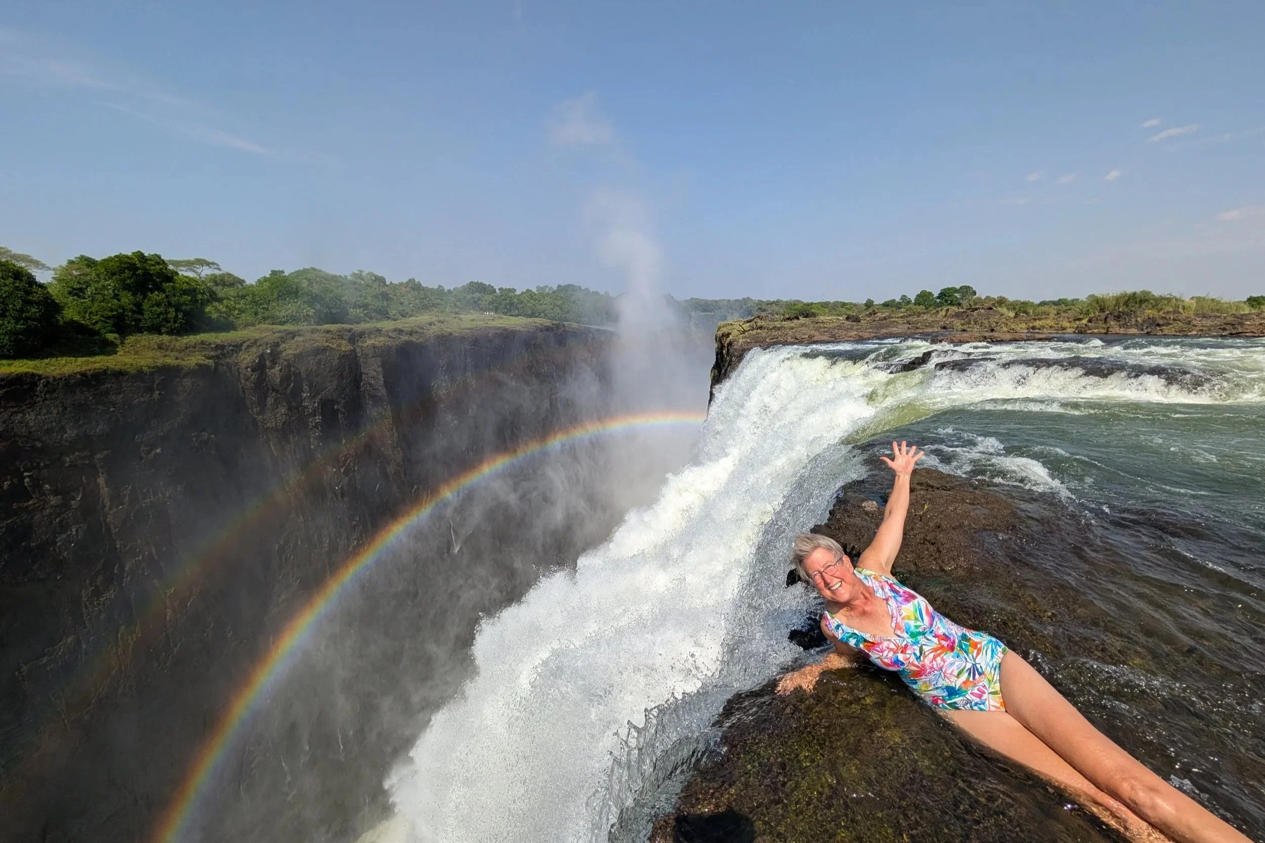
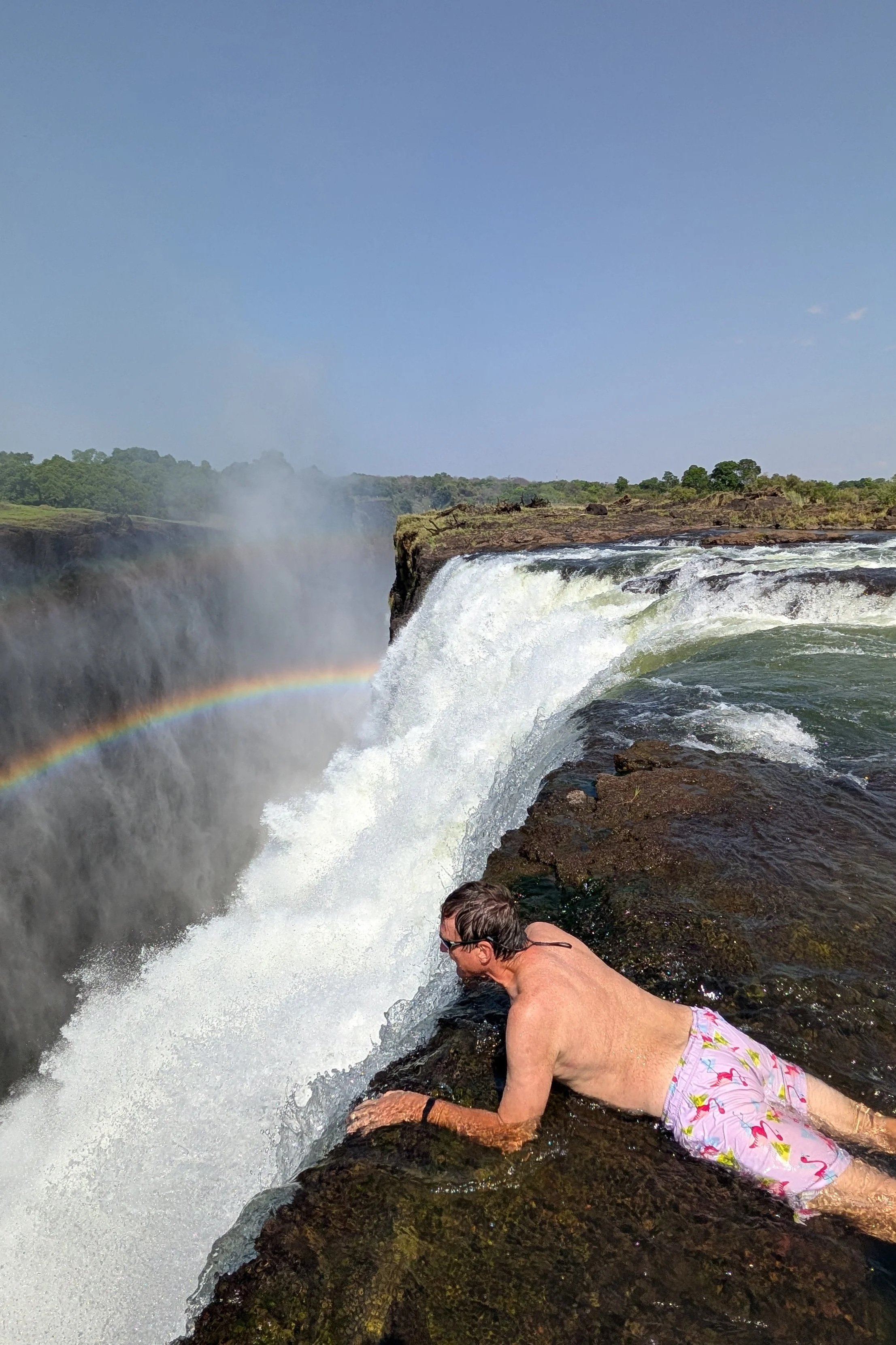
What you can’t see is the guide holding our ankles as we posed. :)
As we waited our turn, we sat on a ledge in the river, and were nibbled on by fish! Luckily the guide warned us of this before we got there.
We had a glorious morning for this outing…
… and we had even more fun than we thought we would.
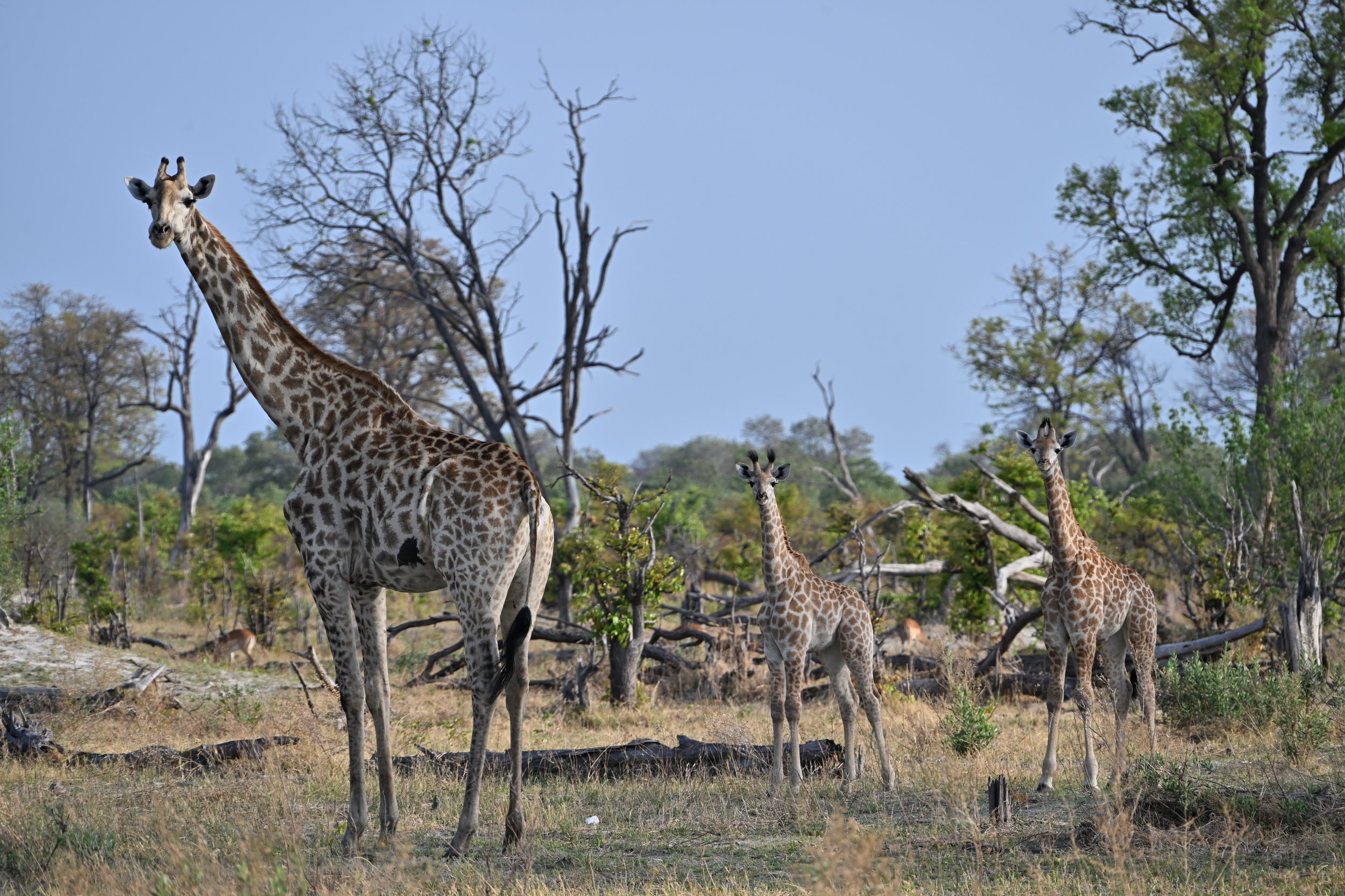
So we added 6 countries - Madagascar, South Africa, Namibia, Botswana, Zimbabwe and Zambia - to our total of countries visited list (now at 60) from this trip.
___________________________________________________
And now, for a few parting observations from Steve:
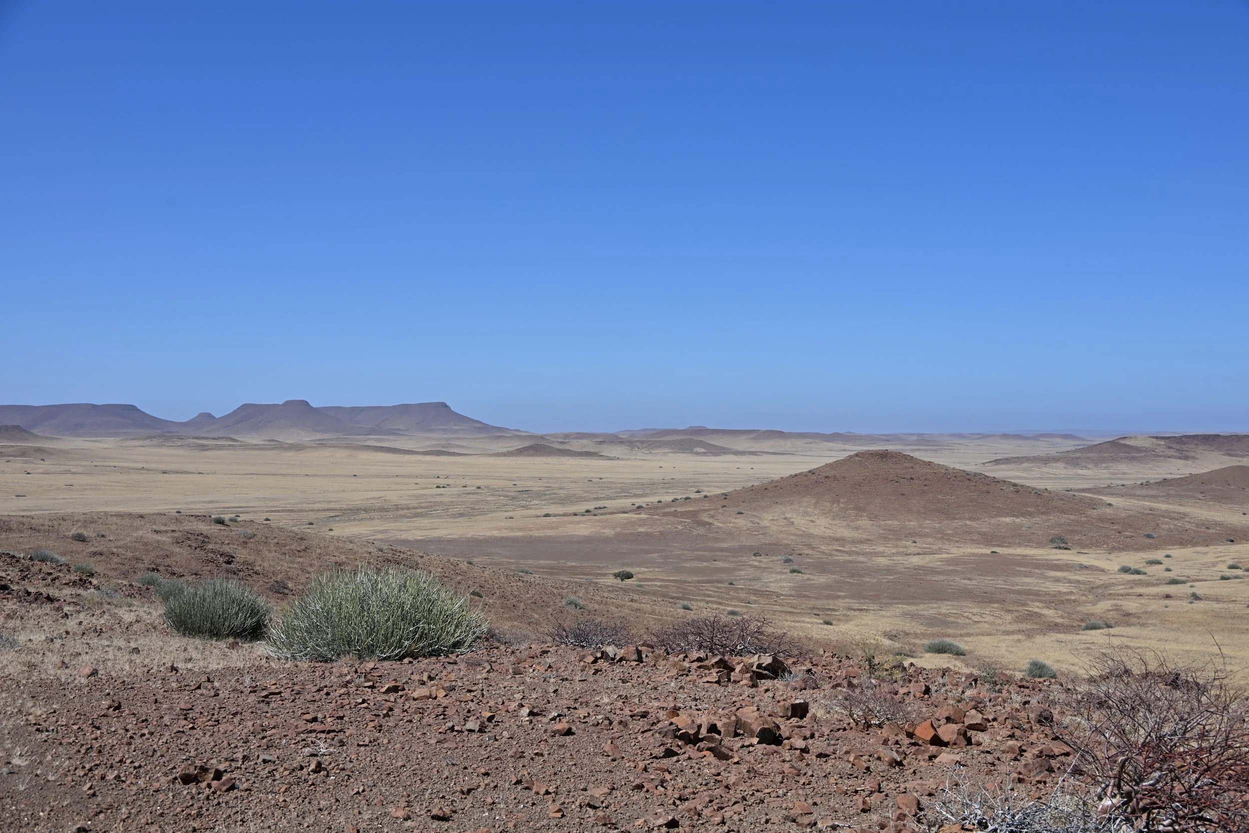
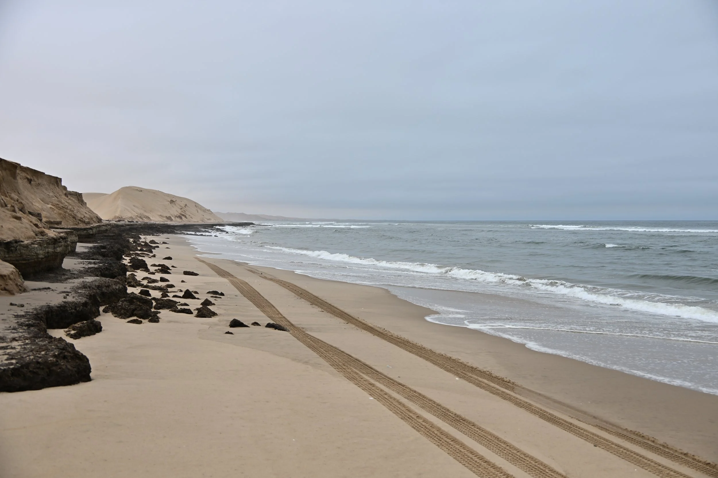
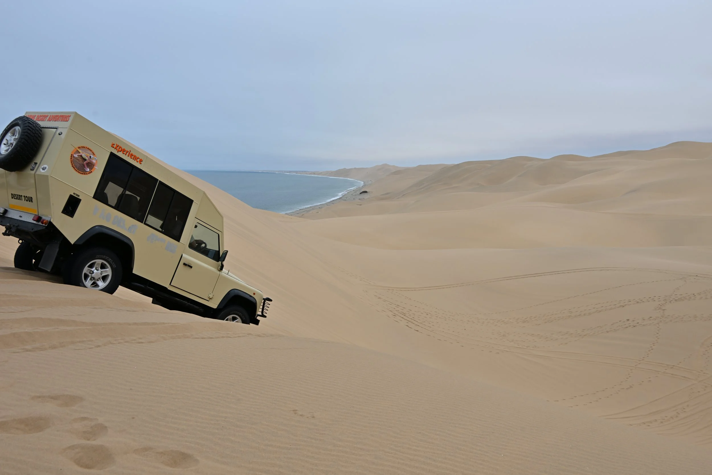
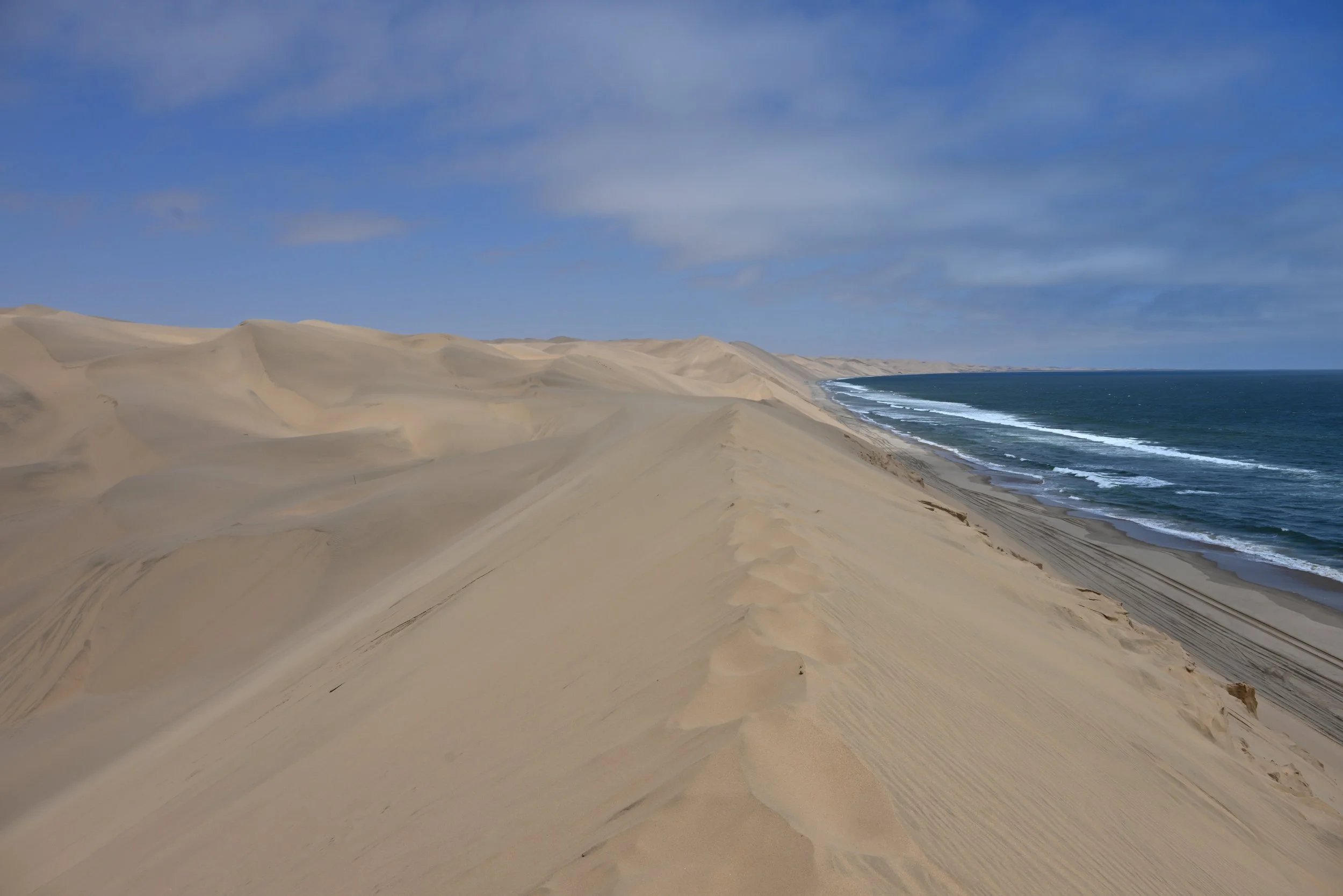
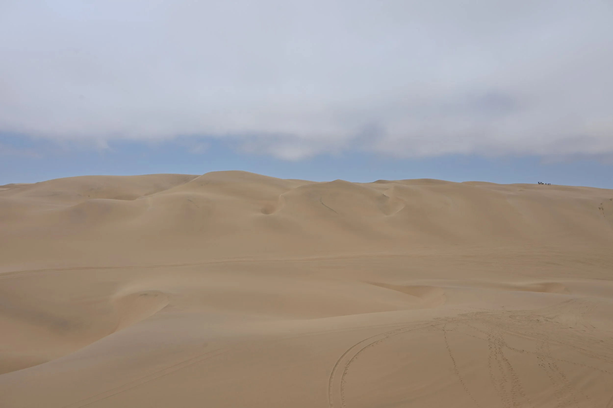
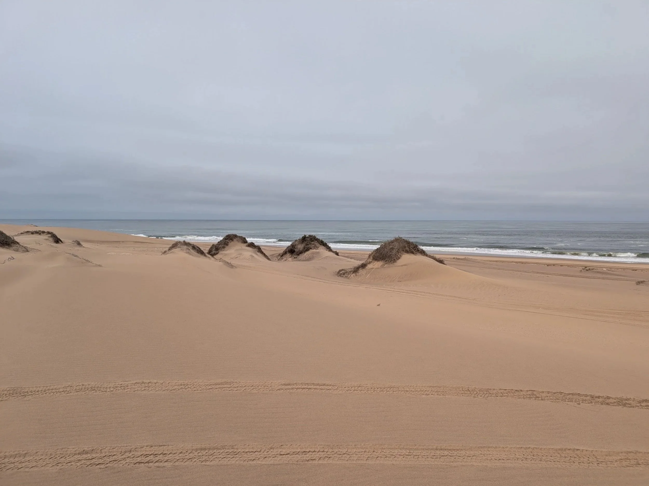
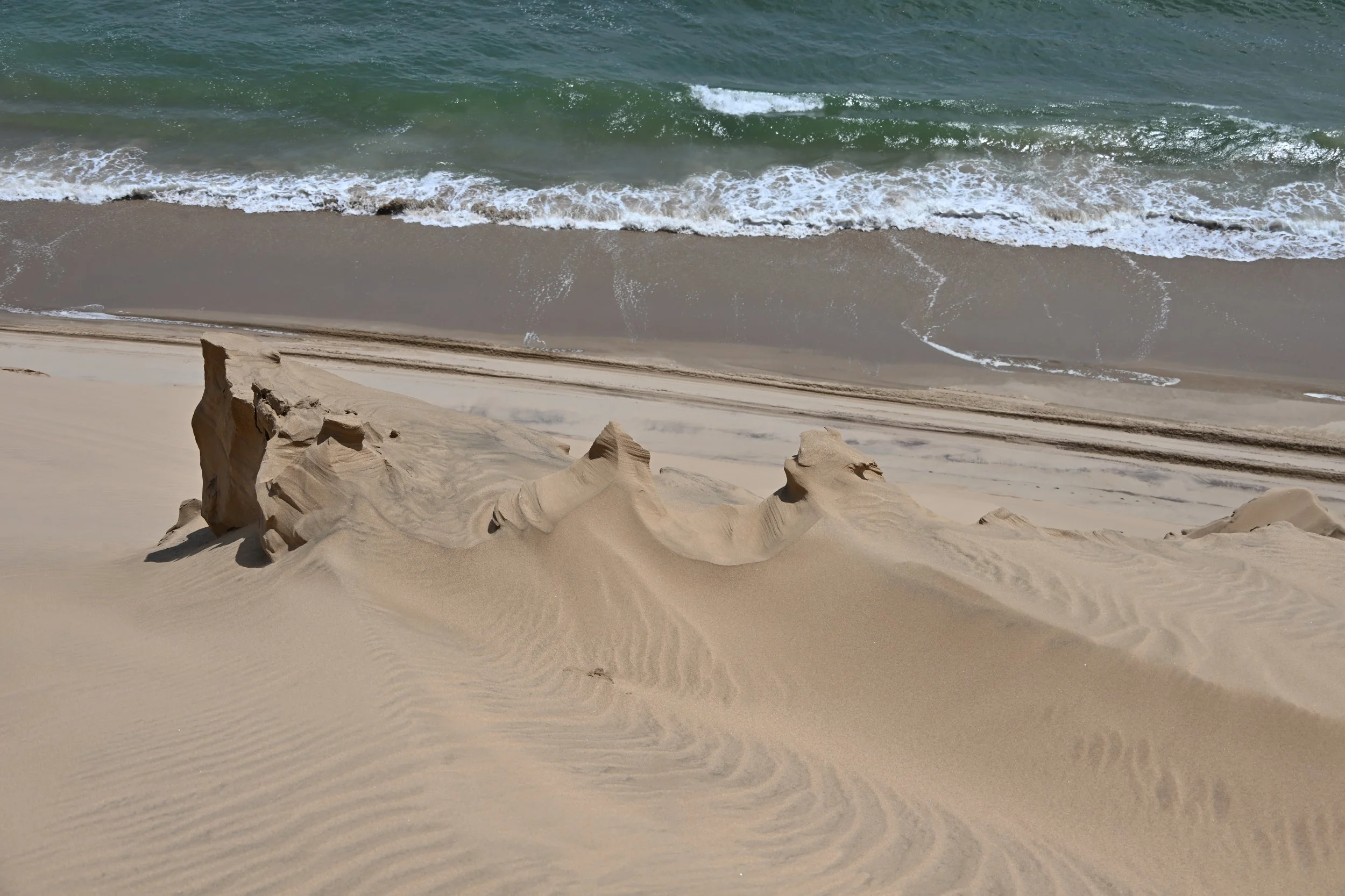
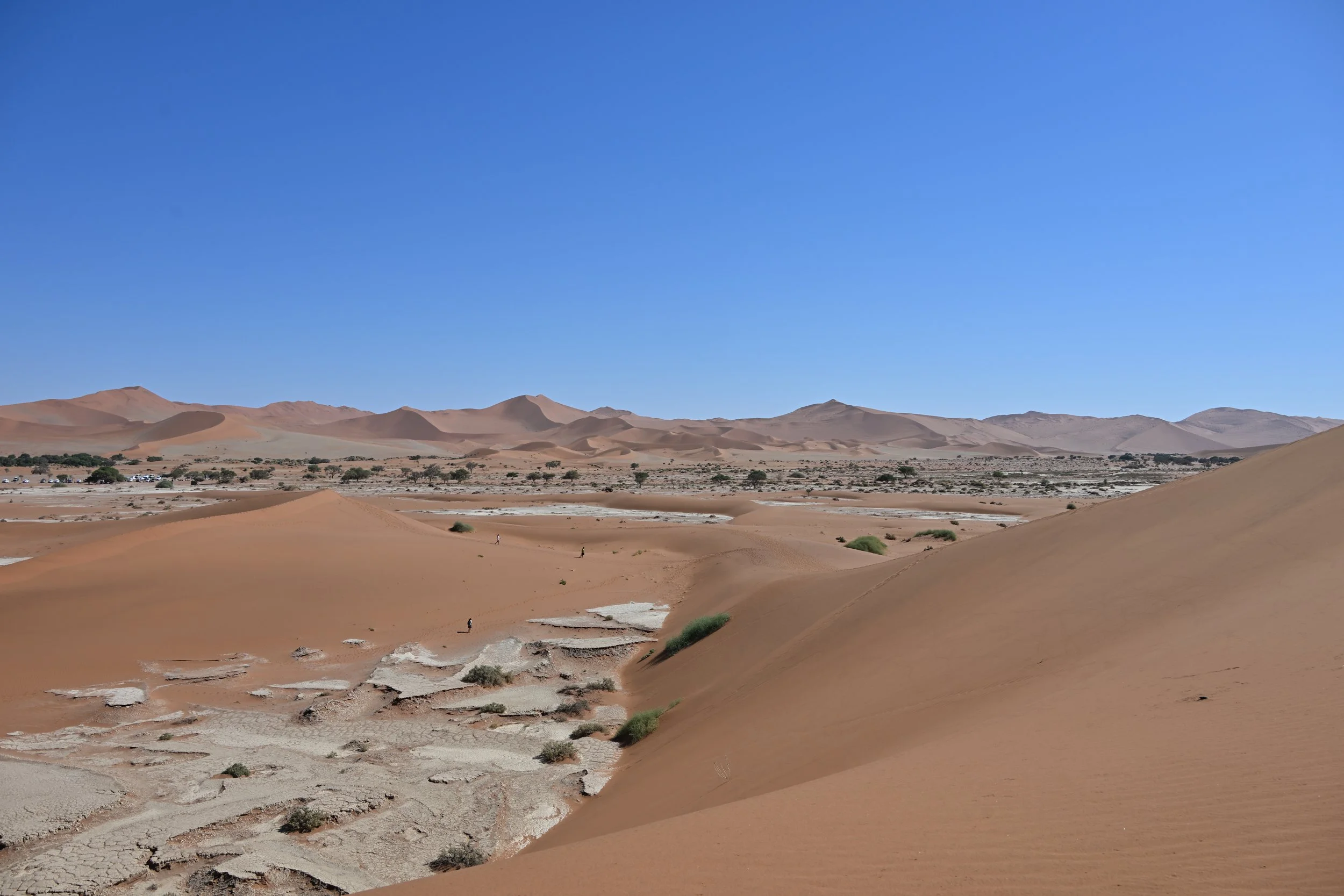
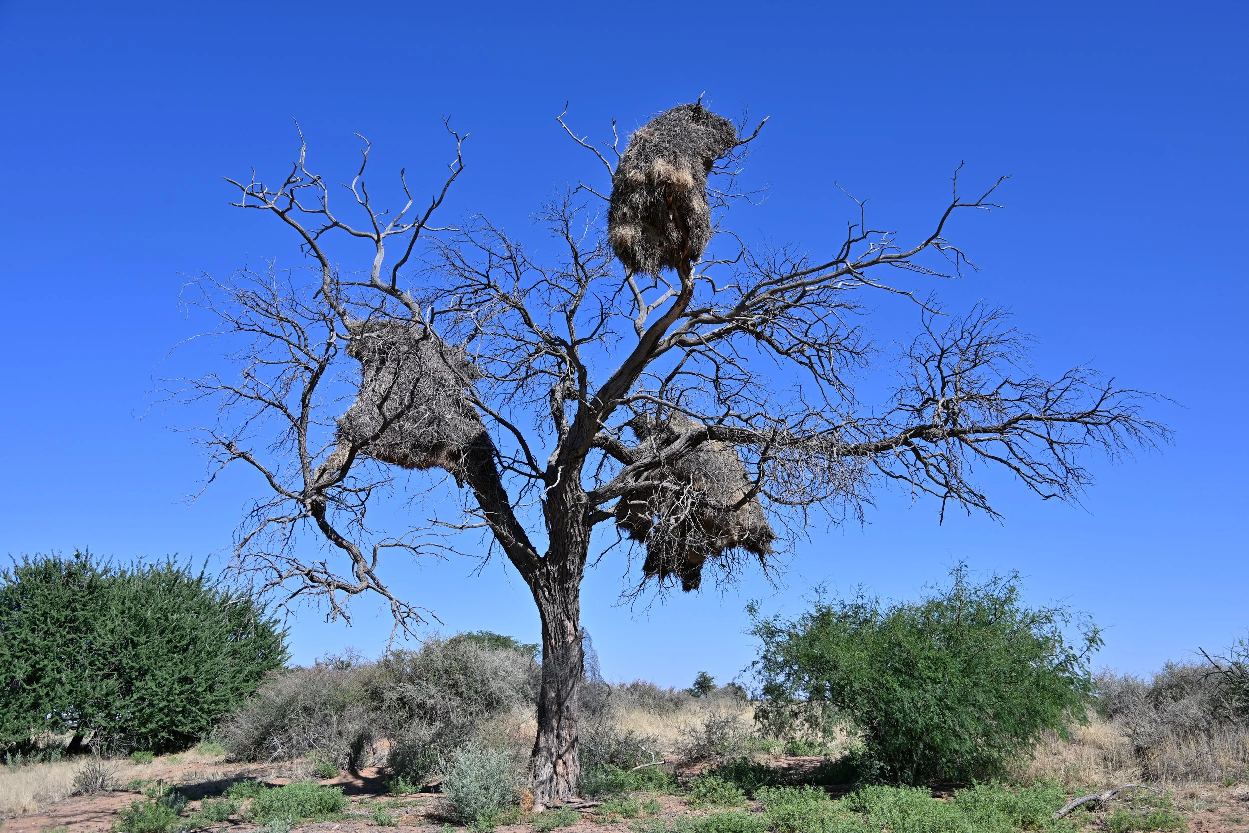
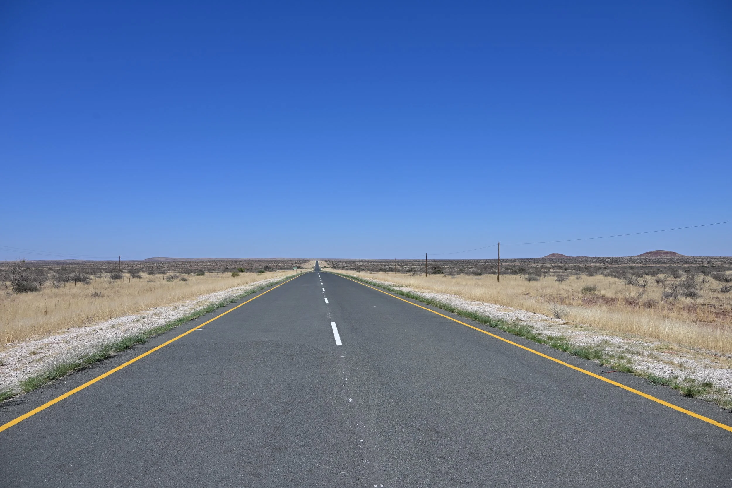
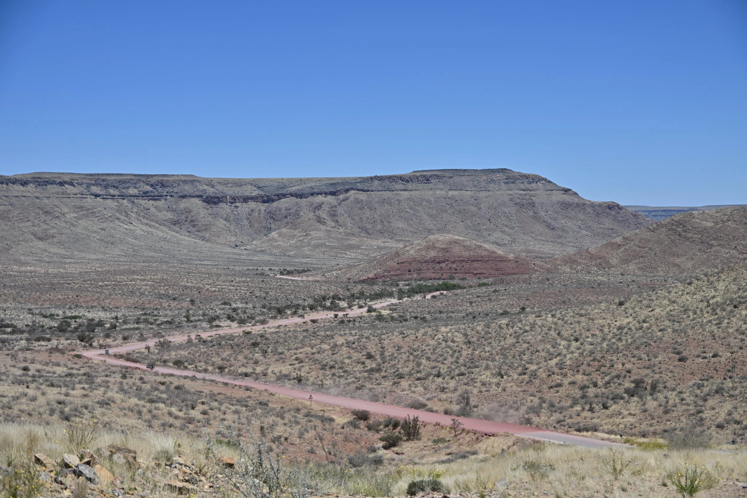
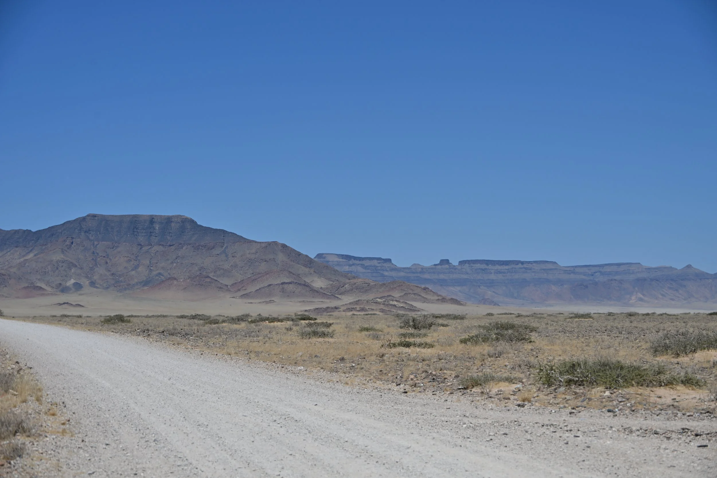
We drove a bit more than 3000 KM (~1850 miles) in Namibia and into Botswana, and found the roads to be excellent. Even the gravel roads were in good shape, albeit with some washboard areas. Apart from Mongolia, Namibia is the least densely populated country in the world, with an average density between that of Montana and North Dakota; thus, traffic was light to very light, even in the cities. Similarly, on the way from Swakopmund to the coastal sand dunes, our guide/driver grandly announced “This is a four-way stop,” which is apparently quite a rare thing!
To rent our car, we had to watch a video warning of the treacherous gravel and dirt roads, the need/requirement to stay below 70 KM per hour on unpaved roads, and the proper etiquette to allow people to pass …. But the speed limit was 100 on those roads…. And we never had anyone pass us…
Wide loads, like here, carry warning signs—albeit differently worded:

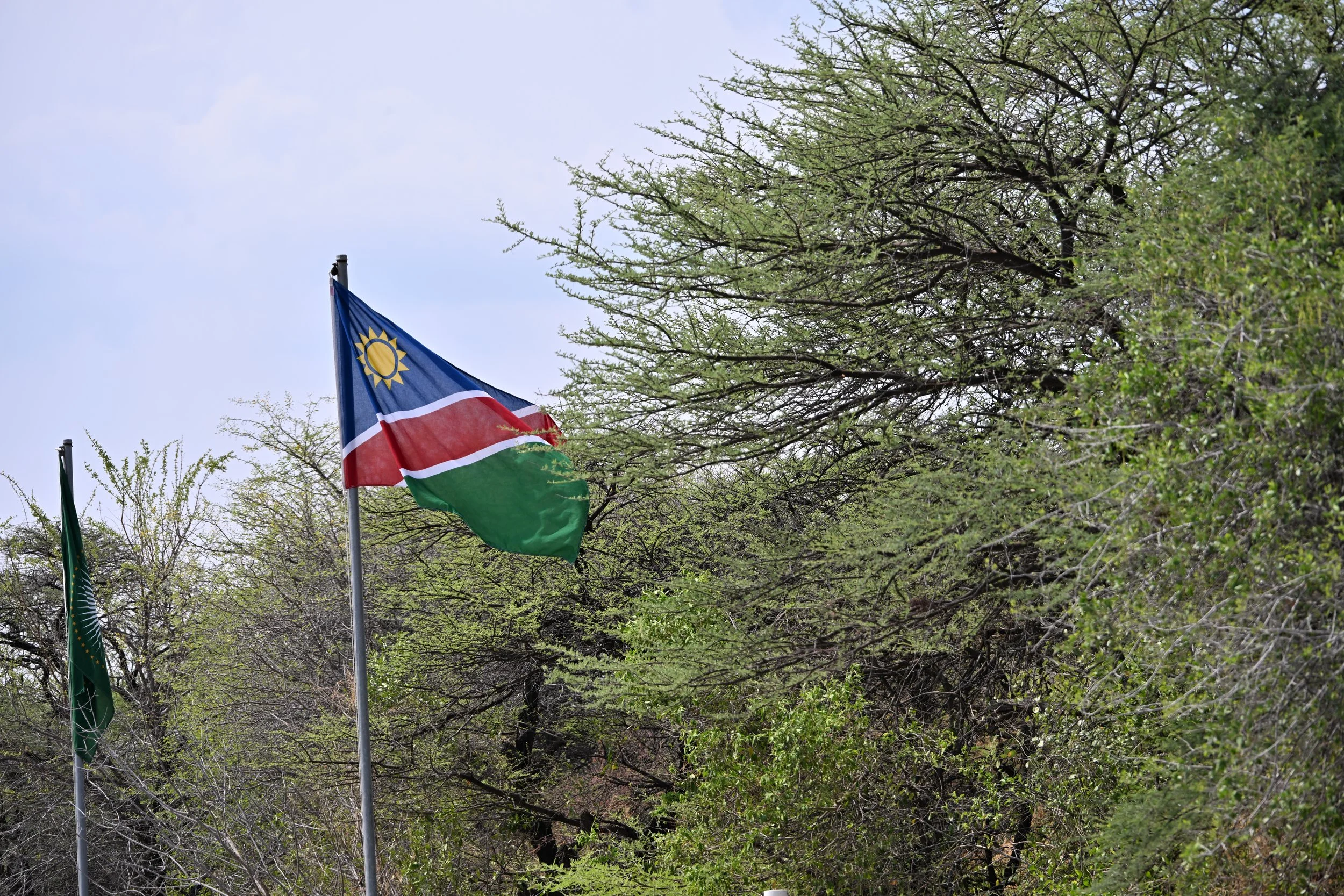
As you might infer from the picture, English is the official language of Namibia, even though very few people speak it in their homes. (The same is true of Botswana, Zambia, and Zimbabwe—which has 16 official languages.) Most people can communicate in English, which makes it easy for American visitors.
German is another language that one might run across, especially in Swakopmund, which was established by the Germans during their 30 year colonization of “South West Africa.” That colonization ended in World War I, but the poor Namibians went from the frying pan and into the fire when the League of Nations granted South Africa the mandate to govern Germany’s prior colony… Notwithstanding this ugly history, Swakopmund attracts many German tourists and retains a good deal of German cultural flavor:

We were the only customers not speaking German in the restaurant where we had this beer.
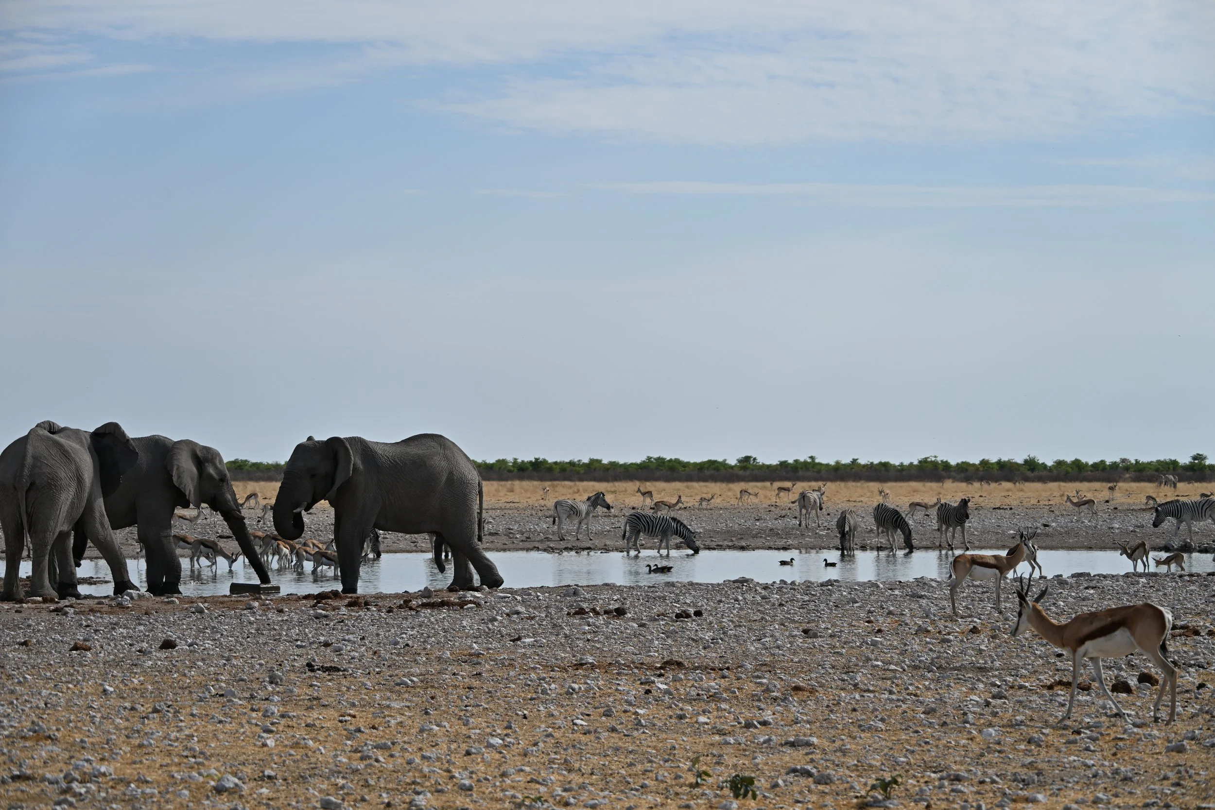
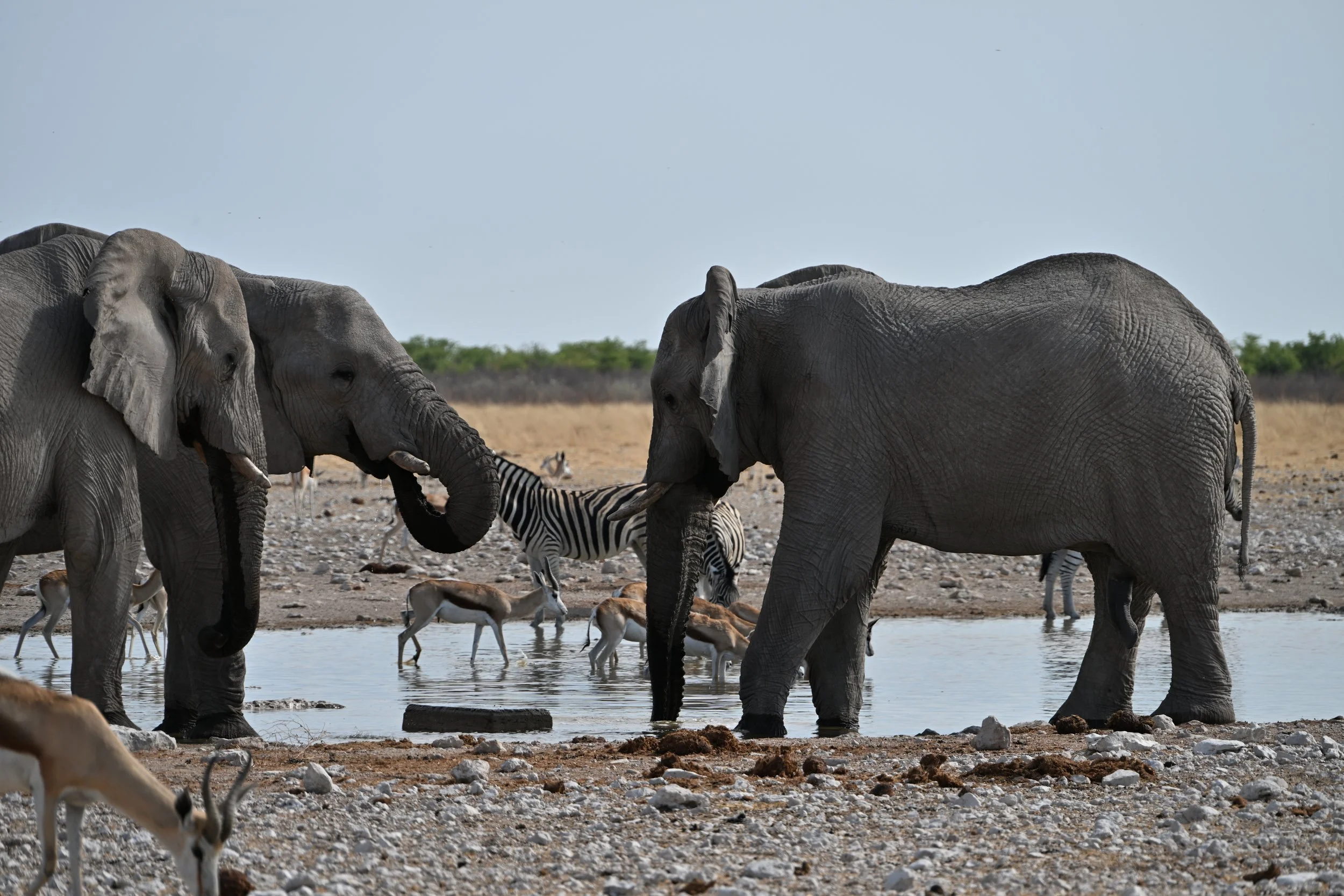
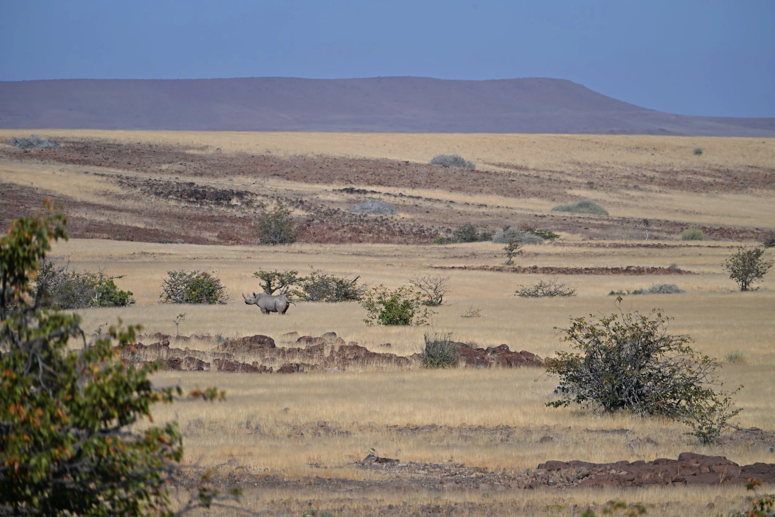
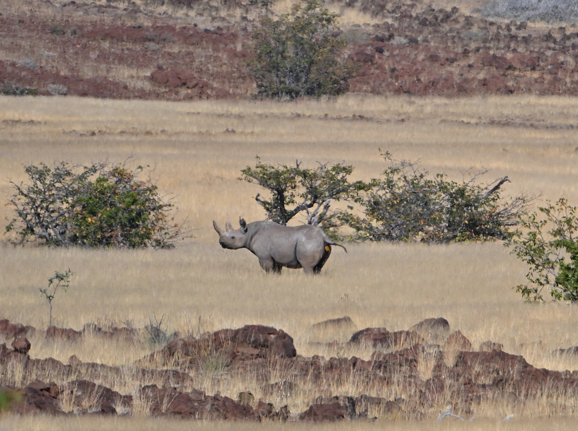
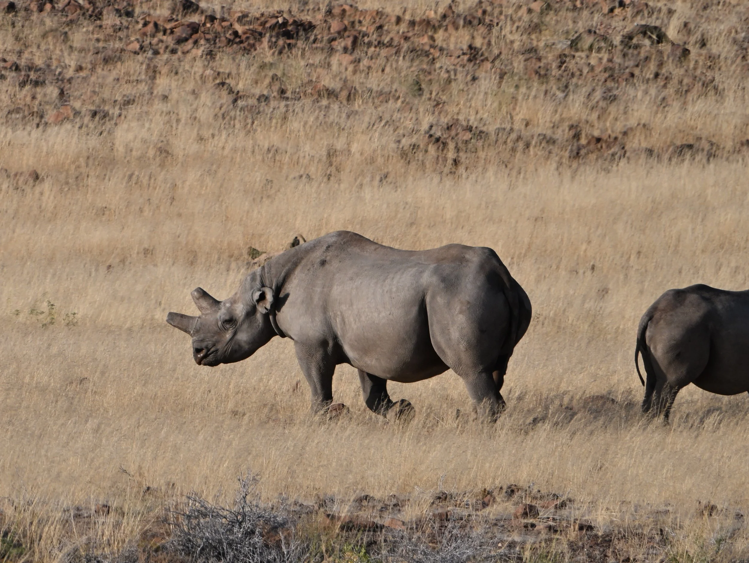
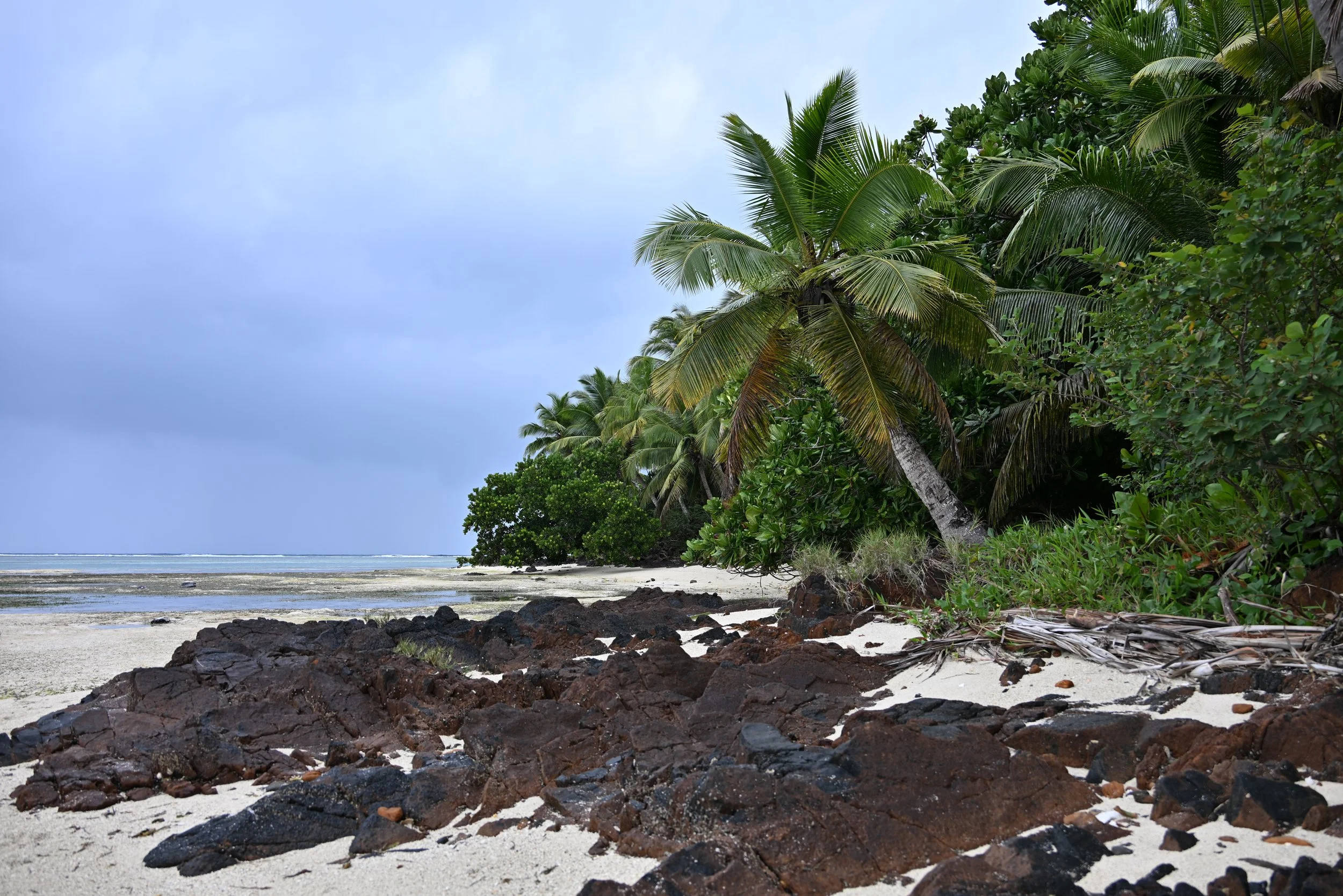
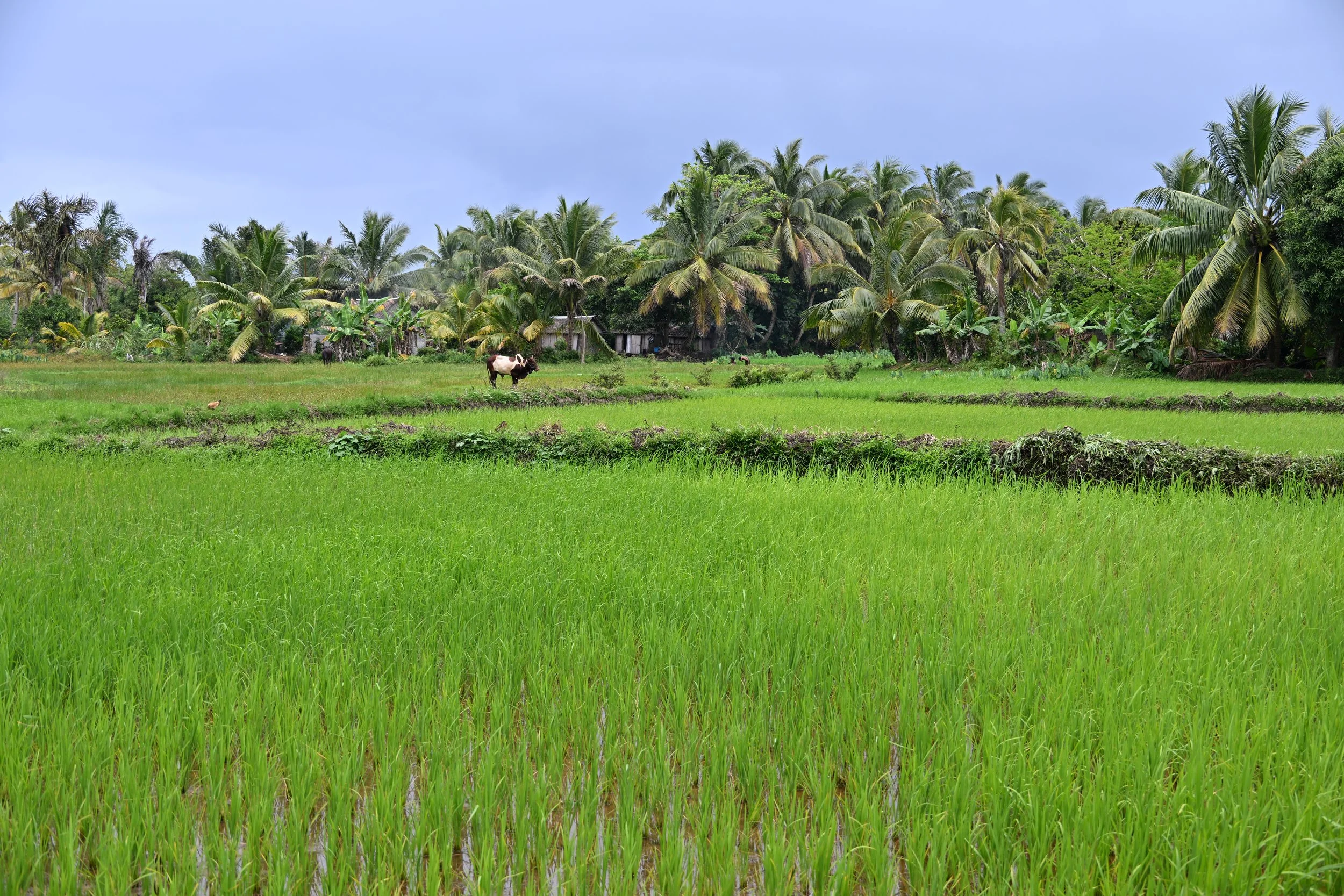
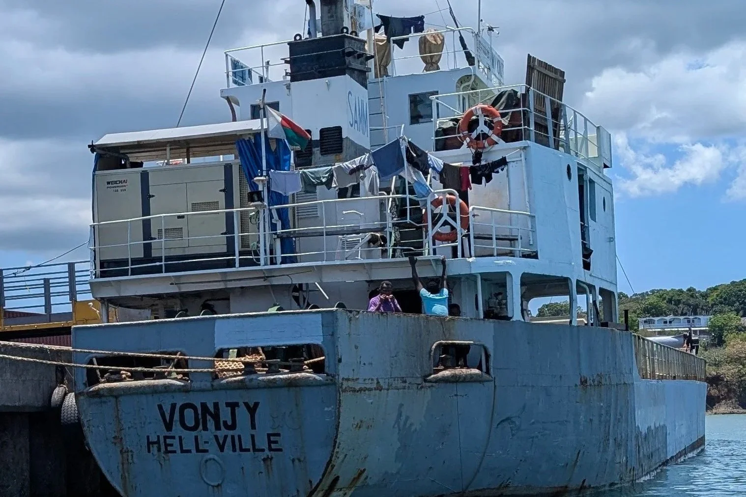
All in all, we really enjoyed this trip and would highly recommend both Namibia and Botswana to anyone seeking a comfortable place to see African wildlife. Madagascar was also a great trip, but it definitely doesn’t have the amenities (and transportation!) available on the second half of our trip. In fact, anyone wanting a luxurious, comfortable trip might find the name of the Nosy Be, Madagascar, port city to be entirely apropos!
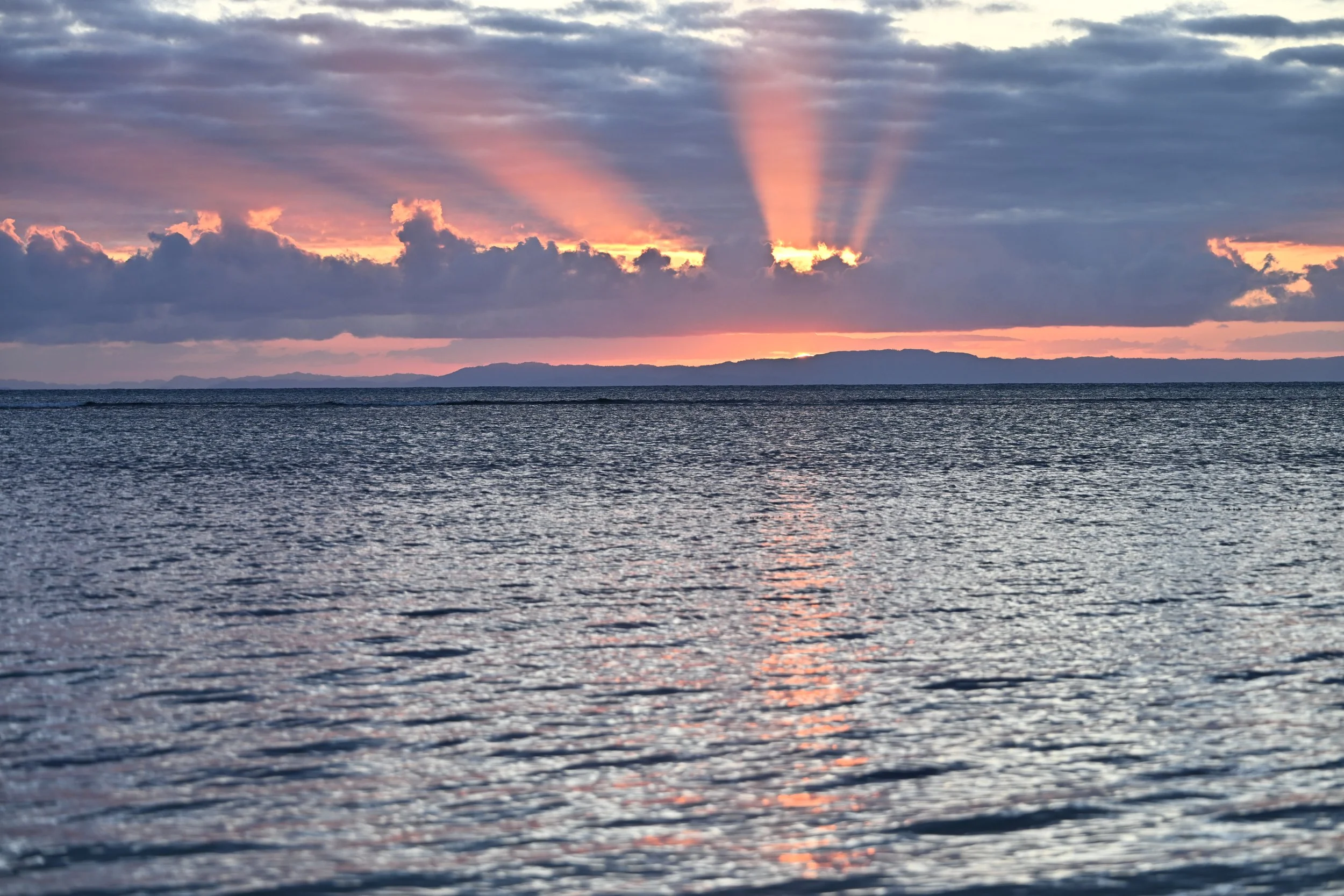
Our 2 month African adventure is now in the books (with the next post about 3 months from now).