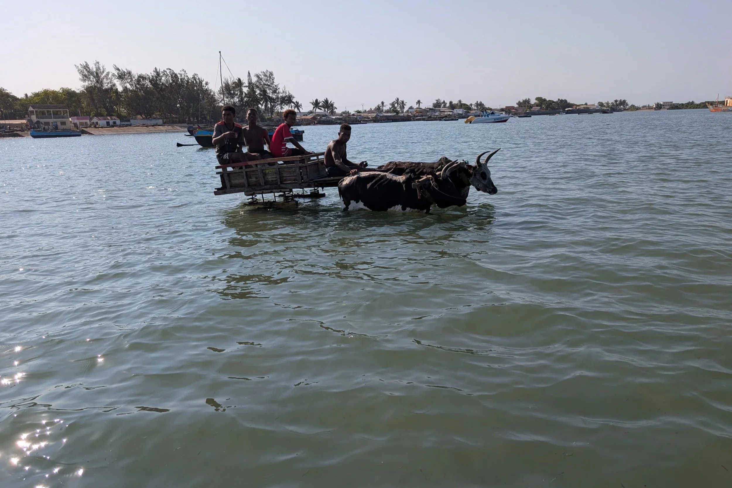
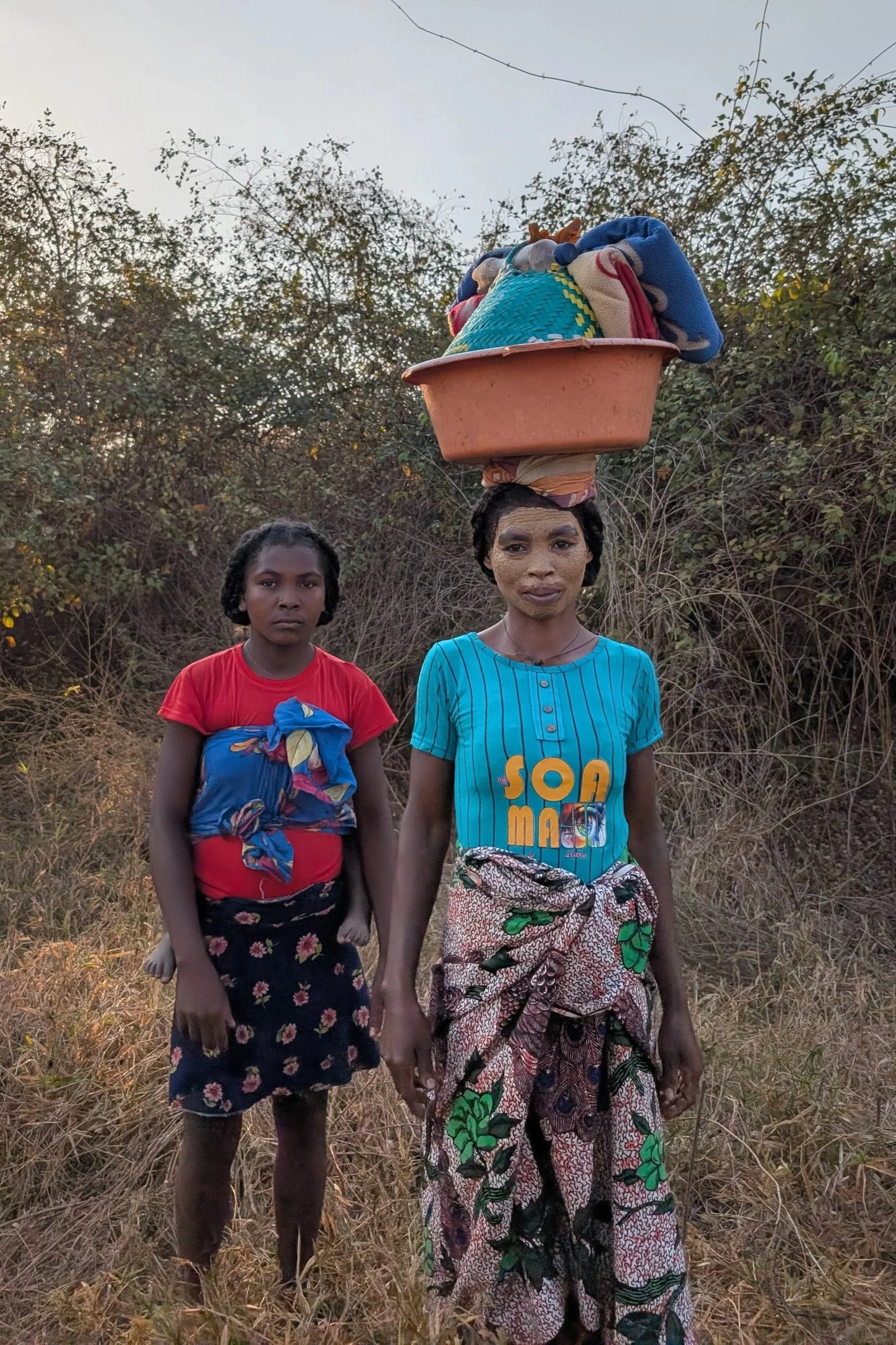
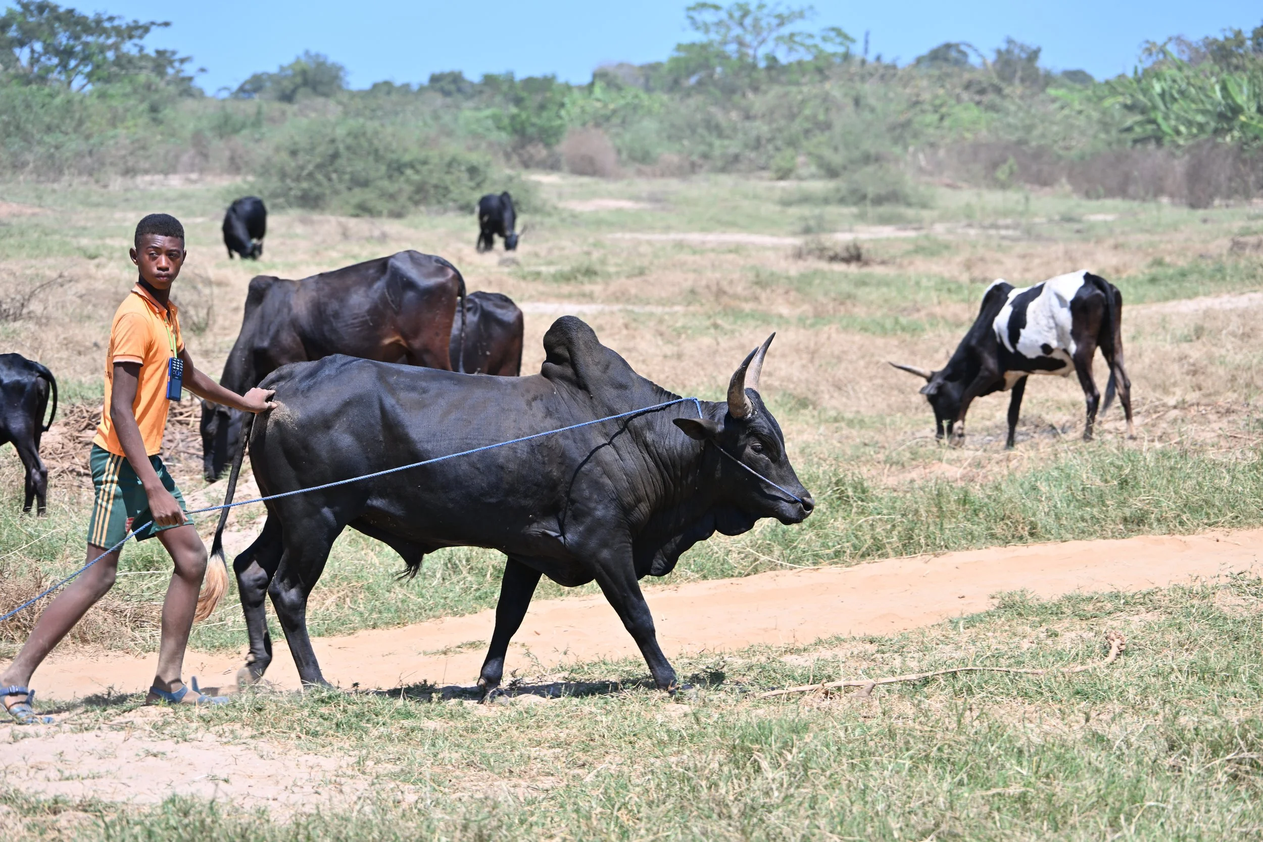
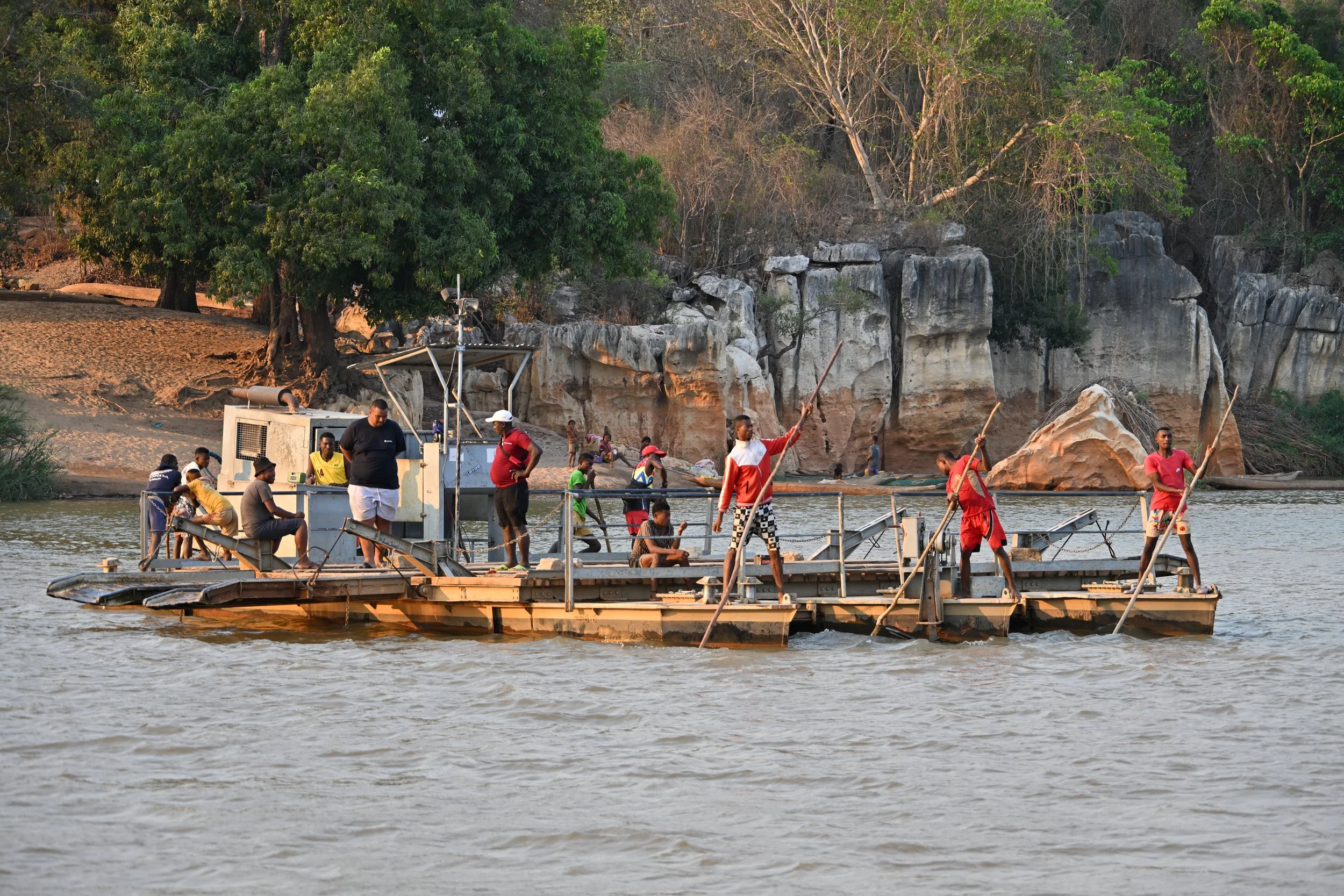
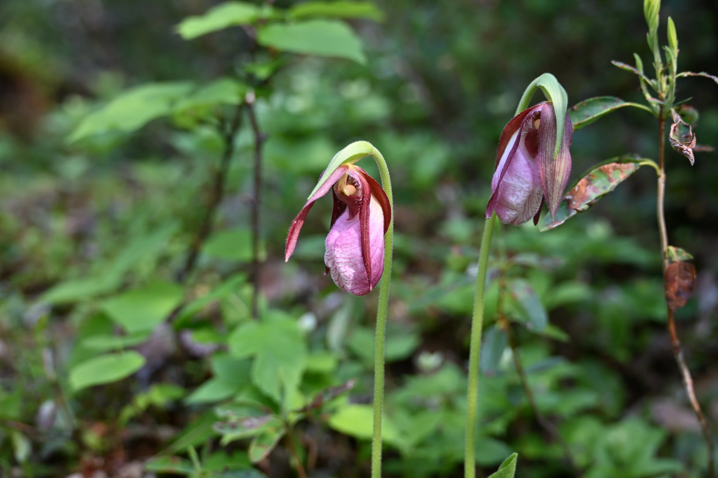
Isalo National Park
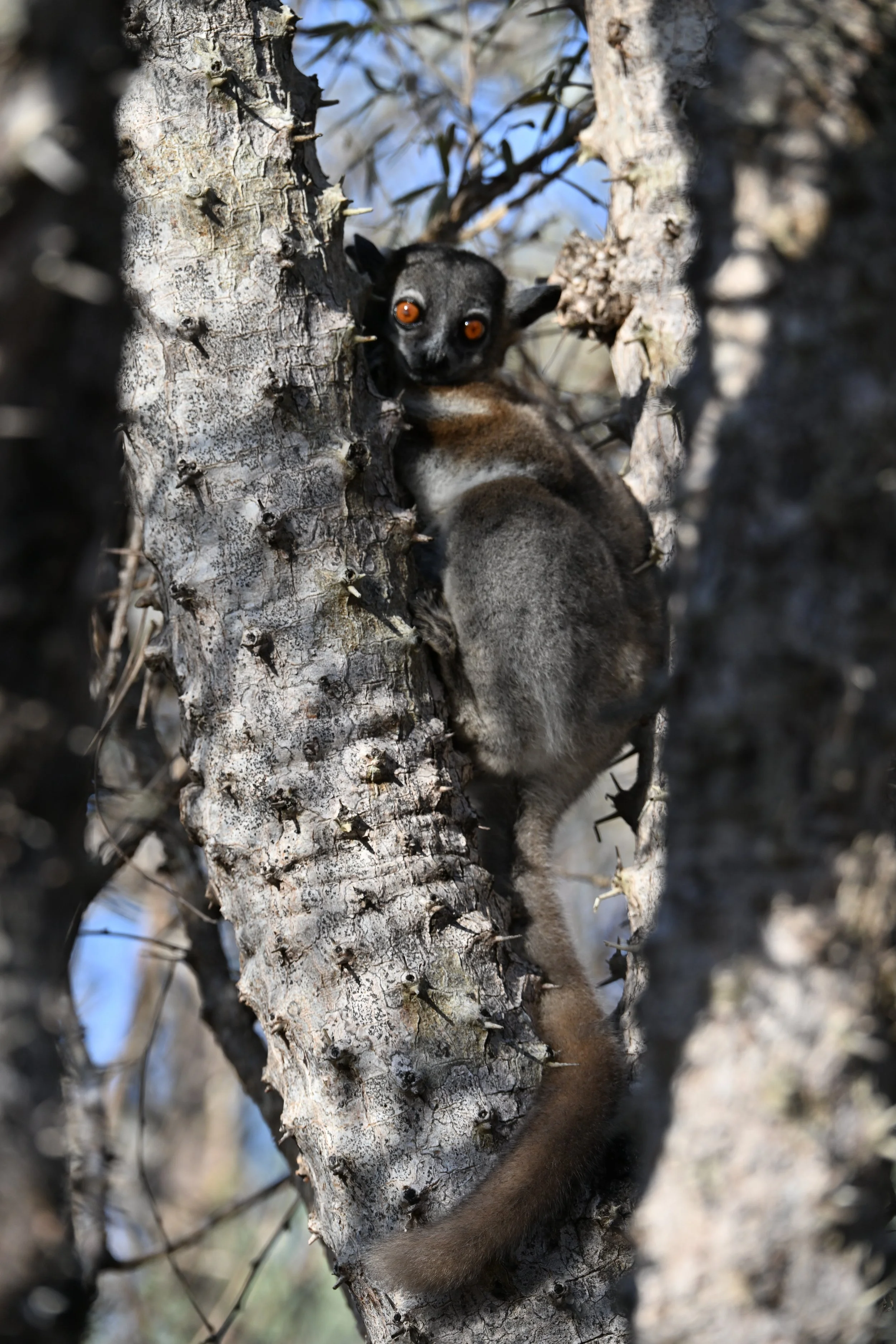
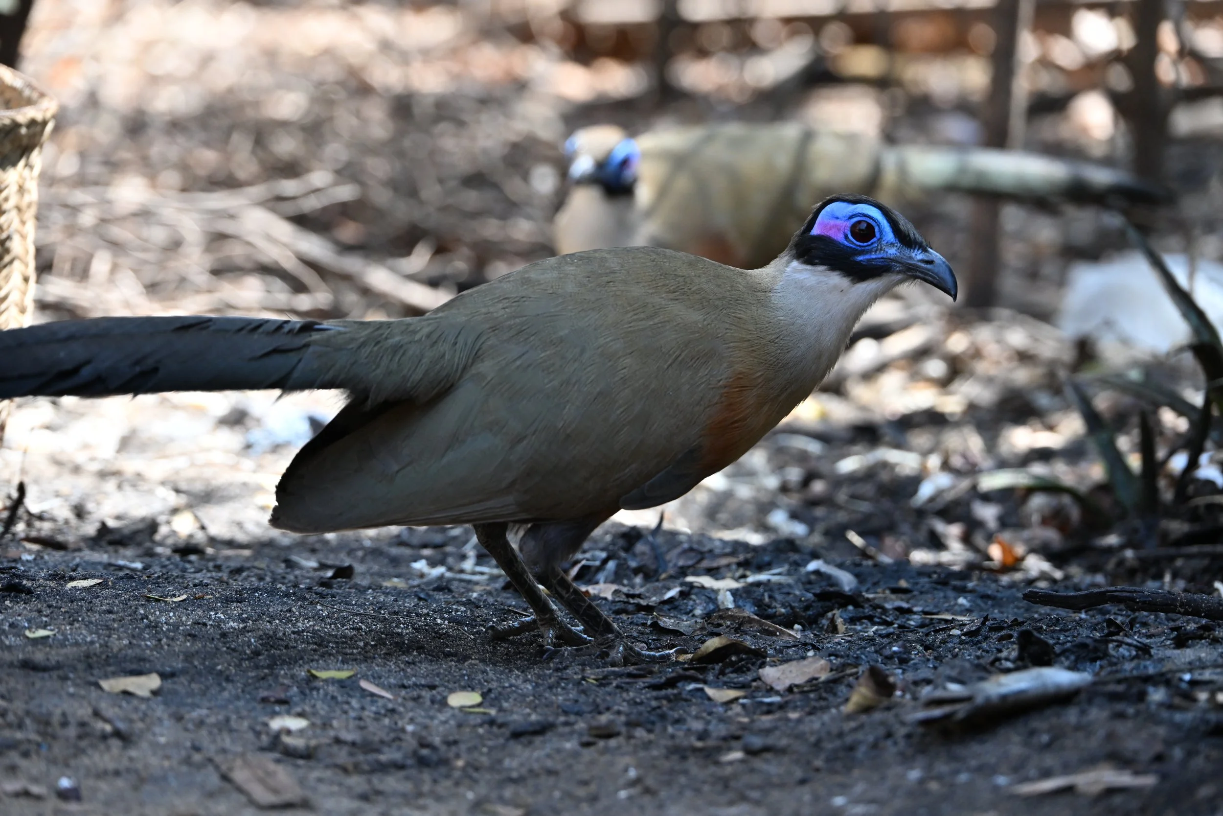
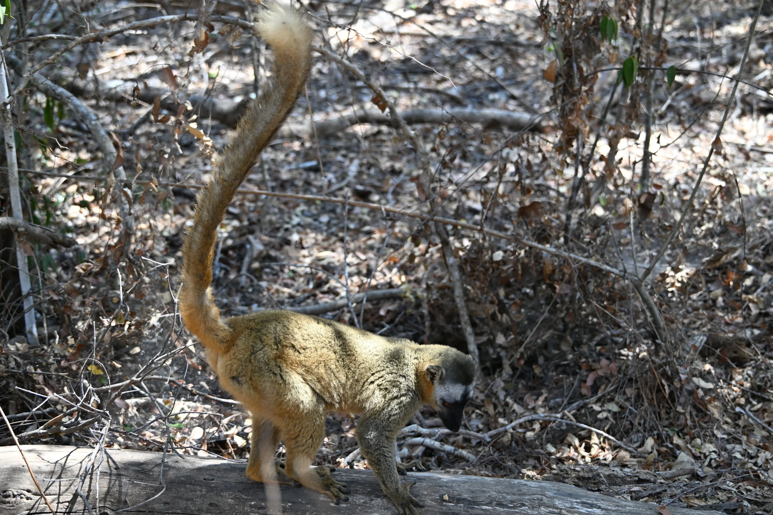
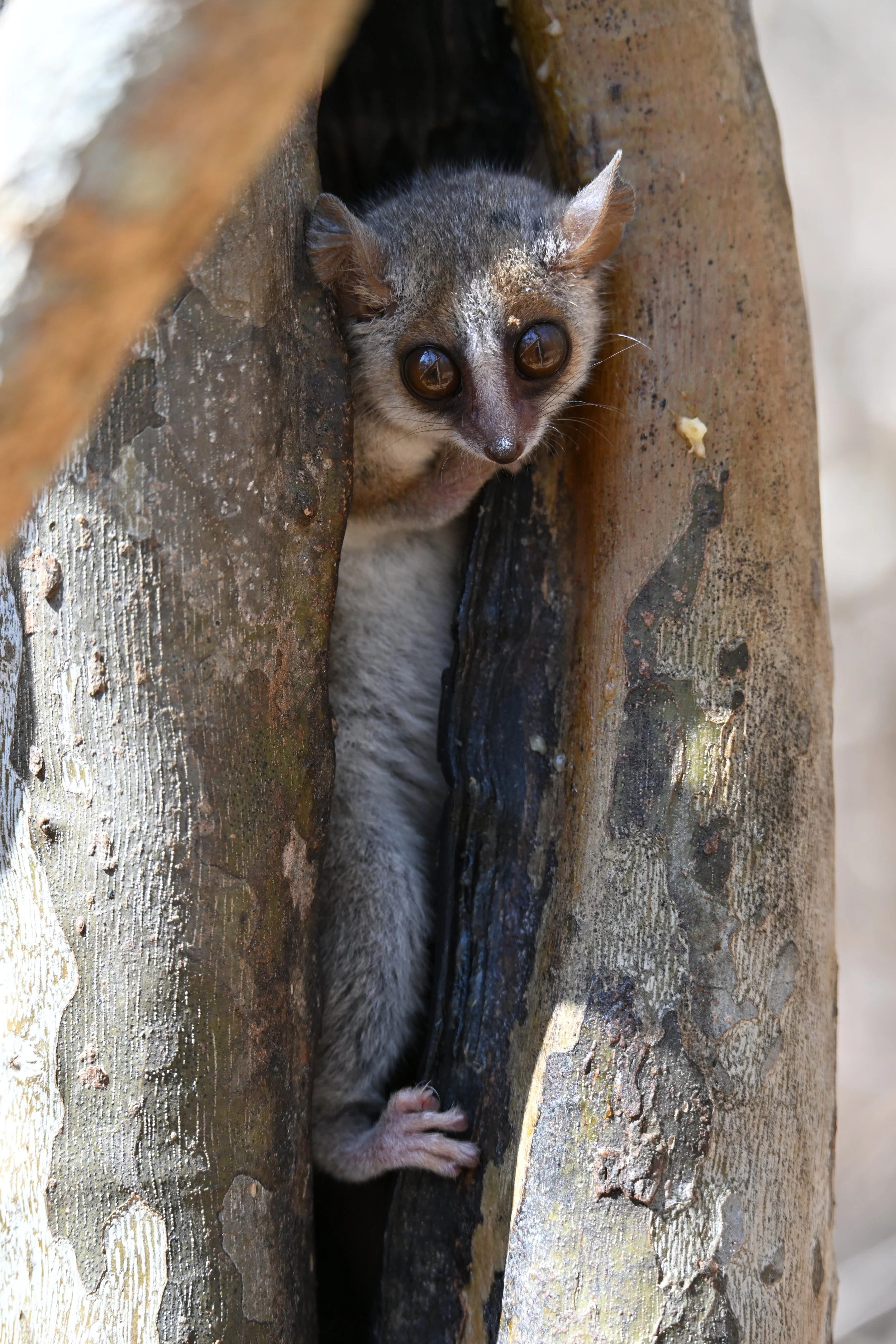
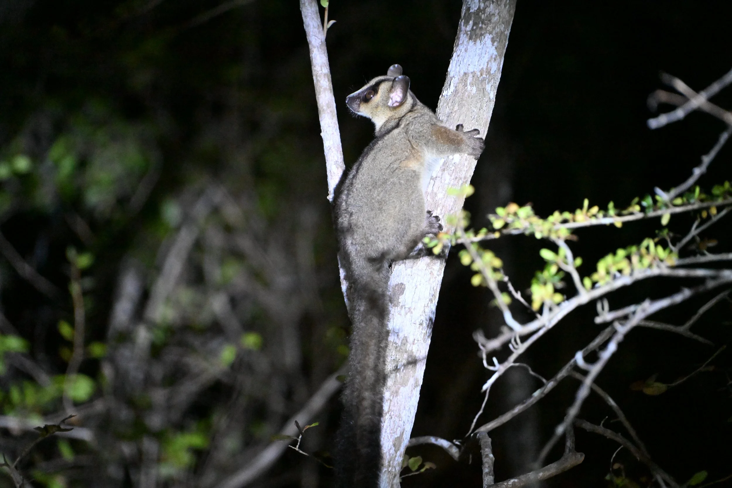
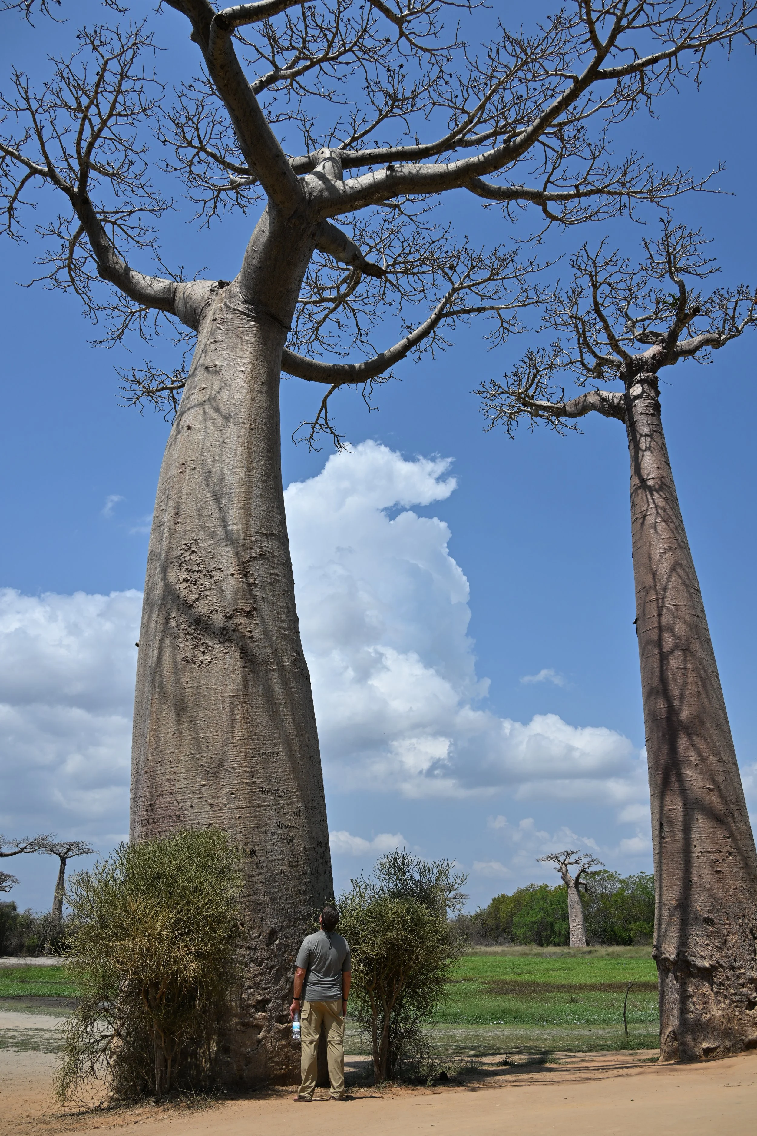
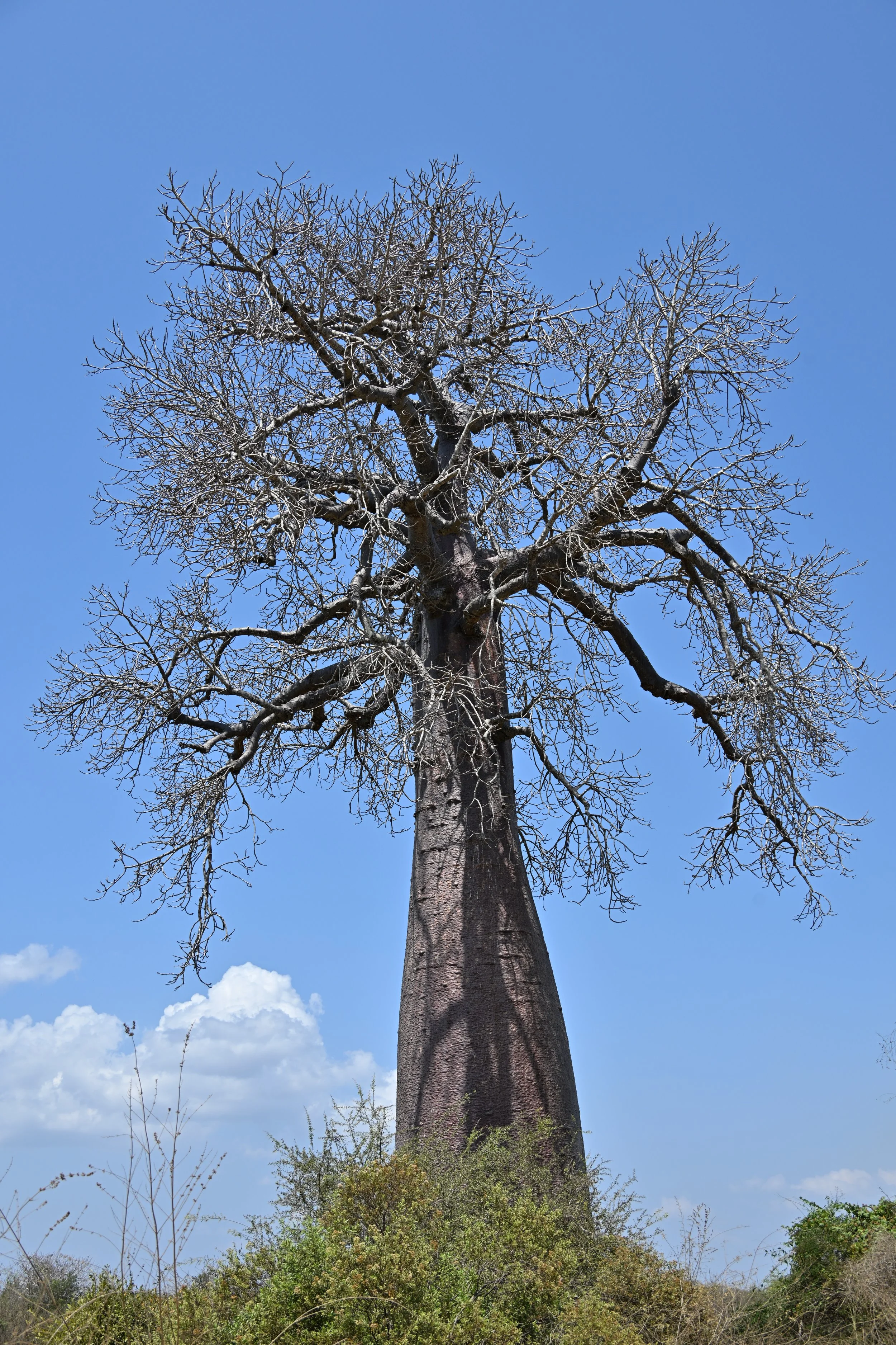
Now we were headed inland across the island, with a brief stop at Zombitse National Park, where we met yet another lemur species - the Zombitse Sportive Lemur, which exists nowhere else in Madagascar -
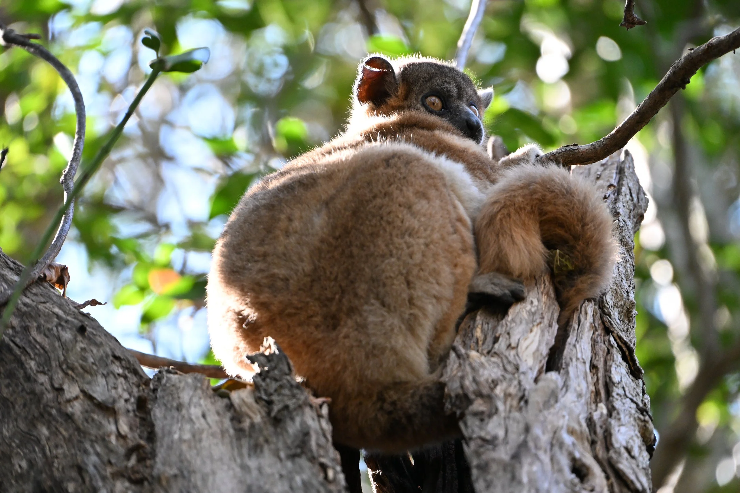
They are nocturnal, but this one was just zoning out at the top of its lair.
We also saw the striking Standing’s Day Gecko…
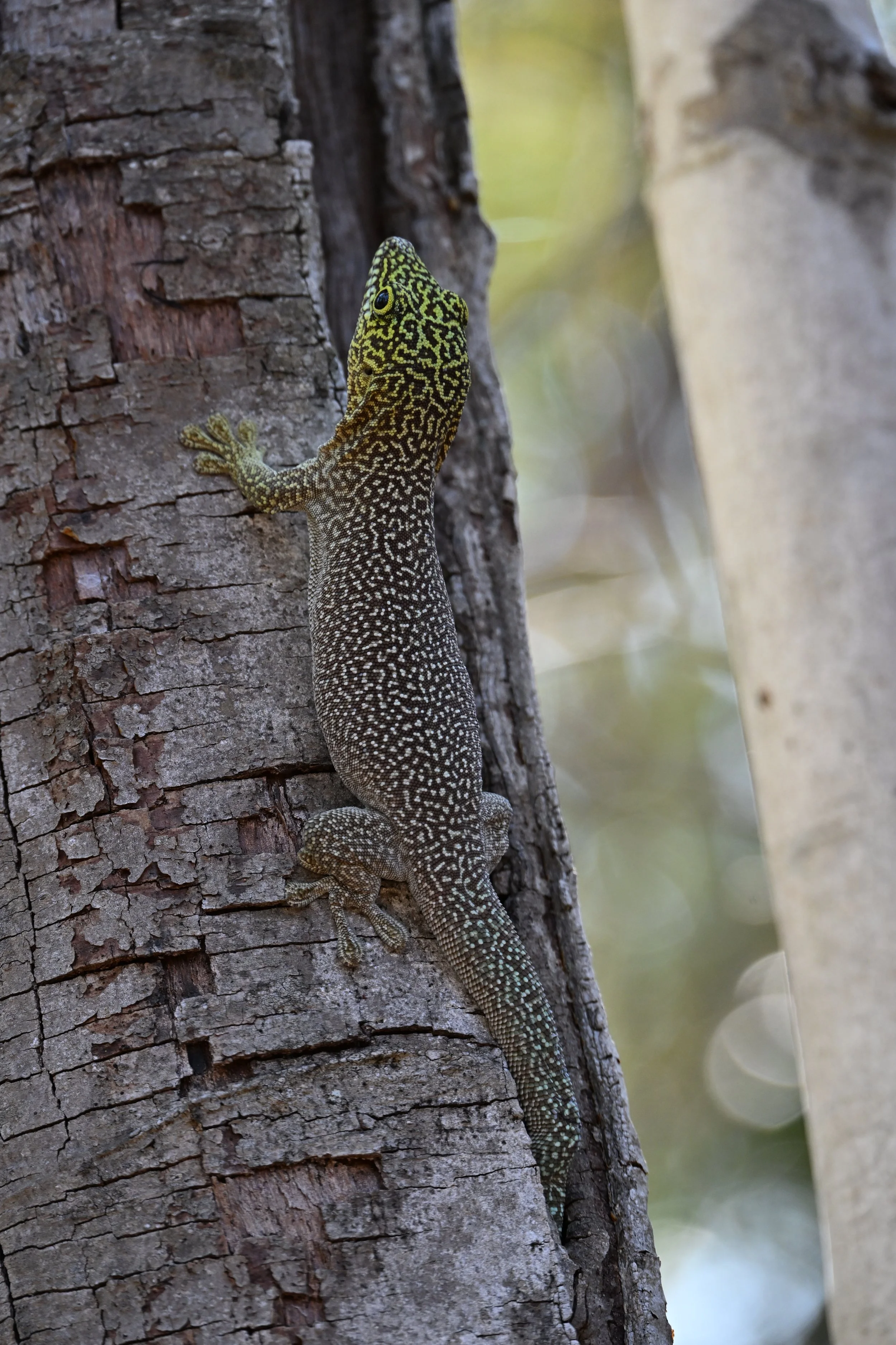
check out its toes!
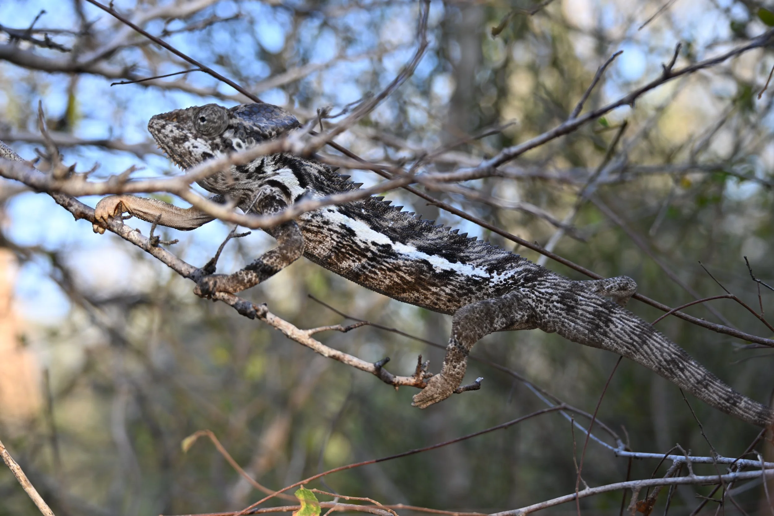
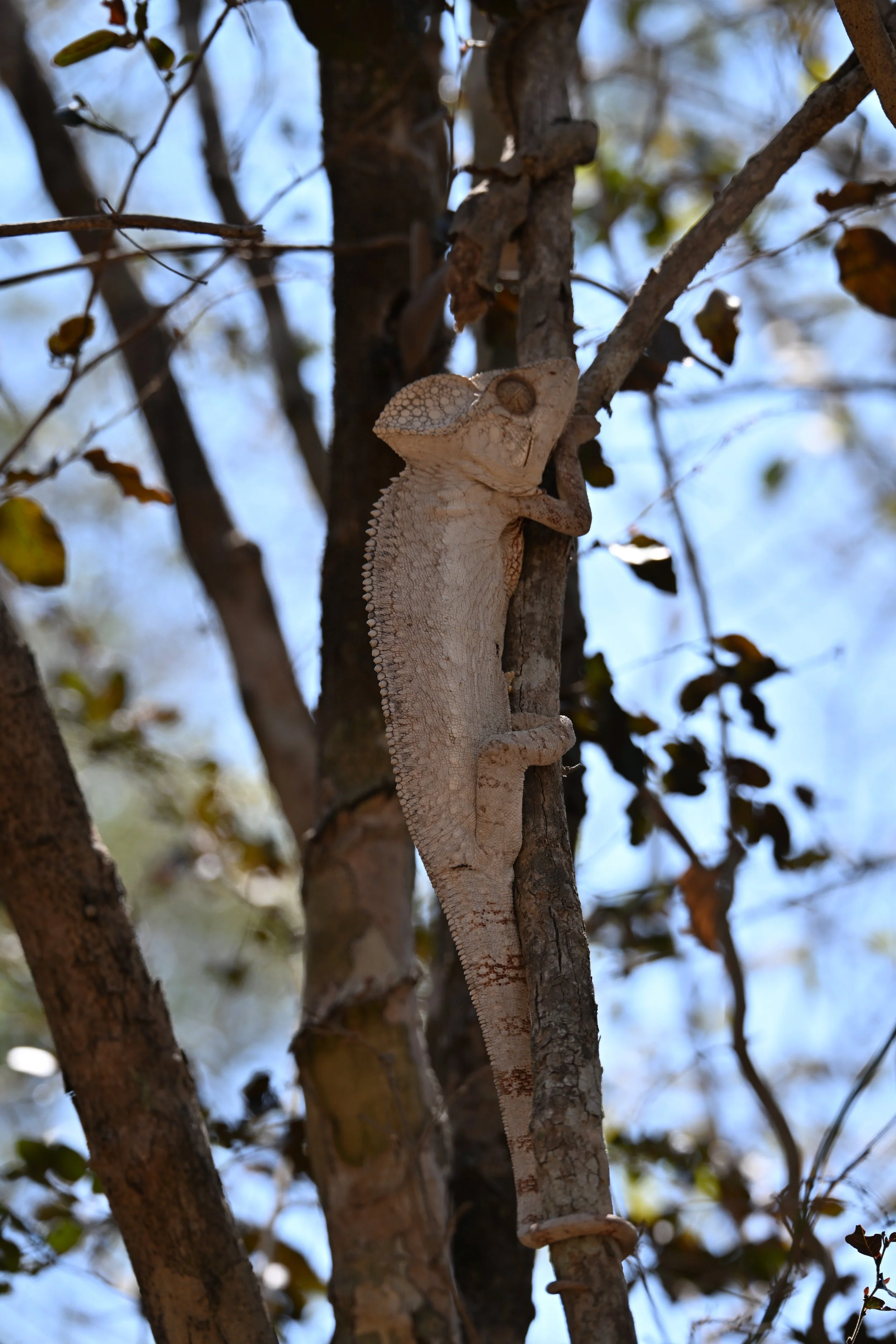
… and this neat looking Chameleon -
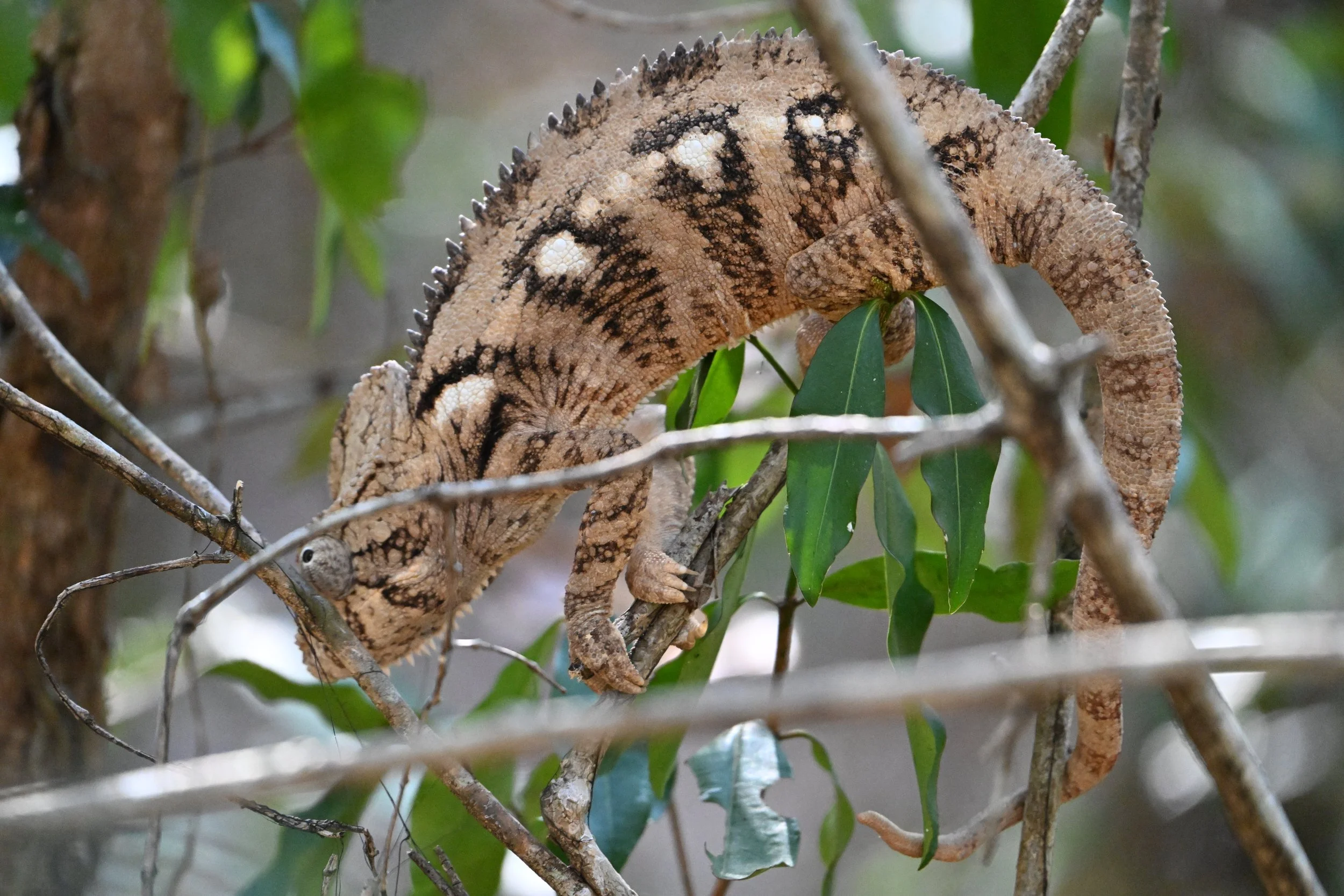
I love the 360 degrees each eye can swivel
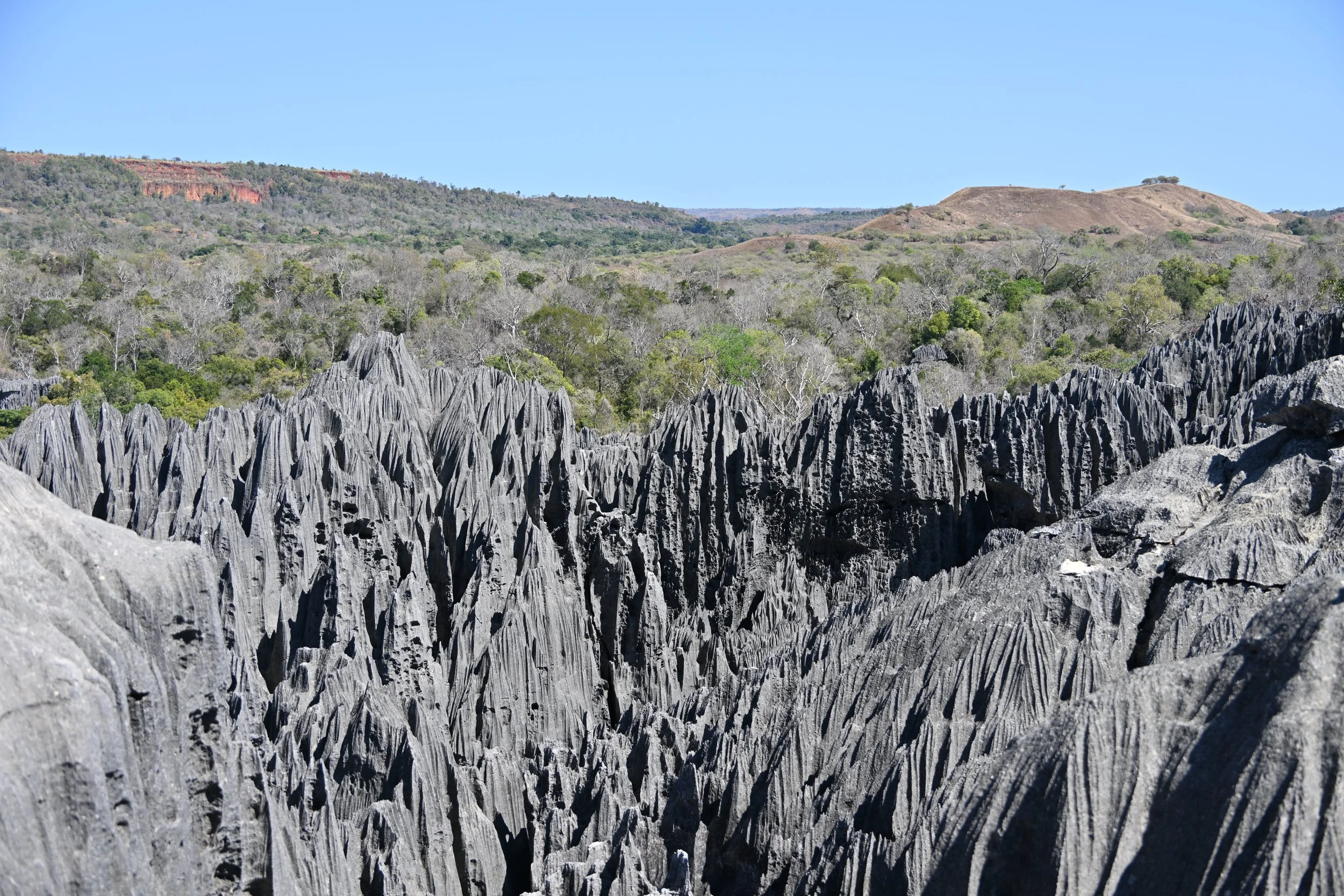
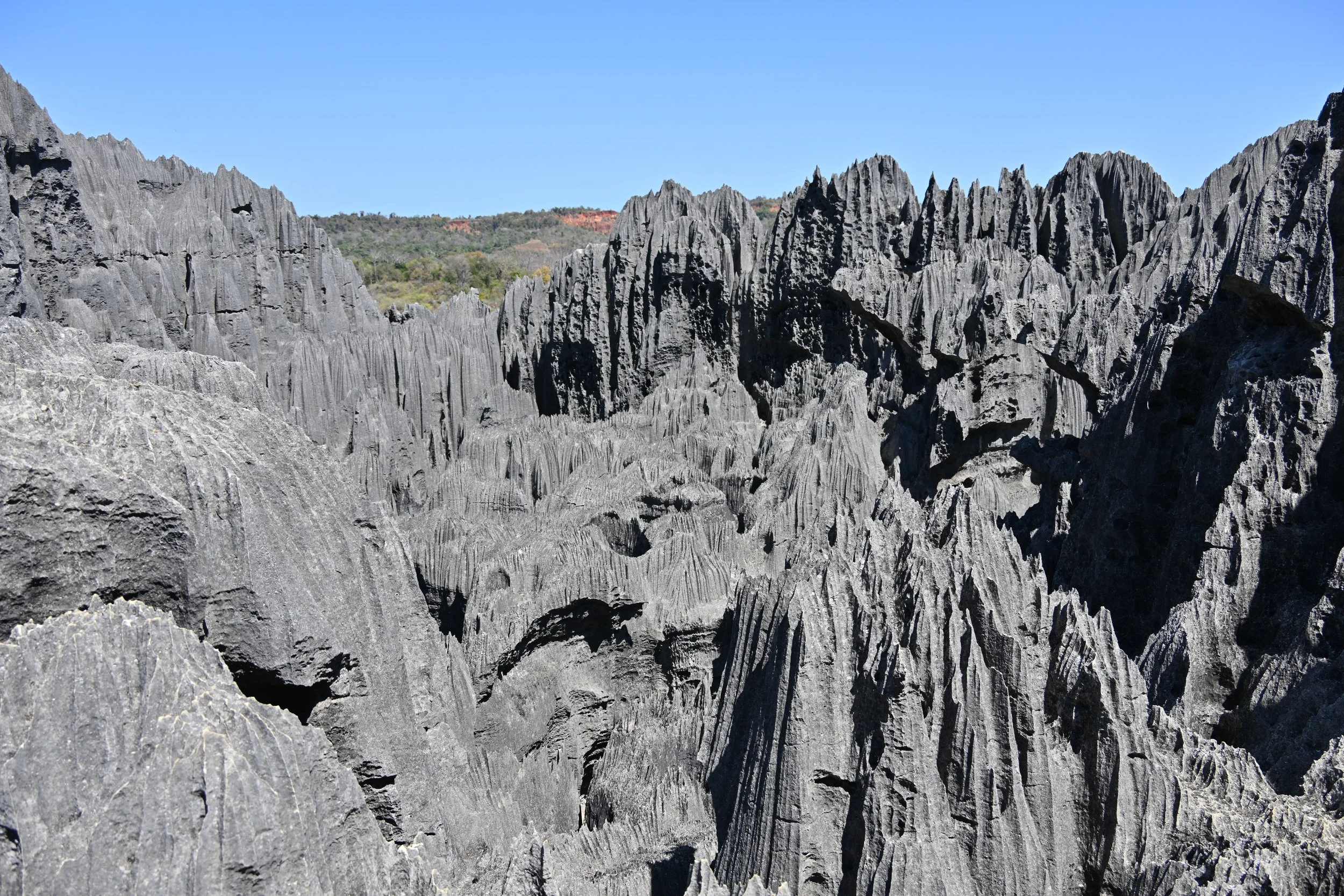
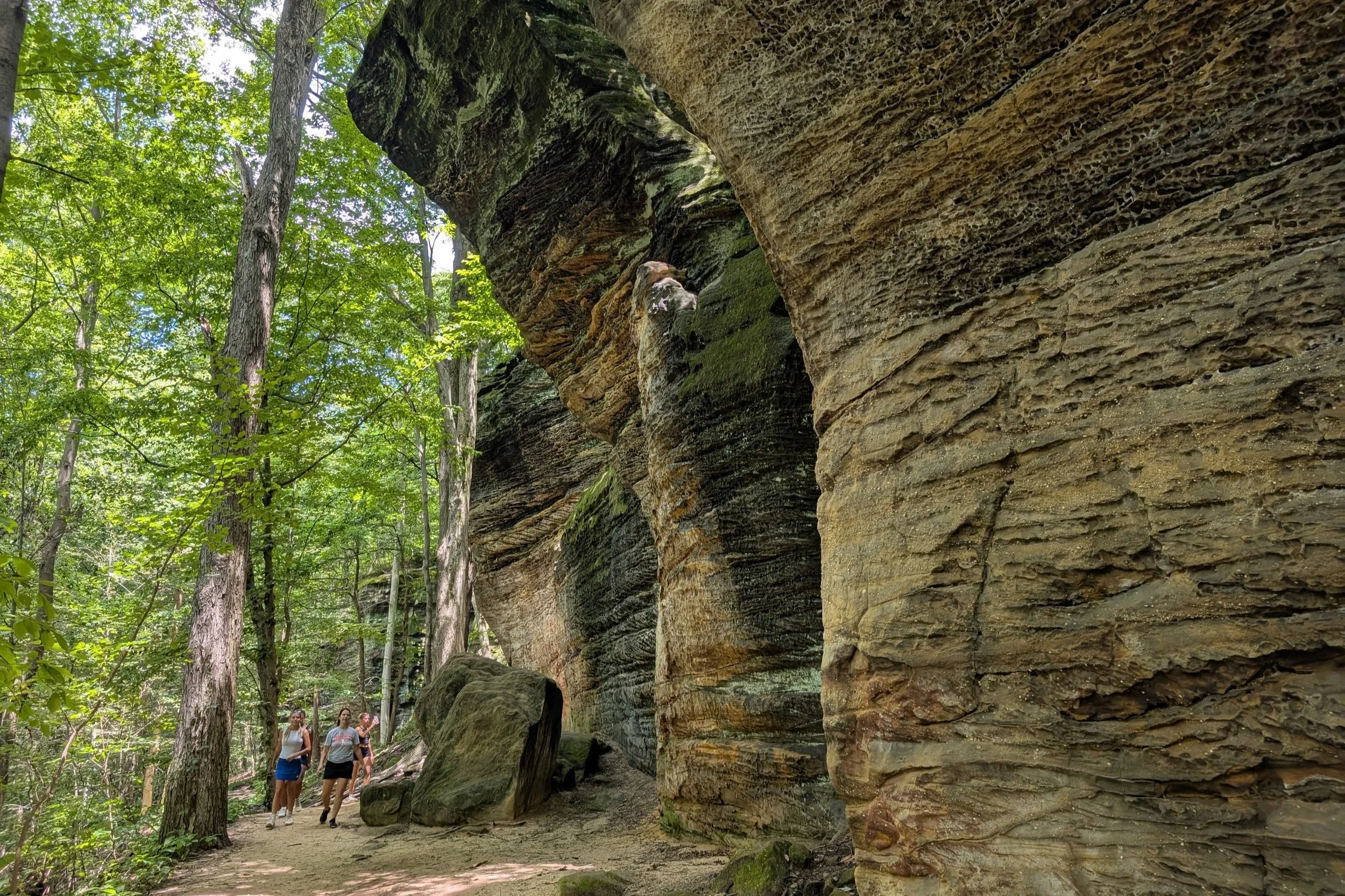
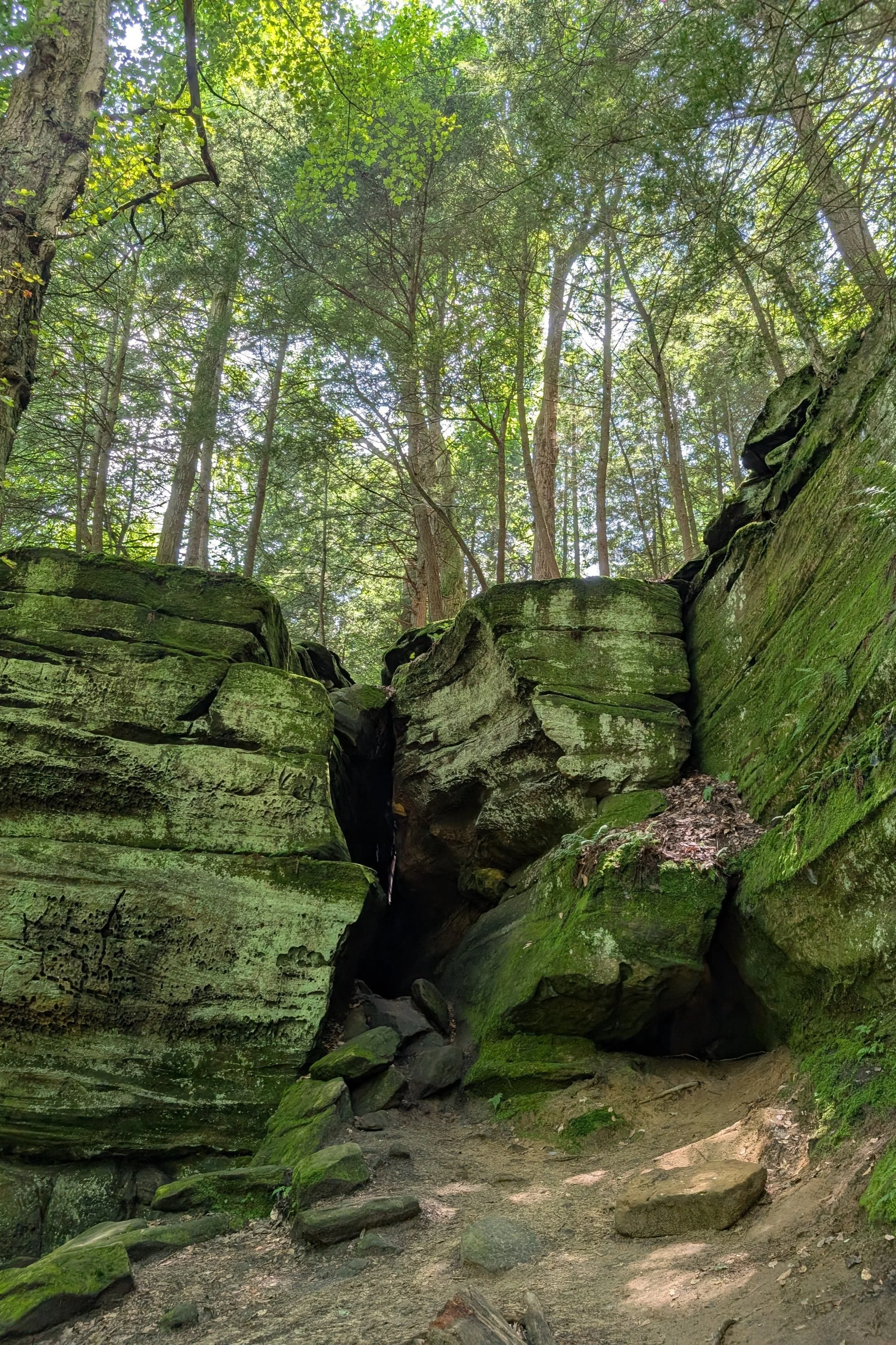
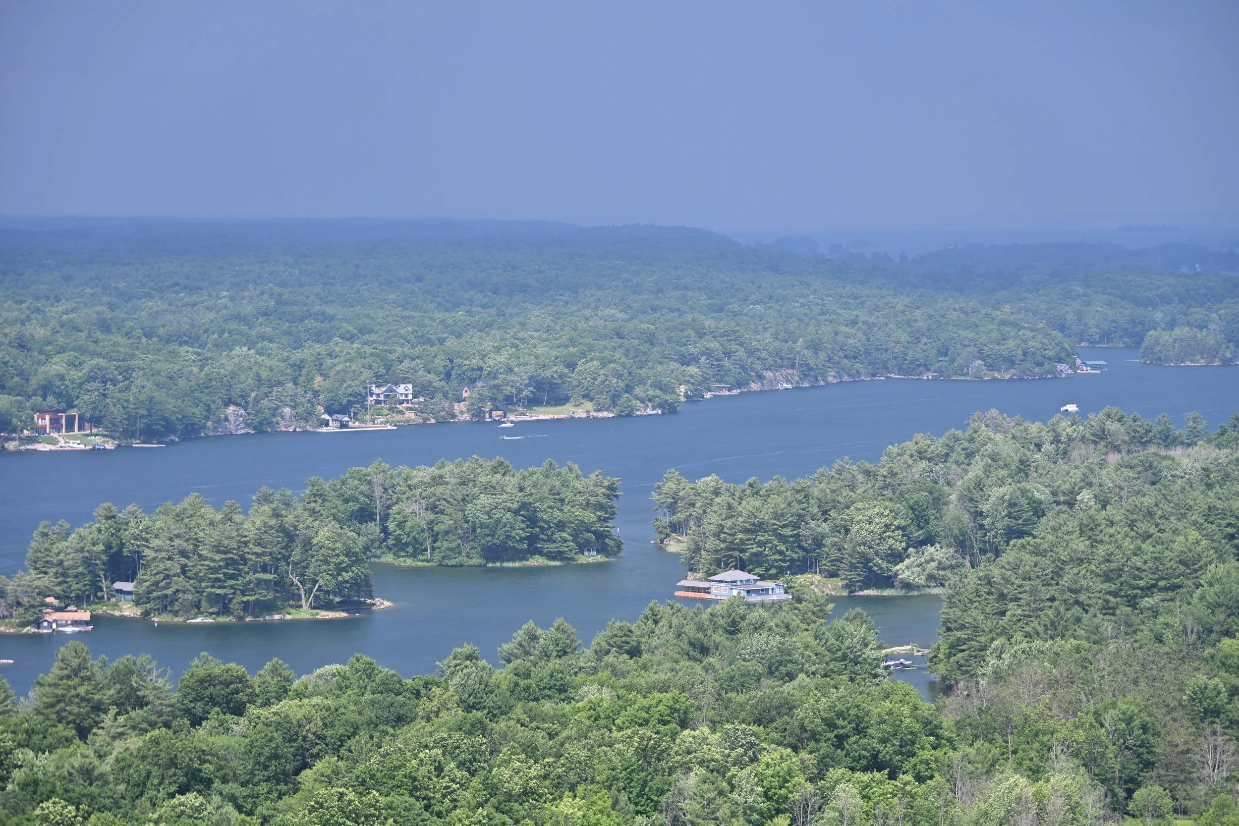
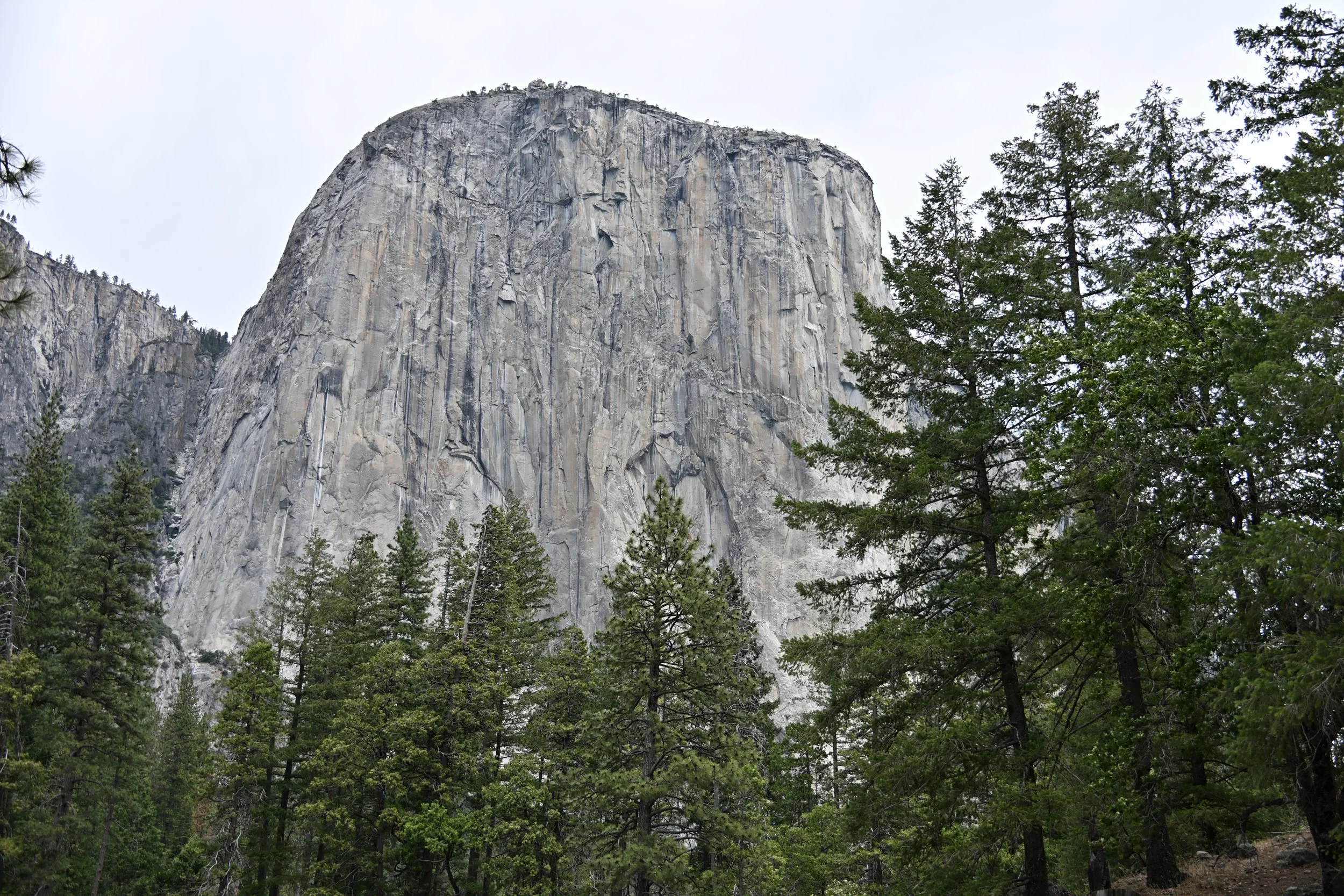
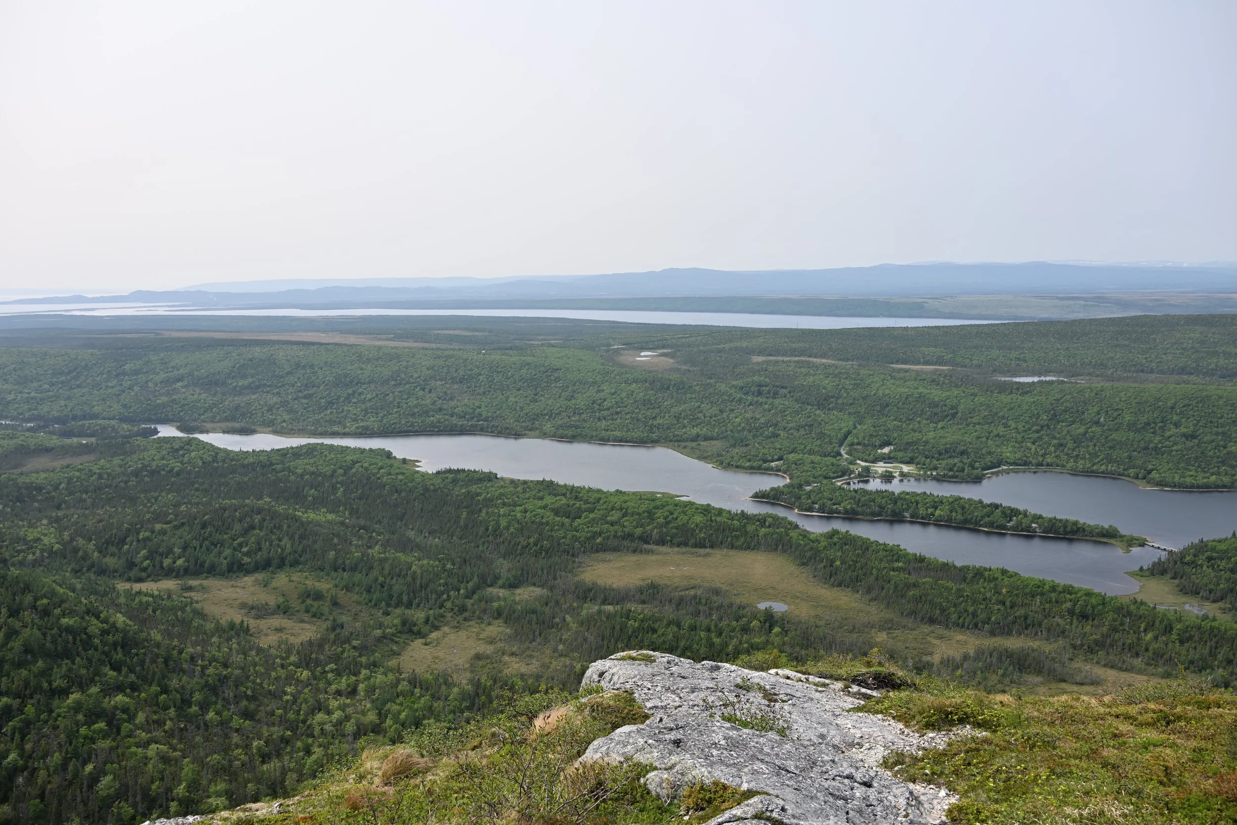
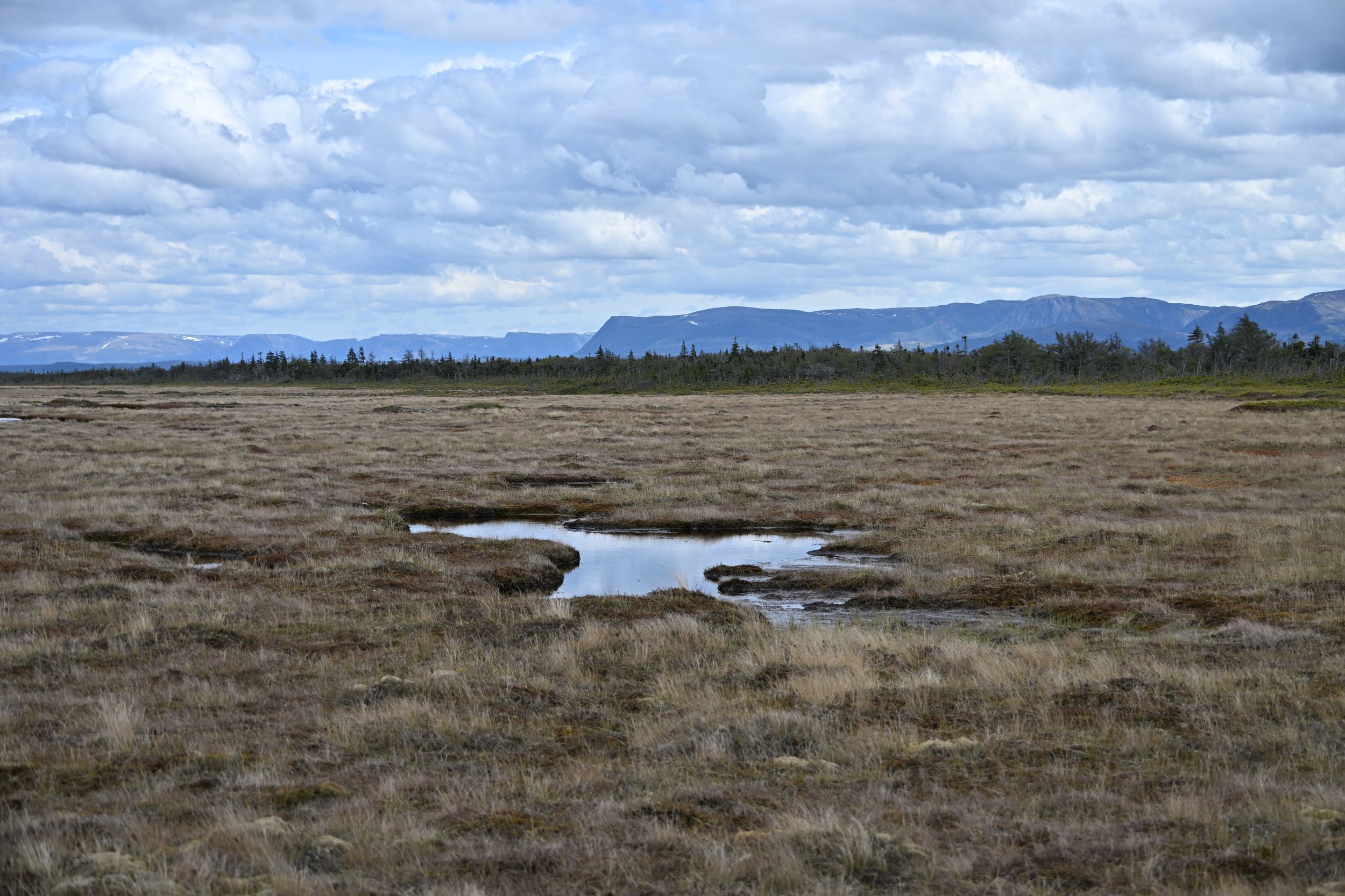
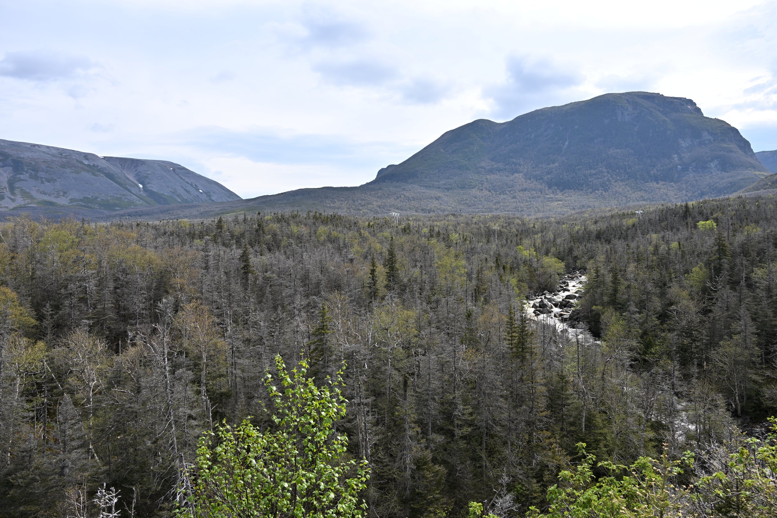
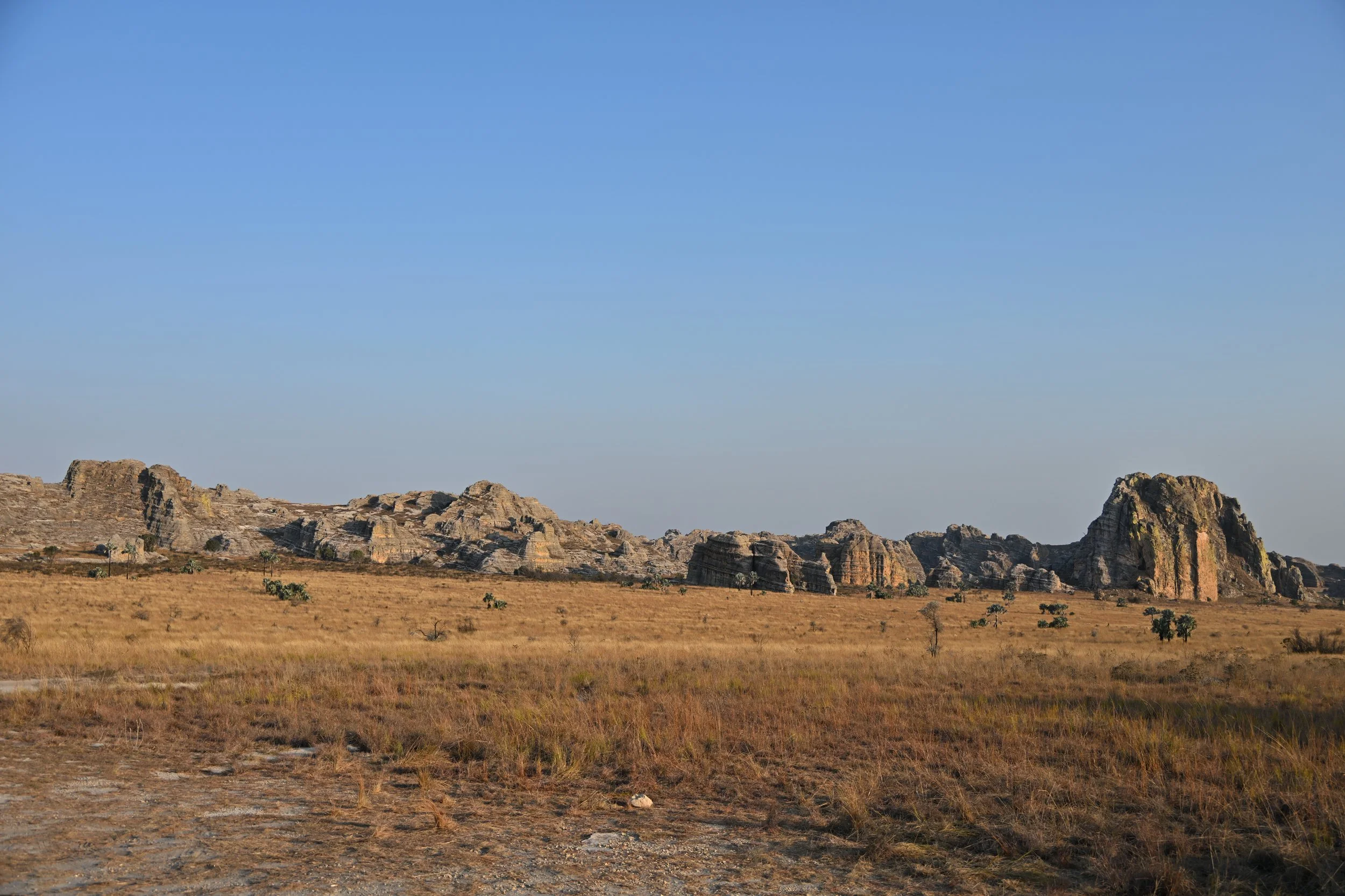
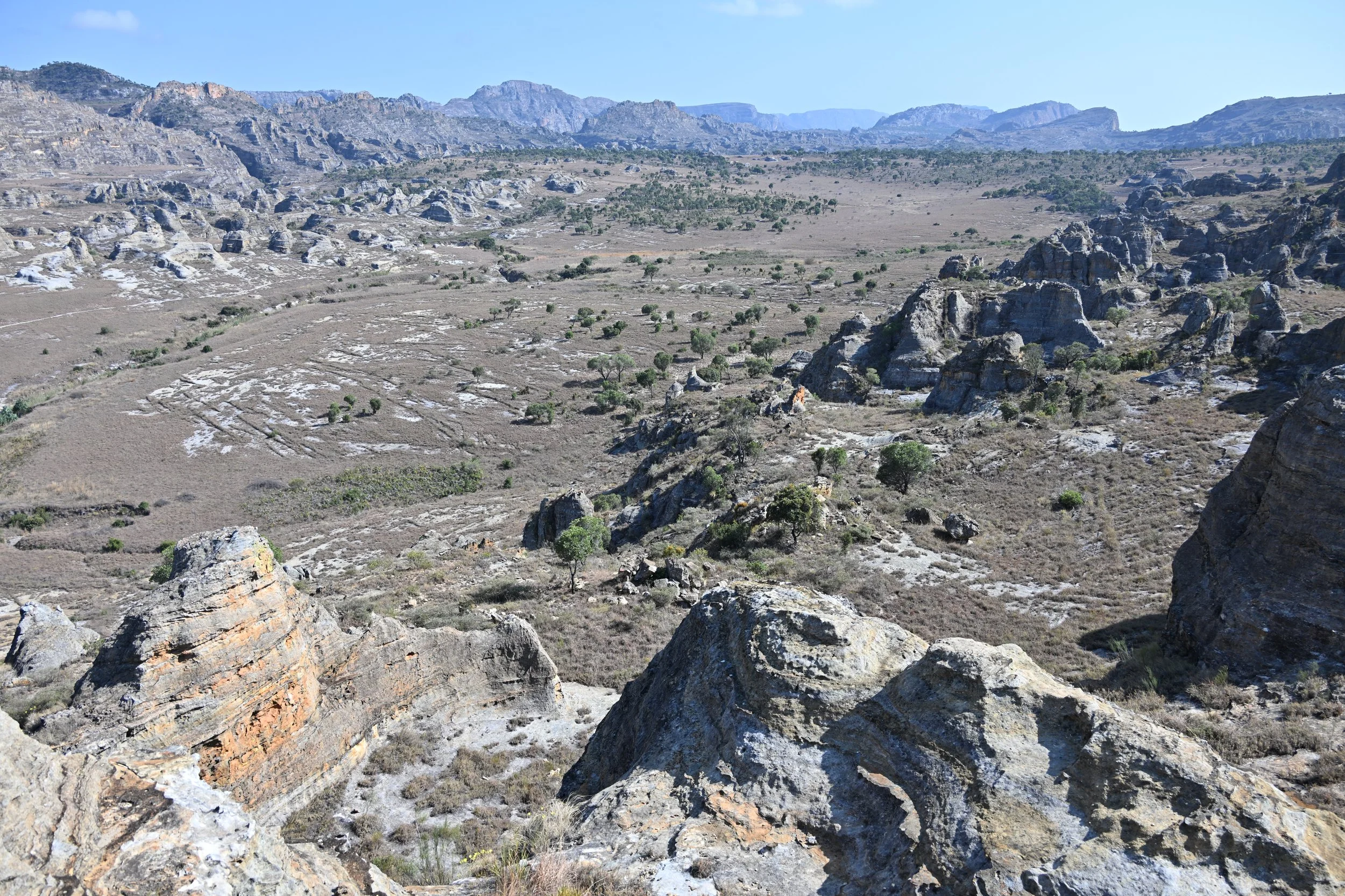
Our main destination was Isalo National Park, which is in the center of the southern part of the island and comprises more than 200,000 acres. As we approached, we saw more and more rock ridges appearing out of the dry grasslands -

On our way to our evening activity, this ridgeline glowed warmly in the “golden hour” -
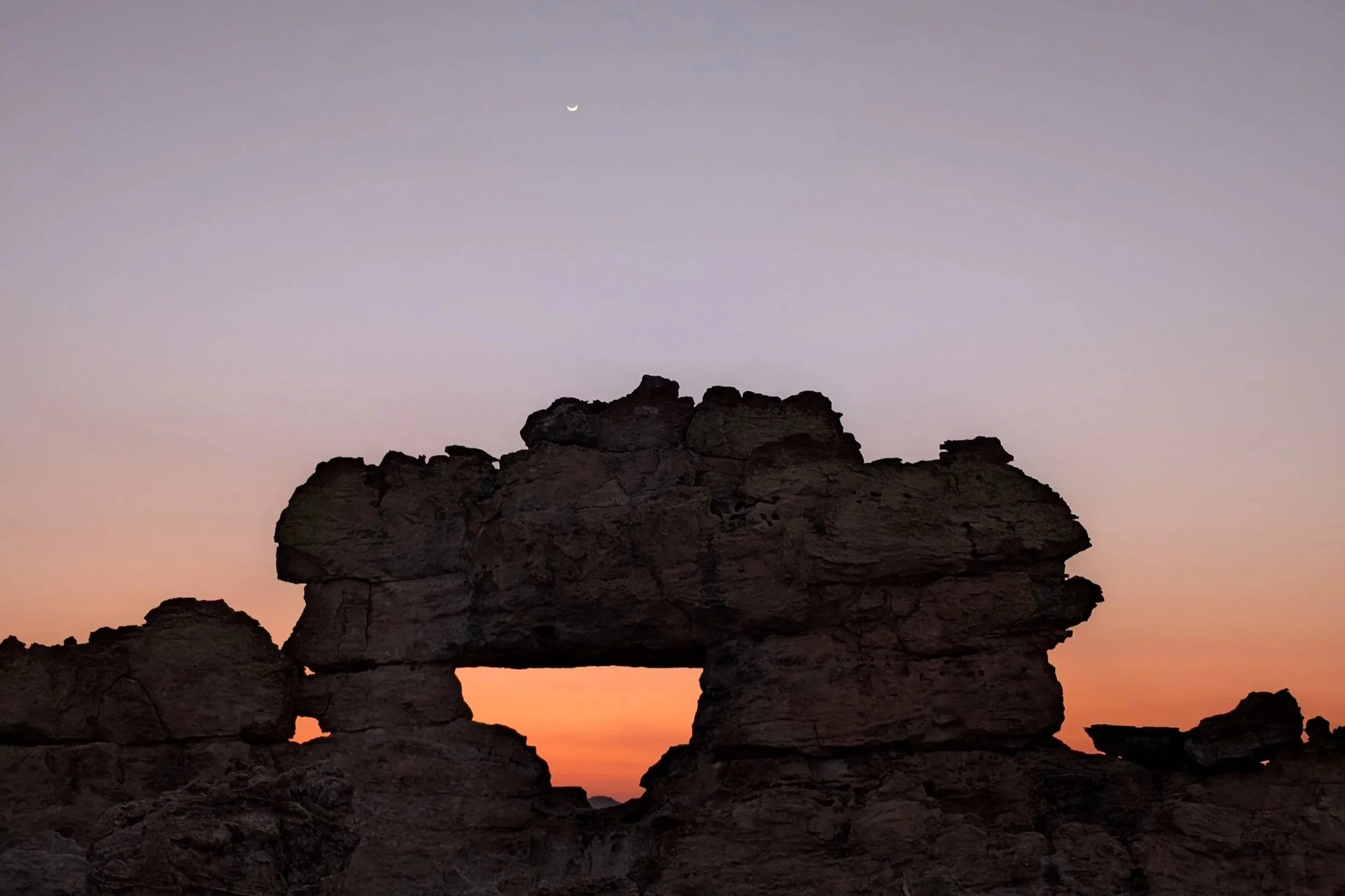
We had come to see the Isalo Window…
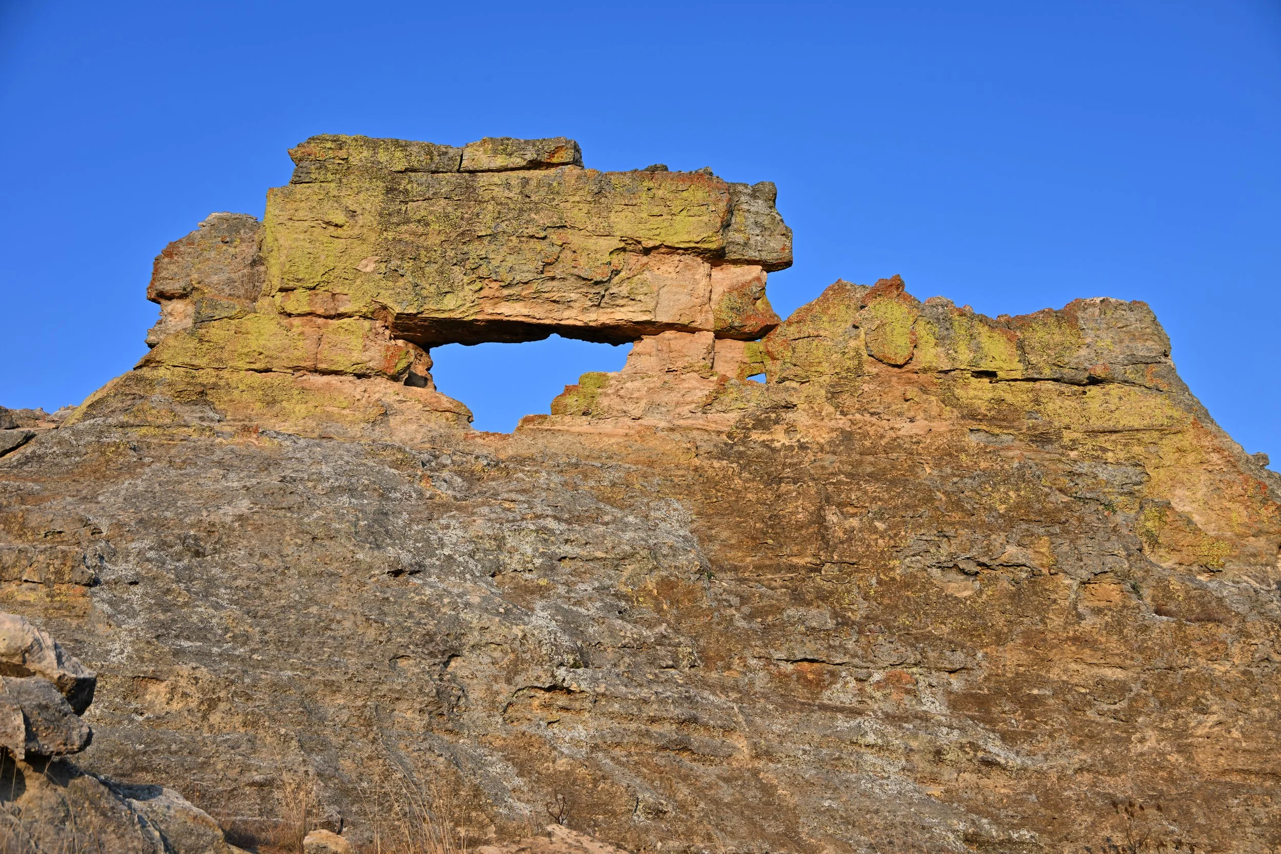
… at sunset -

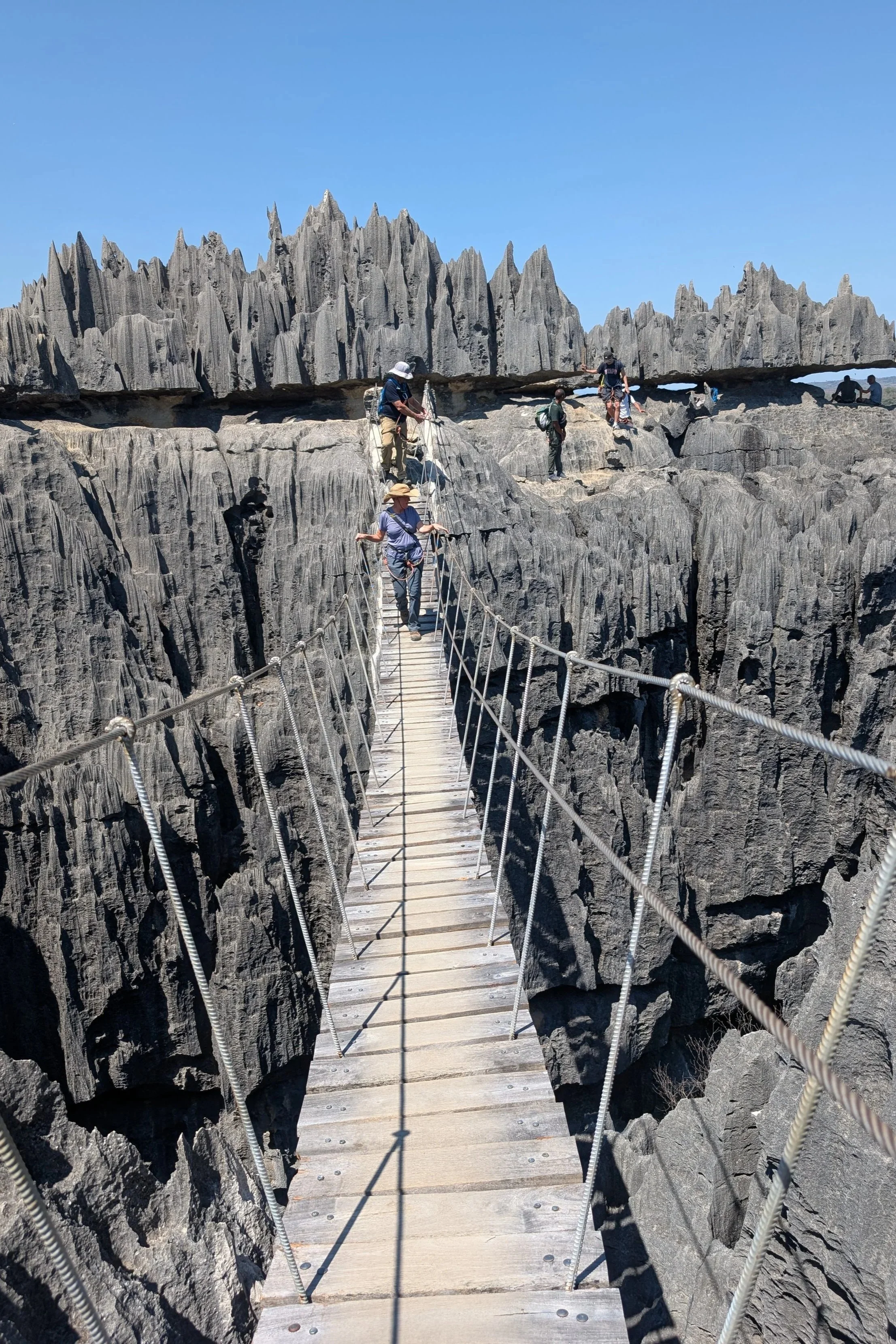
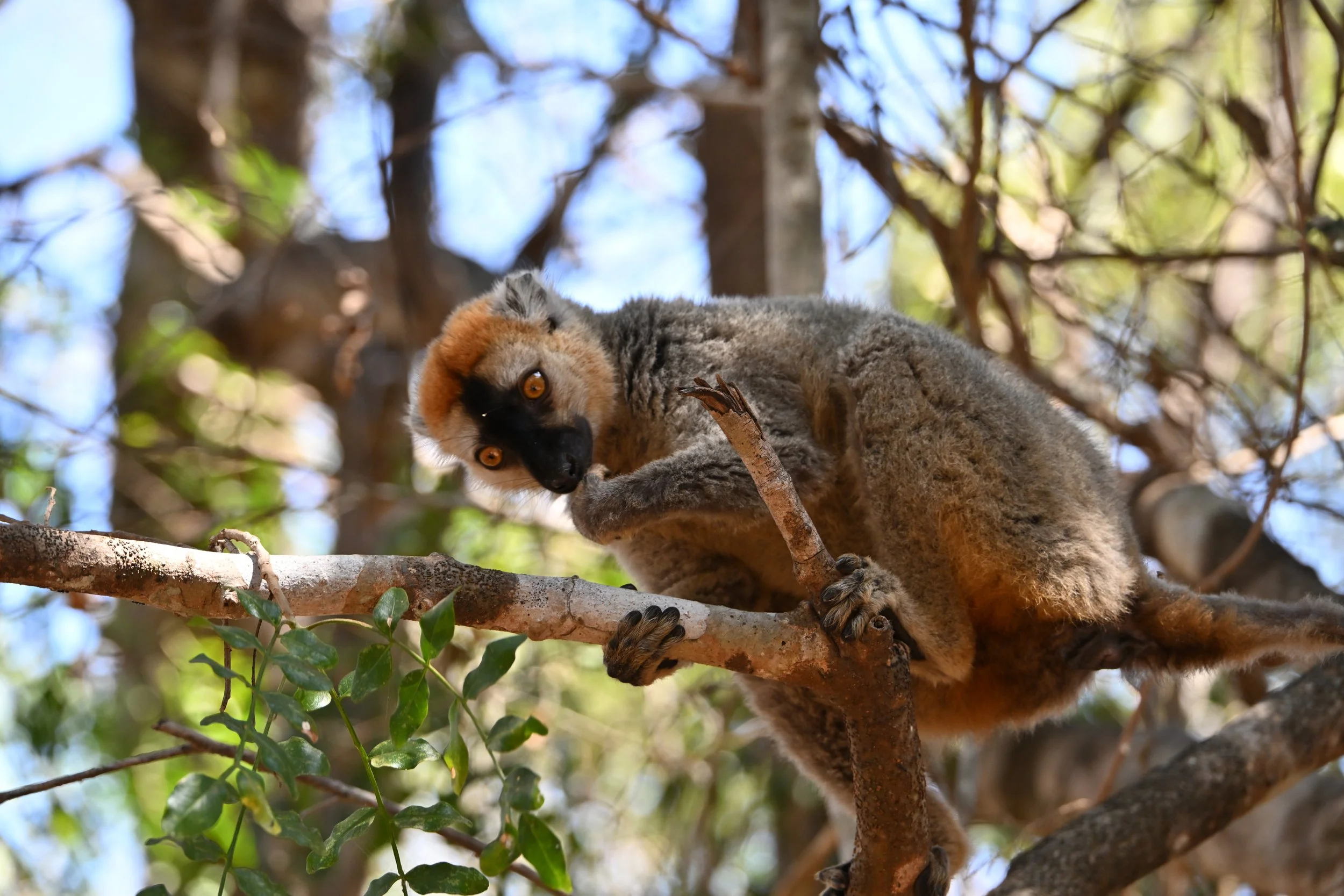
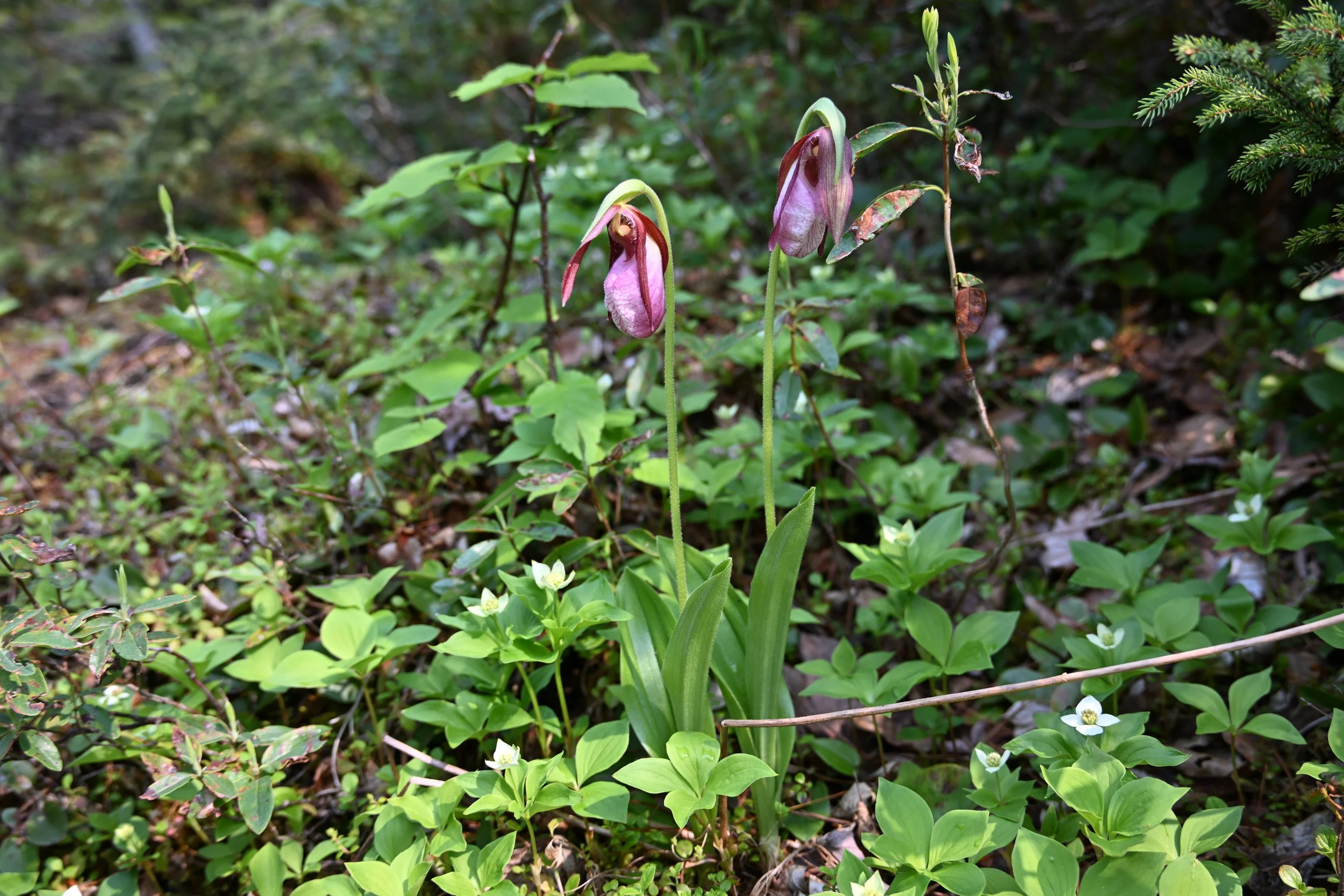
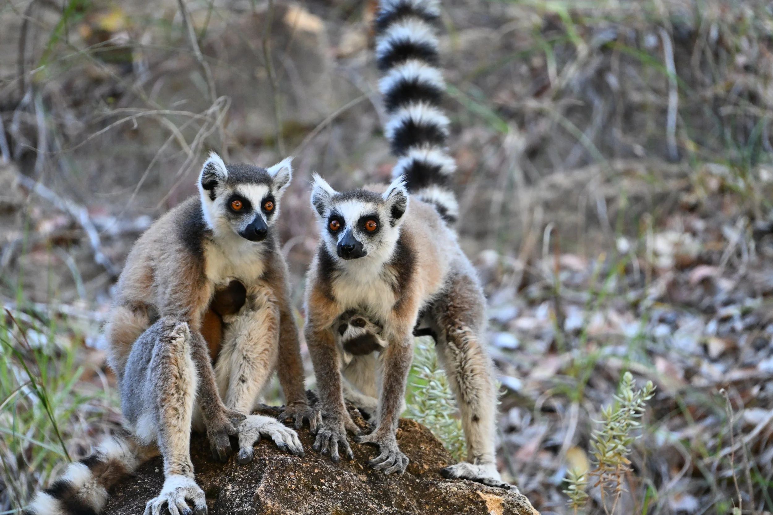
The next morning we met a local guide for the park, who took us on a 5 hour hike. We got to see some Ring-tailed Lemurs with babies…
…Stick insects…

this was a massive example; the eye and teeny-tiny mouth are on the right
… grand vistas…
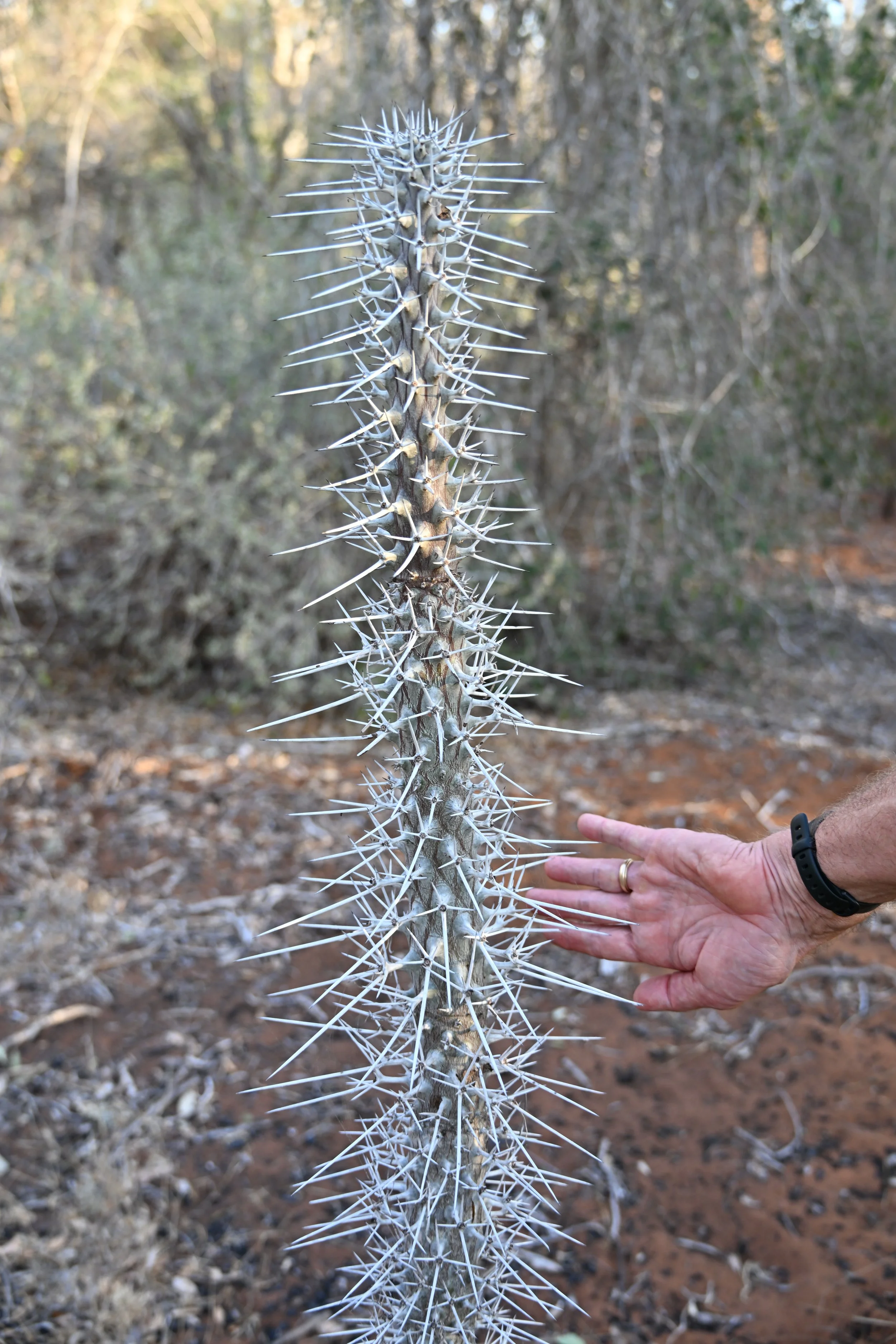
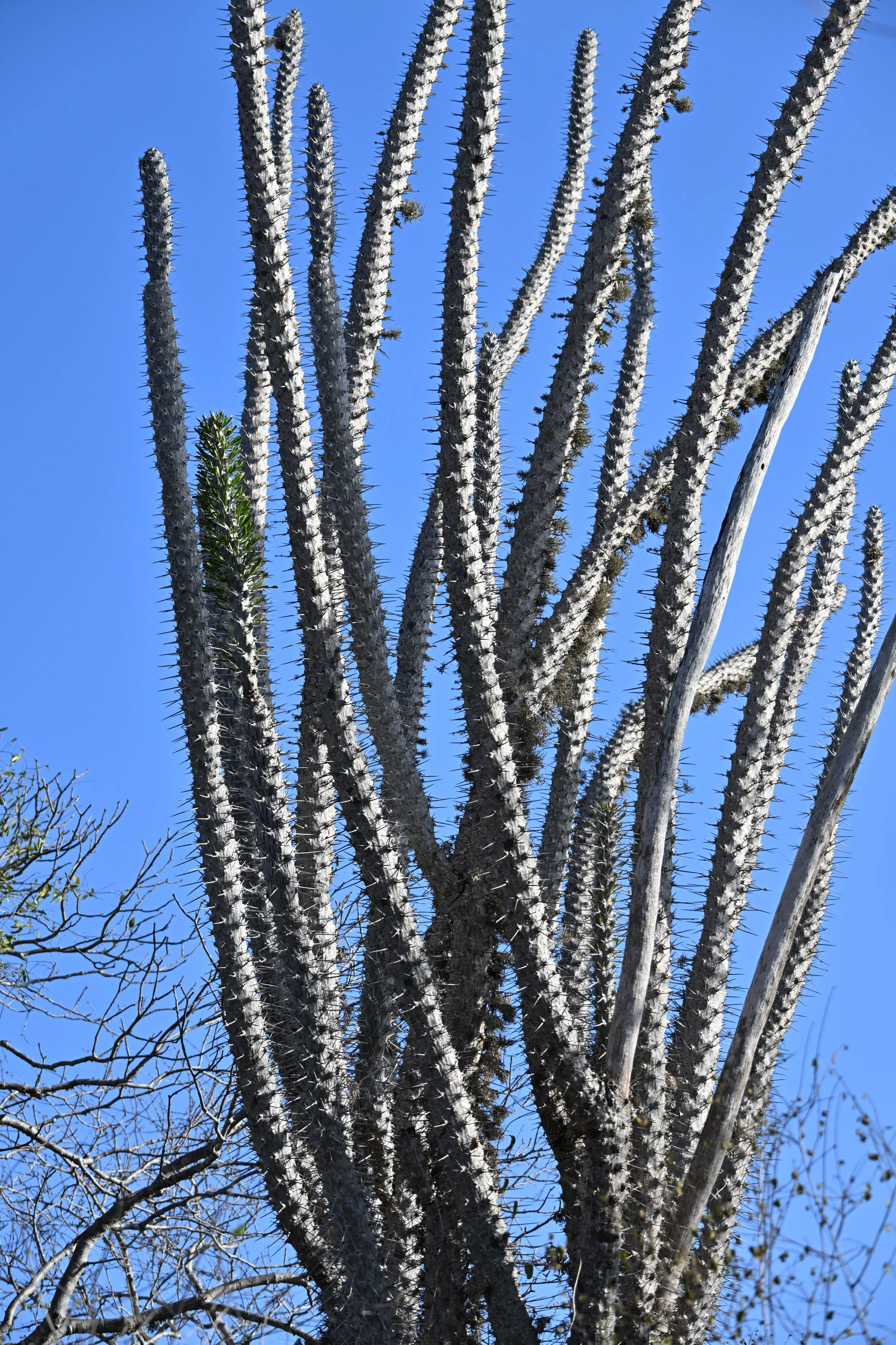
… and unique plants -
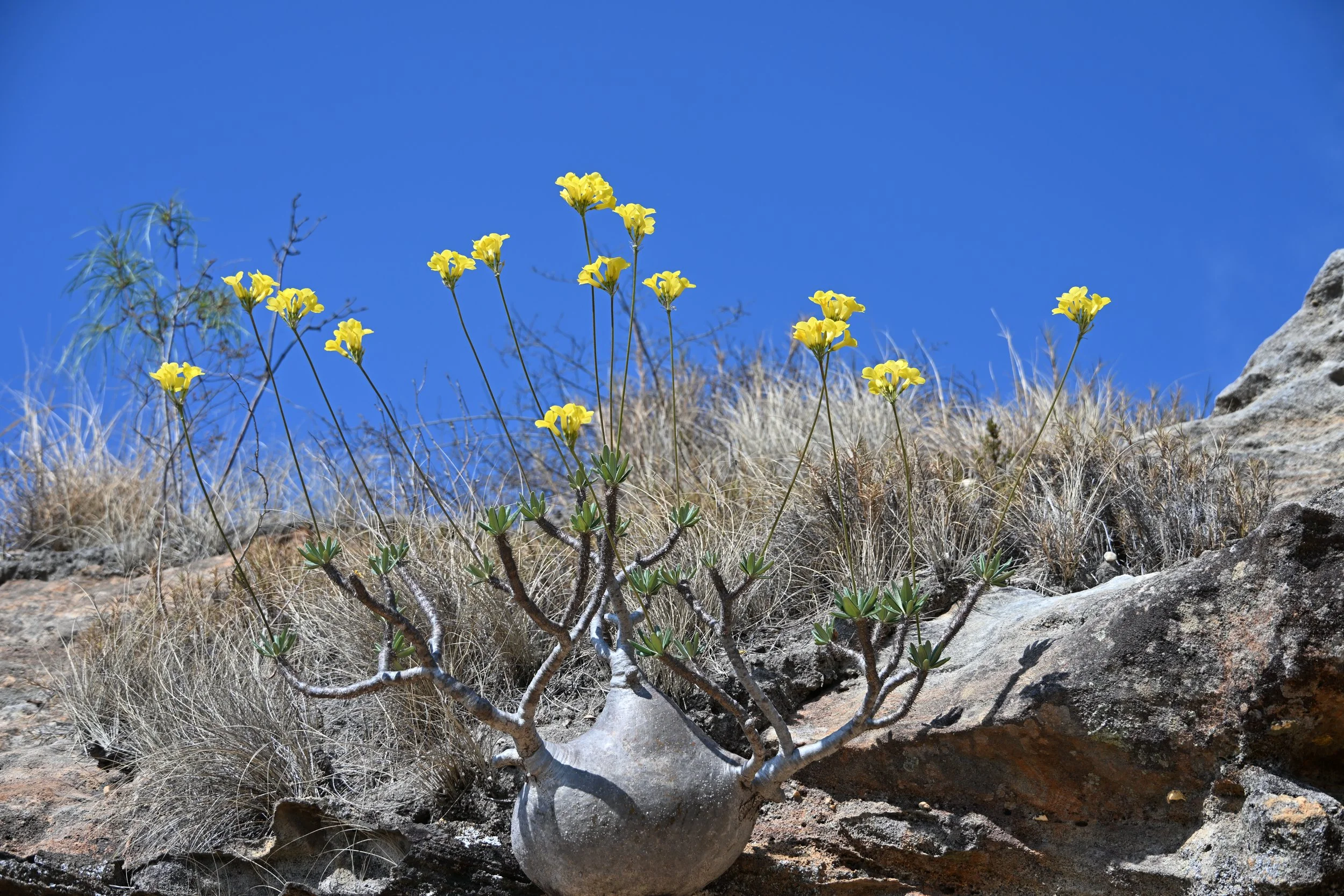
Pachypodium - mistakenly called “dwarf baobab”
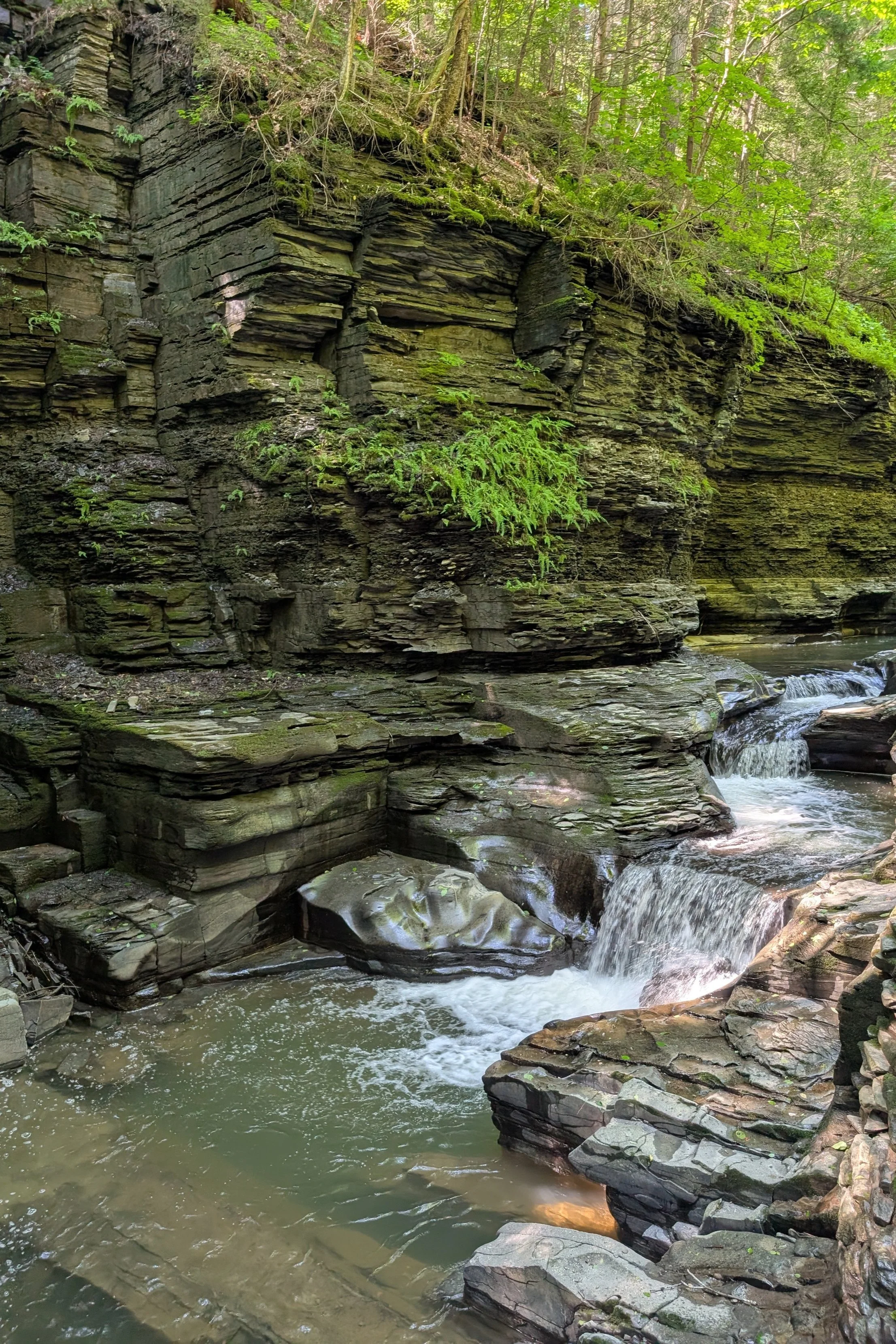
The trail headed down to a stream…

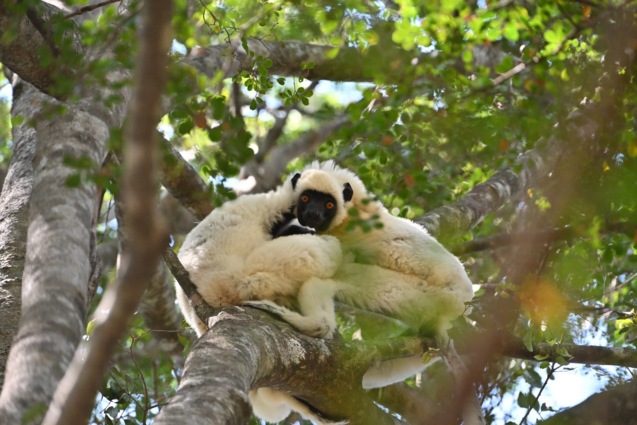
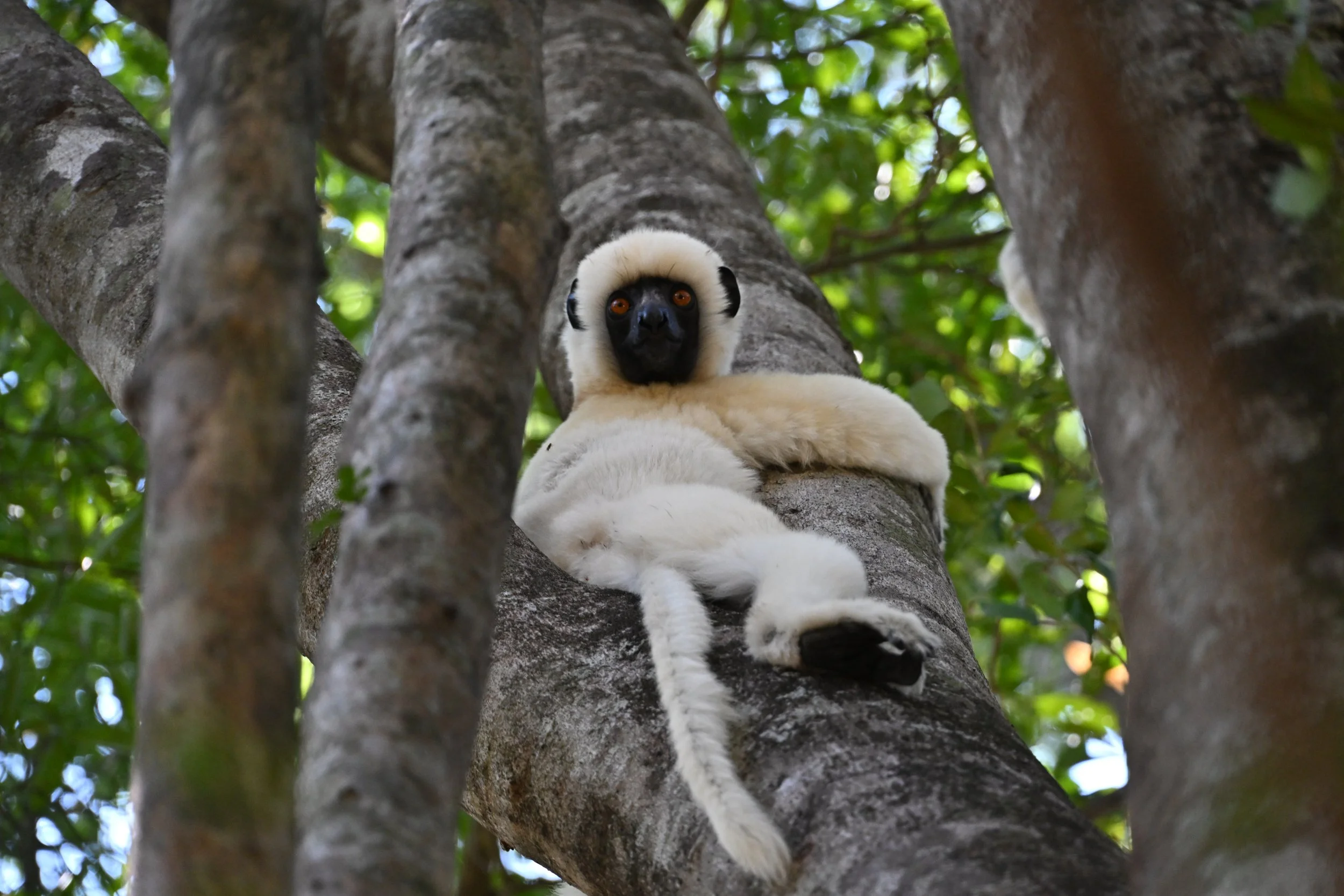
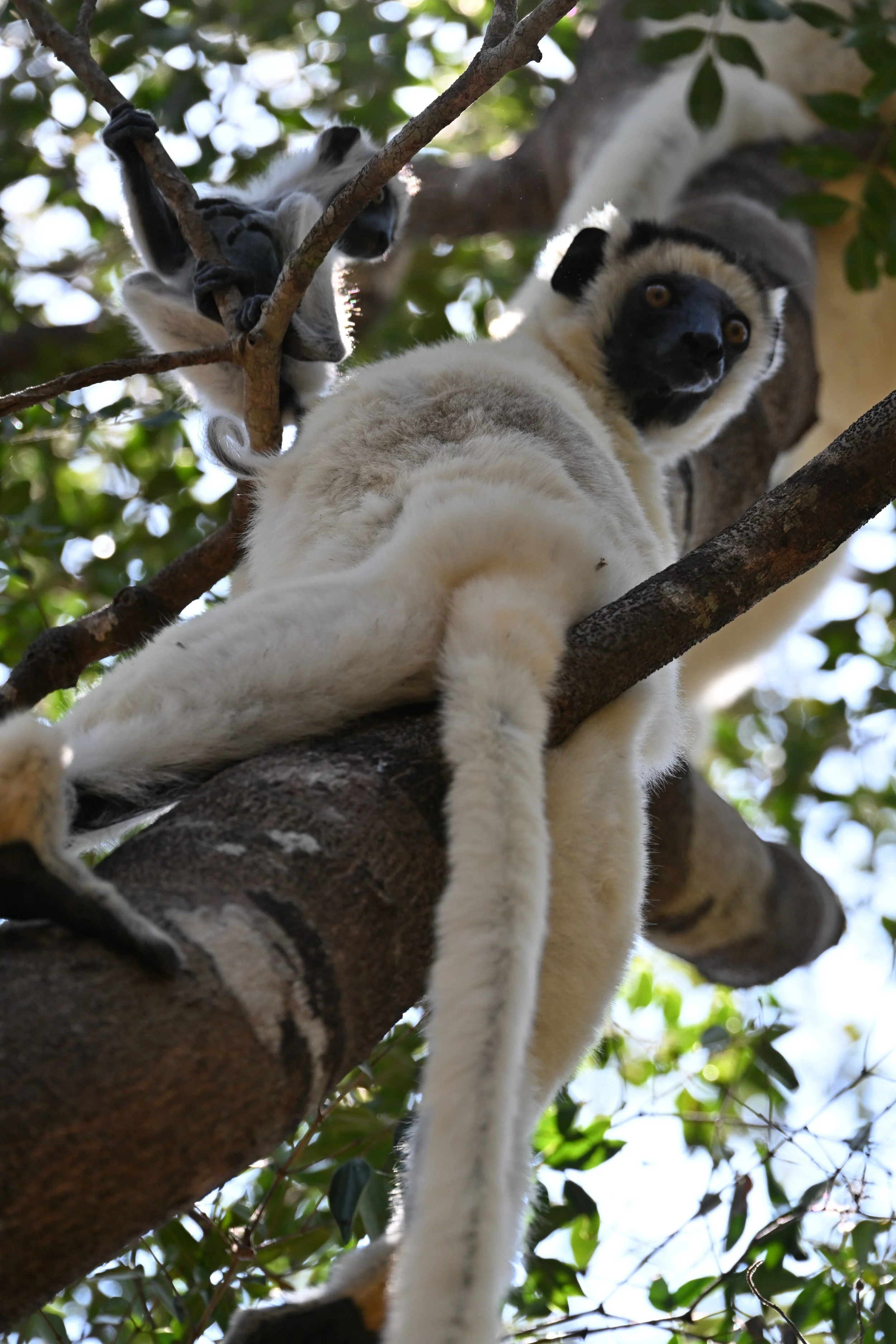
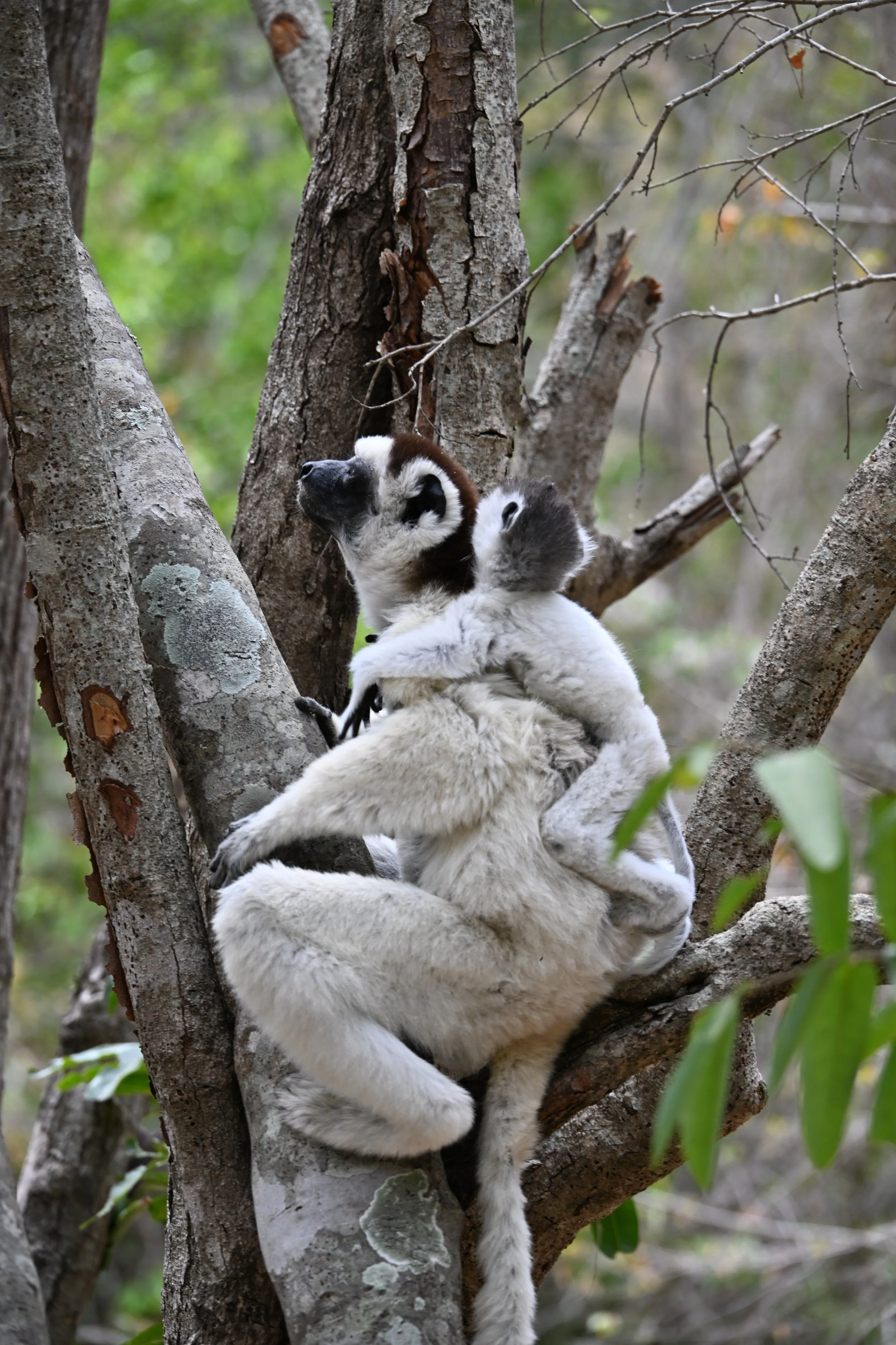
… where we met more lemurs in the woods, including a Sifaka with a baby -
Then a pair of Sifakas showed why they’re dubbed “dancing lemurs” (video alert - open this post in a browser by clicking the link at the end of the email) -
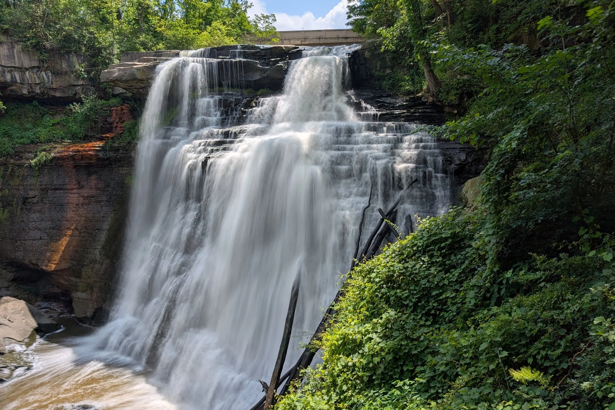
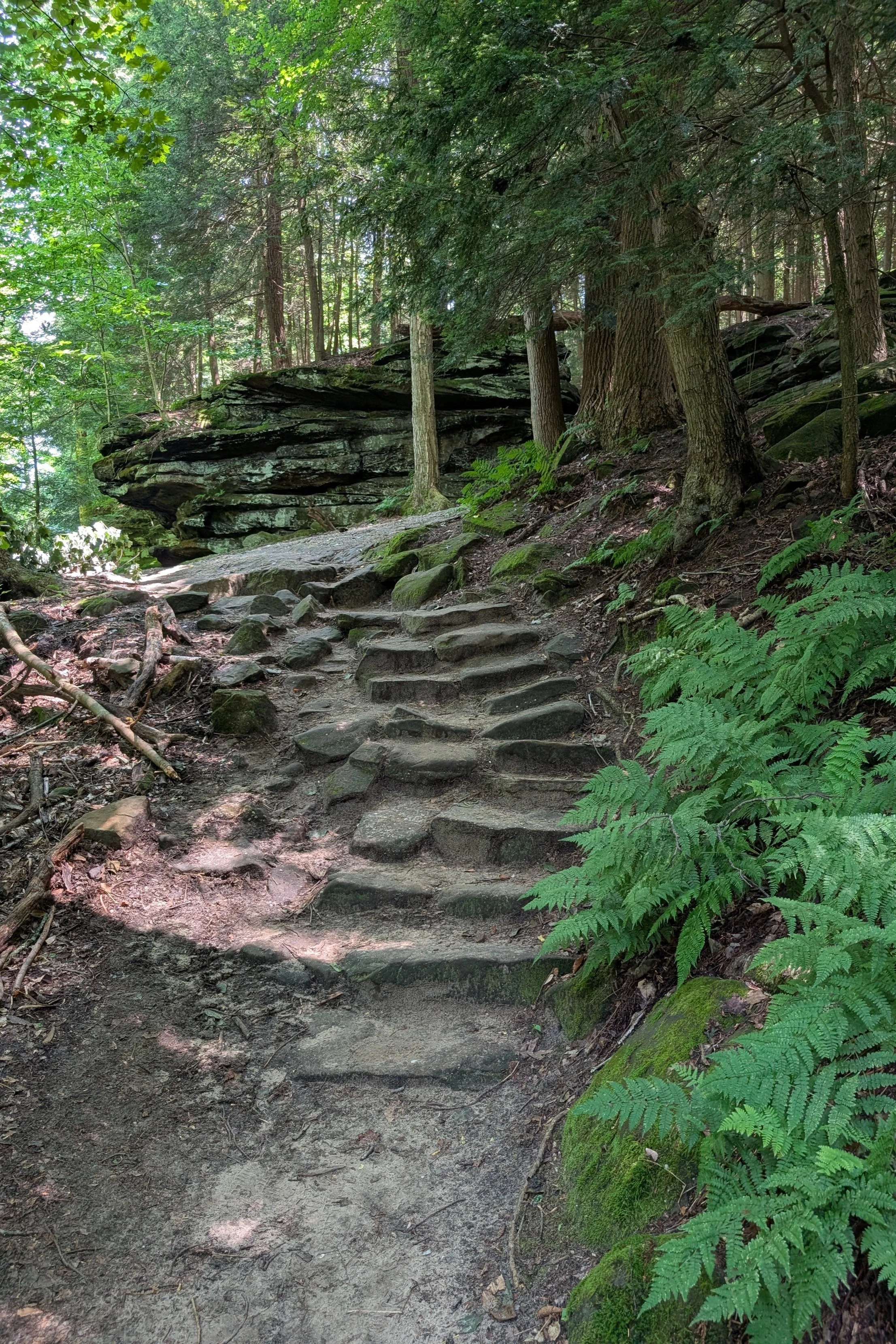
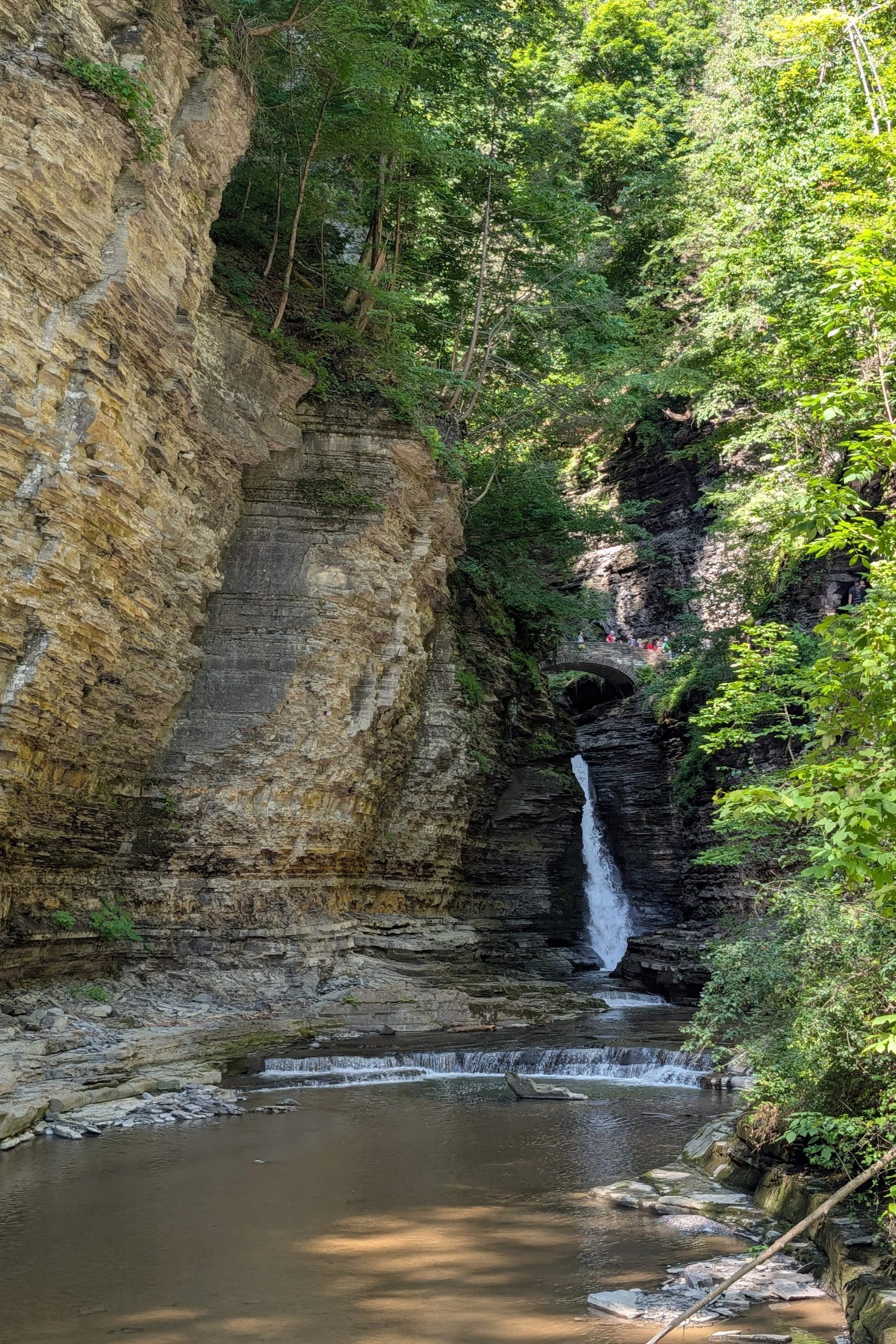
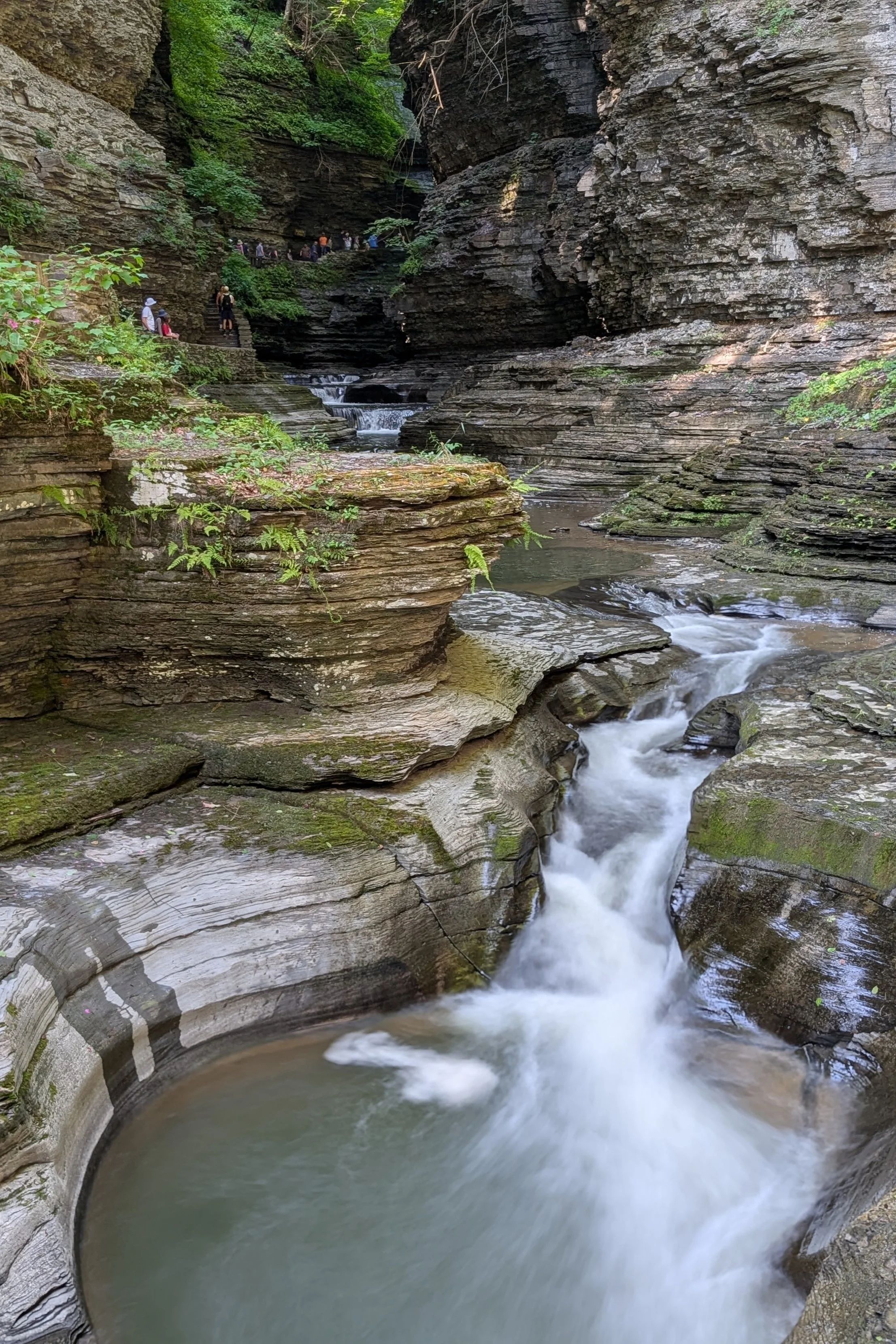
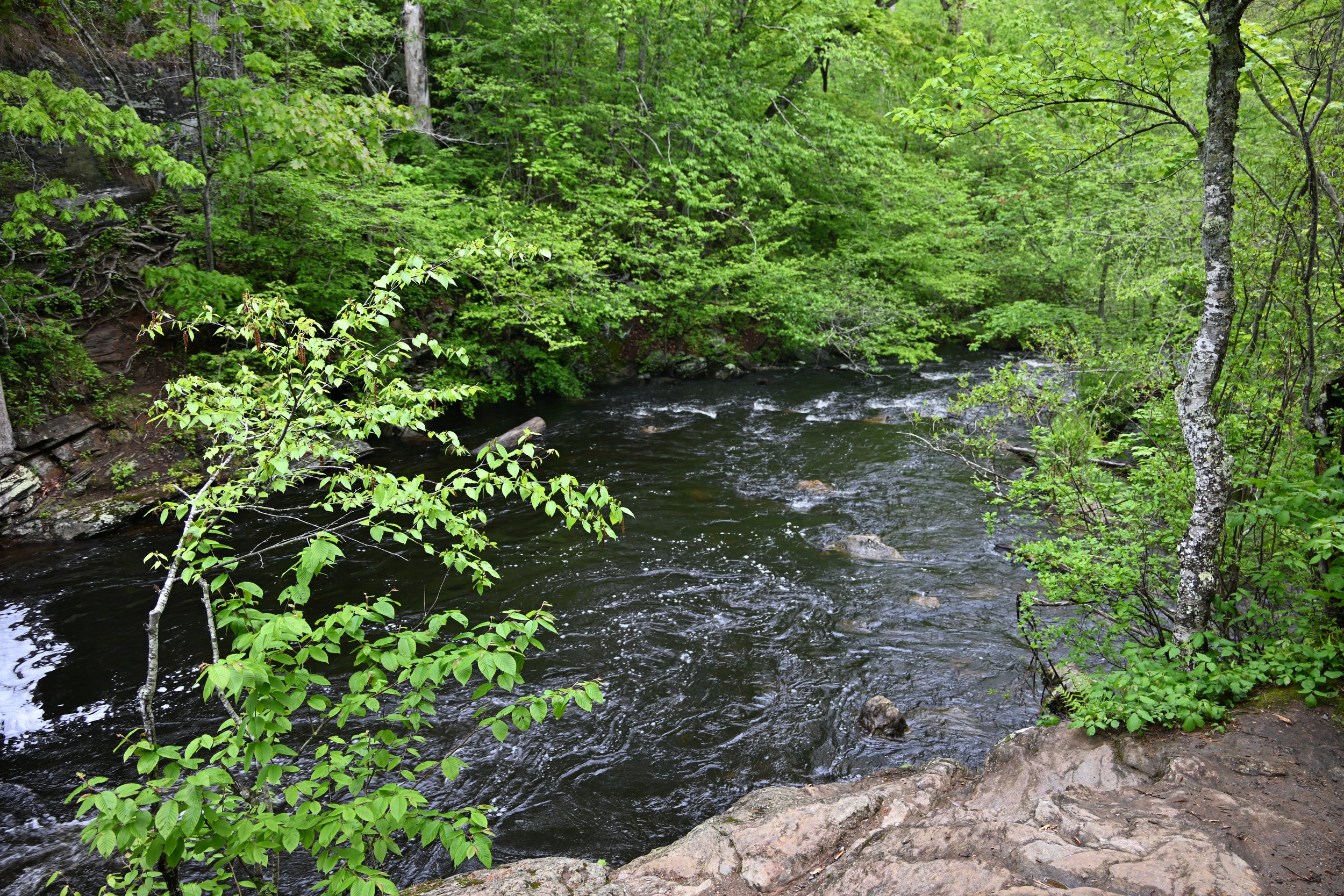
We dropped down to the stream and were transported into a very different micro-climate from the hot, dry desert we’d hiked across. Suddenly everything was cool, shady and moist -

And there was even a refreshing waterfall and pool -

Coming back out into the dry forest, I was mesmerized by this chameleon’s movement -
So to close this post…on the previous night, after the crowd around us got their sunset shots, they all took off. But we know that the most beautiful light is about 15-20 minutes after sunset -