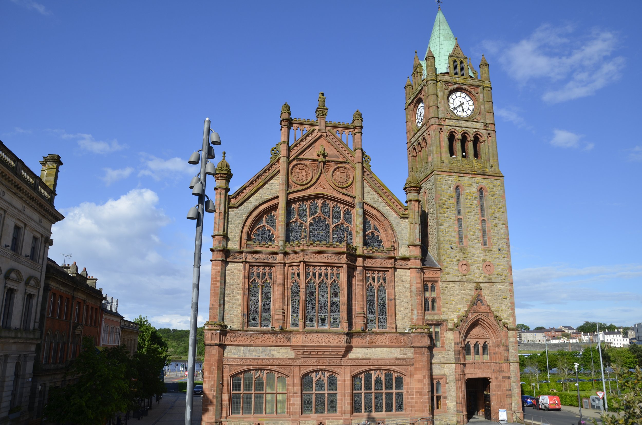
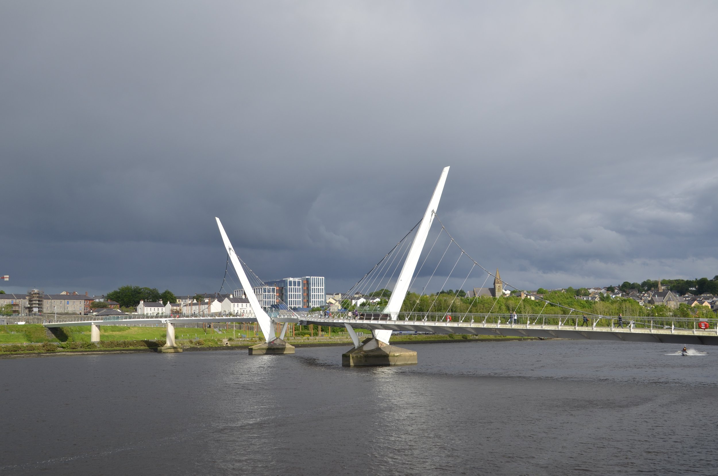
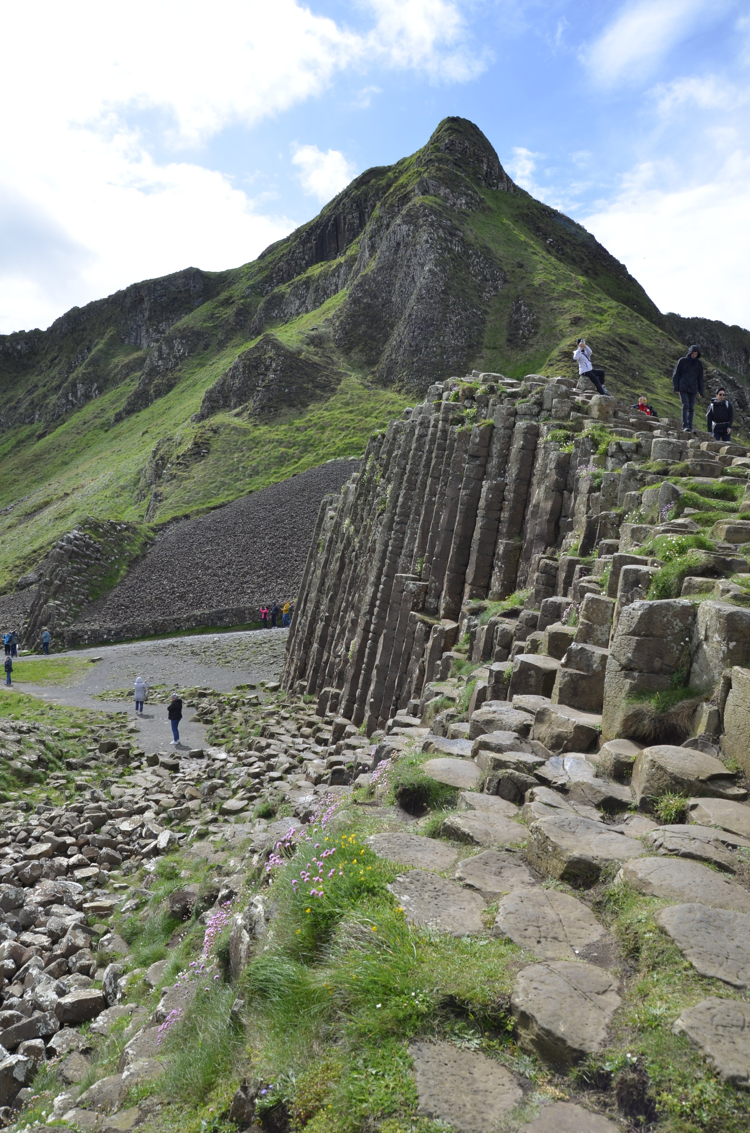
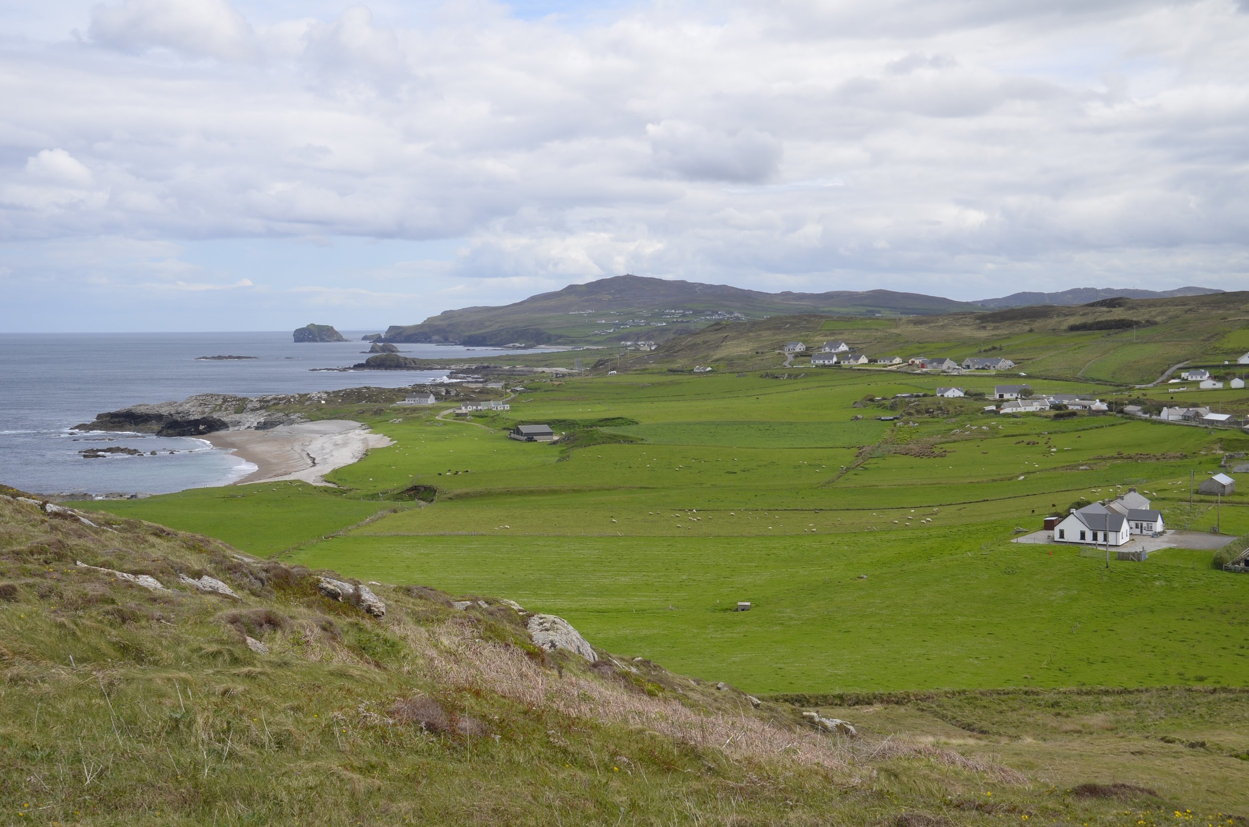
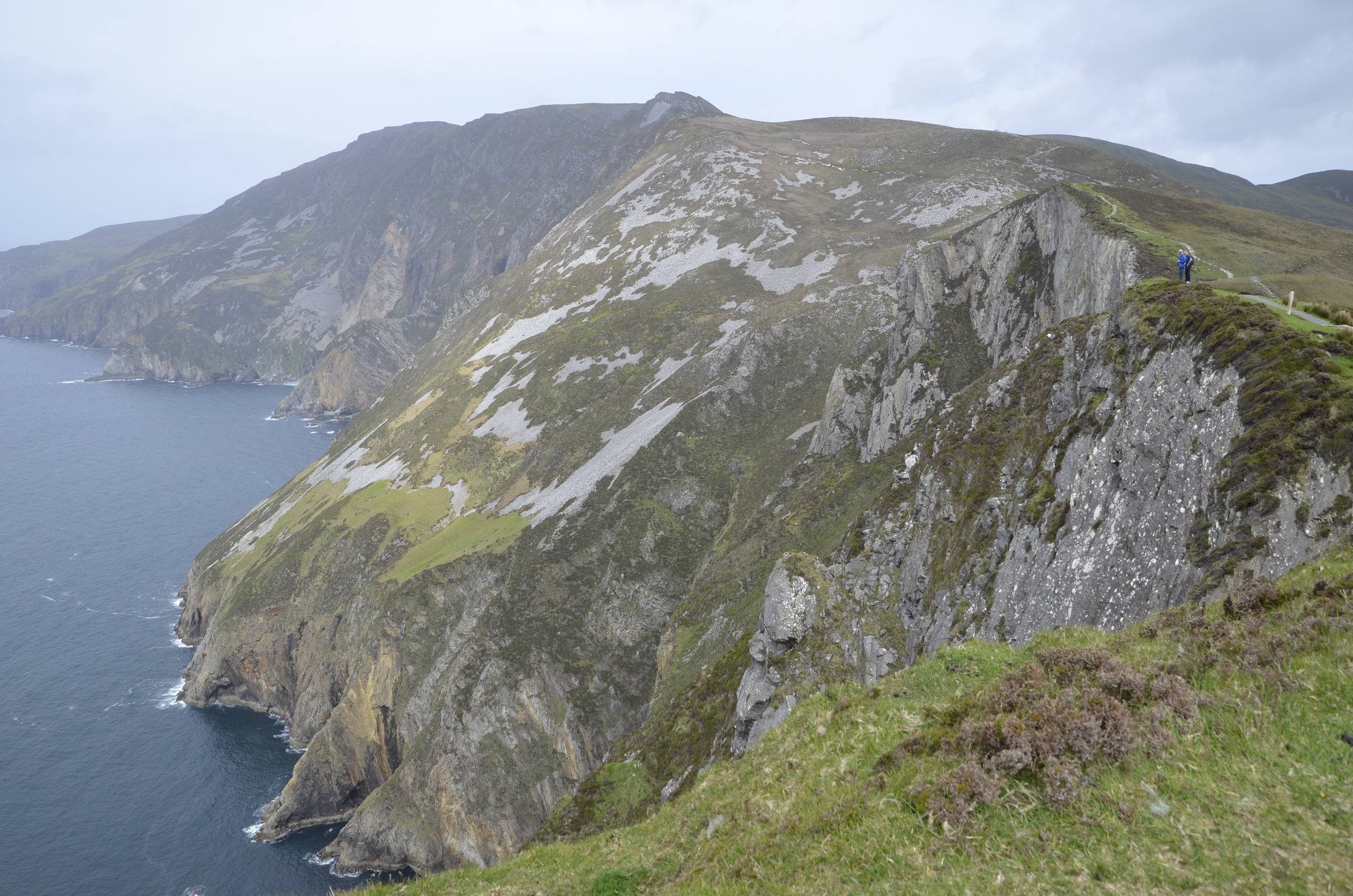
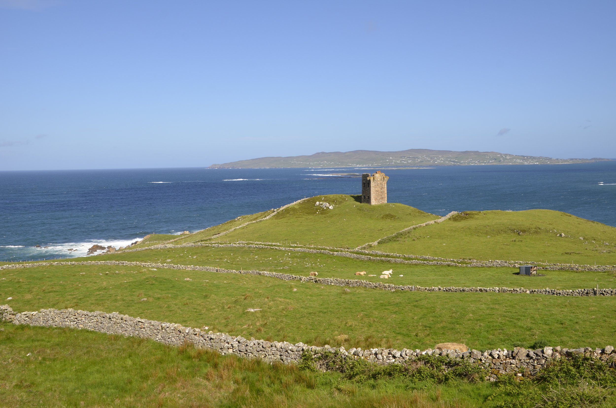
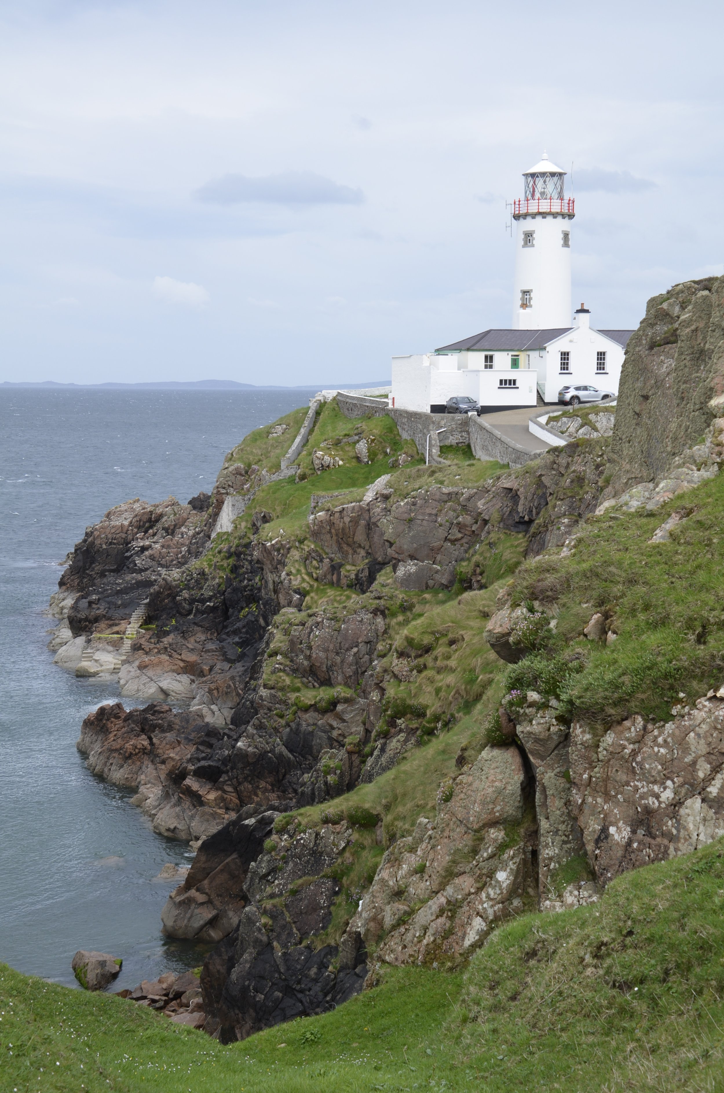
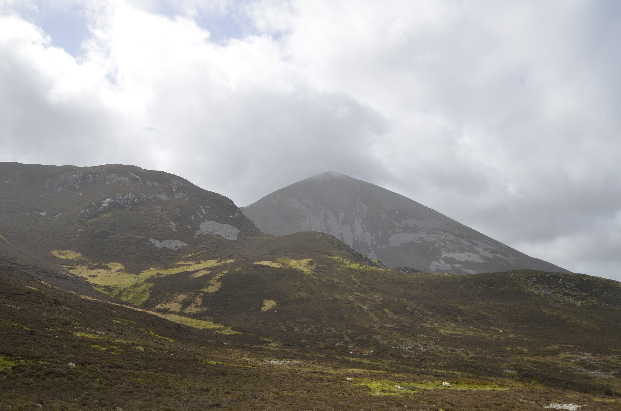
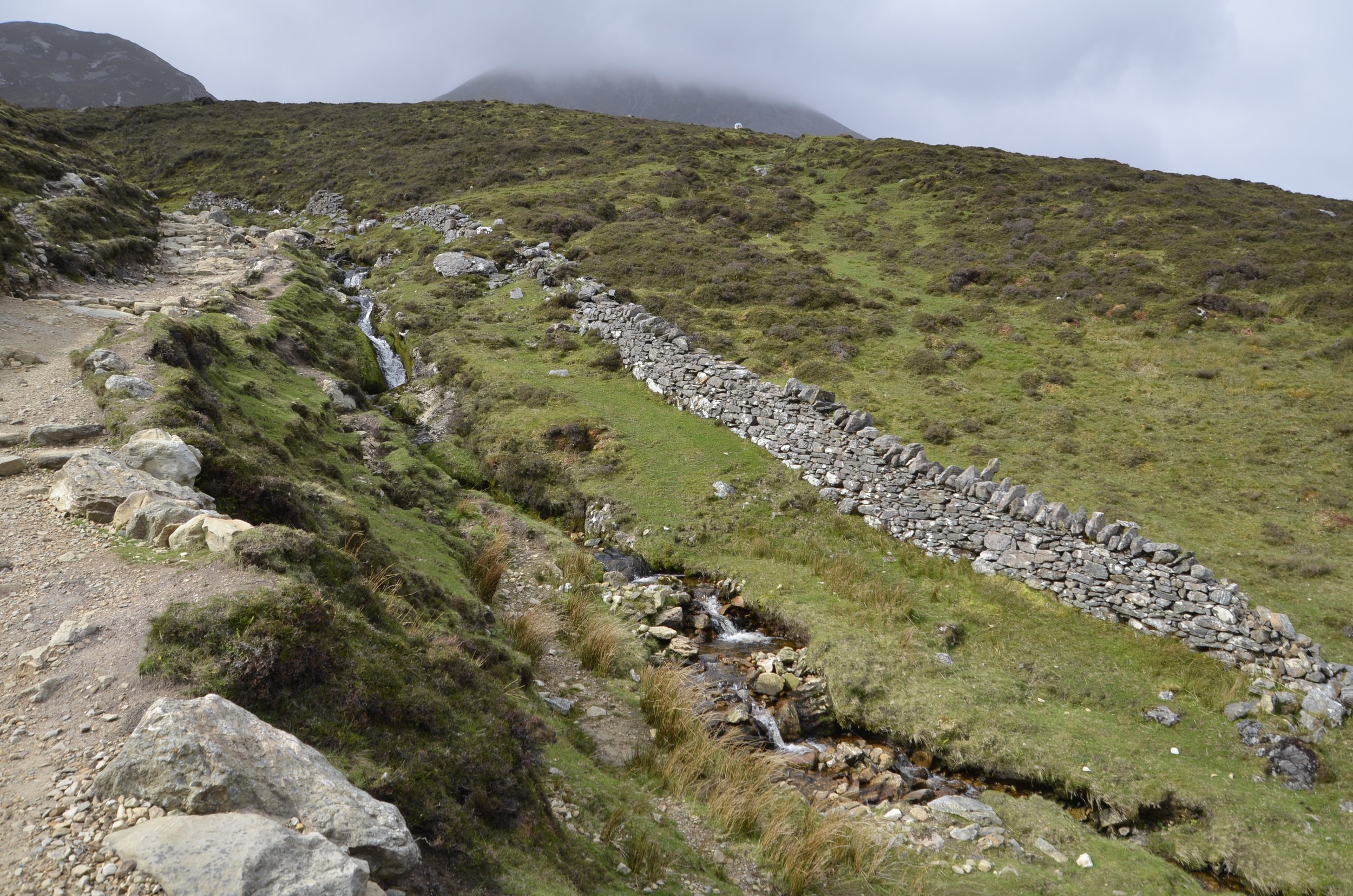
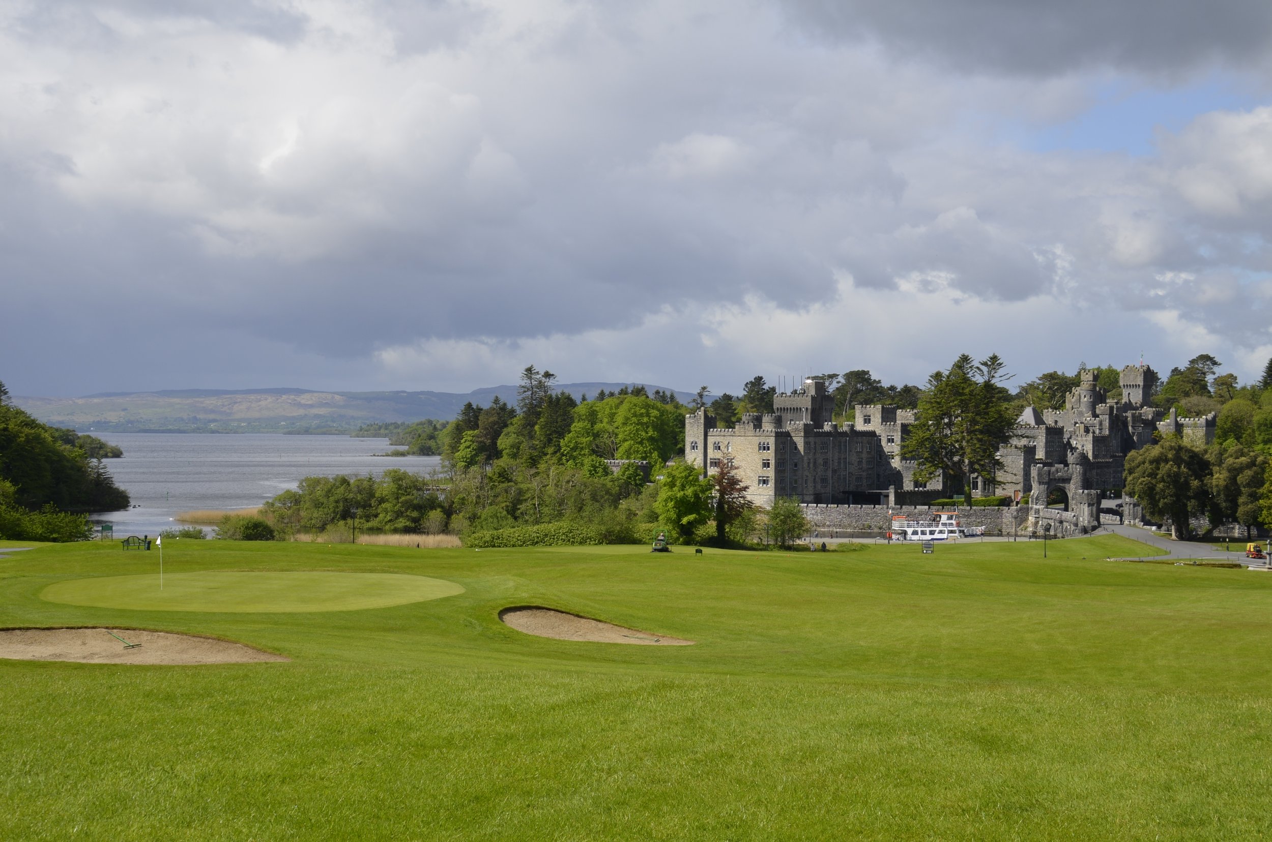
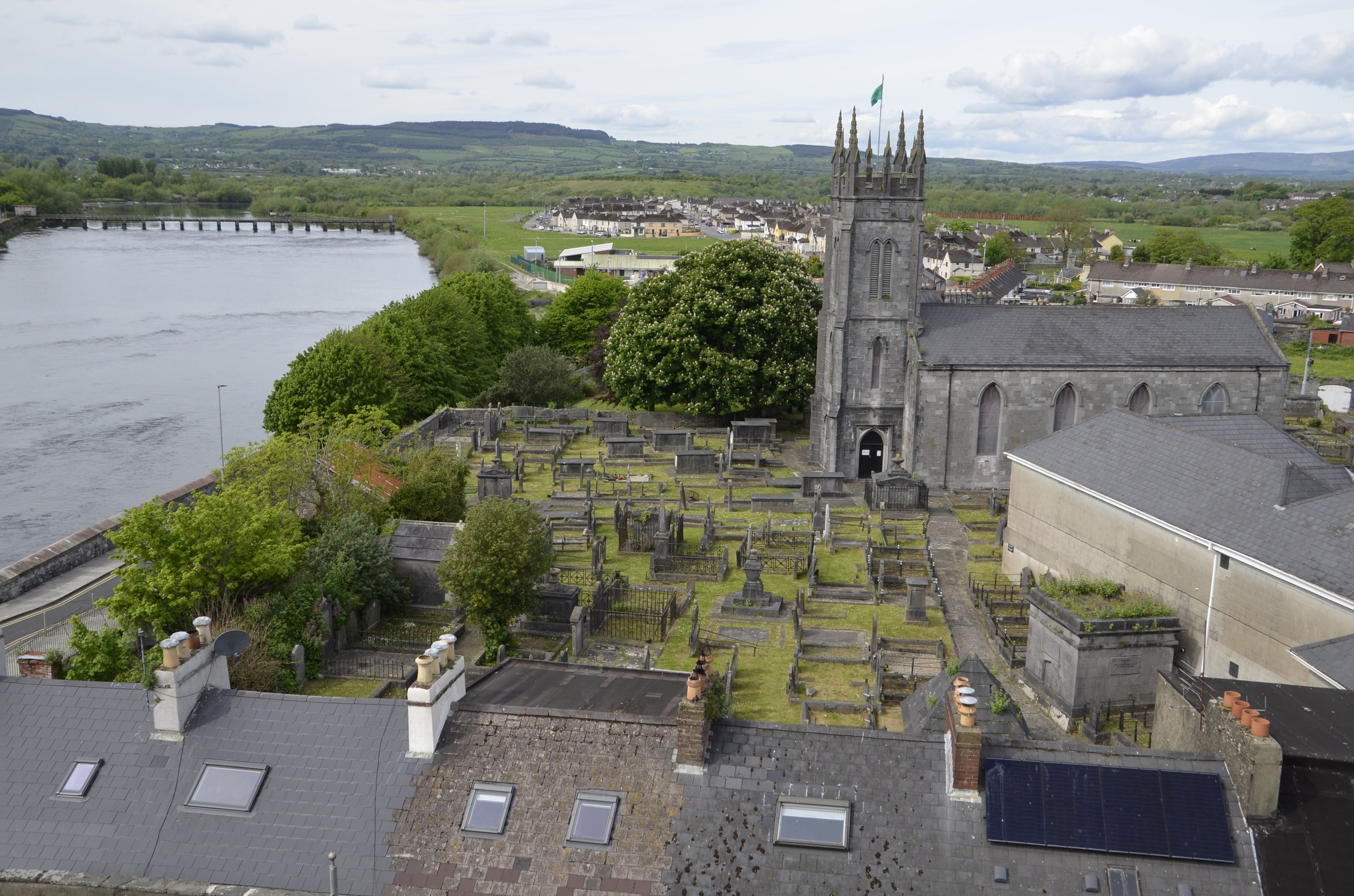
Last Irish post

There are still old buildings to be shown…

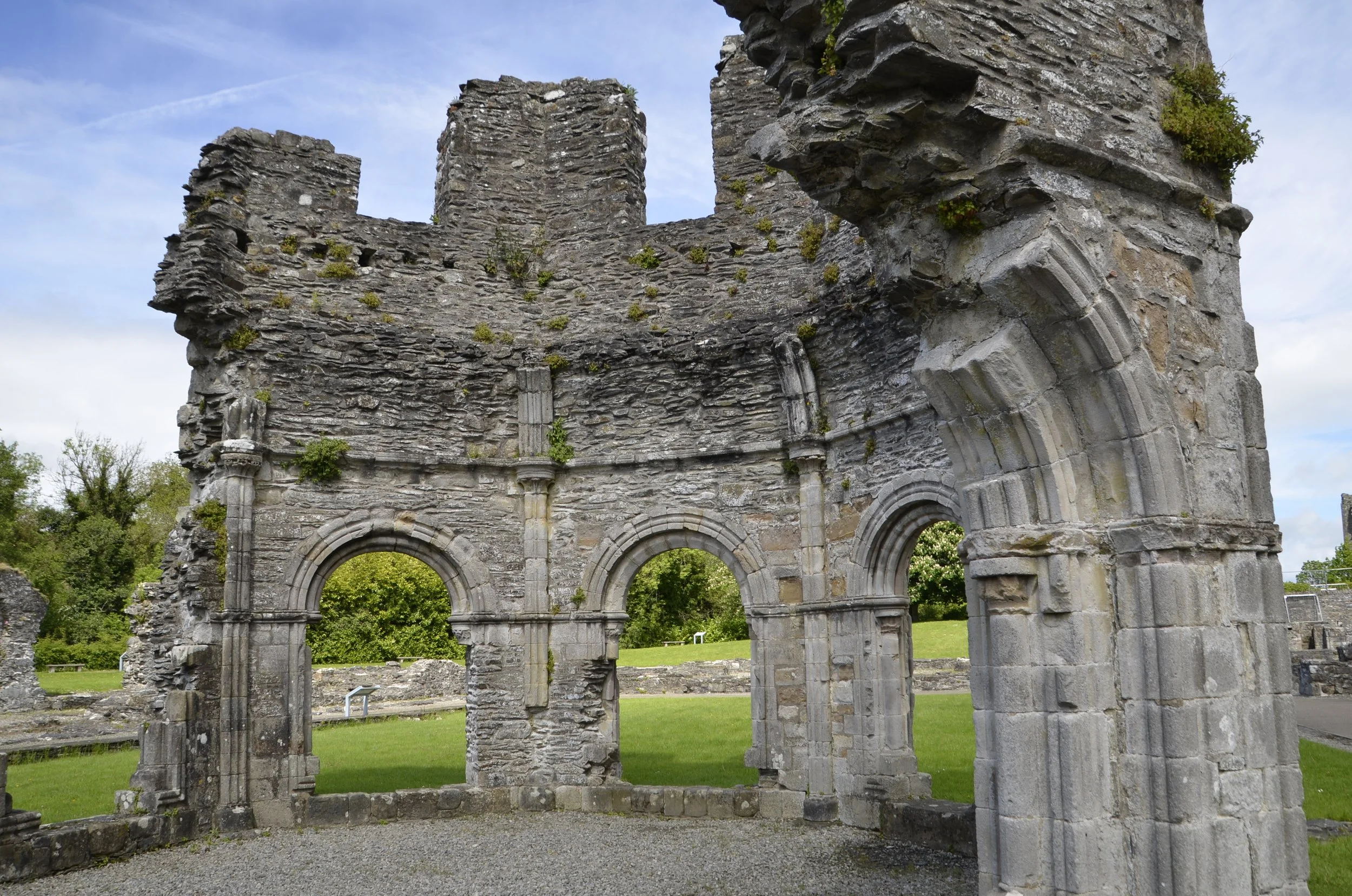
… starting with Mellifont Abbey, the first Cistercian monastery in Ireland, founded in 1142.

I liked the entry gate -

A quick aside to show a remarkable tree we saw blooming all over Ireland - the Goldenchain tree -

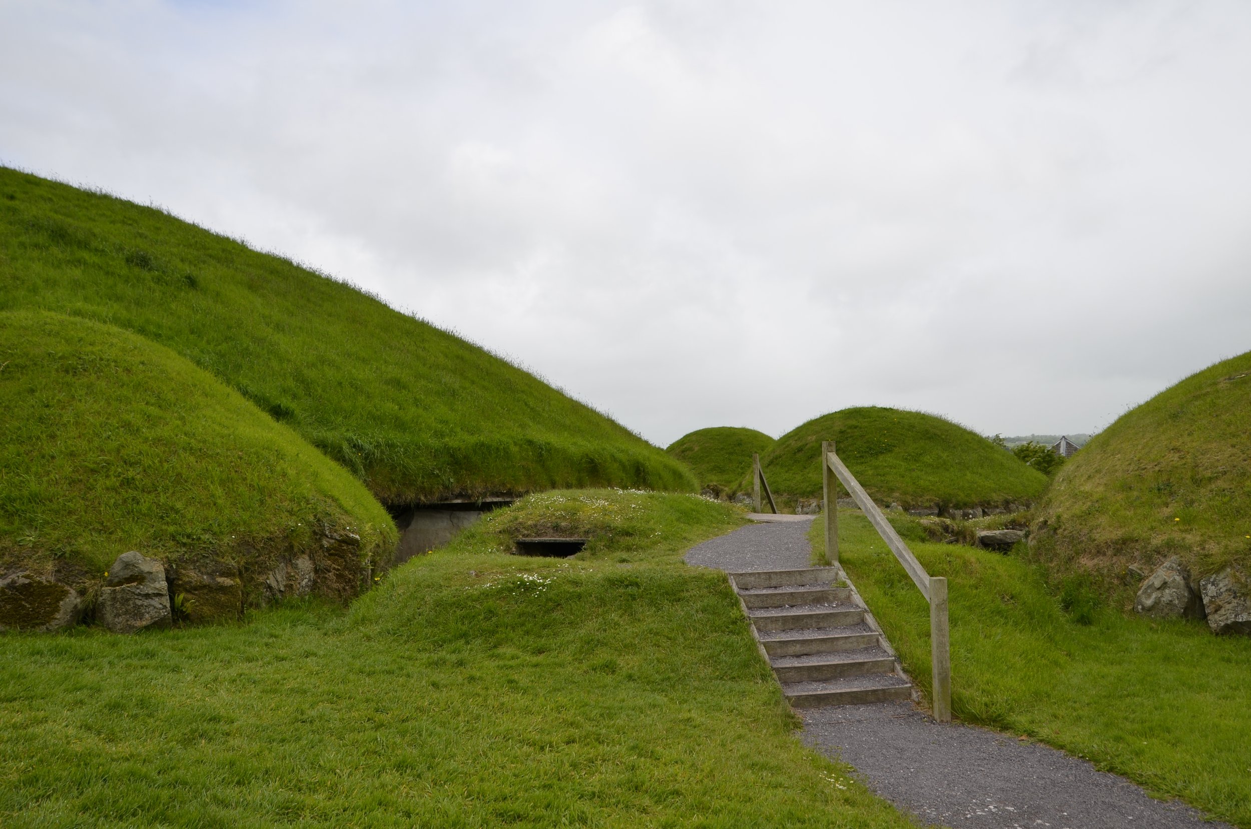
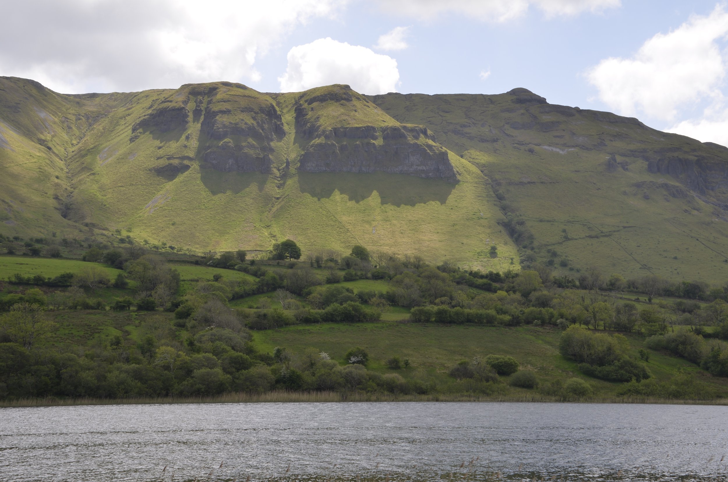
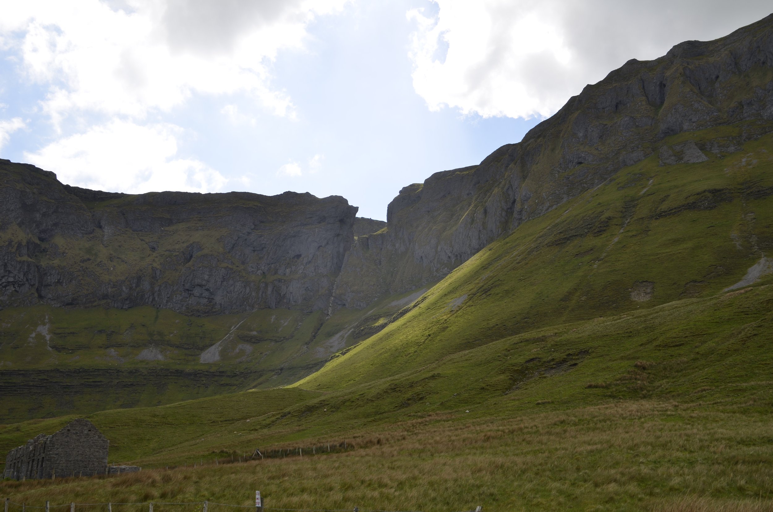
We headed way out into the countryside to visit Loughcrew Cairns…

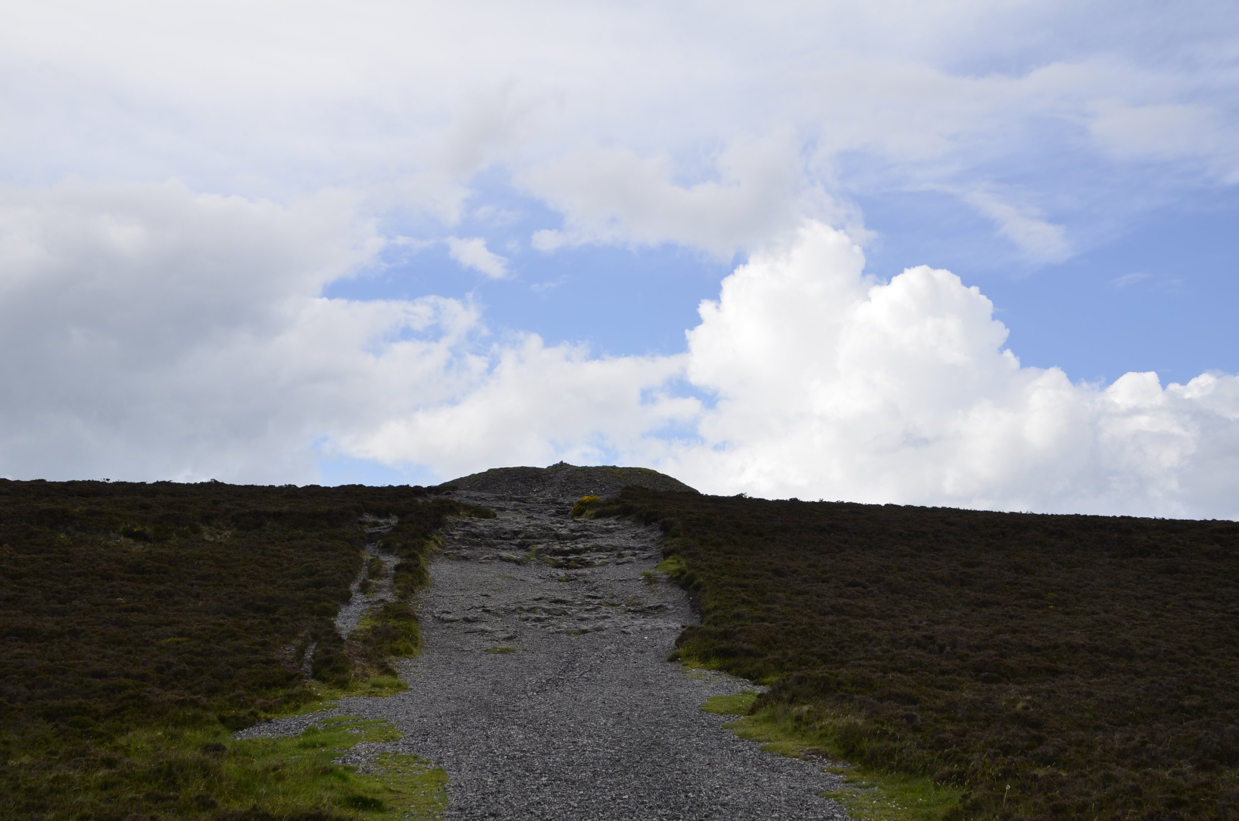
… and climbed up a hill to explore this one -

… finding a carved stone inside (but blocked by a gate).

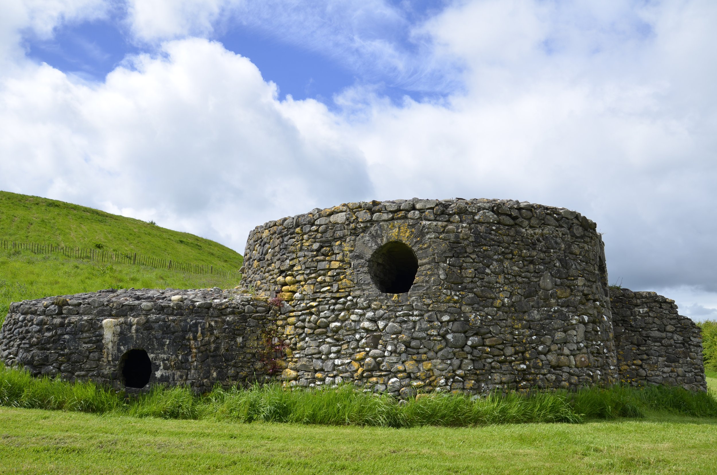
There was no one around…

… and no signage to get us to the neater looking tomb on a neighboring hill. We had to settle for a long range shot with my camera:

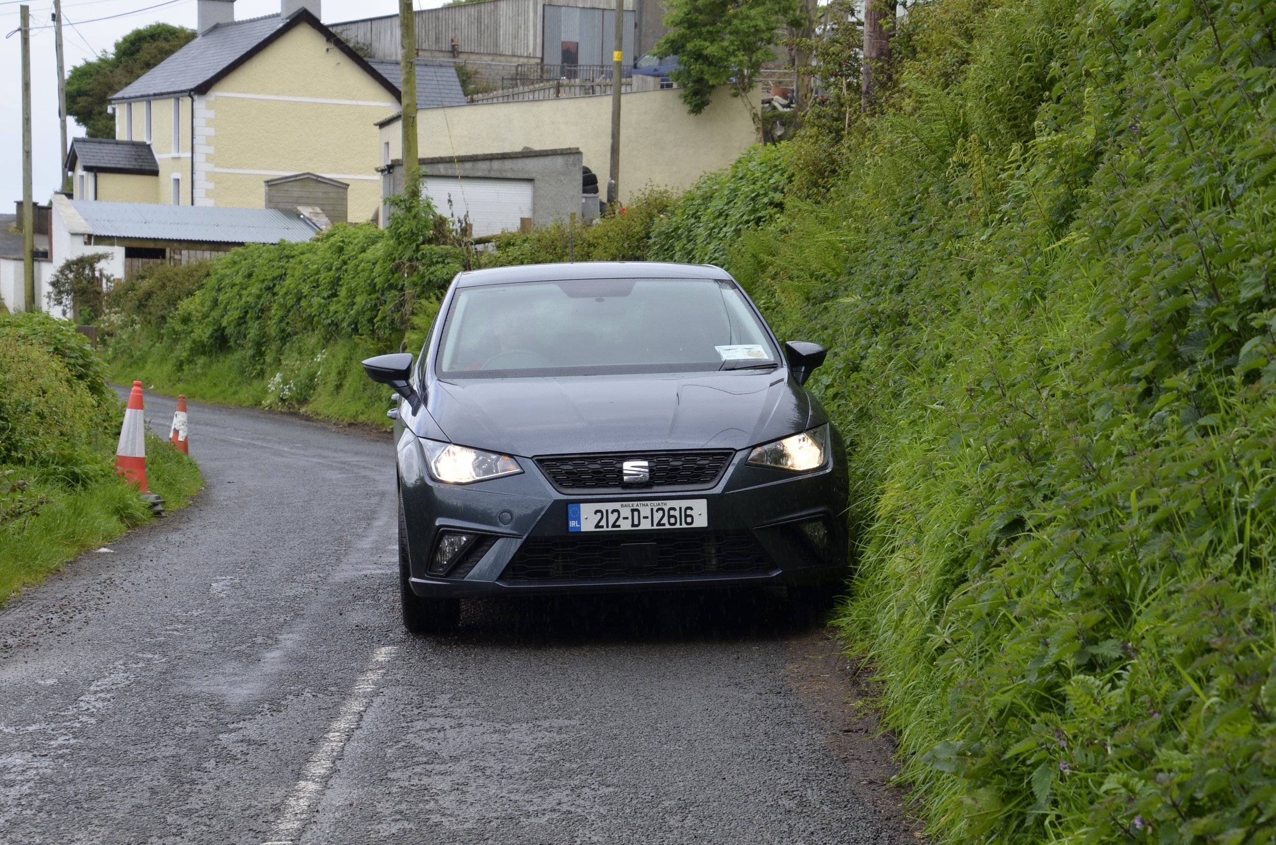
On the way to our next stop, Google Maps took us some back roads (as it commonly does), and we met an “only in Ireland” roadblock: (as usual with a video, be sure and open this post in a browser window)

There are also old carvings to be seen. We stopped in Kells (from where The Book of Kells illuminated manuscript was taken, which resides in the library at Trinity College in Dublin) to see the High Crosses there. Irish High Crosses are free standing stone crosses that are richly decorated.

The round tower dates from before 1076, and the cross from the early 9th century.

Stories from the bible are commonly depicted in the carvings.

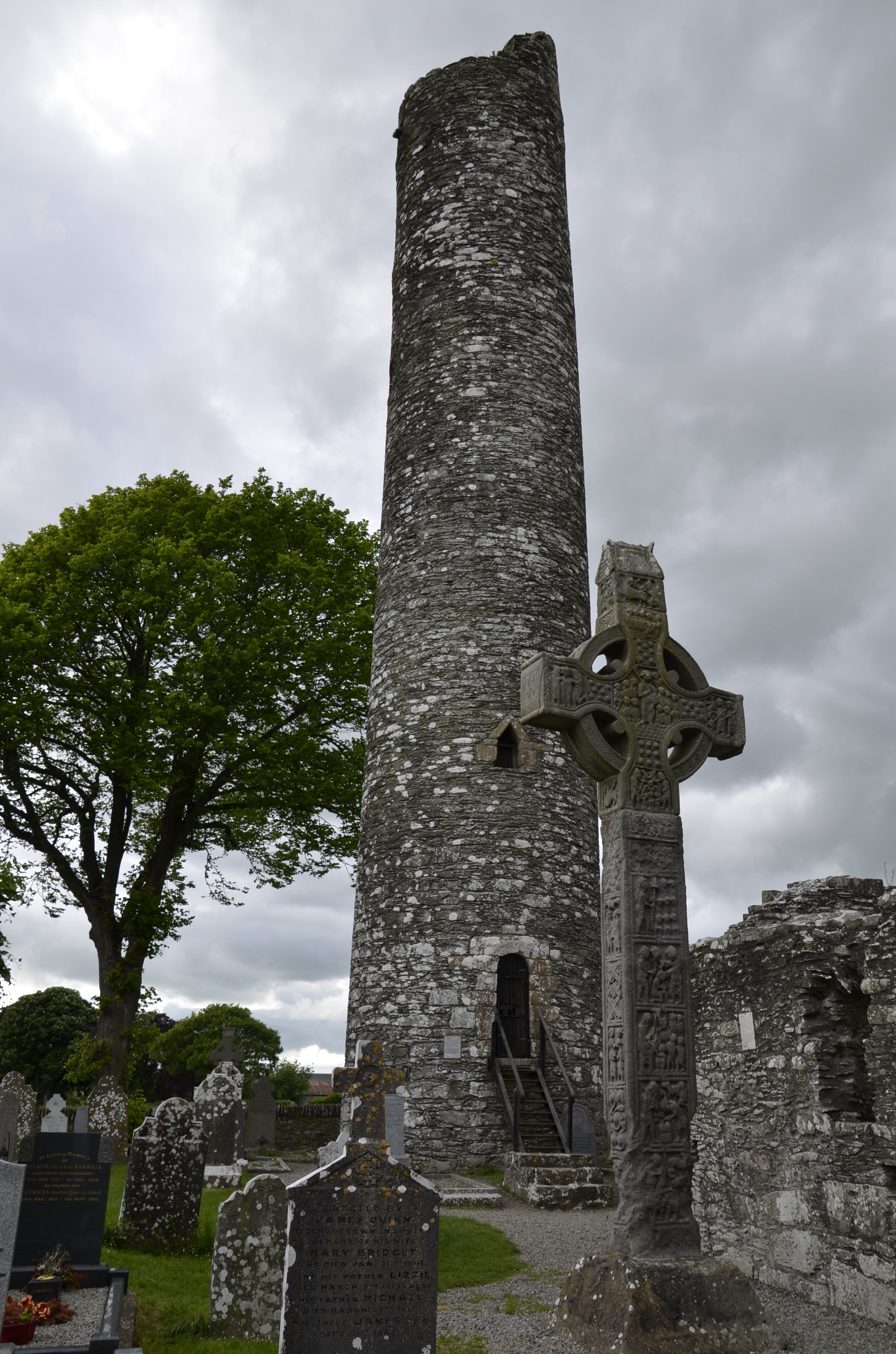
Well, our B&B host told us of a site where there were more and better crosses than at Kells. Monasterboice was a treasure trove -

(this was why we thought they were called “high” crosses)

The round tower here was built around 968 and three of the High Crosses in this cemetery were also erected in the 10th century.

This one was even taller!

Apparently, the chipping off at the base of the cross was done by emigrants for mementos before they left for America during the Great Famine of the late 1840’s -

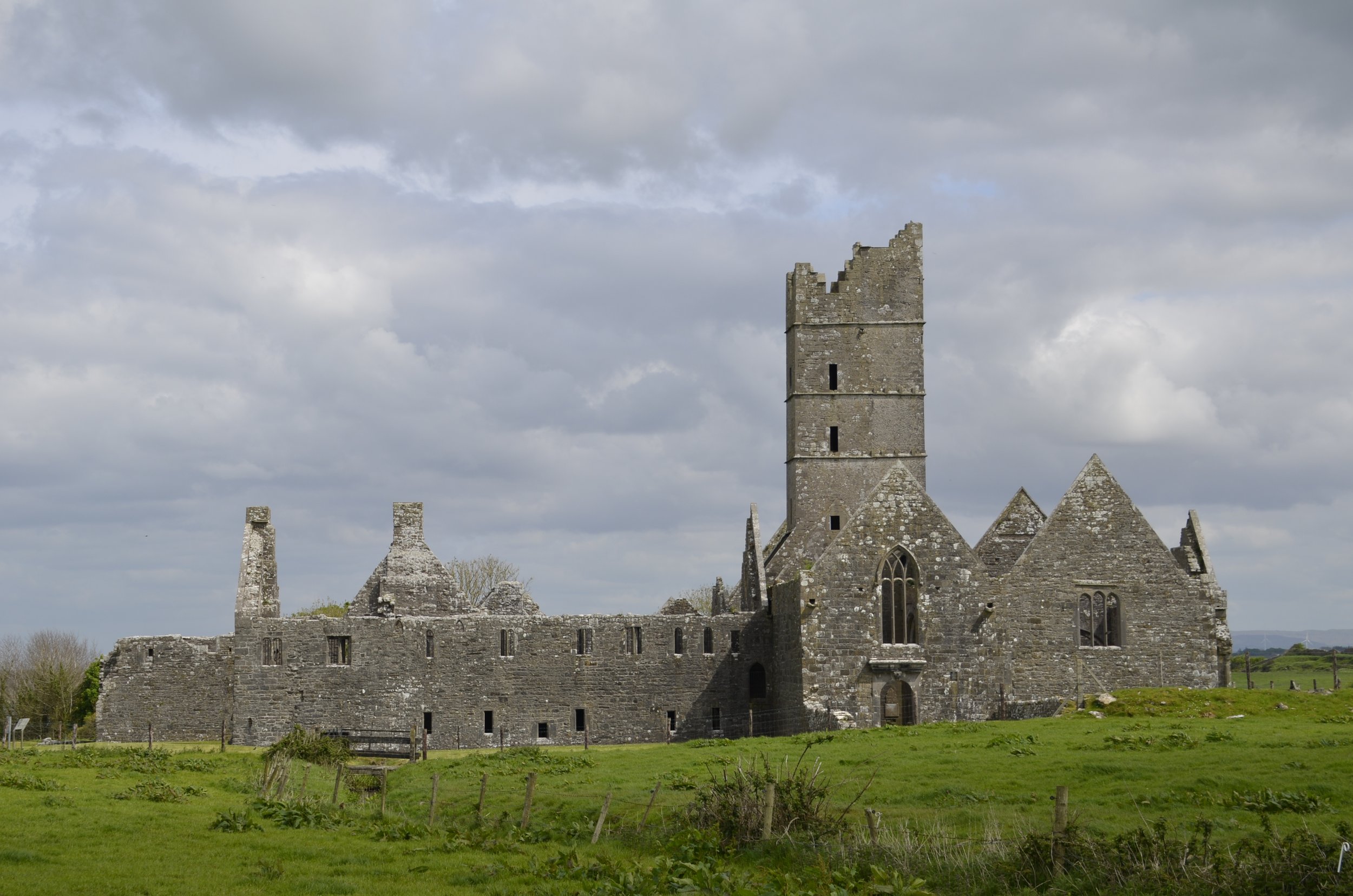
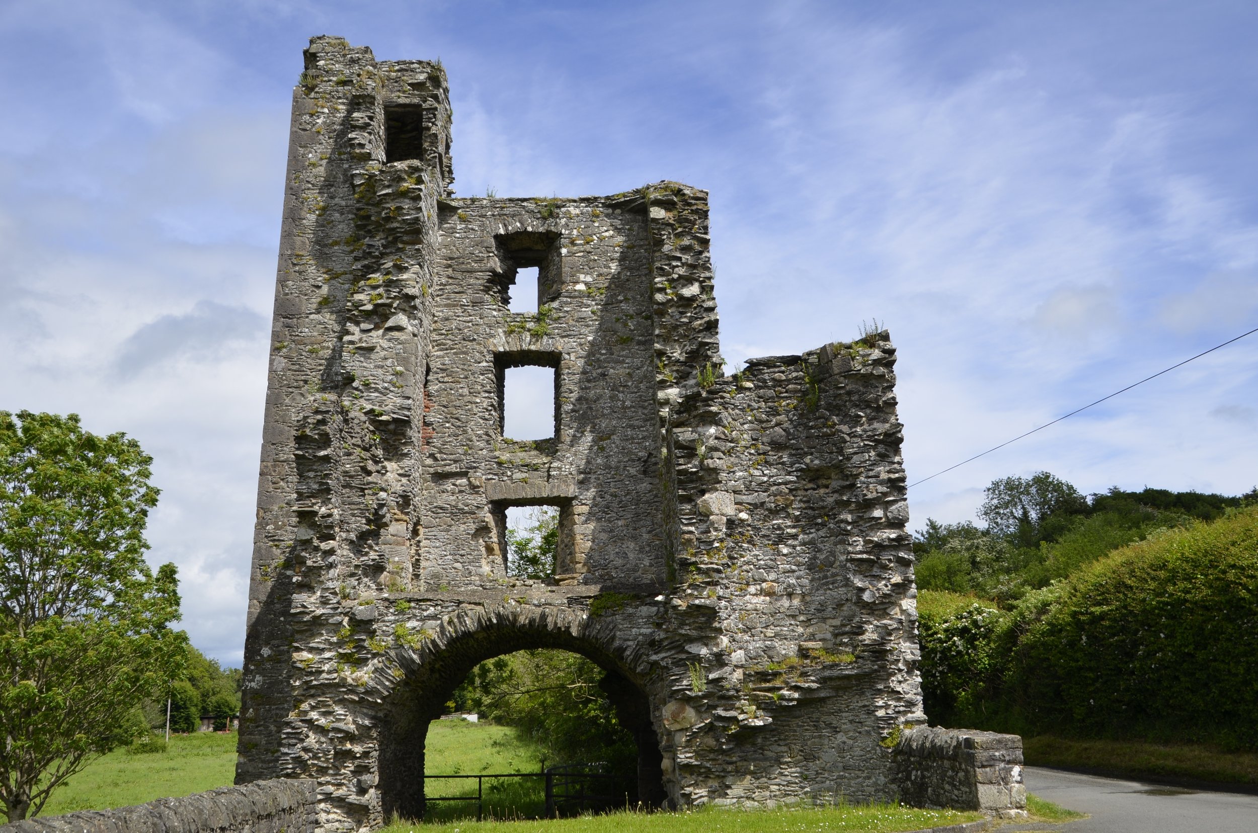
We stayed in Drogheda, to easily access all the sites in the Boyne Valley, and the town itself had a couple of neat structures. The Magdalene Tower is the belfry and all that remains of a 14th century Dominican Friary -

I went back a second evening to get a different angle and light. ;)

Laurence’s Gate is a 13th century barbicon, which is a fore-work guarding the main gate in the walls into the city (of which nothing remains). This one is considered one of the finest in Europe.

Note the space where a gate could be lowered -

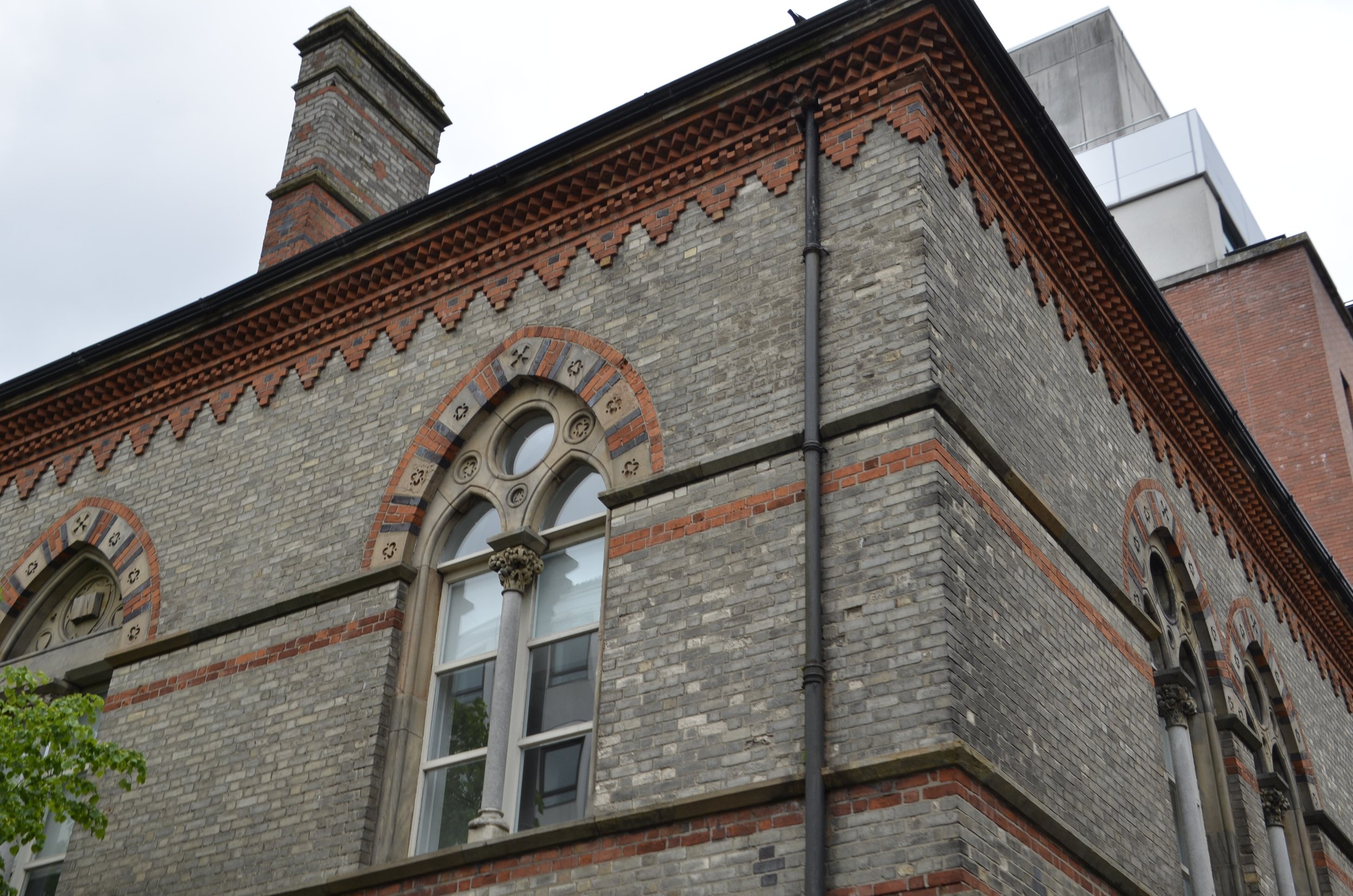
I just thought it was interesting because it’s sitting in the middle of the town with nothing else like it around.

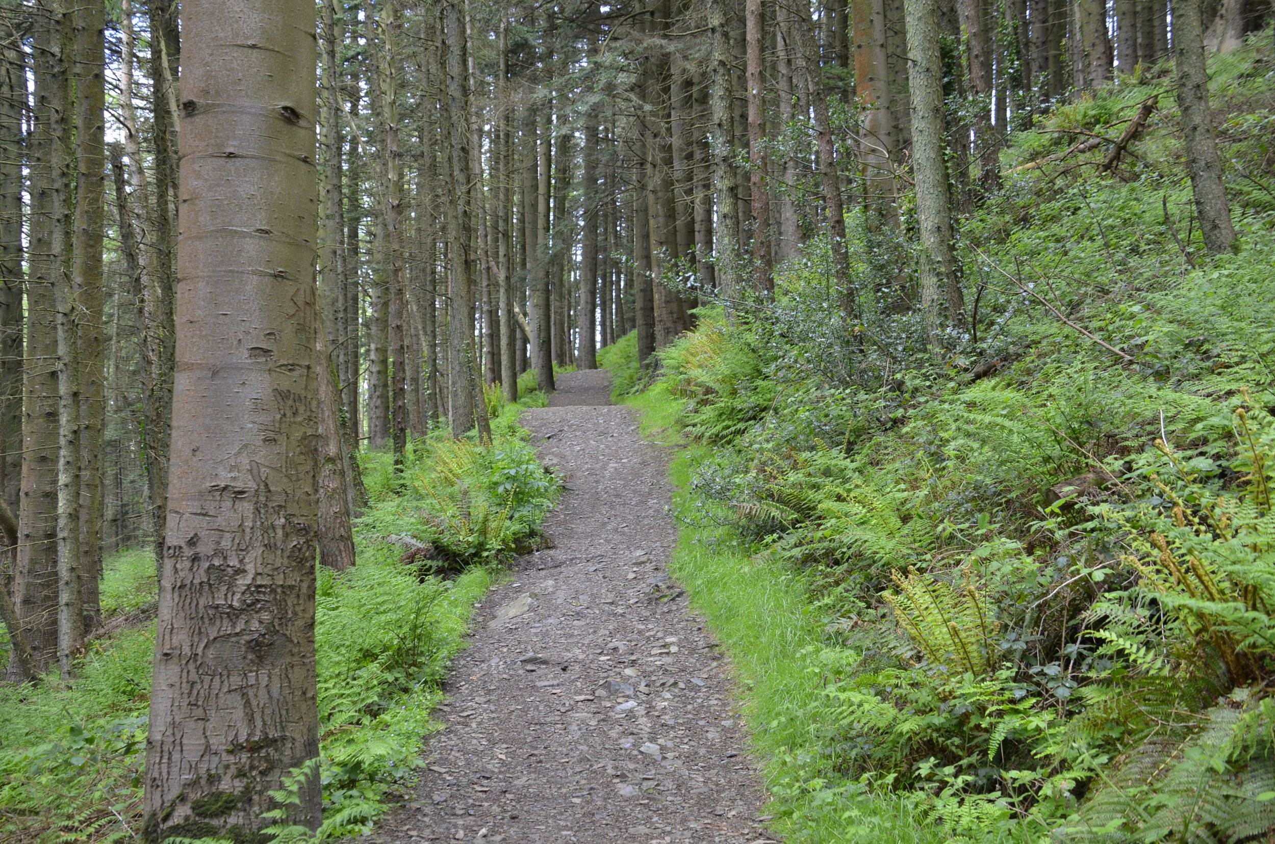
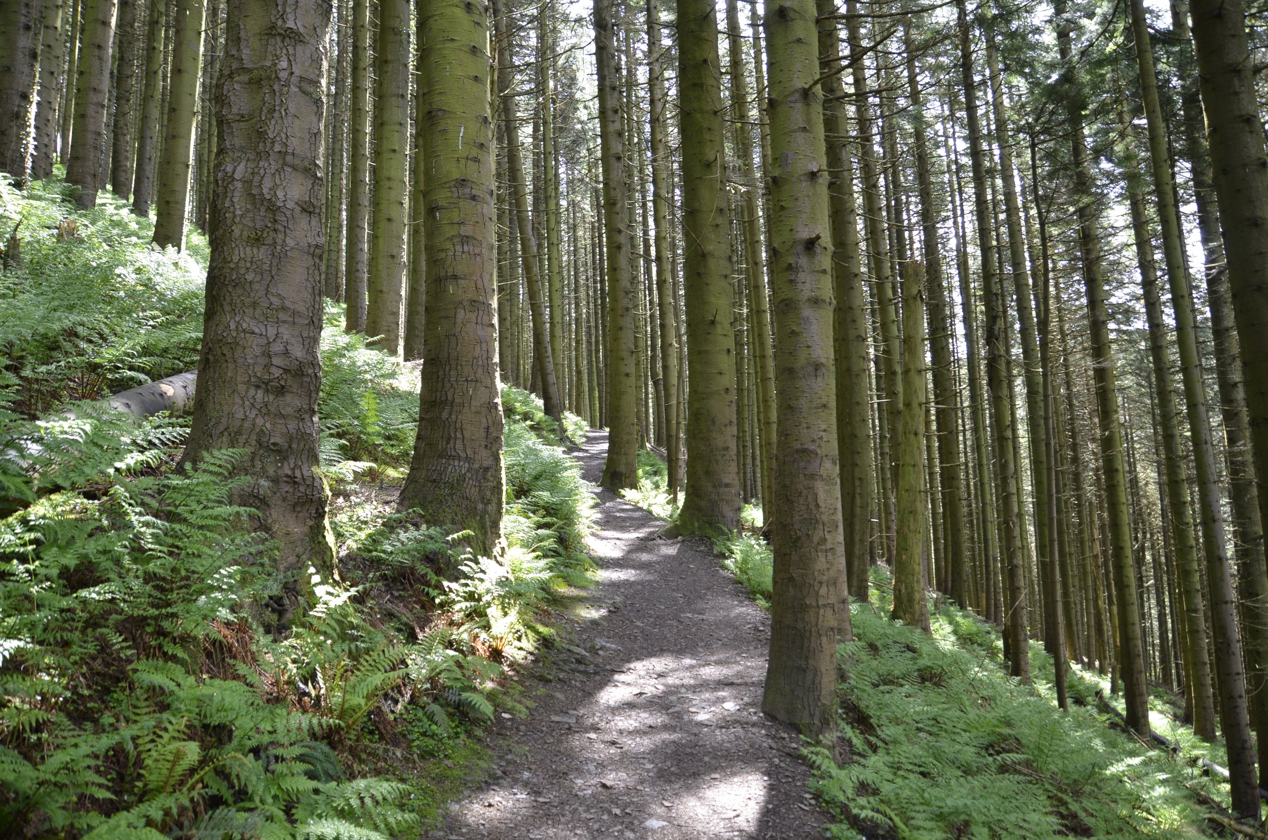
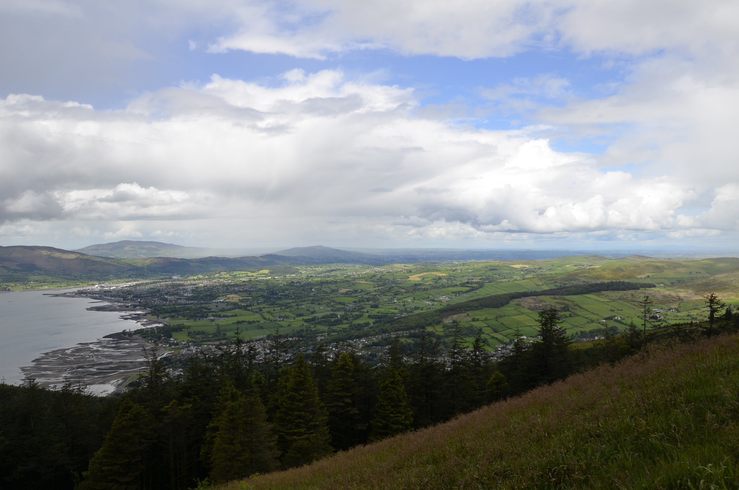
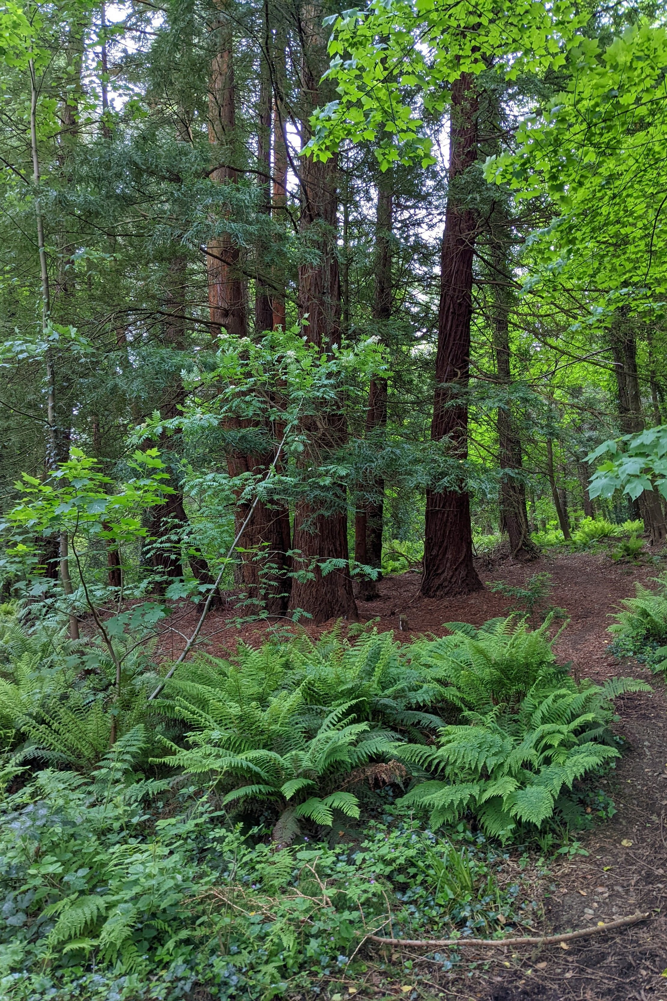
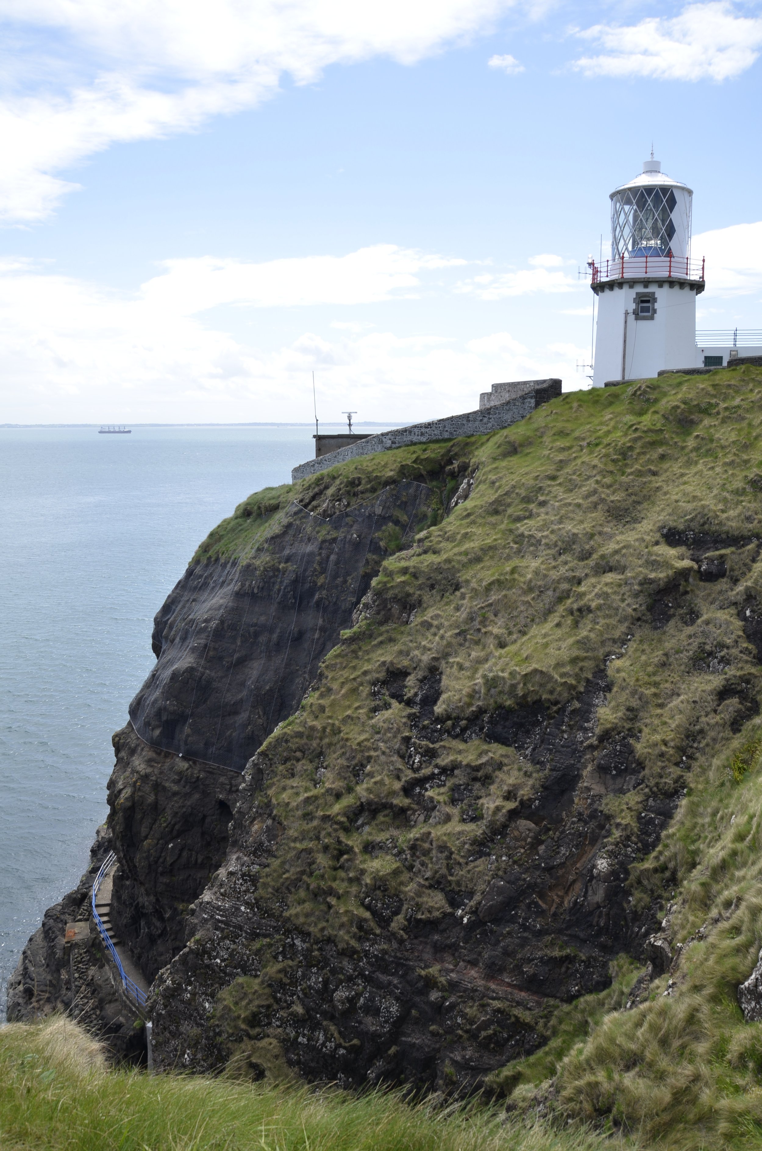
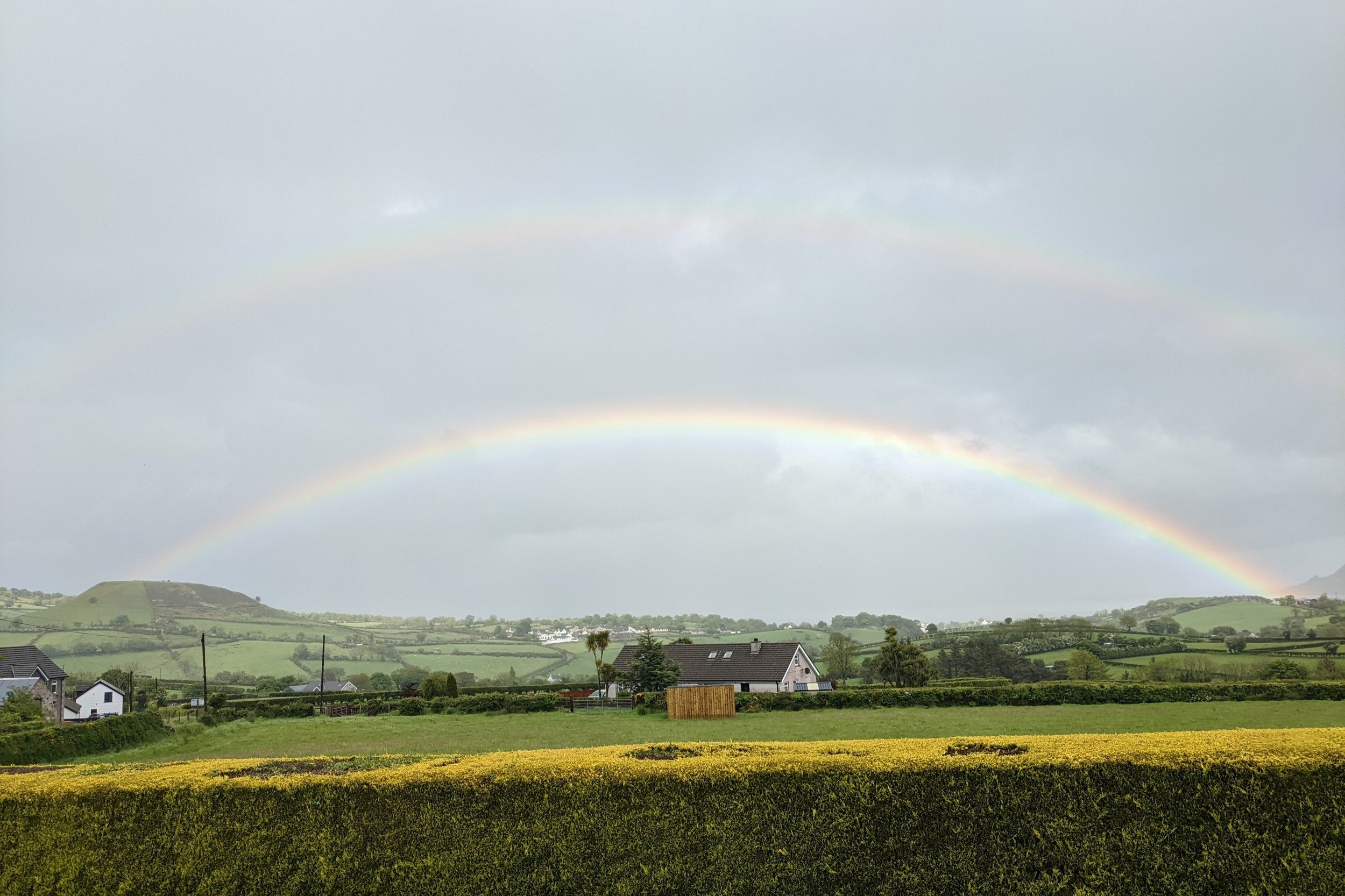
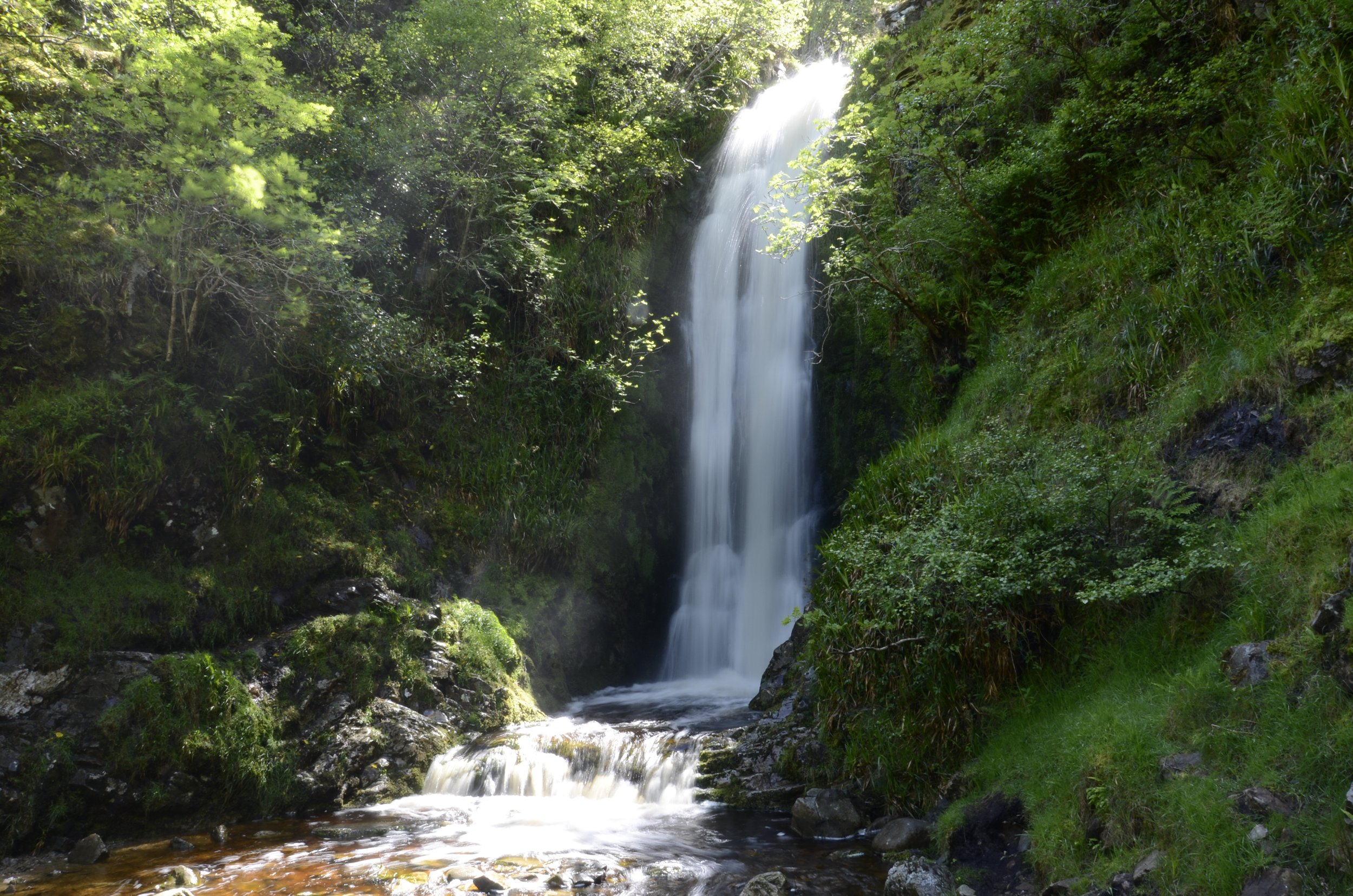
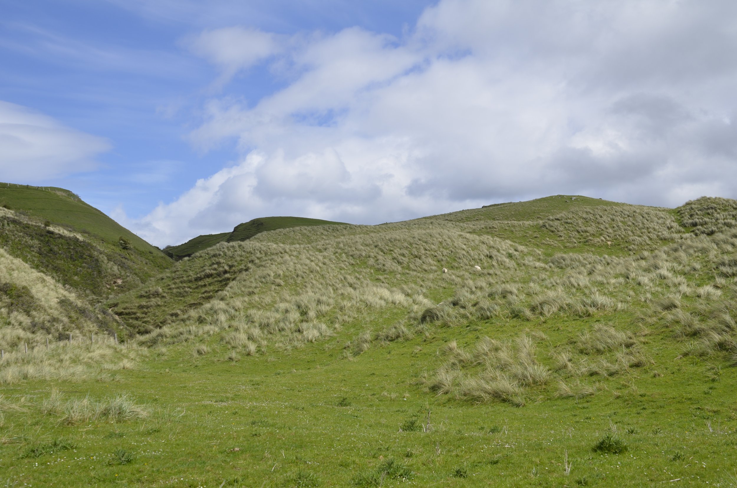
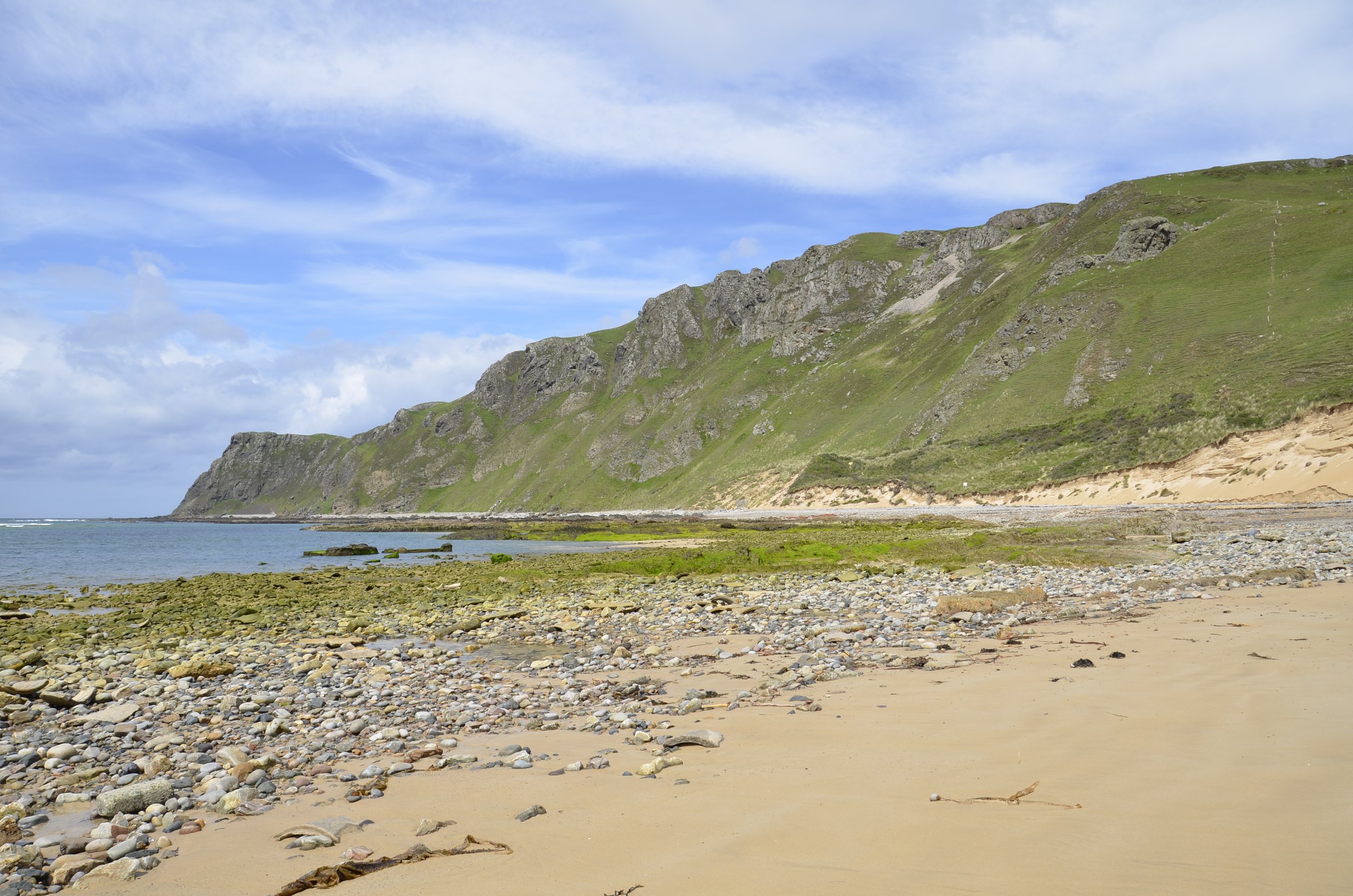
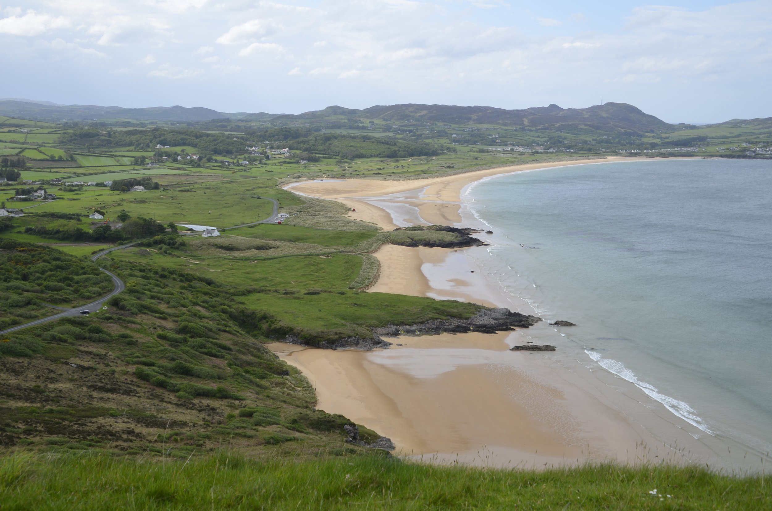
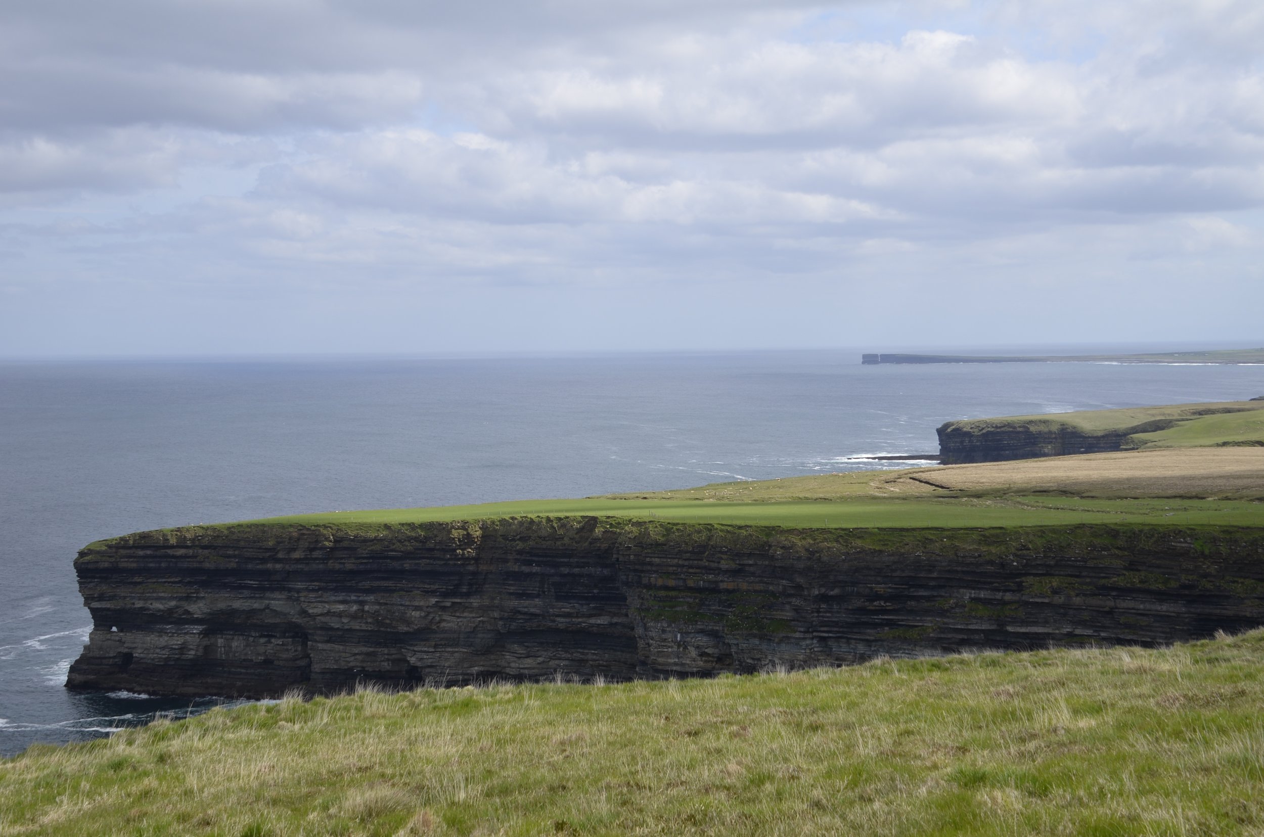
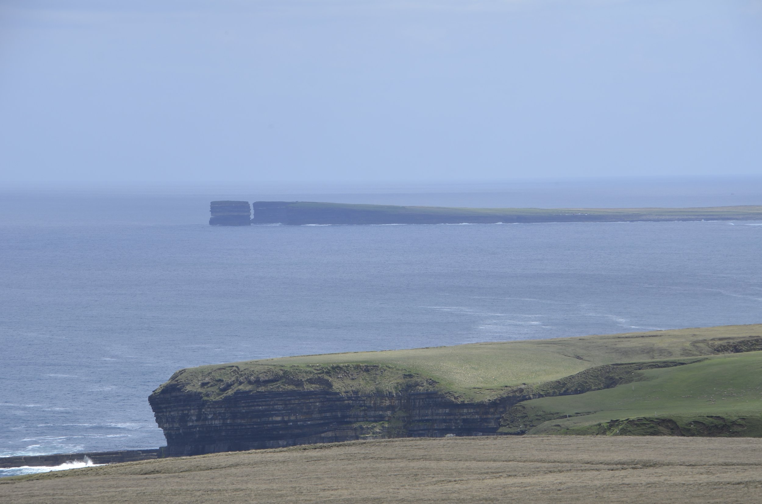
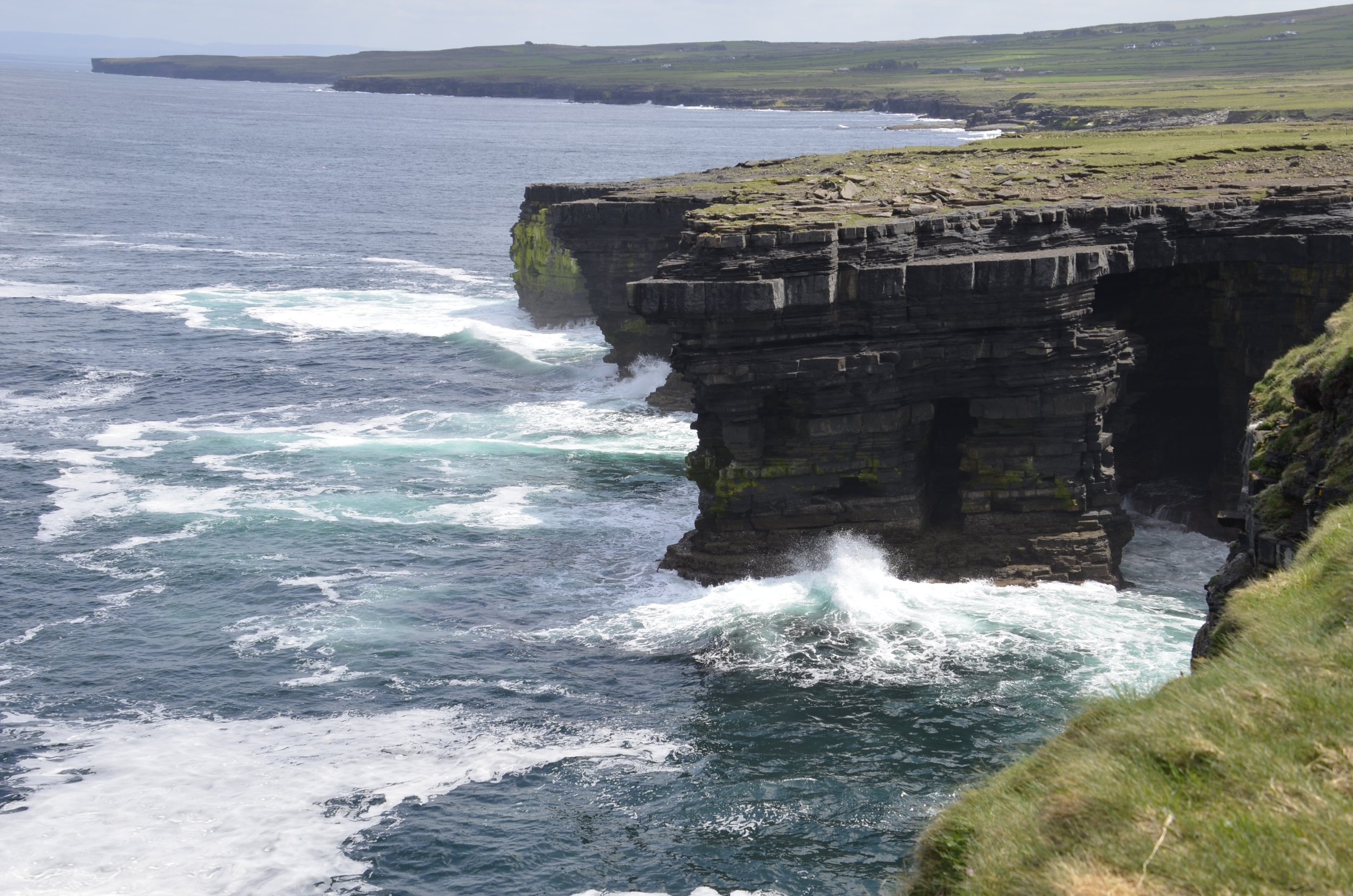
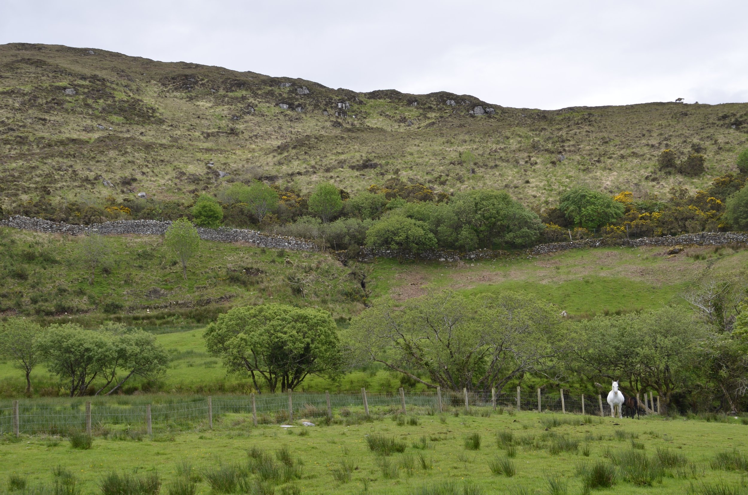
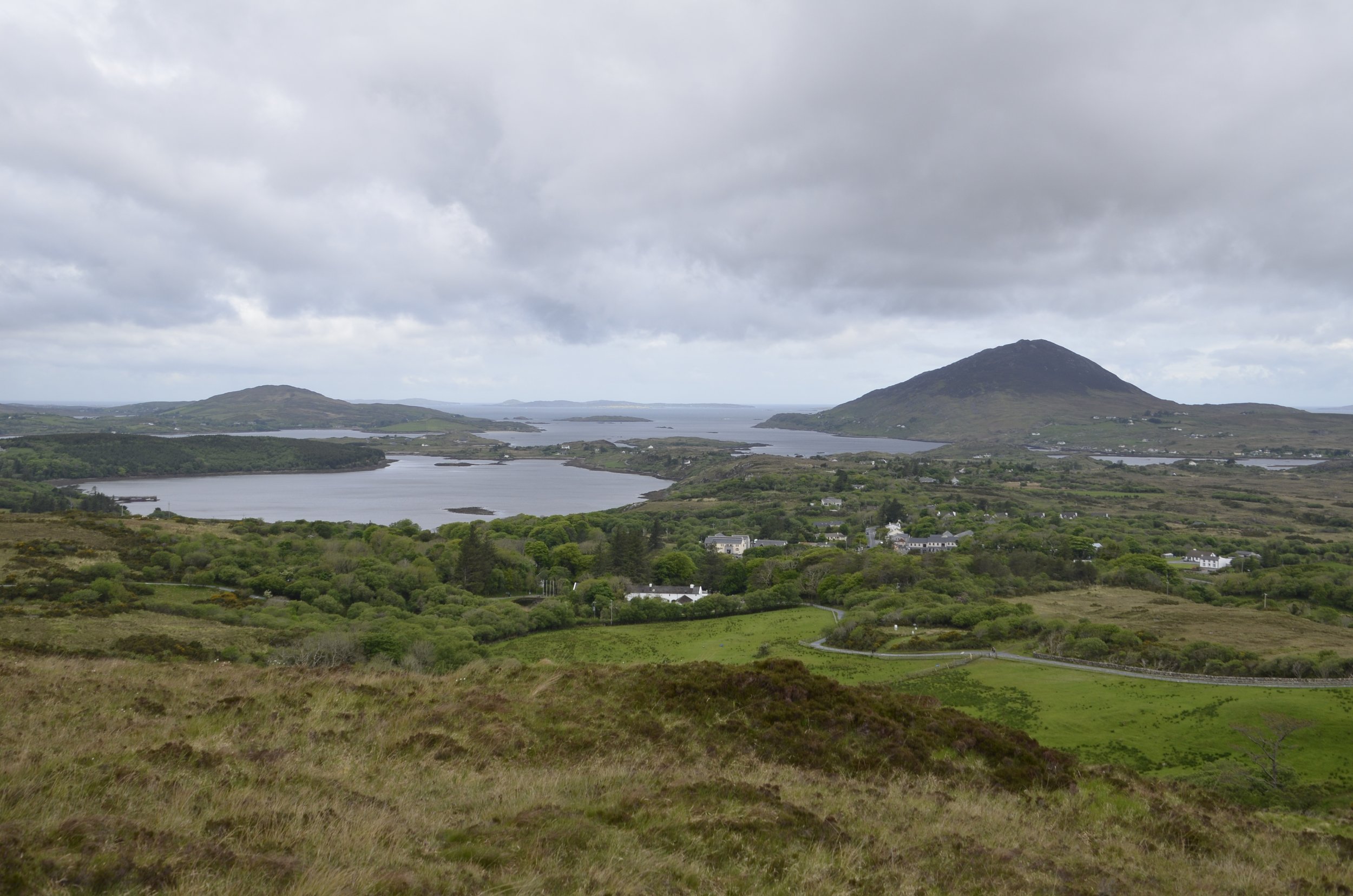
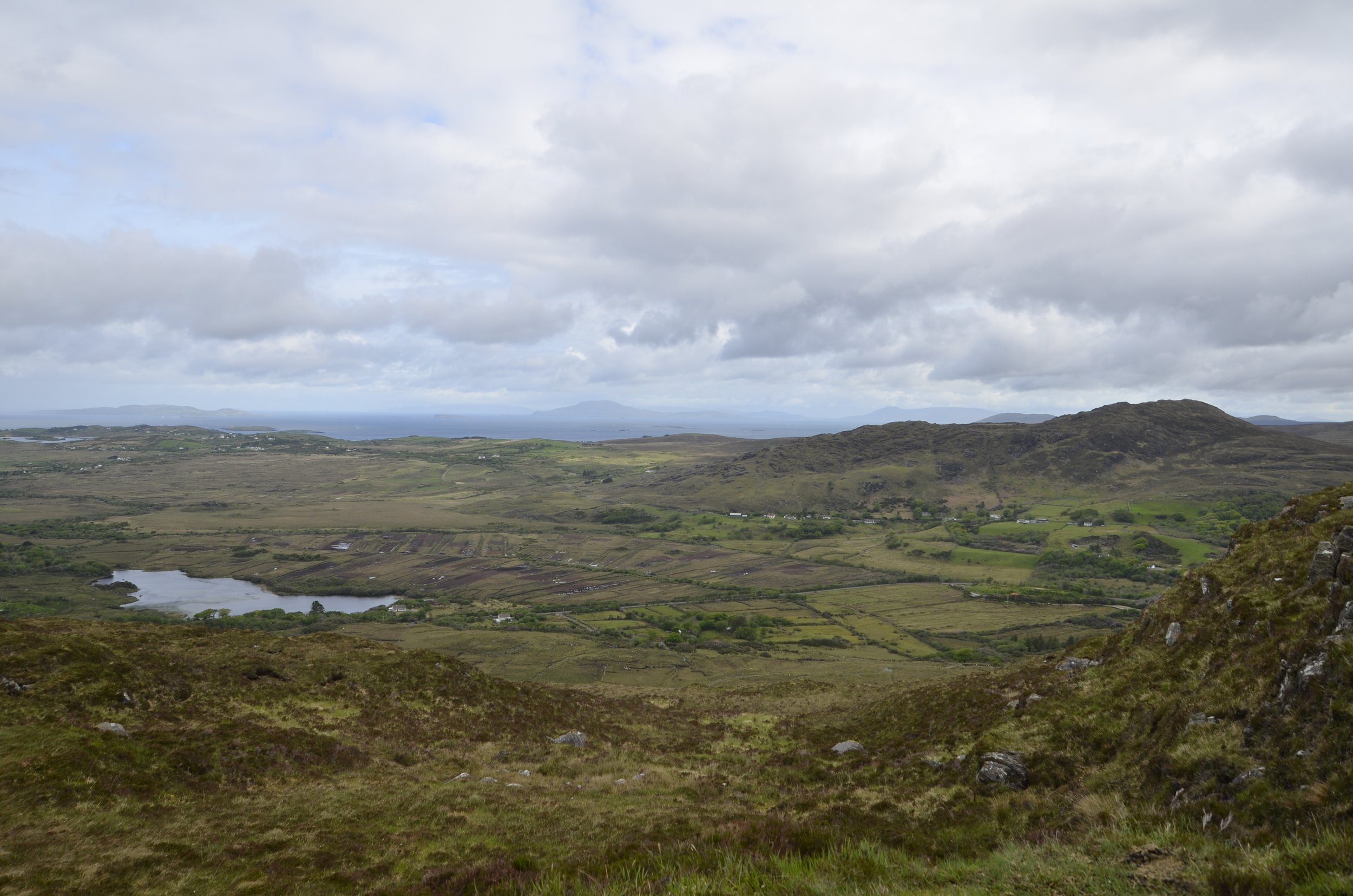
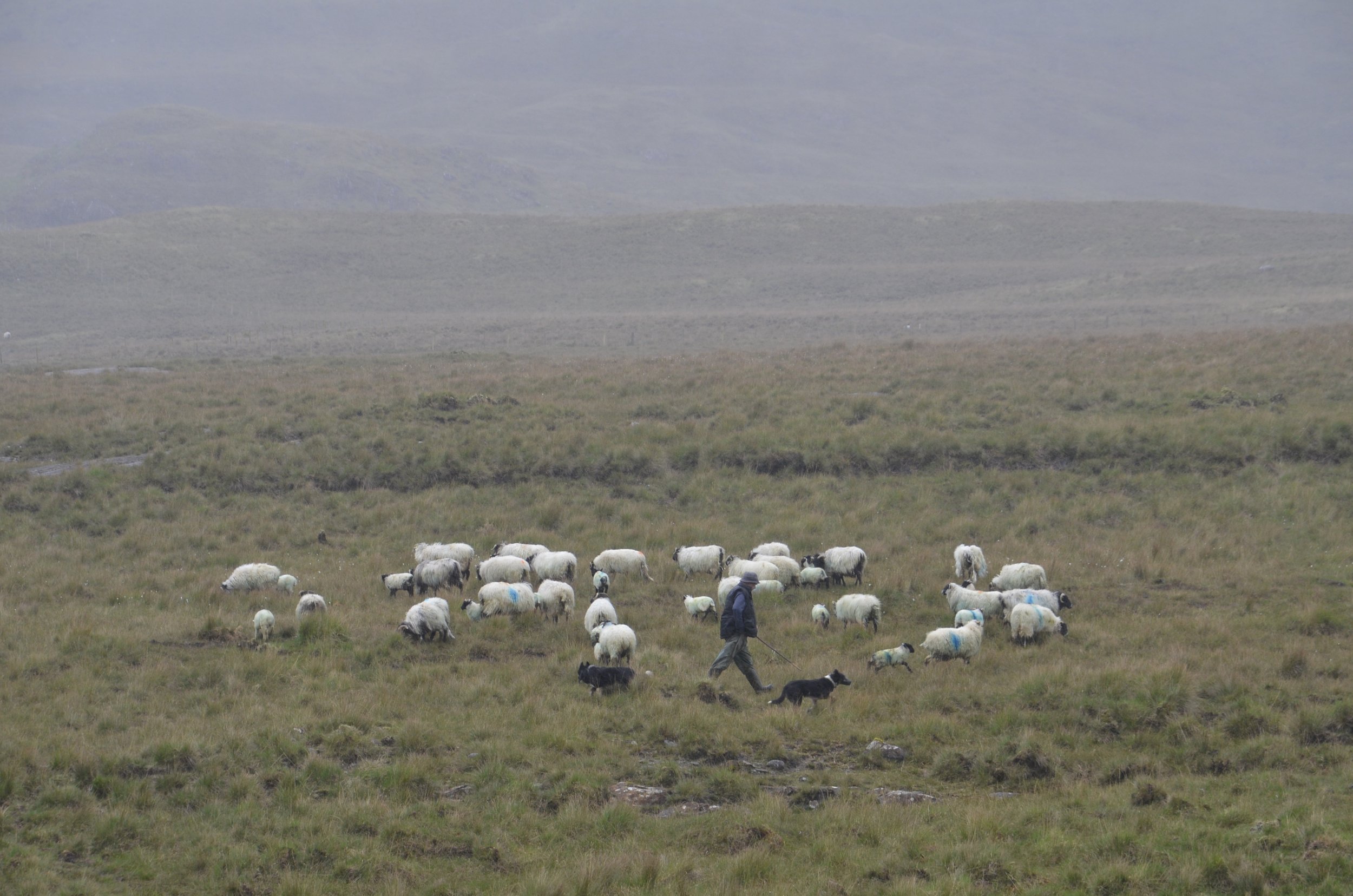
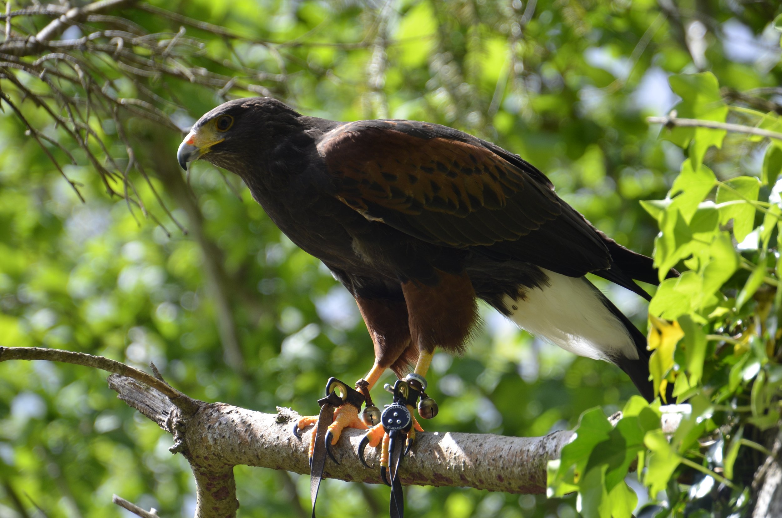
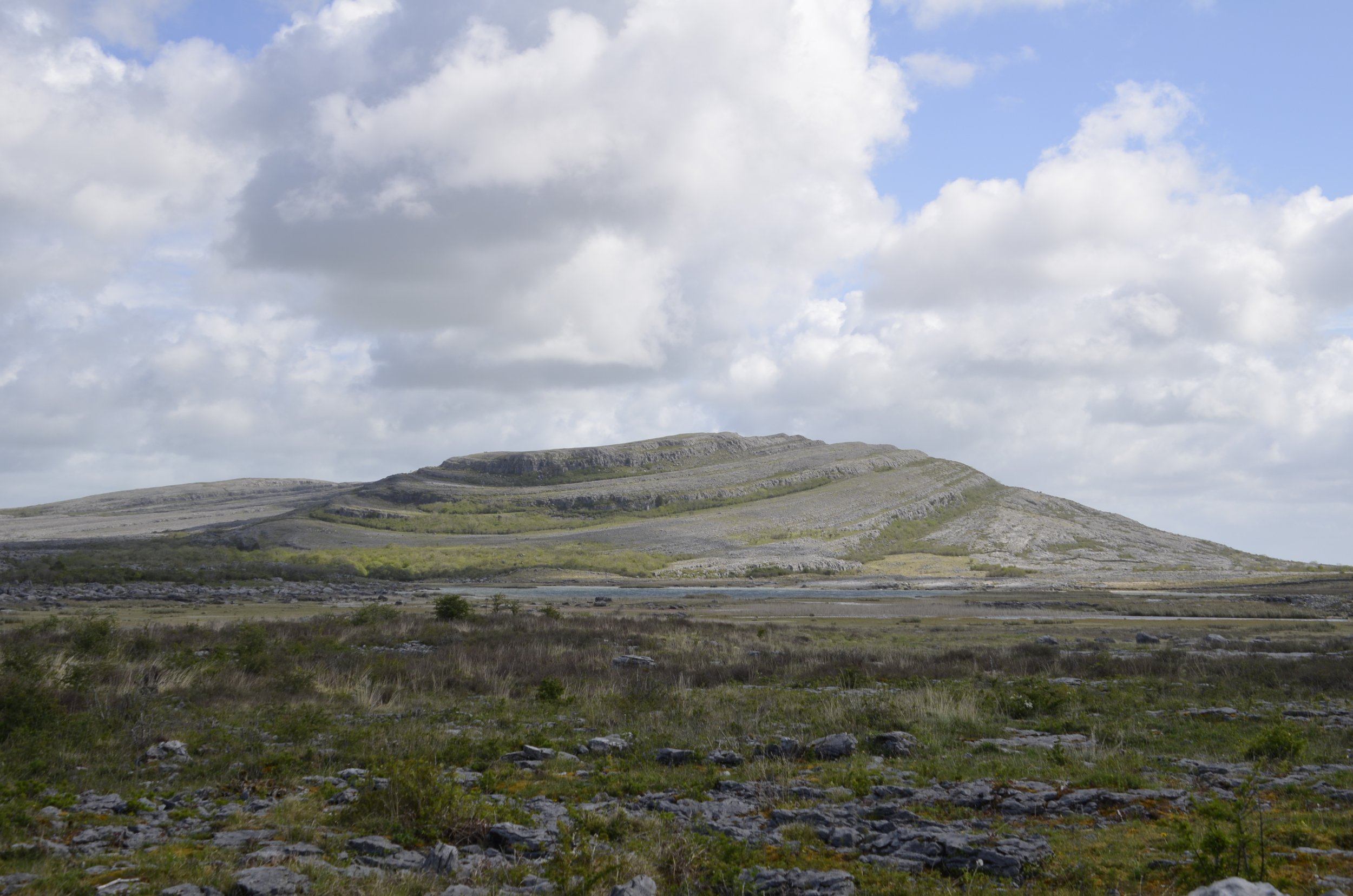
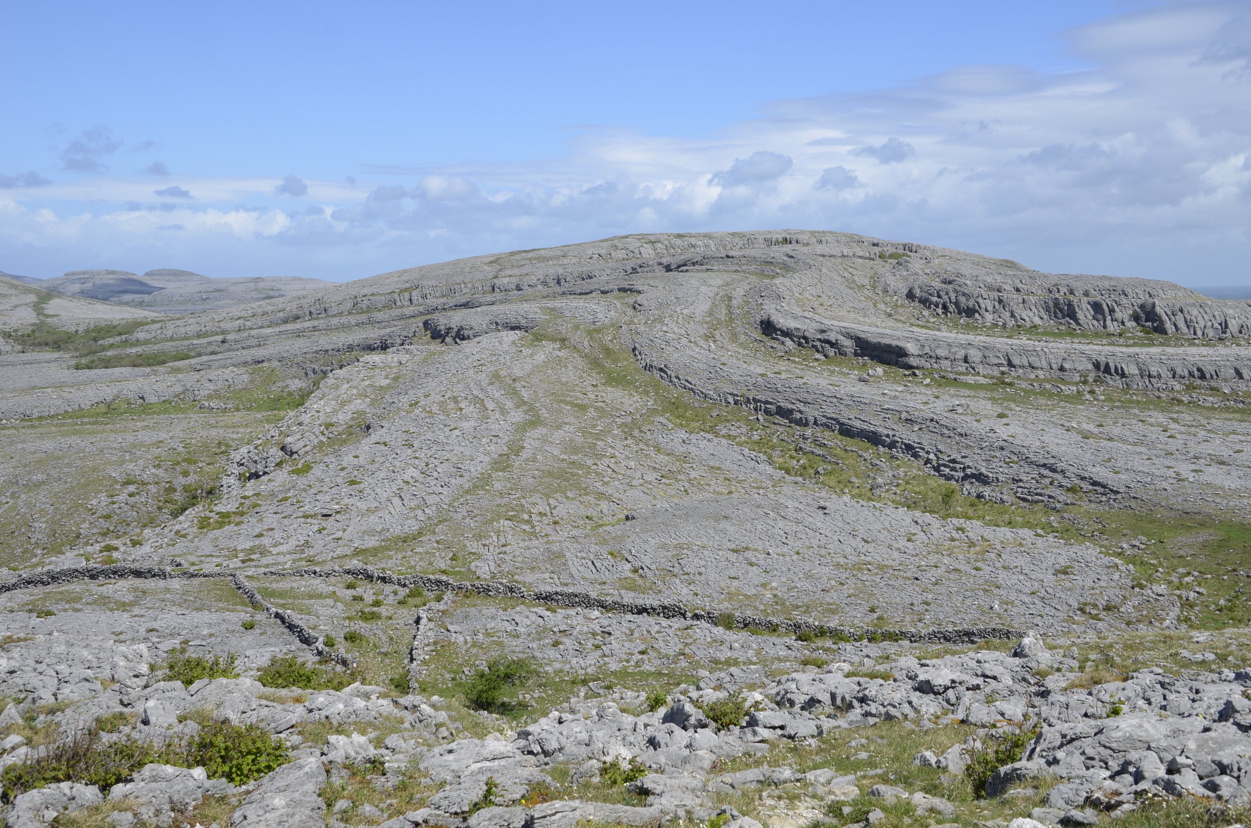
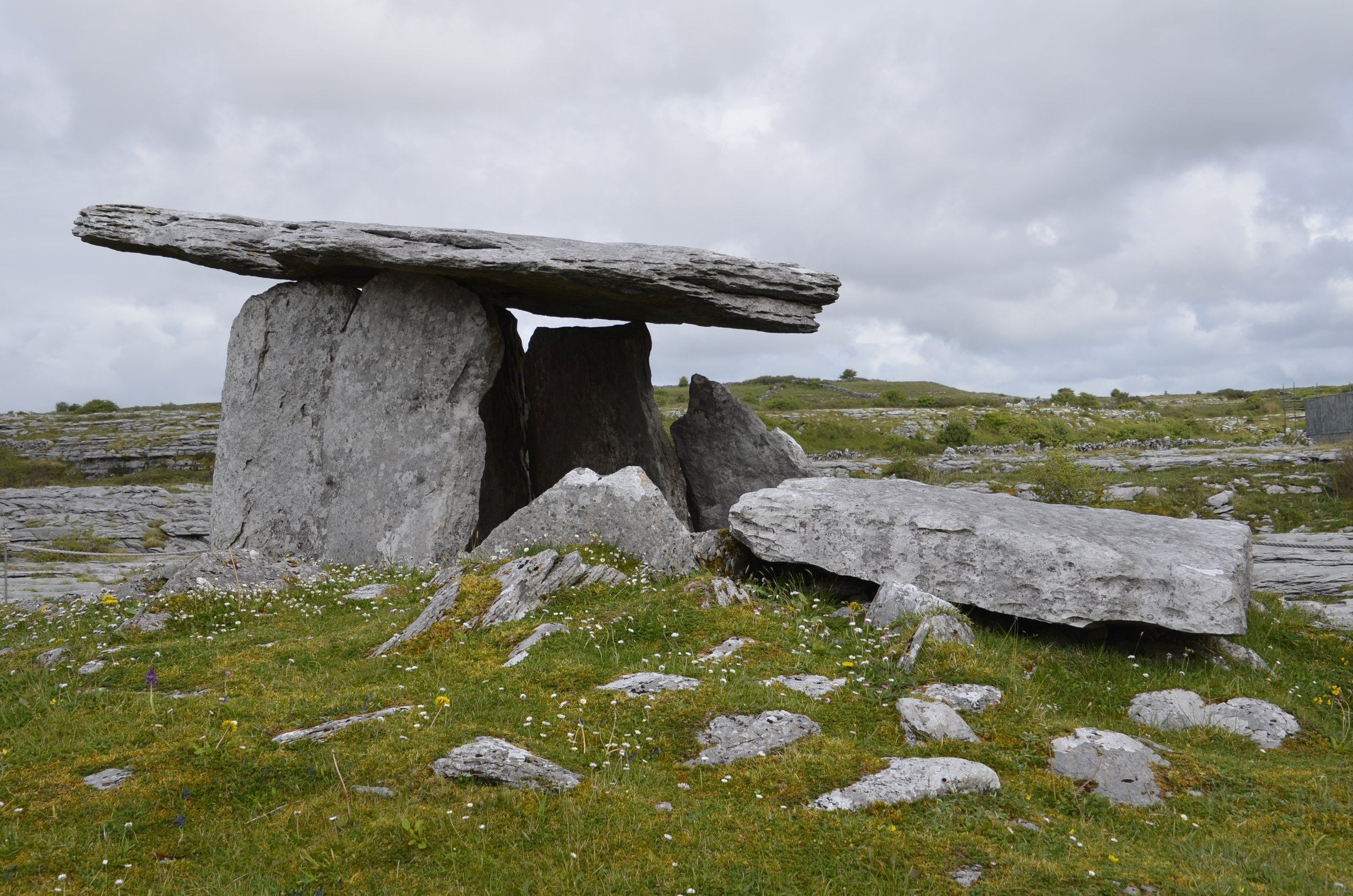
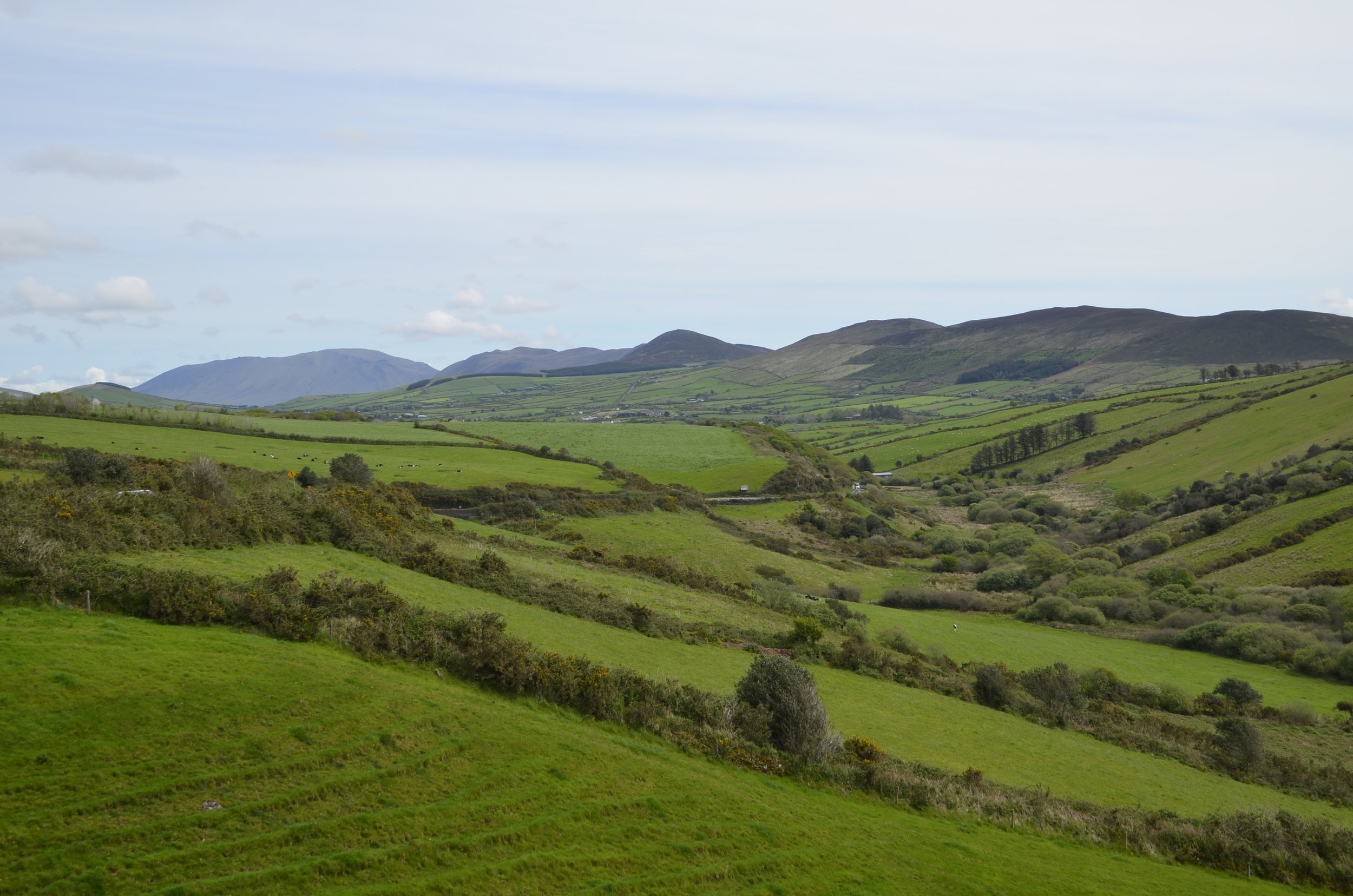
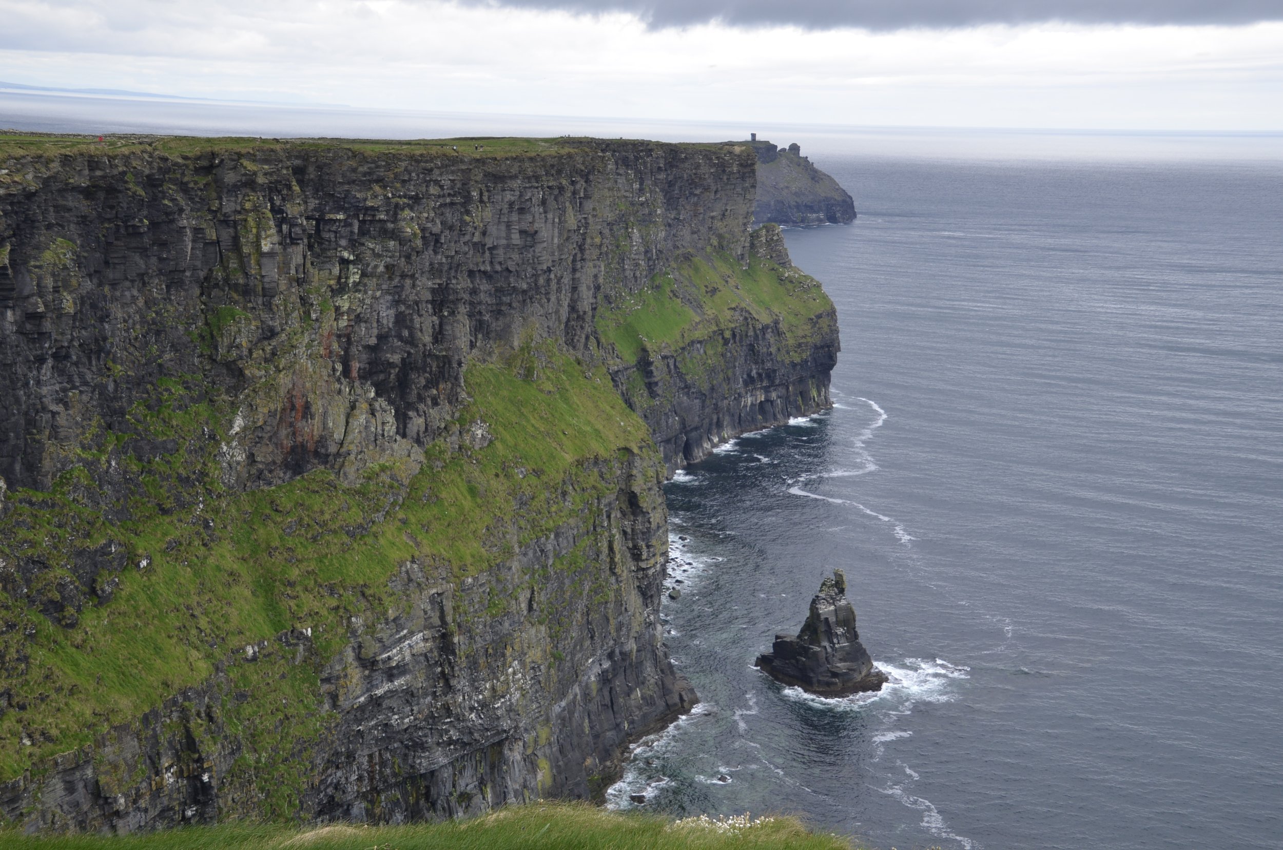
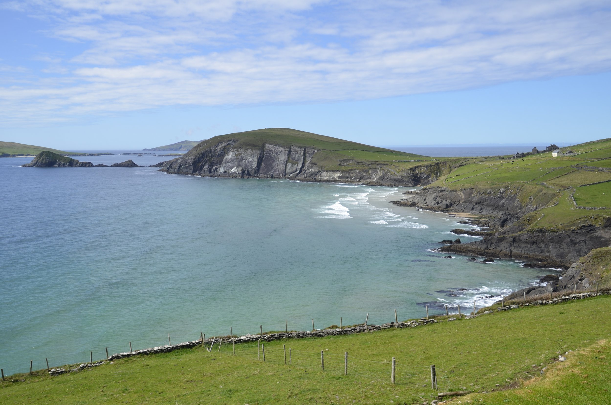
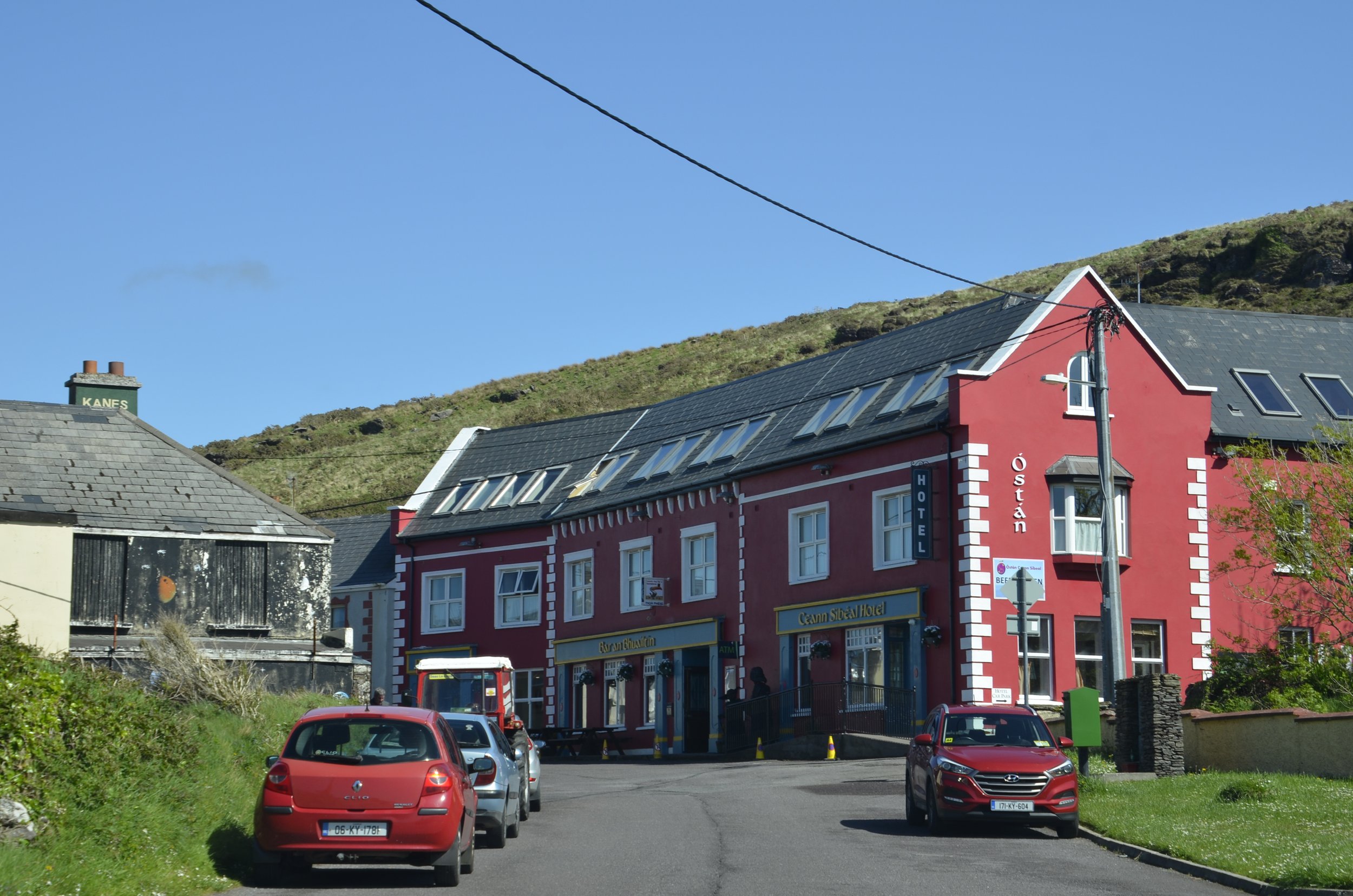
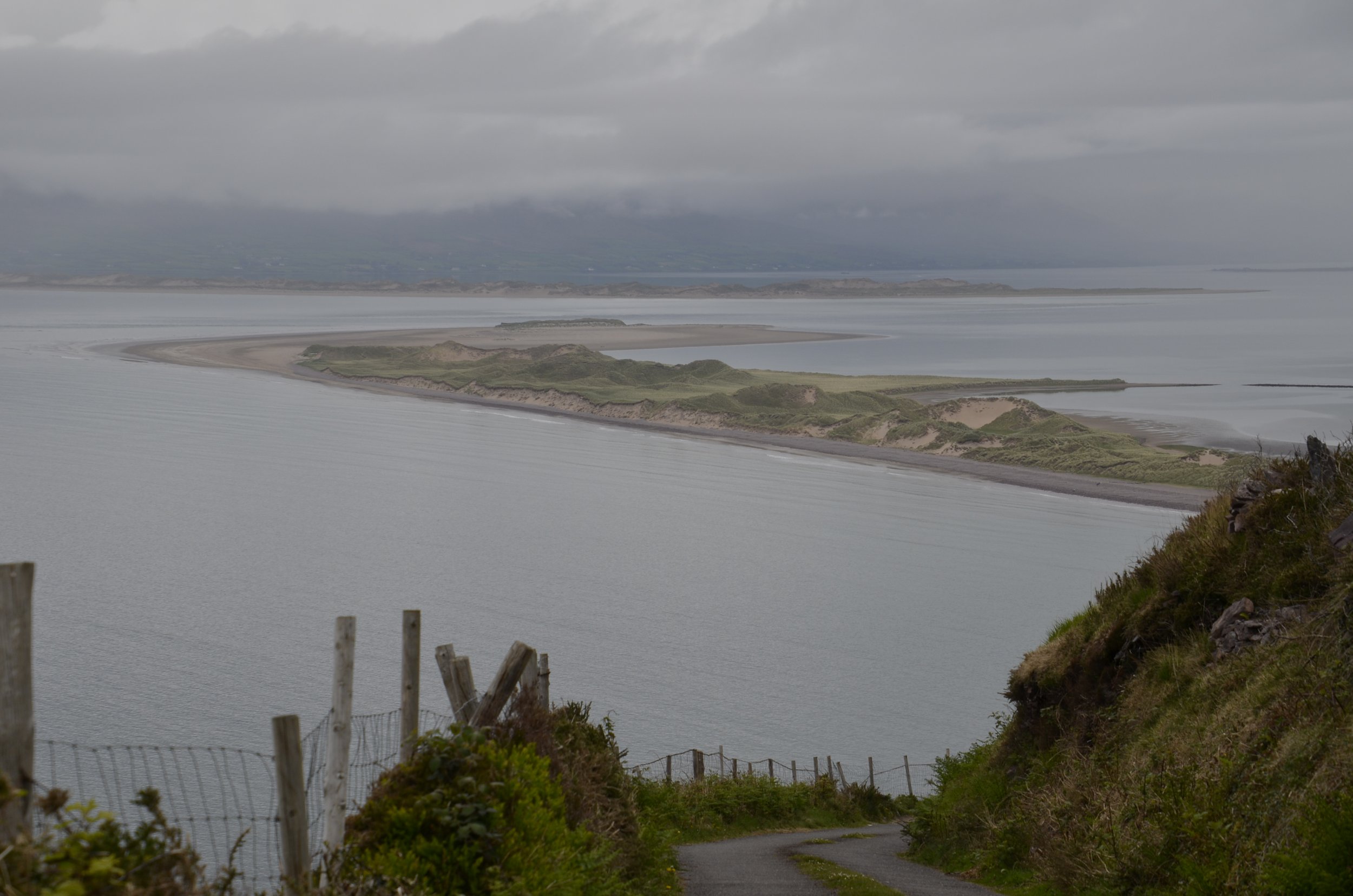
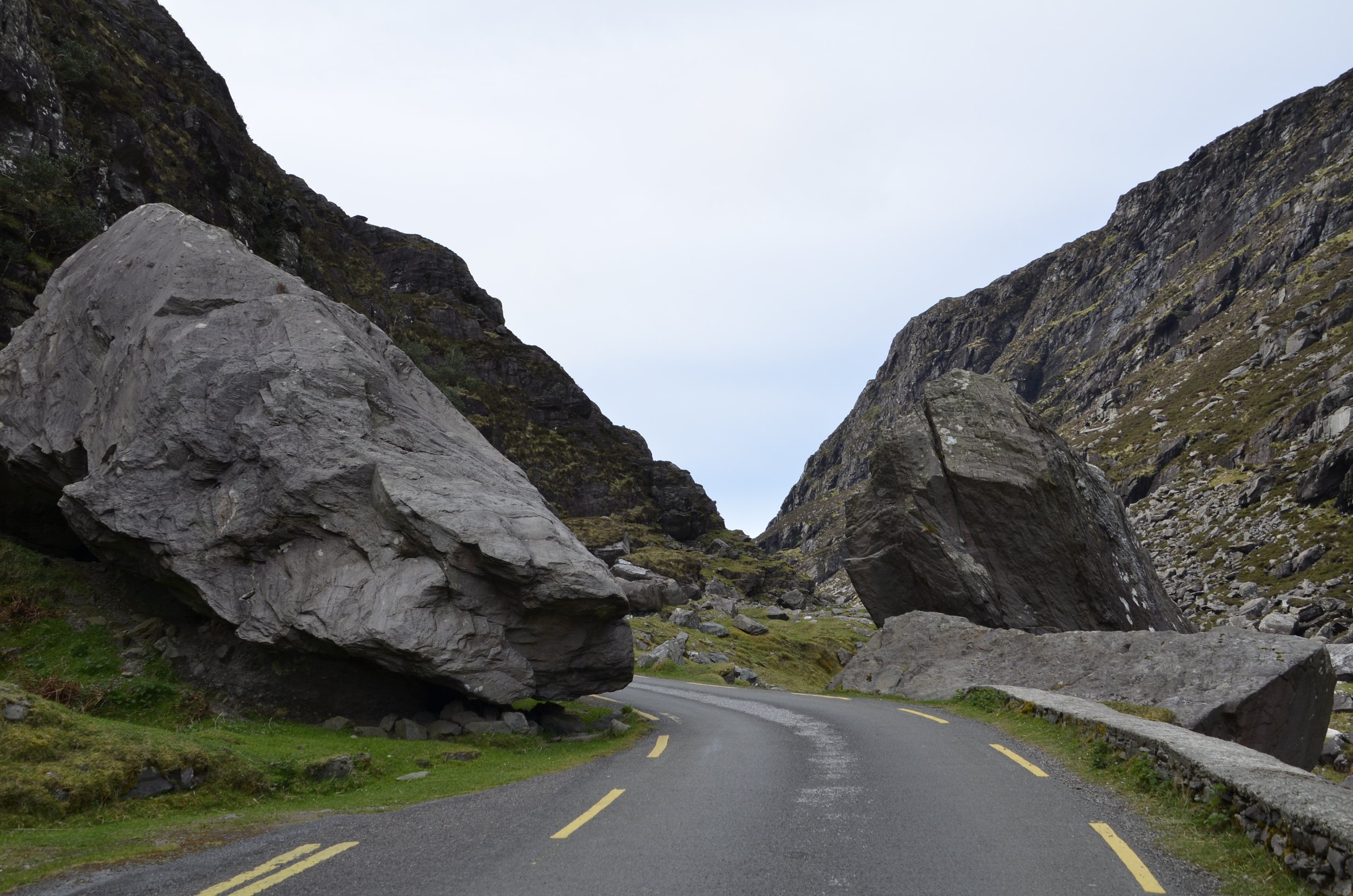
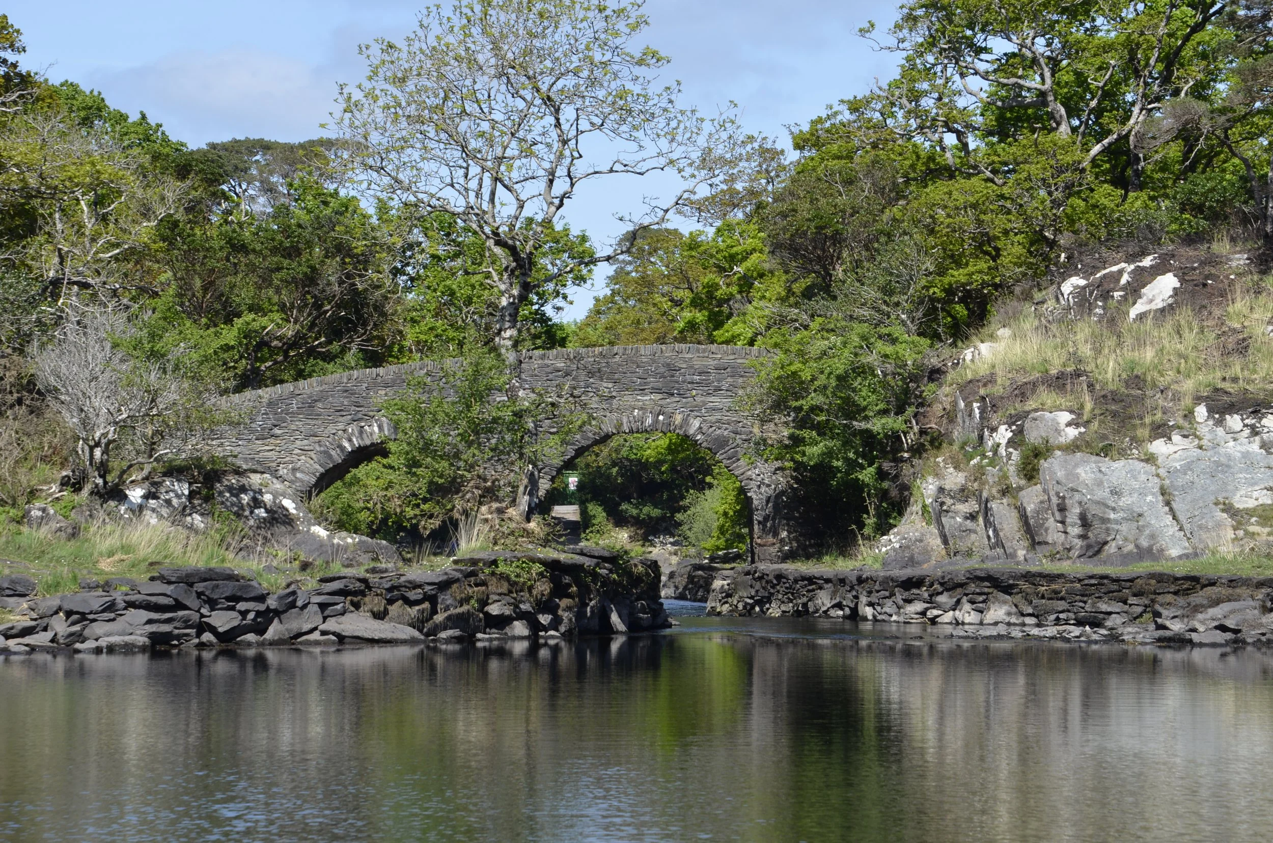
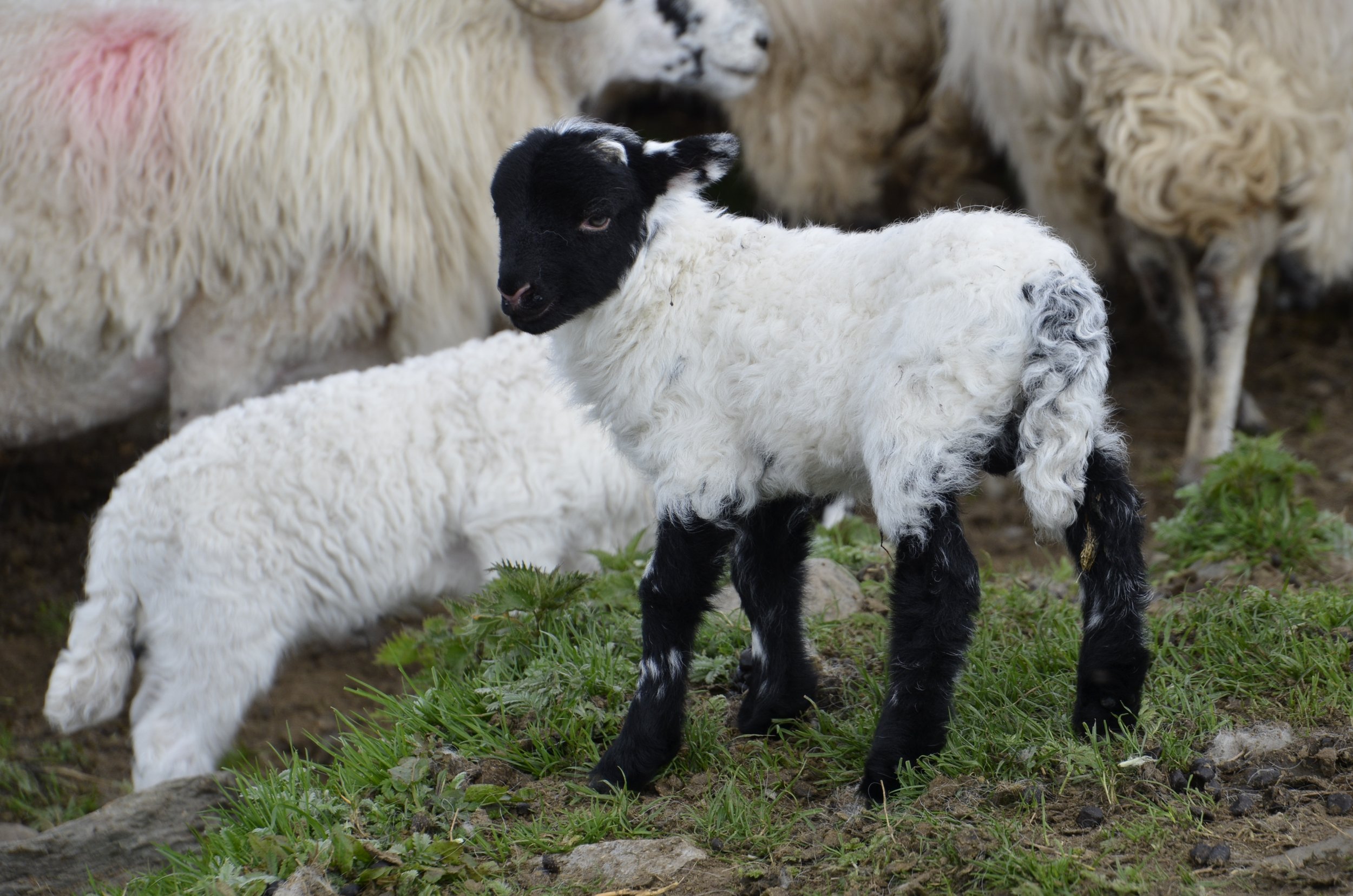
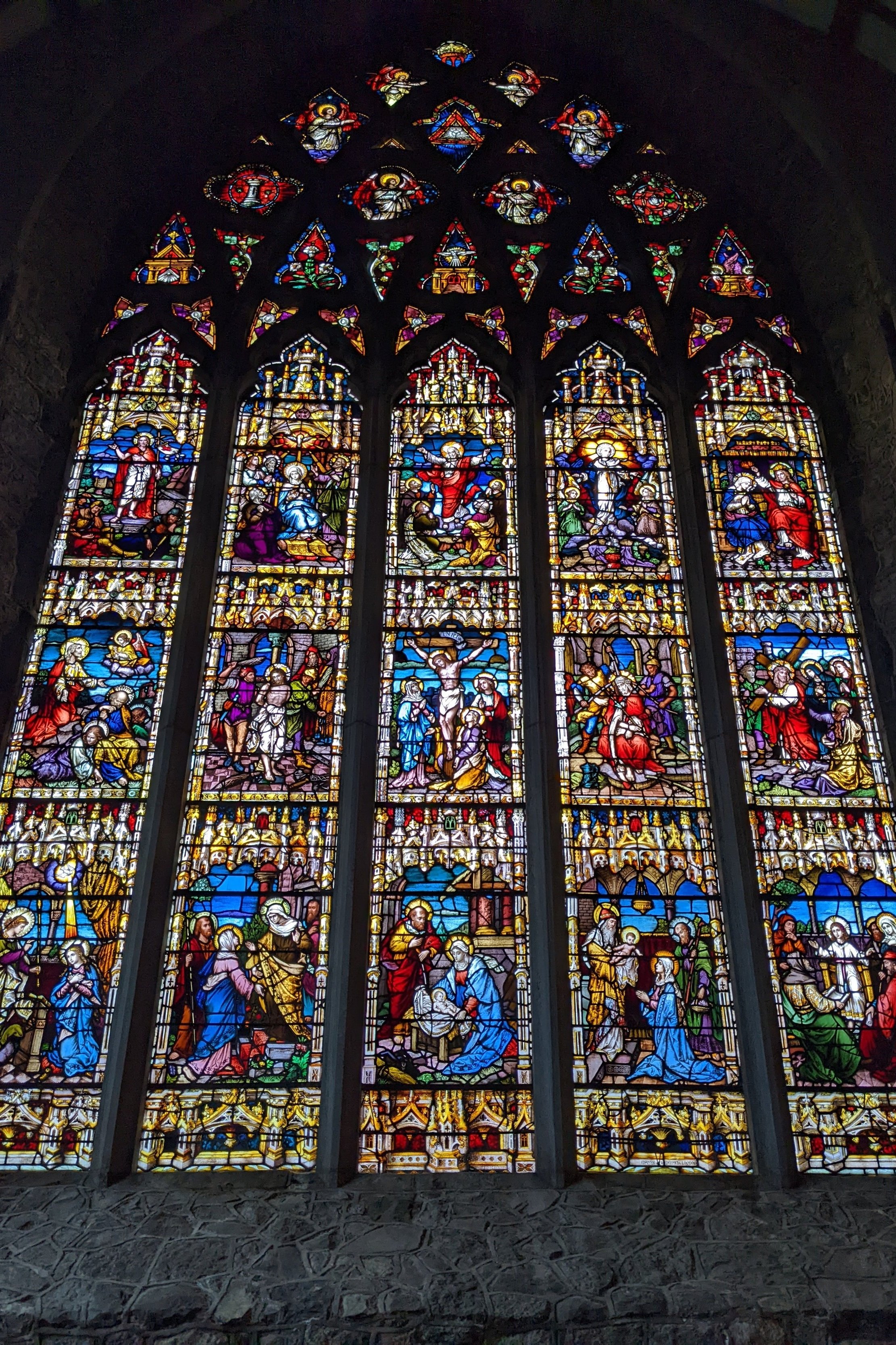
Now, we’re off to Scotland, and because I don’t have a magnificent picture to finish this blog post with, I’ll give you a peek at coming attractions -

Counties Louth and Meath

We’re now back in the Republic of Ireland, heading south from Belfast, to take in some more forests -

This was Rostrevor Forest, and it was so cool to walk along a path where all you could see around you were trees, ranking up and down the hills -

We exited the forest to climb up to the top of a nearby hill for the views…

… and to ogle the large erratic left behind by a glacier. It’s appropriately named the Cloughmore Big Stone.

Moving on to Ravensdale Forest…

… we wandered along moss covered walls…

… reveled in more bluebells…

… and crossed old bridges.

The nearby town of Carlingford was quaint -

Over the next two days, we explored the Boyne Valley, which is rich in archaeologic sites. We started with Trim Castle -

This was built in 1172, and still has an impressive wall in place -

We had a tour of the tall castle keep, which gave us great views of the River Boyne and surrounding town -

We then crossed the Boyne River on foot…

… as we visited Knowth.

This is a Neolithic passage tomb, with one large mound and 18 smaller satellite tombs. Artifacts found in the area date this to 4000 BC. The large mound is ringed by 127 kerbstones…

… with many of them having art carved into them.

One third of all-known megalithic art in Western Europe is at this site.

I really liked the apparent sundial motif -

Newgrange was our next stop -

As you can see, restoration has recreated what was believed to be in place, given the stones found around the tomb.

This is from the Newgrange website:

“Newgrange is a Stone Age (Neolithic) monument in the Boyne Valley, County Meath; it is the jewel in the crown of Ireland's Ancient East. Newgrange was constructed about 5,200 years ago (3,200 B.C.) which makes it older than Stonehenge and the Great Pyramids of Giza. Newgrange is a large circular mound 85m (279ft) in diameter and 13m (43ft) high with a 19m (63ft) stone passageway and chambers inside. The mound is ringed by 97 large kerbstones, some of which are engraved with symbols…”

The opening above the entrance is a roof-box that allows sunlight to illuminate the interior of the chamber on the winter solstice. We were given a tour inside, but photography wasn’t allowed. If you’re interested in reading more or seeing photos from inside, you can check this out - https://www.newgrange.com/winter_solstice.htm

This stone was particularly decorated…

… as was this one -

On the grounds here was a recreation of a structure resembling the beehive huts…

… like those we became enamored with along Ireland’s West Coast. We were able to wander around inside -

Enough with old buildings for this post. I’ll close with my artsy pic of the day -

County Antrim and Belfast

Continuing through Northern Ireland, we visited Glenariff Forest Park. We started with a great walk in the woods…

… that descended down to a river…

… along walls covered in ferns…

… and on to a waterfall…

… or two.

We also walked through pine forests…

… and met a friend -

Red Squirrel (unusual to see)

Heading on down the coast, we stopped in the little seaside village of Whitehead…

… to walk along a path that hugged the coast…

… and ended at the Blackhead Lighthouse.

See the path at the bottom?

As we continued on to Belfast, we were reminded how rural Ireland is -

(be sure to open this post in a browser to be able to see the video)

… and they weren’t quite done. I had to turn my camera back on -

In Belfast, we did a tour of the city in a hop-on, hop-off bus. We learned a bit about the history of the city, and saw some neat architecture -

City Hall

Some ornate brickwork caught Steve’s attention -

We passed a beautiful college…

… and some churches…

… but then came to Shankill Road and the “Peace” Wall -

Twenty years after “the Troubles” ended, there’s still a 6 meter high wall between neighborhoods with gates that are locked at night. It’s not really Protestant vs Catholic — it’s about whether Northern Ireland should remain in the UK or (re)join the Republic of Ireland.

It was also interesting to see the older stone buildings up against new glass and steel ones -

And now for some photogenic pubs we enjoyed -

That first bar pictured had a series of “snugs” where you could settle in with friends, and I loved the coziness of it.

Cuddle with your loved ones, as I bid you adieu!

Northern Ireland

We spent our first nights in Derry (Londonderry) and enjoyed walking on top of the walls of the old city. This is Bishop’s Gate -

… and the view from atop the wall -

This was a very crowded city (outside the walls) and not very interesting, although they did have a gorgeous Guild Hall…

… and a neat Peace Bridge across the River Foyle -

Now, across the northern coast is their country’s claim to fame - The Giant’s Causeway -

There are 40,000 interlocking basalt columns…

… which I found fascinating, because some were flat, some concave and some convex -

It was actually quite fun to wander over the site -

Continuing along the coast…

… the Carrick-a Rede rope bridge was a must visit for us.

The first bridge was built in 1755 to facilitate salmon fishing off the tiny island of Carrick. Our excursion wasn’t nearly as harrowing as pictures make it out to be.

Dunseverick Castle was a brief, colorful stop -

Some sidebar notes on driving in Ireland — Not all roundabouts are fully built up circles…

… and not all 2 lane roads can actually fit 2 cars -

Even on a drizzly day, this area was breathtakingly beautiful -

On a ramble out to Torr Head…

… I captured a stoat…

… bringing his capture back to his lair -

The day started in mixed clouds and sun, turned rainy in the middle and cleared up just as we got to our B&B for the night -

Inishowen 100

This is a 100 mile route around the Inishowen Peninsula, the northernmost of Donegal.

We first stopped at the Grianan of Aileach, which is a reconstructed stone fort on the site of an 8-9th century fort.

The views here…

… were amazing.

Always moving on…

… we briefly stopped at Dunree Head Fort.

We then drove on through Mamore Gap…

… first checking out where we’d come from…

… before turning to the road ahead -

I just loved this vista -

Next up was Glenevin Waterfall…

… which is on private land. There was a plaque there that told the story of a woman who wanted to retire in this area, bought property, and then found this beautiful waterfall back about 1/2 mile into the acreage. She subsequently cleared and paved the path, put footbridges and picnic areas in, so that everyone could enjoy this beauty. There was no charge for parking or admittance, but a donation box was at the entrance.

Continuing to move north up the coast…

… brings us to Pollan Strand, a 3 km stretch of beautiful fine sand.

I also had Five Finger Strand on my list of things to see. Little did I know that we would need to head down a narrow road (sensing a theme here?)…

… past huge sand dunes that had gotten covered in grass and sheep over the years…

… before reaching this hidden gem.

The sand dunes were massive (note the person on the beach above for scale)…

… as were the cliffs ringing the bay. This next picture shows the beach and bay from above -

So this is looking back south or west along the coast where we’d been…

… while this view is looking north toward Malin Head, the northernmost point in Ireland -

And I’m still finding orchids!

And just to share a little peek into the process :-)

There was a short walk along the coast here to a site dubbed “Hell’s Hole” -

This next picture shows how the farms stretch right to the cliffs, and how narrow the roads are. See the road in the middle of the picture? Now picture yourself driving along it, unable to see anything except the 5 foot high stone walls on either side of the car, and coming up to a blind corner…

Steve had so much fun! (not)

Anyway, our last stop was to check out Kinnegoe Bay; yet another of the innumerable sand beaches on the Donegal coastline.

Well, we headed out of the rolling hills of Donegal to enter Northern Ireland, where we stayed in Derry, which is the subject of my next post.

County Donegal

This county is huge and comprises most of NW Ireland. We had never associated Ireland with beaches and sand, but Donegal is loaded with them. This was the first of many (and it wasn’t nearly as pretty as some I’ll share with you later) but as you can see, it was huge -

On our way to our first major destination…

… the Slieve League cliffs -

The day turned dreary soon after we arrived, but closer up shots still looked nice -

The highest point is almost 2,000 feet above the water (nearly 3 times the height of the Cliffs of Moher), so you know that we had to hike along them…

… of course!

Maybe it was the dreary weather, but we just didn’t find them as picturesque as Cliffs of Moher or the Kerry Cliffs, although this shot was nice -

Moving on, we found another waterfall (imagine that!). This is Assaranca Waterfall as we saw it…

… and then using a tripod and a special filter -

So that was our first day of driving north in Donegal. Our second day dawned beautifully clear, and we forged on, to tackle as much of the coast as we could cram into one day.

That was an unnamed tower that just happened to be perfectly sited, on our way to - Crohy Head Sea Arch -

We couldn’t get any closer or better views due to private property, but we did catch sight of what we initially thought was a dog running down a hill -

Yep. that’s the biggest rabbit/hare we’ve ever seen! I wish I had something other than those rocks to give it scale.

Moving away from the coast, we passed Mount Errigal and the Church of the Sacred Heart…

… near Dunlewey Lough…

… on our way to visit the fifth (out of 6) National Park - Glenveagh -

… where there is a castle, a lough, some hills and beautiful gardens.

Next up was Horn Head, but I thought the views leading there…

… were better than the actual point -

Are you still with me?? A few more stops… Fanad Head Lighthouse -

… and then some gorgeous beaches… Ballymastocker Bay -

… and my favorite - Tra Na Rossan -

No, we didn’t hop to the Caribbean. We’re still in Ireland ;)

County Sligo

For the next several days of our trip, we explored County Sligo, which is the next county north of Mayo, and is small in size, but has a fantastic variety of topography. I chose Lough Key Forest as our first stop…

… because I had read that you could find bluebells here. If you’ve read previous posts, you noticed there’s no lack of bluebells in spring in Ireland, but this forest had them in spades

And I loved when they mixed with ferns -

When we first drove into the park, and were trying to decide what trail to take (to maximize bluebell sightings), I found that I needn’t have worried. Just wandering down any one of the trails through the trees yielded great results -

Continuing on that trail we would suddenly come upon a grove of magnificent pines…

… or a secluded bridge -

Our next destination was a waterfall, but the route there sure had some beautiful vistas -

Glencar waterfall:

The waterfalls in Ireland aren’t as impressive in size as those in Iceland, but the variety of greens surrounding them was magnificent.

Because we had a gorgeous sunny day (and the next was forecast to be raining for most of it), we packed all of the sights I had planned on visiting over two days into the one. We ogled Benbulben as we drove by -

… on our way to Gleniff Horseshoe. My pictures just can’t do justice to this massive glacier-carved valley…

… but I’ll try.

Still moving on, we headed for a true hidden gem that I read about. There are no signs, it is not well-marked on Google maps, and not even all of the locals know about it. Luckily, however, someone had posted rough directions and pictures, so we could find the little trail off the side of a narrow road -

This is the way to The Fairy Glen -

Because there was no signage, I had no idea how far we had to walk or if we’d recognize it once we got there. No worries -

This huge, quiet space is completely hidden from any nearby roads…

… and is bordered on two sides by sheer rock walls, in some places probably 40-50 ft high.

Now the next day did have pouring rain for the entire morning, but once it cleared, we headed out for a short hike…

… up Knocknarea mountain…

… to Queen Maeve’s grave -

There wasn’t much to see at the cairn -

… but the views were phenomenal. In this next picture, check out the cloud reflection in the foreground and the lit up beach in the distance. :)

Thus, our travels through Sligo come to an end -

County Mayo

Continuing to head north up the west coast, the edges of County Mayo were our next destinations. Beautiful country was all around -

Muingelly Head was neatly flat…

(note the little white dots of sheep in about the middle of the picture)

… and beautifully cut in -

Our next stop was Downpatrick Head, but I couldn’t get a good picture of it, due to the curve of the road and the topography. This is when I used my long lens from Muingelly Head -

This was why we came out here -

Dun Briste sea stack.

In that shot I was really grateful for a person on the point, adding scale. An arch that led to the sea stack collapsed in 1393. Remains of walls and houses have been found on top.

A little further up, the coast continues to be quite rugged -

We had stopped in a small village for sandwiches that we enjoyed here -

… and were given a couple of fantastic tips on local sites. The first was a standing stone…

… which is reputed to be the tallest still standing in Ireland. It is 15 feet high…

… and besides the crosses near the base, there are ogham inscriptions. This was the earliest form of writing in Ireland, characterized by short strokes of lines in groups of between one to five. I only found out that last bit of information when I was writing this up, thus I didn’t take a picture of the marks, as I didn’t know what ogham writing was. (Remains of a nearby church date from the 7th century.)

Our next stop was Moyne Friary. What a hidden gem! Reviews online said not to worry about the sign, and just climb the stone stile and walk down to the field. Mm…ok?…

We never saw a bull, but there were cows and calves further down behind an electric fence.

This was built around 1460, and there was still a holy water font!

The cloister was still being kept well tended…

… and I loved exploring all over…

… including the second floor, seeing a two story fireplace…

… and beautiful views.

That’s all for today. No fancy ending, just timeless beauty -

Interesting weather for hikes

“Interesting” is not a desired descriptor of weather when you’re hiking in Ireland. We visited Connemara National Park to hike Diamond Hill.

As you can see, the weather wasn’t very welcoming when we started, but it changes quickly here, so we set off. At the base, everything was green and inviting -

As we climbed higher, you could see farther and we took hope from the patches of blue sky -

Near the top…

… a fast moving line of clouds drenched our legs and (adding insult to injury) pelted us with sleet!

As quickly as it came, it was gone and the sun came out for the rest of our hike.

Kylemore Abbey from above -

The path down off the hill on the back side wasn’t nearly as pretty, but it was sure expansive -

We then drove back along Killary Fjord…

… and passed through pockets of lushness…

… before climbing up past loughs as the clouds moved in again.

We also passed by a farmer working with his dogs -

We drove on many narrow roads on our travels…

… and met or passed many tractors both out in the countryside as well as in small towns.

Our next day was another big hike - up Croagh Patrick. The Diamond Hill hike was a baby (1300 ft of ascent over 4 miles) compared to Croagh Patrick (2400 ft of ascent over 4.6 miles).

Croagh Patrick is considered a holy mountain. Legends note that St. Patrick spent 40 days there for Lent, and archaeologists have found that there have been chapels at the summit since the 5th century. Thousands of people summit the mountain in late July for an annual pilgrimage.

It was pretty enough when we started…

… and the beautiful blue of the Atlantic kept teasing us -

Soon enough, we were climbing into the clouds -

(see the tiny people on the path?)

Woohoo! We made it to the top!

Apparently, there are gorgeous views from up here…

As we descended, we started seeing green…

… and then beautiful blue skies -

I guess I should have saved the picture of the little lamb to close this post, since I don’t have a real fitting one at the end of this long hike. You’ve also seen enough pictures of pints and whiskey pours, so instead I’ll give you a taste of a sunny day in County Mayo, which will be the focus of the next blog -

Unique activity

I need to start this post with a cute little guy that we saw a few days ago. He was so young that he still had his drying umbilical cord attached!

Now back to the topic at hand. Friends of ours who had been to Ireland before recommended that we visit Ashford Castle…

… because of their offerings:

Frodo was my buddy for an hour -

He is a Harris hawk, and they are used at the school because they are social birds, and easily acclimate to humans.

His talons look quite fierce, but I didn’t feel anything through the thick leather glove. He only weighs about a pound…

… and it would barely register when he came back and landed on my hand. I expected a much more forceful thump. :)

They come to associate an outstretched arm as a perch, and know that there will be bits of mice in the glove as a reward for returning.

In the picture above, you can see the bells that the handlers use to find them in the woods, but if they can’t hear or see them, there is also a GPS tracker, if one decides to roam a bit further afield. You can also see the jesses, or leather straps attached to his legs, that we held onto when we were walking to and from the barn/cage area.

For the next videos, be sure to have opened this post in a browser window -

Then Steve had a chance -

As you’ll see, it took a little longer to bring Frodo in, as the hour went by, because he was getting full.

After we headed back to the cages, we were treated to a meeting with Dingle, a Eurasian Eagle Owl…

… which had been taught to display his wings for a reward -

Hooo you lookin’ at?

I didn’t get a picture of it, but he can swivel his head 270 degrees!

We reluctantly left our feathered friends and drove along Lough Comb…

… which is the largest lake in Ireland, and reputed to have 365 islands. By the way “lough” is pronounced “lock”, similar to Scotland’s name for their lakes.

We kept on driving west through County Galway, through some gorgeous hills…

… to reach Ireland’s only fjord…

… Killary. This was the inlet, and the fjord stretched nearly 10 miles!

Nearby was Kylemore Abbey, where we just stopped to get some pictures…

… before reaching the small town of Clifden, where we were spending the night.

There was a short scenic drive above town…

… with some friendly guides at the parking spot.

There were quite the expansive views…

… as well as tidy cottages.

Closing with one of my favorite pictures of the day -

The Burren

After we left the town of Doolin and the Cliffs of Moher, we first headed east into County Clare to explore the other-worldly national park - The Burren.

I just read that it’s quite unique in its plant life, with Arctic, alpine and Mediterranean plants living side by side. I had taken a picture of these pretty purple-pink flowers…

… that I later found out are Marsh Orchids. That’s right - orchids in Ireland! Zoom in on the picture above and you’ll see the telltale orchid shape. All of the different wildflowers caught my attention…

… and they handled the strong winds very well.

This was a diverse collection -

… and then we wandered by a small grove of willow trees with bluebells under them.

The landscape here is described as karst, which we know in middle Tennessee as the open areas of limestone that can just pop up in the middle of a field. Well here, there’s miles of interesting formations -

We continued hiking upward…

… until we reached the top.

The winds were amazing. It was a windy day to begin with - probably 25-30 mph constant winds, but at the top, we’re guessing we were hit with nearly 60 mph blasts that almost knocked us off our feet.

We were left wondering why anyone would build rock walls in this bleak landscape -

As we descended, we were reminded we were in Ireland after all -

We then moved on to visit a dolmen.

Poulnabrone Dolmen is a portal tomb that contained bones around 5,500 years old. It is most likely that it originally was earth covered and topped with a cairn, but years of erosion have uncovered its structure.

It’s so cool that the upright stones are now only supported by the weight of the capstone.

We spent the night in Galway, but have few pictures to show for it. This was a multilevel bar we visited, continuing our roving tasting of Irish whiskies…

… and I wanted to show how perfectly a pint of Guinness can be poured, with the foam cap remaining in place above the lip of the glass. :)

Cliffs of Moher

Before we get to the main event, I want to share some pictures (no, really?!) on our way to County Clare. Leaving Dingle…

… we were headed toward Limerick…

… through the Conor Pass…

… which gets a bit narrow at times.

Yes, that is a “two-lane” road, with no pulloffs for quite awhile.

Luckily, we didn’t meet anyone coming the other way as we descended.

We stayed overnight in Limerick, and visited King John’s Castle (just ok), which gave us this great view over the countryside and the River Shannon -

So that was County Limerick. Now on to County Clare -

That’s Doonagore Castle above, with the Aran Islands in the background. They are the home of the famous sweaters you may have heard of. We unfortunately didn’t get to visit them, because the day we were planning to go, it rained miserably hard all day.

Luckily, as we drove to Doolin, the town that sits at one end of the Cliffs, the weather was decent (i.e., not raining).

The picture above is the south end of the Cliffs of Moher, where we started our 9 mile out and back hike along the cliffs. Looking north…

… you can see the scale by noticing the people at the top of the cliff in the next picture -

I think this was where…

… Steve took this picture -

[I was careful. I never stood right on the edge. ;) ]

The cliffs were just magnificent…

… and it just pains me that we couldn’t have had pretty blue skies and sun for our outing.

I loved the narrow spires -

As we approached the Visitor’s Center, which is about at the halfway point of the length of the cliffs, we started meeting hordes of people. I was still able to get the shots I wanted…

… but it detracted some from the beauty and expansiveness of it all.

We turned around when it started misting…

… because we had to return to our car. Just as we reached the end (our beginning), the sun came out briefly, brightening the colors -

This sunset the next evening helped us say goodbye to this beautiful area -

P.S. If you’re planning on hiking the Cliffs, please send me an email and I can give you good tips on where to park for your out and back trip (not relying on the shuttle bus).

The Dingle Peninsula

We started our travels this day under a very cloudy sky and rain.

Our first stop was supposed to be a gorgeous beach (and I’m sure it is on a clear day). We were surprised to see a group of surfers having a lesson -

As Steve commented, “If you’ve prepaid for surf lessons in Ireland, inclement weather is no deterrent.”

The Dingle Peninsula is one north of the Iveragh Peninsula (with the Ring of Kerry) and is still in County Kerry. Lots of stone walls, sheep and green spaces -

We stopped to see some Beehive Huts that were built with drystone corbelling about 1,000 years ago. Unfortunately, most of these were lacking intact roofs…

… but we did spy a couple up a hill on private land that appeared intact -

As we continued driving, the skies slowly cleared.

Coming around the western tip of the peninsula….

… we were treated to blue skies, sandy beaches and offshore islands.

It was just amazing how high up the hillsides that the stone walls continued -

Another beehive hut!

Just another pretty view of Coumeenole Beach -

Our next stop was Dunquin Pier (Cé Dhún Chaoin)…

… which served the Blasket Islands -

There was a placard here that had an old photo of a herd of sheep coming up that steep ramp.

Still moving on, Clogher Strand (beach) was gorgeous…

… and Sybil Head was dramatic -

Here are a couple of pictures from a typical small town (note the bright colors and the stones on the corners) -

… and this was the typical style of lettering for signage (although luckily, only rarely in Irish) -

Our final stop was the Gallarus Oratory -

This was built in the 7th or 8th century, and was so well constructed that the interior has remained dry to the present time!

This round window at the back was certainly unique -

I’m going to close with an example of some of the music we’ve been enjoying when raising a pint (of Guinness, of course!) in local pubs:

Ring of Kerry

This is a very popular drive, owing to all the beautiful sights and coastal roads.

This first place we stopped, Rossleigh Beach wasn’t too impressive…

… until we got up the road above it, and saw how extensive it was.

It sure wasn’t the prettiest day for sightseeing, but it’s Ireland after all. Ahhh, now here’s the Irish green we like -

… and some more -

The brooding look of Ballycarberry Castle fit the day well -

There were two stone circle forts nearby. Cathergall was the largest and best preserved. (The walls are laid in what’s called a dry stone method, i.e. without mortar.)

As you can see, there are steps within to reach the upper levels…

… and a round house in the middle. This fort is thought to be about 1,000 yrs old and was probably a farmstead of somebody important. The other stone fort had lower walls, but a nice view of the castle, and both a round and square house in it -

Heading to the southwest coast of the county, we reached the Kerry Cliffs.

They are not as well known as the Cliffs of Moher, which are one peninsula north, but at 1.000 ft high, they’re pretty dramatic -

Another cool ruin, on a nice beach, was Ballenskellig -

As we continued to drive around the Kerry peninsula, we’d marvel at all the stone walls. After I put the next picture on my computer, I noticed that I had captured a stone fort that just happens to be in the middle of somebody’s field.

It was also very interesting to see all the little offshore islands dotted around -

One last stone fort we visited, Staigue, had walls up to 20 feet high…

… and an awesome stone lintel -

Our last “sight” of the day was Ballaghbeama Gap…

… with the requisite stone wall -

Again, this is a two-way road, plus you have to watch out for sheep!

This was a special little spot during our travels today that made me smile -

Bluebells in Ireland mean spring.

Until next time…

Gap of Dunloe

The start of the trail was just a few minutes drive from the farm where our B&B was. The parking was at Kate Kearney’s Cottage. :) As we started, we got a close look at a gorse bush:

note the thorns!

We were a little dismayed to find the entire “trail” was along a road…

… and that we would share it with “jaunting cars”…

… as well as modern cars. Ah well, more’s the adventure! As we strolled along, we met this old codger -

… as well as watched this youngster enjoy a snack -

(reminder - if you don’t see a video below, open this email in a browser window)

As we continued to climb, the sun came out…

… to give us some pretty nice views of where we’d been.

A pause in the story here, to show you an example of some our driving conditions. The picture below was on this road that we were walking, but it is like some of the two-way roads we’ve been on -

Resuming our regularly scheduled story…

… and yet another bridge -

(I liked both the reflection and the running water)

Coming down the other side of the Gap…

… we were treated to views of this valley, and passed by jaunting cars -

After hiking 7+ miles, we were glad we had arranged a ride back by boat (rather than repeat our journey back through the Gap to return to our car), on the lakes…

… and rivers of the Killarney National Park.

I’ll close with a cute video of how we feel at the end of a long hike -

County Kerry

Continuing on with our road trip…

… we headed out of Cork Co. and up into the hills.

They grow a lot of stones here in Ireland. Everywhere the demarcations between fields are either stone walls or hedgerows (that are bushes grown over stone walls over the centuries). Sometimes the walls aren’t enough to keep the residents in:

At the top of Healy Pass…

… we looked back at Cork…

… and ahead to Kerry -

Rhododendrons and azaleas along the roadside are are common sight…

… as are subtropical plants that can live here due to the Gulf Stream preventing any frosts.

We passed a farm where the owner had just dropped off some food for the sheep, and I was thrilled to see a multitude of young lambs -

I loved the long, curly haired tail, as well as the horn buds -

Our next stop was “Ladies View” (the name stemming from the admiration of the view given by Queen Victoria’s ladies-in-waiting during her 1861 visit to Ireland) -

This is in the Killarney National Park (which has been one of my favorite areas so far, due to the sheer beauty and number of fine sights to see and wander in). Next up was Torc Waterfall, which had a gorgeous little path through the woods, up to it -

… and I kept expecting the trees to get up and start walking…

… a la “Lord of the Rings” -

Torc Waterfall —

Muckross House and Gardens was next on our list…

… and I truly fell in love with the peace and beauty there.

About a kilometer from the house (still on the grounds) is the remains of Muckross Abbey.

It was founded in 1448, and has been damaged and rebuilt many times.

The yew tree in the courtyard is reputed to be nearly 1,000 years old!

Our last stop on this busy day was Ross Castle…

… which was just ok (I think we’re getting “castled-out” already!), but it had a nice siting on a lake -

We finally got to put our feet up at the B&B that we’re to stay at for 3 nights (what a luxury!), and felt like this 3 week old calf - (if you can’t see the video below, open this email in a browser window so you can watch it)

Tipperary and Cork counties

We saw a number of sights this day and drove many miles before we slept…

The Rock of Cashel is quite impressive, even from a distance. It is reputed to be the site of the conversion of the King of Munster by St. Patrick in the 5th century. The oldest building is the Round Tower, dating from the early 12th century…

… while construction of the cathedral was begun in 1290. Cormac’s Chapel, built of sandstone, was consecrated in 1134, and is one of the earliest examples of Irish Romanesque architecture -

The interior is very unique, with bits of colorful frescoes still remaining, along with interesting carved heads -

Inside the cathedral are huge vaulted ceilings…

… that survive from the 13th century.

The surrounding countryside is peaceful farmland -

Down the hill is Hore Abbey…

… which gave us different views of The Rock -

… as the sun also played a part.

Moving on to Cahir Castle, we felt like the exterior was more compelling than the interior…

… although it did give us this great view up the River Suir -

(please forgive the blurriness, as this was shot through a window)

Leaving the lush countryside of County Tipperary, we headed to the southwest point of the country in County Cork…

… which is Mizen Head. Rather than a lighthouse, they have a “Signal Station” -

On the walk out, we were treated to some gorgeous coastline…

… and fascinating geology -

We also crossed a neat bridge…

… to reach the point.

There, we could see up the coast -

With a beautiful end to a long day…

… we spent the night in the quaint village of Bantry.

Kilkenny

On the way to our next stop, we enjoyed all the green new leaves popping up…

(those one lane stone bridges are nice to photograph but can be challenging to negotiate)

… but how you get all that green is with a fair bit of rain -

The town of Kilkenny had quaint little streets to explore -

… that were fun, even in the rain -

Once the rain broke, we wandered down to the river…

… to get our bearings.

We visited Kilkenny Castle…

… where the original part was built in 1195, and the building has been occupied in some way over the next 800 years!

(note all the chimneys - just about every room had a fireplace, or two)

There were beautiful grounds also -

As we explored more of the town, we found a familiar sight (to us) -

The Black Abbey is the name of a brewery in Nashville, and a depiction of the building is on the labels on the bottles. :)

It was originally built in 1225, with major parts added in the 14th and 16th centuries. The Rosary Window is the “largest of its kind in the country, and the last major work done in Ireland during the first half of the 14th century”.

(Sorry the corners are chopped off, but I had to edit it so it wouldn’t appear “stretched” in the post. Be sure and enlarge this to see the intricate details in the glasswork.)

St. Canice’s Cathedral and Round Tower are another set of very old buildings (built between 1202 - 1285) -

Returning to the River Nore…

… I wanted to share a picture of Matt the Millers, where we spent a very enjoyable evening listening to a blues rock cover band from San Francisco (!) who were in town for a roots music festival. We also sampled a few Irish whiskeys. ;)

I’ll leave you with my pretty picture for this post -

Spring is here!

Glendalough

We headed about an hour south of Dublin to the Wicklow Mountains National Park. It was a rainy/misty day and was definitely an early test of Steve’s driving abilities with a manual transmission and driving on the left.

As you can see, there is no center line on the road above, but it IS a two way road. It is about 1 1/2 cars wide, so when you meet a campervan…

… one of you pulls into a wide spot in the road, to allow the other to pass. This is easily done in wide open spaces, as you can see above, but it gets much trickier when you are on a narrow road between two high hedgerows or stone walls! (I’ll hopefully have a visual example of this later)

We stopped at Glendalough to get in a long hike (8 miles), and we didn’t have time to explore the ruins of an old monastic community that we walked right by.

The hike started easily enough…

… past a small lake,

… before reaching the bigger lake -

We climbed past a waterfall that showcased the variety of greens that I have been going gaga over, throughout this lovely country -

… and continued upward…

… where we met a climbing buddy -

I later found out that this is a Sika deer, which is a species originally from Japan, and was introduced by a rich landowner in the mid 1800’s as a “decorative addition”.

Looking back as we climbed upwards, the small lake is nestled in the valley -

As we reached the ridge, the “trail” became these boards with slightly elevated cable staples in them to provide traction. This was particularly welcome, as the day remained damp.

We proceeded along the large lake for a number of miles…

… meeting some more friends..

… as we continued along.

We had a brief moment of clearing, so we could admire where we’d come from…

… as well as how far we still had to go -

As we descended (we had climbed about 1800 ft), we saw yet some more furry friends but they remained at quite a distance.

This part of the hike was much rockier, but we had our finish in sight (although still several miles away) -

Finally, flat ground!

This was the last shot I got, as the rain decided to come down in earnest for our last 2 miles back to the car.

The yellow flowers are on gorse bushes, which are widespread throughout the country, and are a thorny evergreen.

Tata for now!

Dublin, Ireland

Our latest adventure brings us to the Emerald Isle. Our first two days were spent in Dublin checking out pubs…

… like the one above - with the characteristic signage and barrels out front (where locals gather, no matter the temperature, to chat and share a pint), and churches -

The one above is St. Patrick’s Cathedral, while the next one is Christ Church Cathedral:

We toured inside Christ Church, where the tile floors were really eye-catching…

… and old (about 1,000 yrs)!

(newer tiles adjacent to originals)

We also wandered around Trinity College a bit…

… and enjoyed the grounds of St. Stephen’s Green, on what we’ve come to find out was a rare sunny day.

Spring is bursting out all over…

… but if the weather isn’t conducive to outdoor wandering, you can always resort to the activity we literally started our travels with, right after dropping our bags at the hotel -

Sláinte!