Scuol, Switzerland
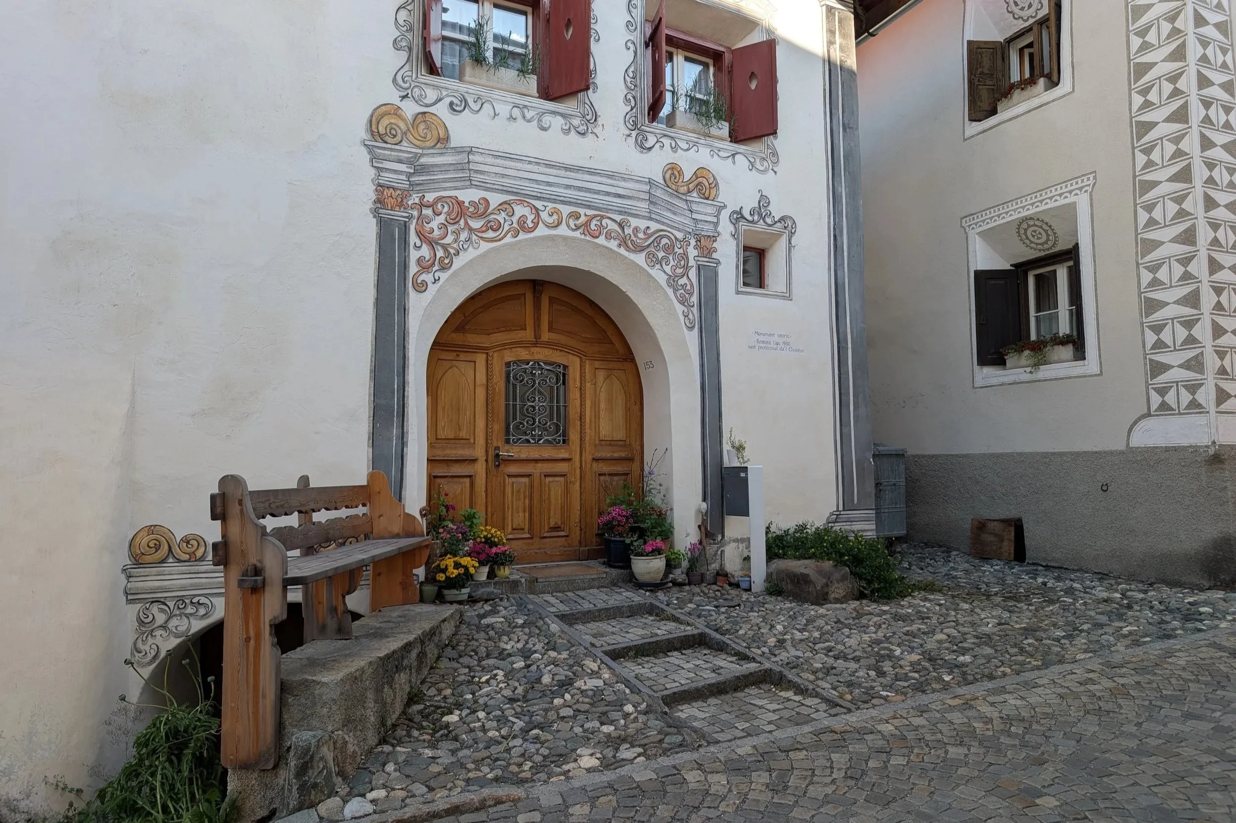
We started our two week exploration of this beautiful (expensive) country in the SE corner where Romansh is the official and primary language, followed by German. This town came to my attention because of the sgraffiti used on the architecture -
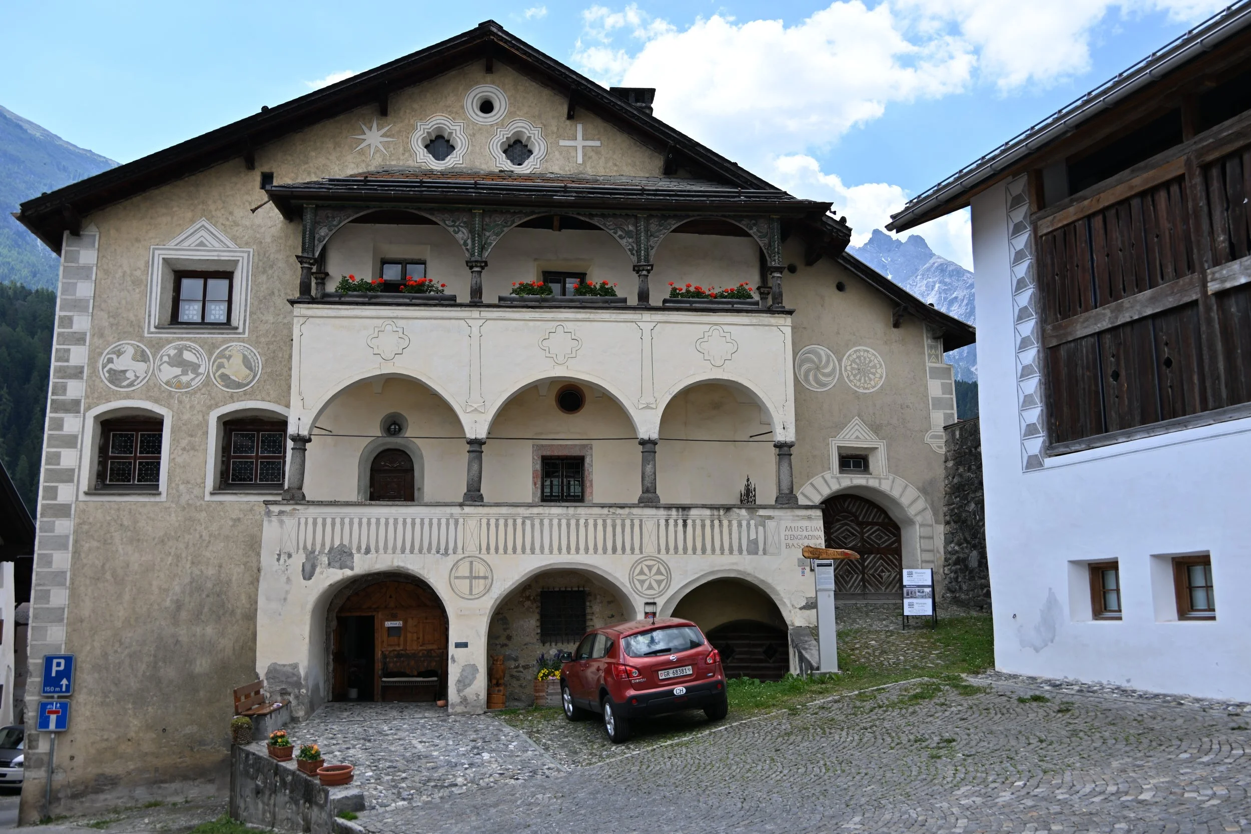
This is a decorative technique that scratches through a coating on a hard surface to reveal an underlying layer of another color -
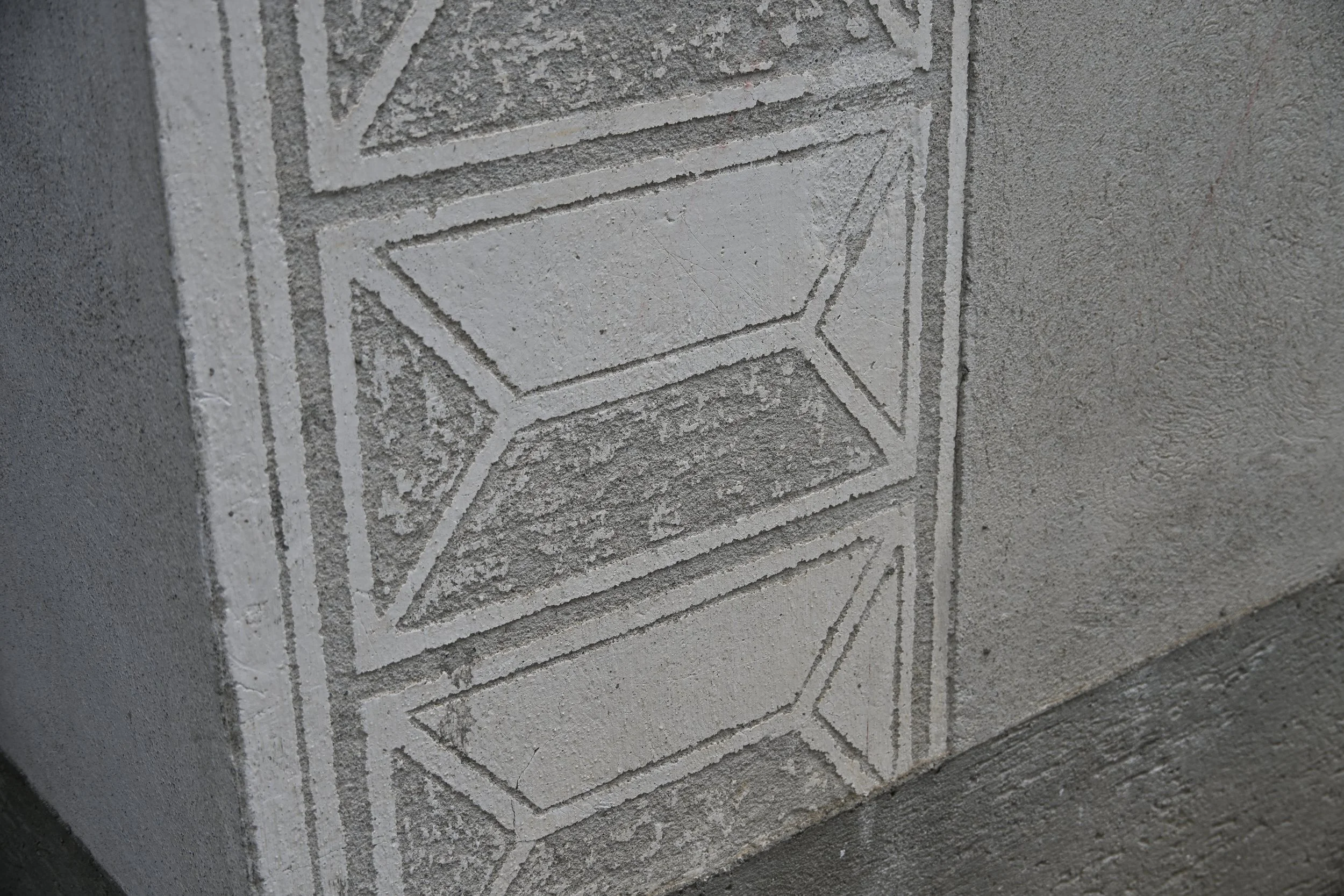
Just about every building in town had this…
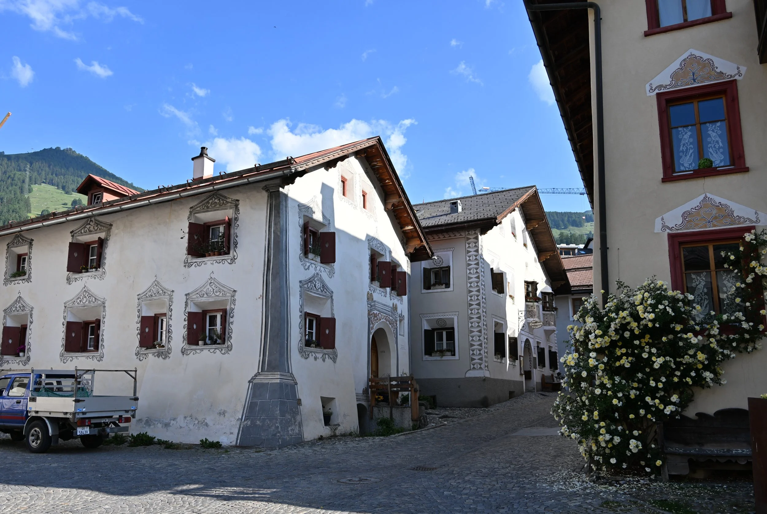
… and almost every home had a rounded entryway -
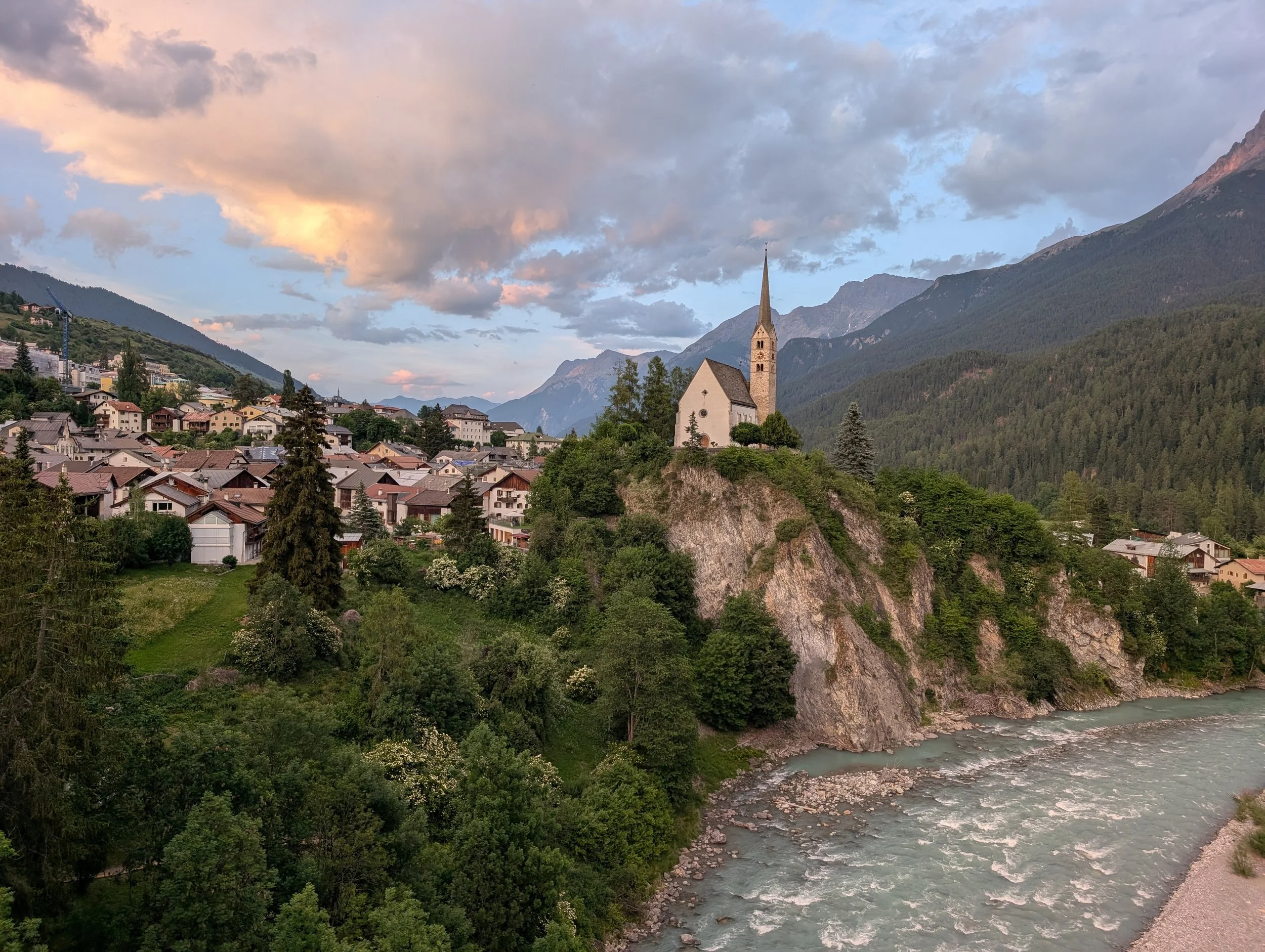
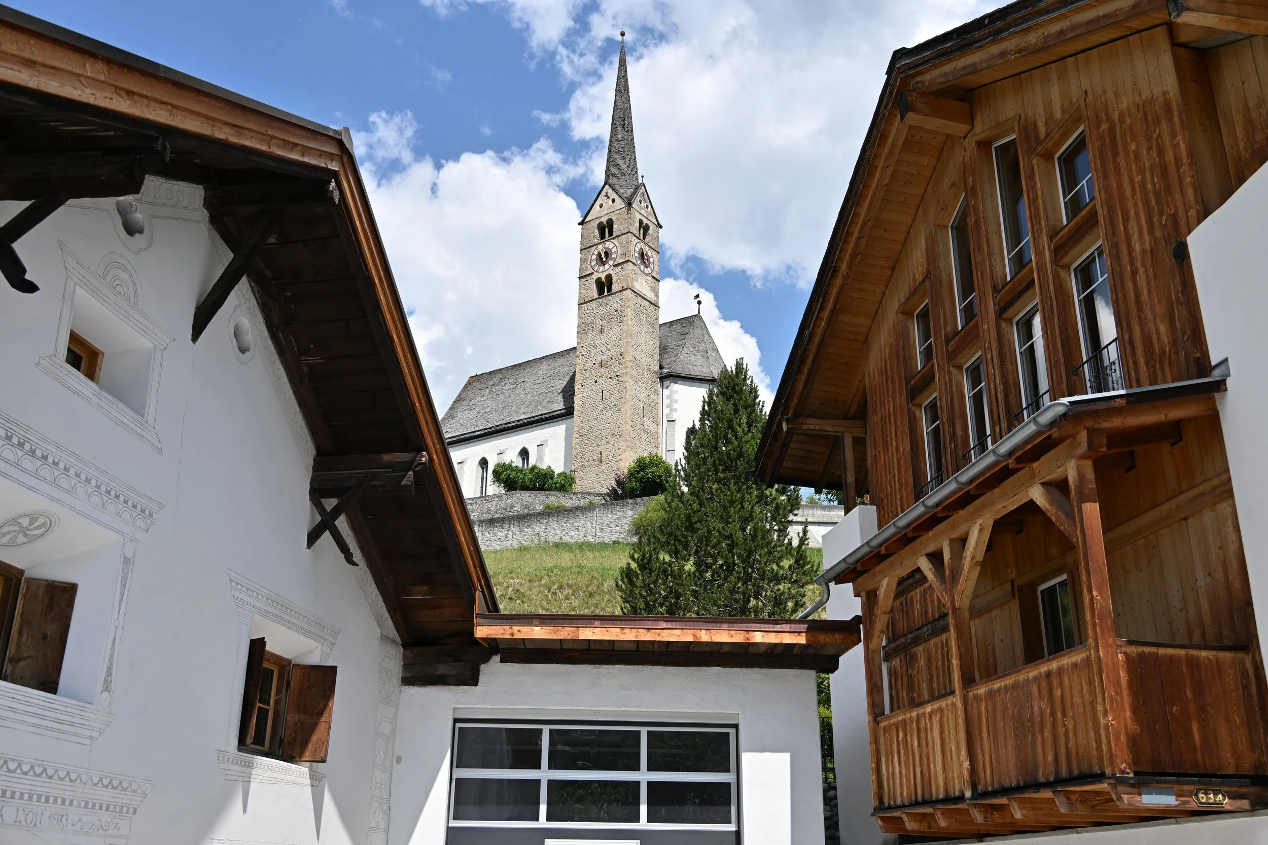
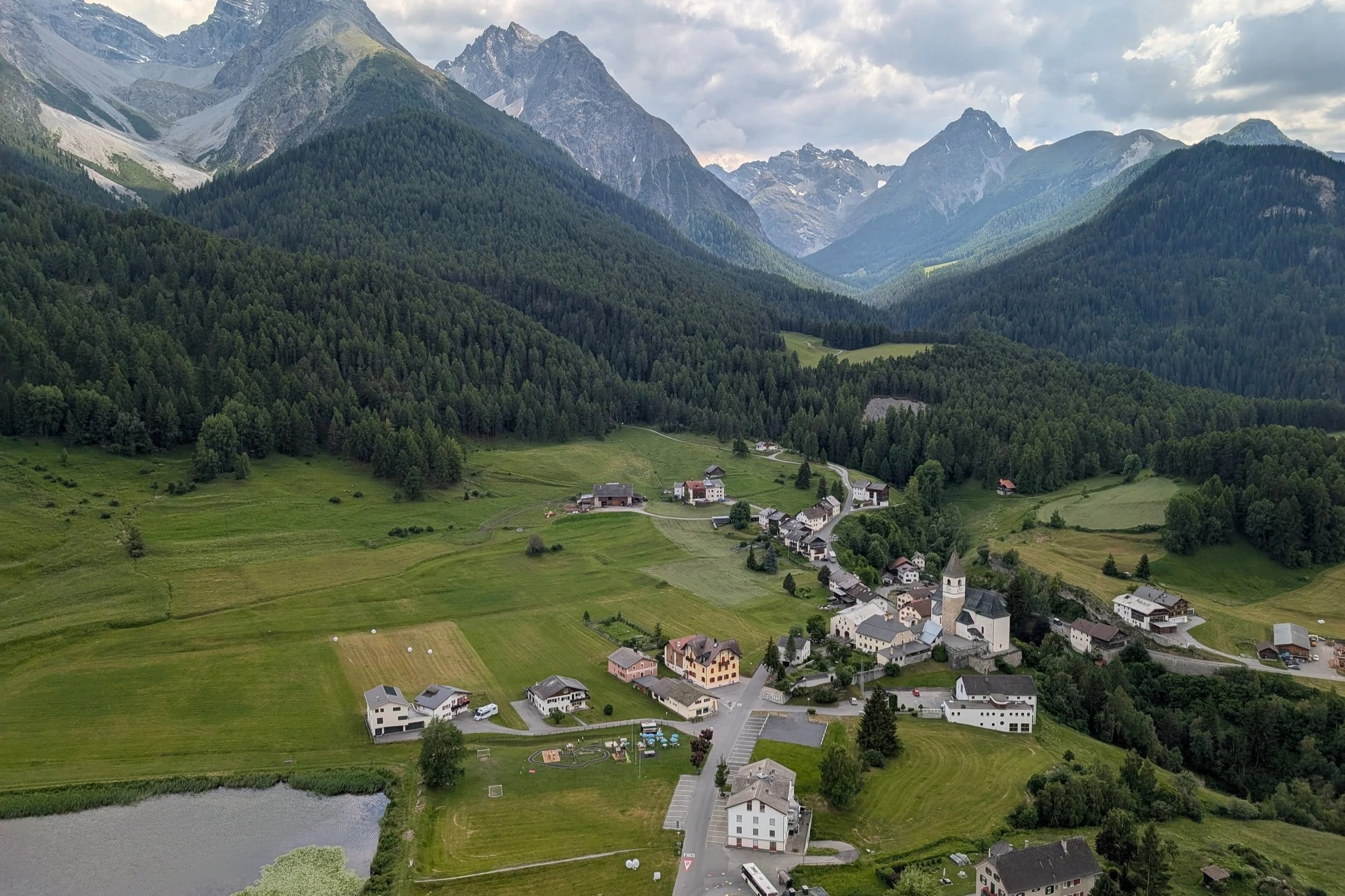
There was a church on a hill that was very picturesque, but quite bothersome to me. It chimed the quarter hour all night and day [and we needed to have our windows open for breezes during the heat wave].
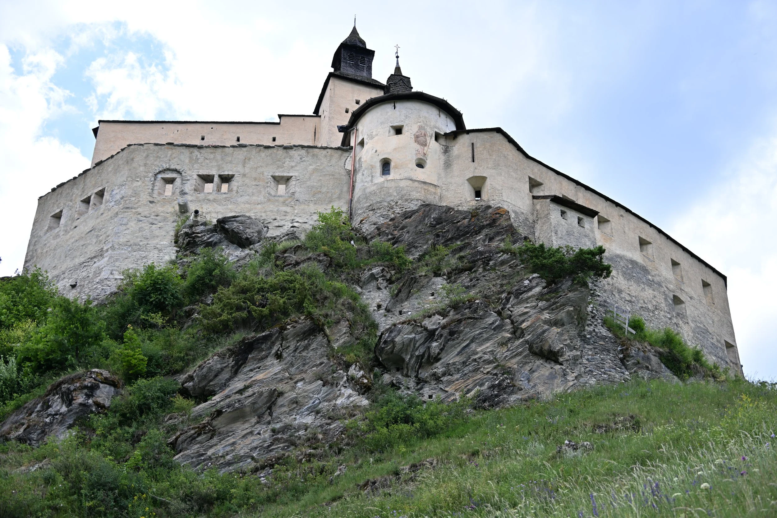
We did a little day trip to a nearby town, Tarasp, to tour a medieval castle built in 1040 -
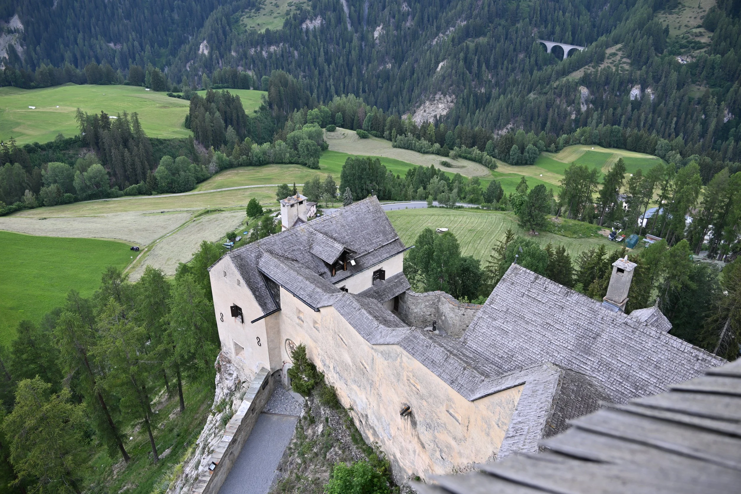
The interior was neat (we couldn’t take pictures) but the views from the top were awesome -

Back in Scuol (pronounced “shkool”), we wandered around in the evening admiring the light of the “golden hour”…

… and I decided the siting of the church was pretty great, even if it was noisy. :)