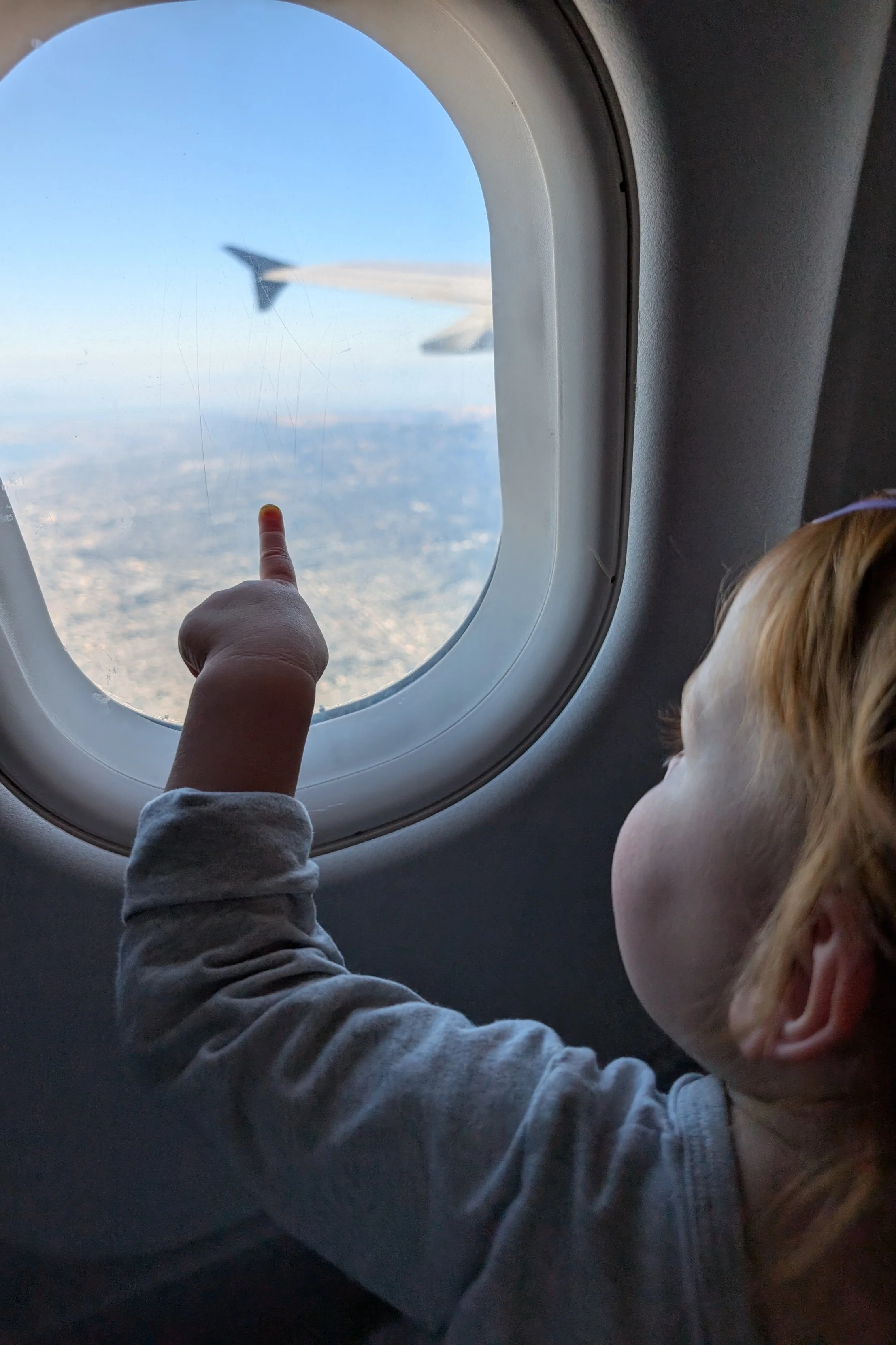
Cuyahoga Valley NP & Steve's Wrap-Up Notes
Cuyahoga Valley is the only National Park in Ohio, and this was a state we hadn’t officially visited yet, so we plotted our return to Nashville from NY via Ohio. There was an interesting hike here and a waterfall (singular, in both instances).
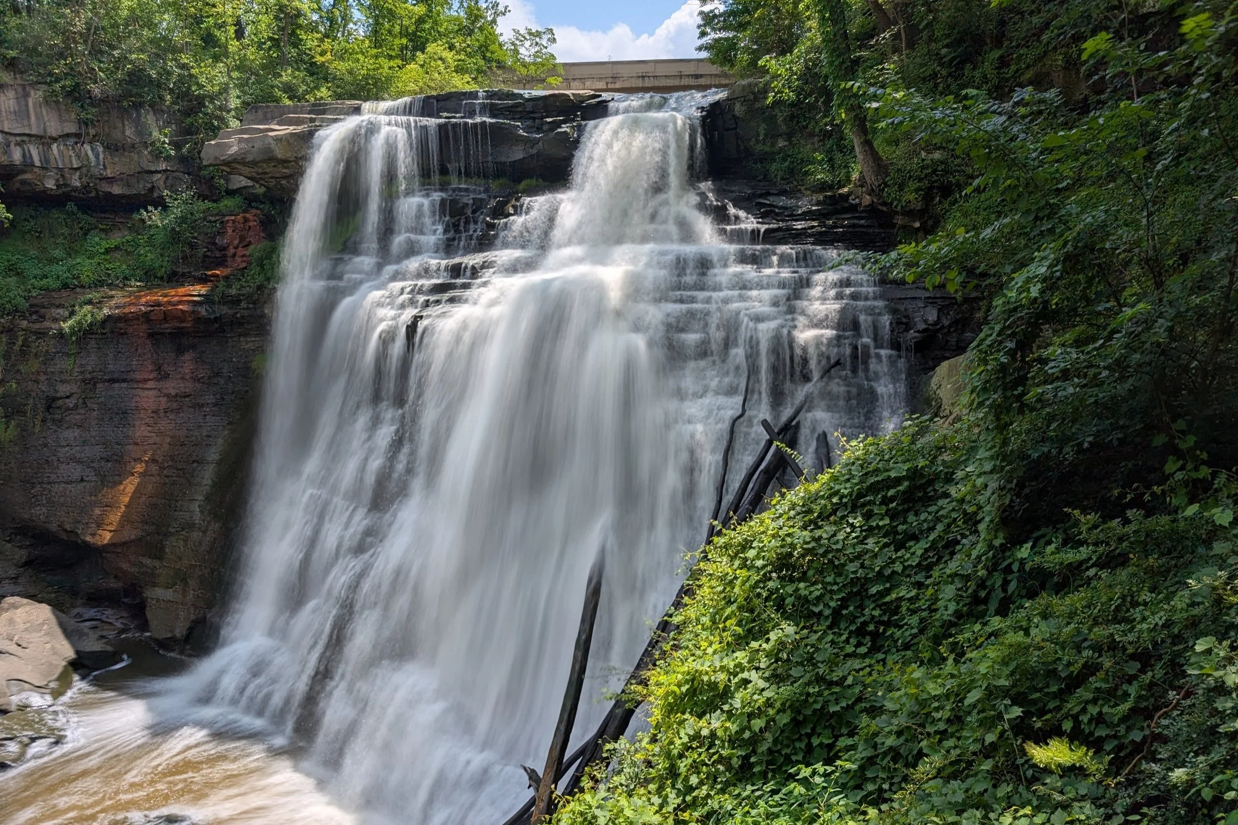
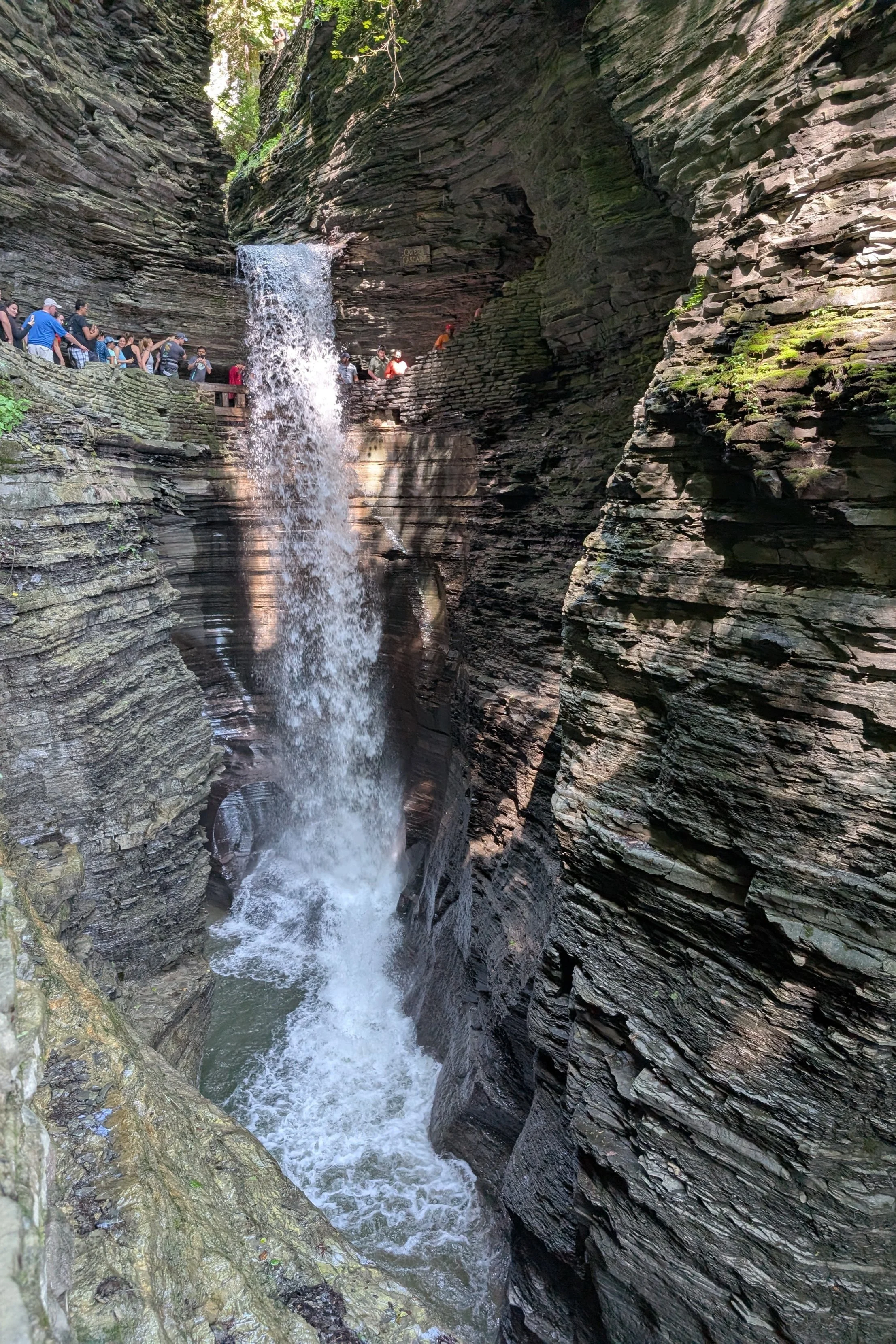
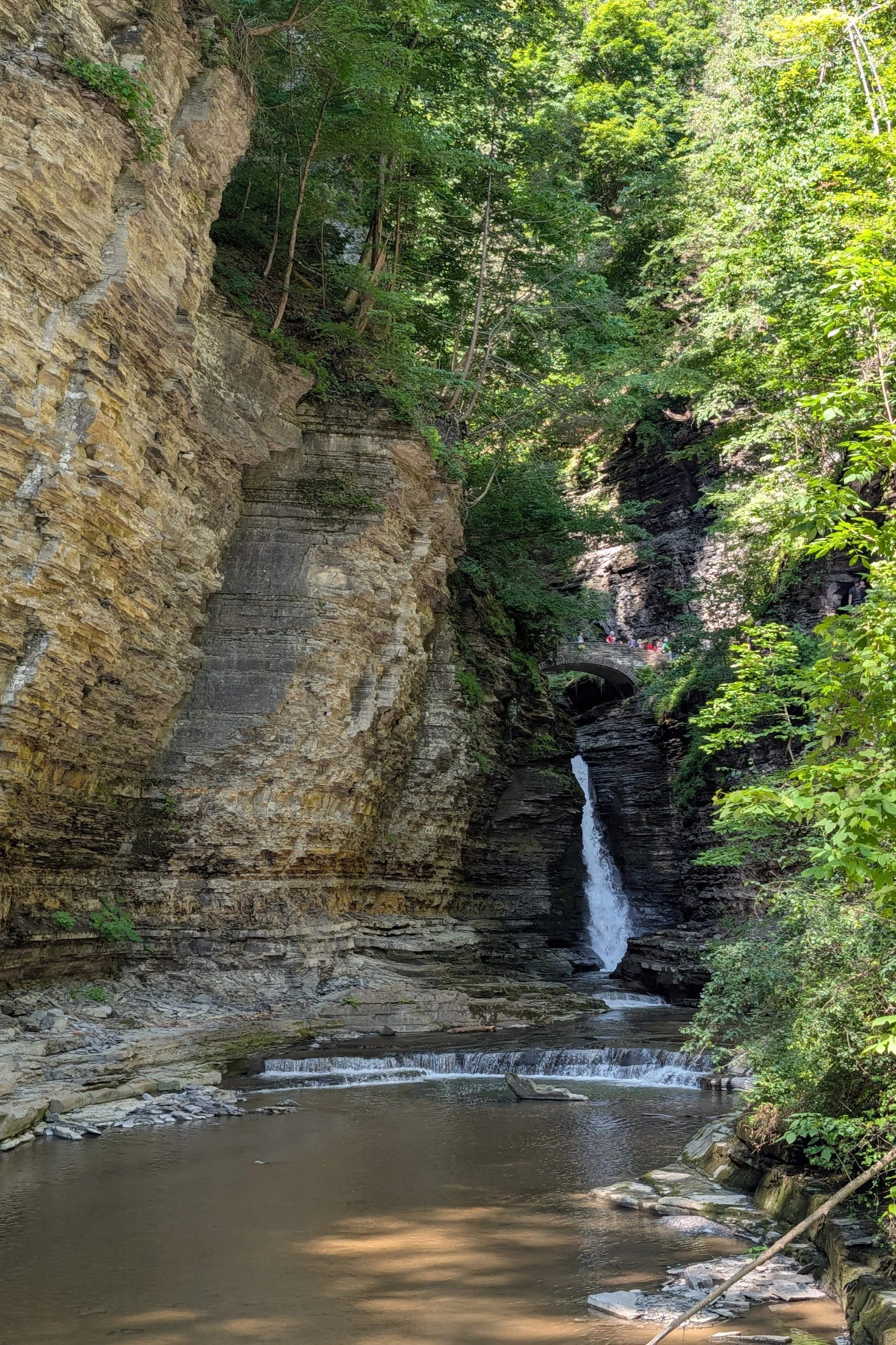
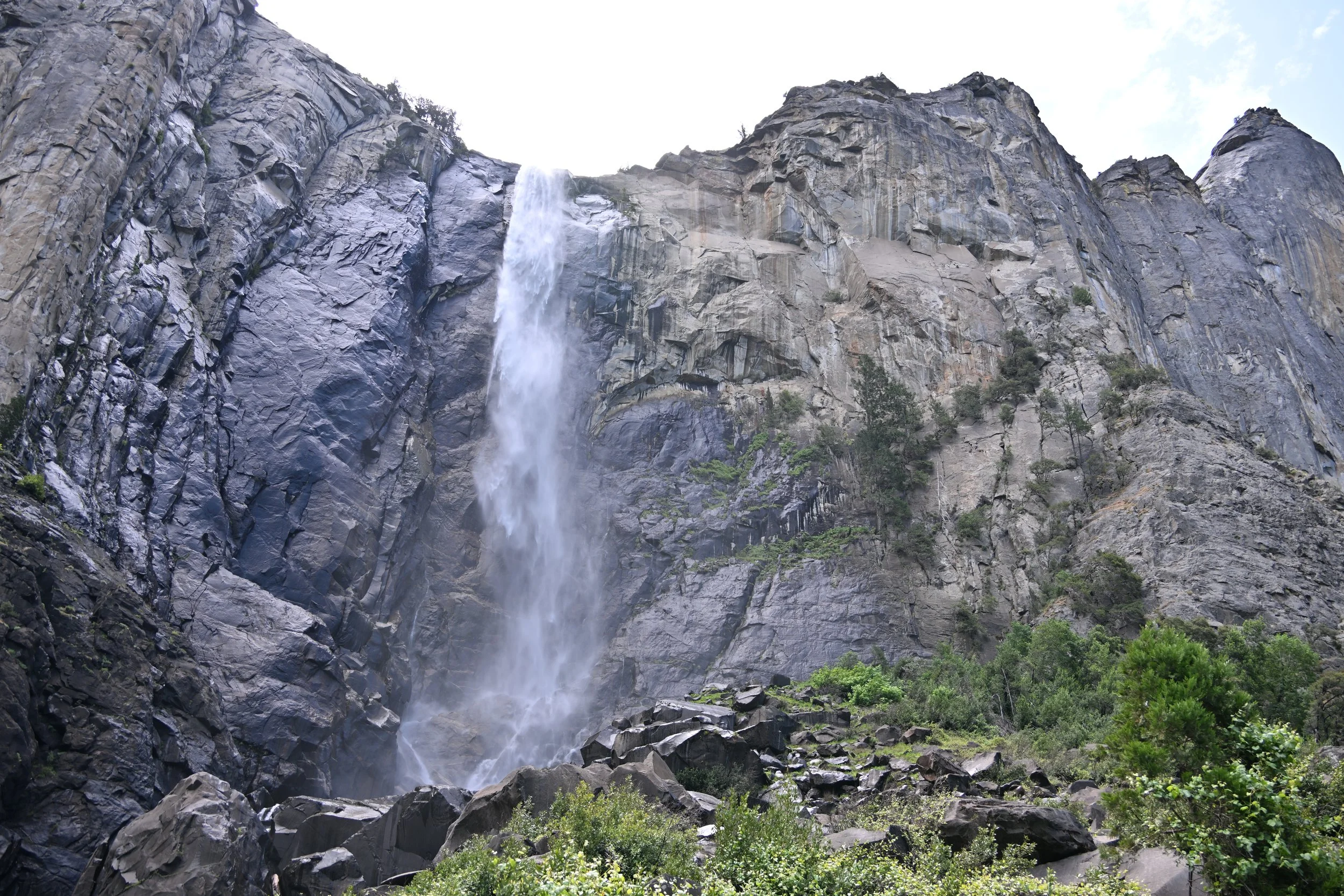
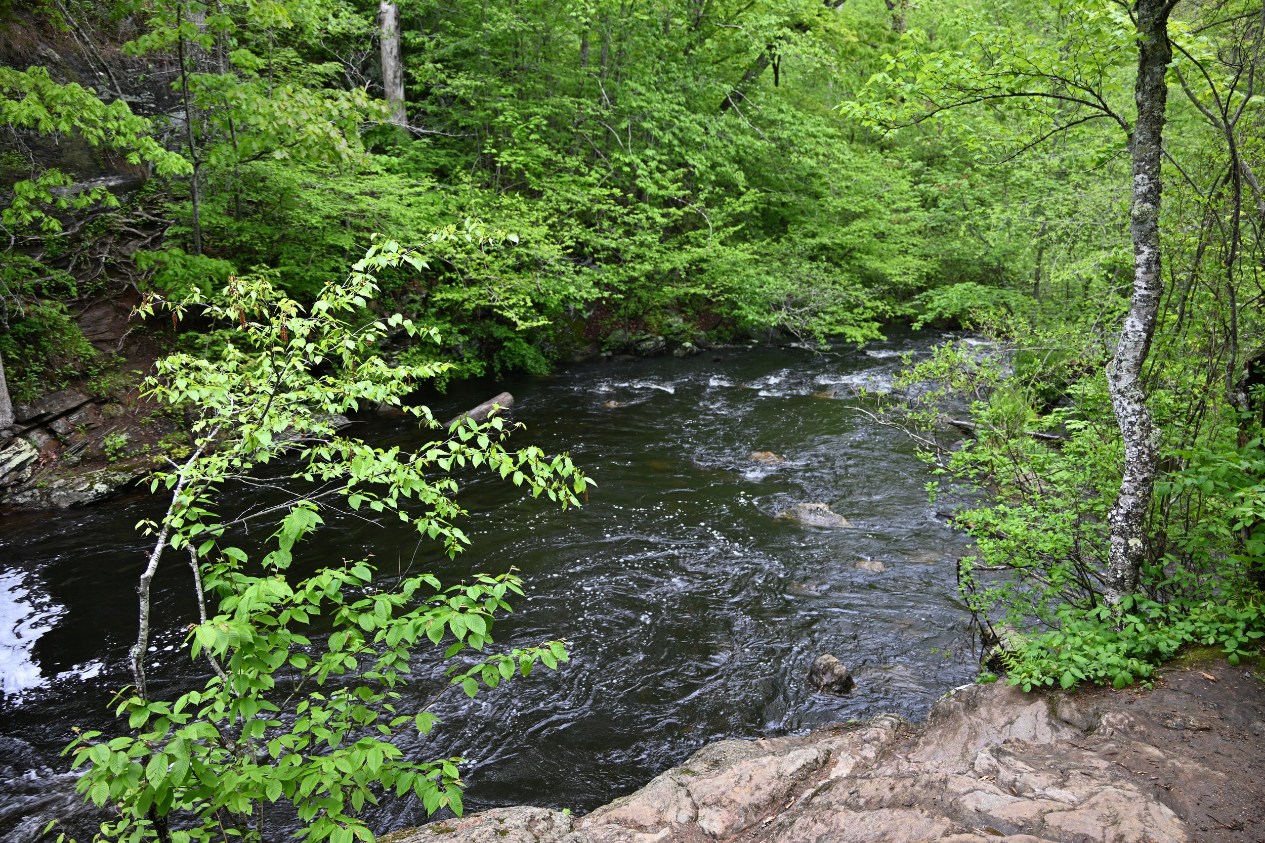
Brandywine Falls was nice enough. Compared to NY waterfalls, there was at least a decent amount of water to make it nicely full.
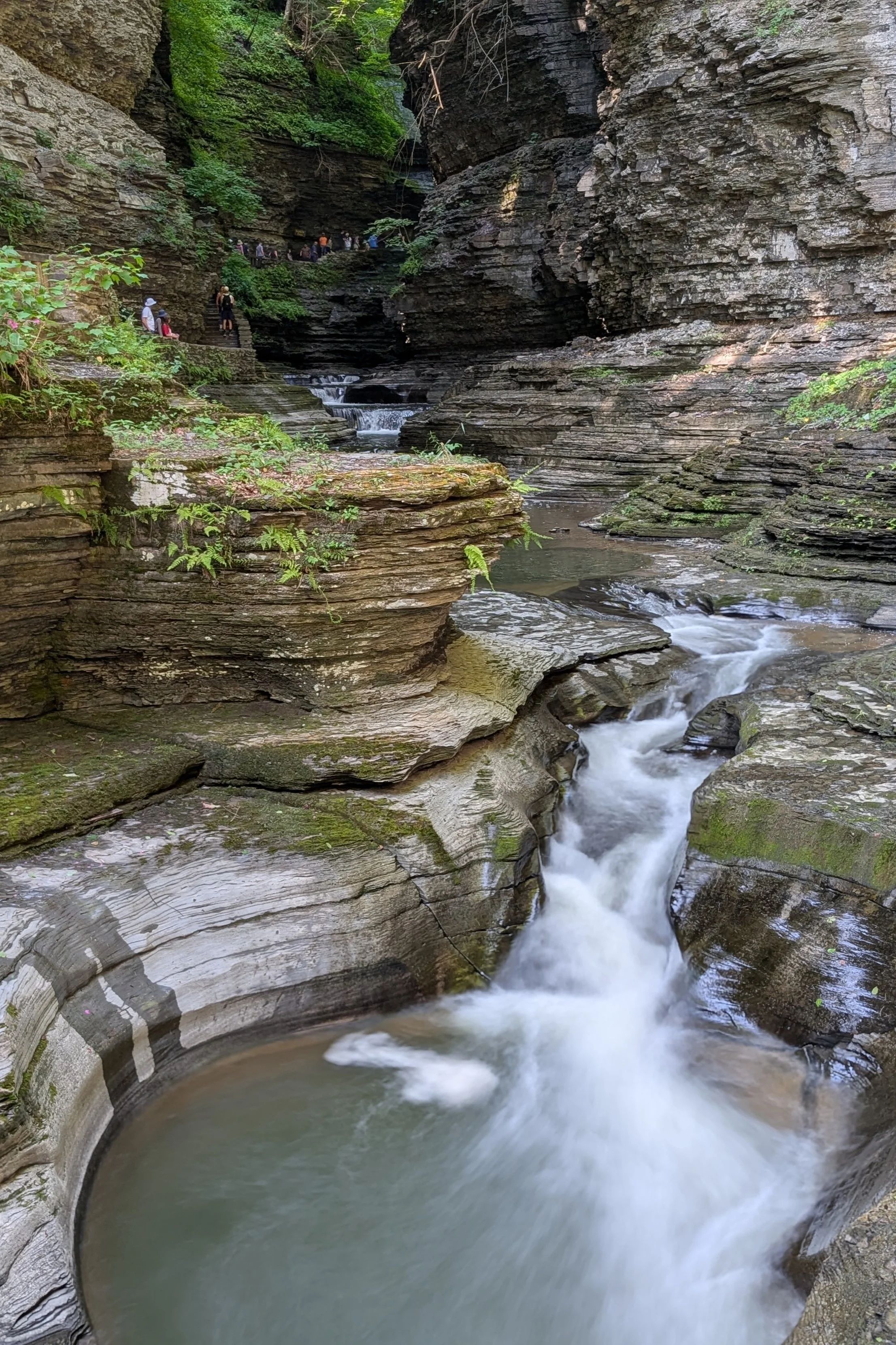
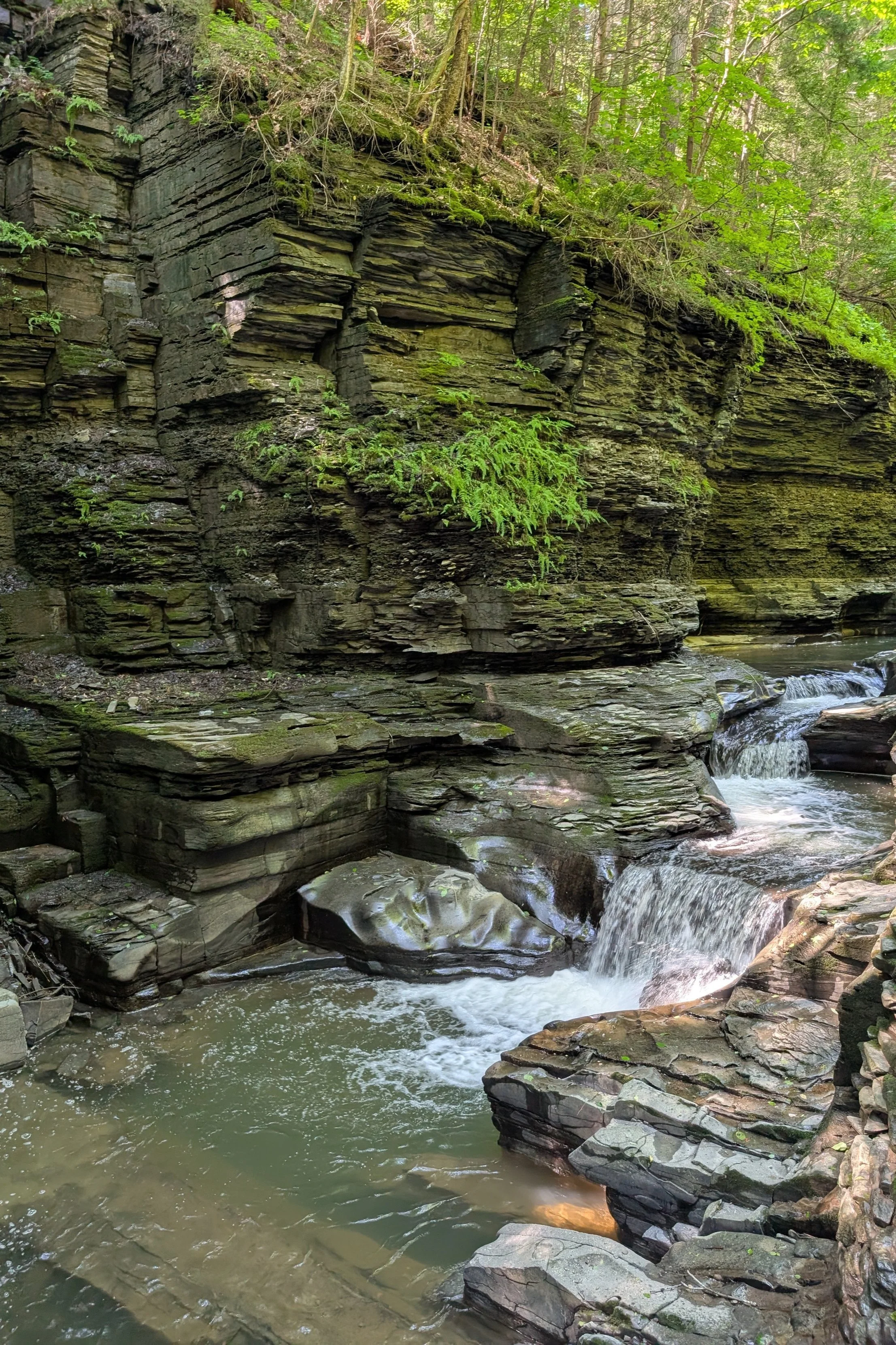
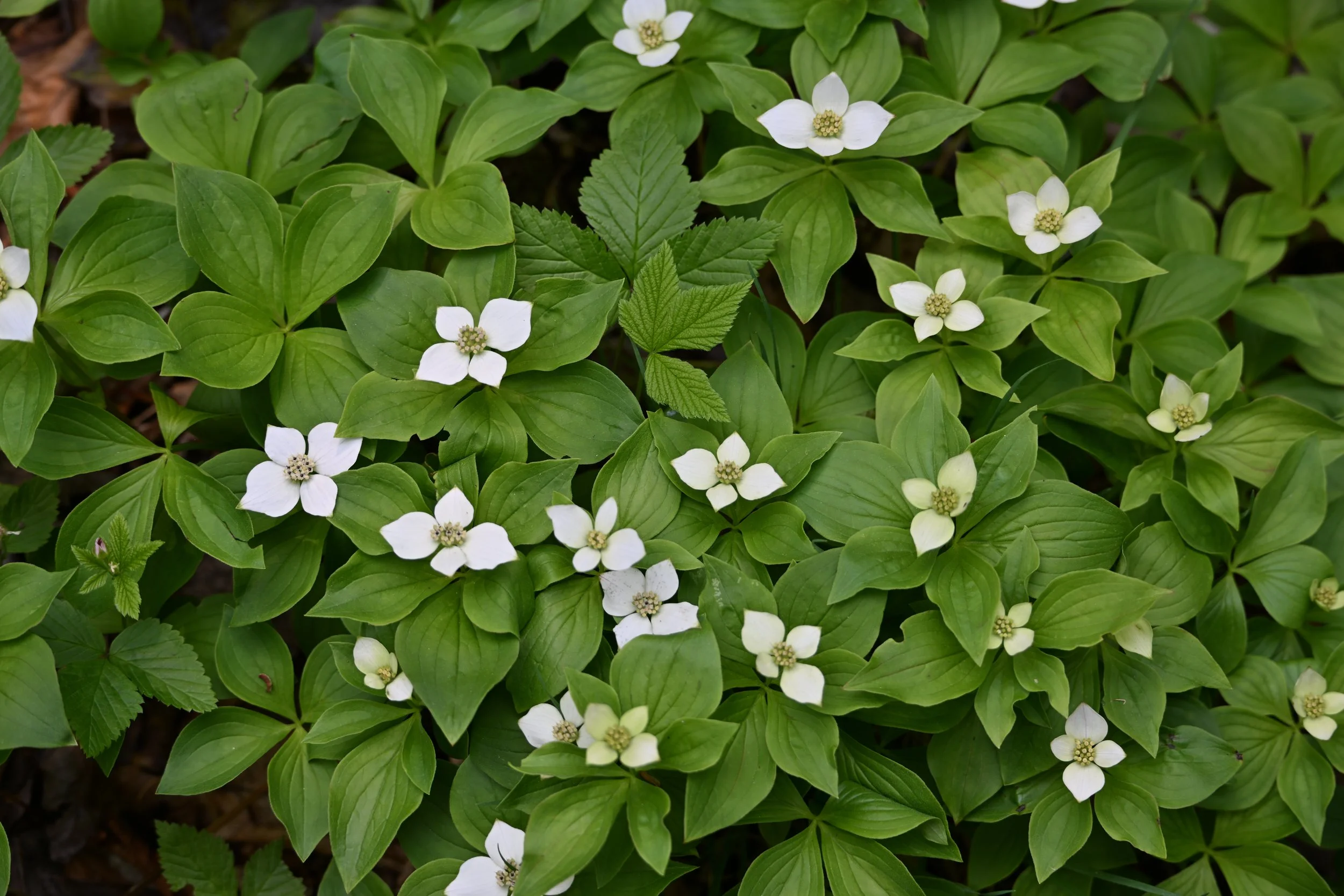
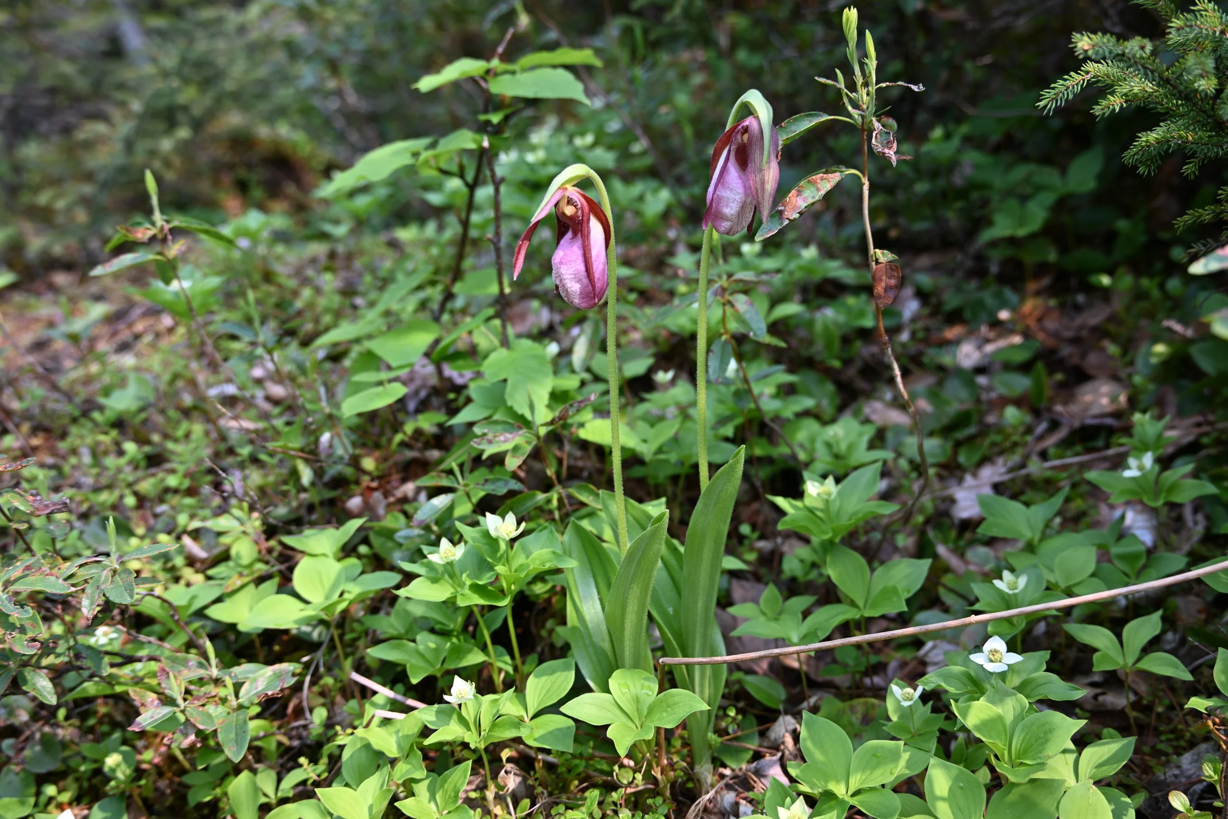
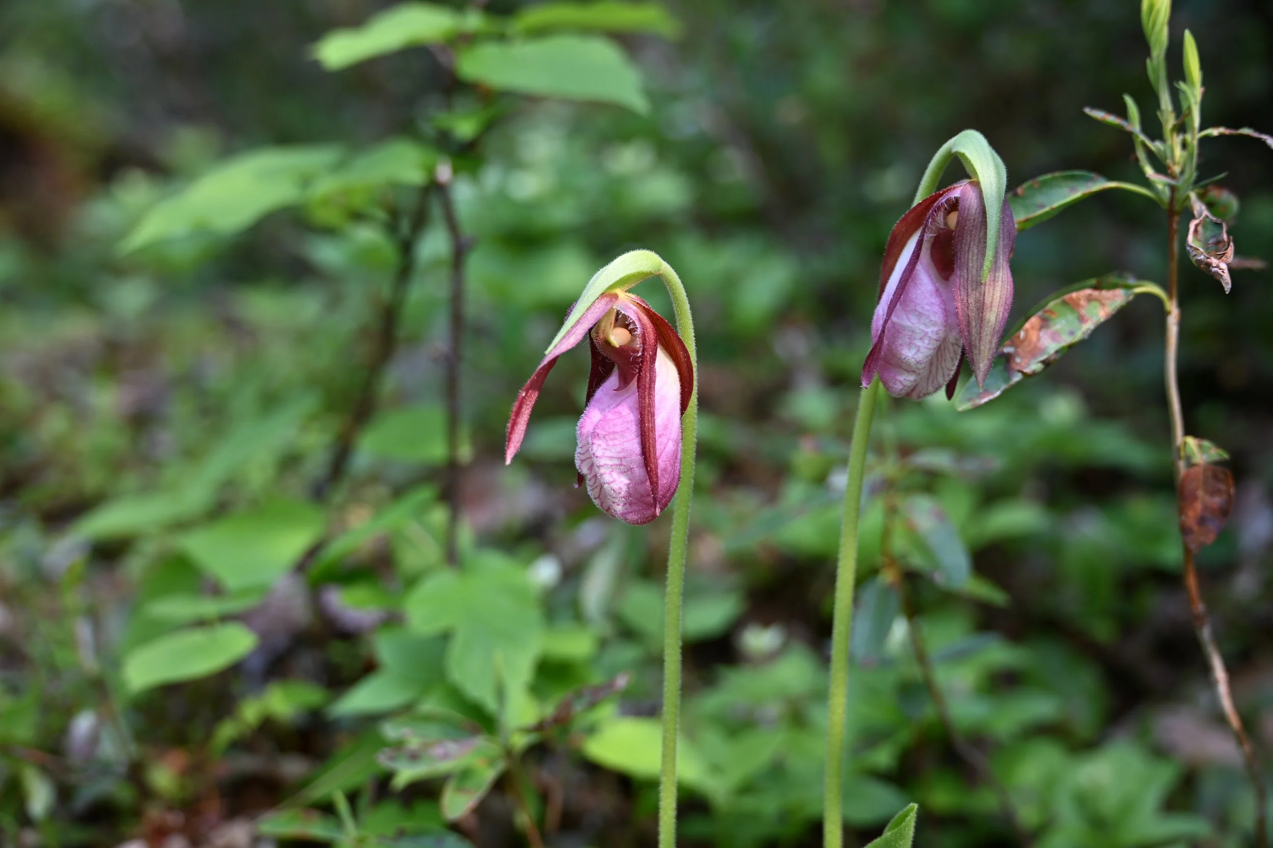
The hike was called The Ledges, and that was quite apropos -
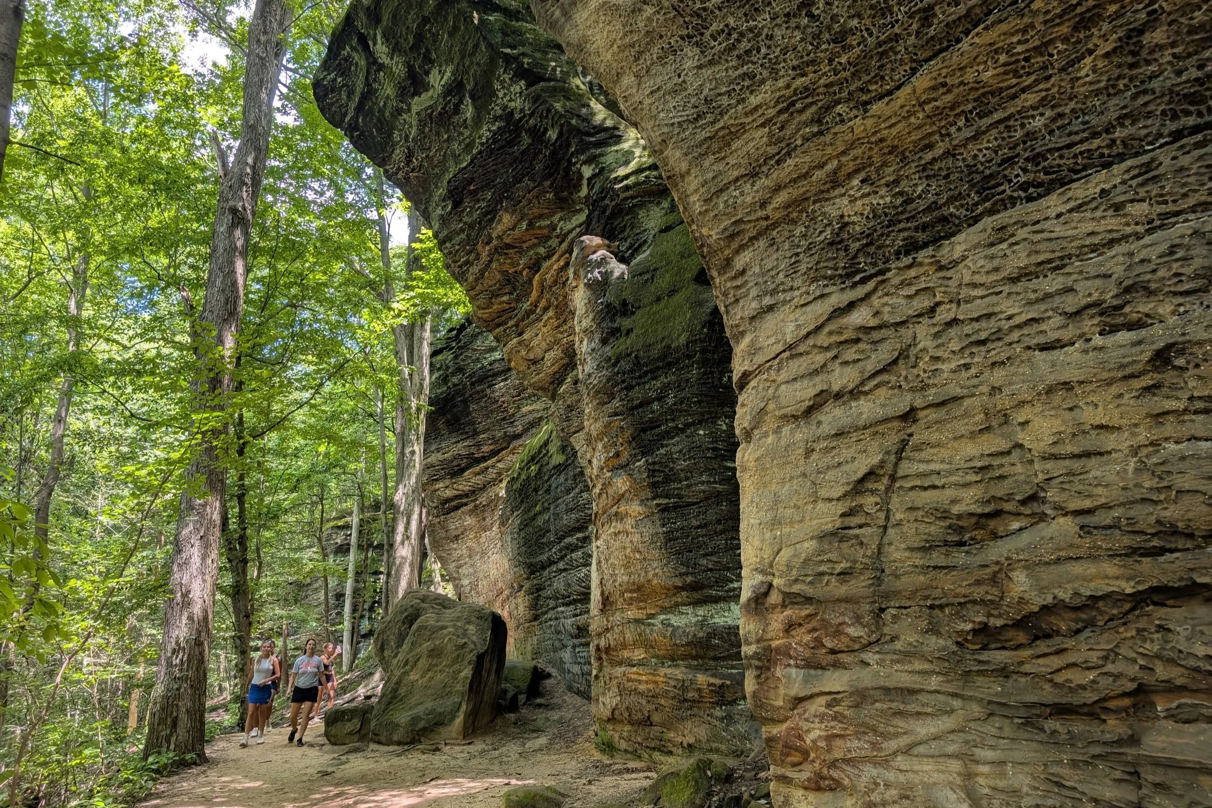
Even though we were deep into summer, the trail was very shaded, so it wasn’t onerous to hike the 2 mile loop at all.
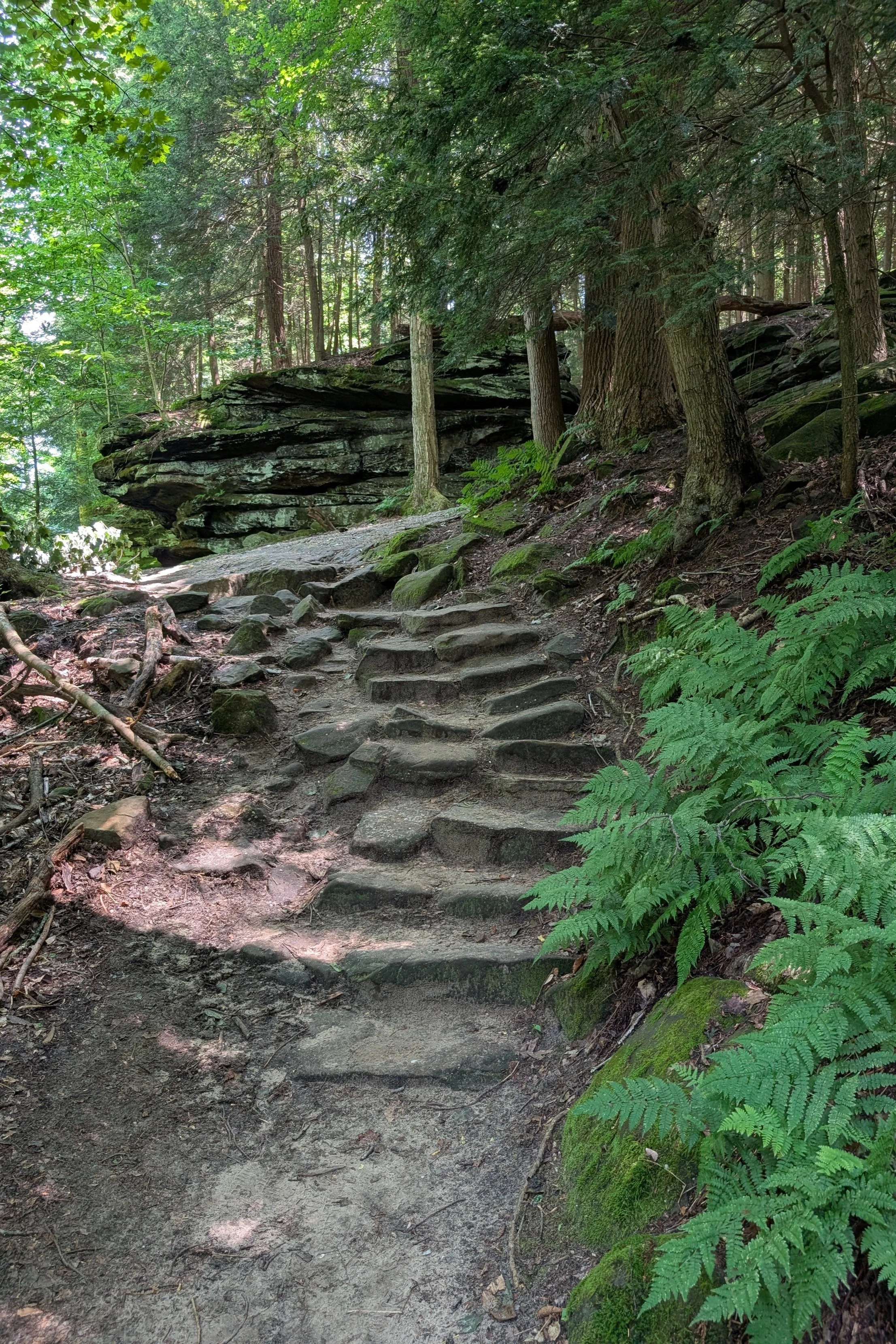
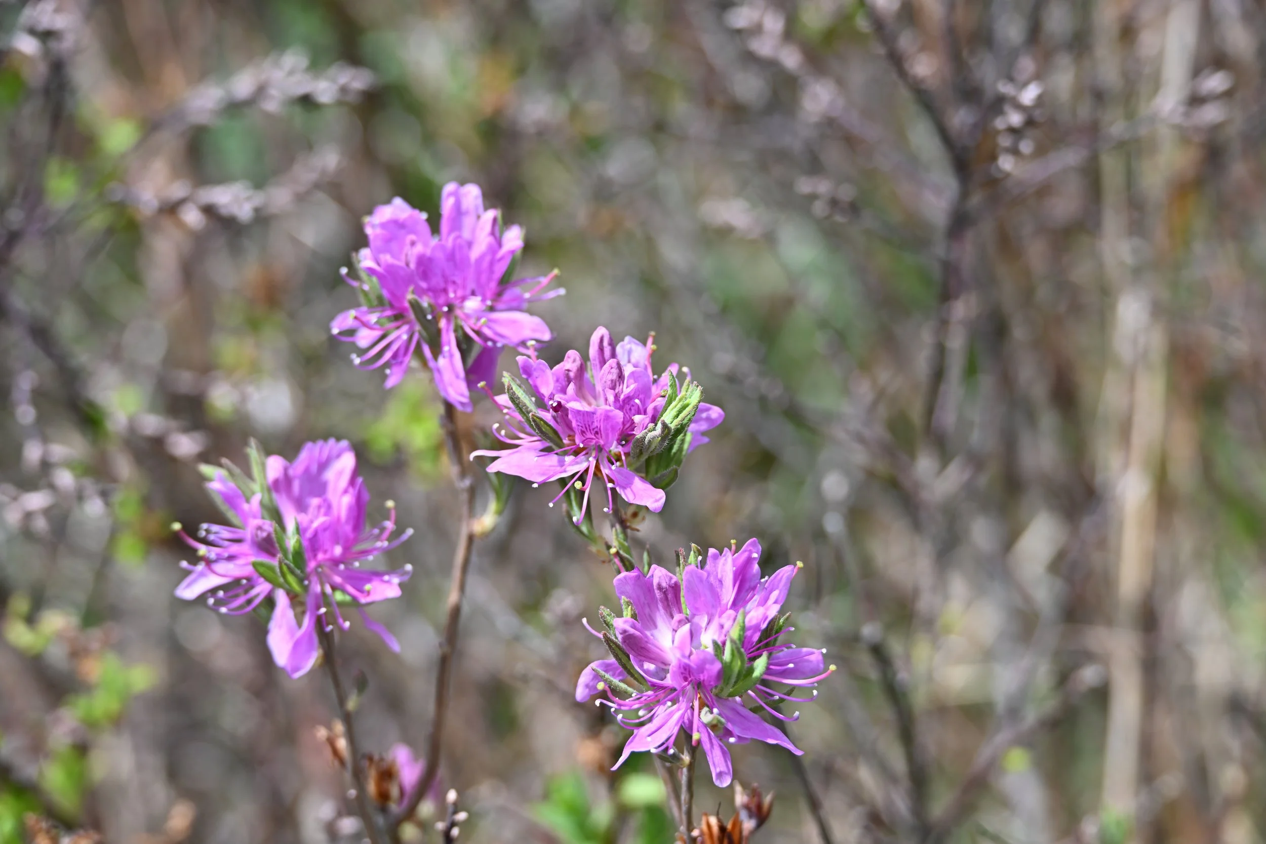
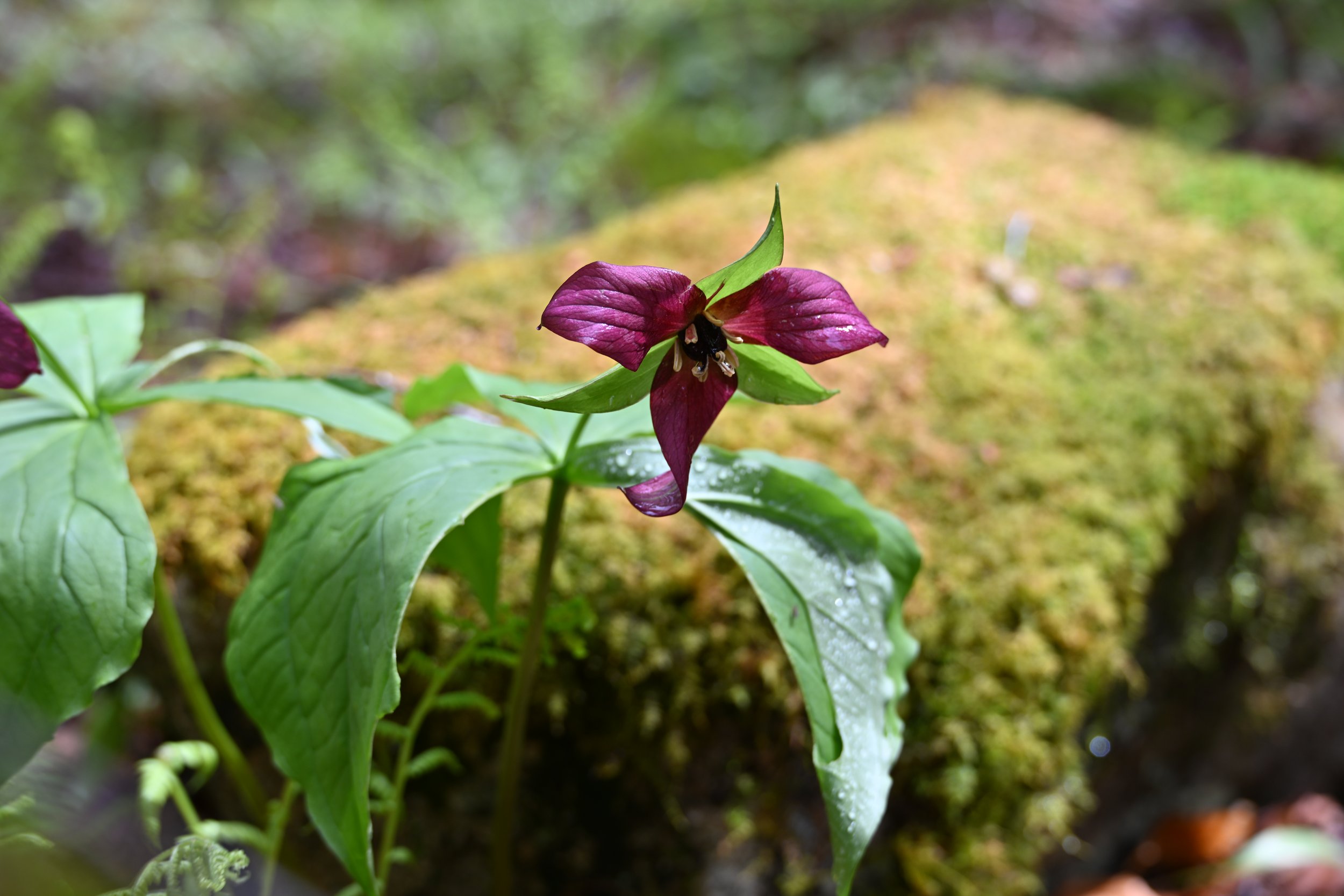
It was gorgeously green…
… and peaceful…

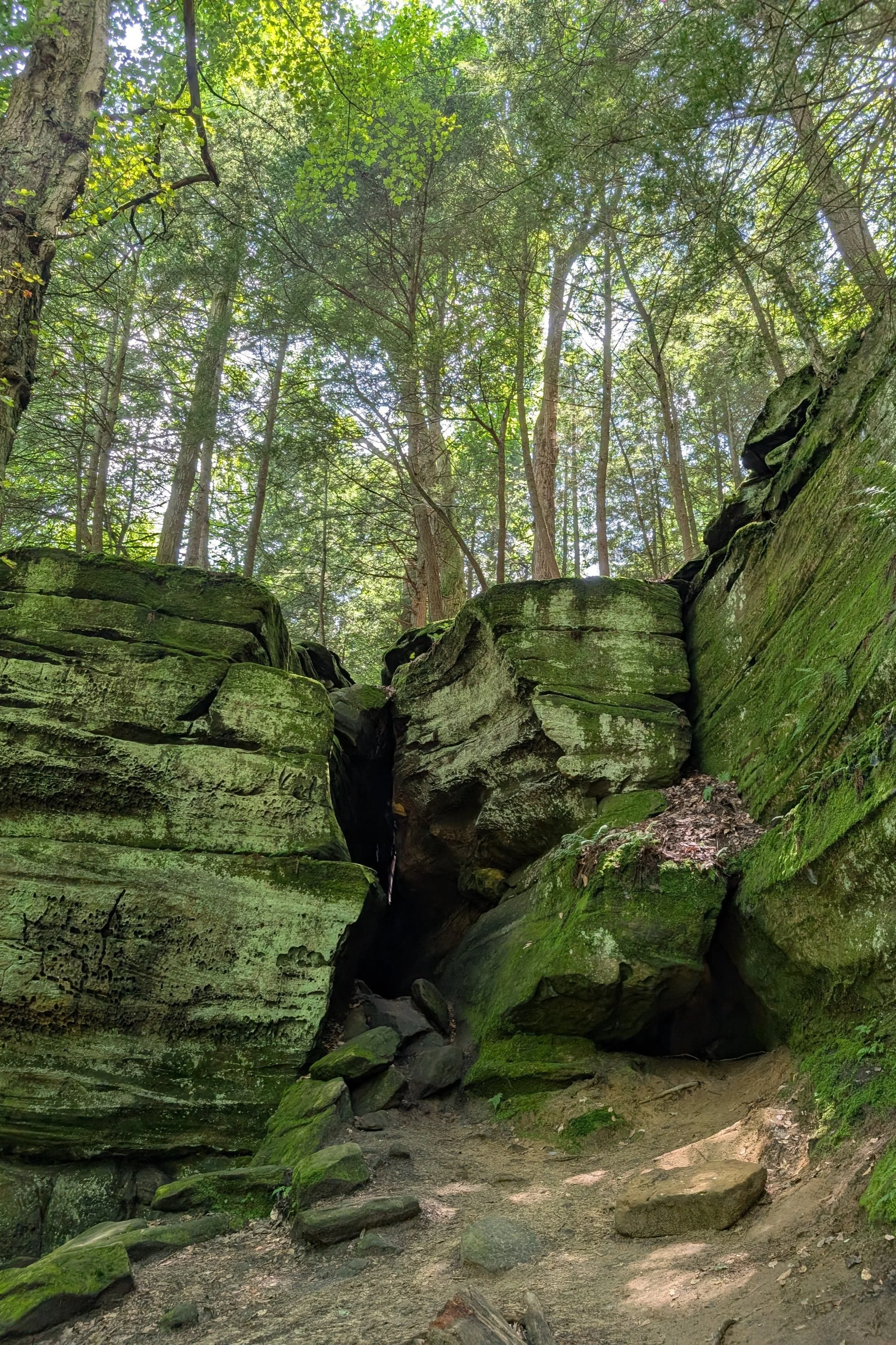
… and with neat erosions -

Steve is going to offer a summary and his notes on our epic road trip in the second half of this post. Suffice it to say that we visited 7 new states for us - bringing our total of US states explored to 46 - as well as 6 new Canadian provinces. We’ve also visited 48 US National Parks, out of a total of 63 (currently). Other stats for us… since retirement 8 years ago now (!), we have set foot on all 7 continents and, so far, have explored 54 countries (including “protectorates” like French Polynesia, Aruba, and the Cayman Islands).
Steve Enters the Conversation:
As always, we saw some interesting signs on this trip. This one apparently means that they don’t want anyone doing this hike!

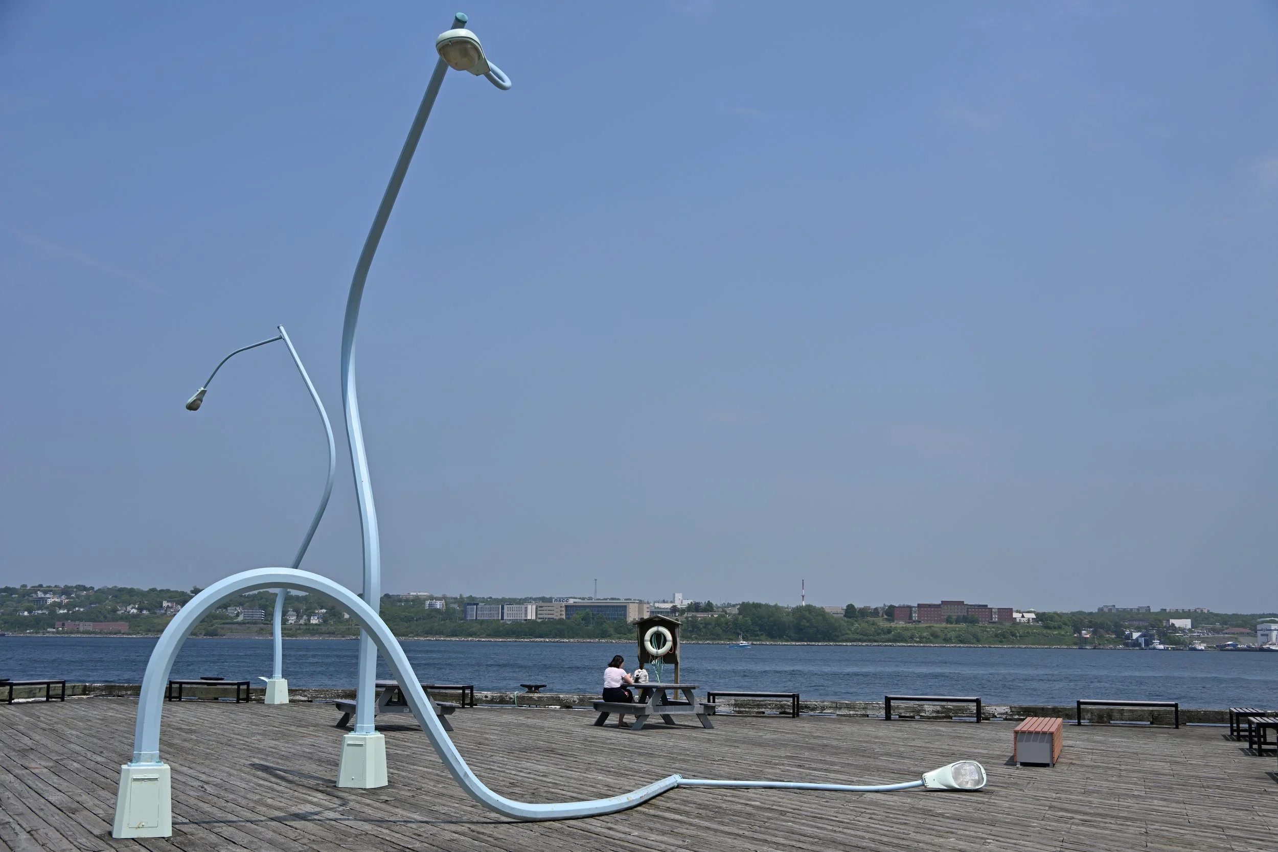
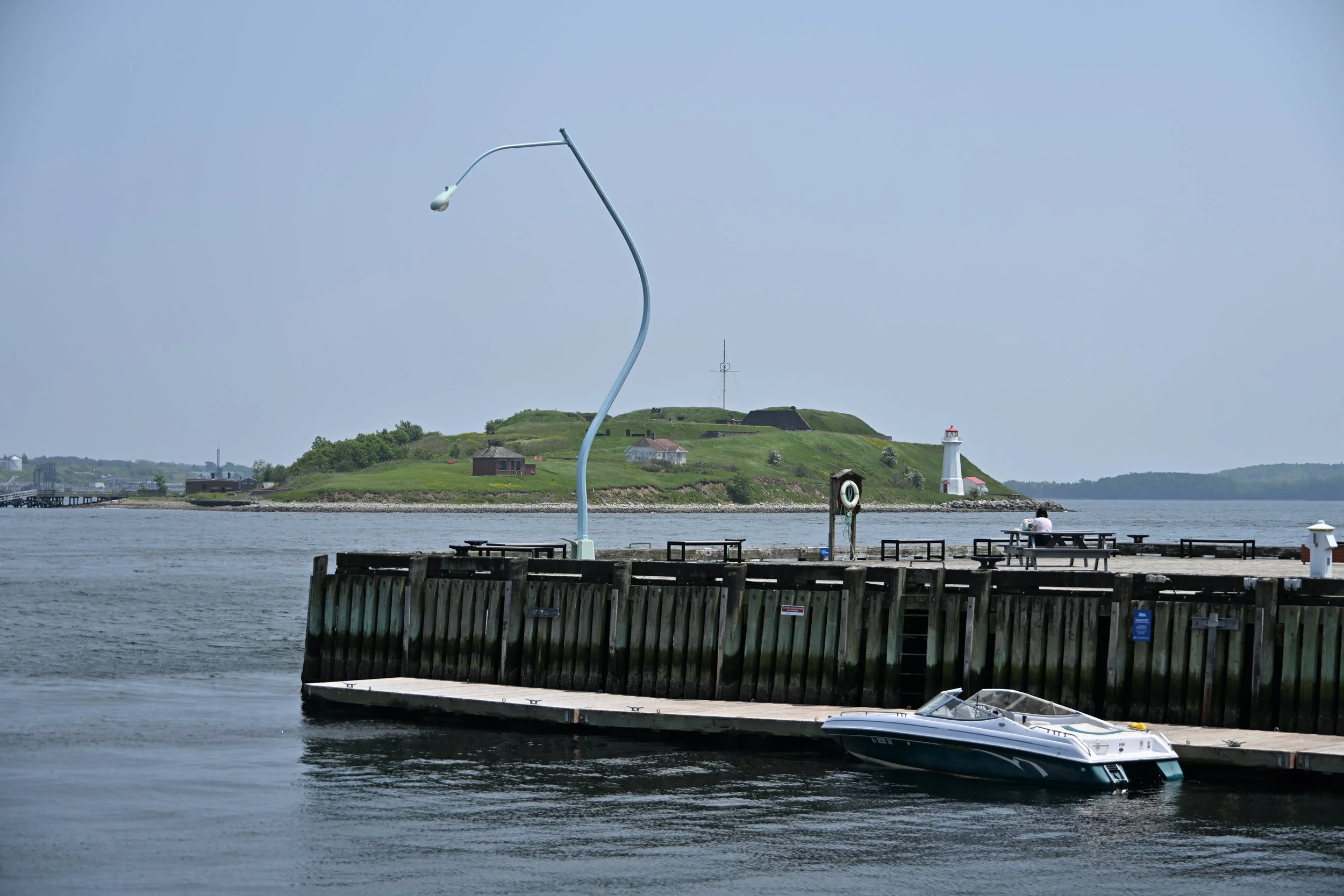
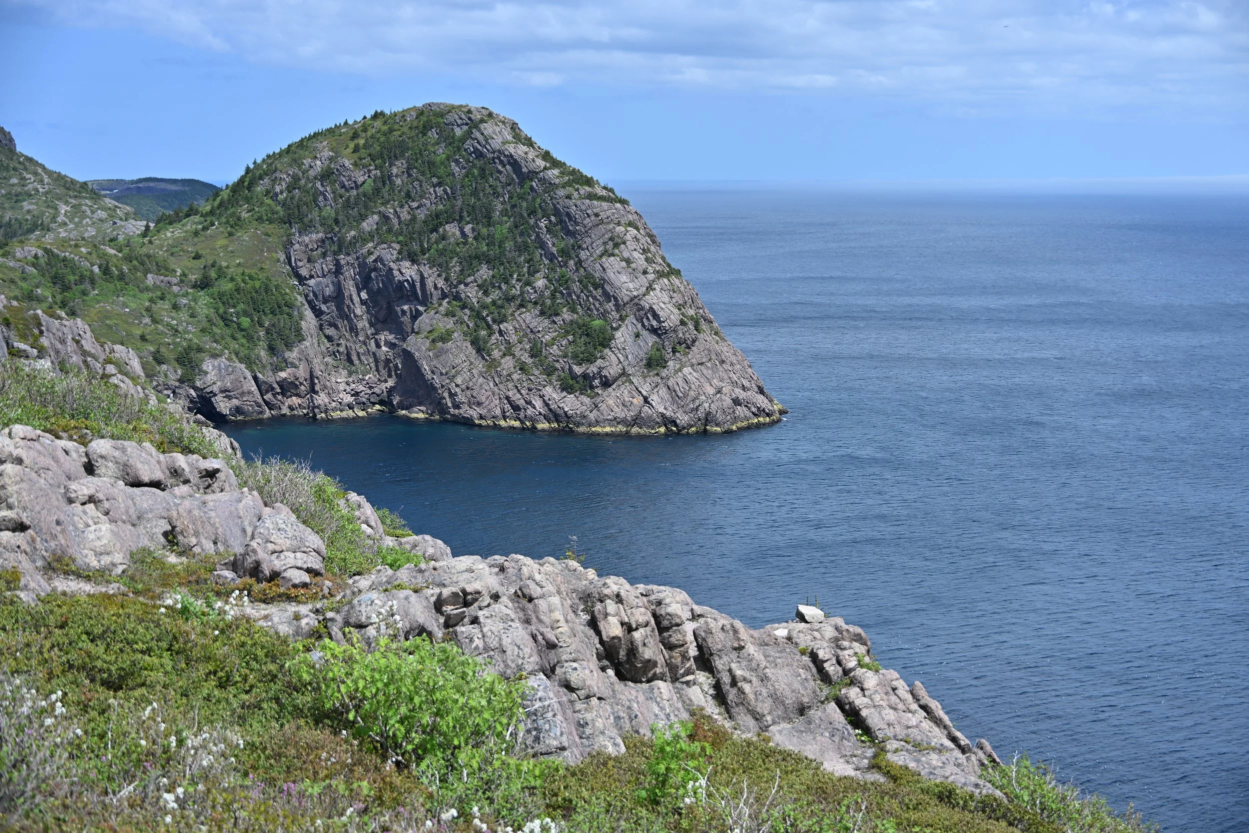
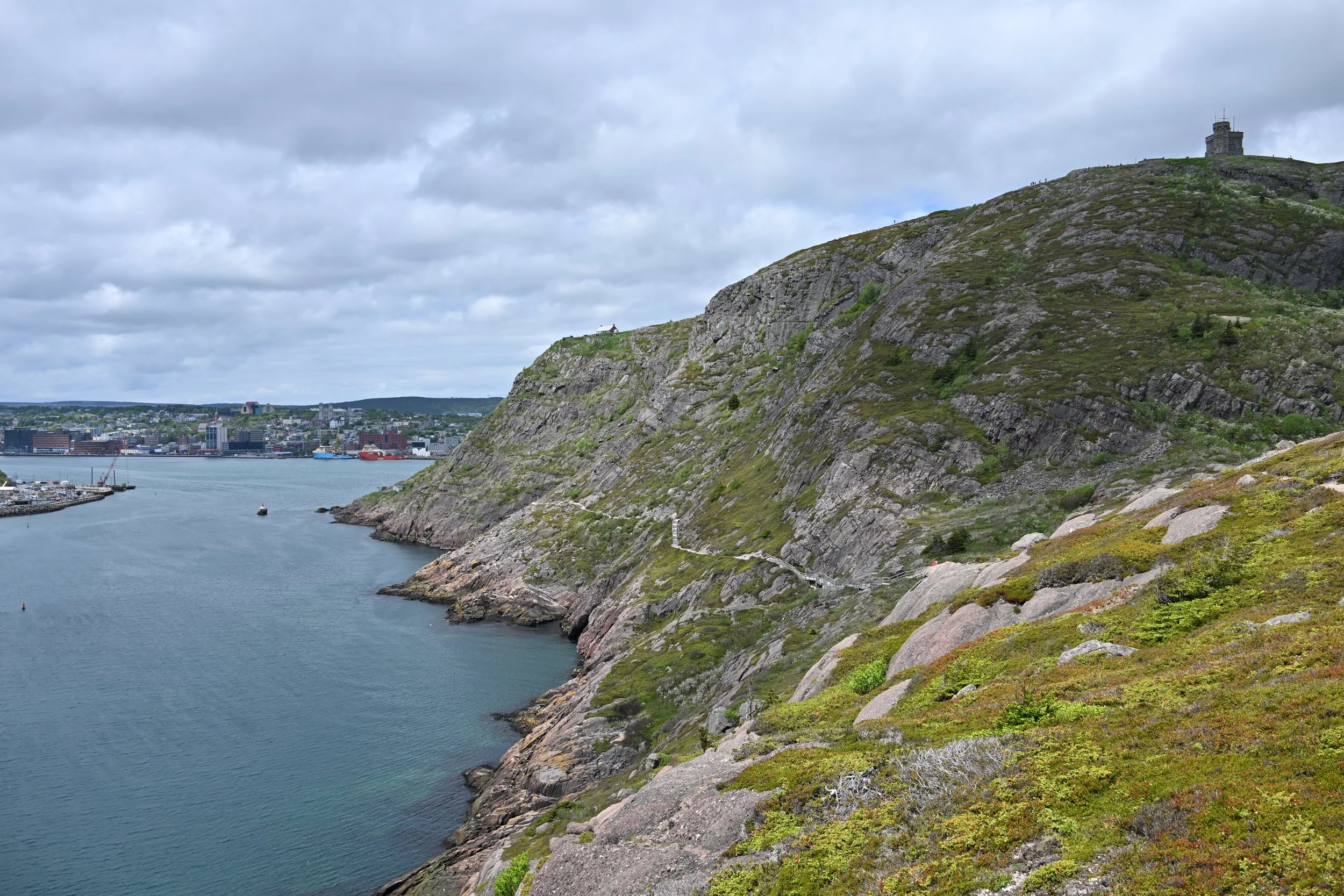
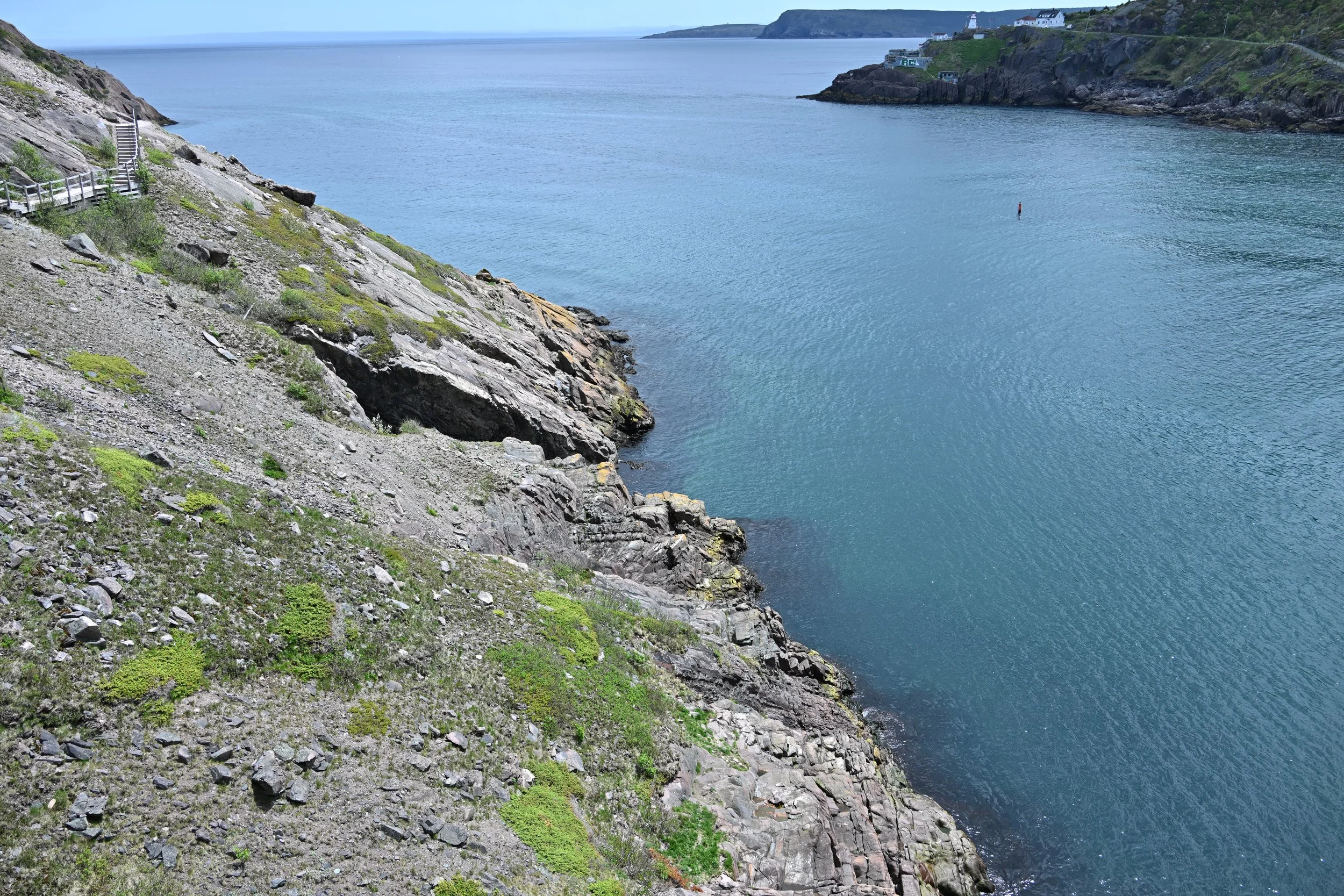
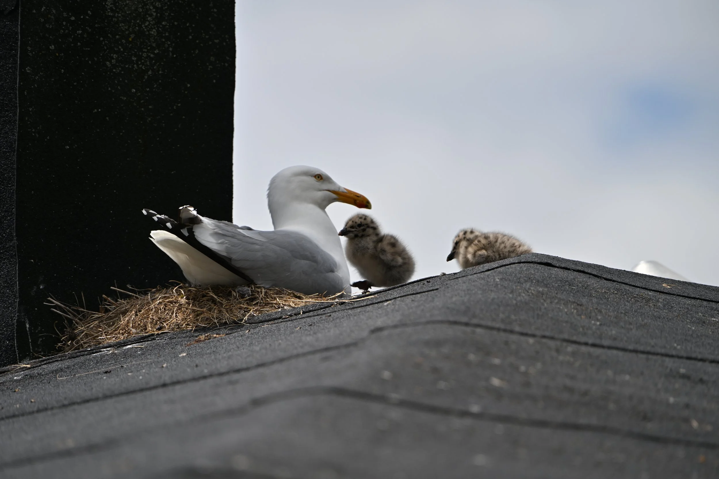
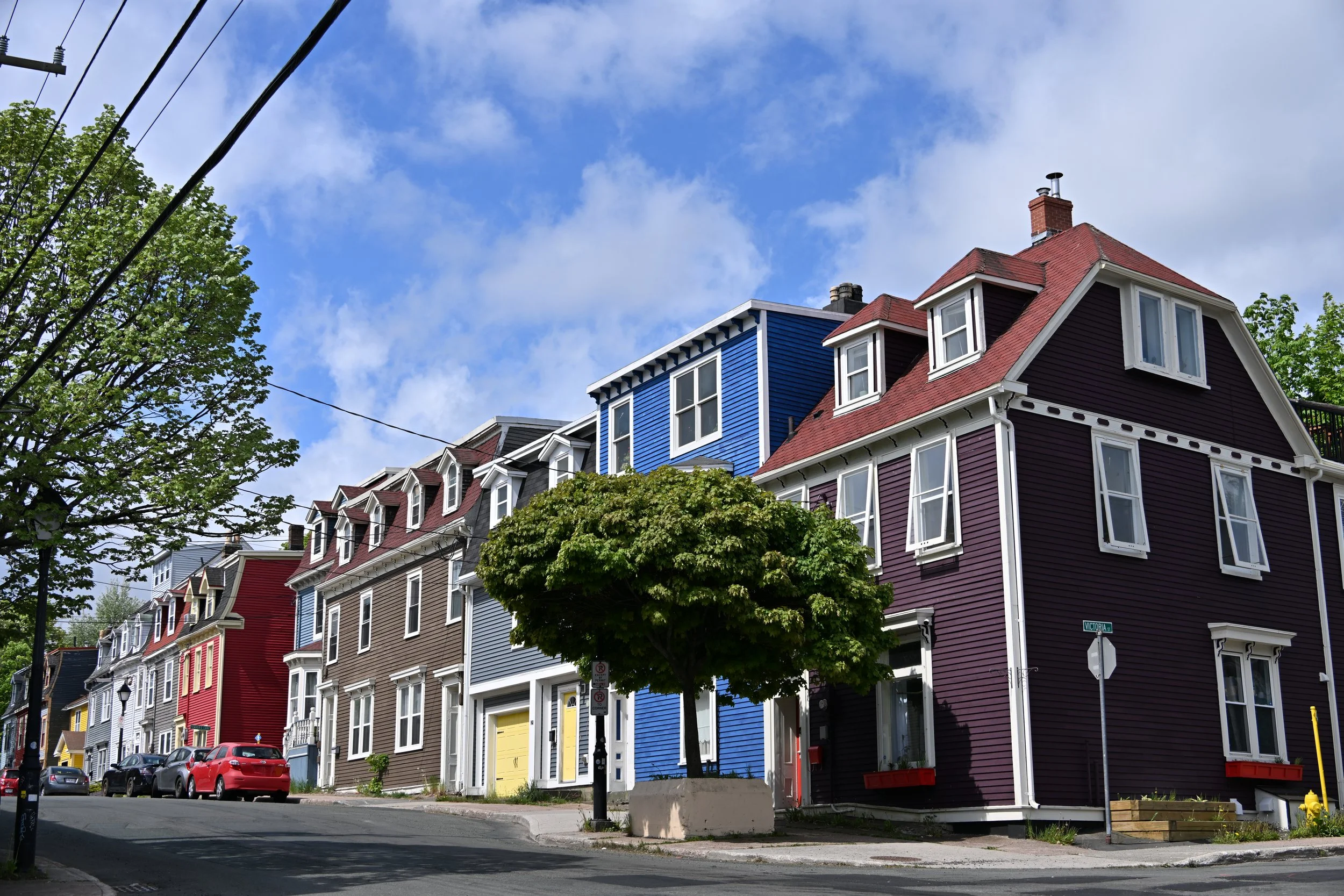
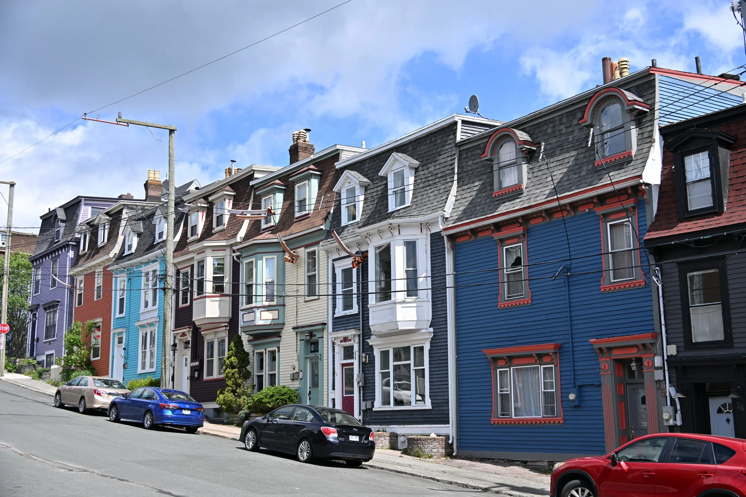
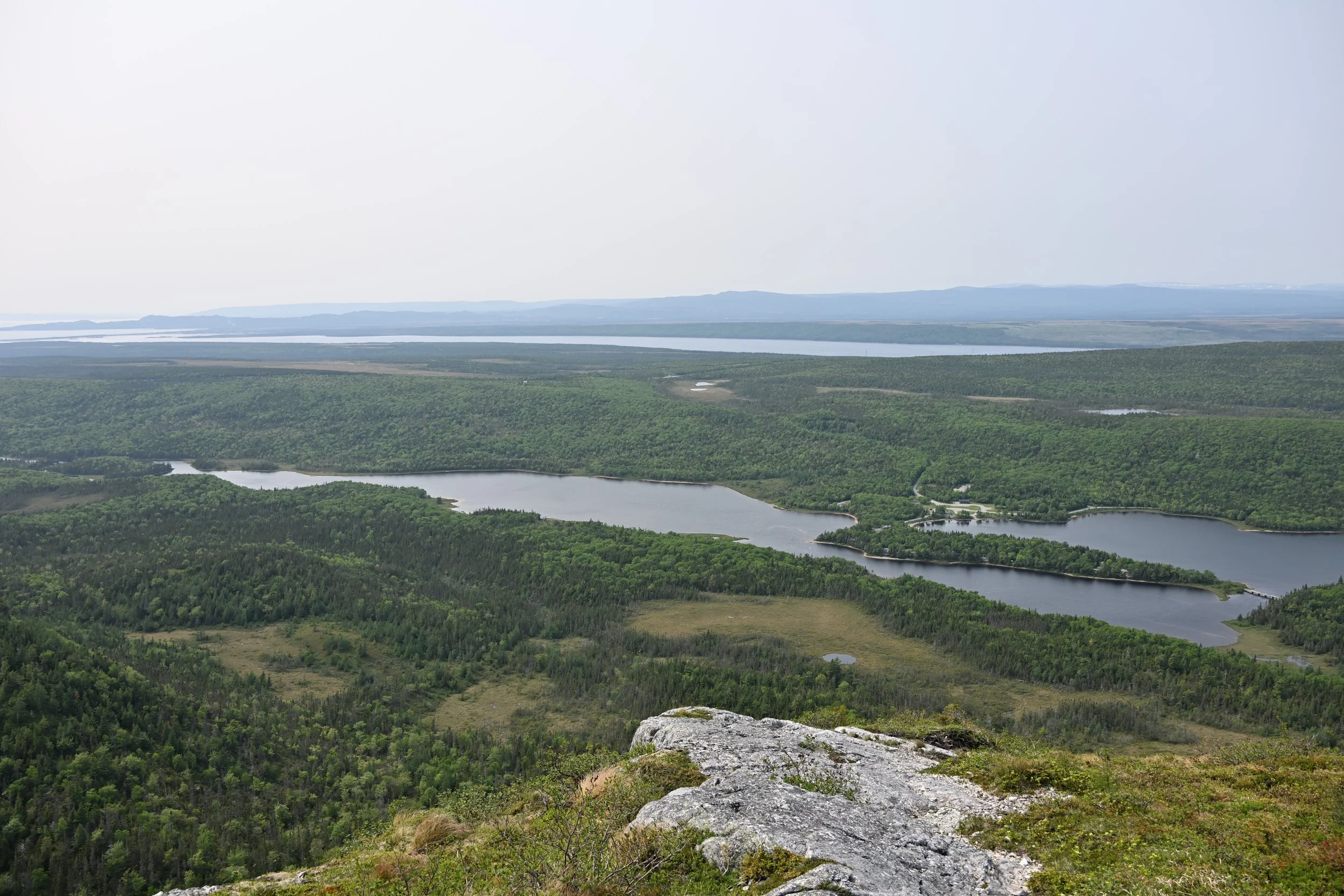
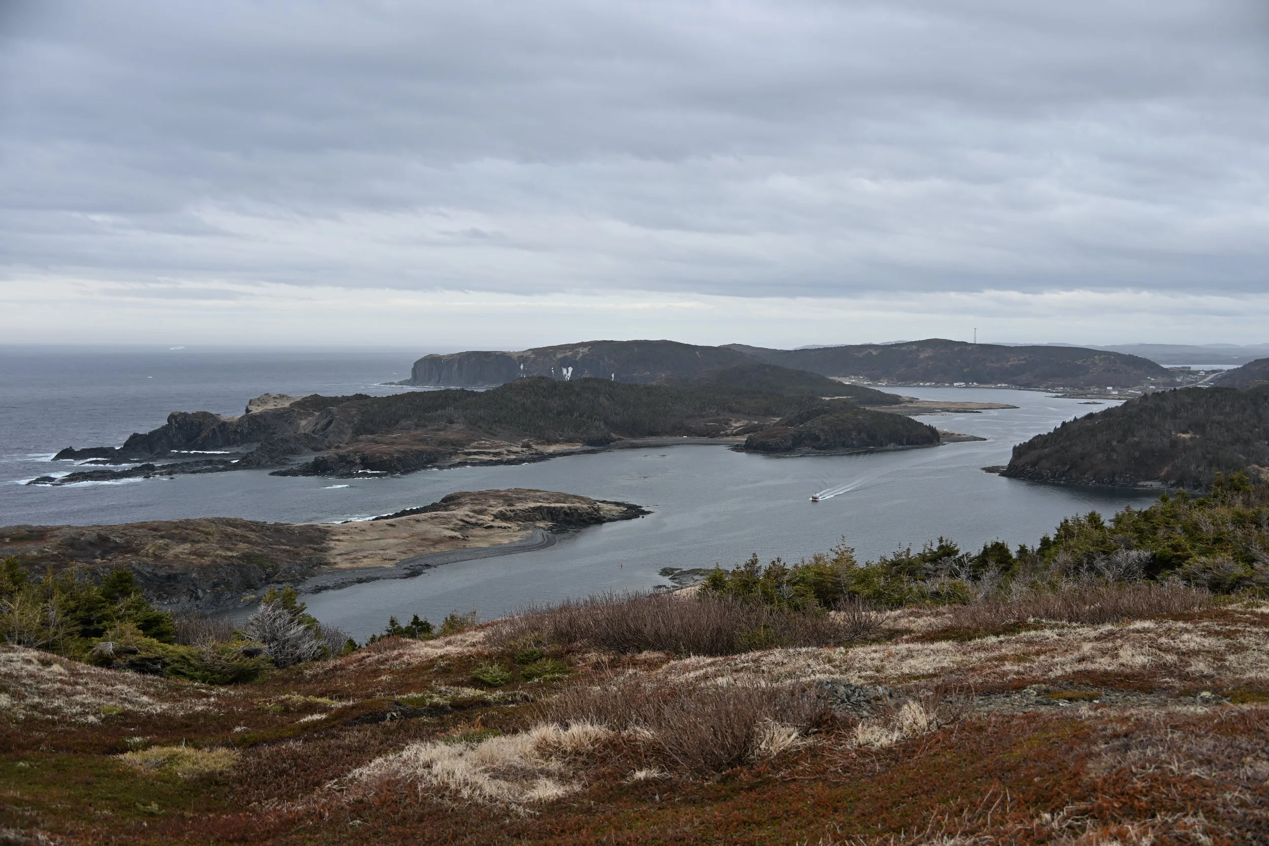
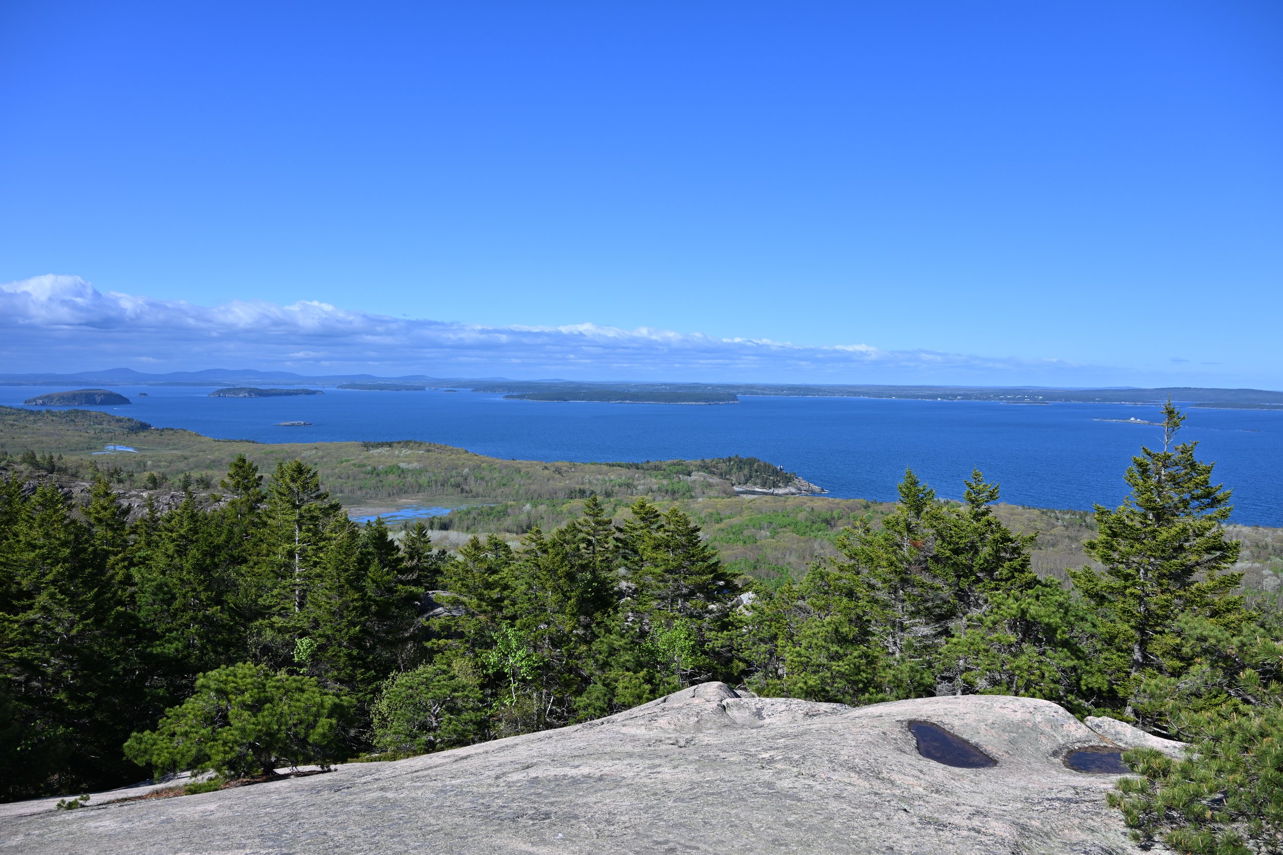
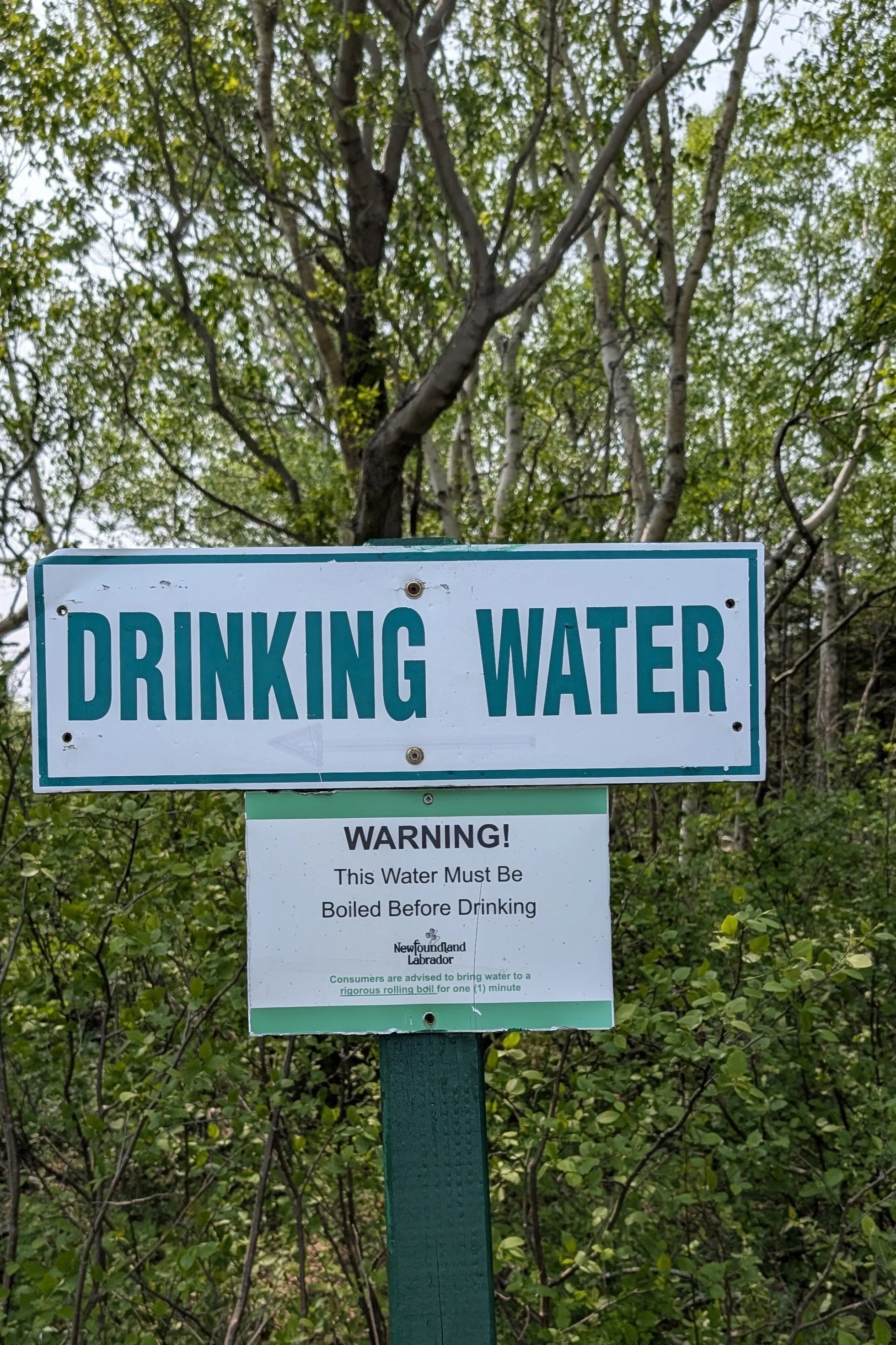
This one, at our last hike in Newfoundland, seemed a bit contradictory:
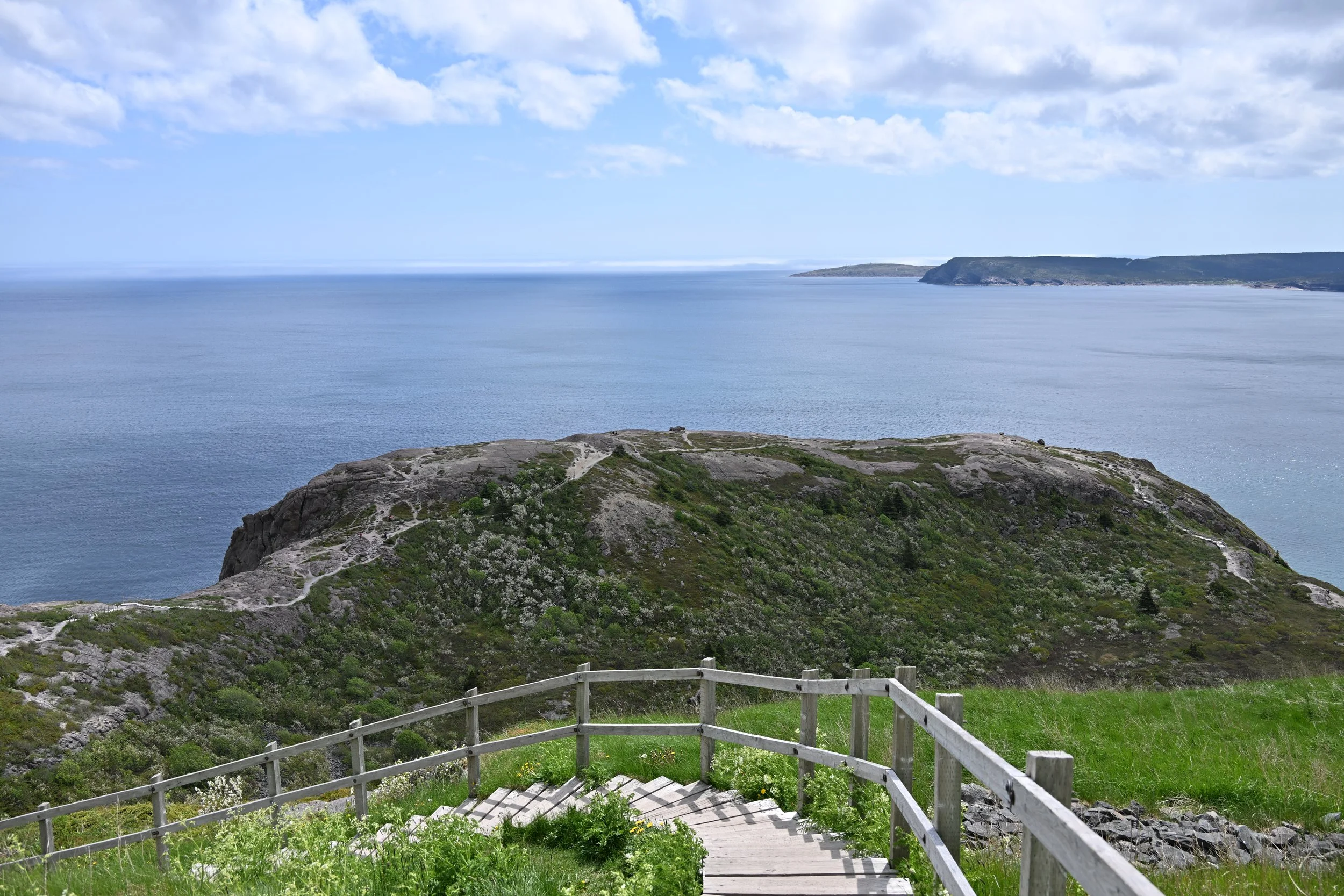
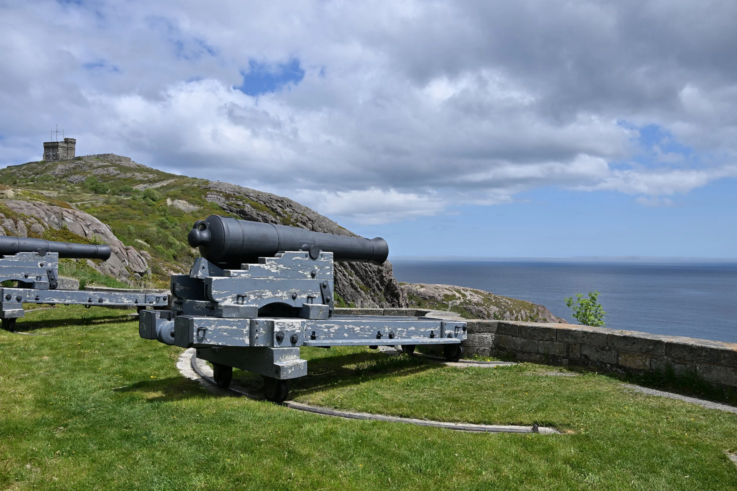
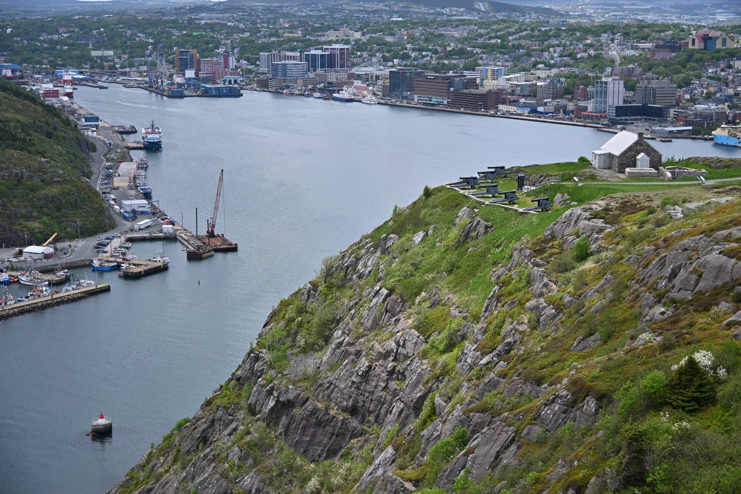
Speaking of the last hike in Newfoundland, I thought this picture really showed the scope of the view from up top:

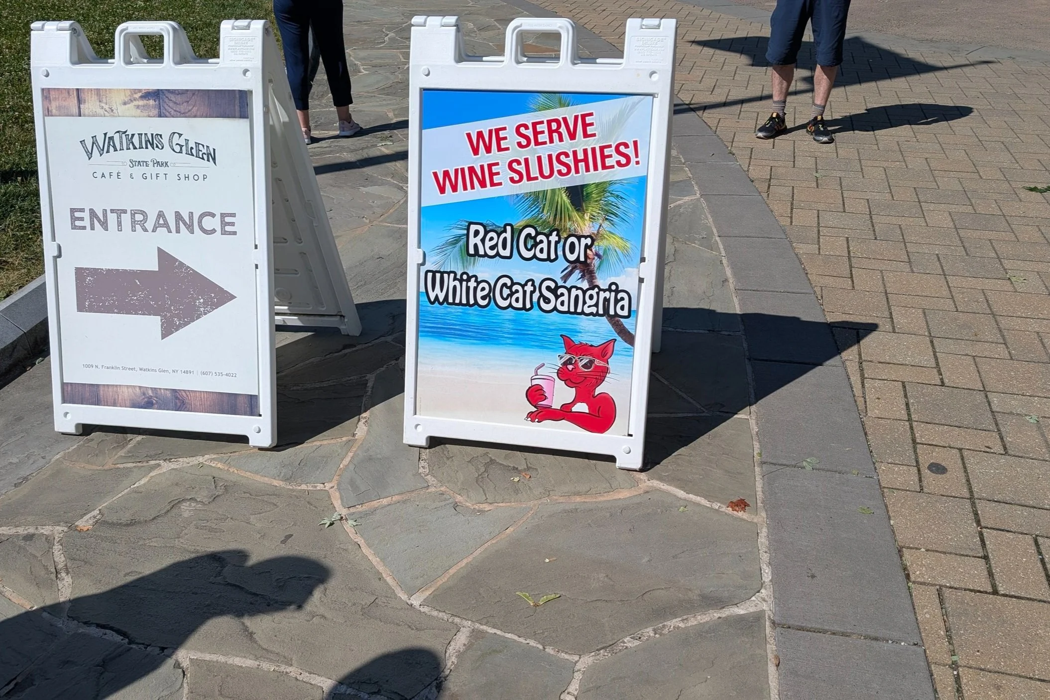
And this sign didn’t really tempt us before our hike:
We were warmly welcomed to Maine:

We quickly got used to the question of “do you need a machine?,” rather than “are you paying by card?” We had not heard that usage before, but it was the common approach beginning in Maine and continuing throughout the Atlantic Provinces.
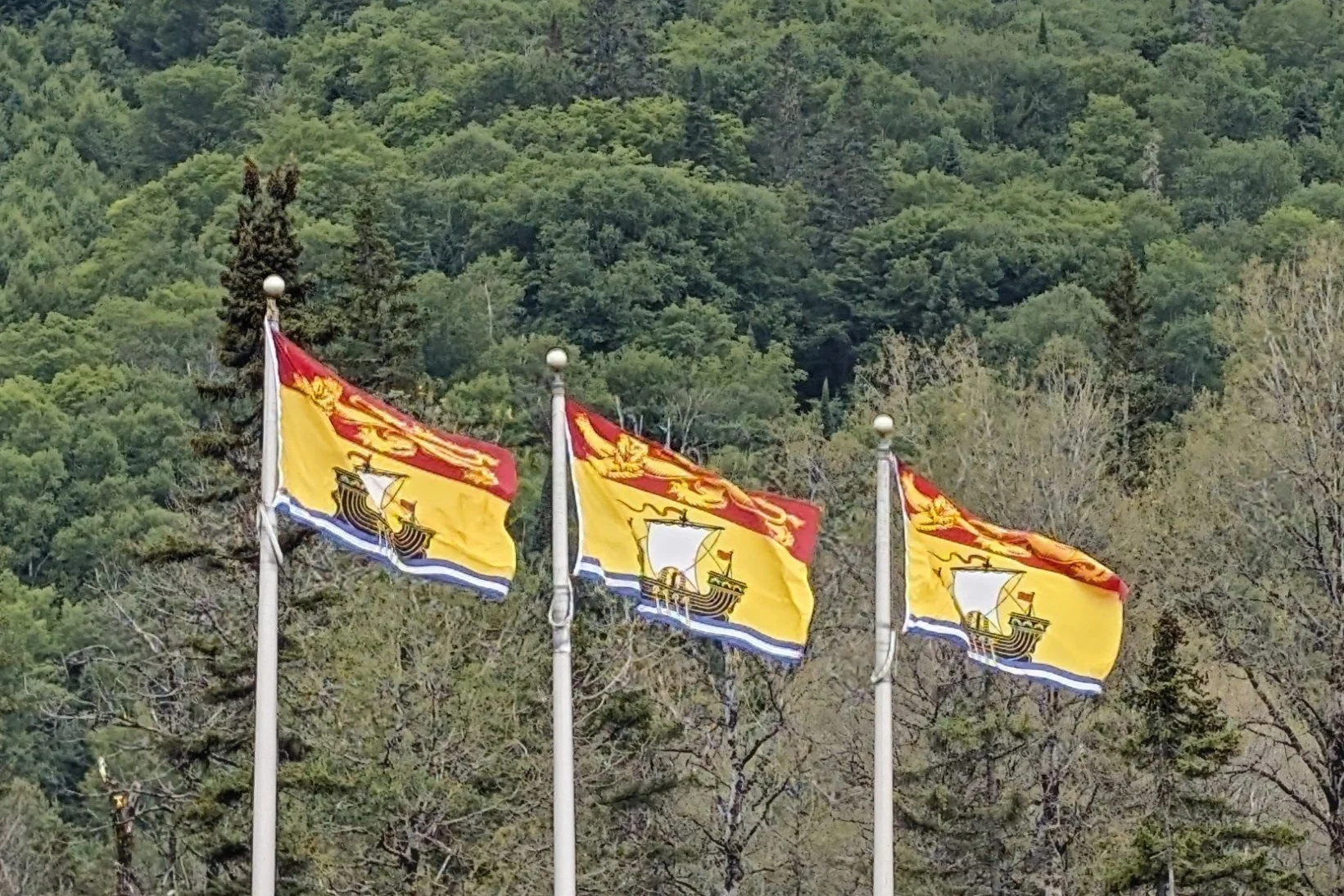
After Maine, our first stop was the Province of New Brunswick, one of the original four provinces of Canada:
New Brunswick provides the northwestern shore of the Bay of Fundy, and is the location of the Hopewell Rocks Provincial Park, where Lisa got her neat pictures of the range of the tides. It also is where we experienced a high-end variation on Quebec’s best known contribution to Canadian cuisine, Lobster Poutine:

After New Brunswick, we journeyed to Prince Edward Island:

PEI and its capital of Charlottetown are known as the birthplace of Canada, as it was the location of the first 1864 meeting of colonial delegates on the subject of confederation. Ironically, it was not one of the first four confederated provinces (in 1867), and didn’t join Canada until 1873—after both Manitoba and British Columbia.
Another thing for which the island is known is, perhaps, the draw for most of its tourists: it was the setting for the Anne of Green Gables books. (Unfortunately, neither of us has read them, so we missed out on what most people see!)
Next stop was Nova Scotia (“New Scotland”), another of the original four provinces:

Our favorite part of Nova Scotia was Cape Breton Island. The hiking paths and driving scenery were fantastic. Scottish influence remains strong; indeed, “the Gaelic College” off the Cabot Trail offers year round courses in the culture, music, and language of the immigrants from the Scottish Highlands. For those of you who are golfers, Cape Breton apparently has 2 of the top 6 golf courses in Canada—including the best links course.
The Alexander Graham Bell National Historic Site is also on Cape Breton. The inventor and his family established a home in Braddeck, Nova Scotia, after inventing the telephone. The museum near their estate has interesting exhibits focused on his life and work, including airplanes, high performance hydrofoils, and transmission of conversations via light beams (the “photophone”). The exhibit that most caught our intention though consisted of a typewriter, accompanied by a very detailed explanation of what it was, and how it worked. Boy, that sure made us feel old!!
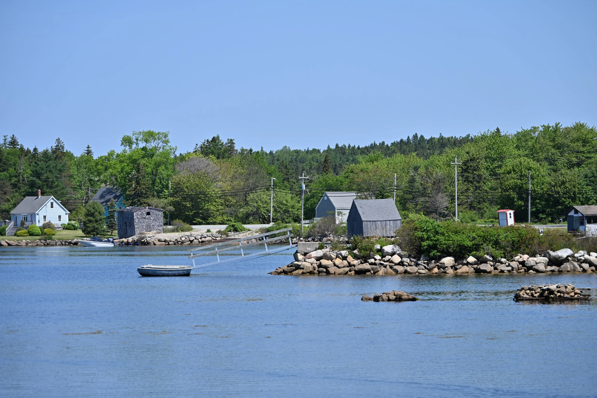
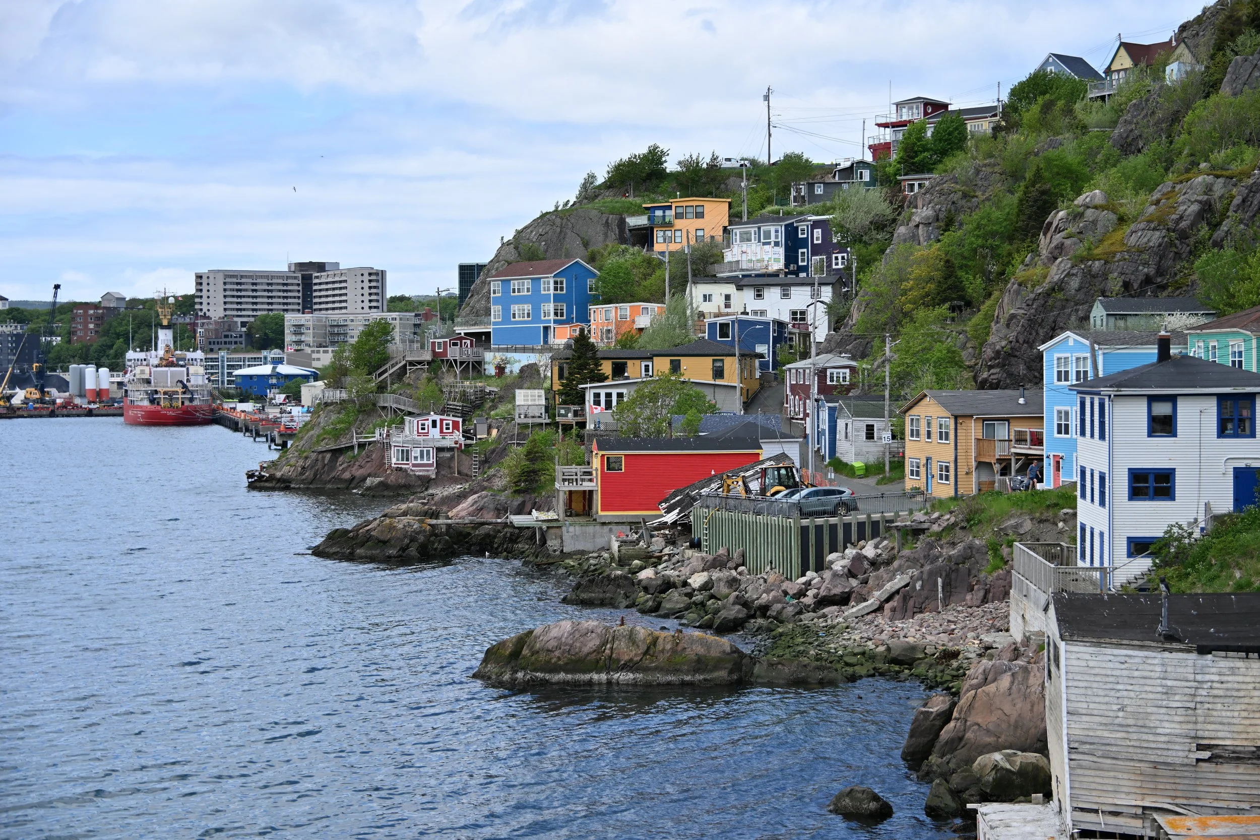
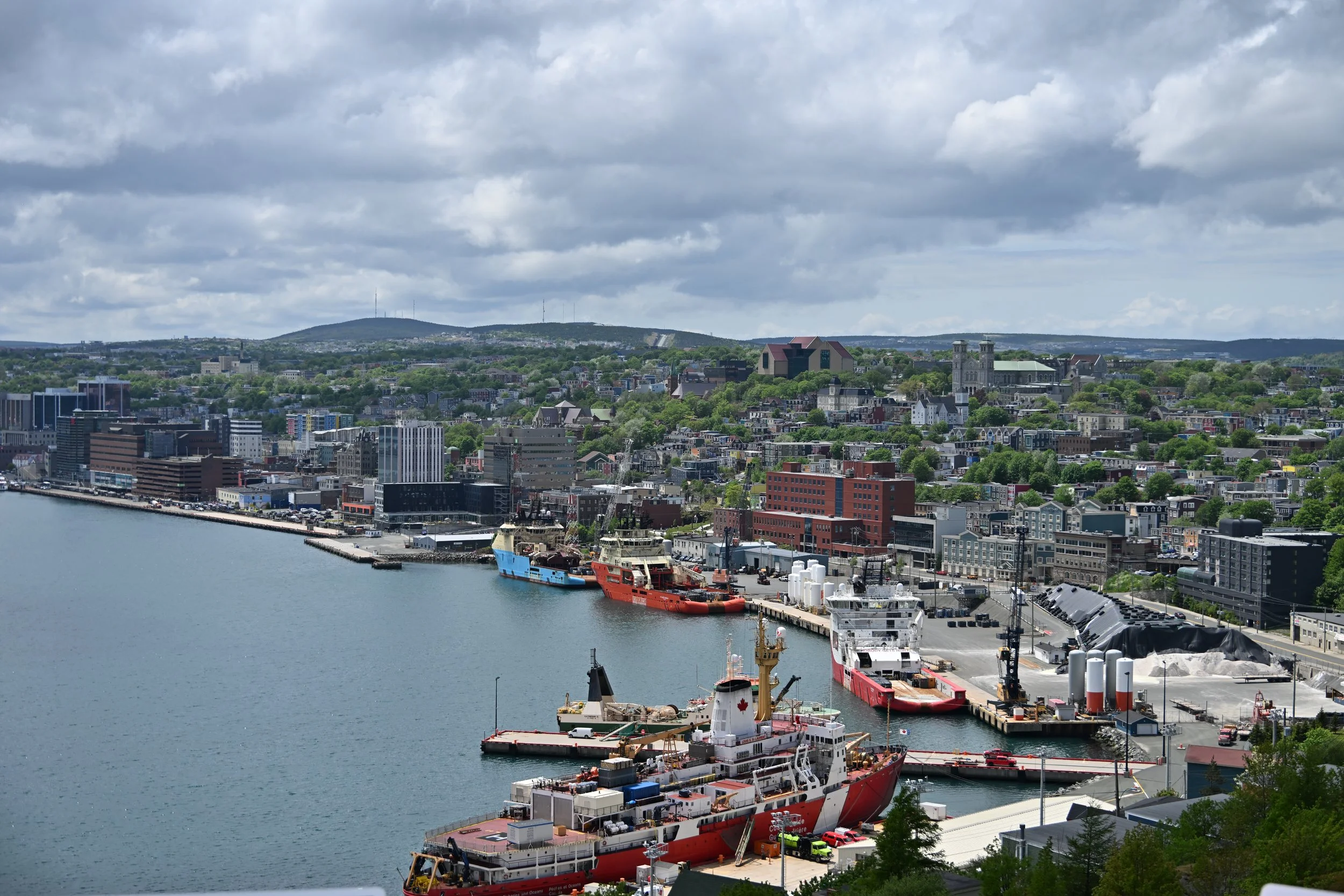
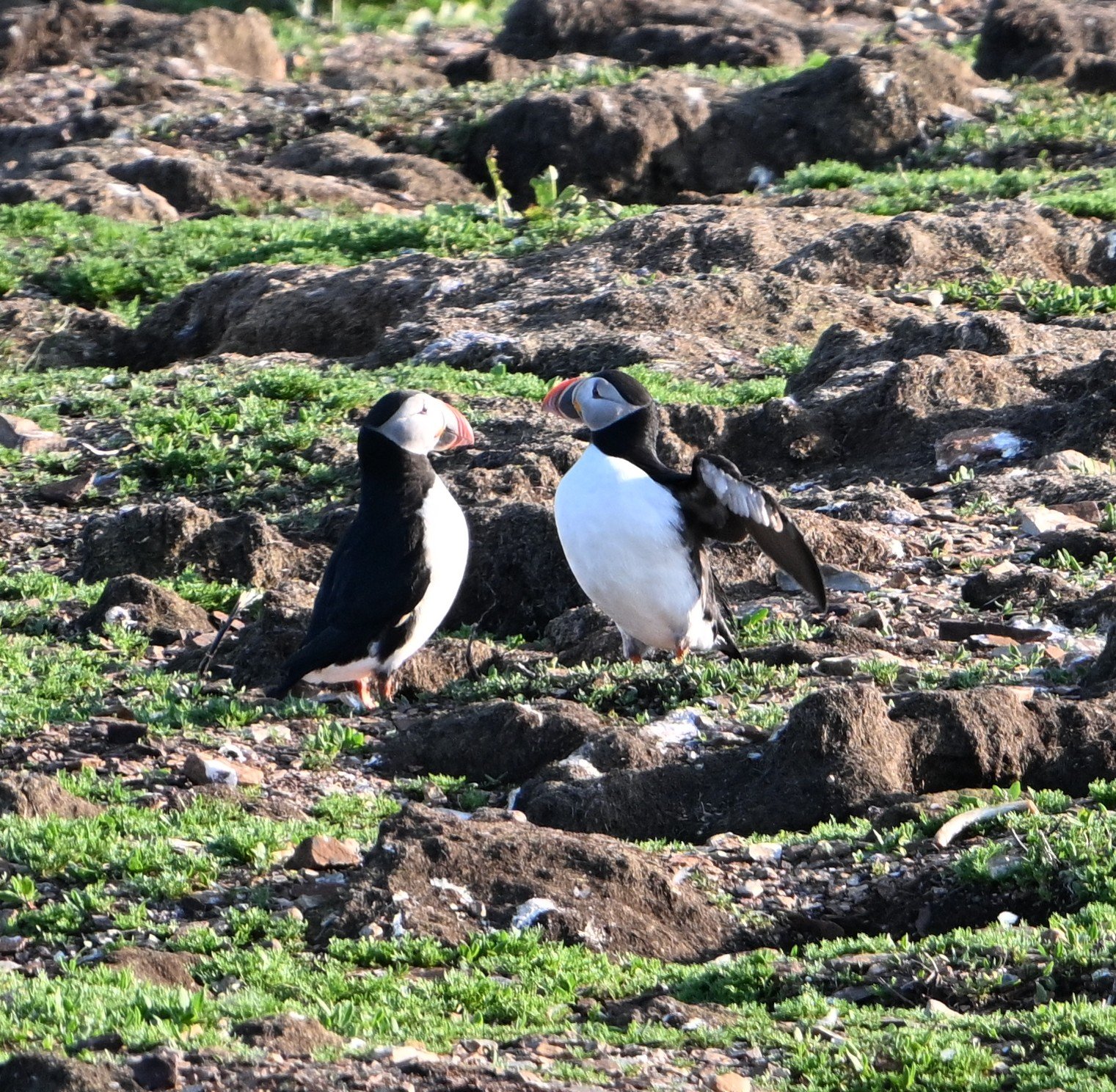
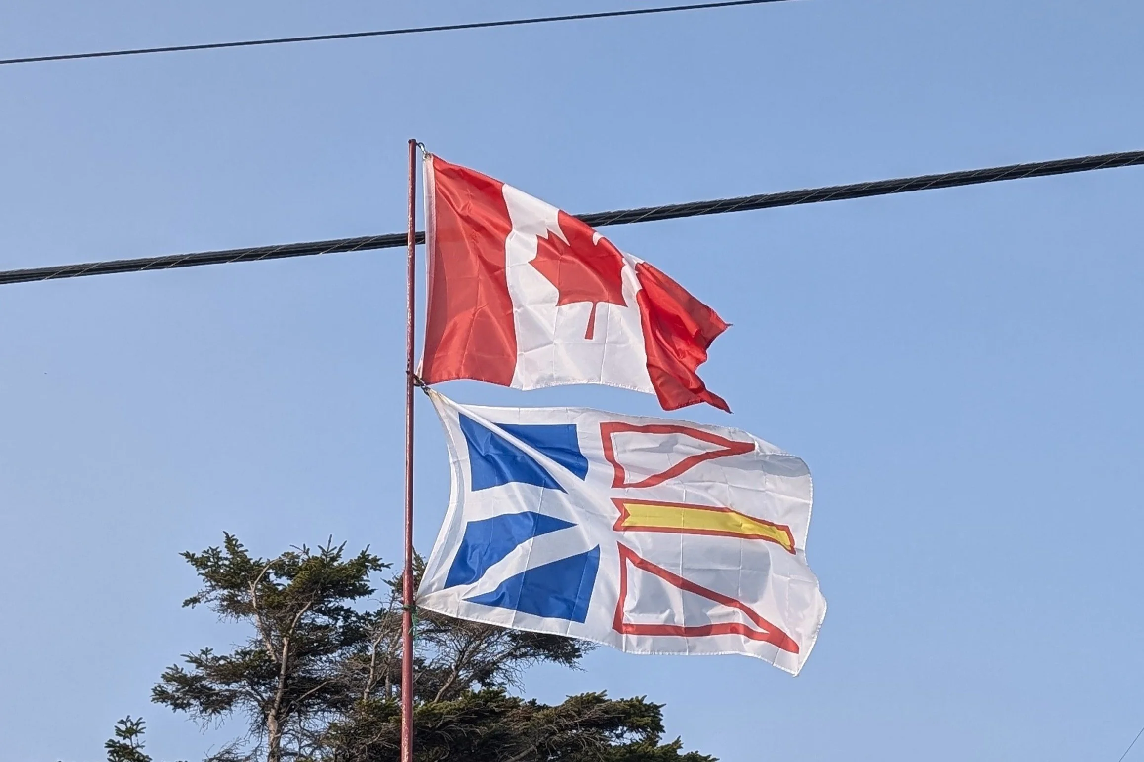
After Cape Breton, we started our week on the Island of Newfoundland—which has 95% of the population, but only 37% of the land, of the Province of Newfoundland and Labrador:
The Norse settled in Newfoundland for a short sojourn circa 1000 A.D., and it was heavily visited by European fishermen beginning shortly after 1500. Nonetheless, it didn’t become part of Canada until 1949 (and even then only after a great deal of political machinations, as Canada and England worked to prevent it from becoming too close to the United States).
In the US we tend to pronounce the name of the province with the stress on the first syllable, but locals stress the second syllable (newFOUNDland). Their accents varied as we made our way across the island, from general Canadian (oot and aboot) in the west, to nearly sounding Irish in St. John’s (the capital city on the east coast). The differing accents are attributable to the settlement patterns of the island—and to the fact that villages were easily accessible only by sea. Apparently, even today, natives can determine by accents where their fellow residents grew up—and, therefore, even which religion they were raised in (Protestant and Catholic villages).
Finally, one piece of trivia about Newfoundland. Just off its southern coast is the 8 island archipelago of Saint Pierre and Miquelon, which is still part of France. Despite having a population of less than 6,000, it has a delegate in France’s National Assembly. Unfortunately, we ran out of time and were unable to go to this part of France….
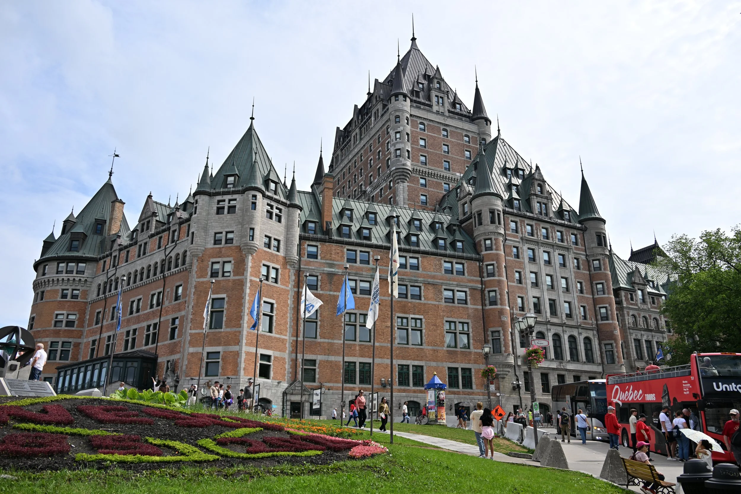
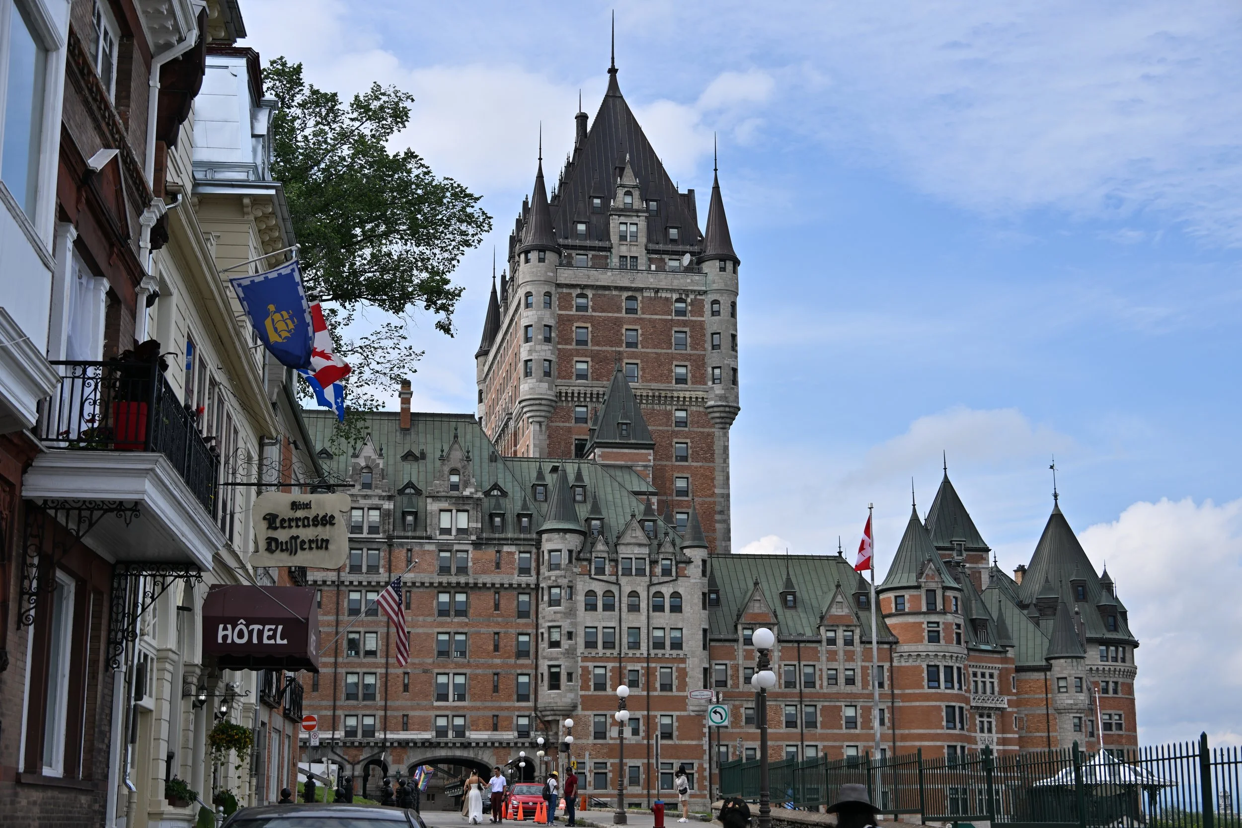
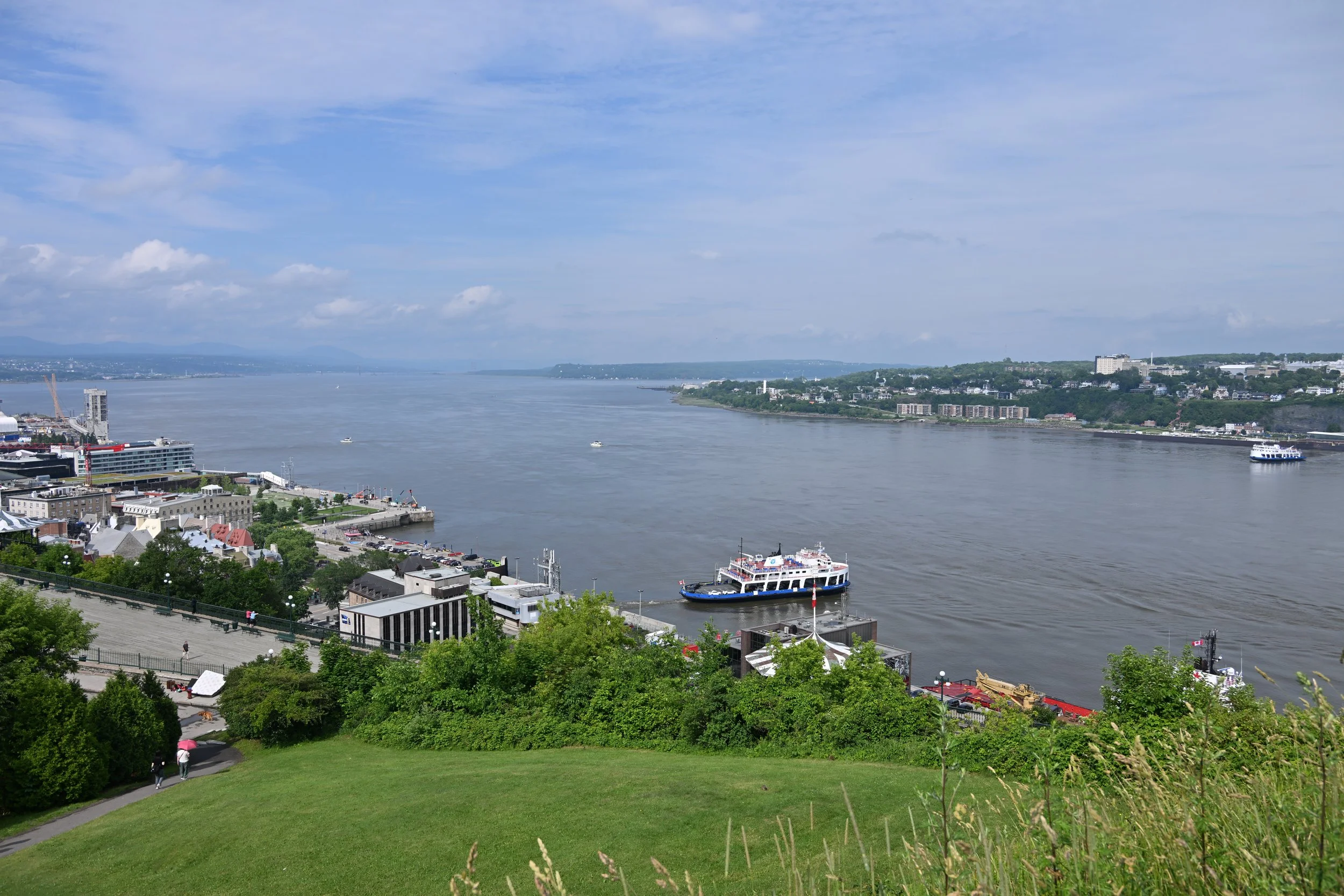
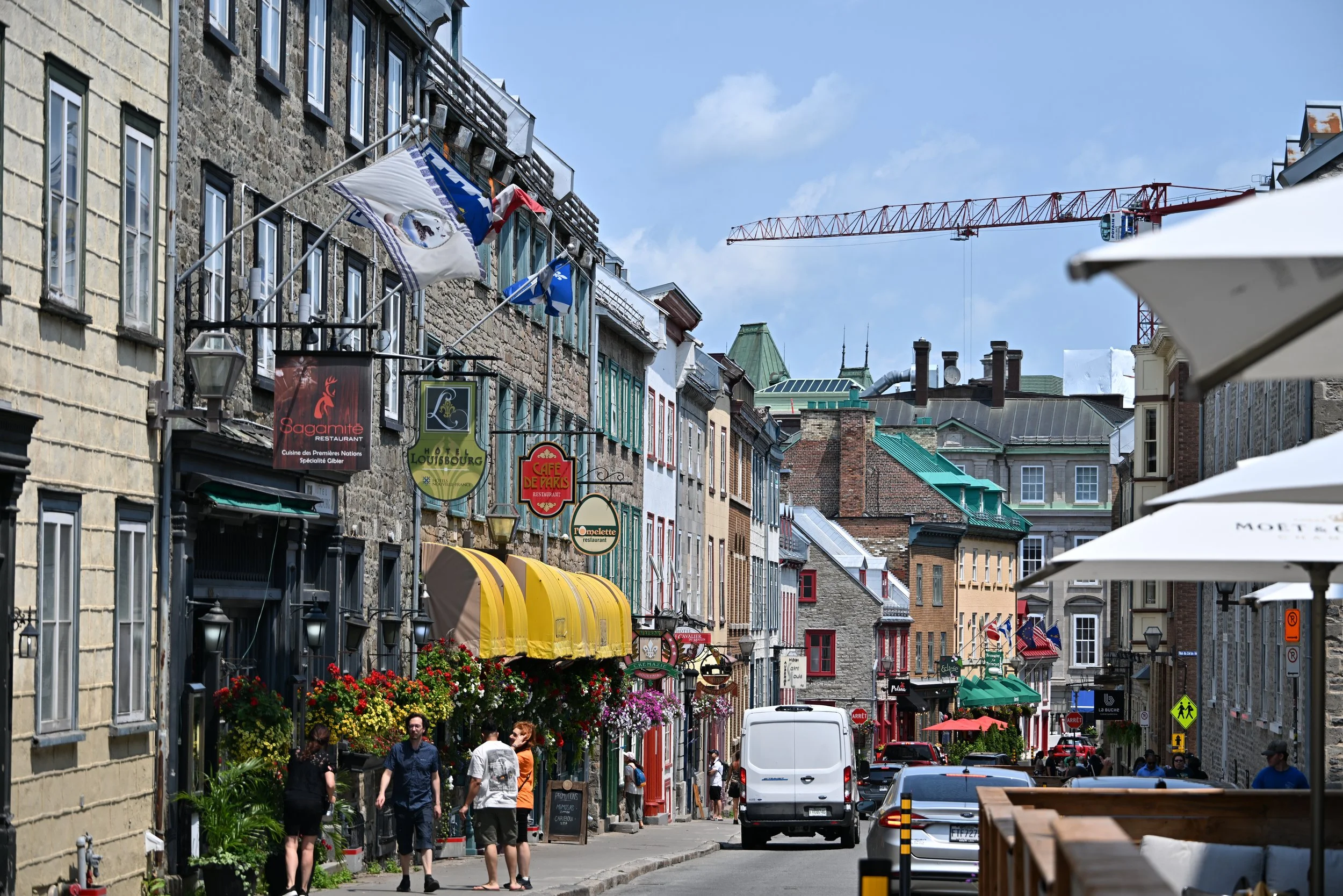
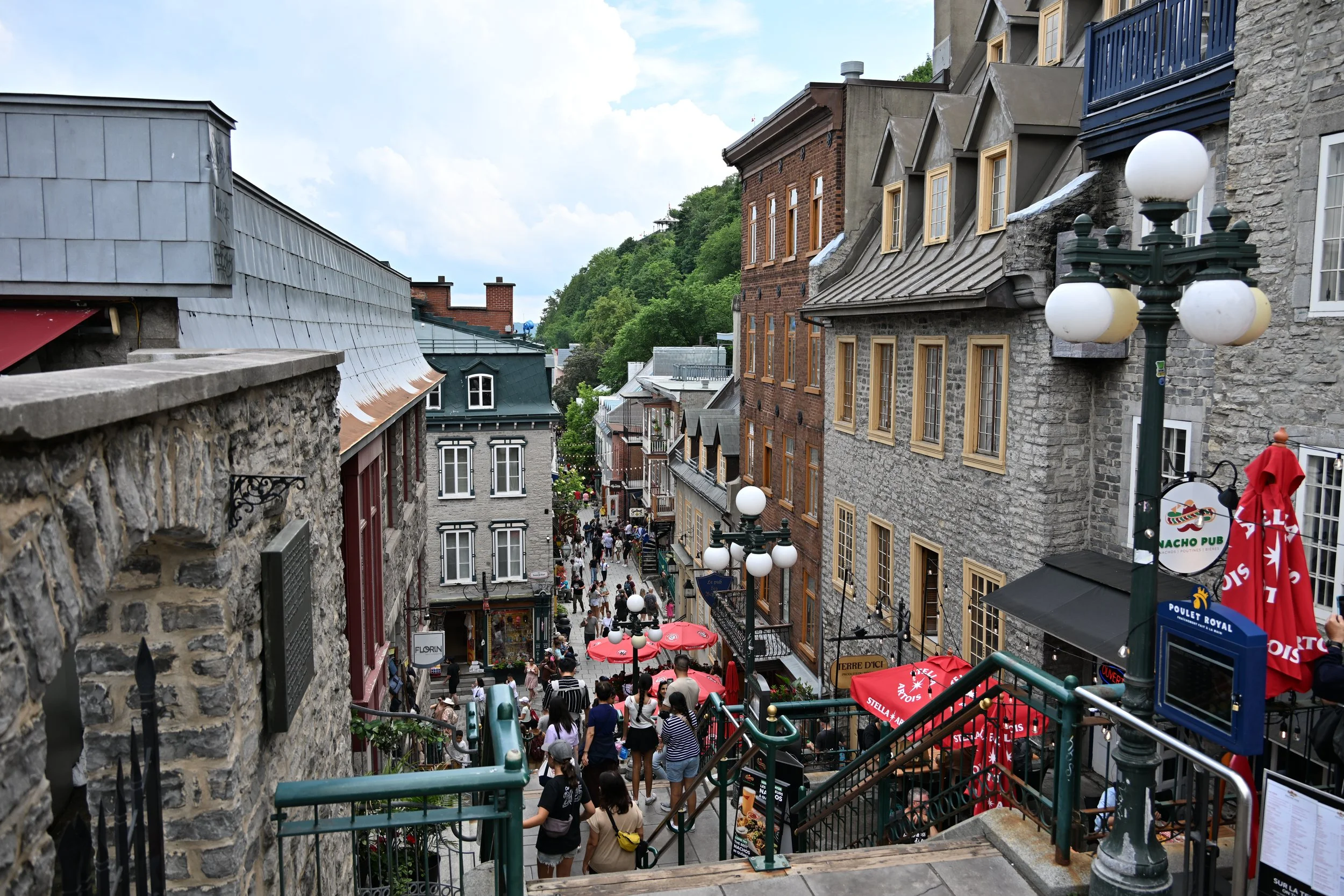
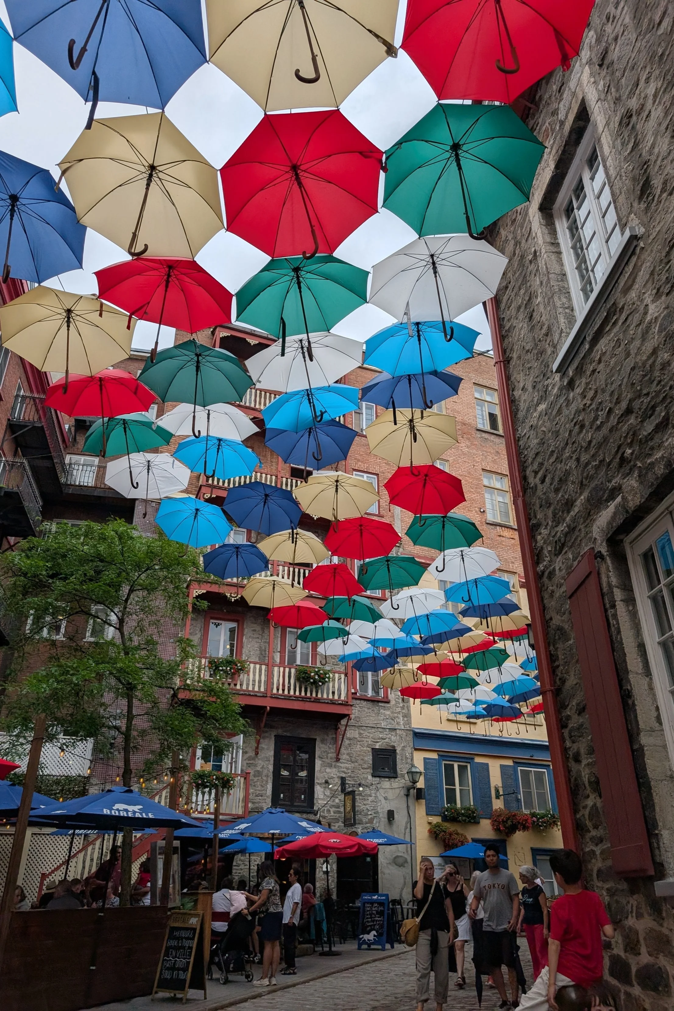
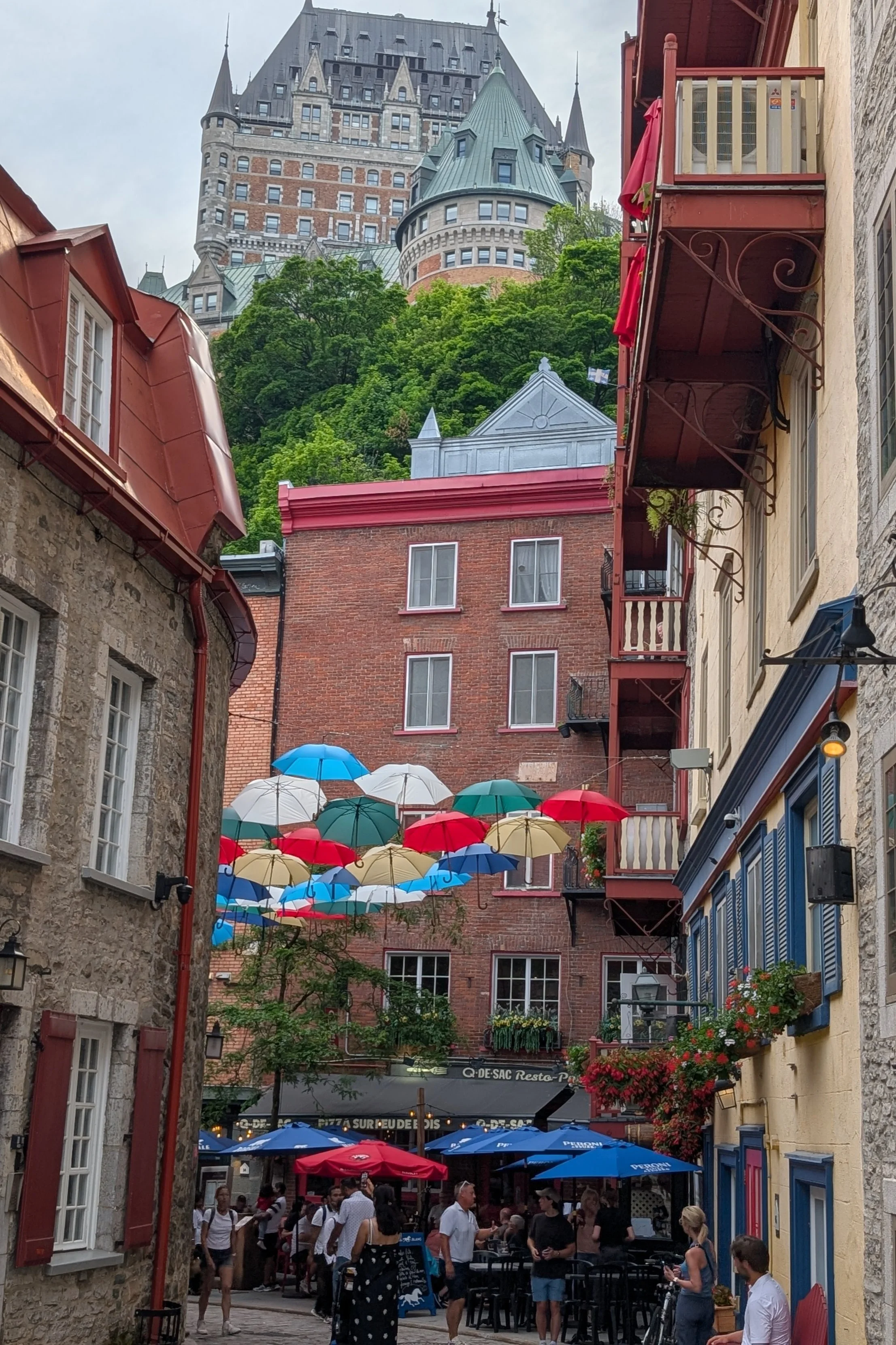
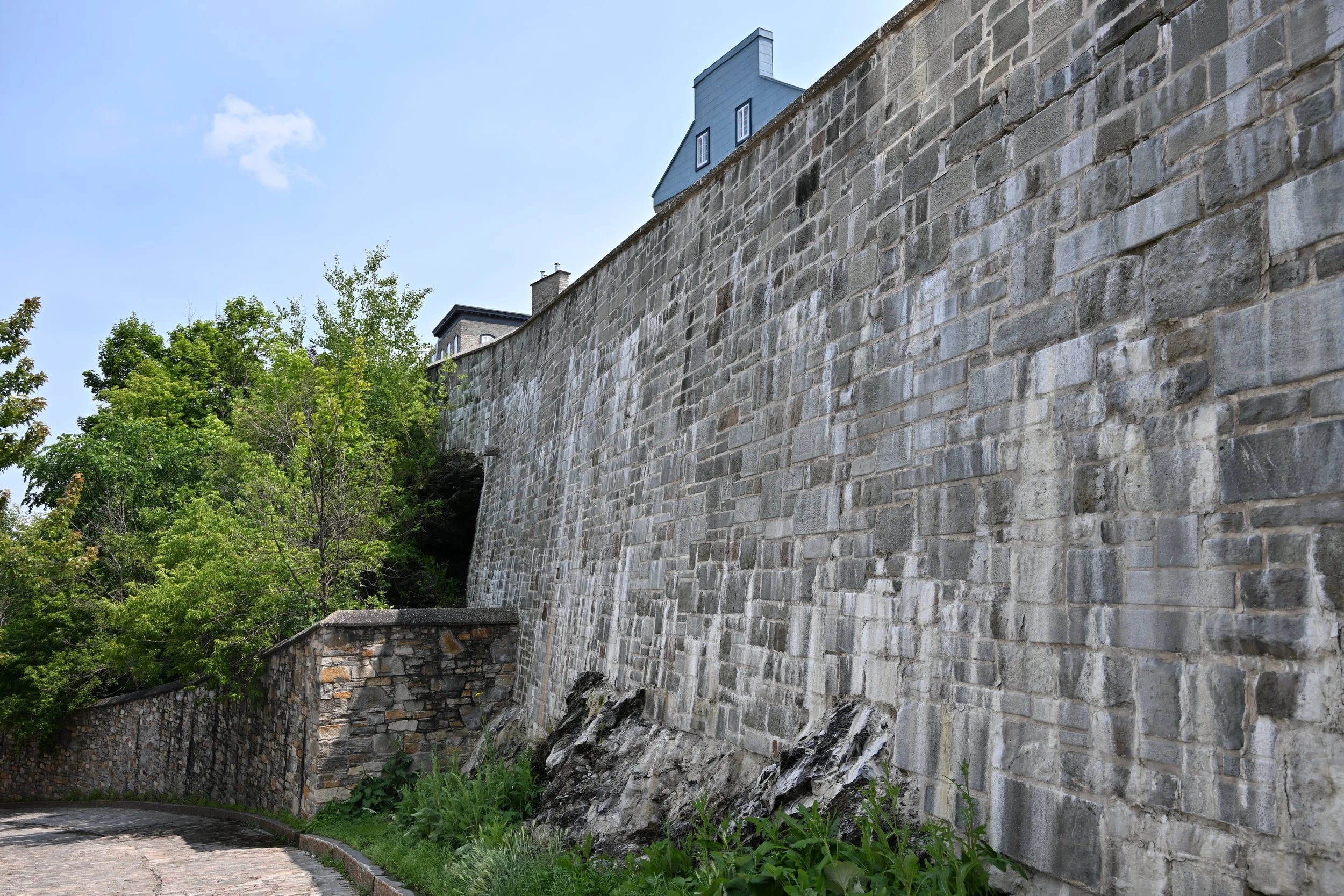
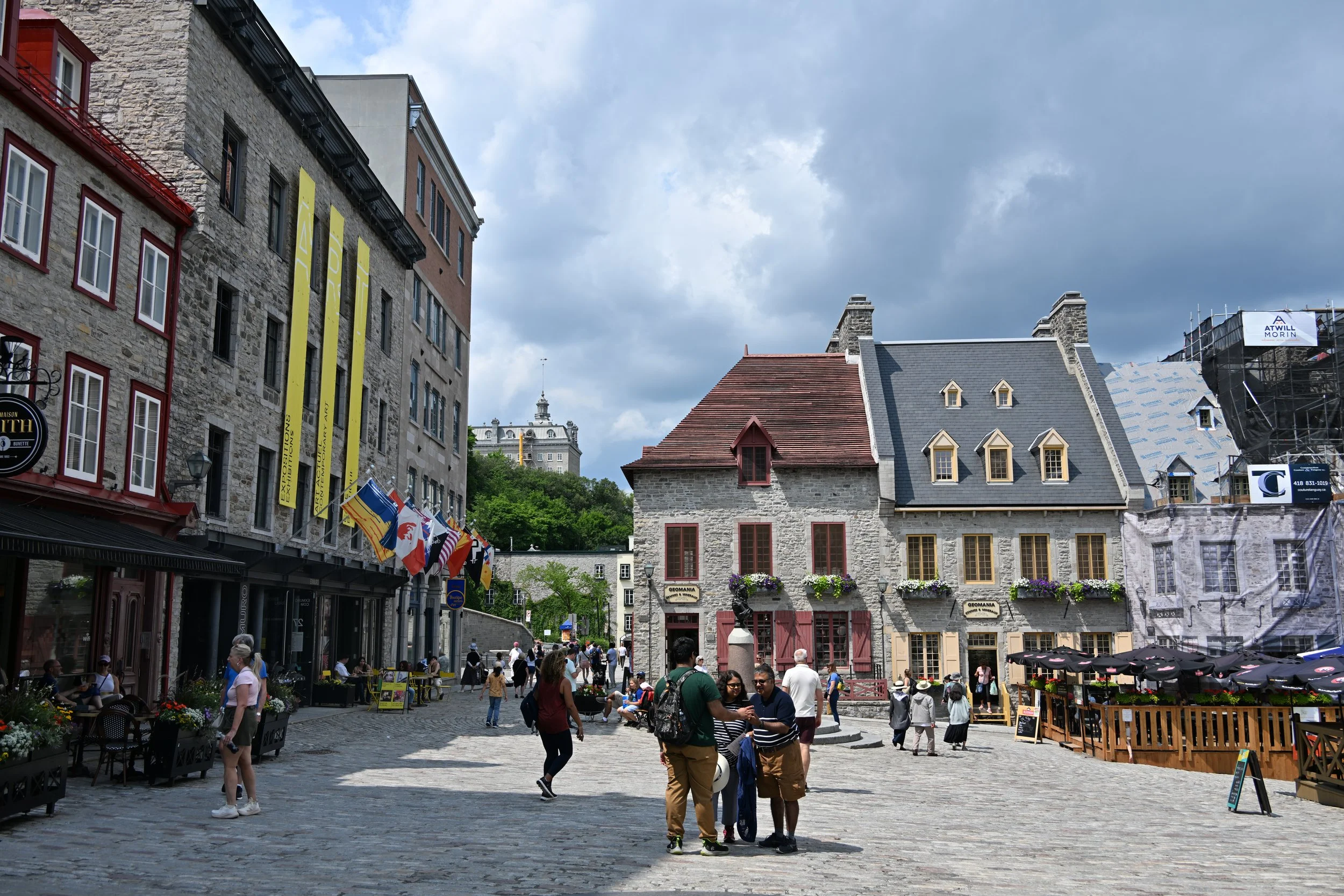
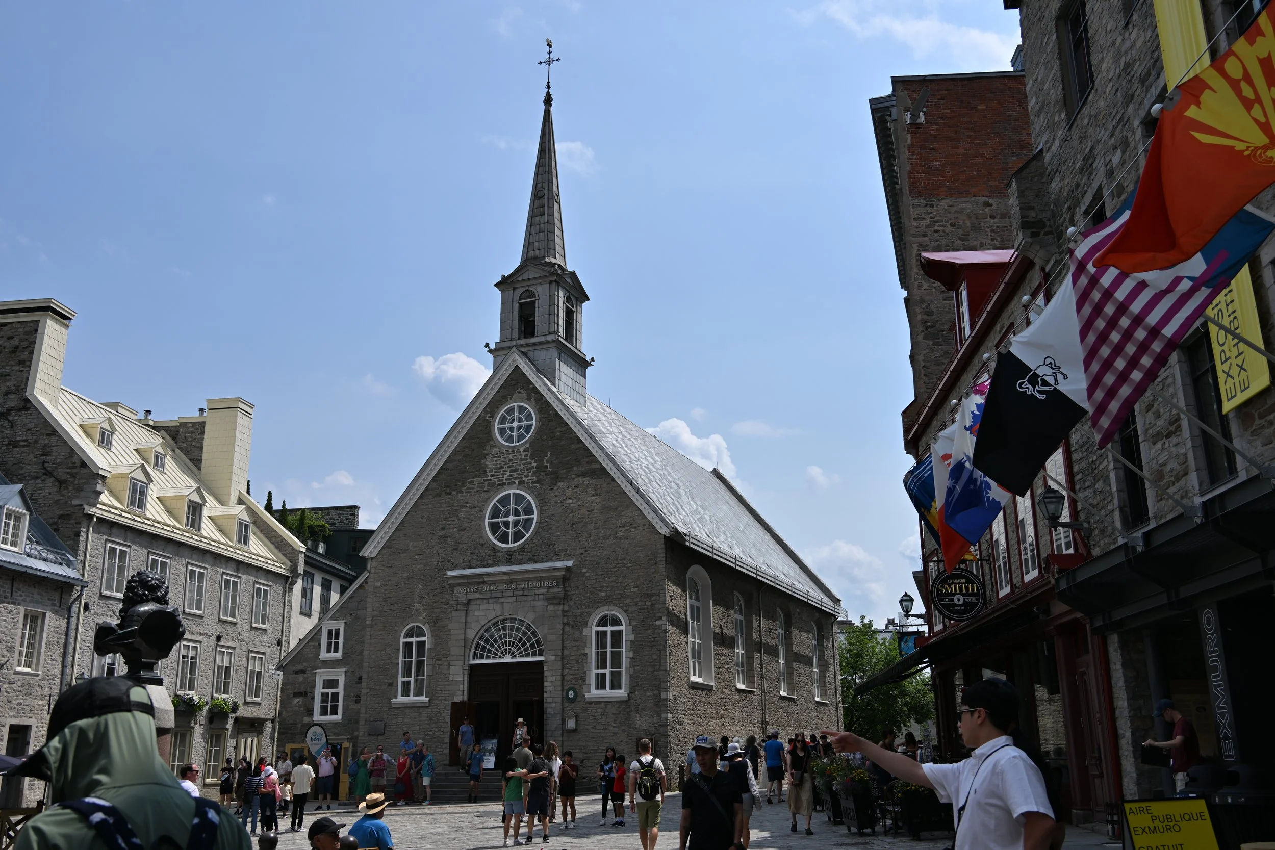
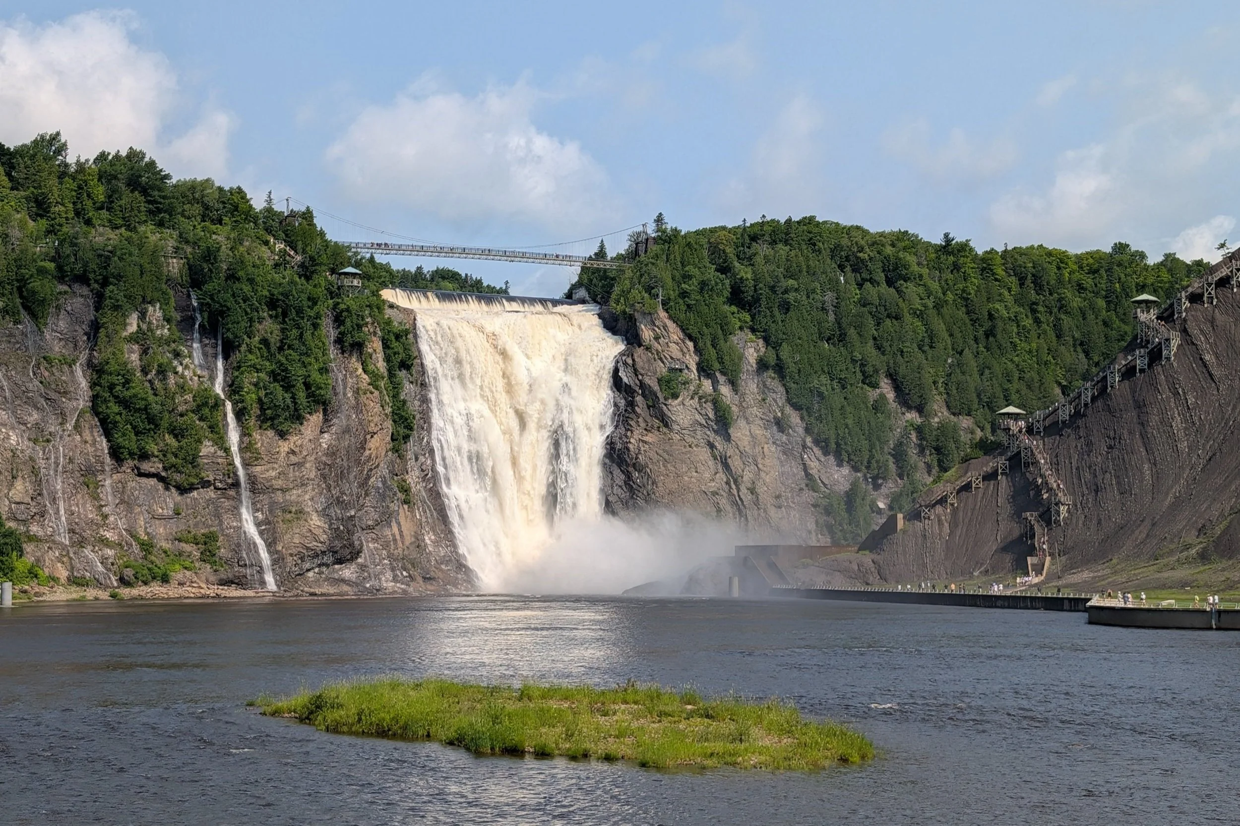
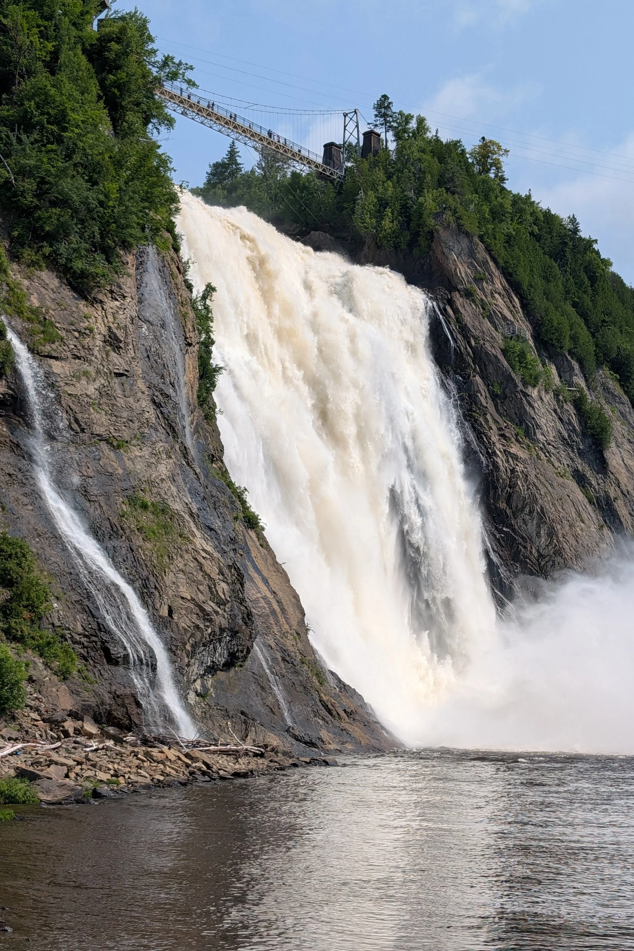
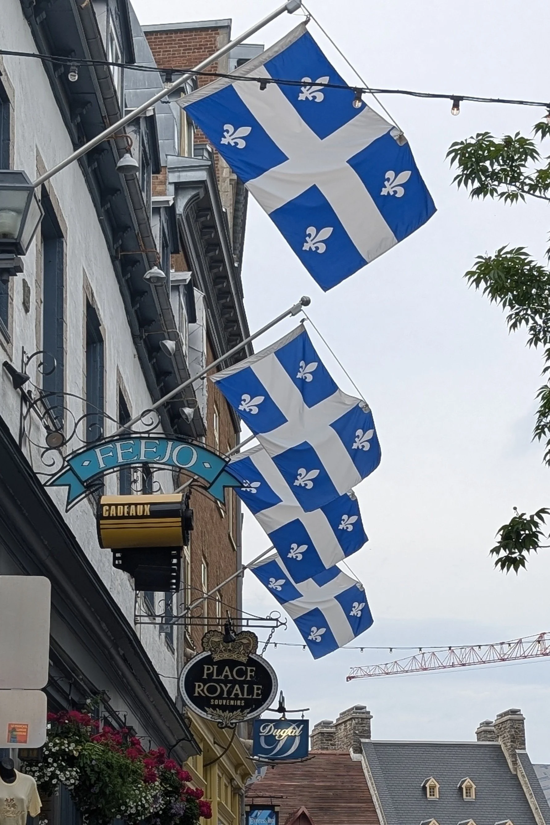
Speaking of France, we had an enjoyable stay in Quebec City, the capital of another of the four founding provinces of Canada:
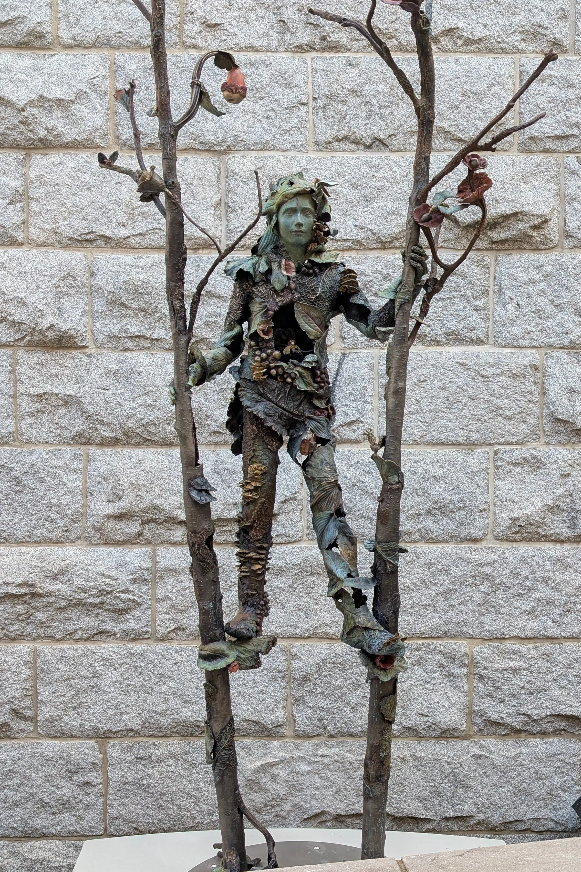
As Lisa indicated, in Quebec City, we stayed at a far less expensive place than the famous Chateau Frontenac Hotel, but we did walk the couple of blocks one night to visit their renowned bar. Once there, we found that even the mailboxes were fancy:

As a bonus for spending almost as much on drinks as for the cost per night of our nearby 4th floor walkup, we noticed a party two tables over included a familiar looking older gentleman—the singer Rod Stewart! It didn’t seem appropriate to take his picture in a bar, but I did stumble across this nice sculpture the next day:
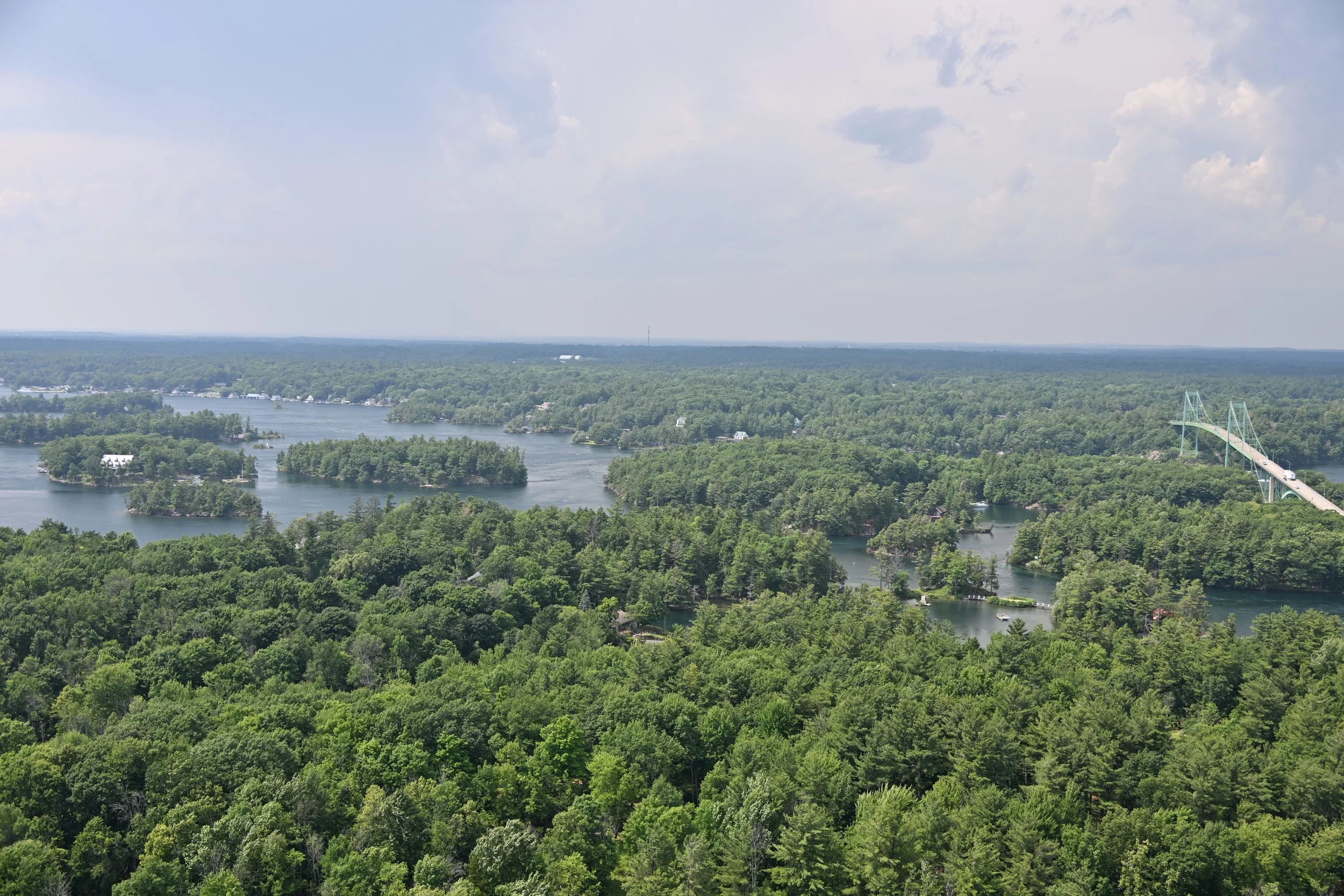
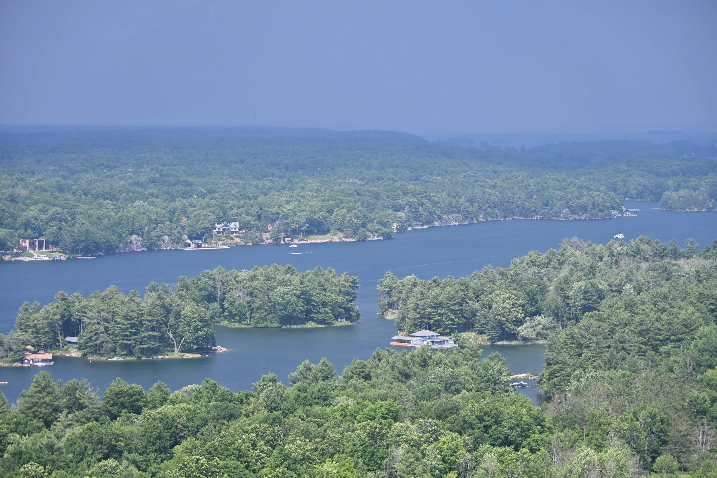
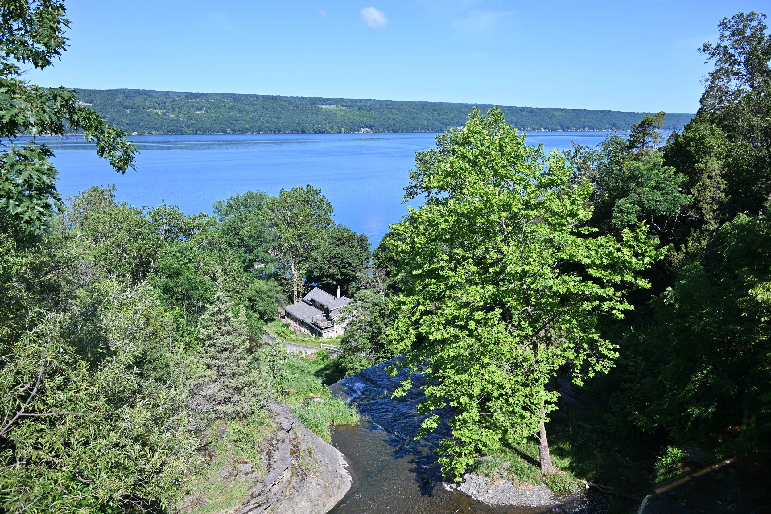
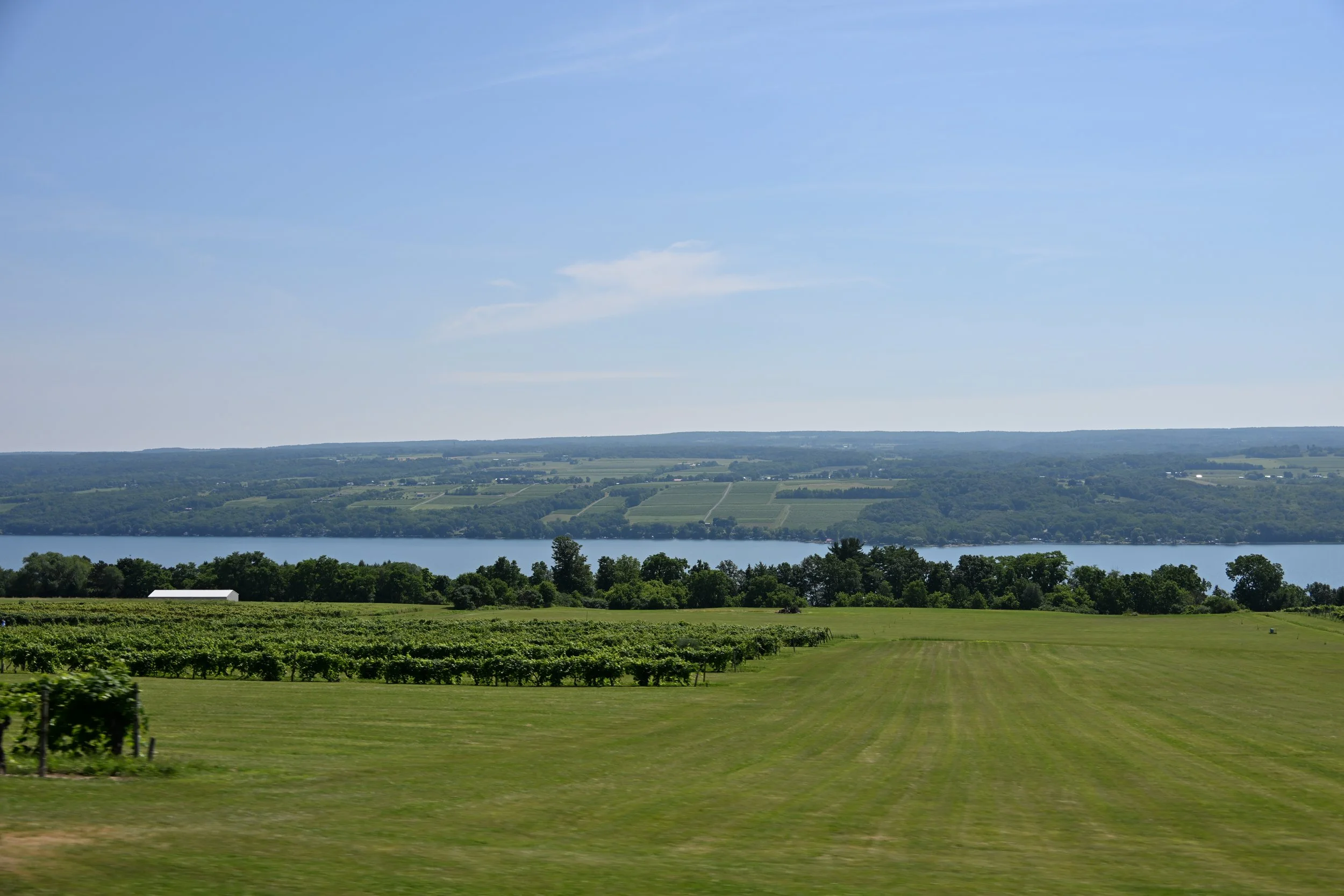
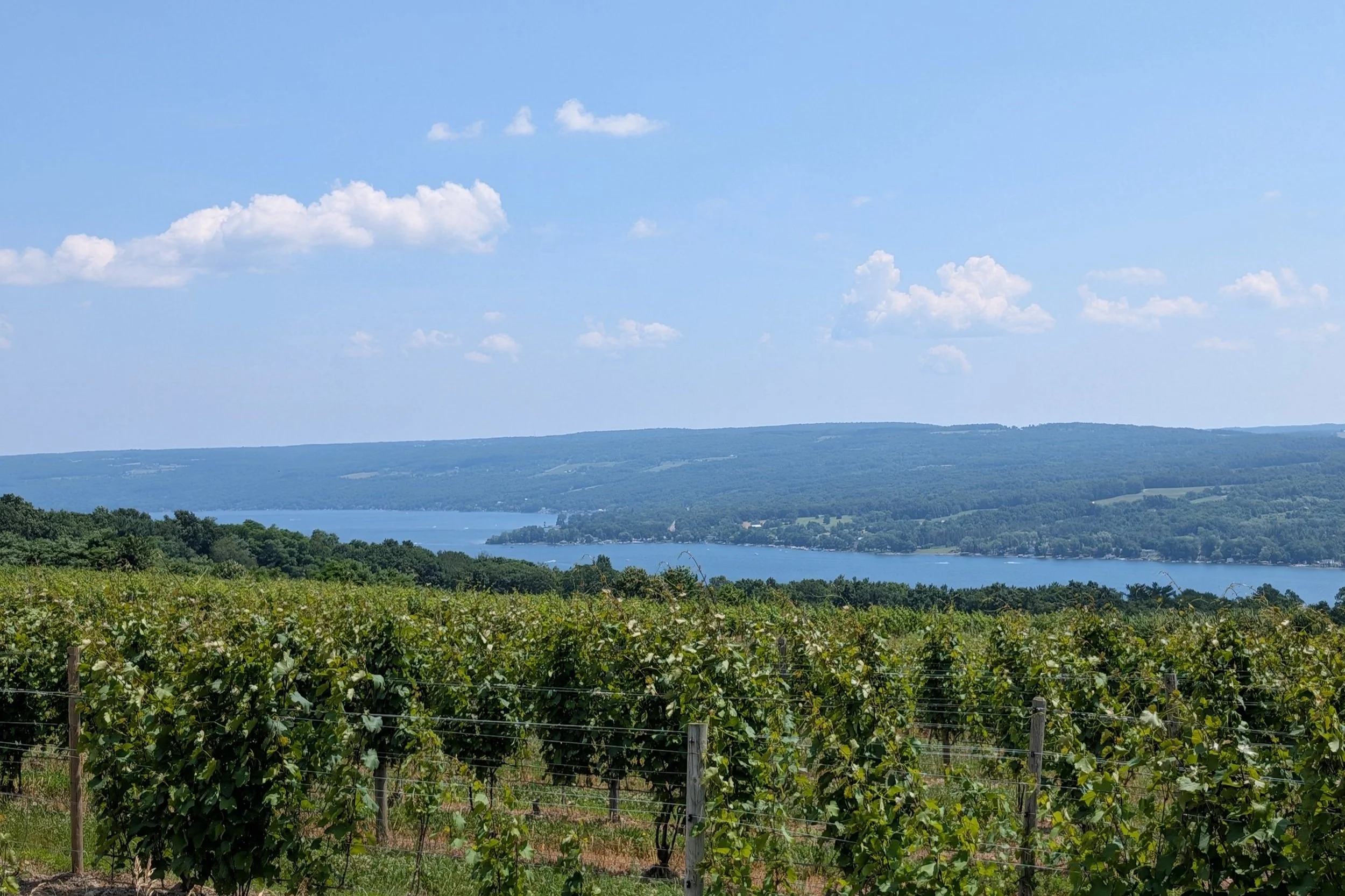
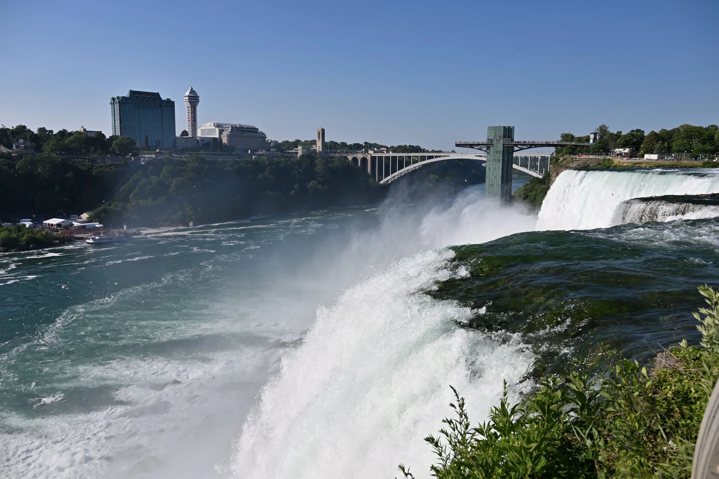
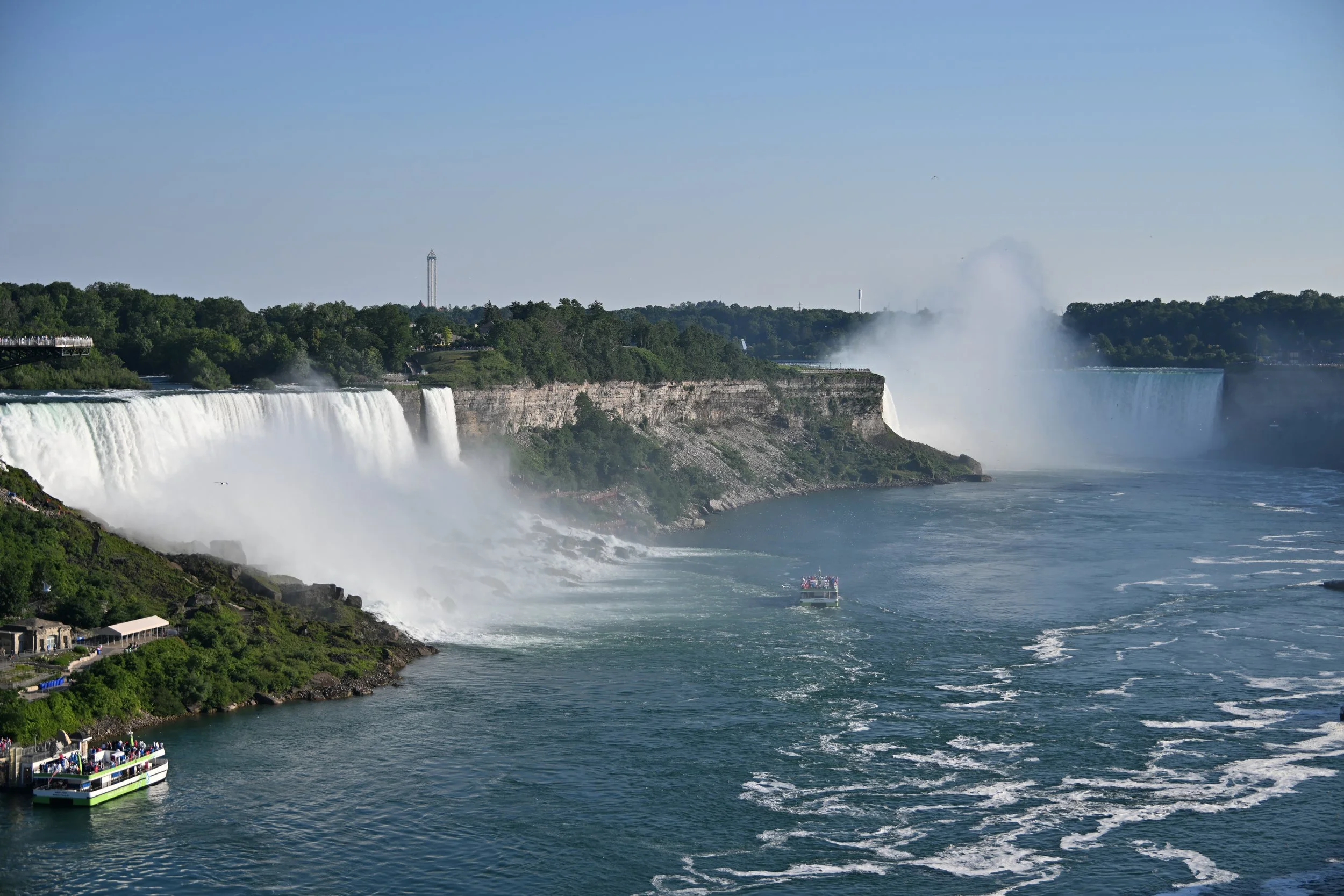
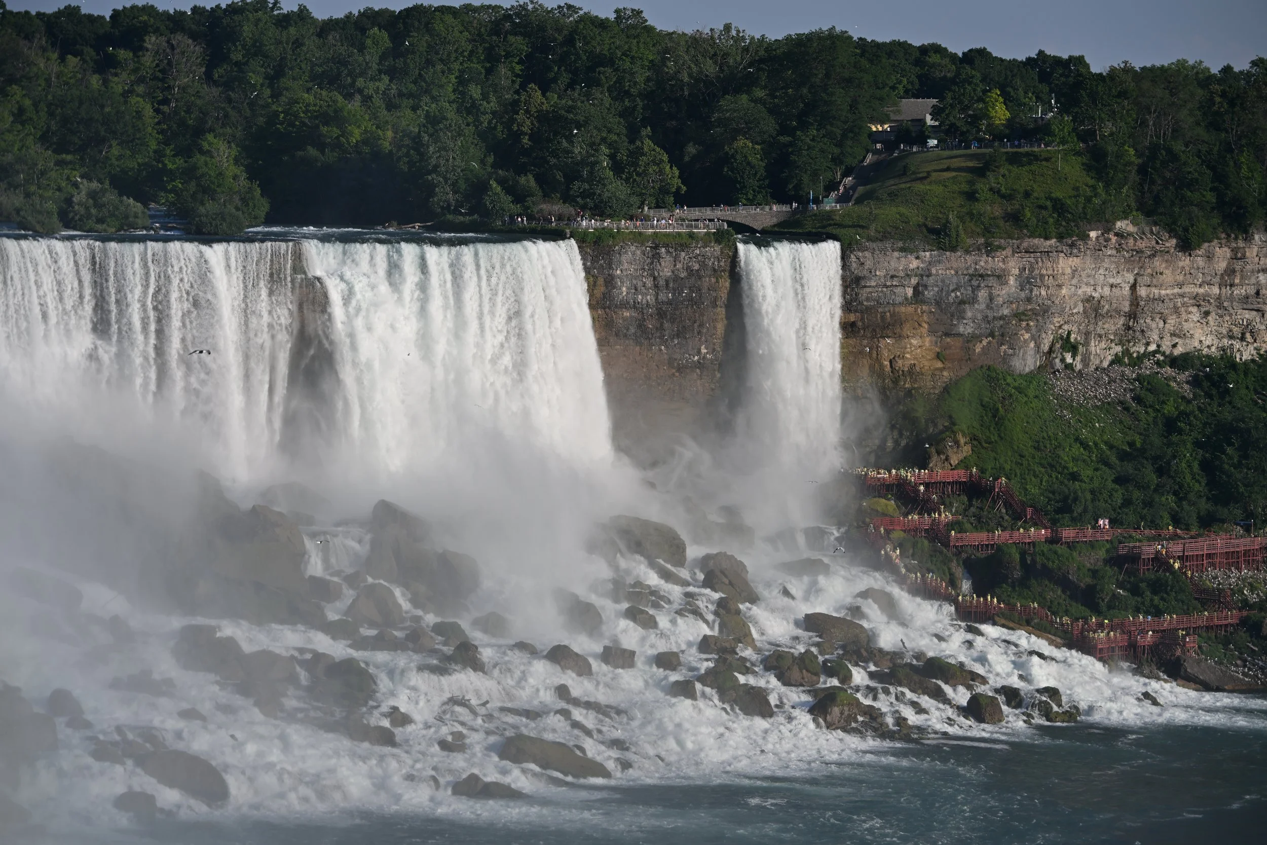
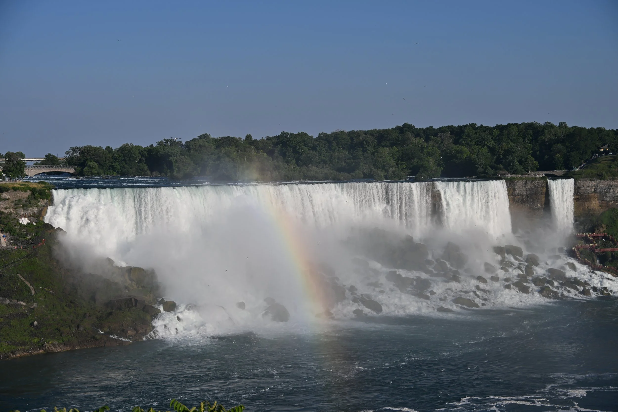
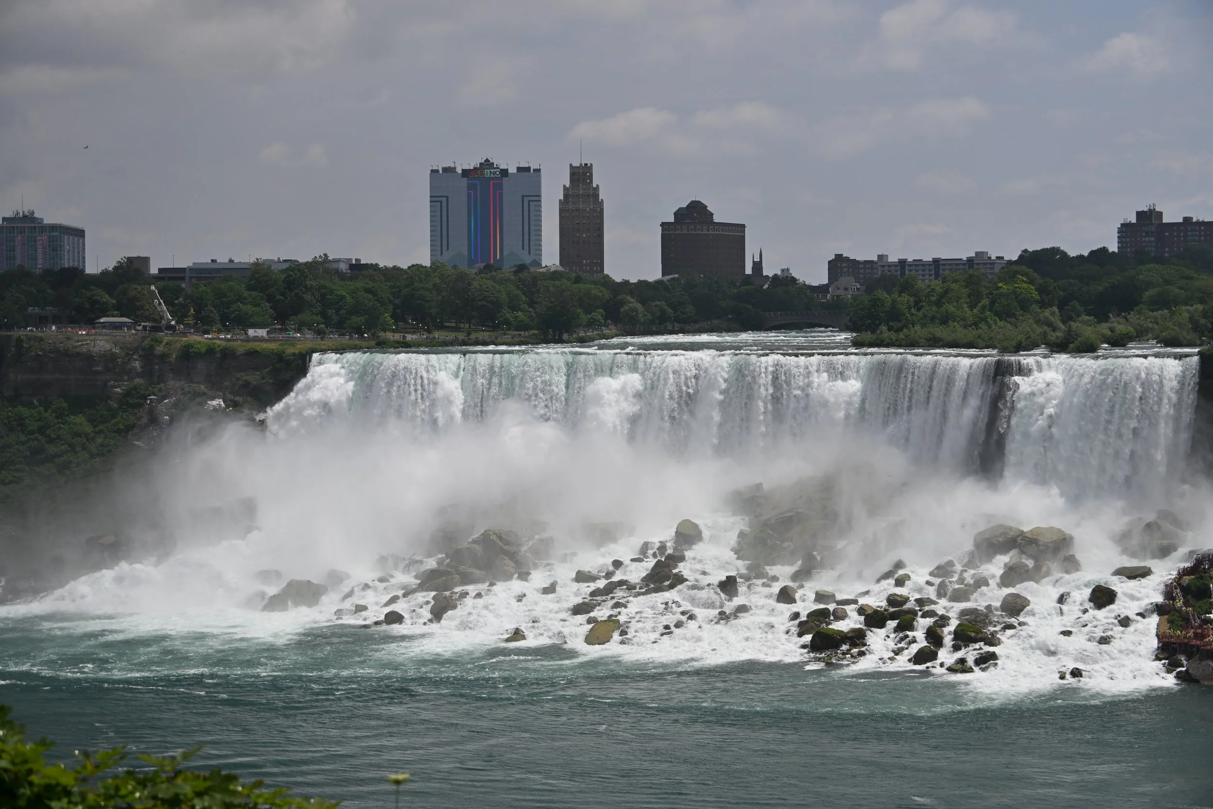
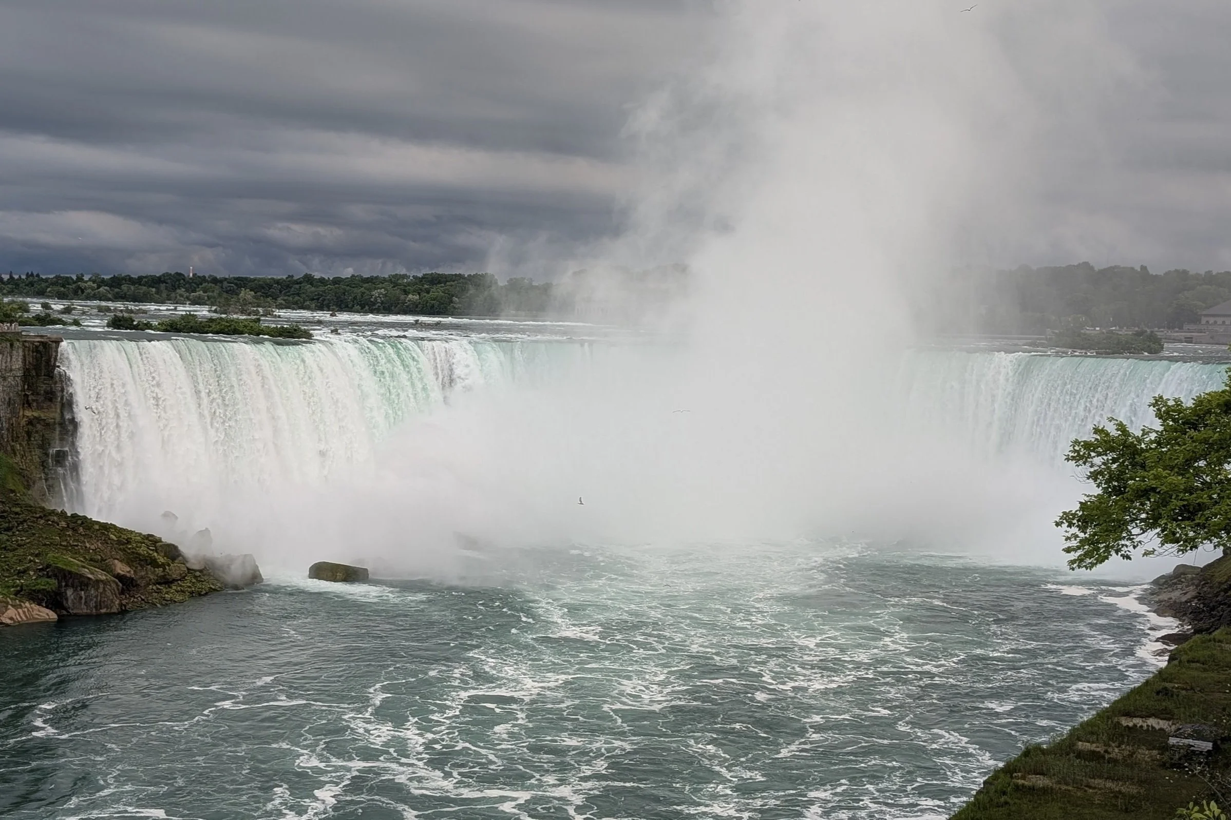
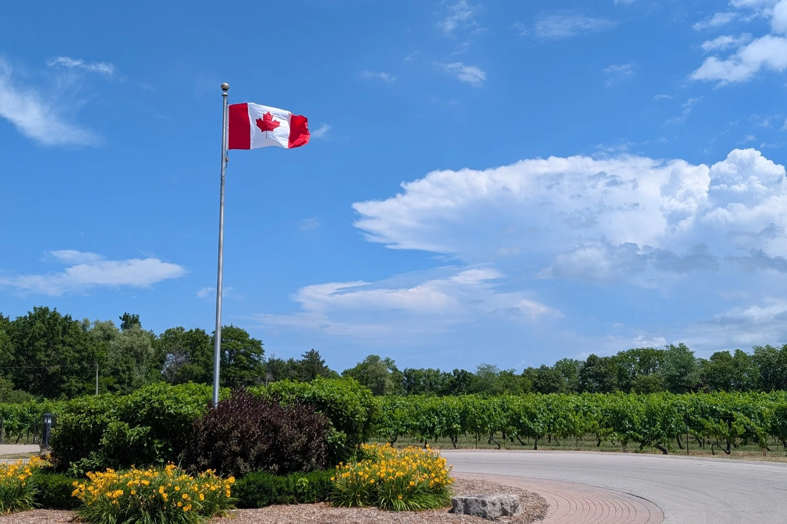
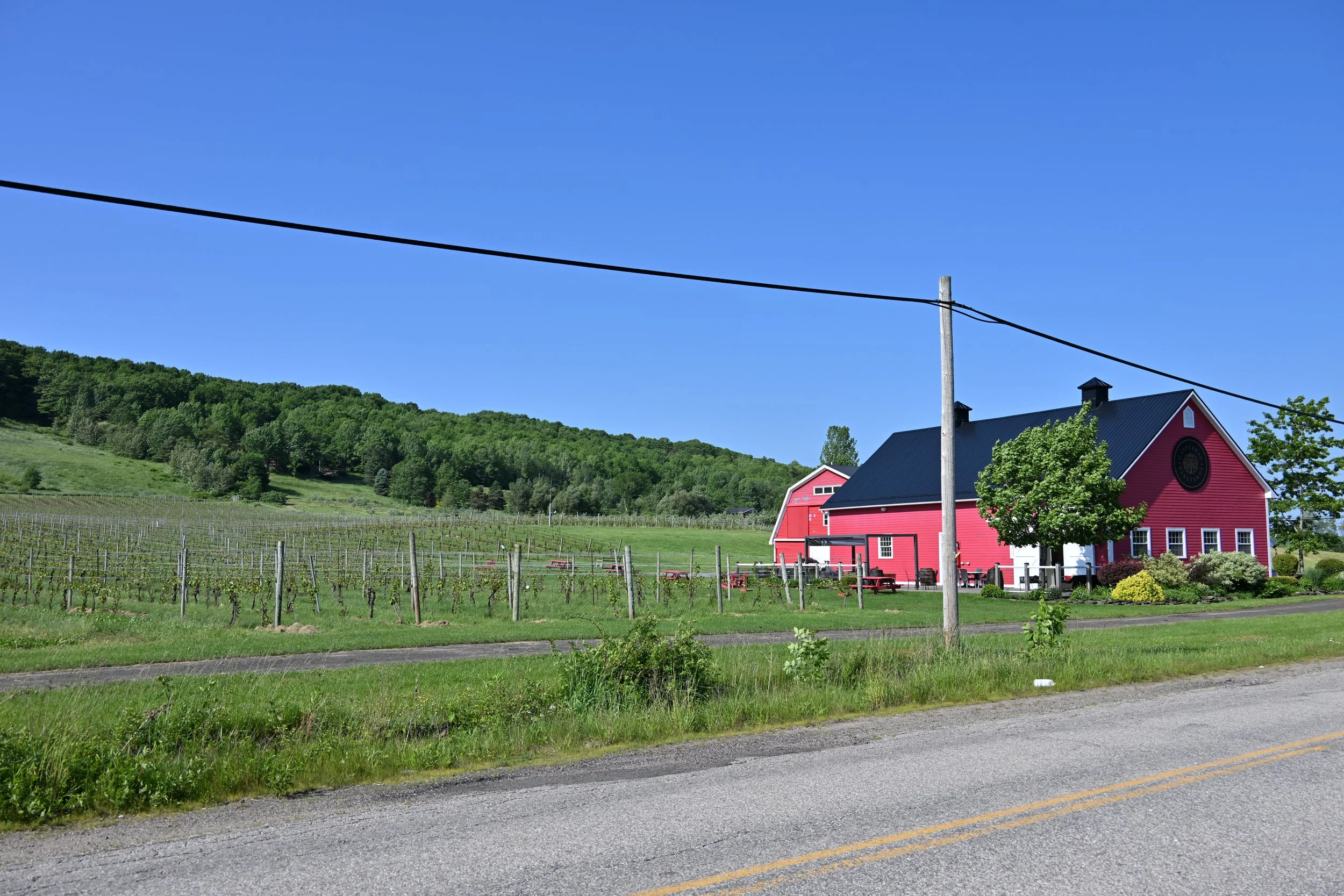
After our stay in Quebec, we headed back to the USA, passing through Ontario on our way to the Finger Lakes region of New York. We really enjoyed the Konstantin Frank winery there. After the Finger Lakes, we spent two nights at Niagara Falls, with most of our waking time in the Province of Ontario, the fourth original Canadian Province:

Crossing the Rainbow bridge to look at the falls was our first time walking into Canada, and gave us our fourth method of crossing that border in less than a year (car, plane, bicycle, and on foot).
As Lisa noted, the views of the falls from Canada were outstanding. Equally outstanding are the wineries around Niagara-on-the-Lake. Especially if you are a fan of ice wines, this is a can’t miss wine destination!
This was our first real trip to the Northeast US, and our first time in Eastern Canada. Over the course of 2 months, we drove almost 8000 miles, did a bunch of hikes, enjoyed three separate winemaking regions (of course), and took in some amazing food and scenery. We’d definitely recommend taking a look at these destinations!