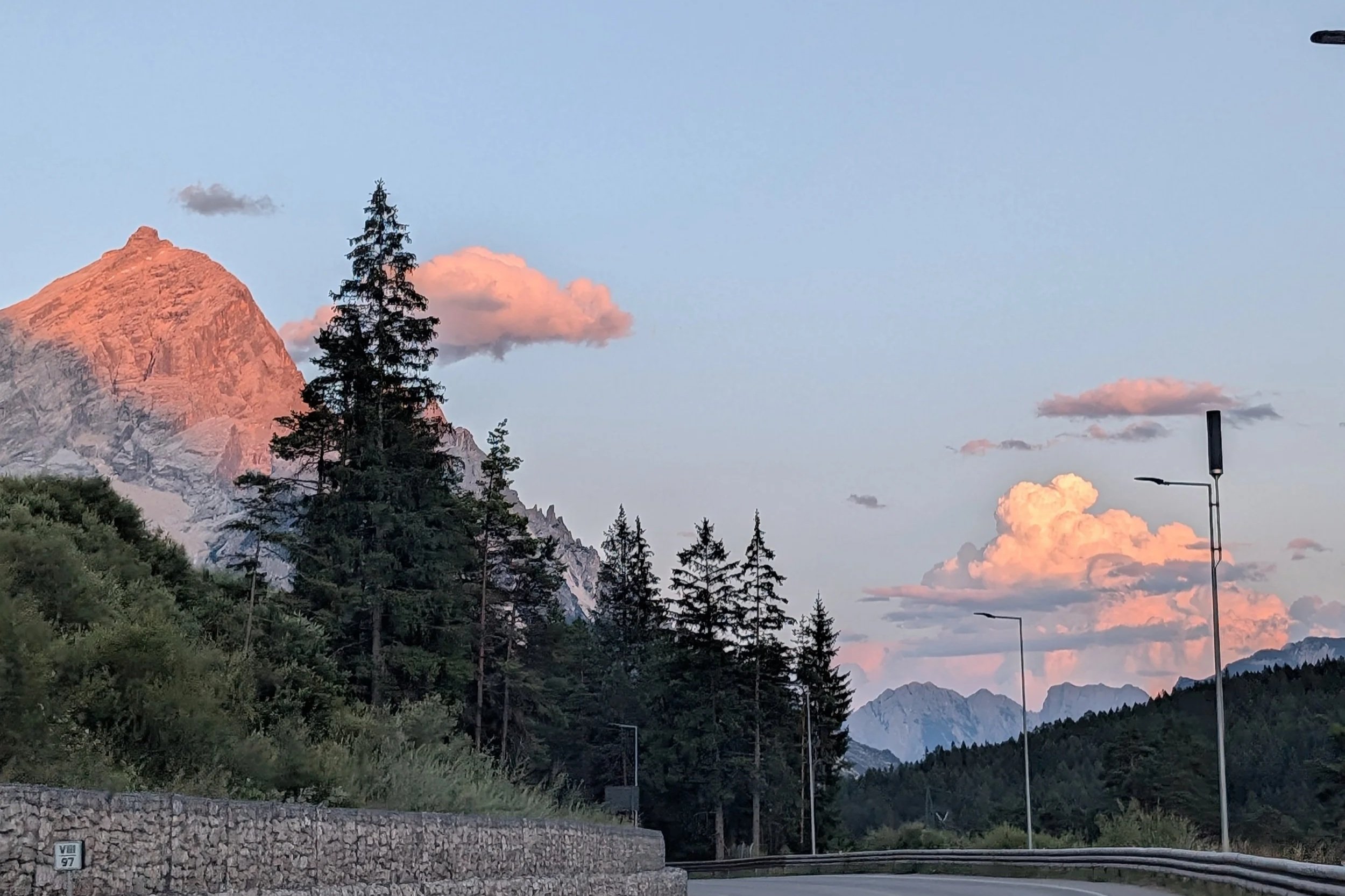
Out of the Dolomites and finishing on Lake Garda
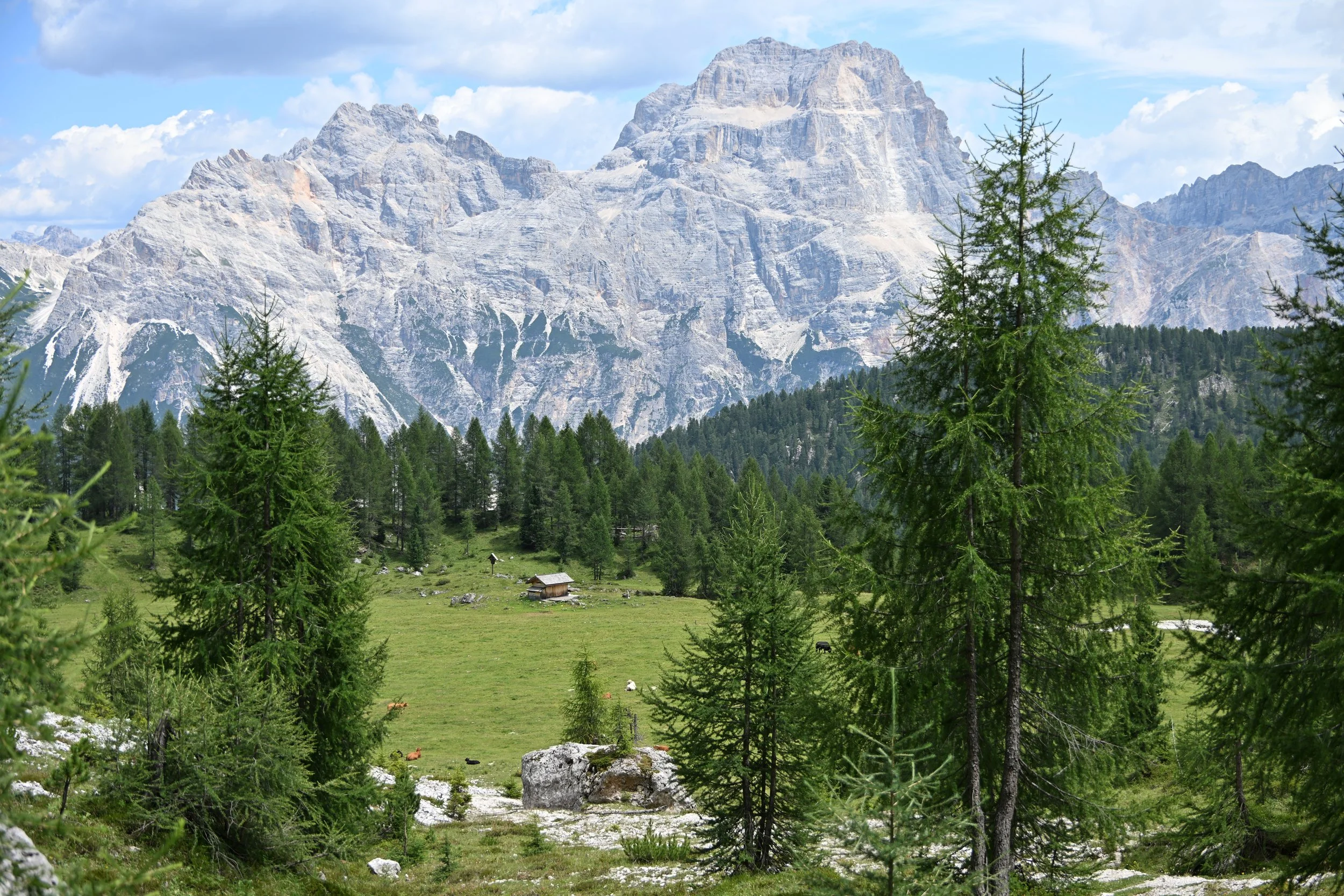
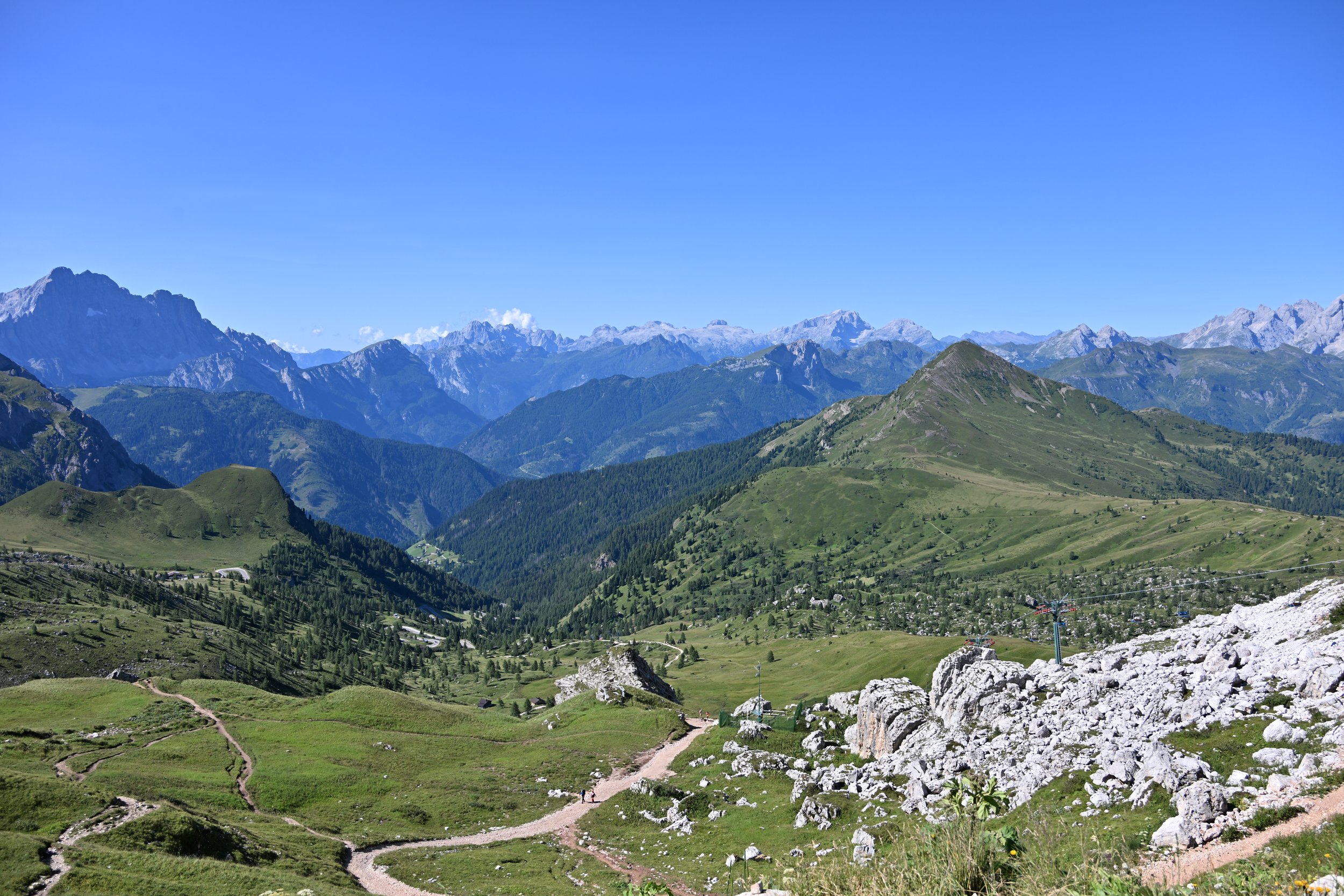
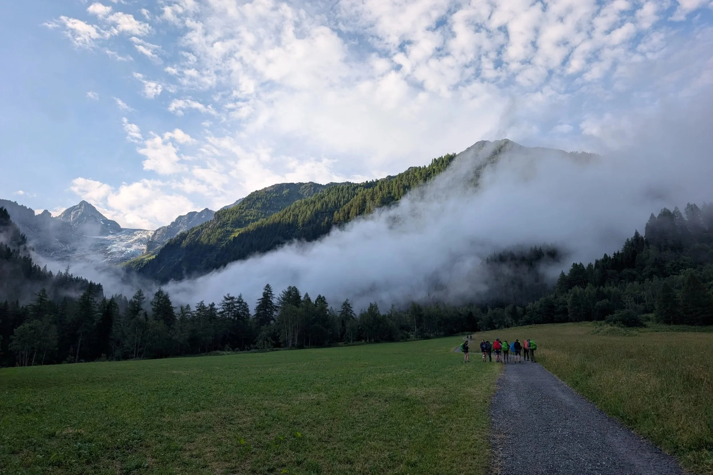
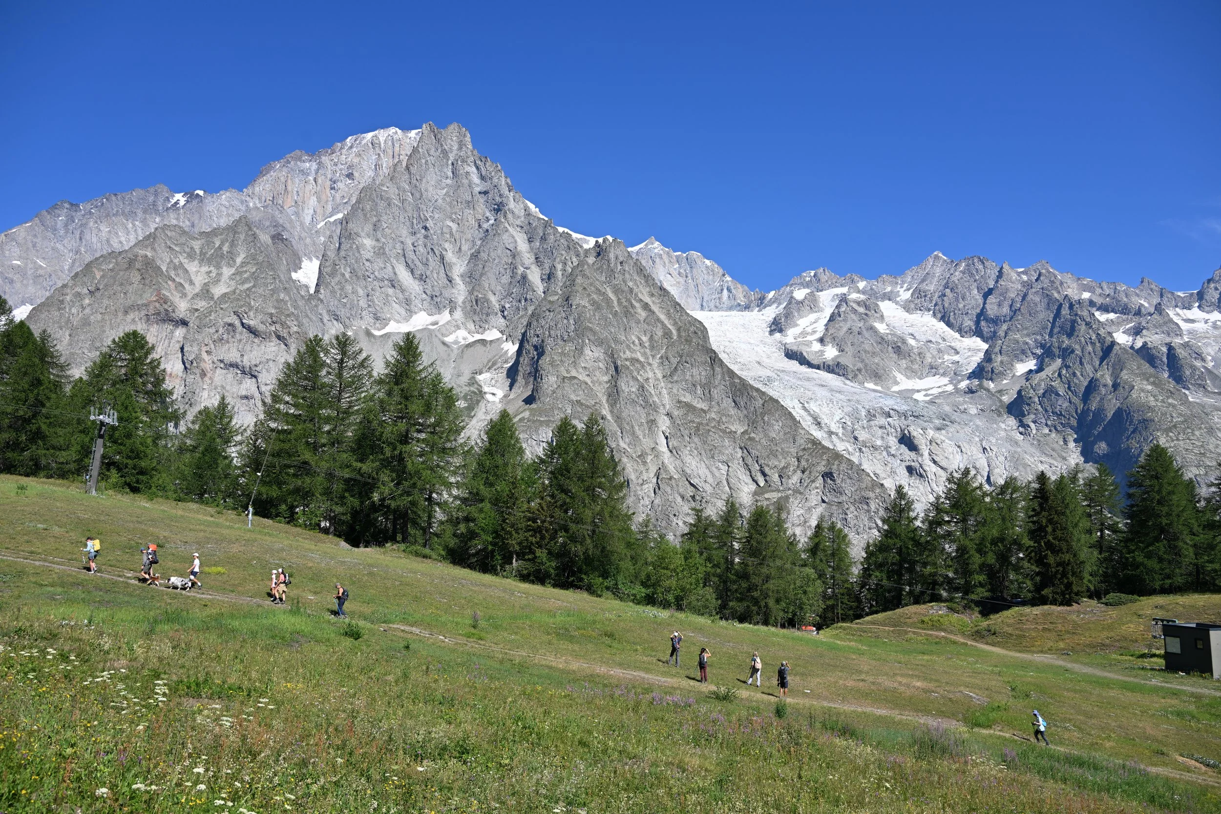
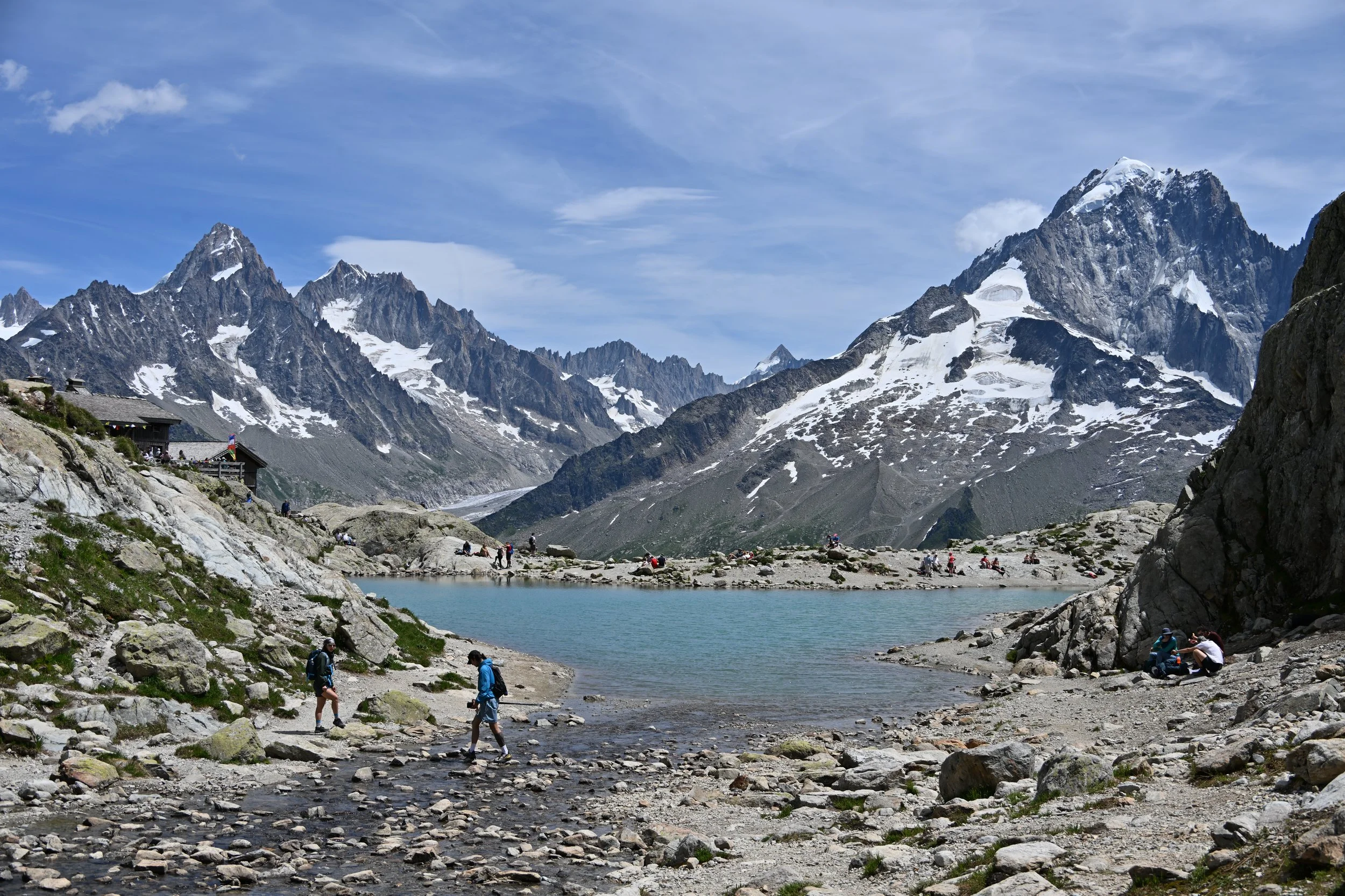
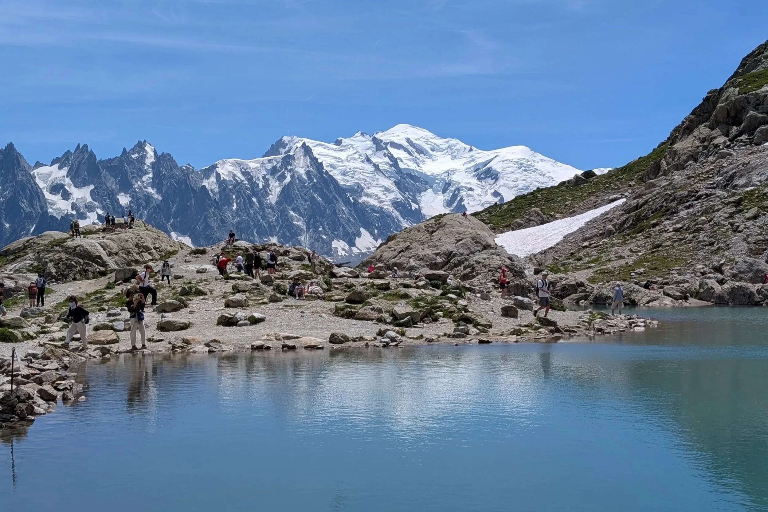
We had driven out early for a hike to a lake, but even getting there at 0800, all parking was full and there were huge groups walking along the road to the trailhead. We decided we had seen enough Alpine lakes (with crowds of people), so we pivoted to Plan B - take a series of three gondolas…
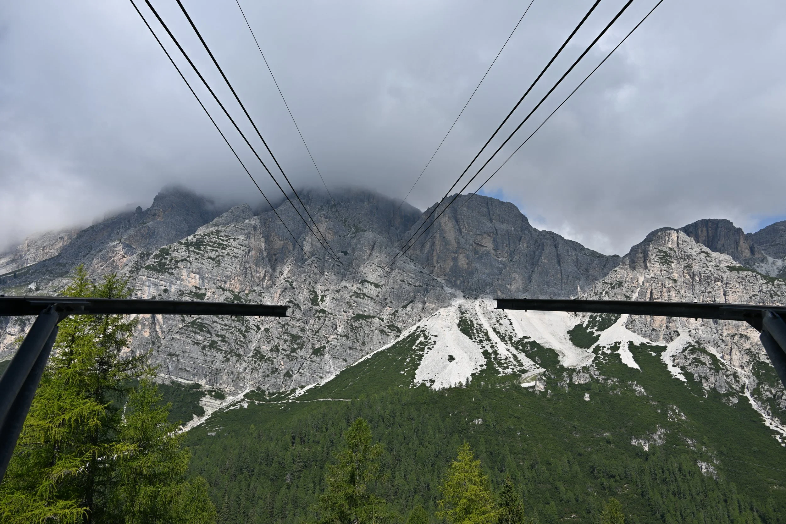
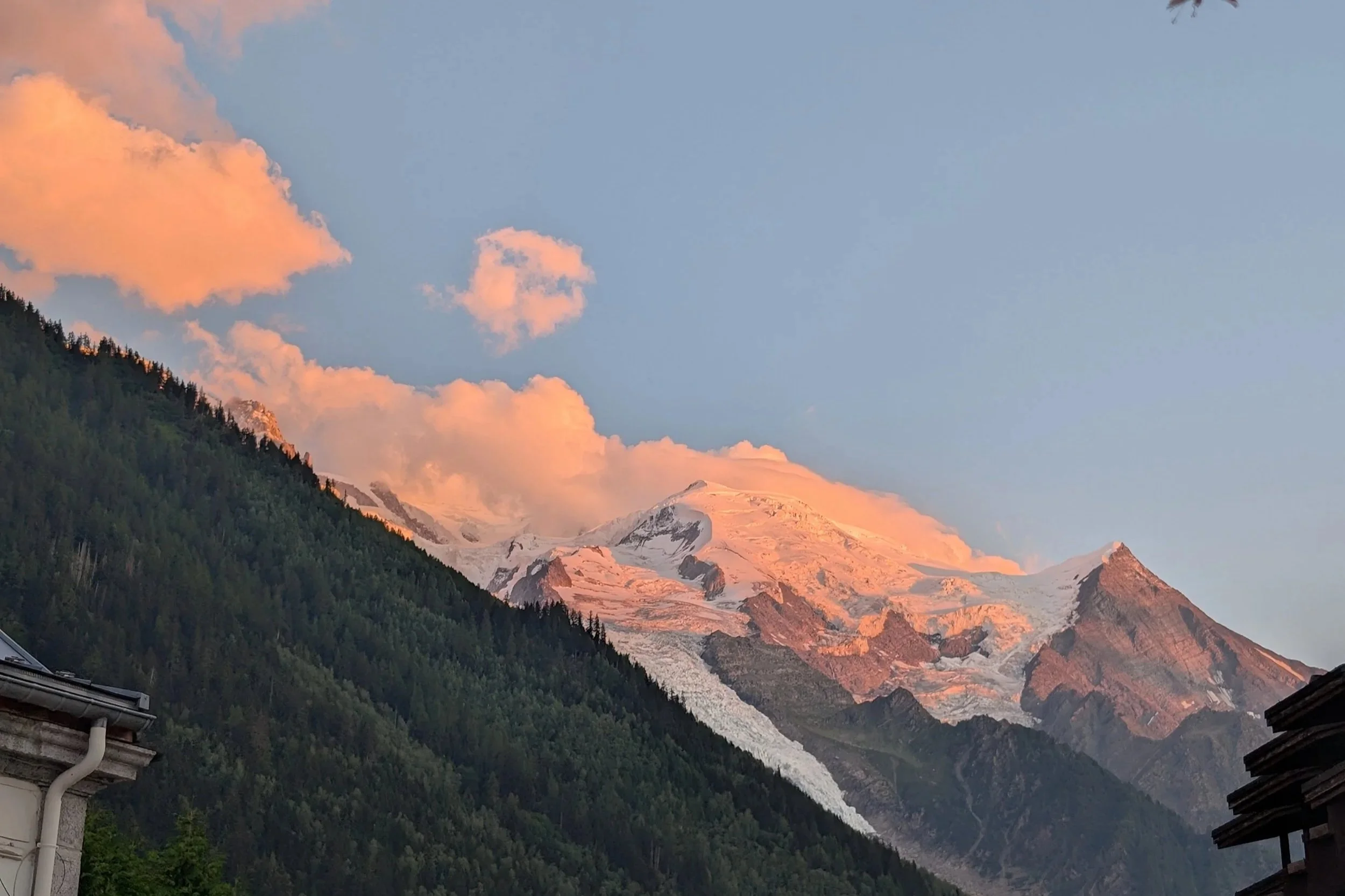
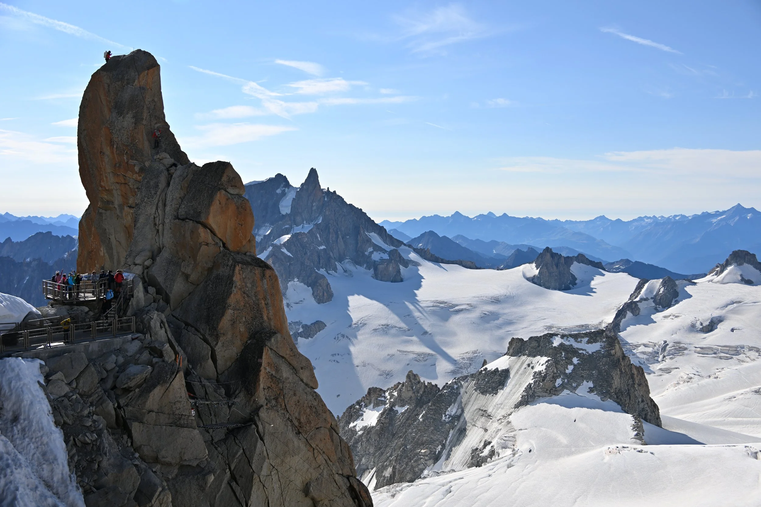
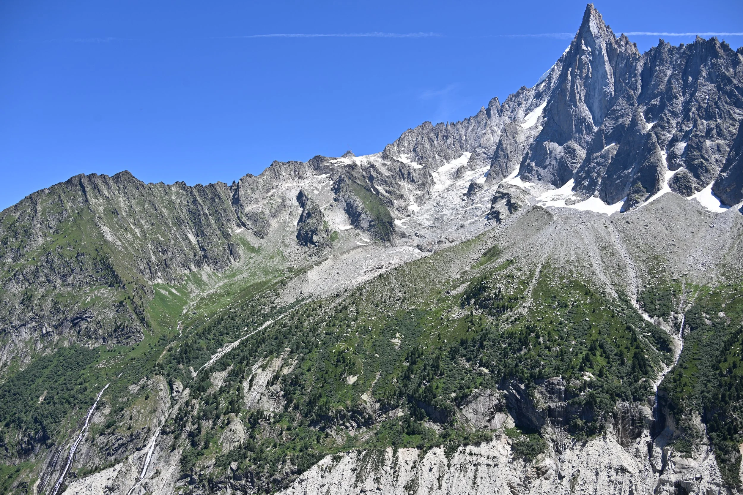
… up to Tofana di Mezzo, a 10,600+ ft mountain overlooking Cortina. And yes, our Plan B wasn’t perfect because there were clouds. (eyeroll) -
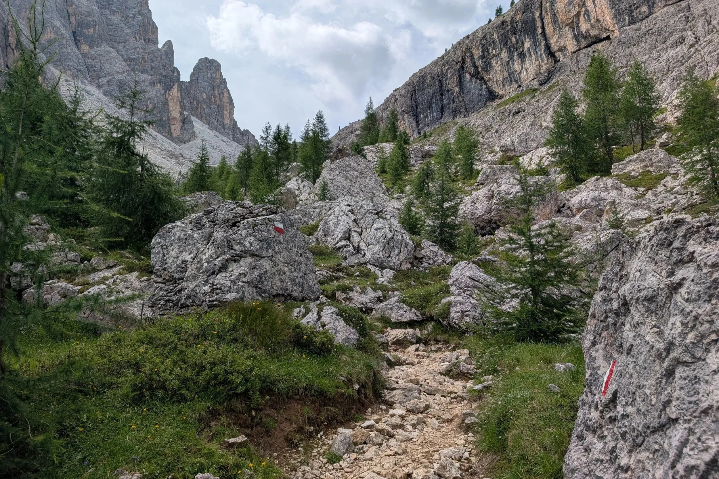
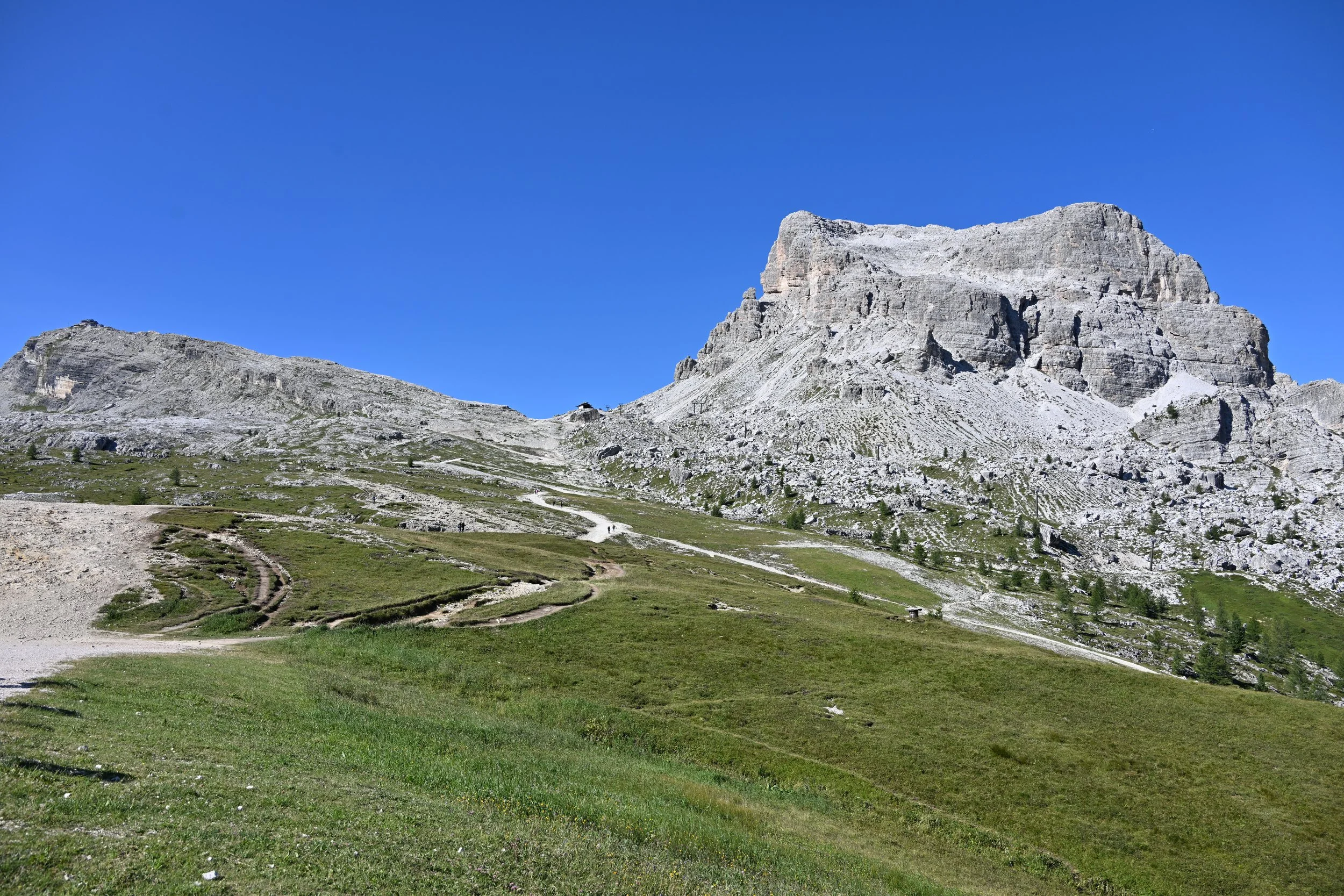
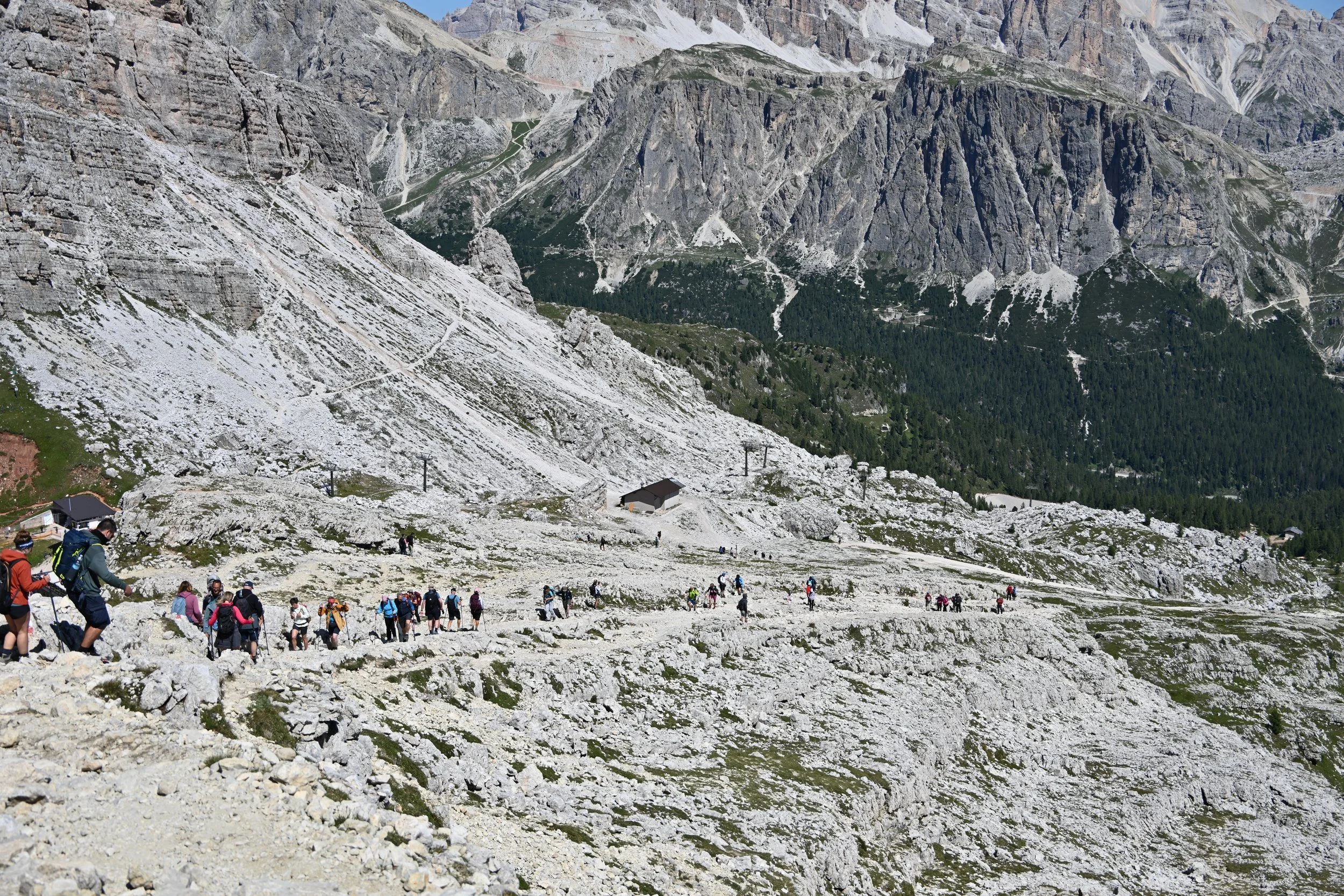
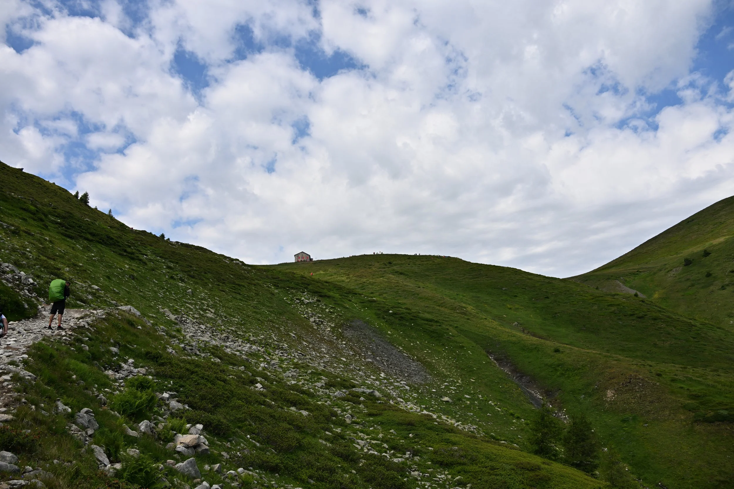
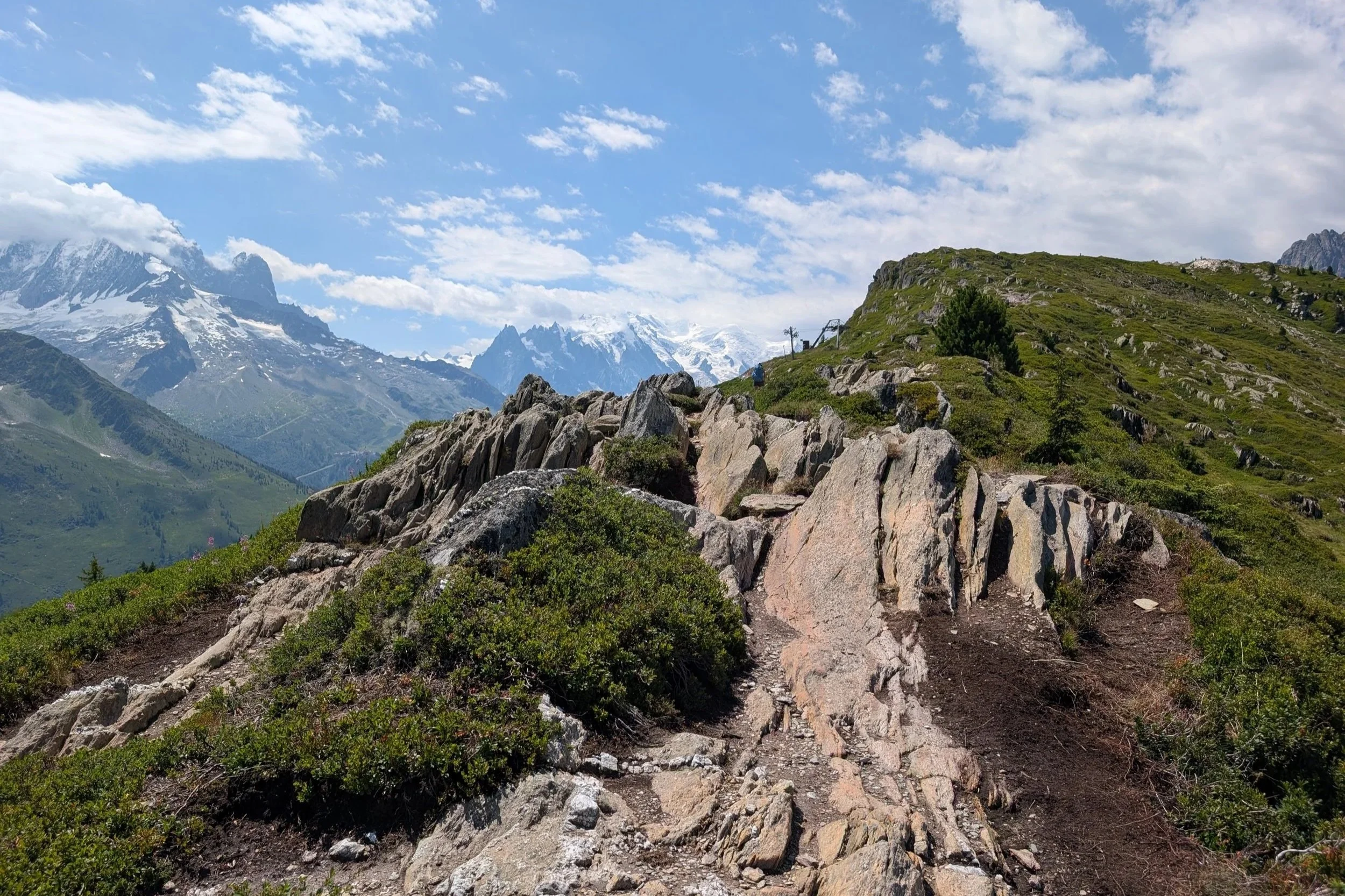
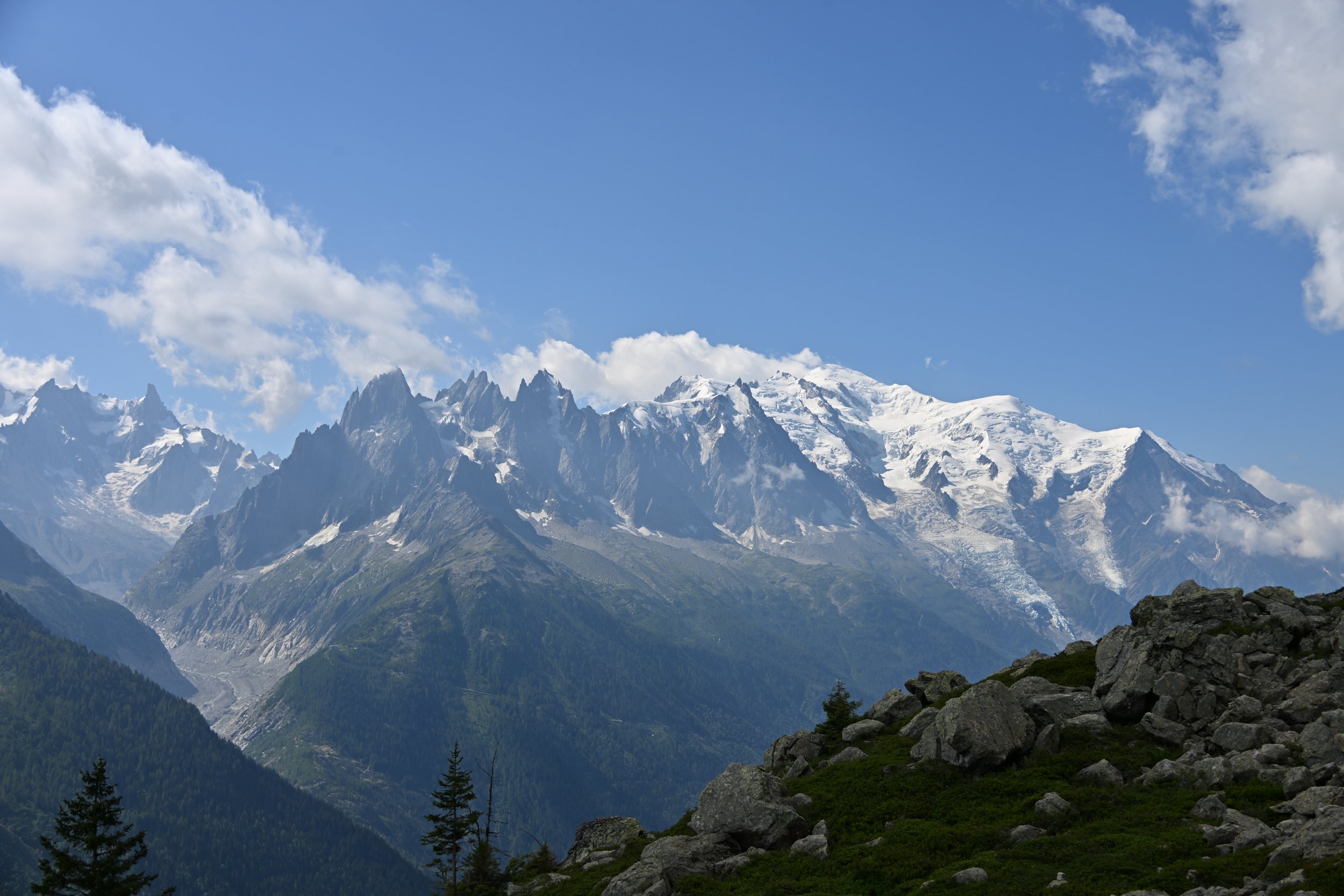
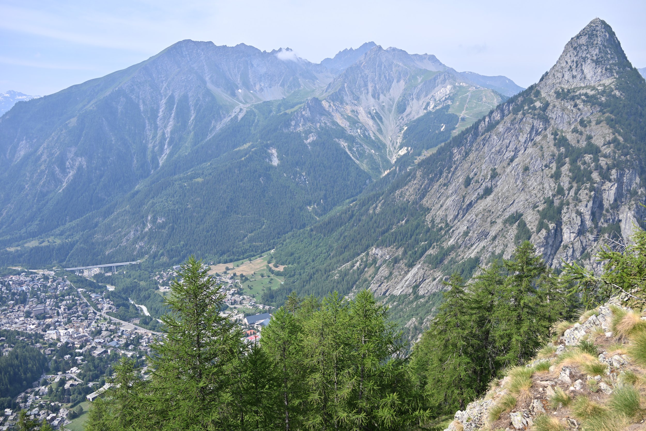
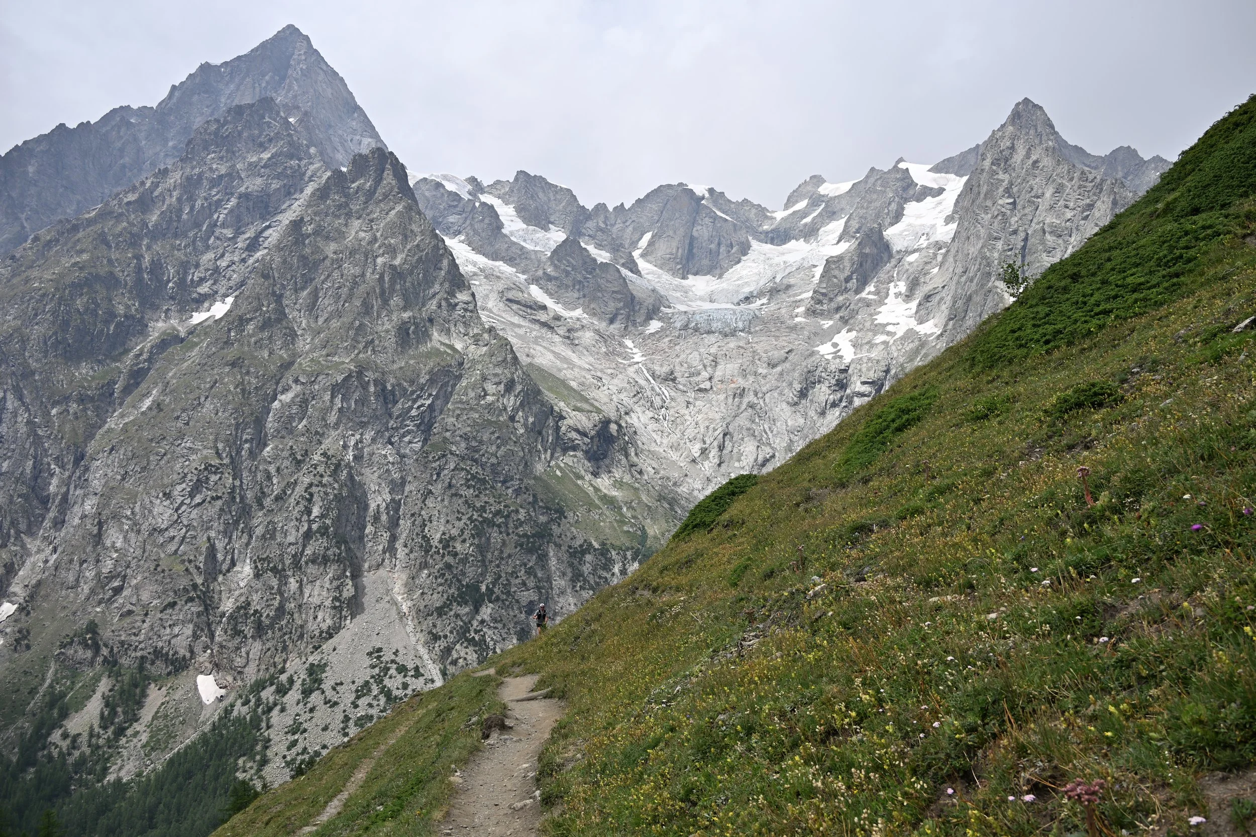
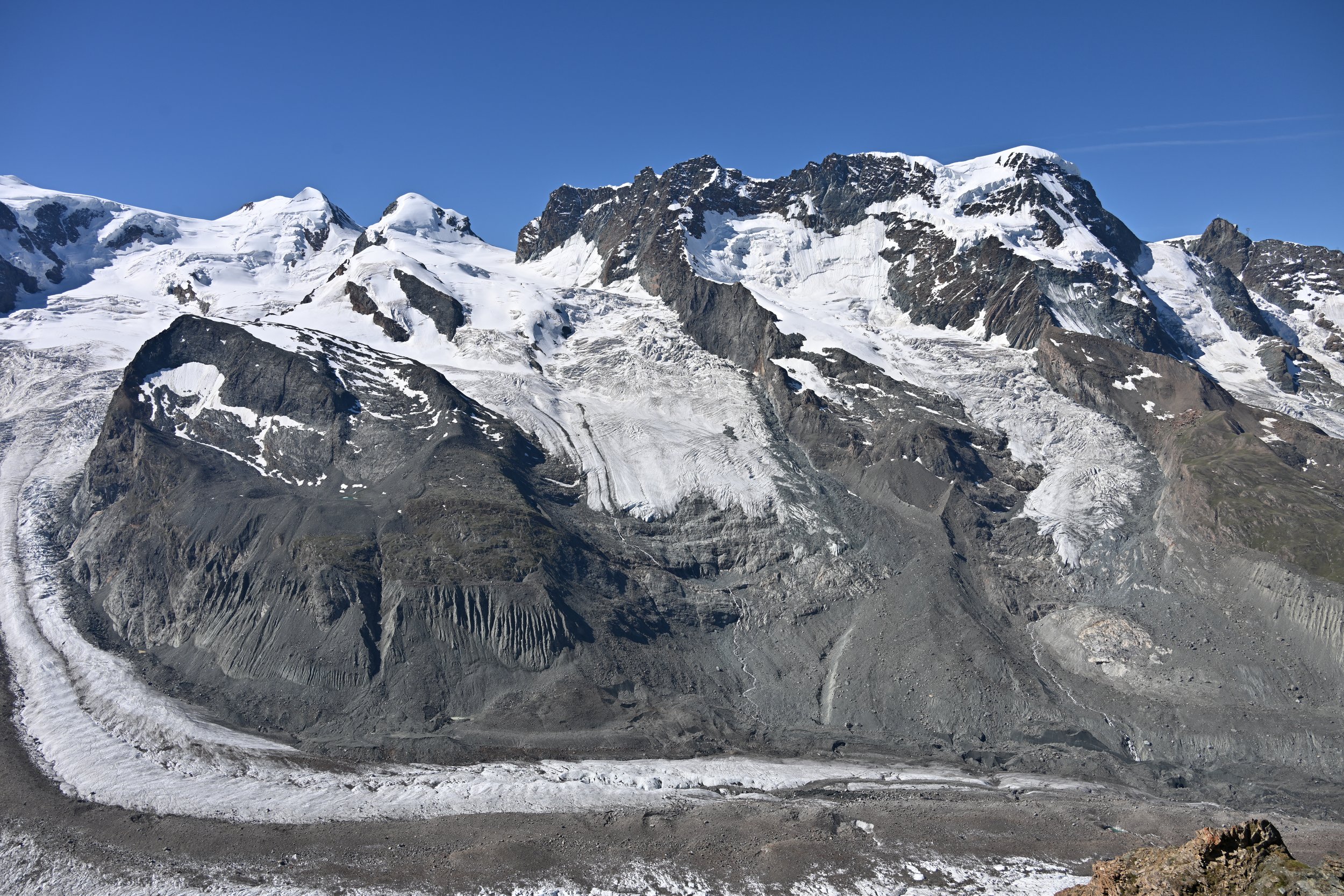
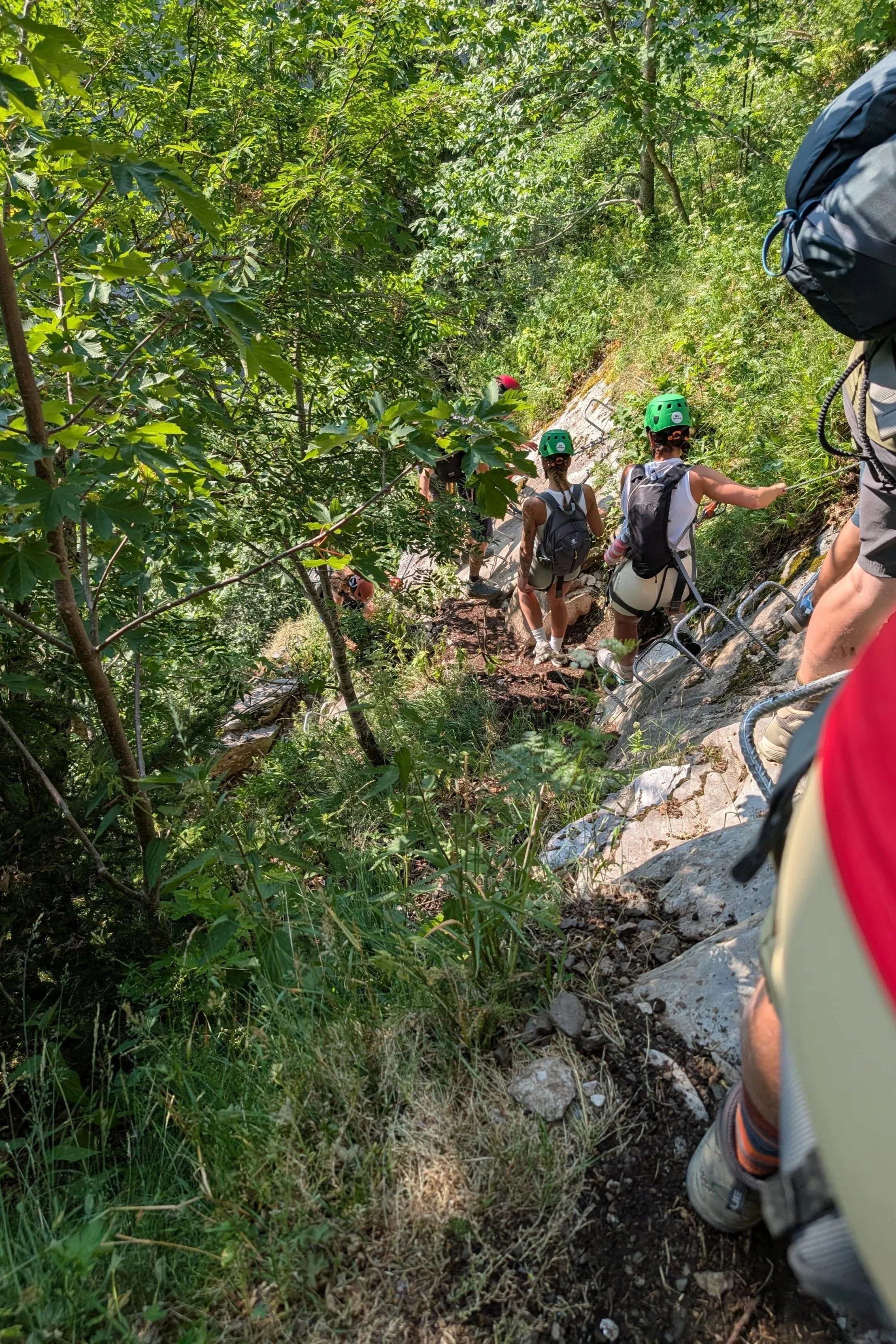
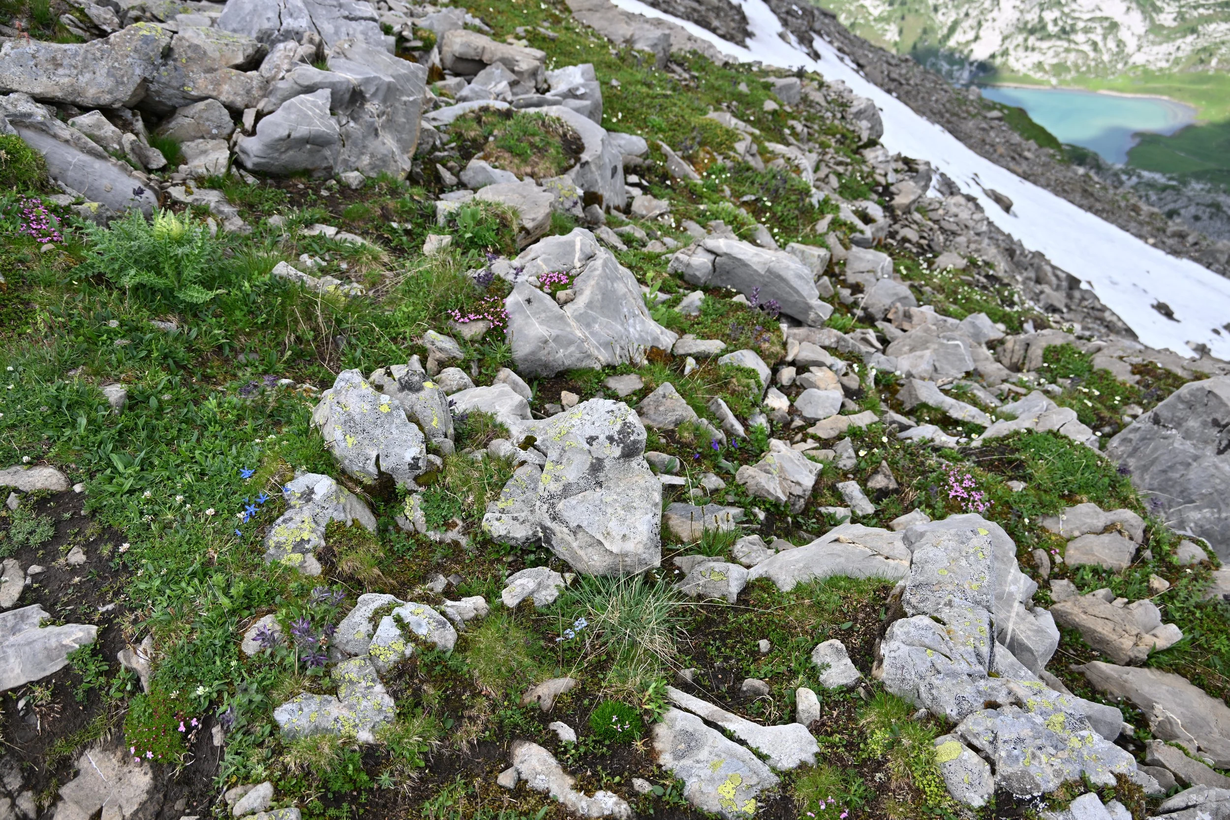
The path to the top was clear…
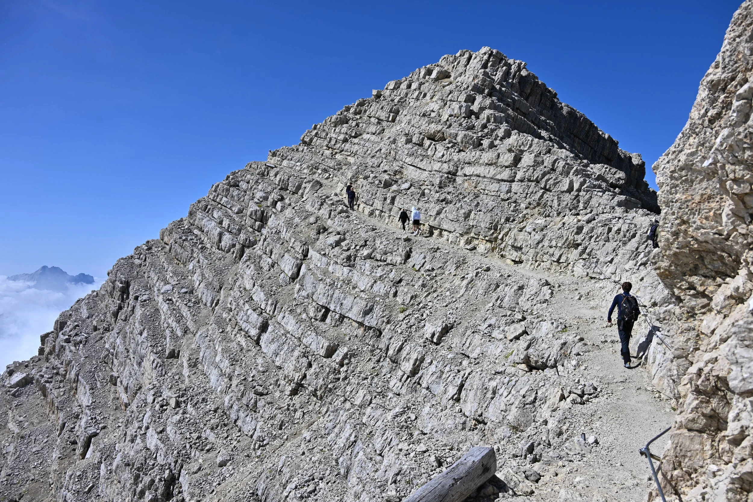
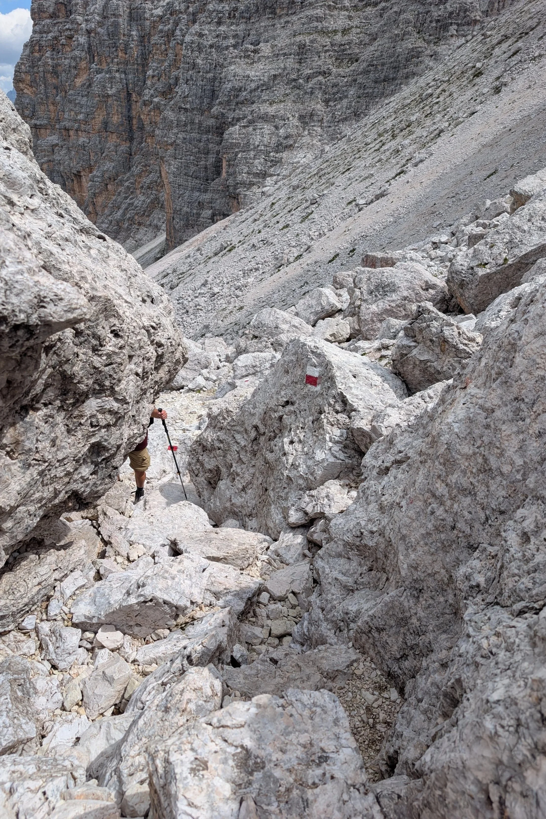
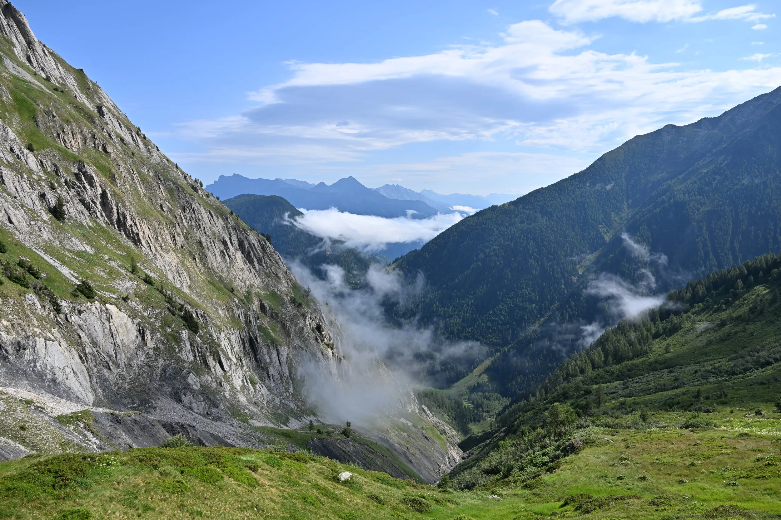
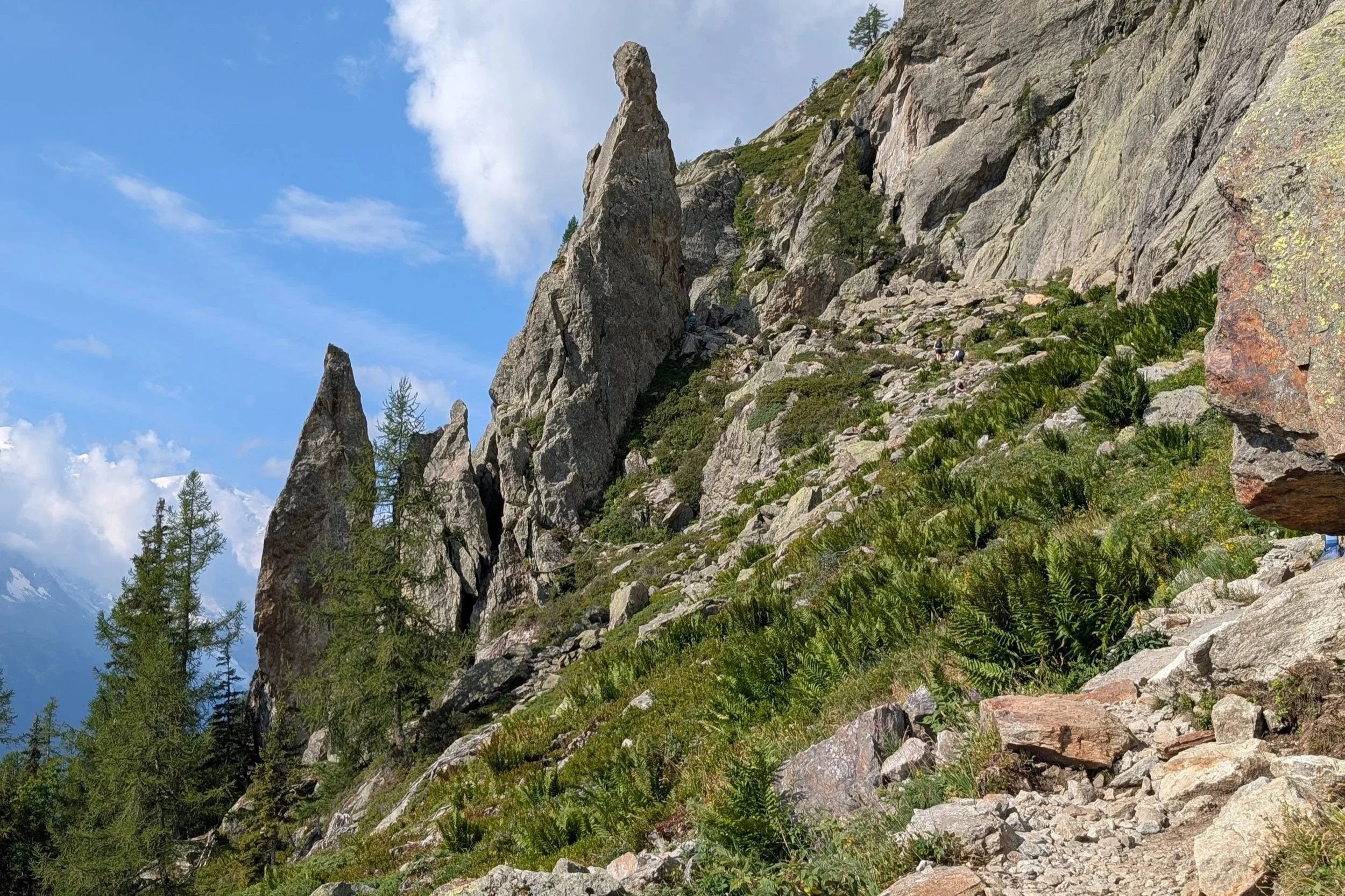
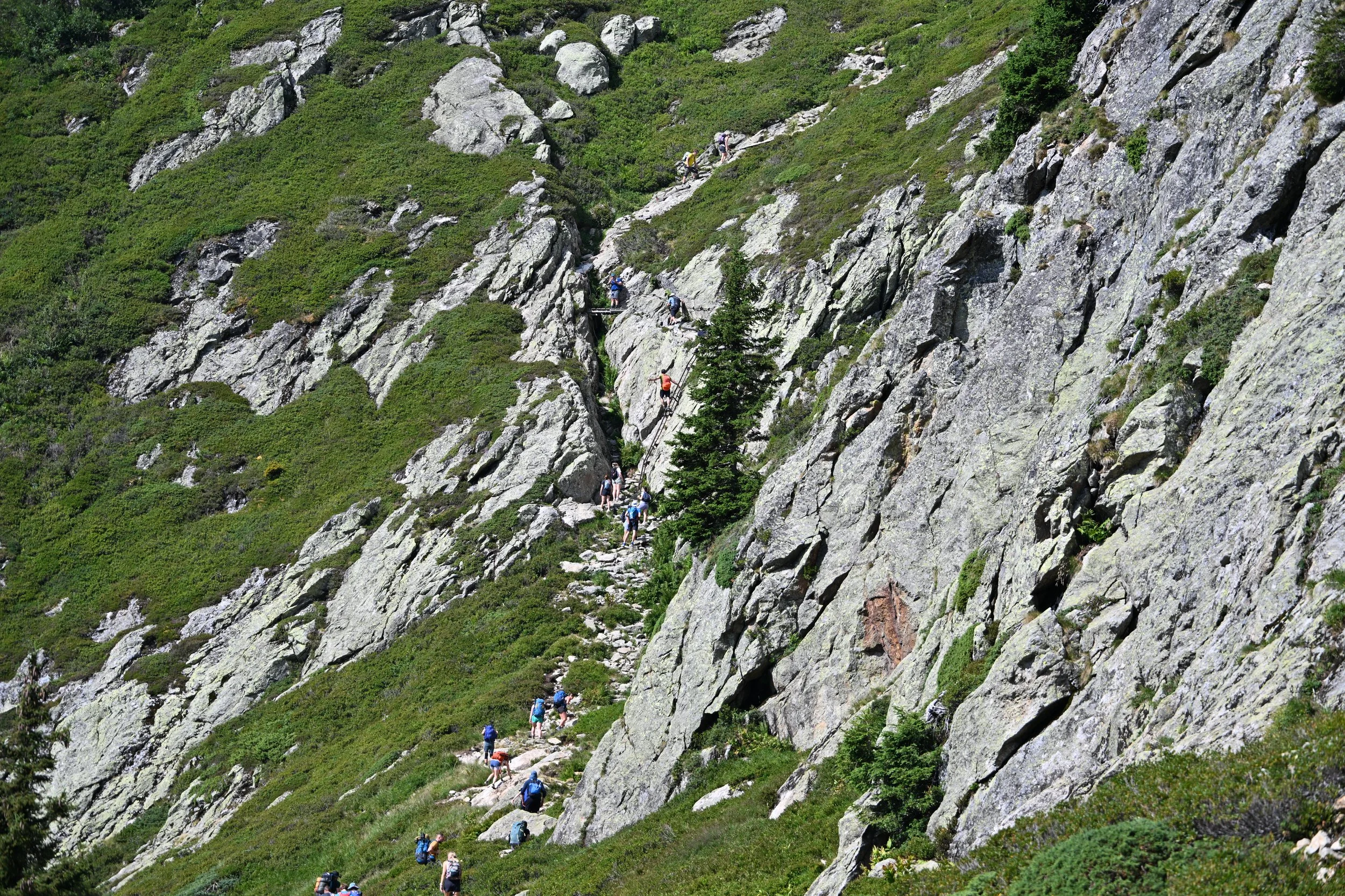
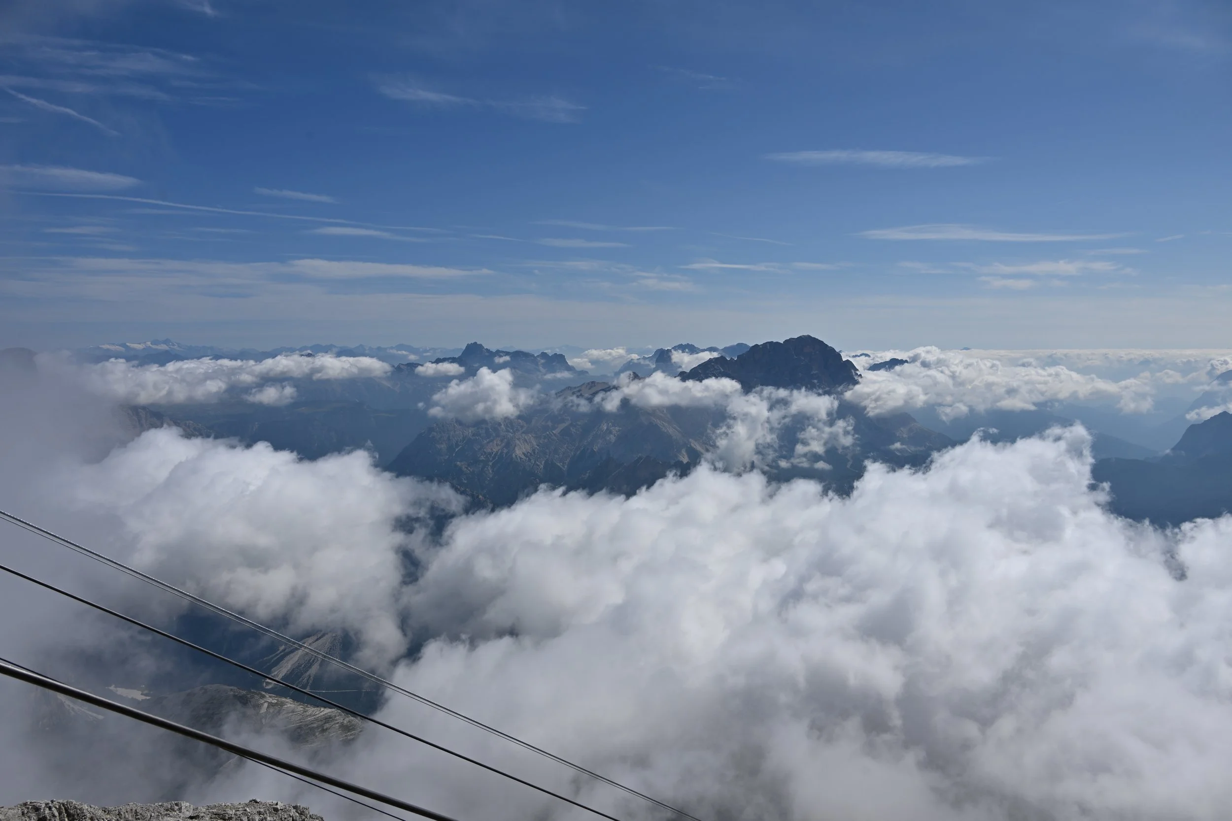
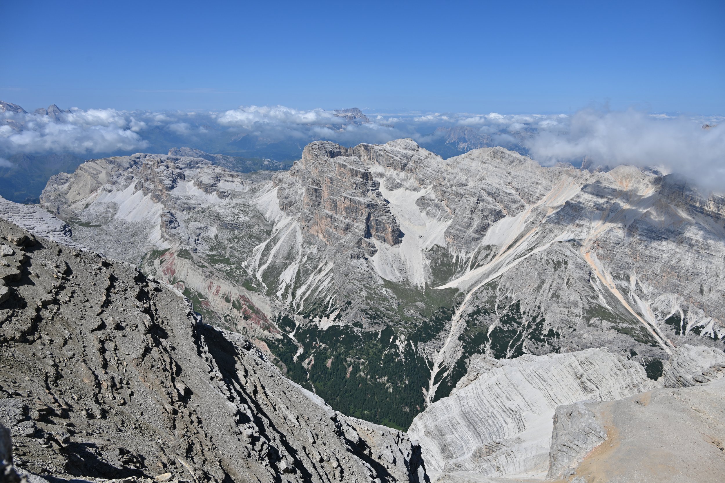
… but because we had ascended quickly in the gondolas, the altitude affected me and had me feeling a little dizzy. It was very strange for me to not feel comfortable walking along a ledge, but now I know how others must feel on heights -
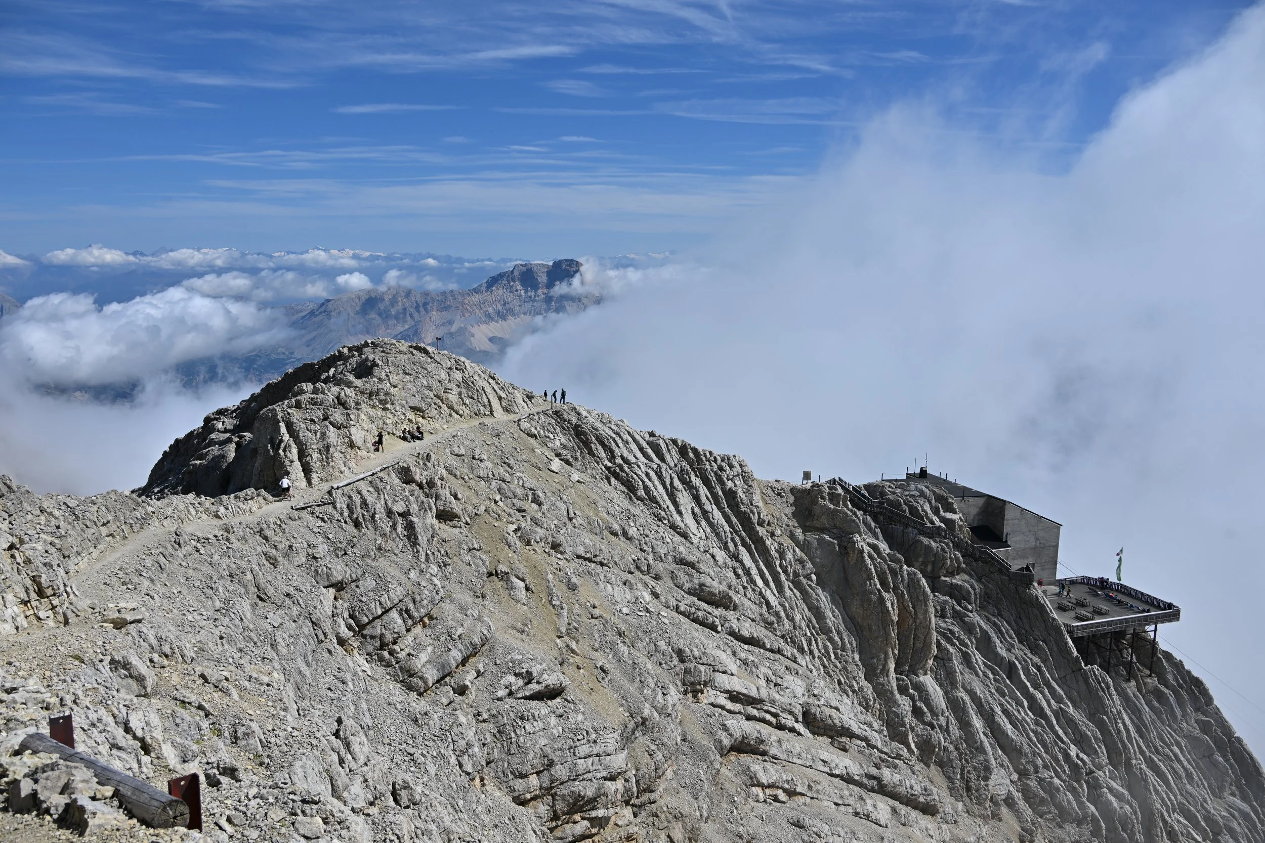
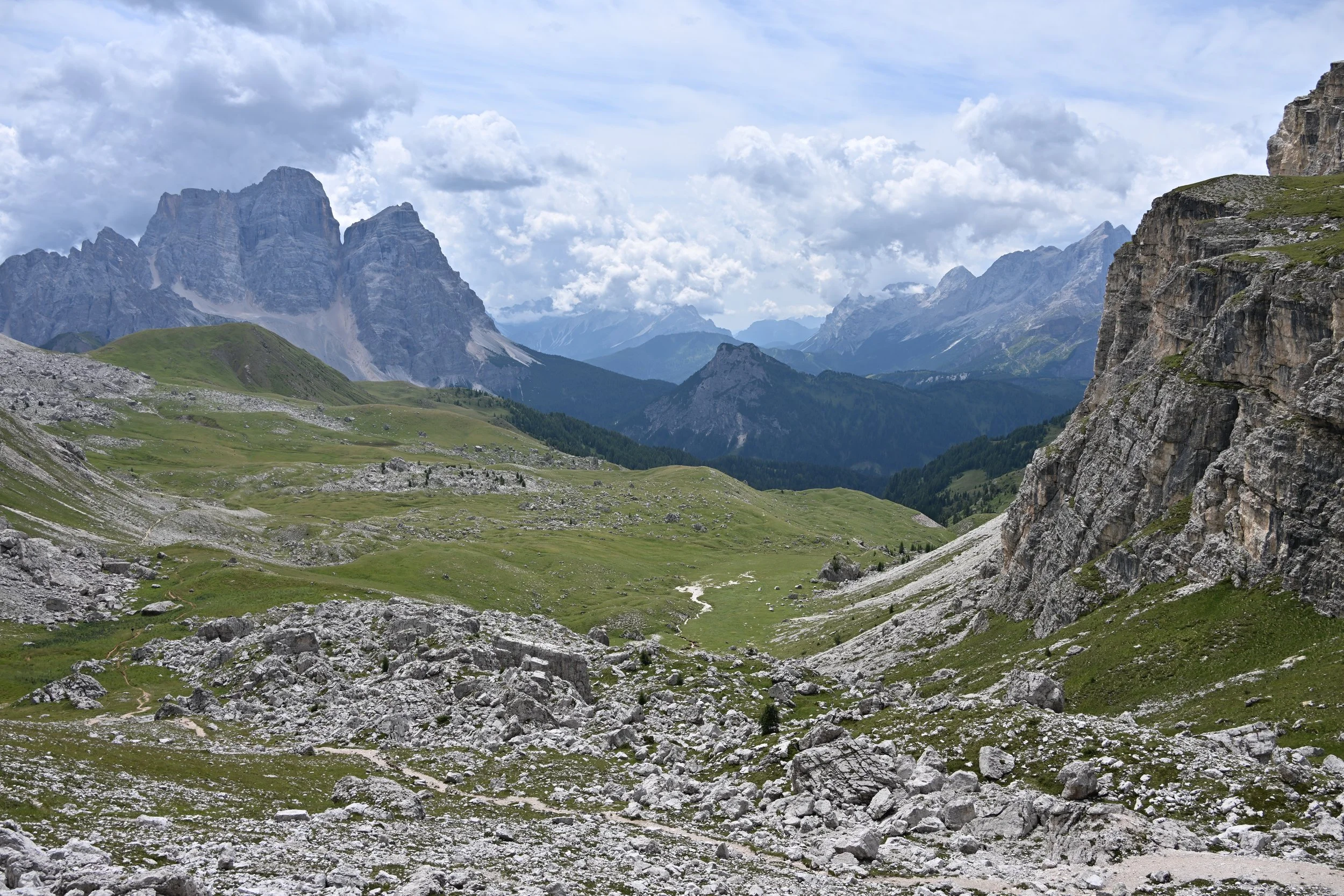
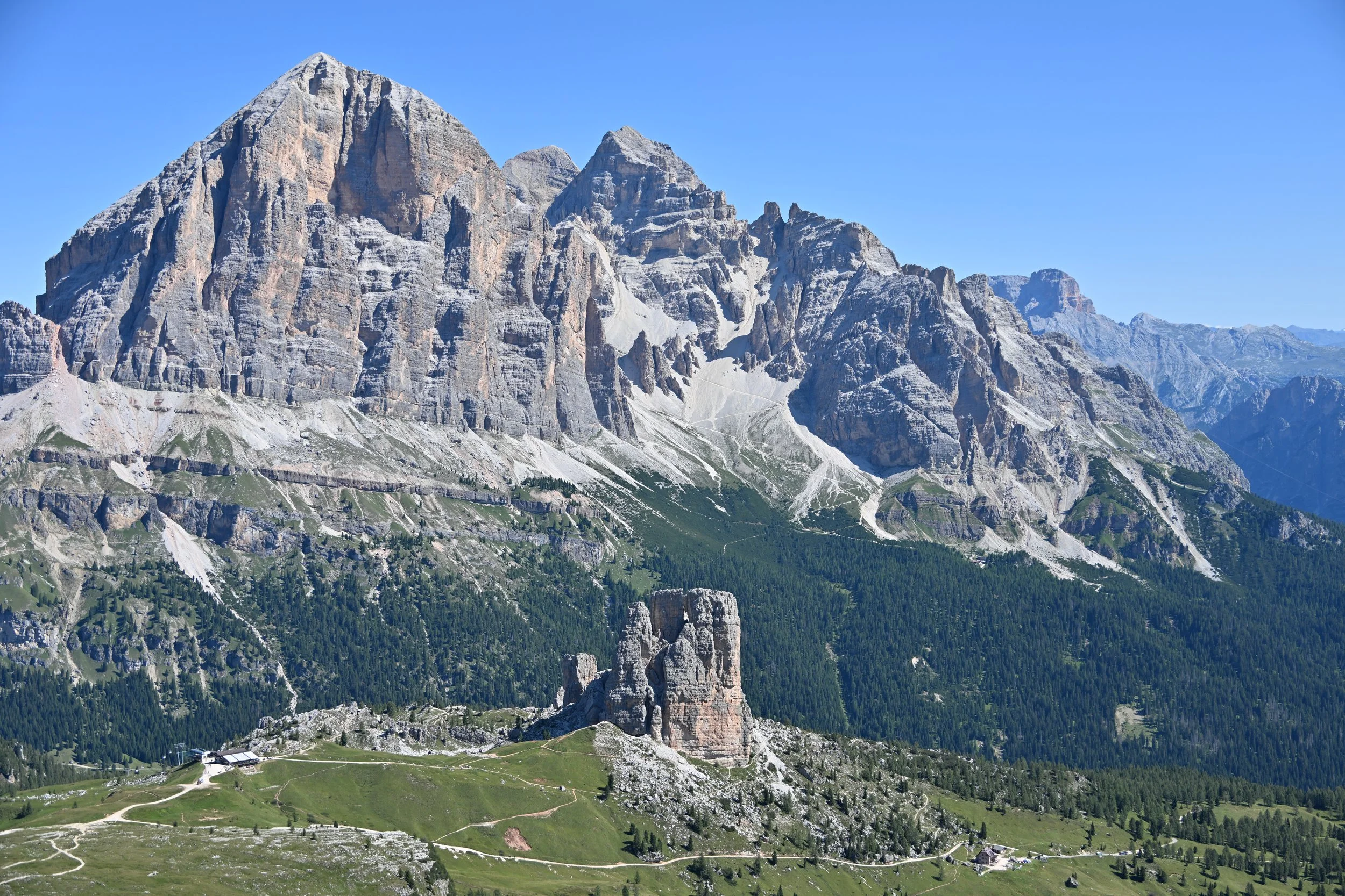
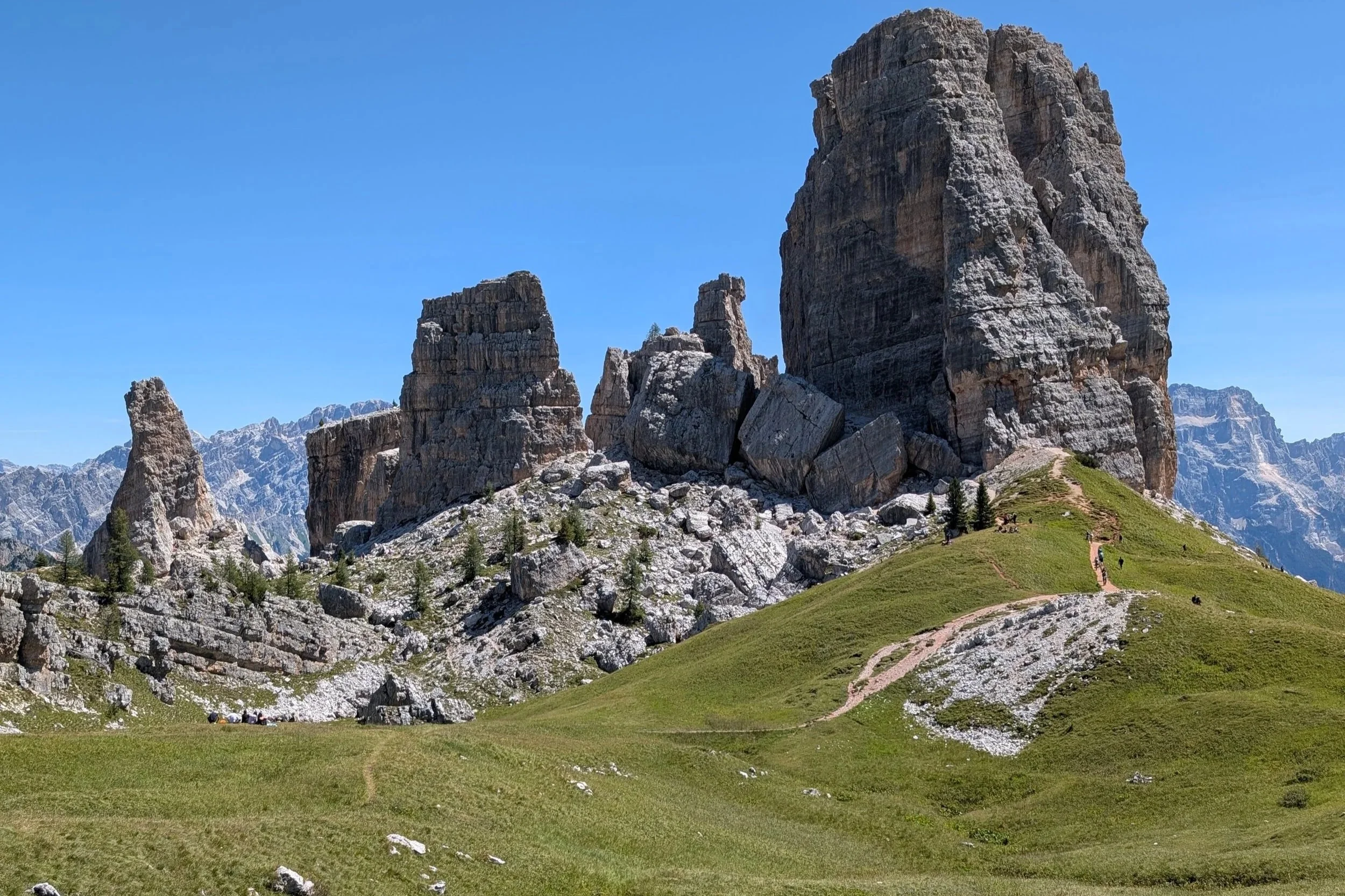
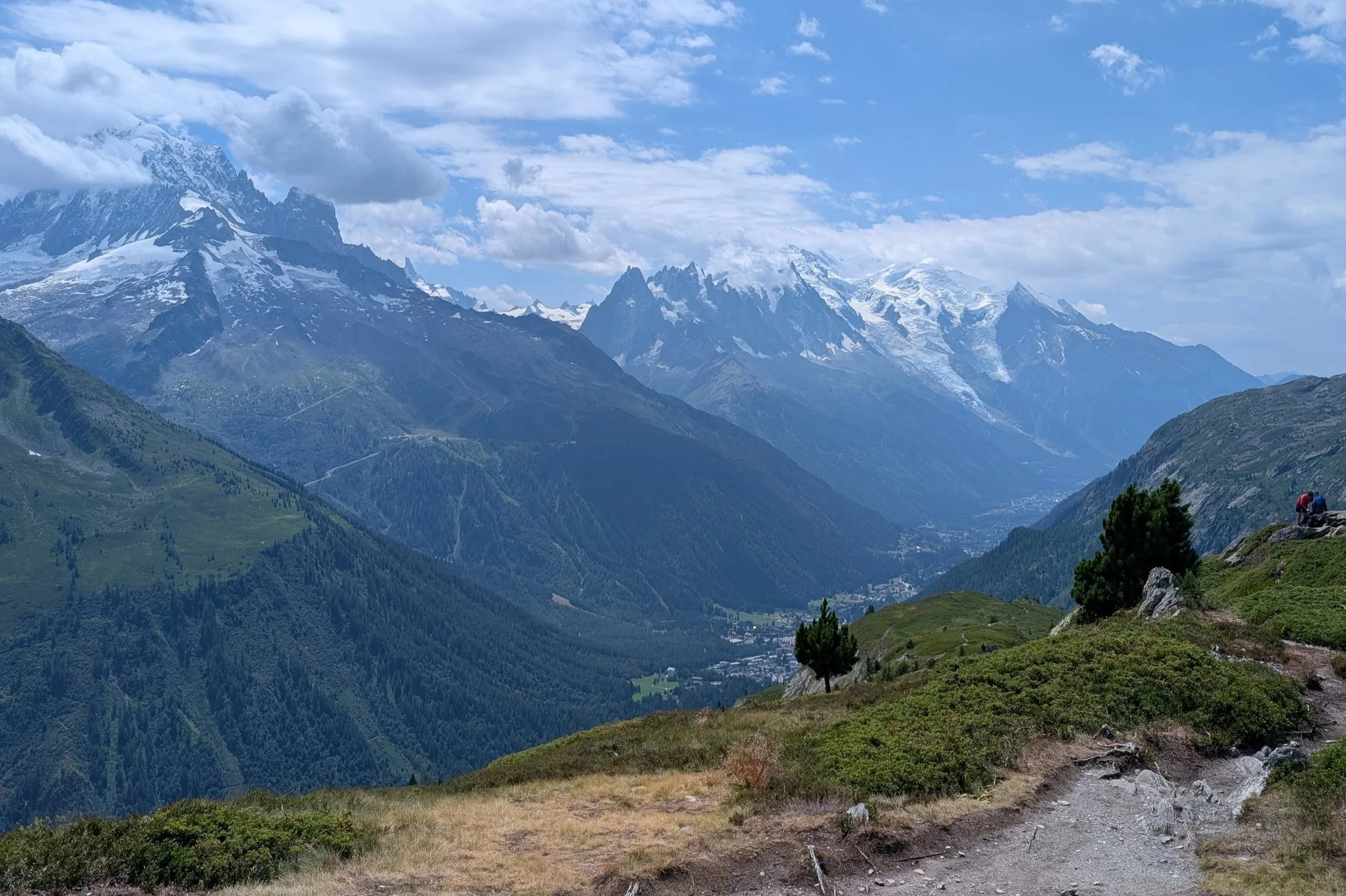
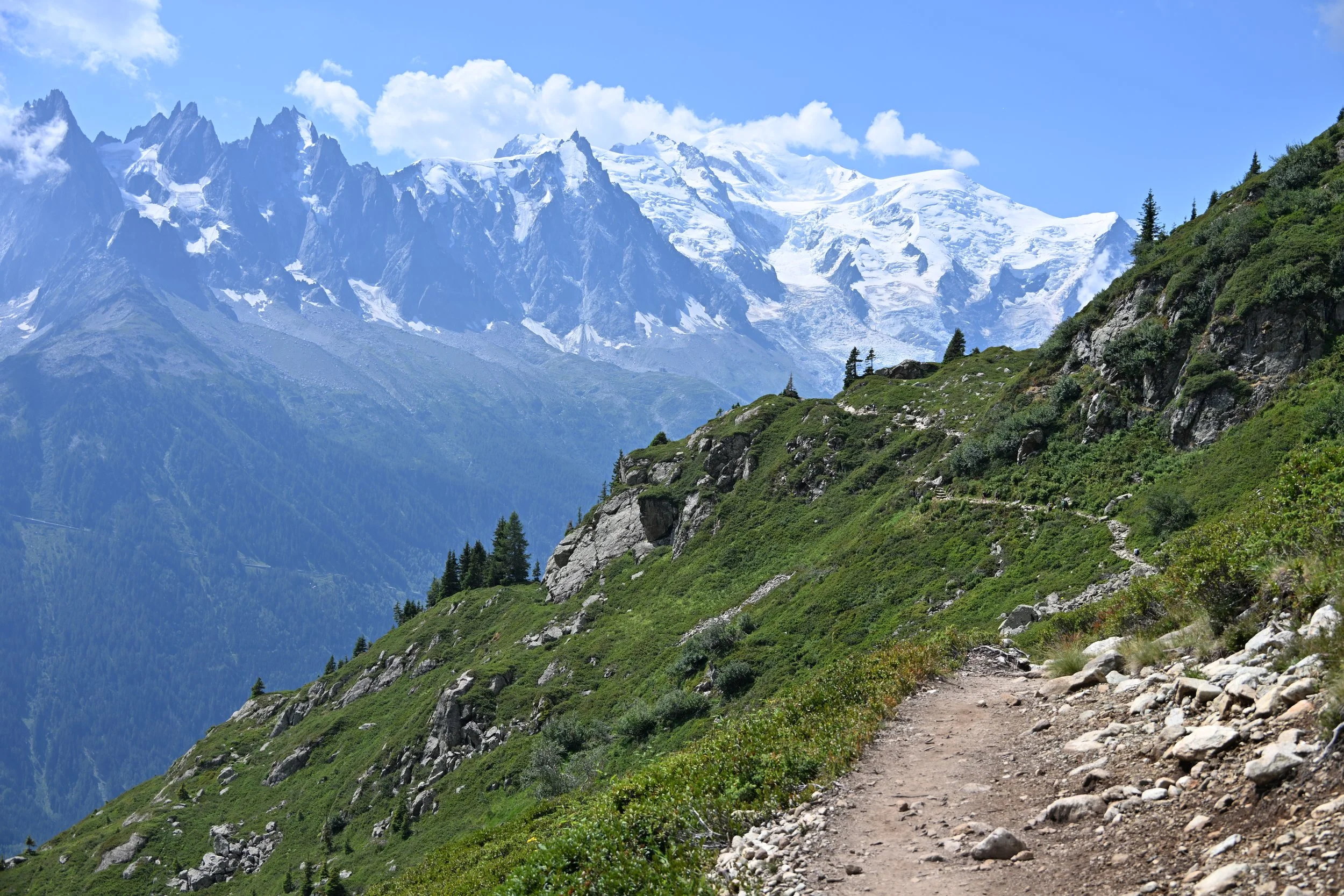
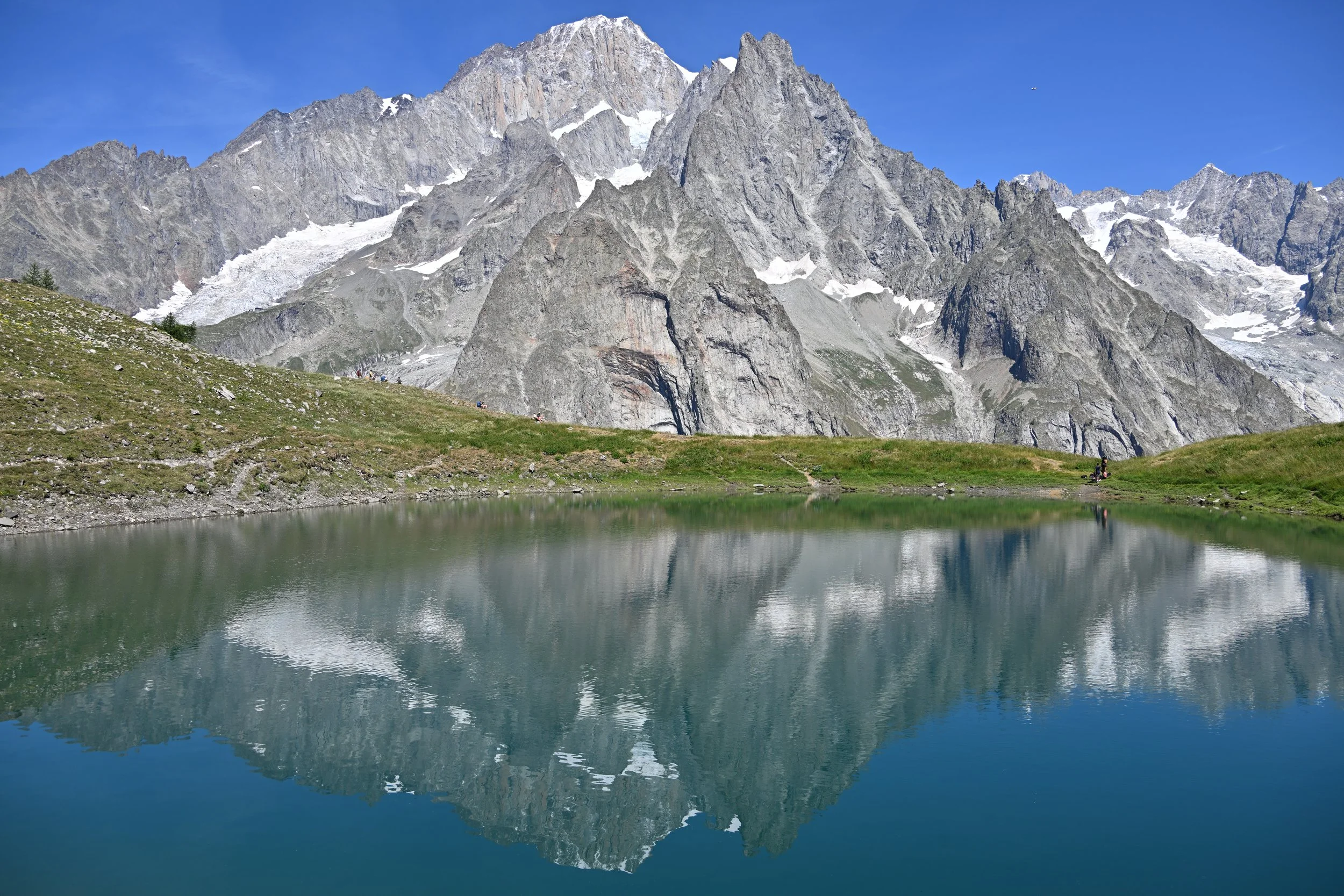
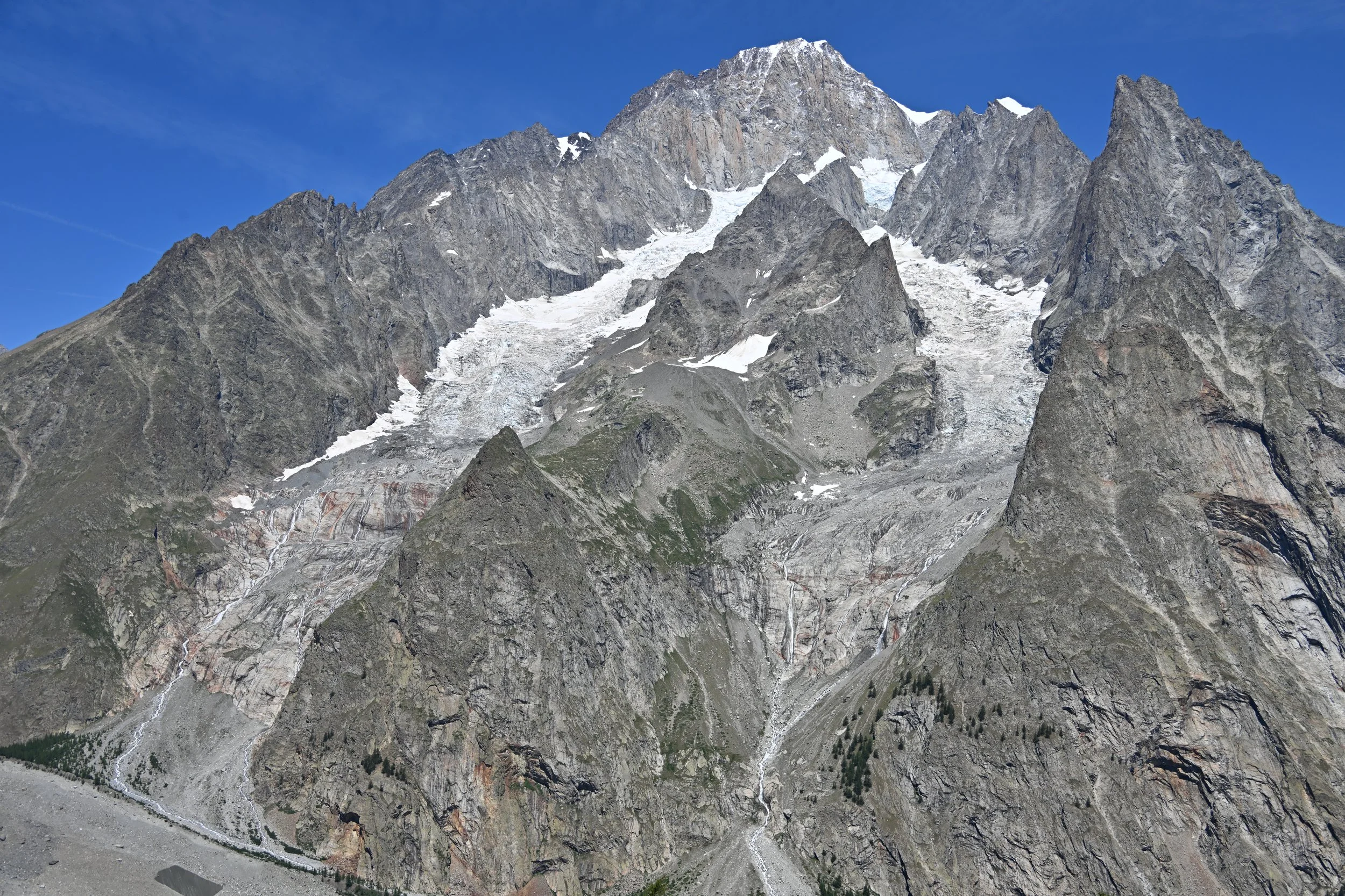
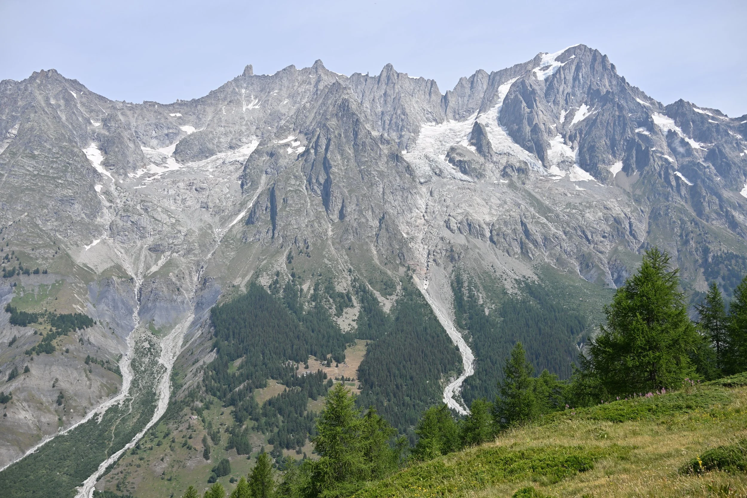
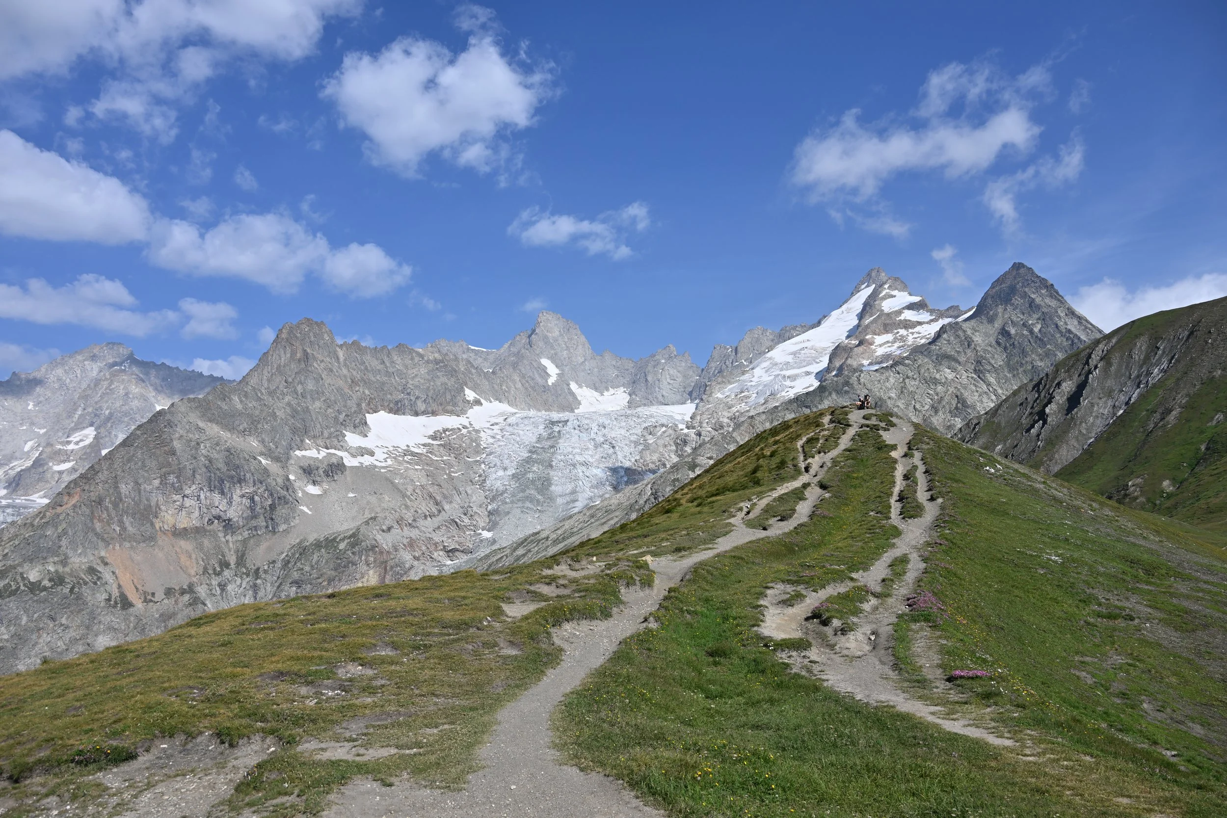
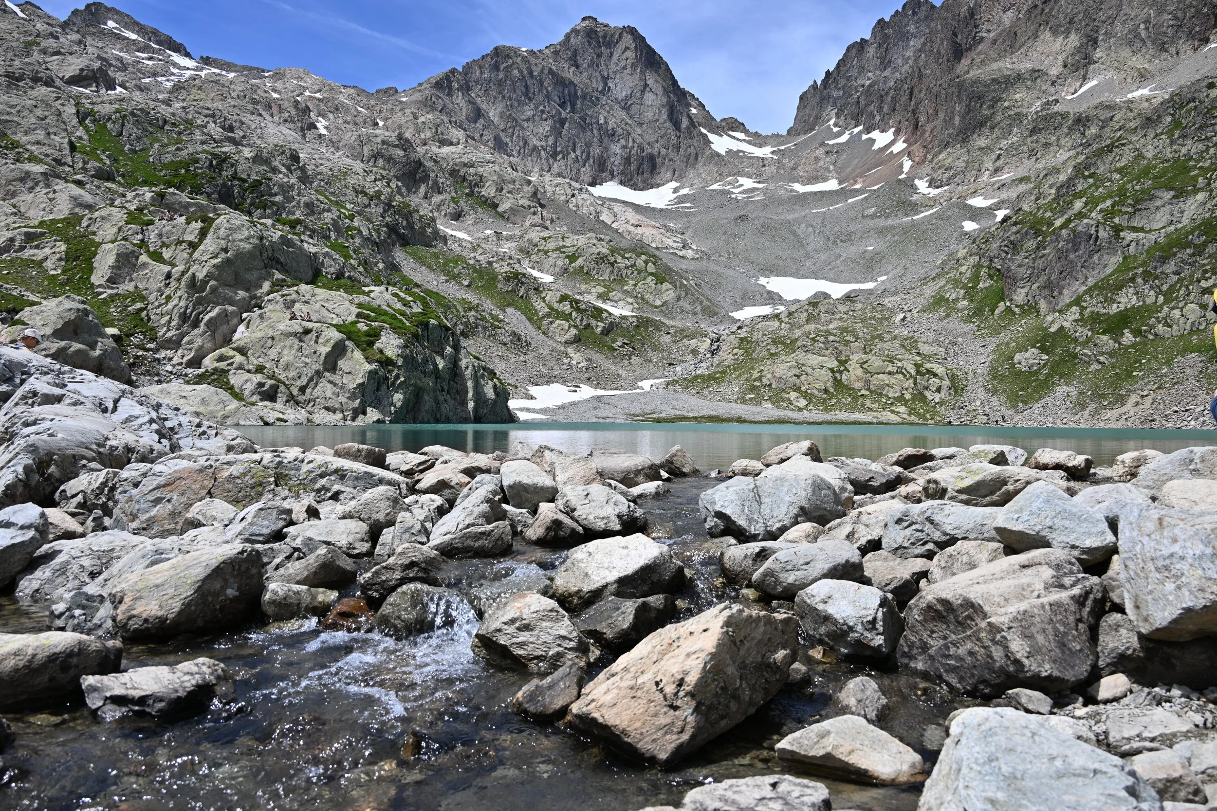
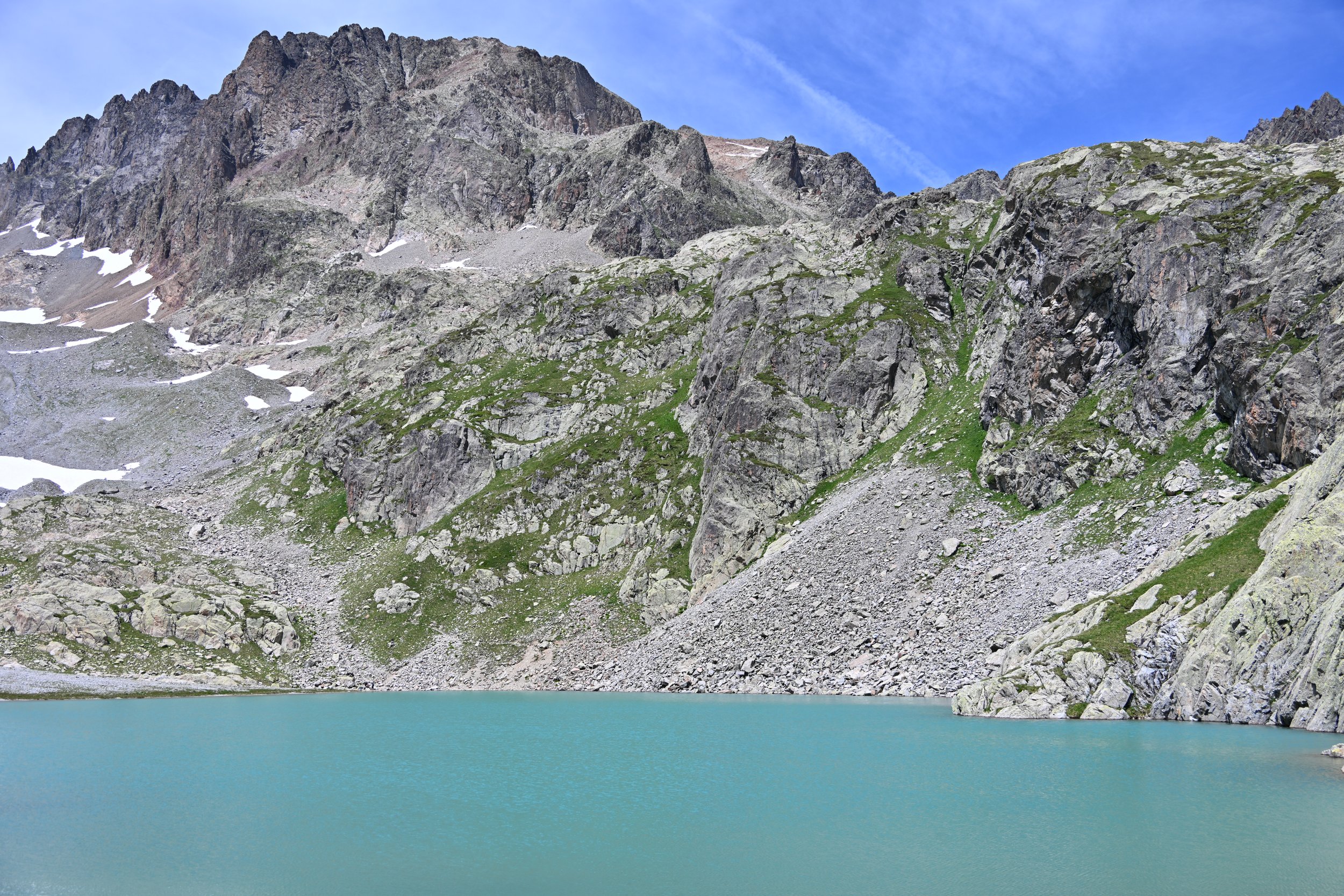
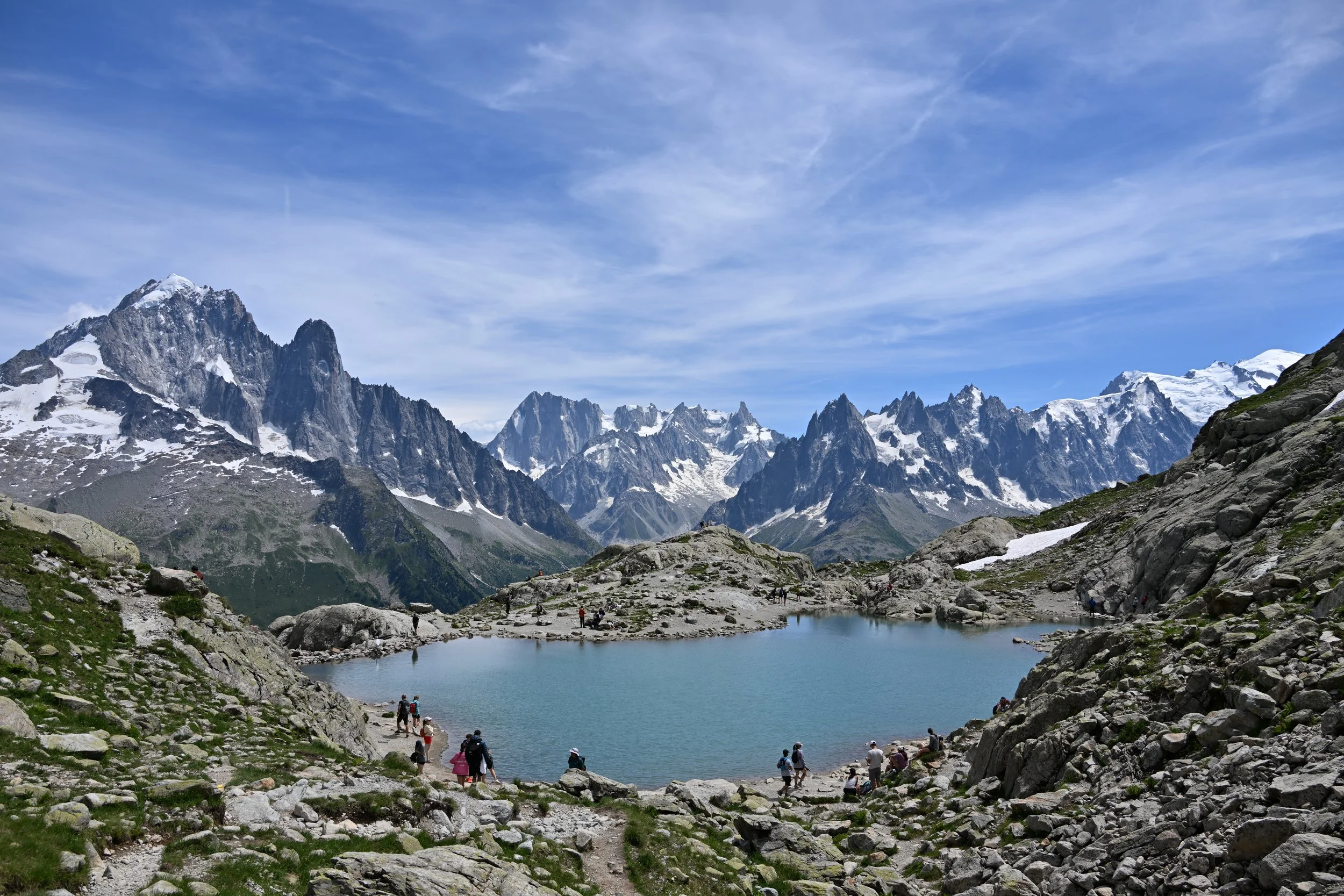
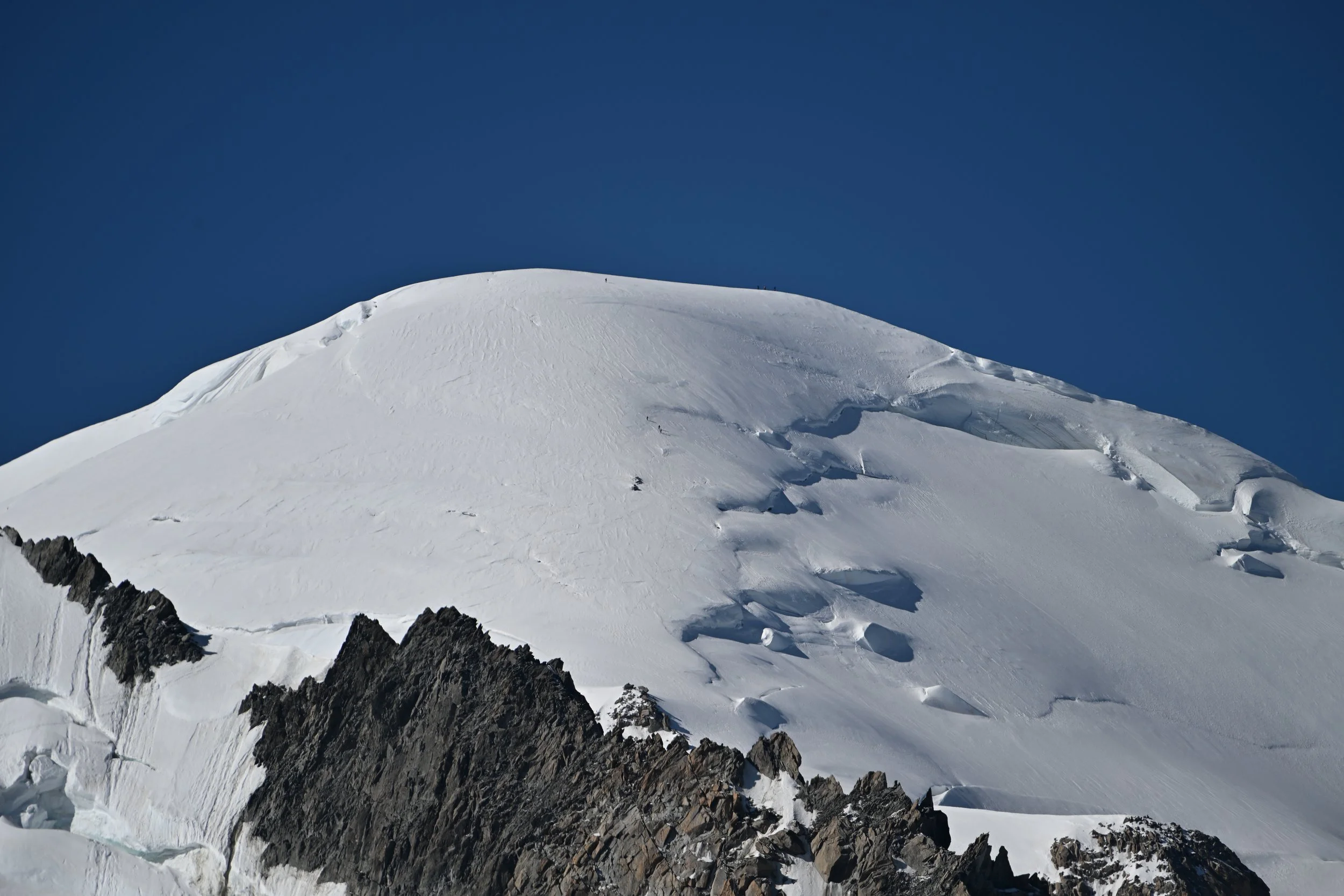
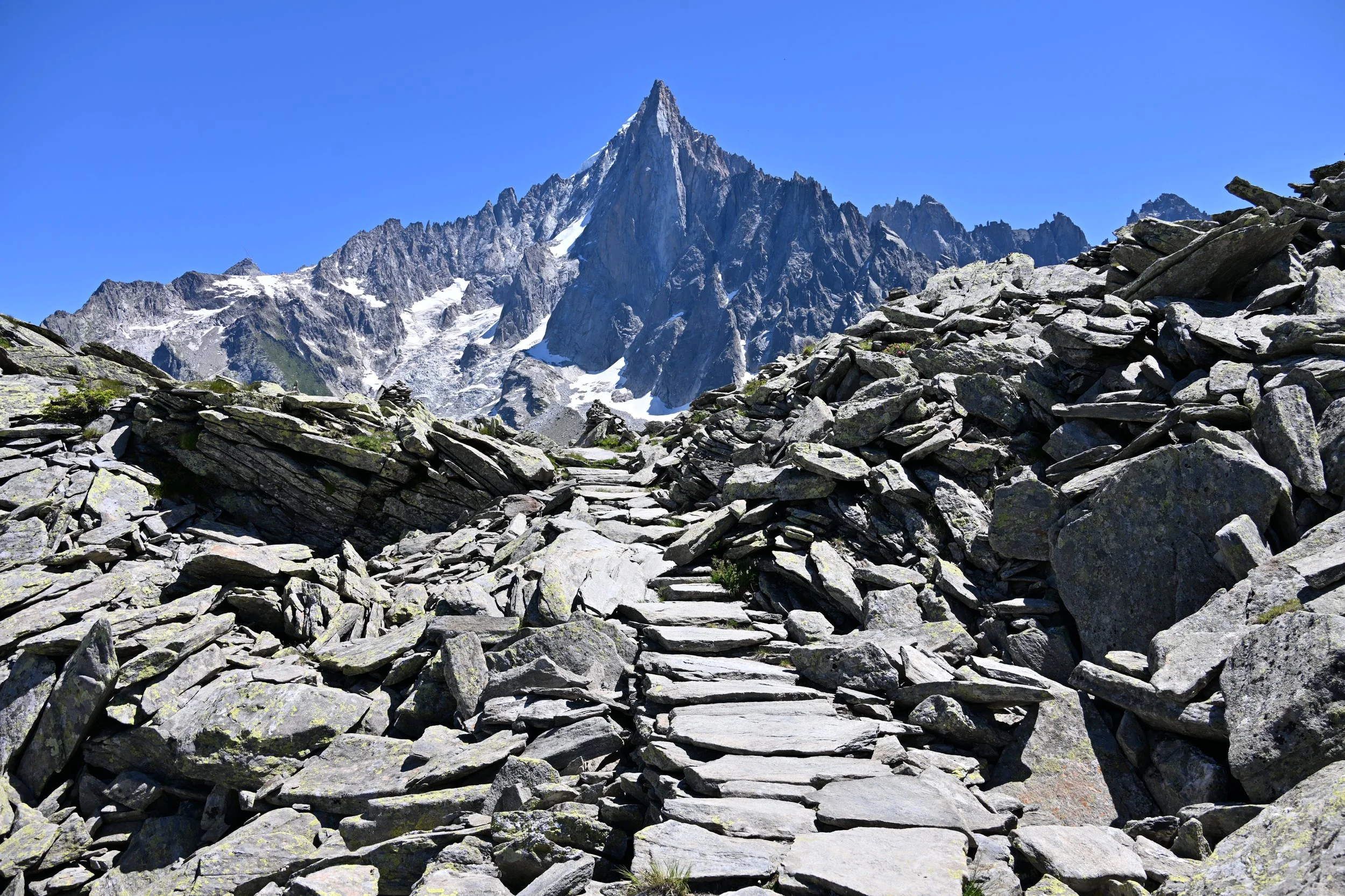
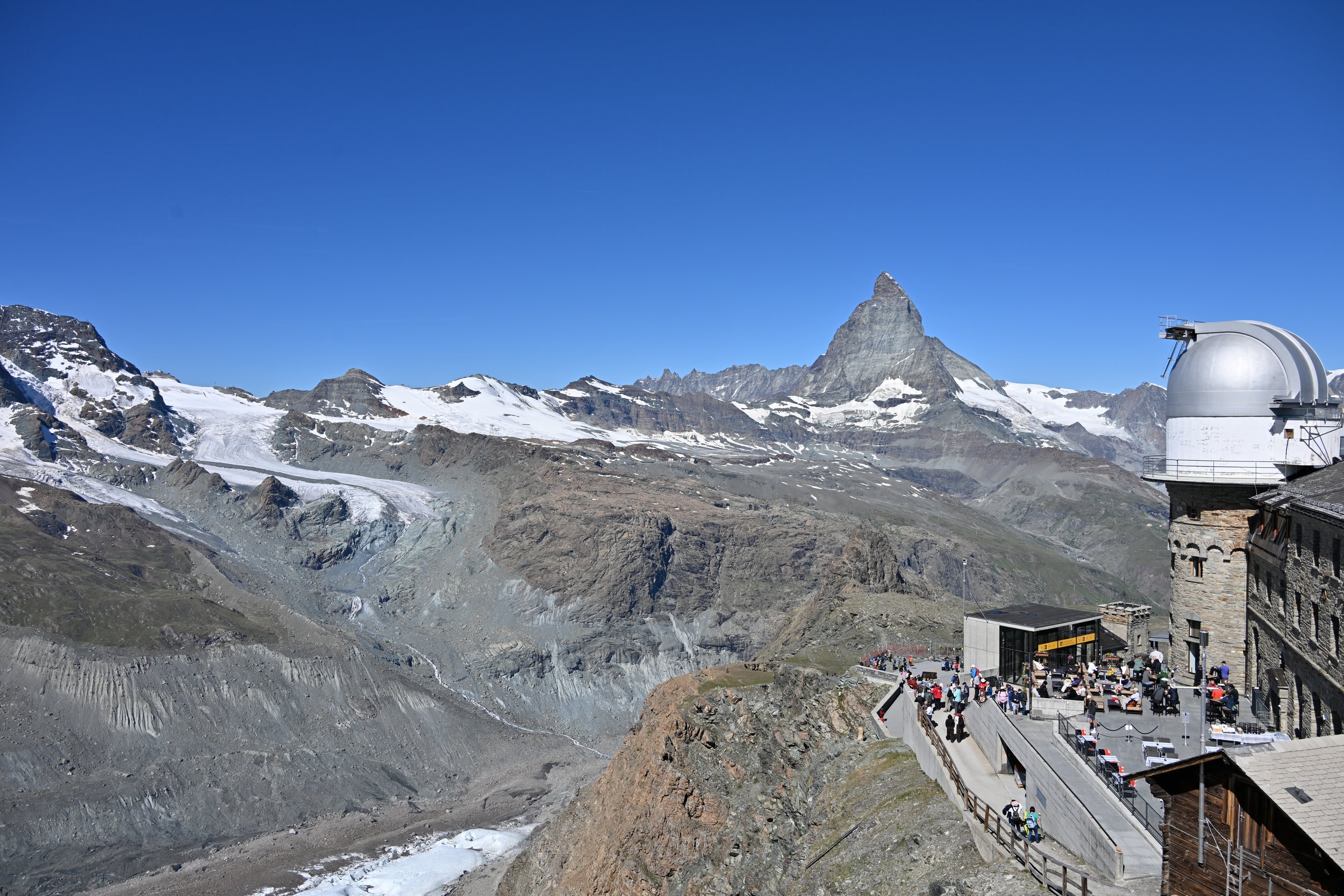
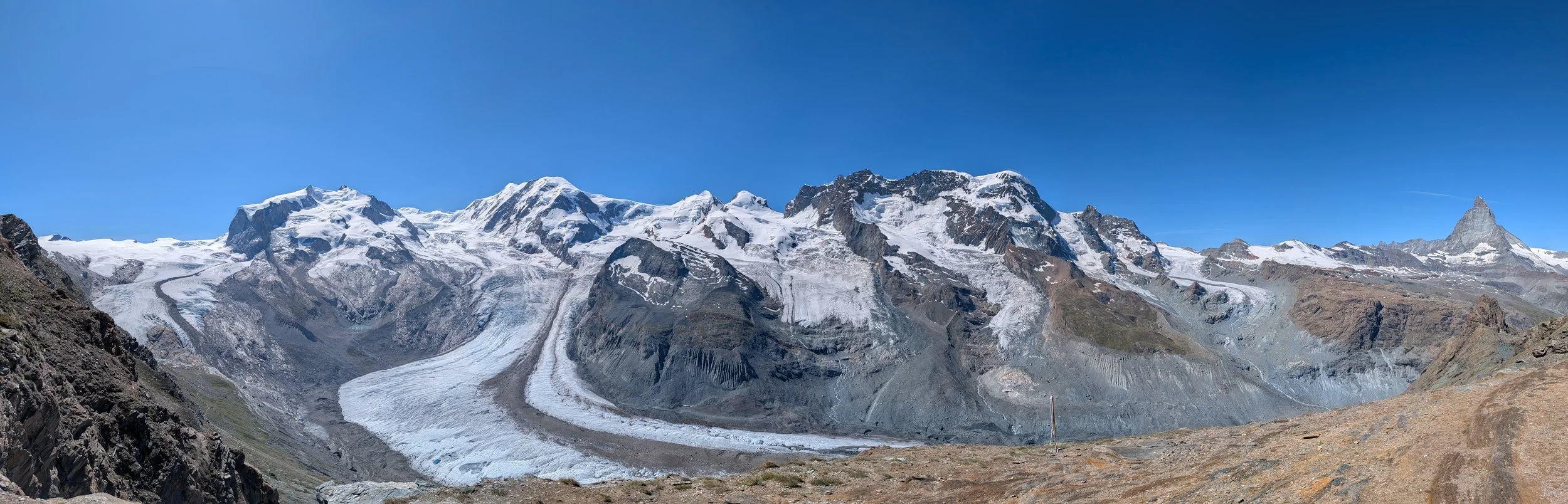
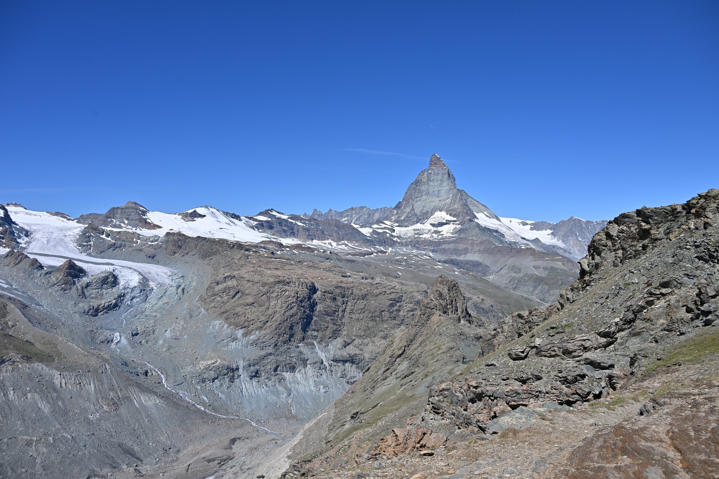
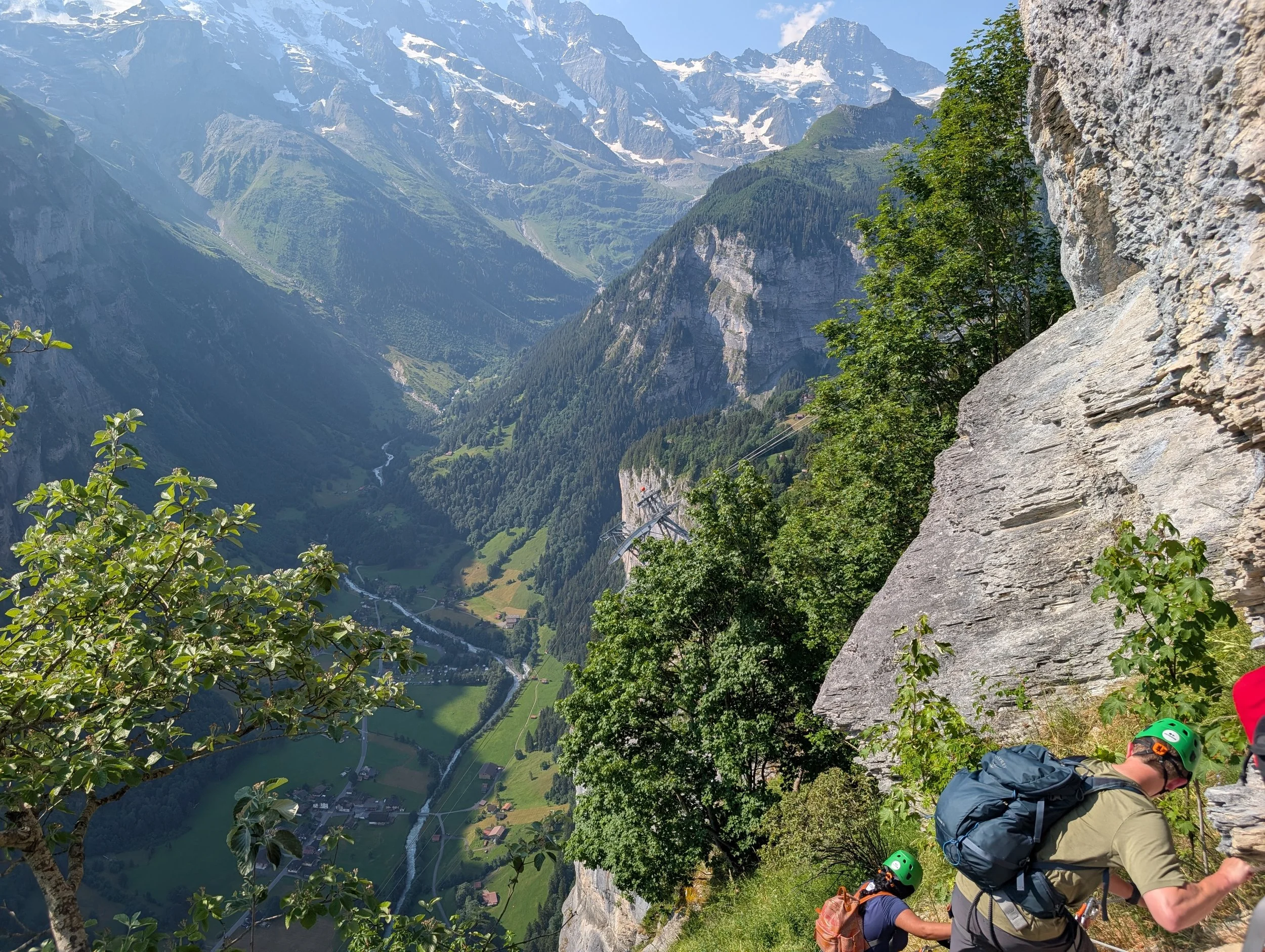
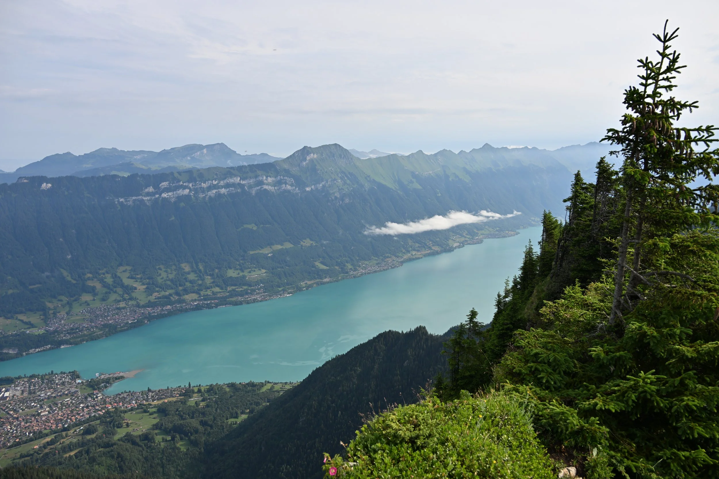
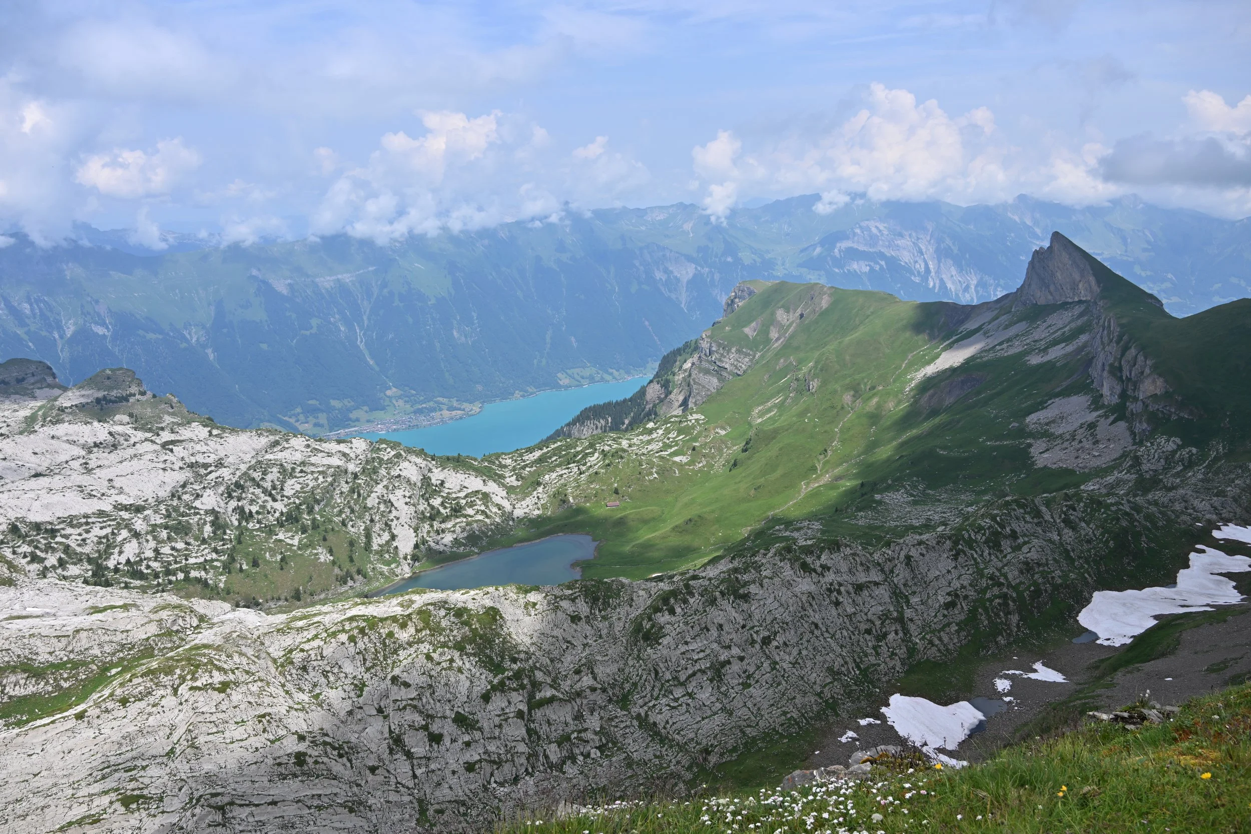
That picture above showed how far I got before turning back, and I didn’t make it to the top. However there were gorgeous vistas through the notch back down the trail…
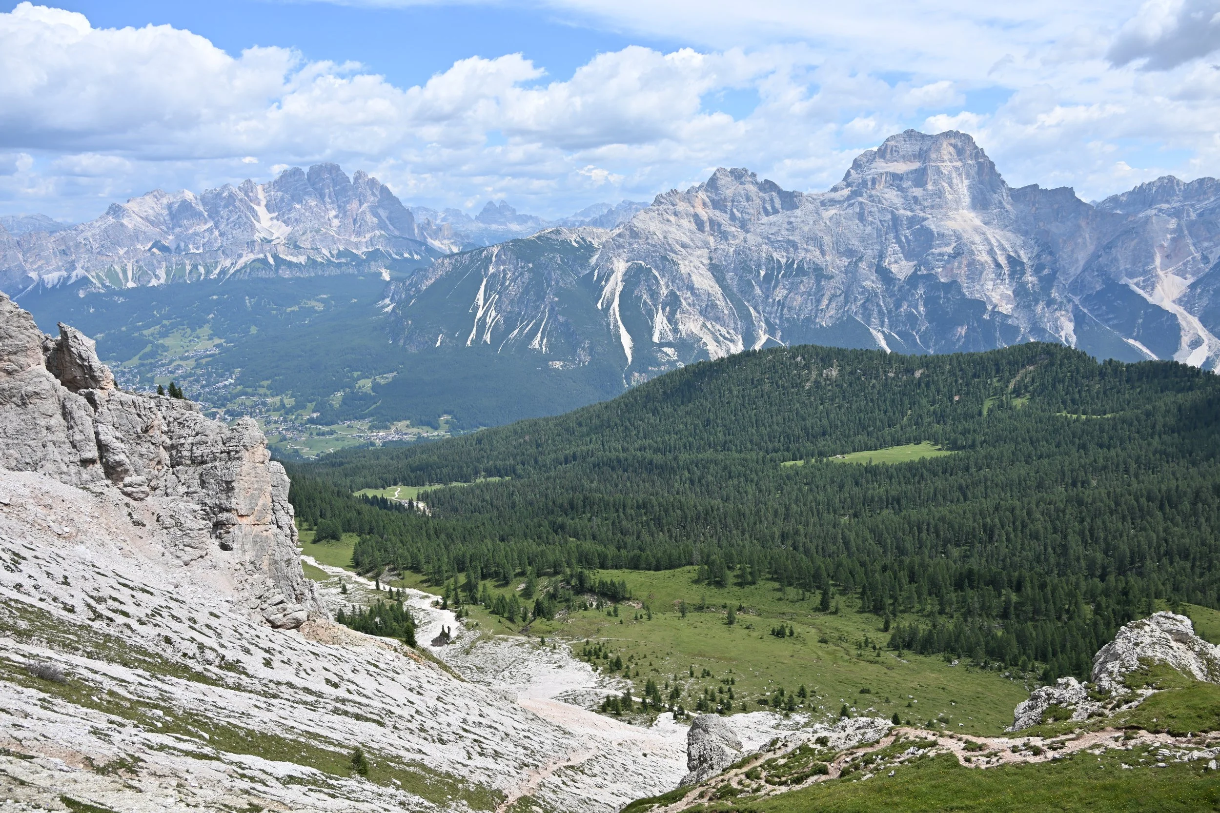
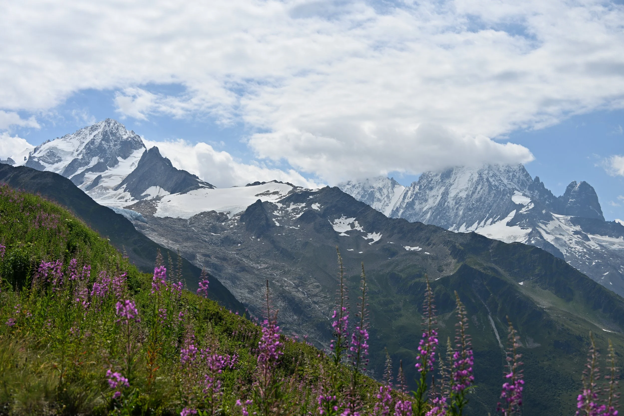
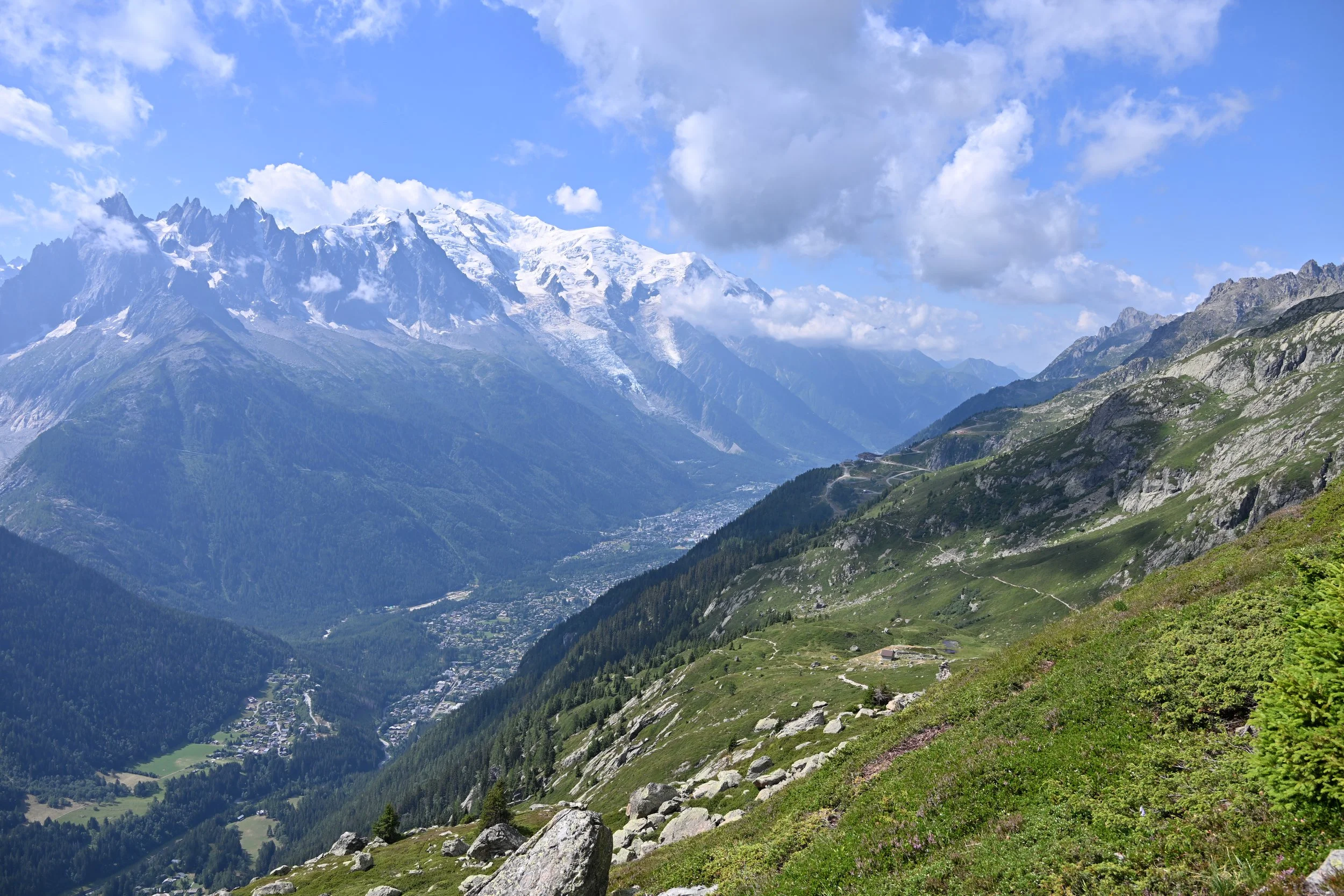
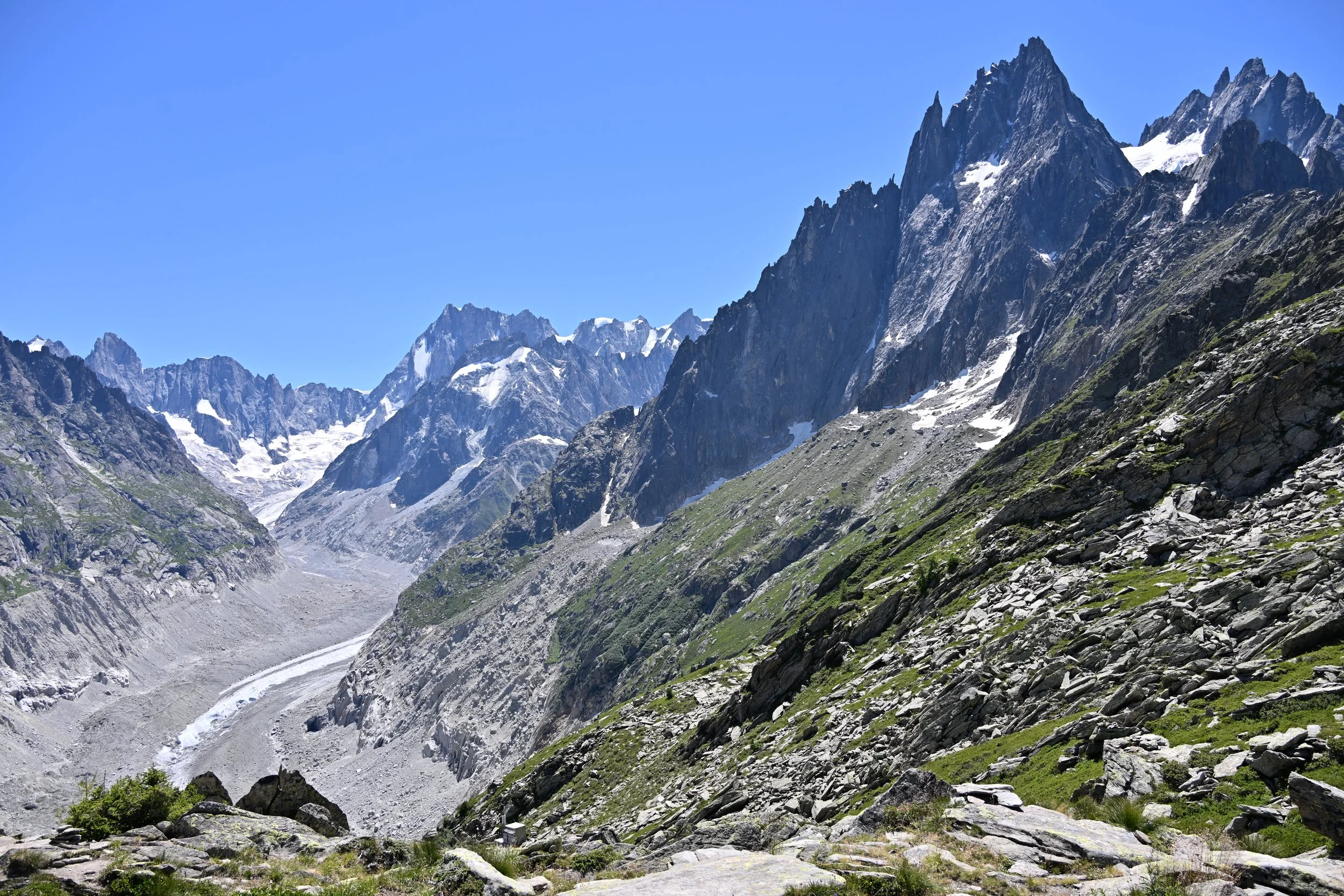
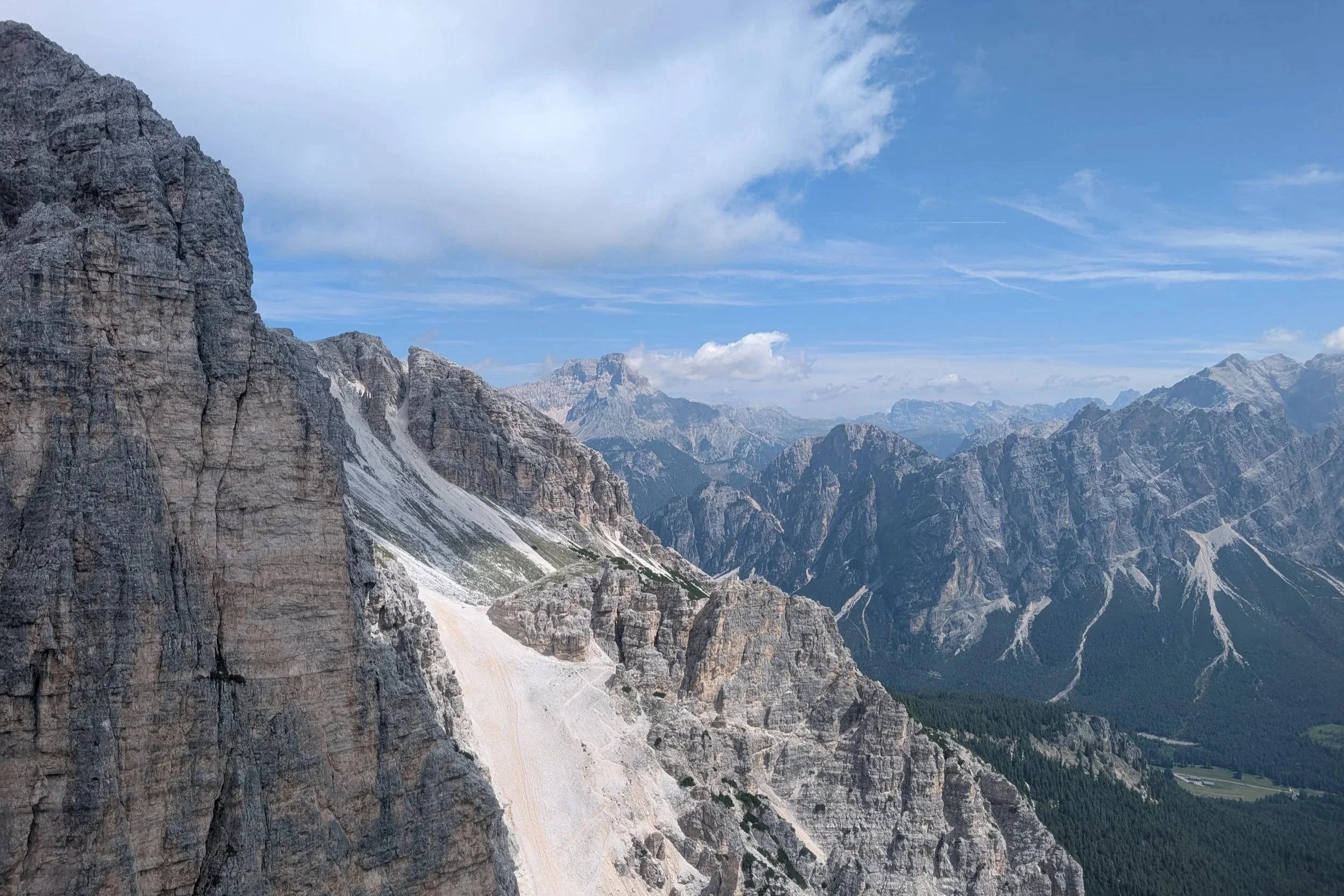
… and as we descended in the gondola -
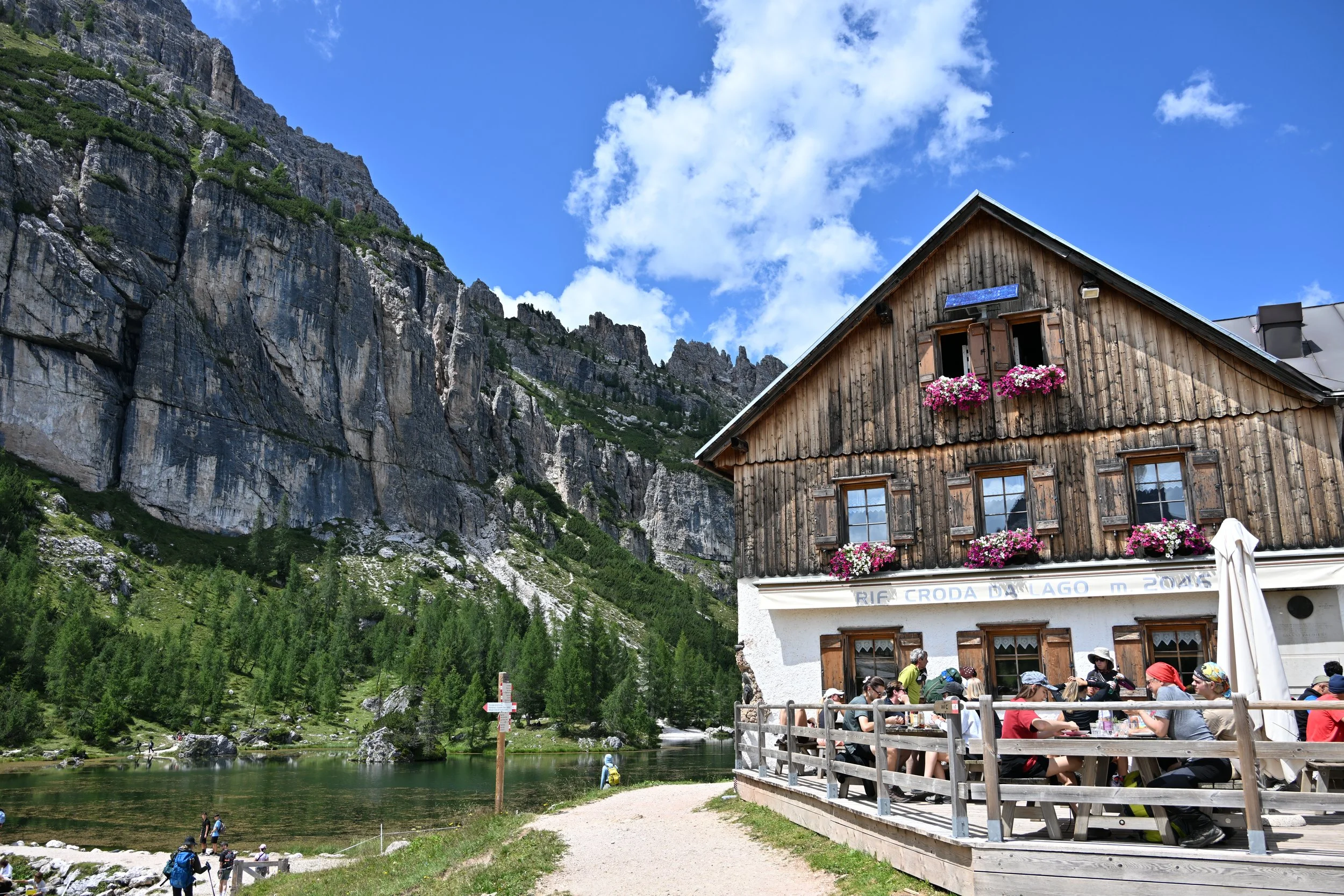
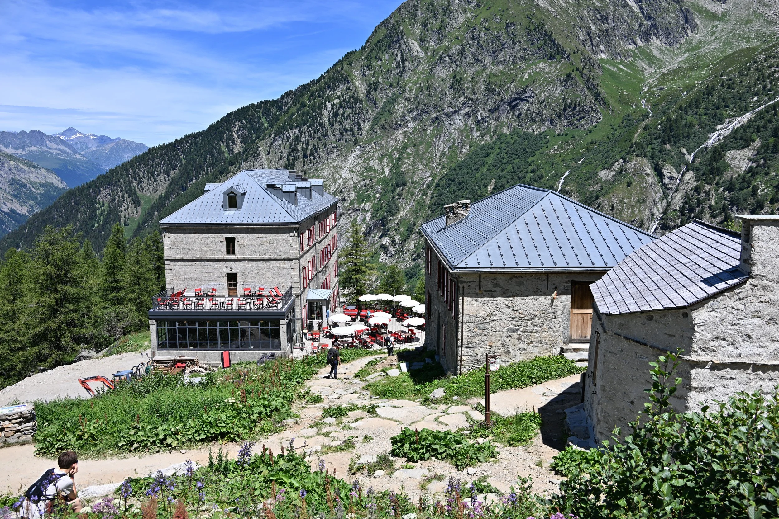
We stopped at the halfway point for some lunch…
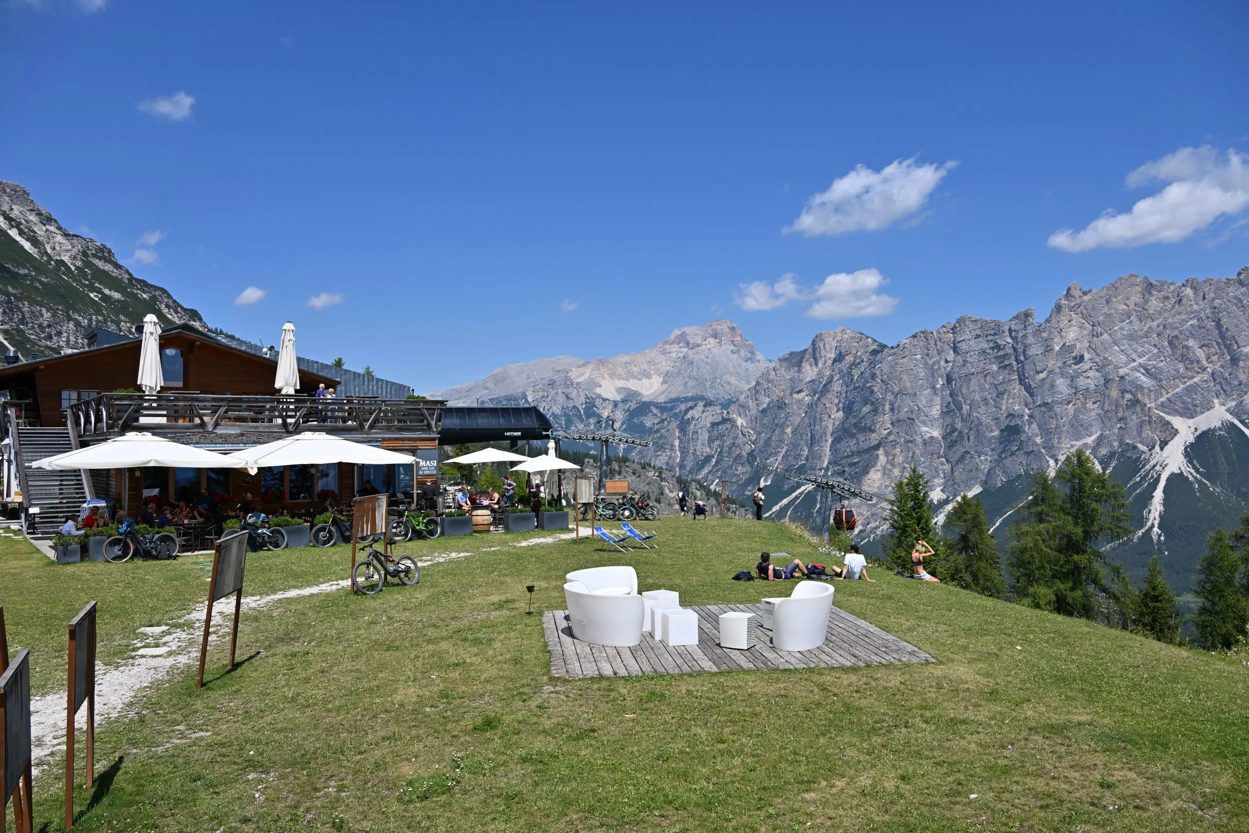
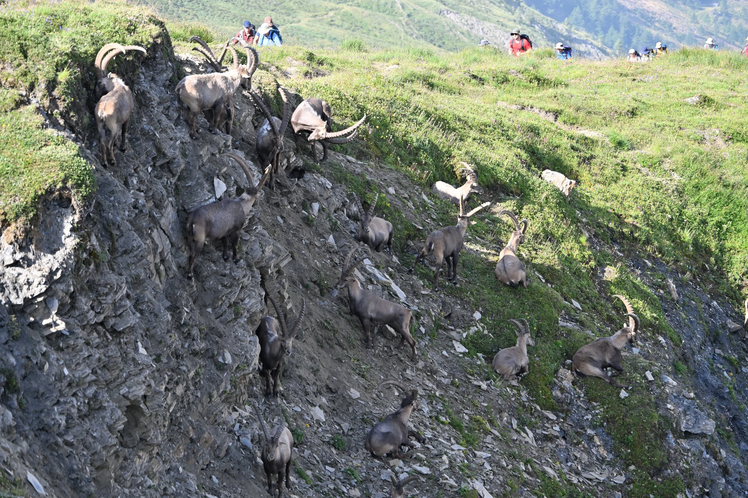
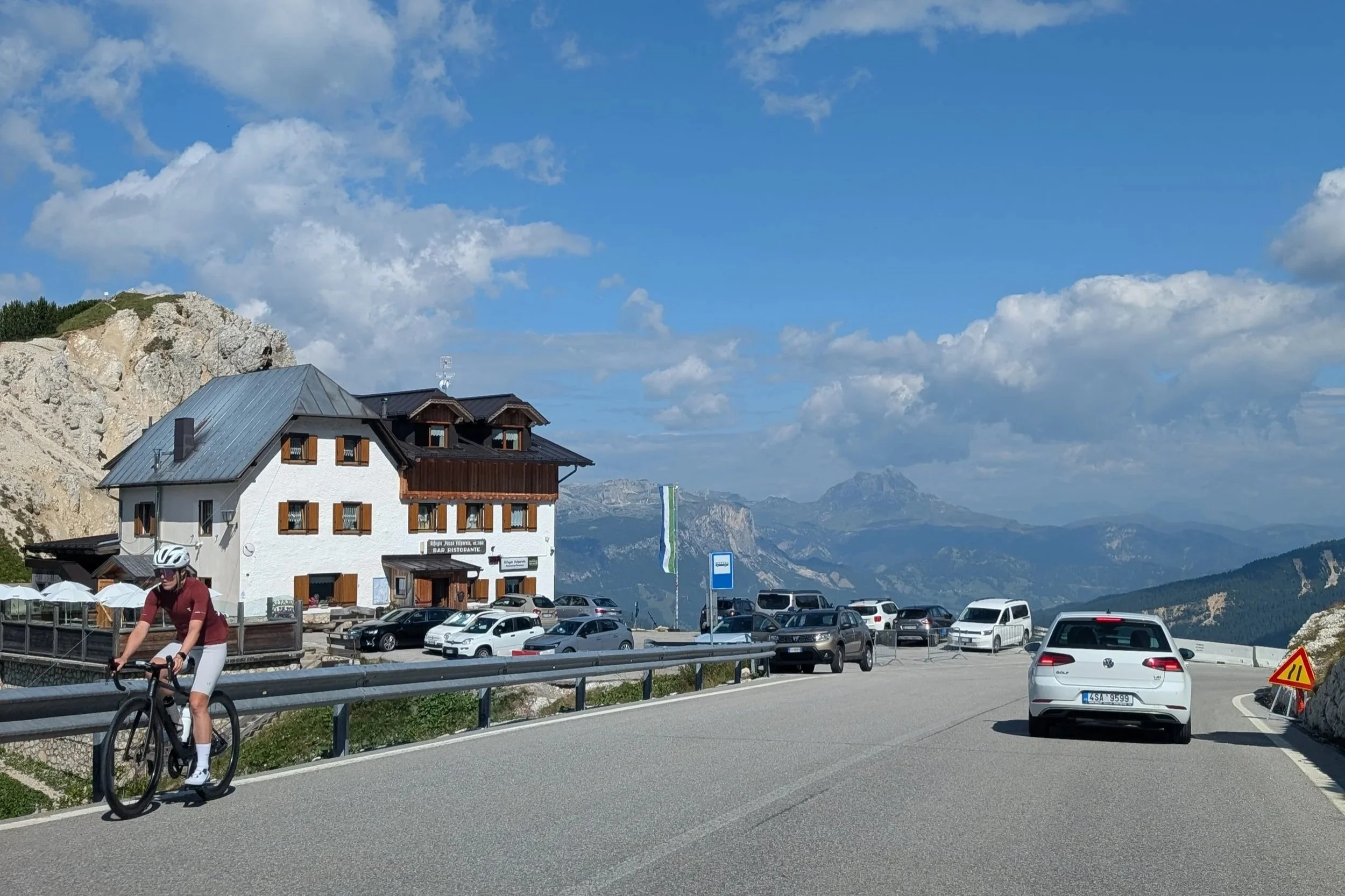
… and this picture reminds me to tell you about the bike riders that were everywhere in the Dolomites. They’d be holding up traffic by laboring up steep switchbacks on a hill, or speeding down other hills as fast as the cars. They were also on some of the trails we hiked, making things a little hairy at times.

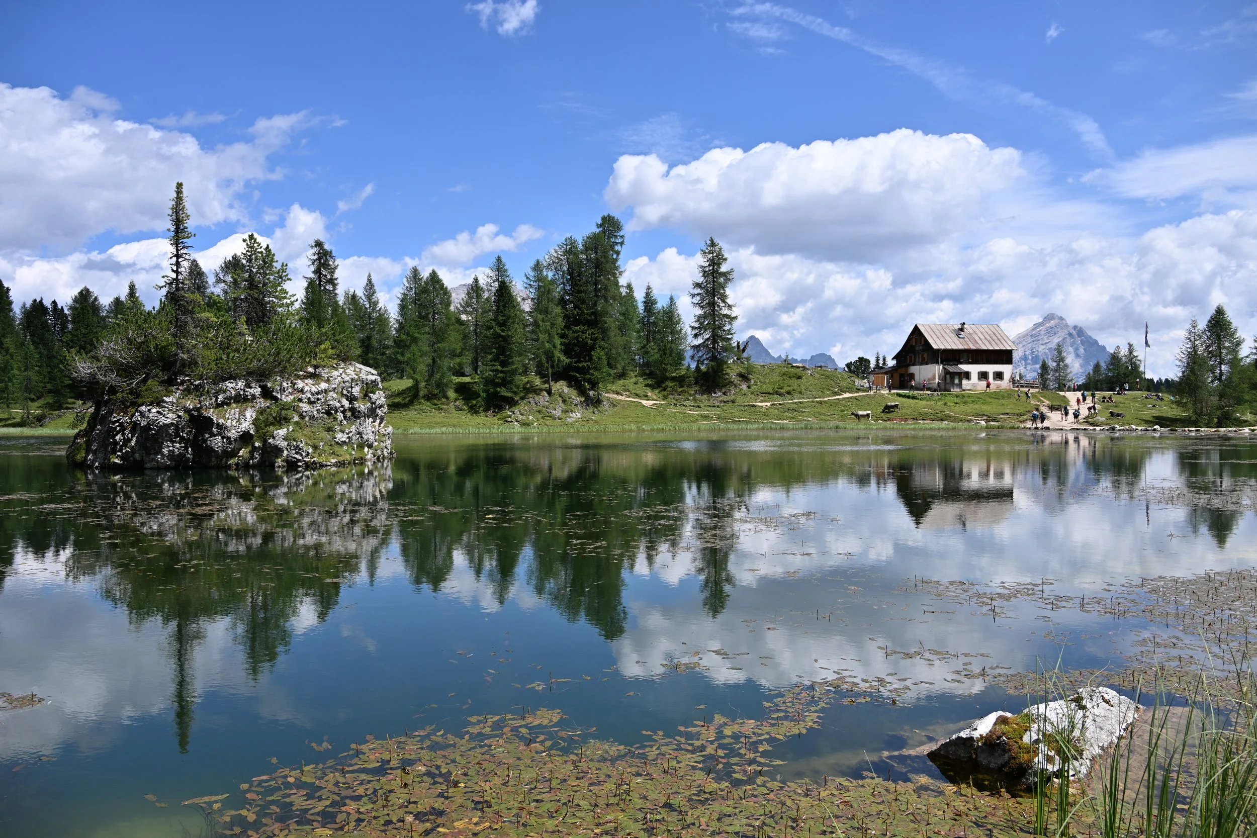
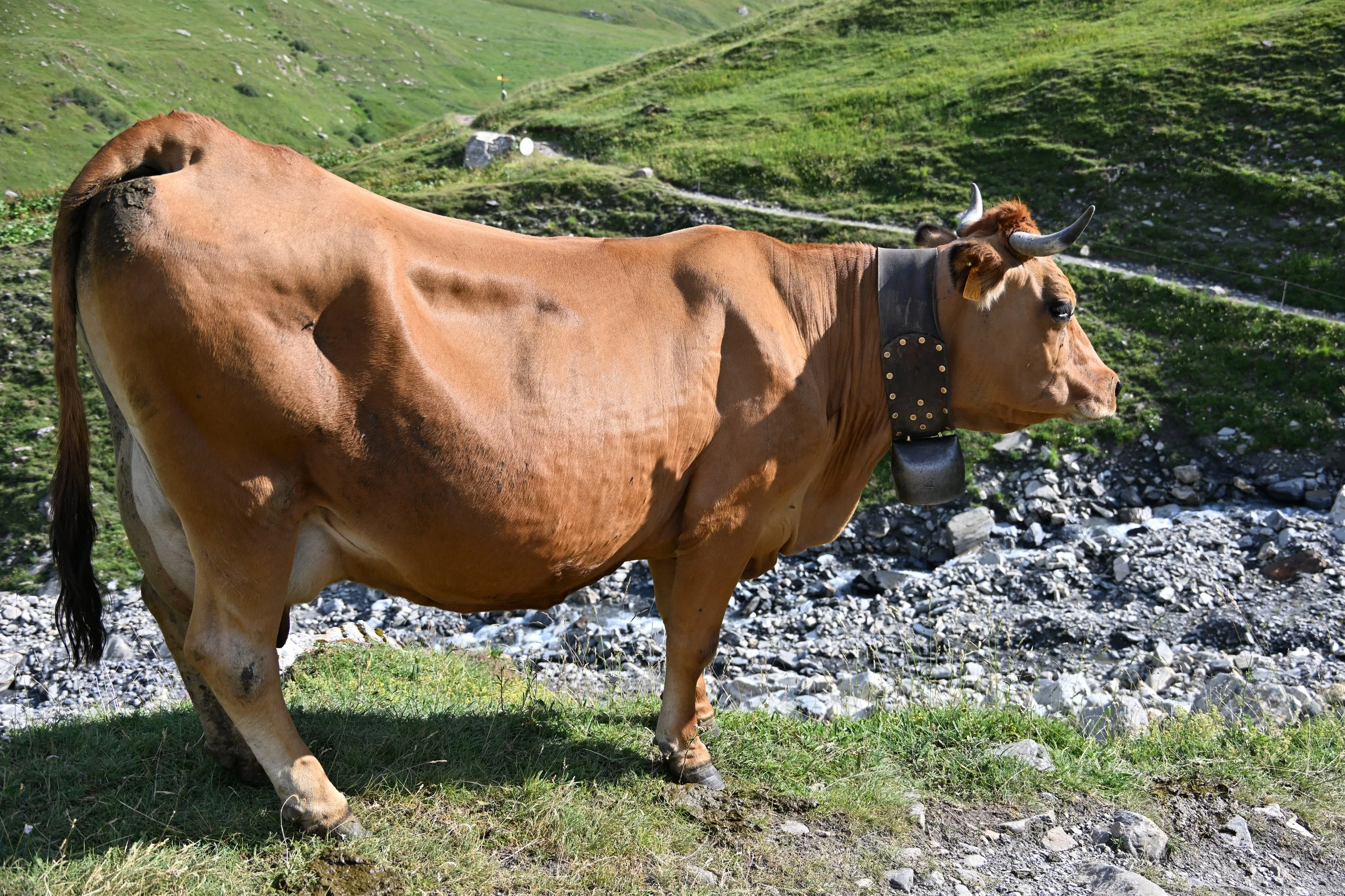
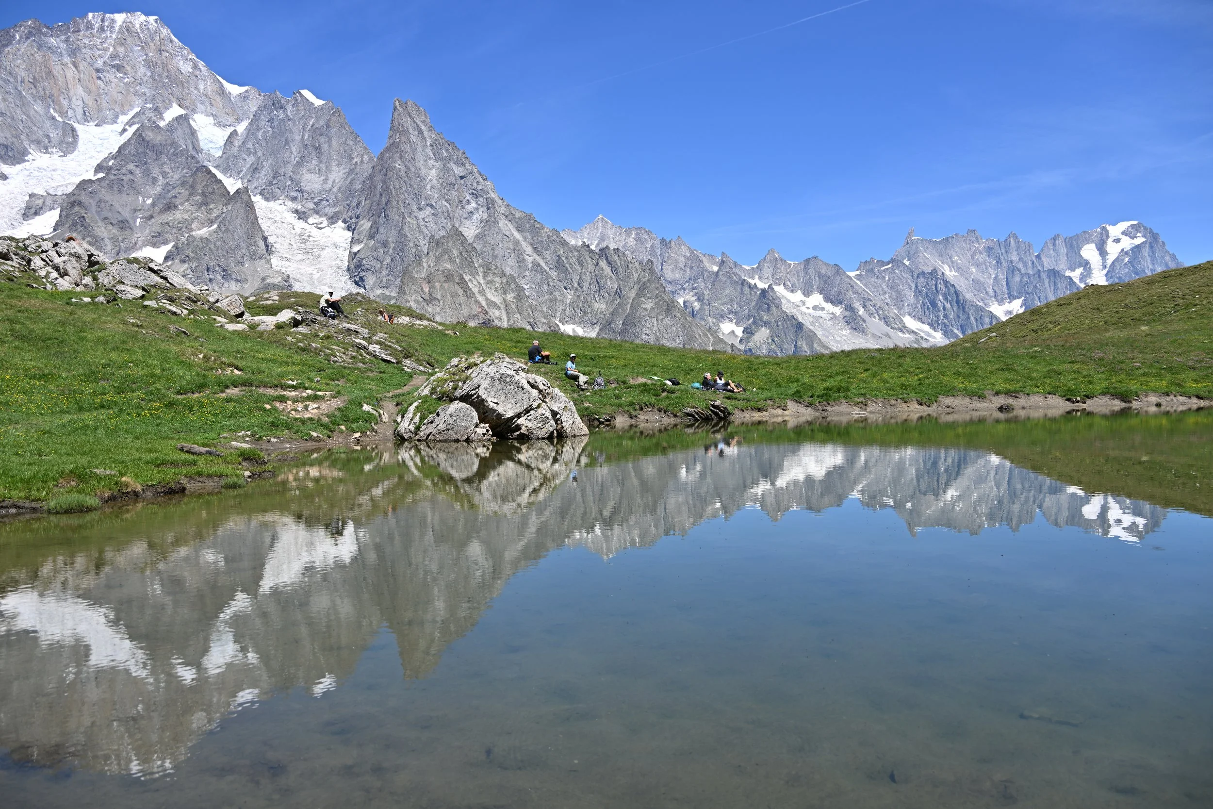
chillin’ time
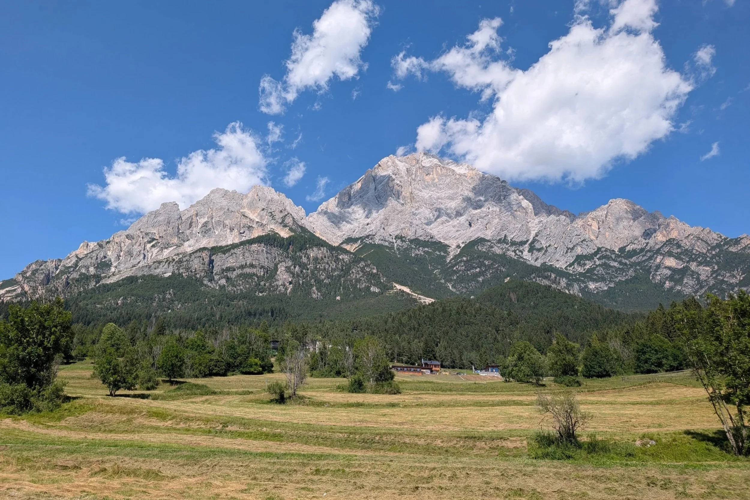
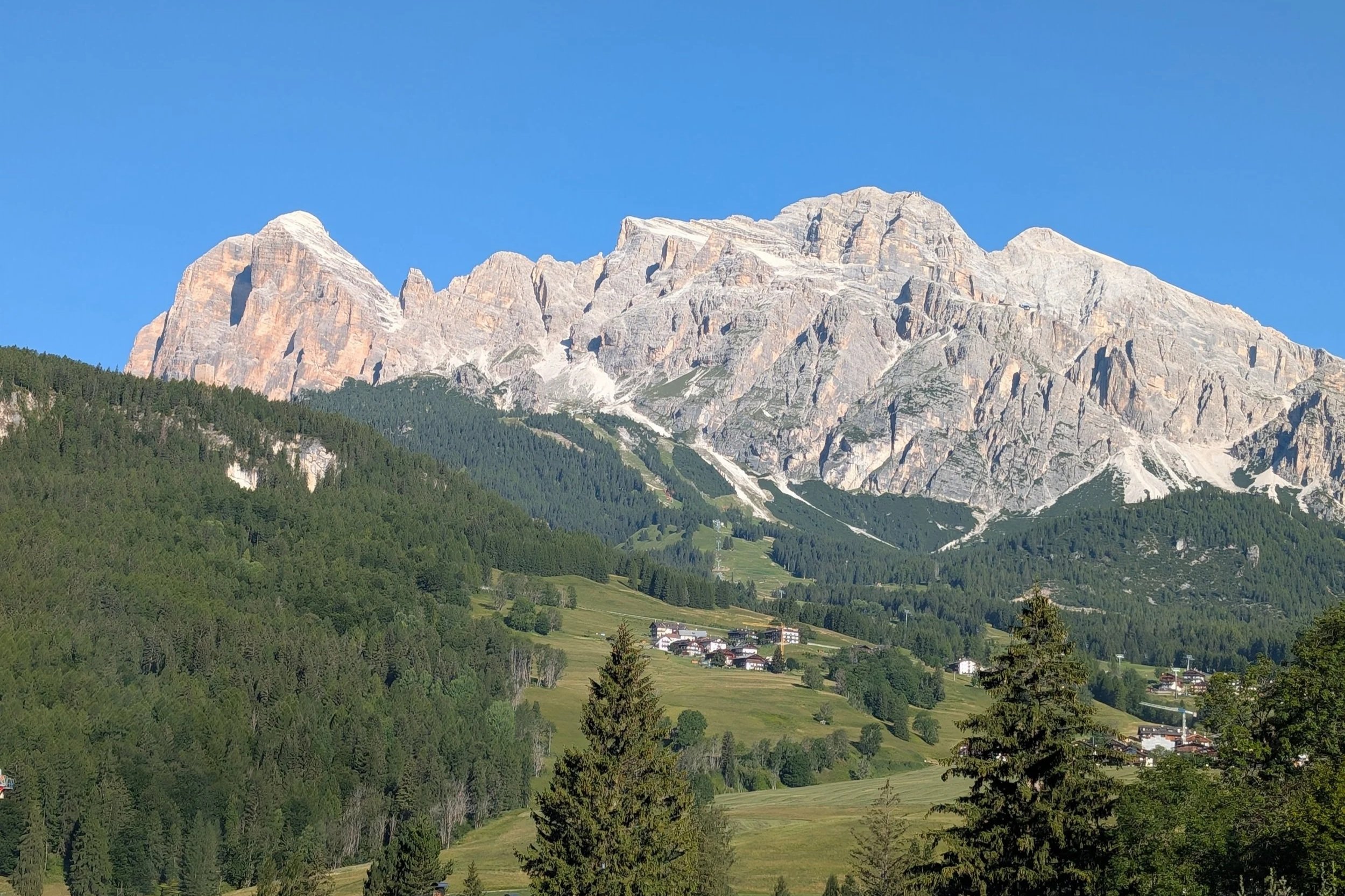
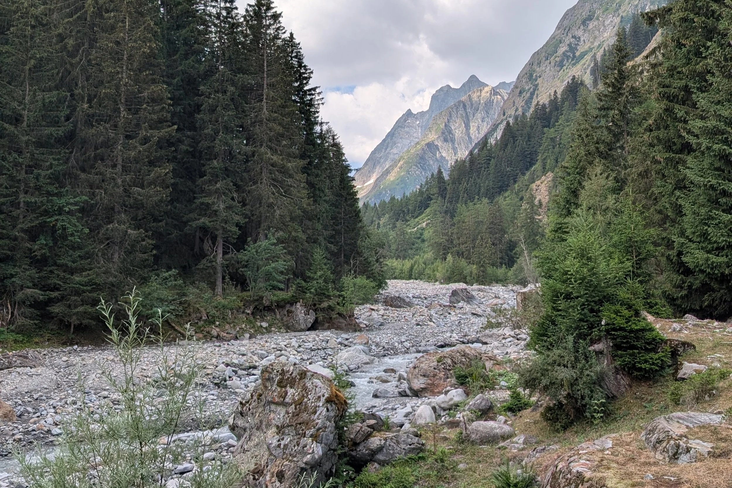
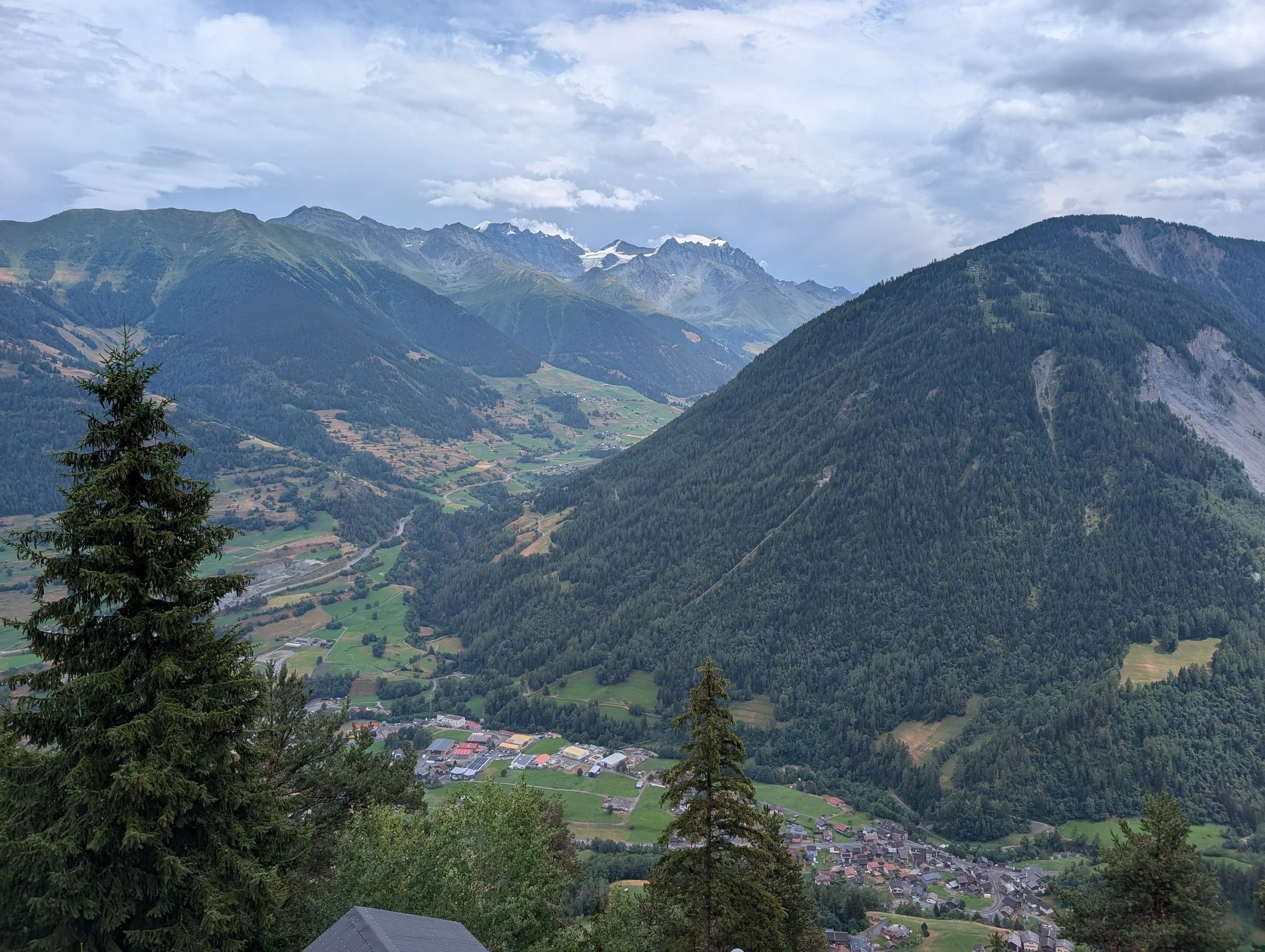
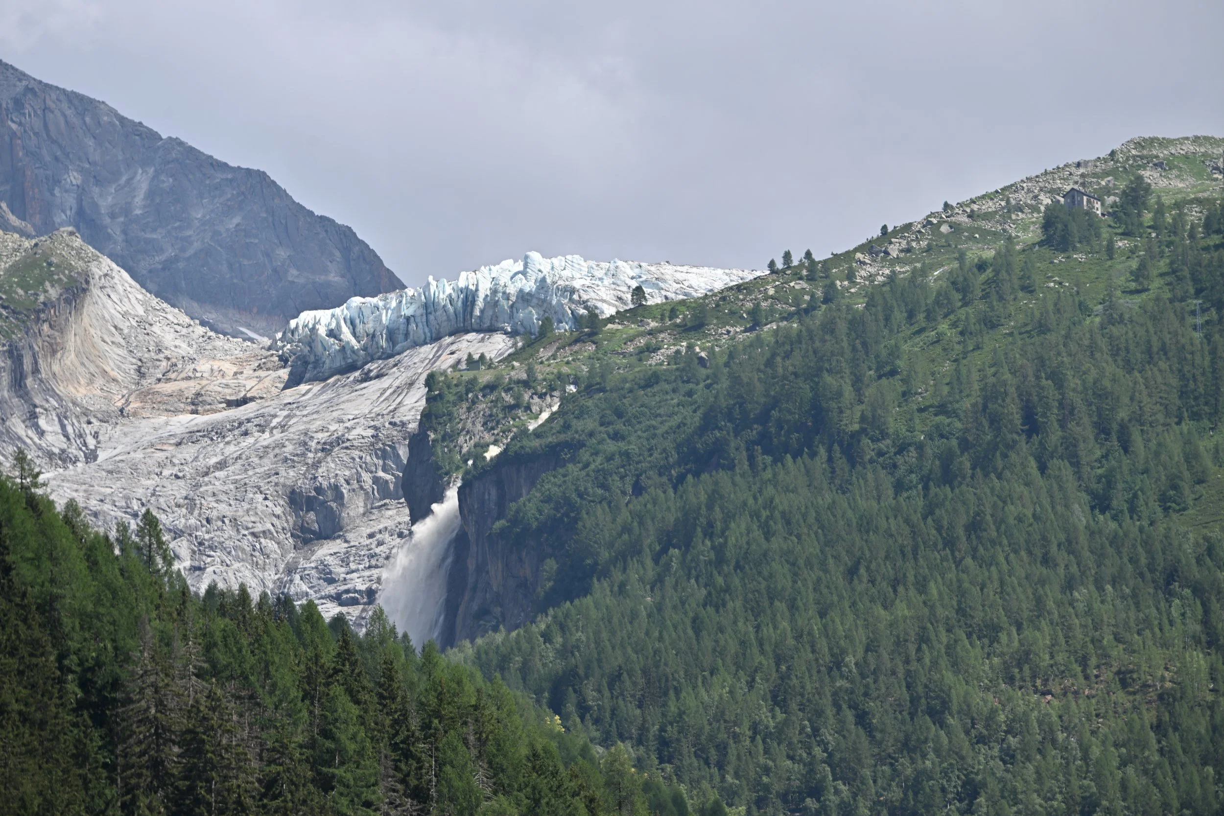
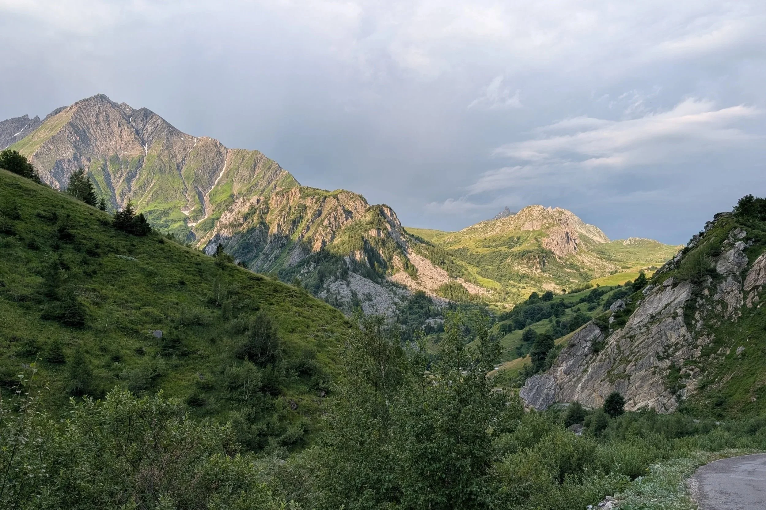
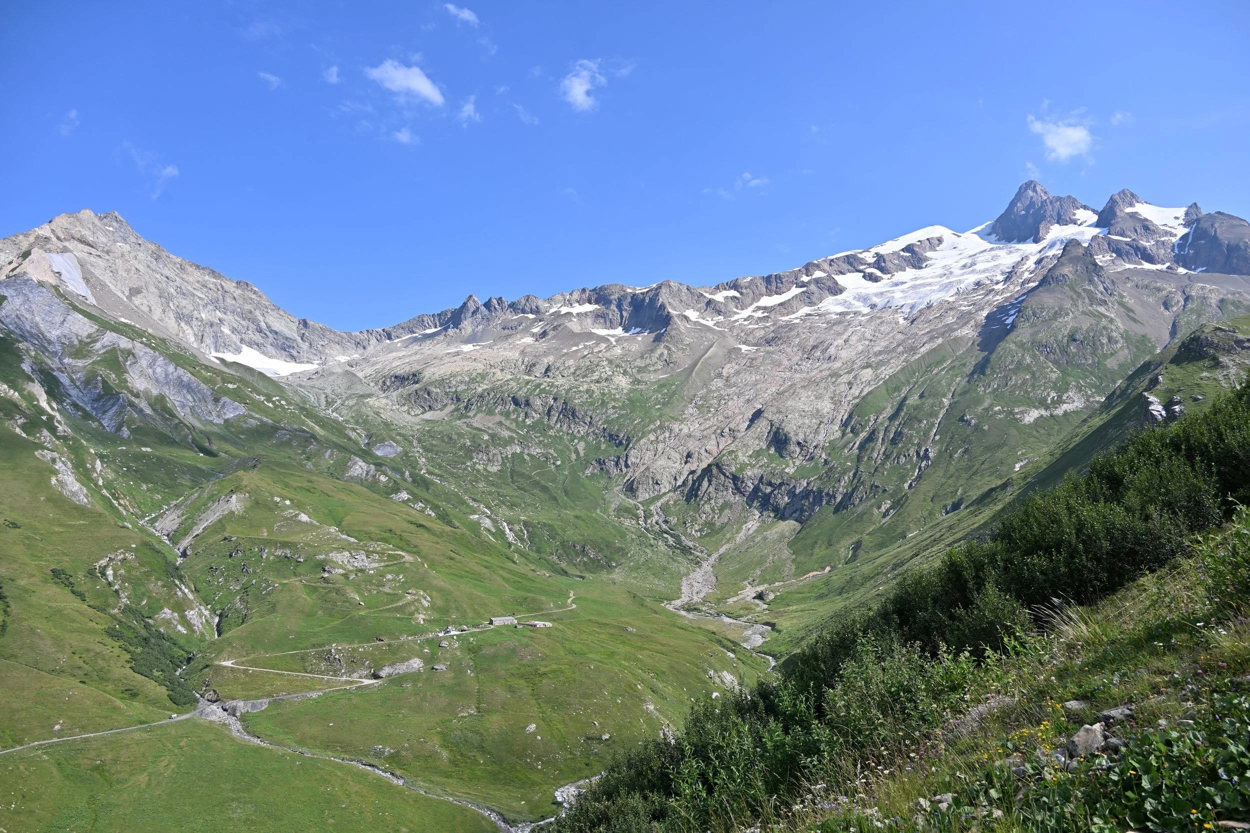
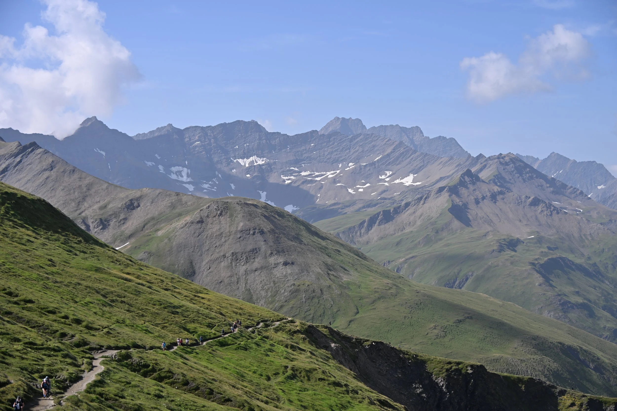
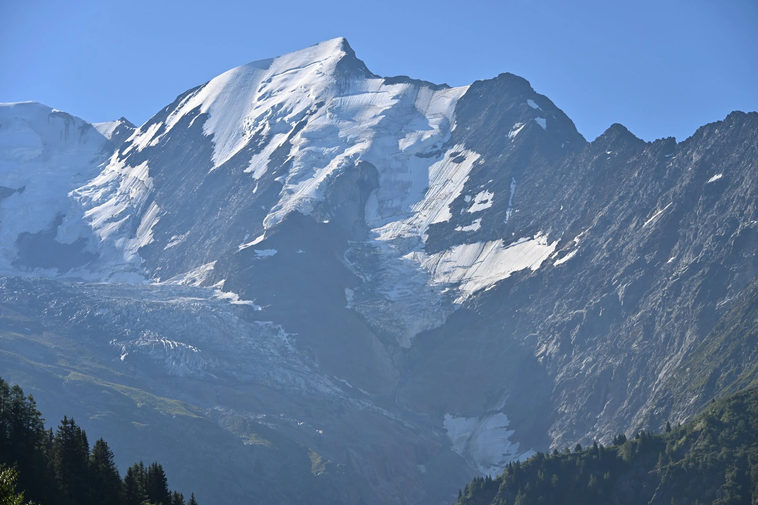
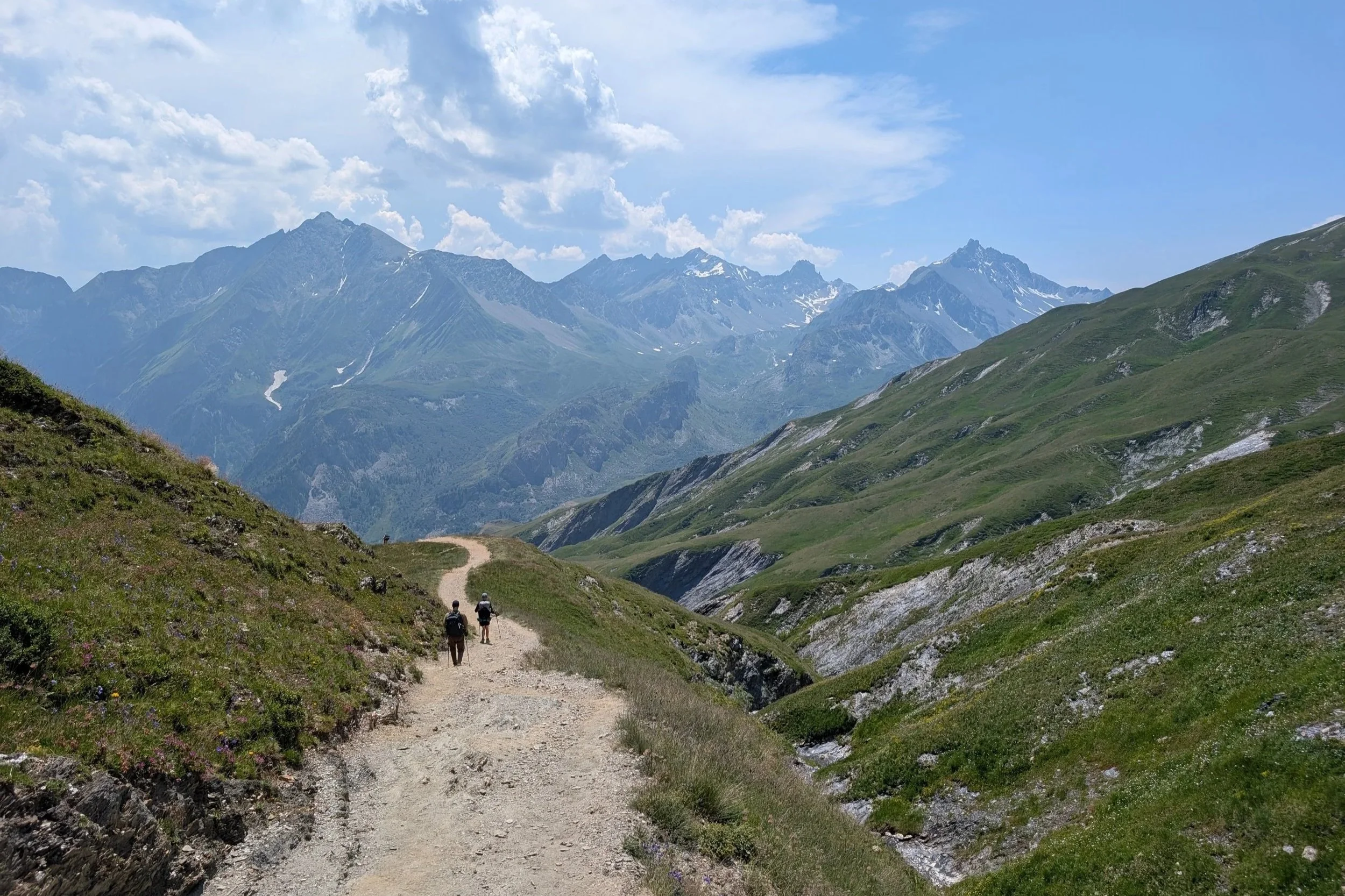
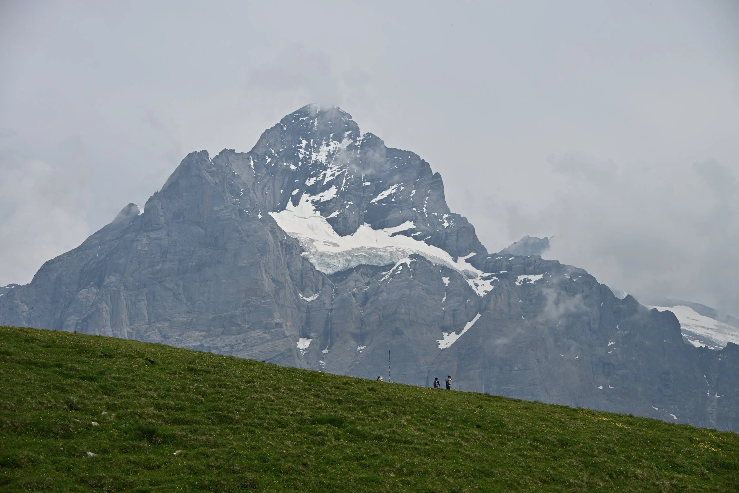
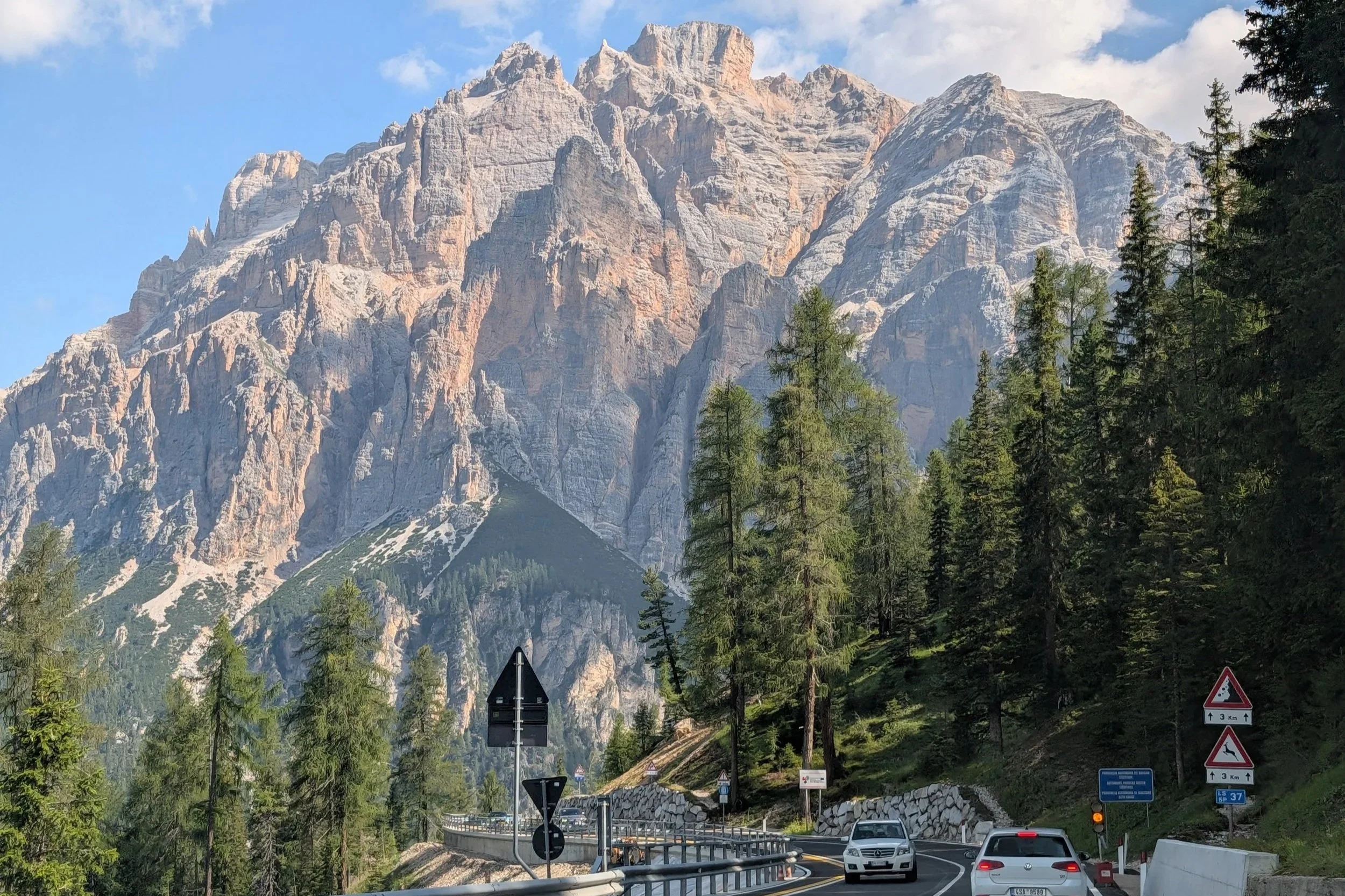
As we left the Dolomites, the views were epic for quite awhile…
… as were the number of cars and bicyclists -
Steve considered this our hardest day of travel (he was driving)…
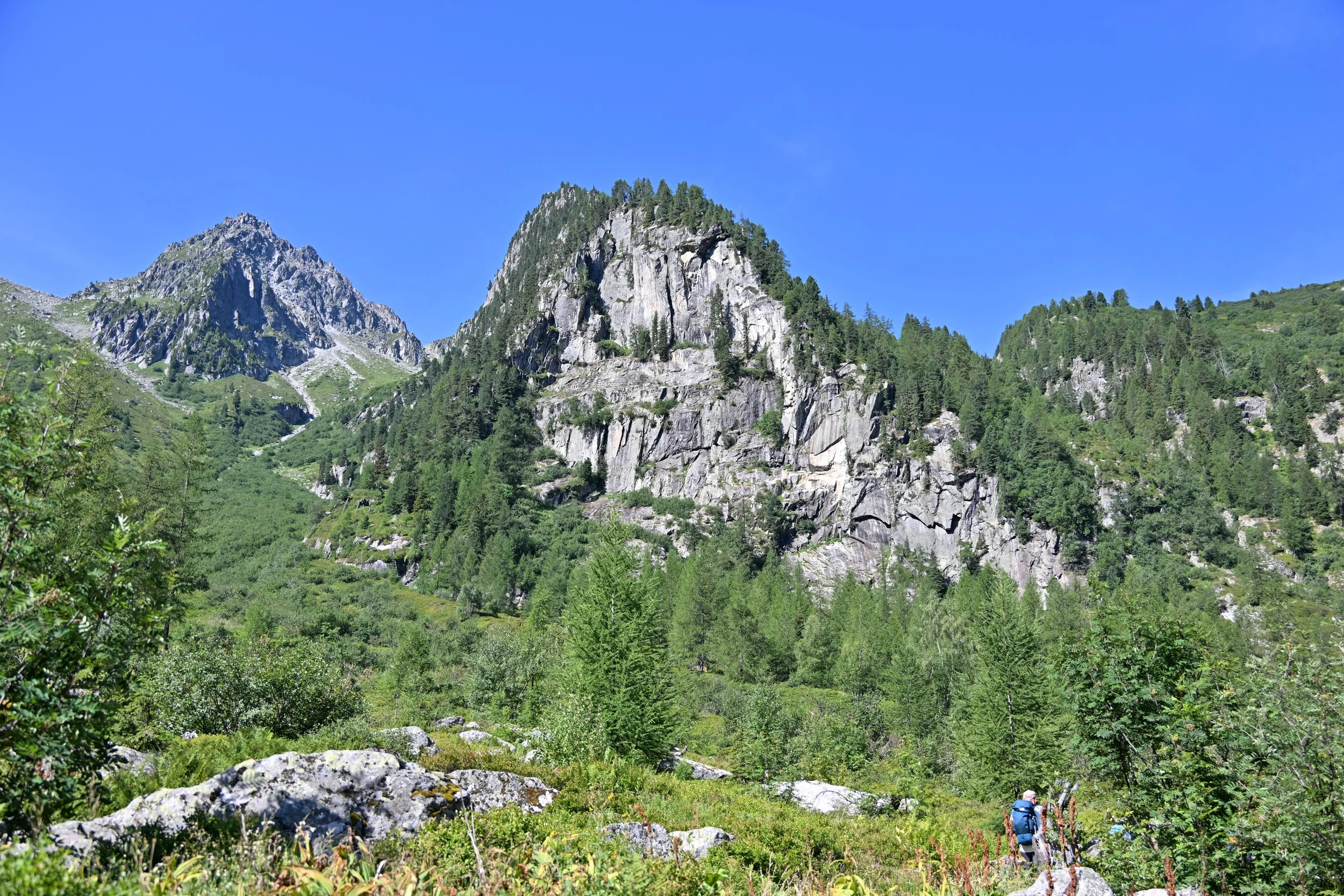
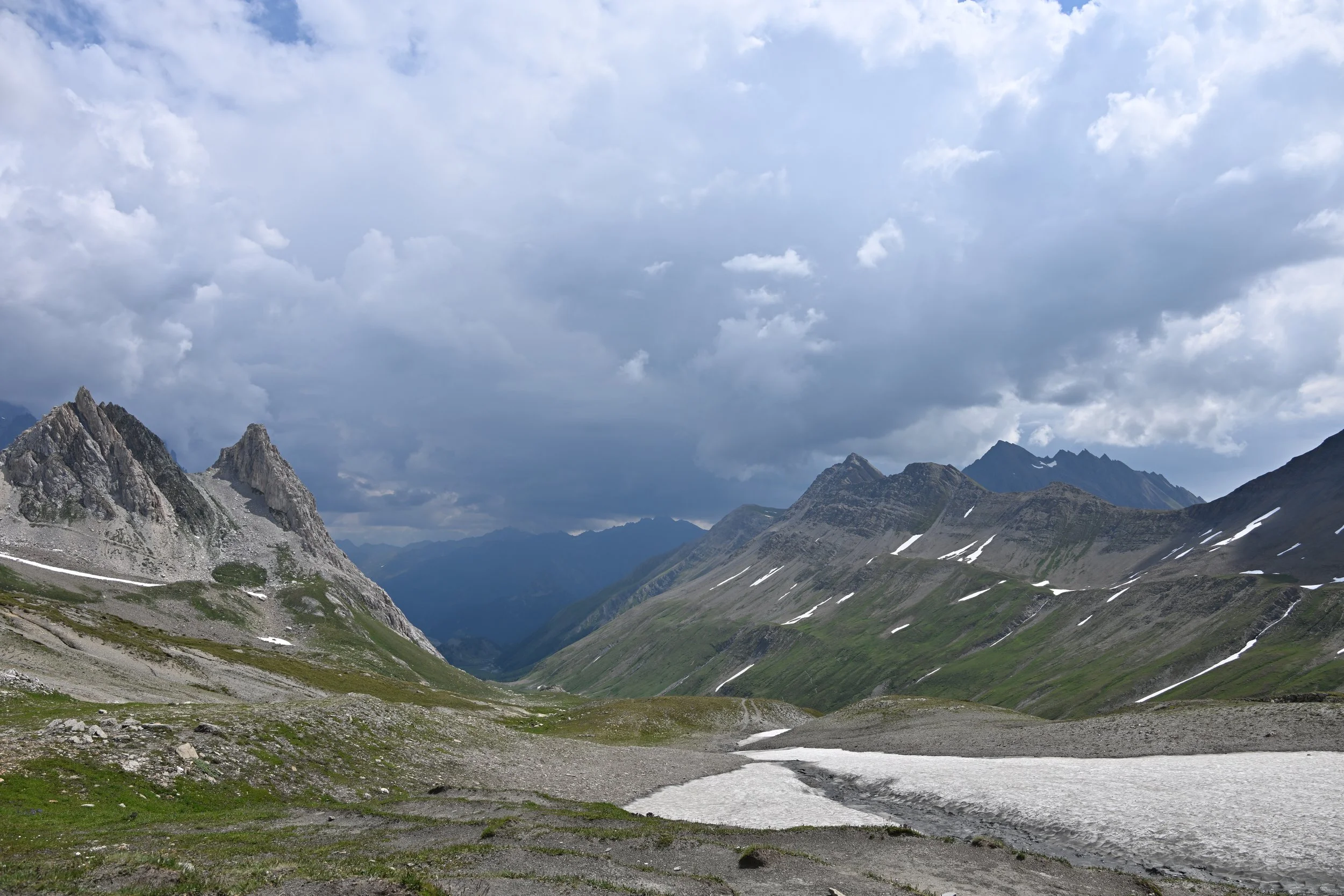
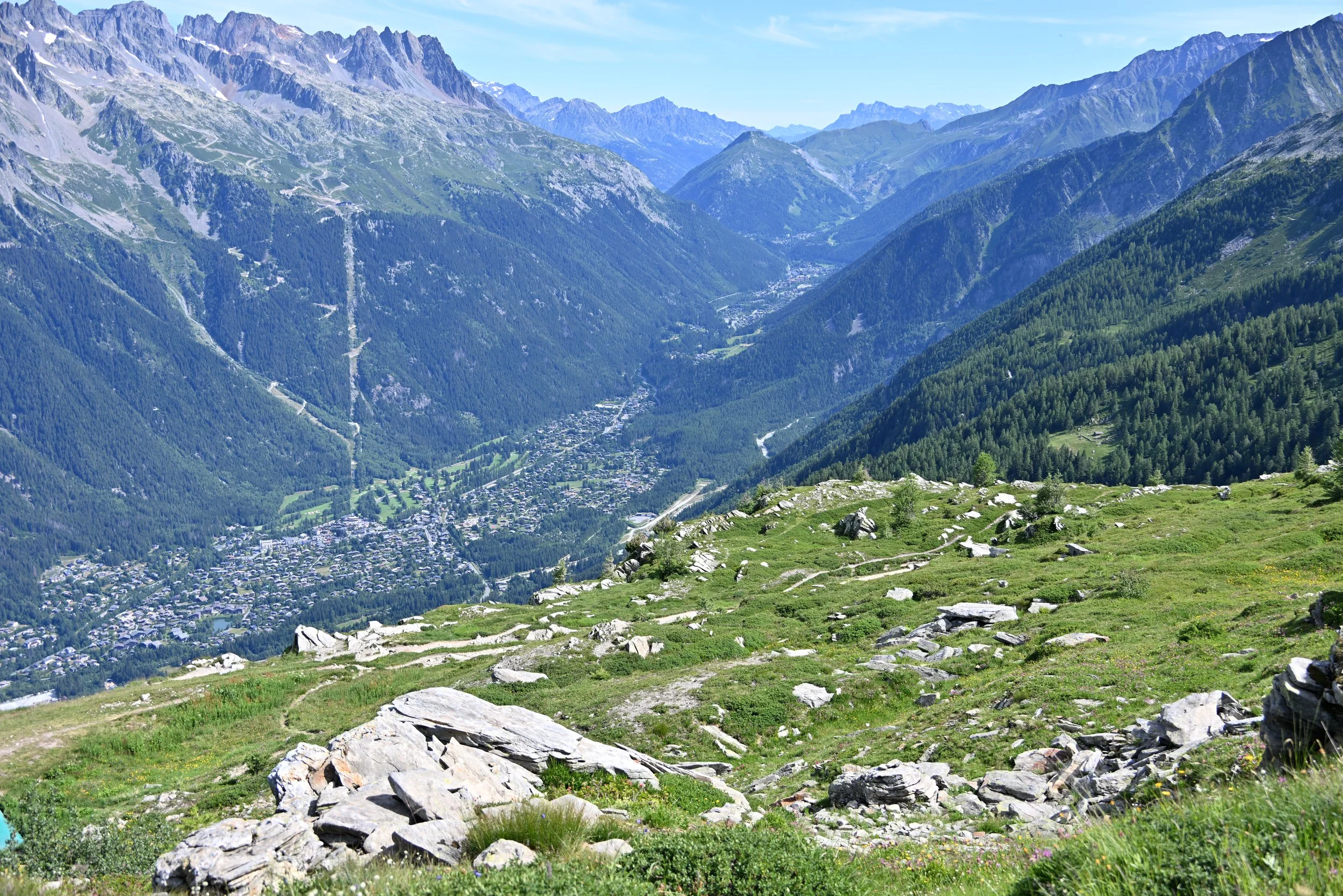
… while I was in awe of the scale of the vistas I was shooting -
Just a hint of the switchbacks -
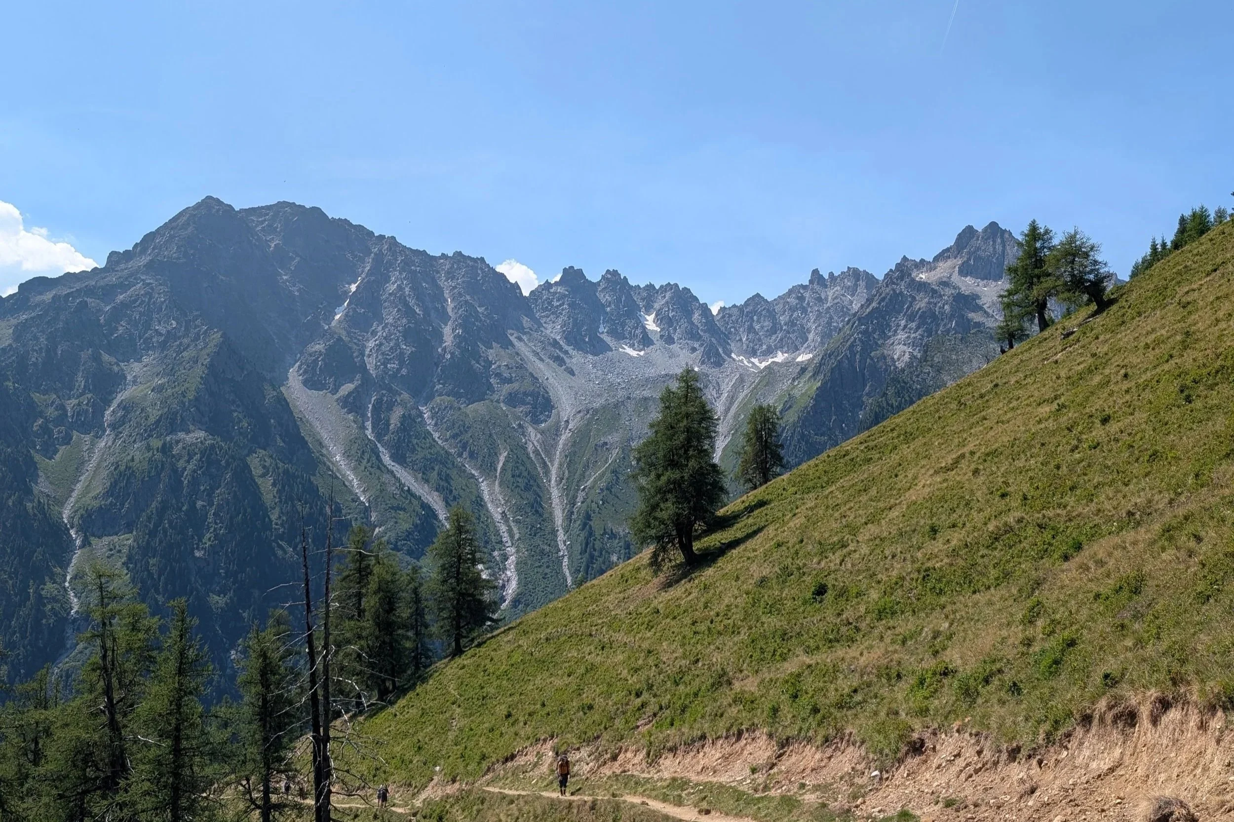
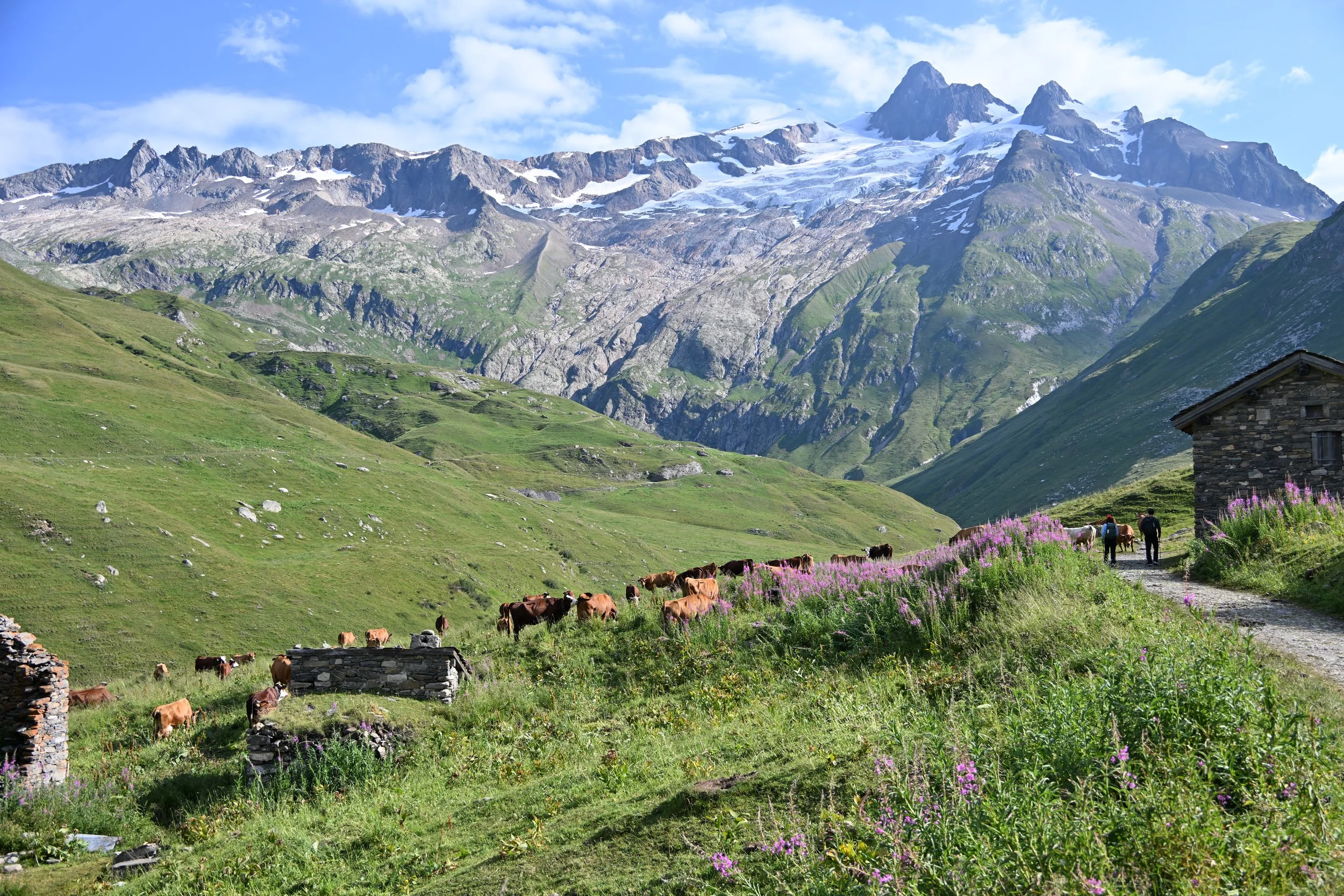
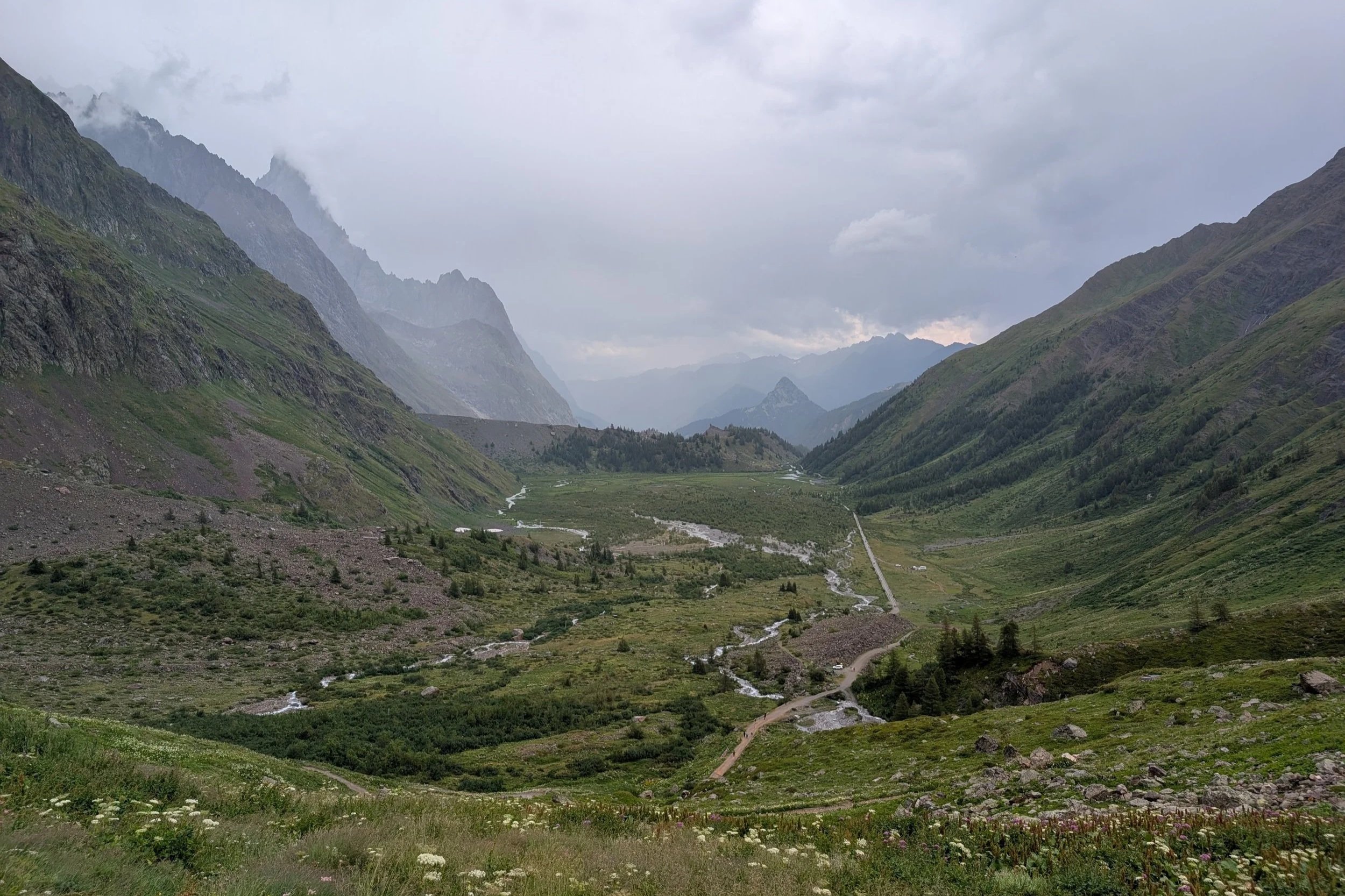
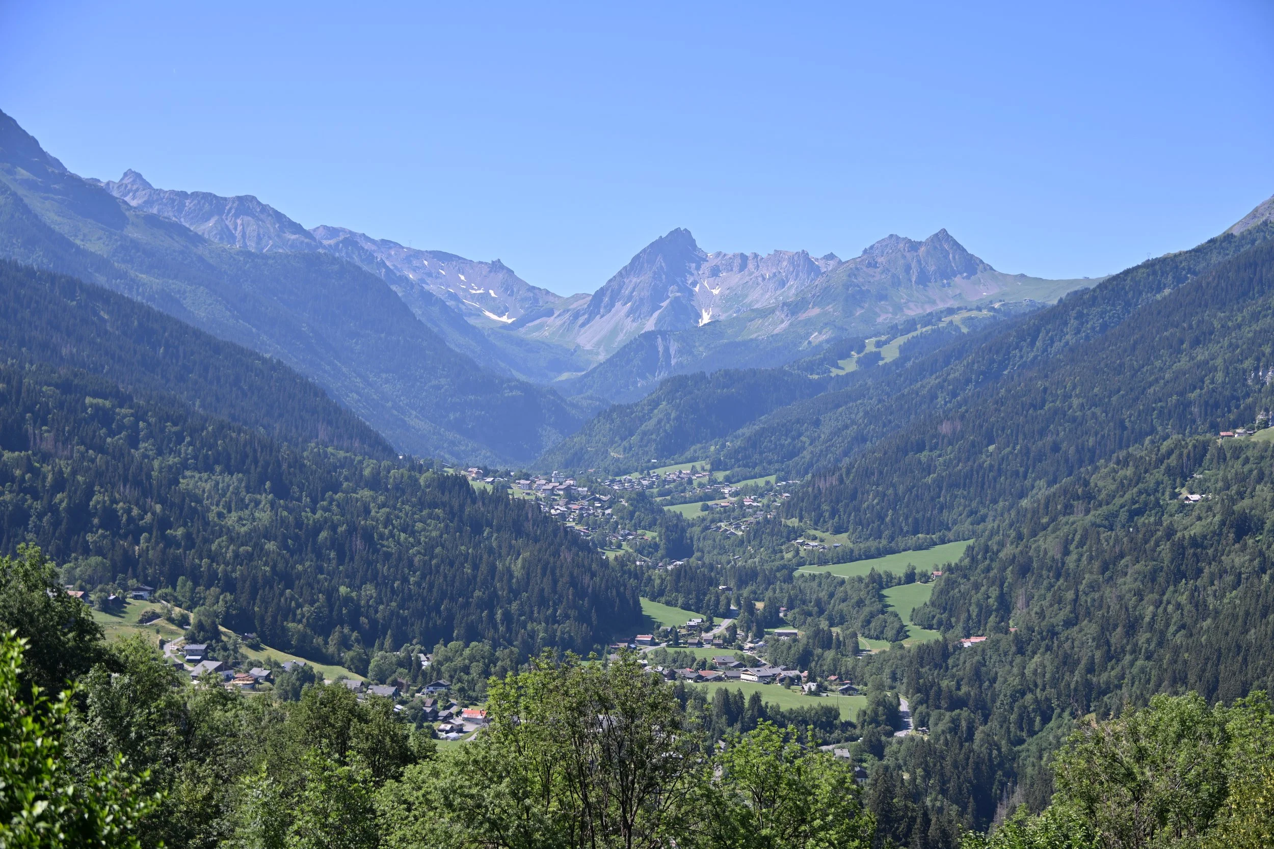
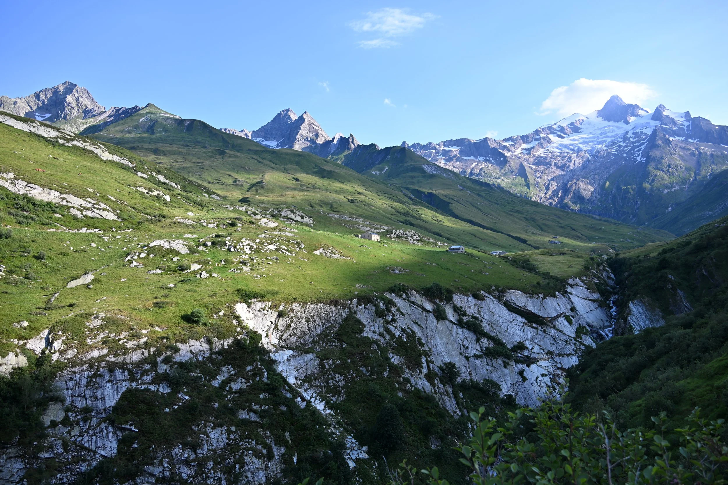
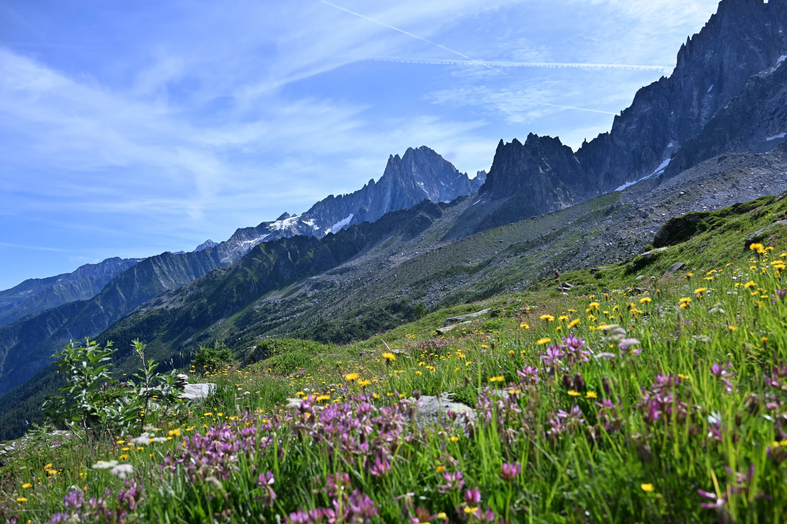
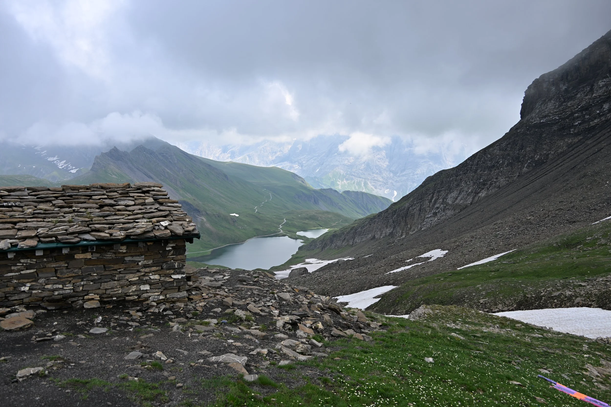
This was one of my favorites because of how much you can see -
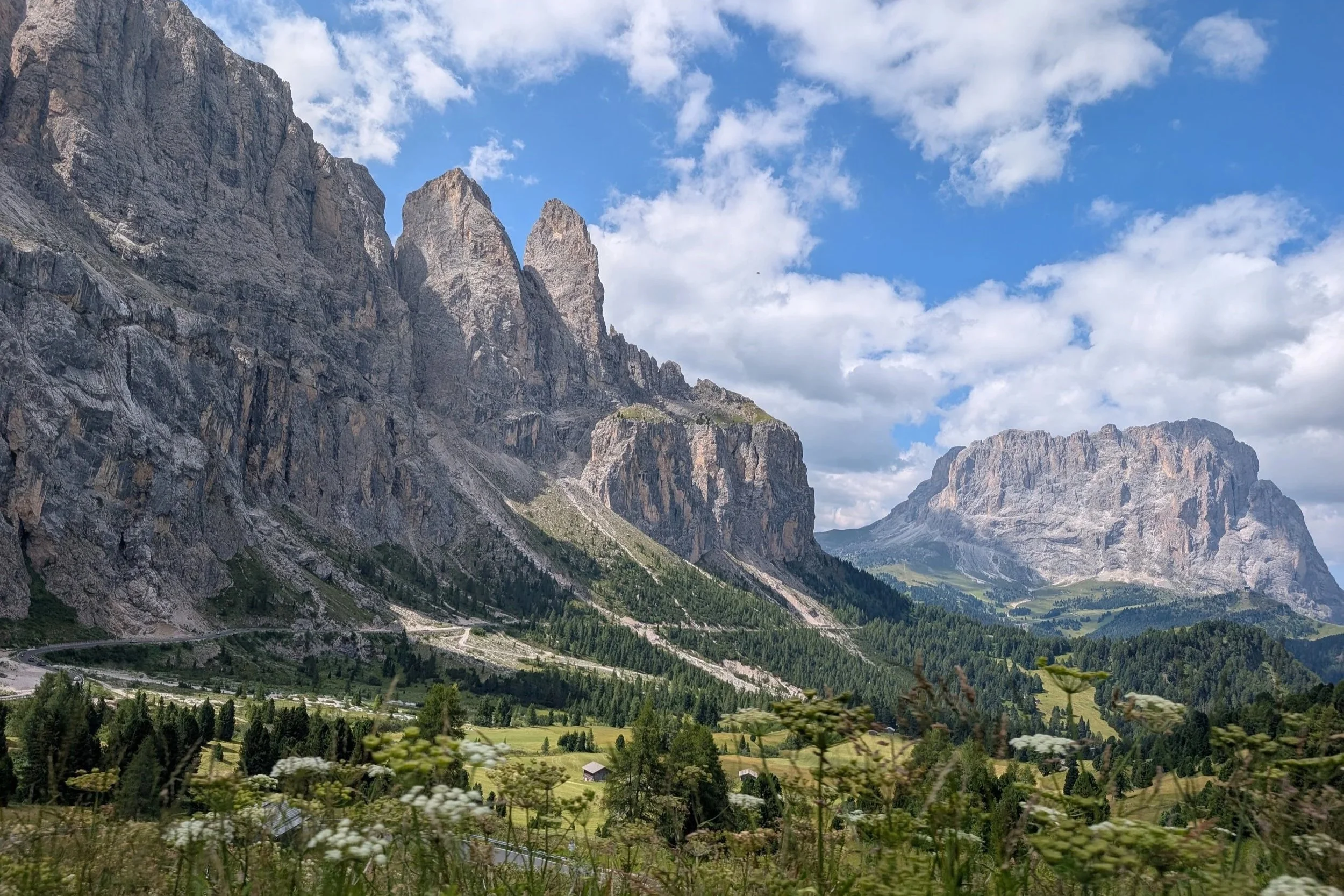
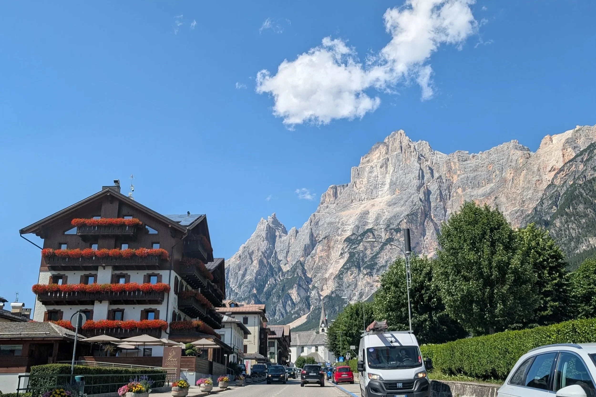
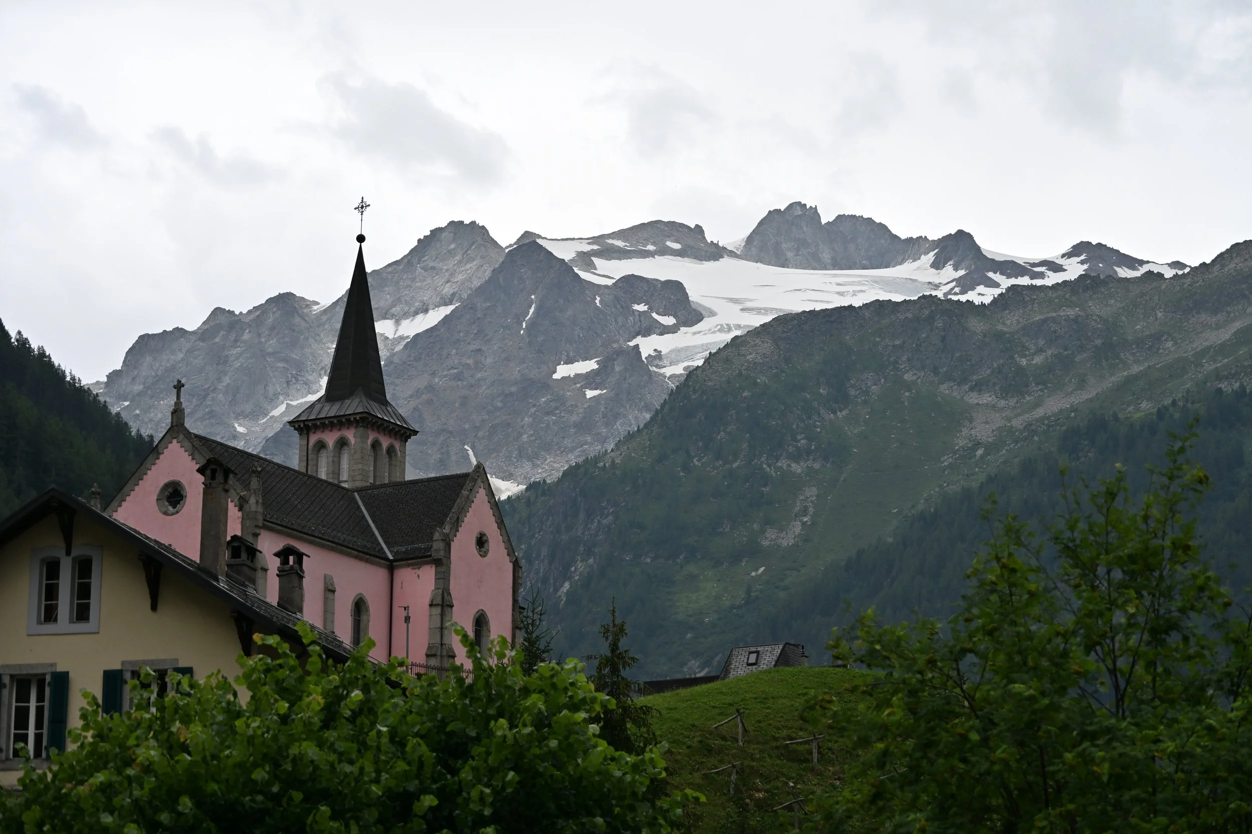
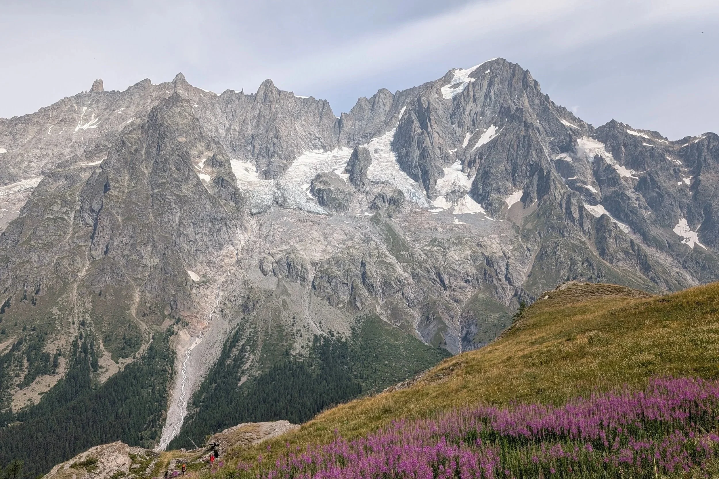
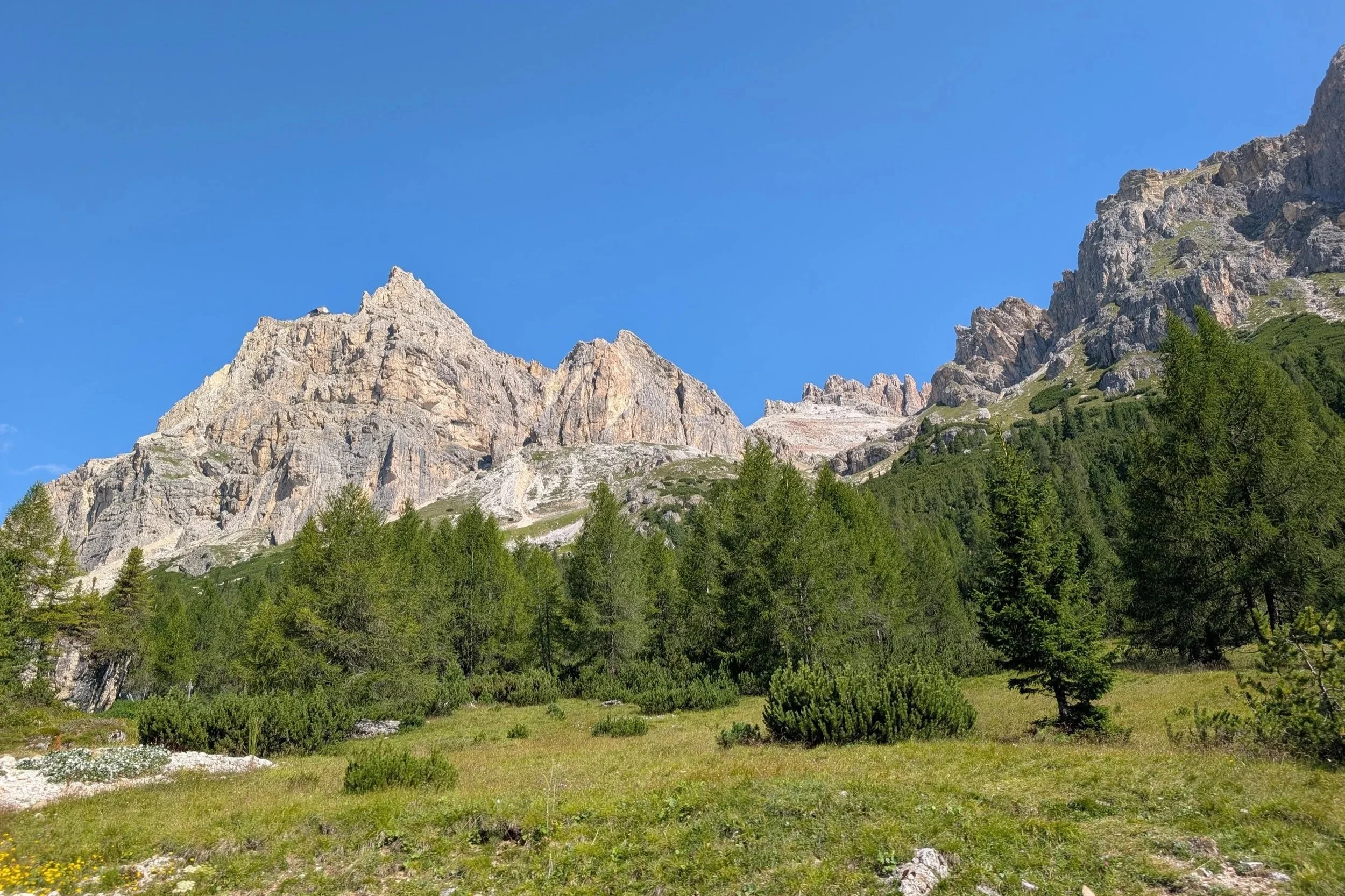
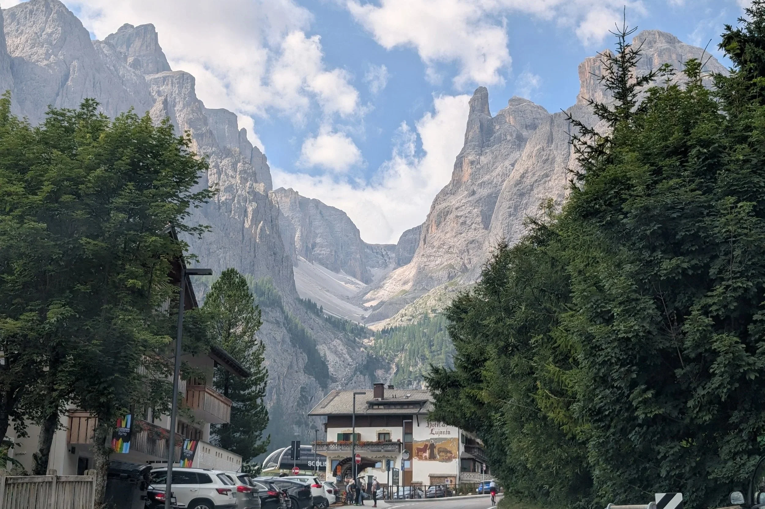
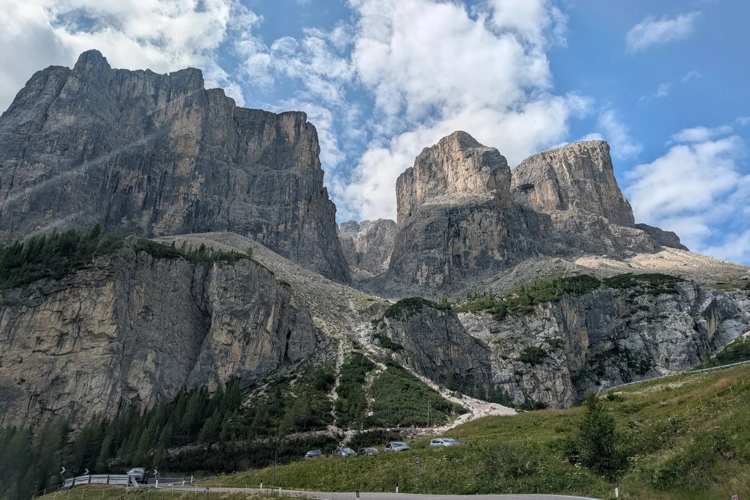
We had stayed and hiked in the eastern Dolomites, while these last series of pictures were taken as we were passing through the western ones.
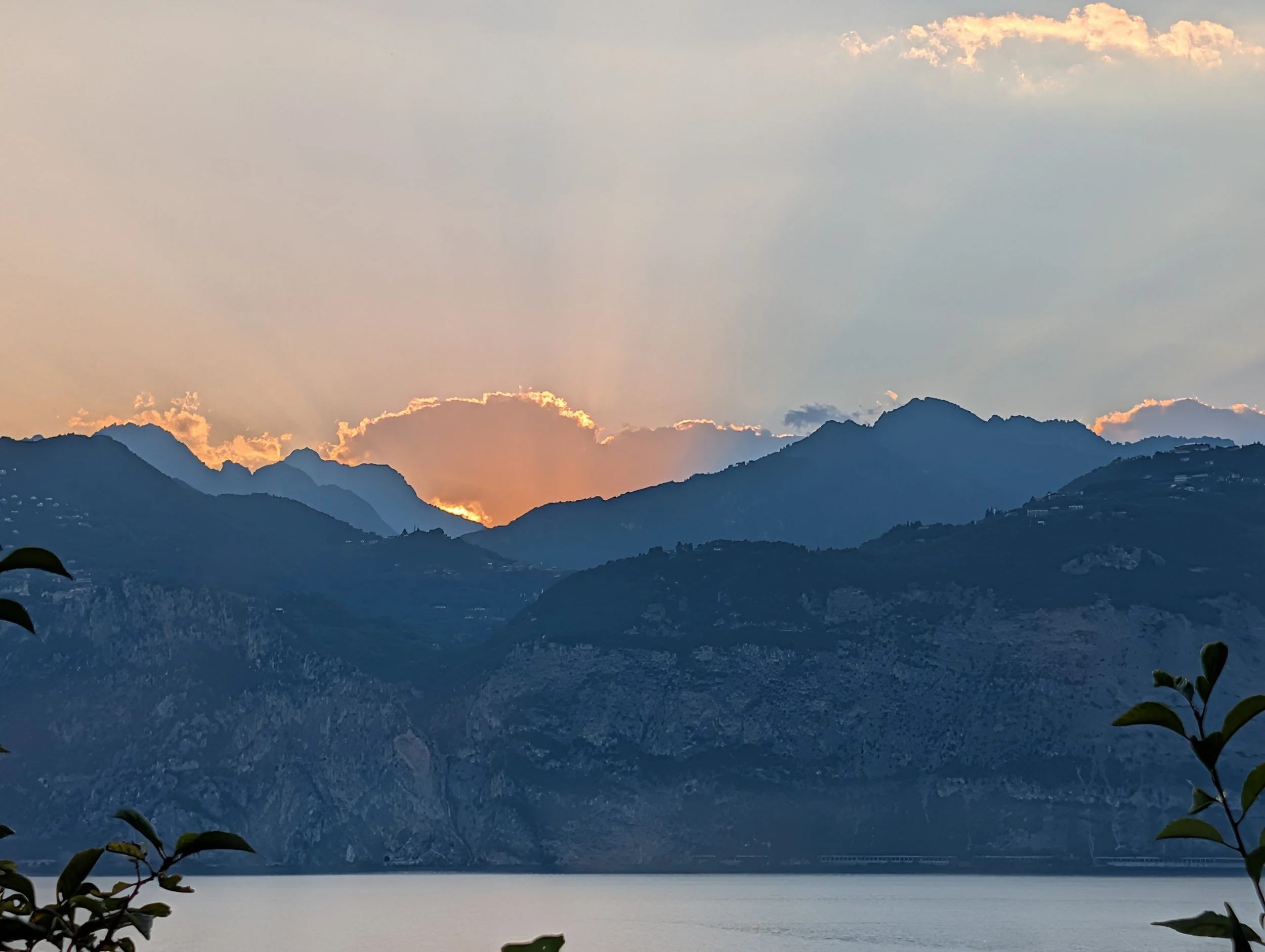
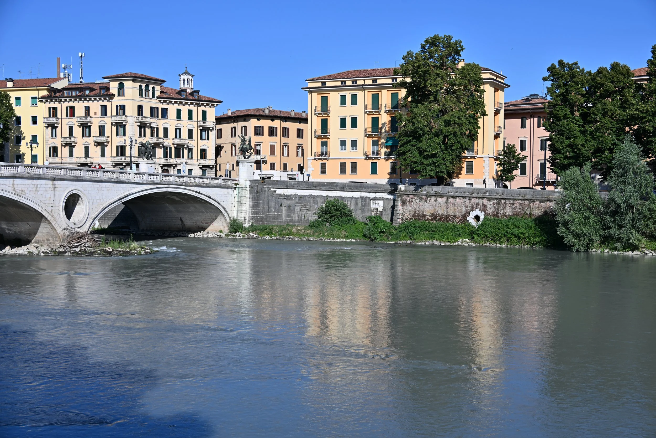
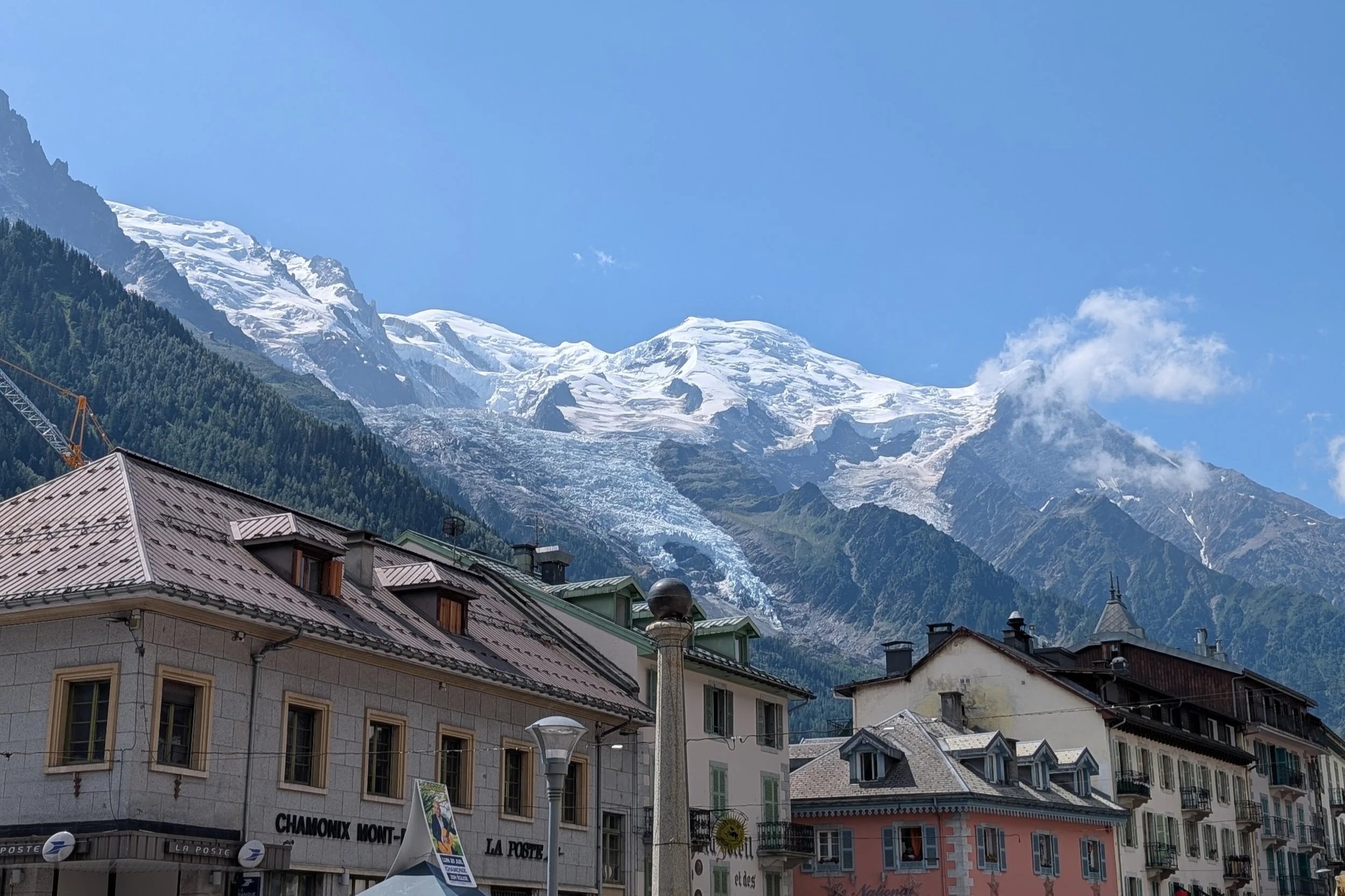
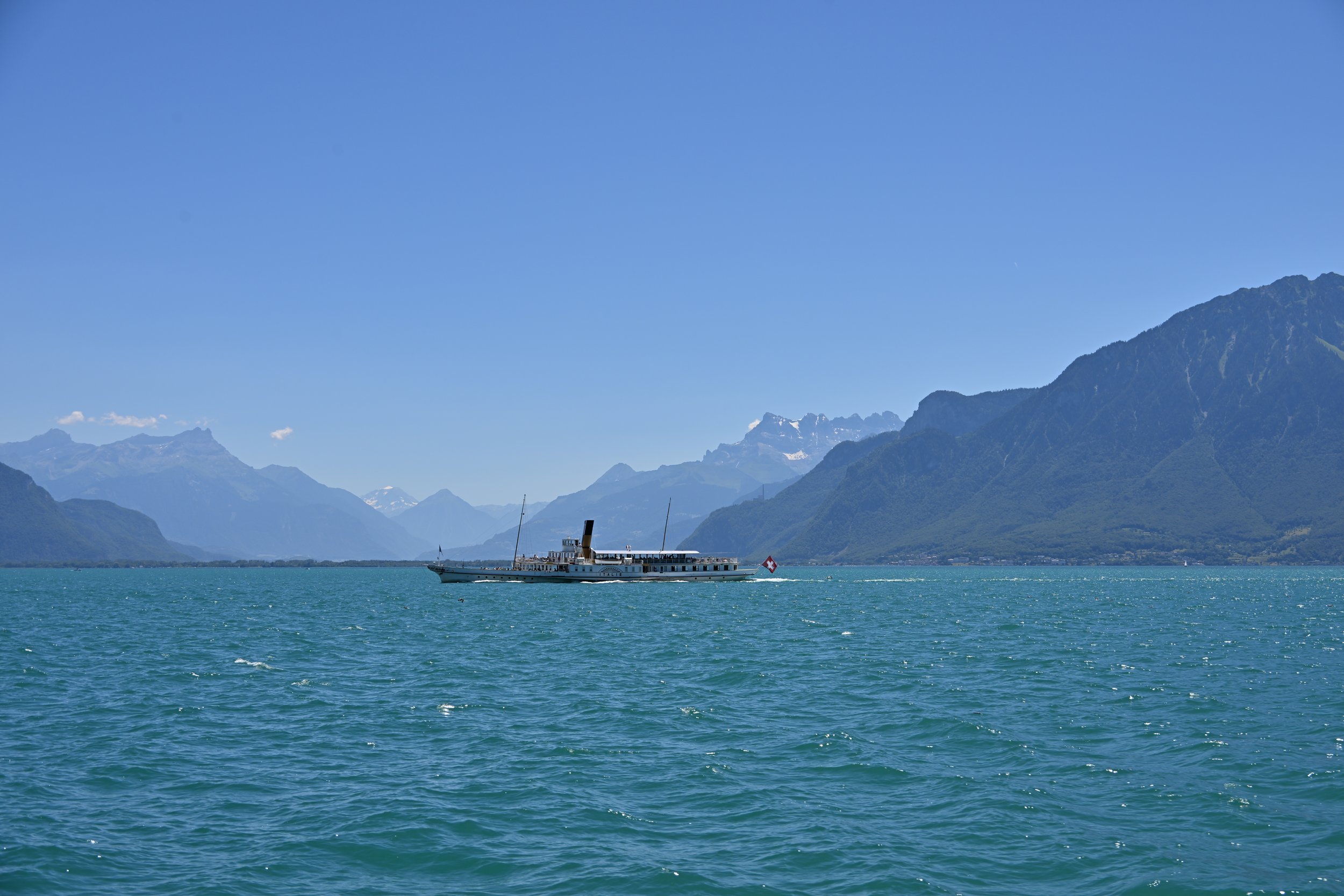
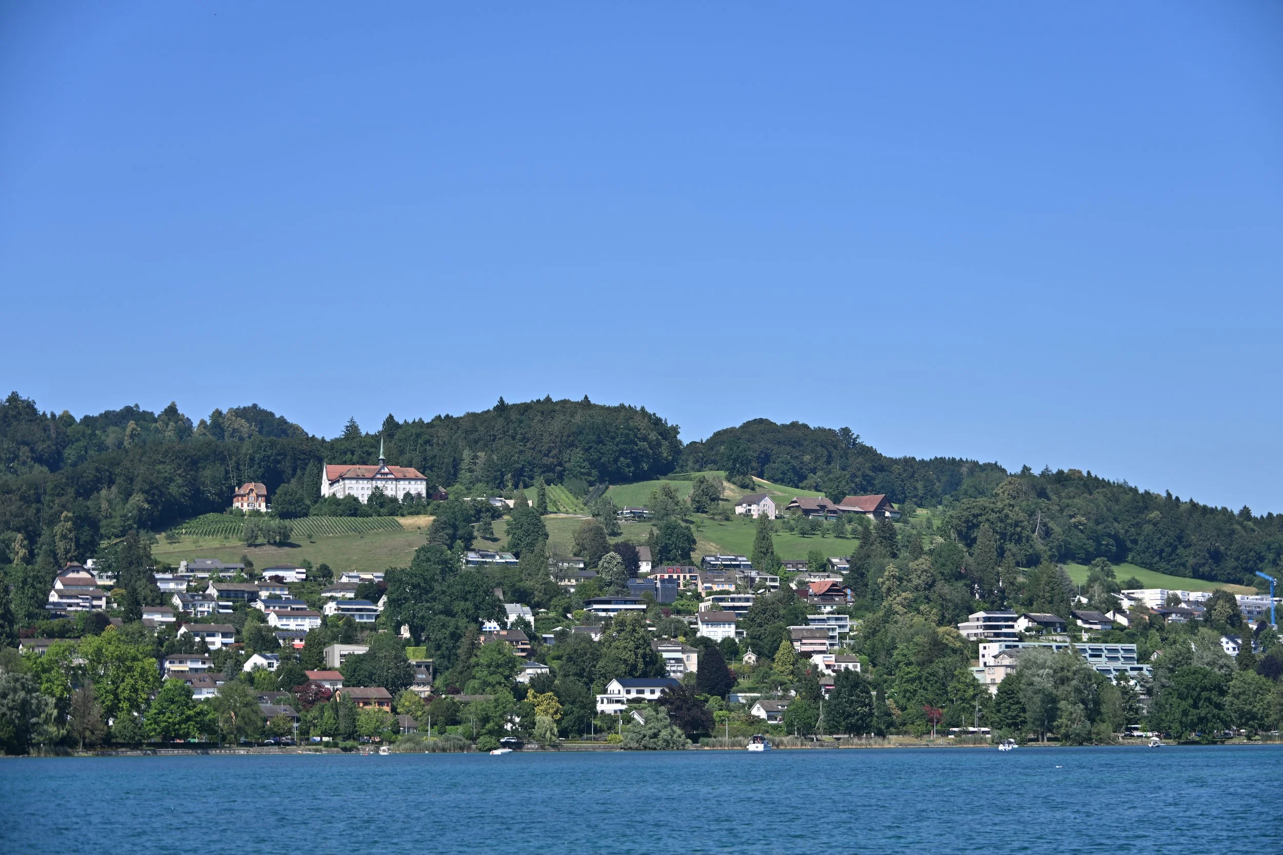
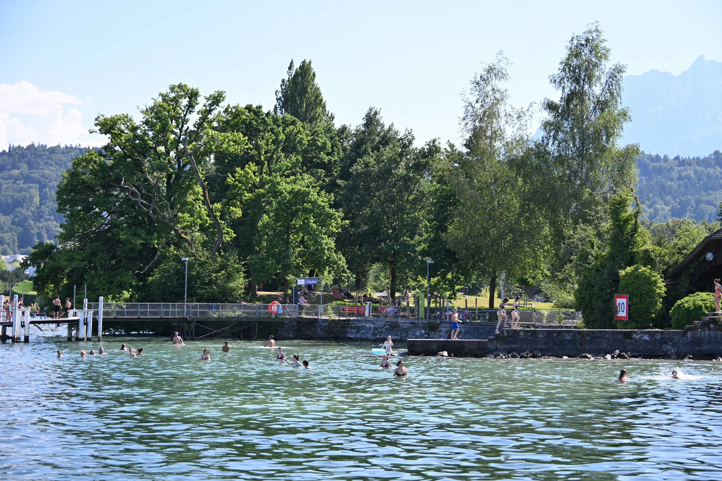
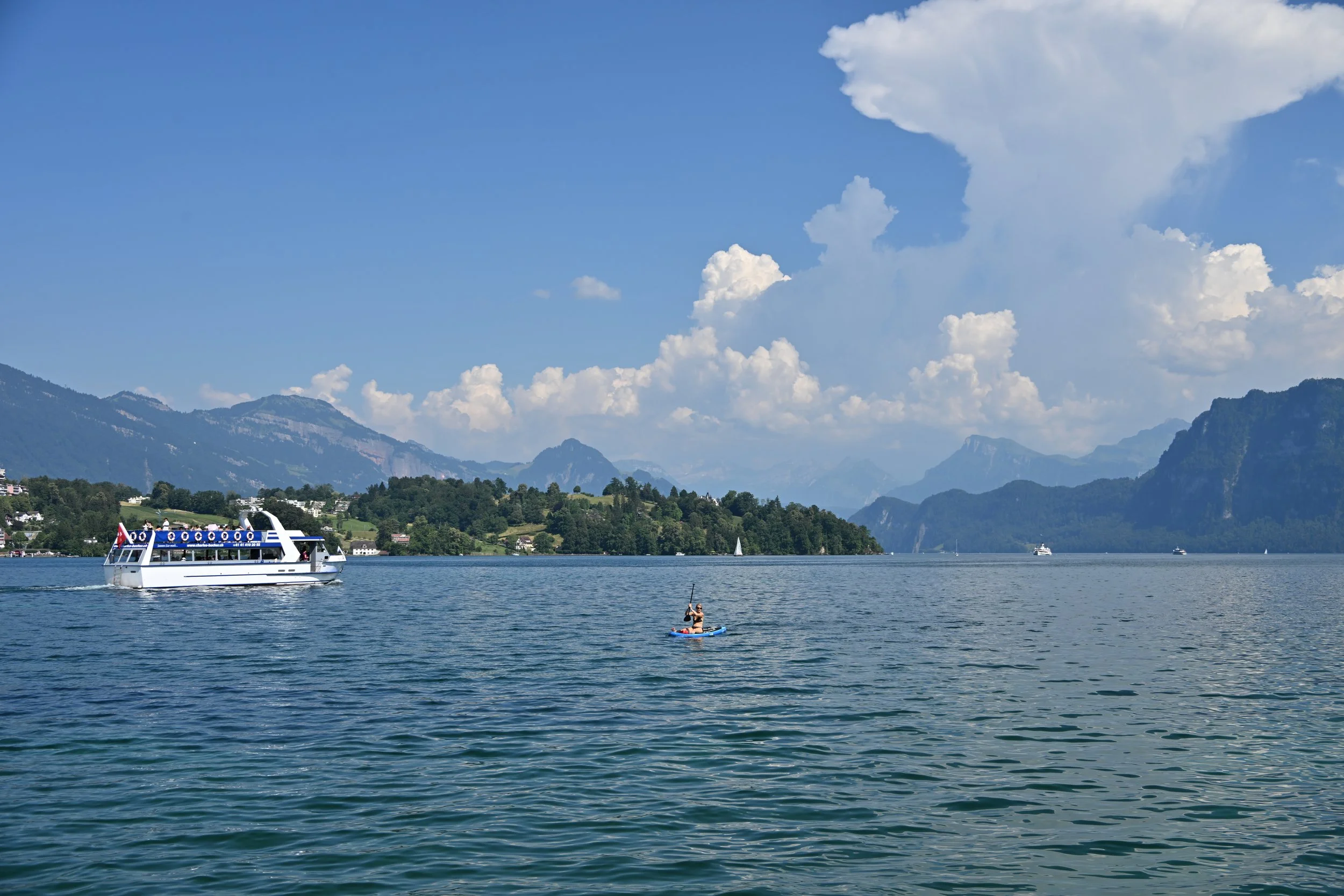
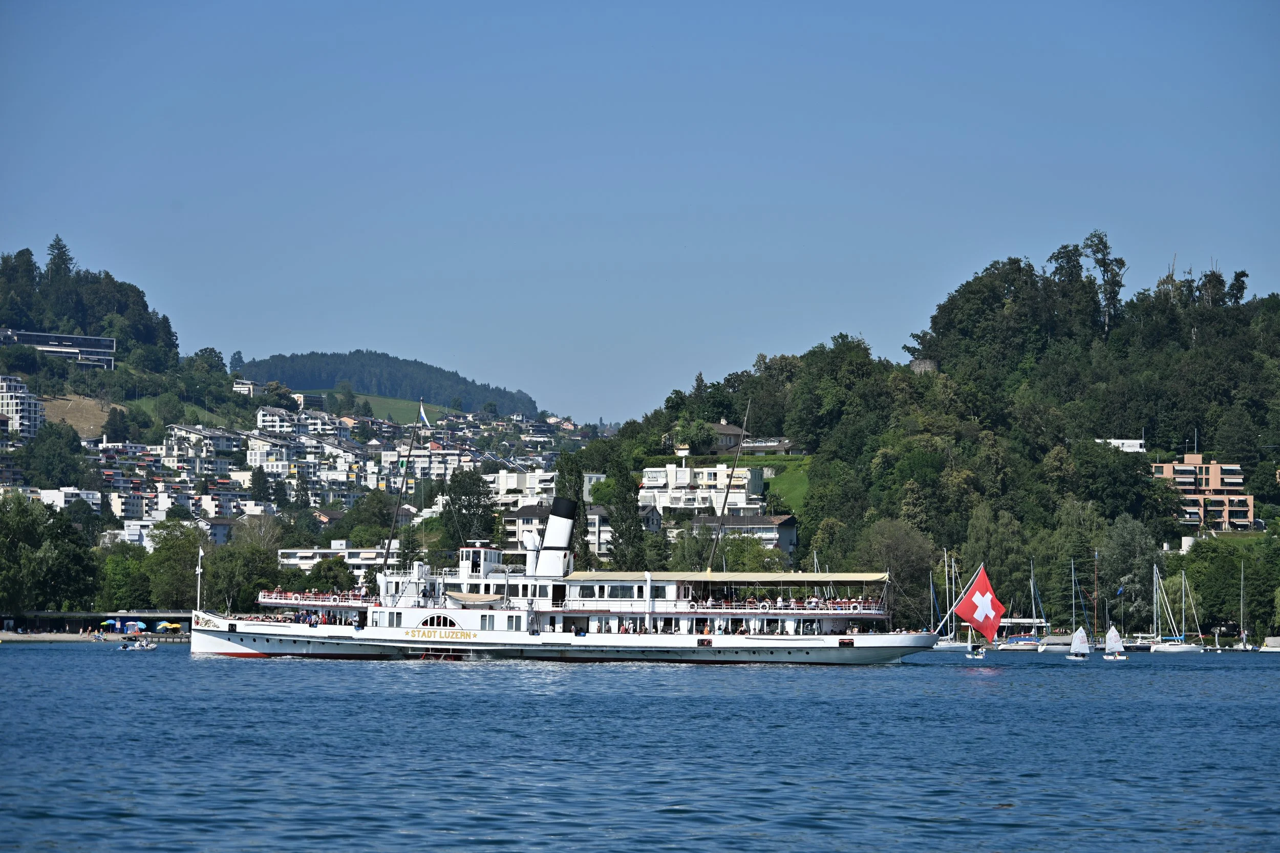
From the Dolomites, we turned south, heading to Lake Garda, which is the largest lake in Italy, at 32 miles long. It is a favorite of tourists and watersports enthusiasts -

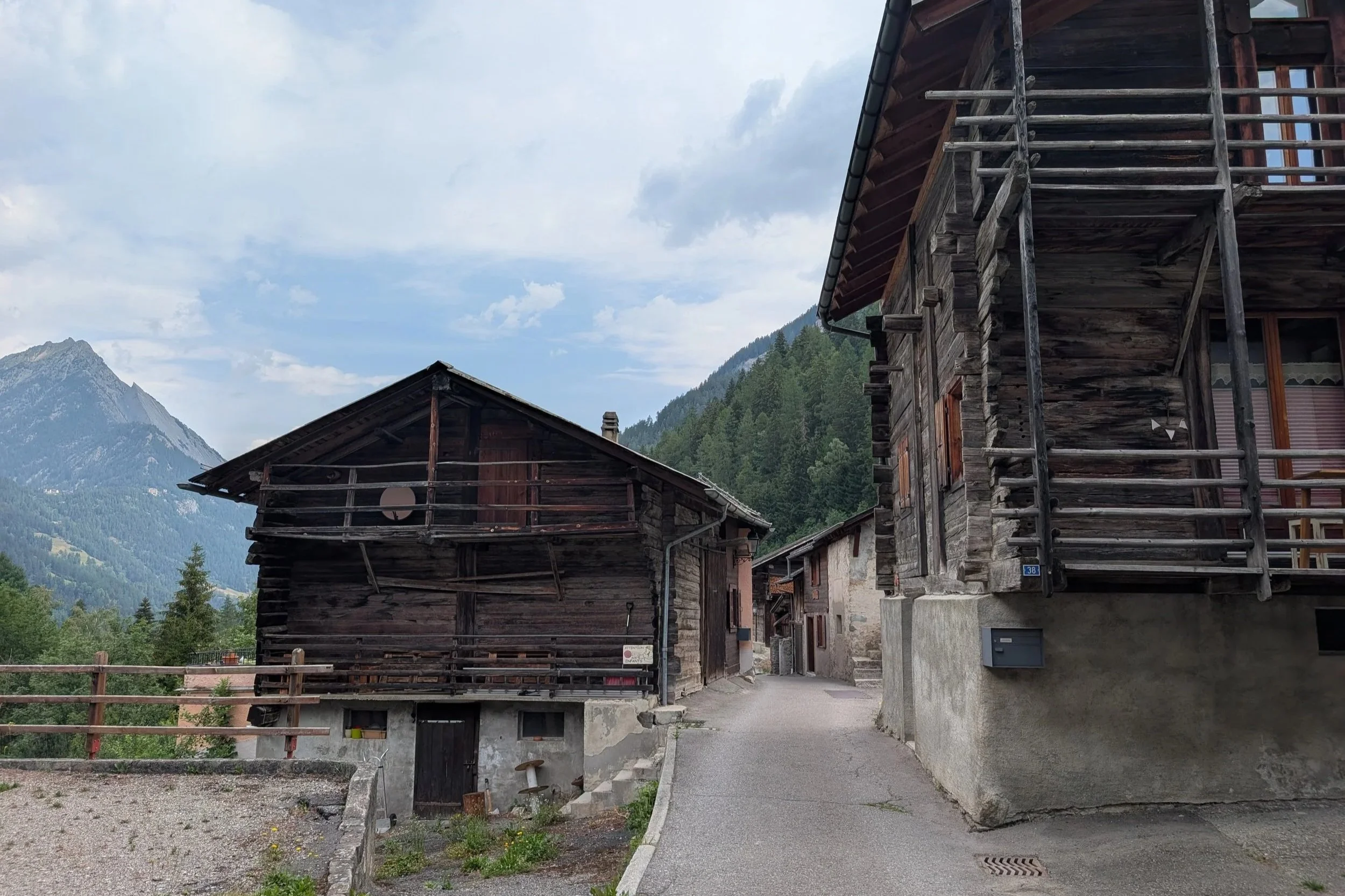
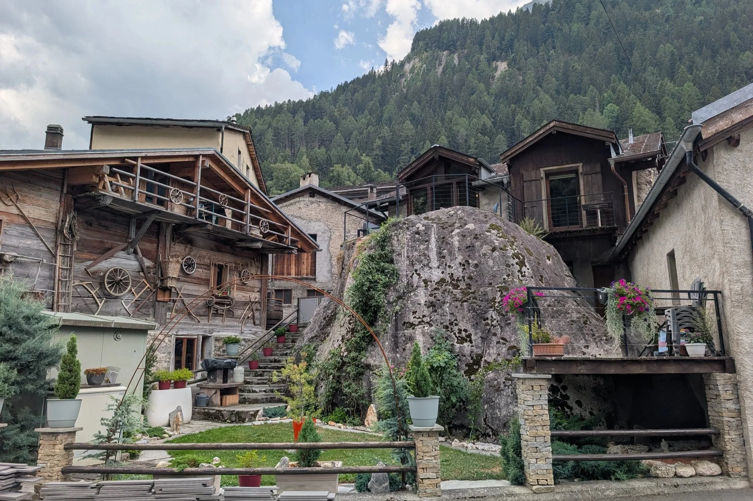
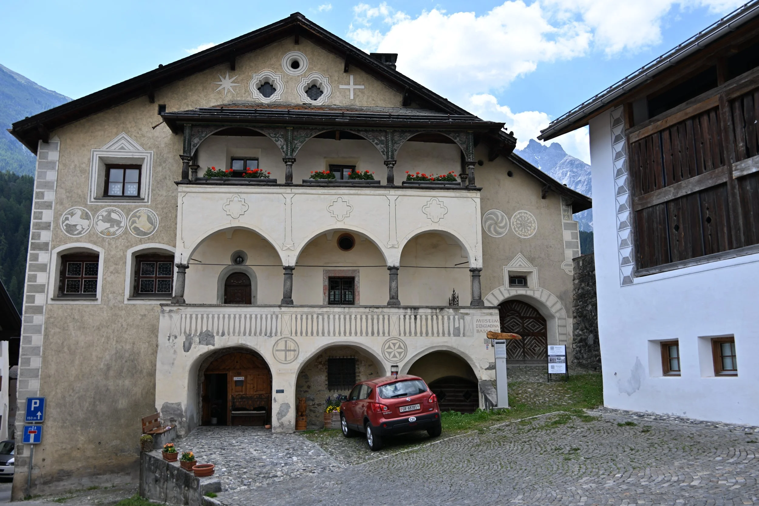
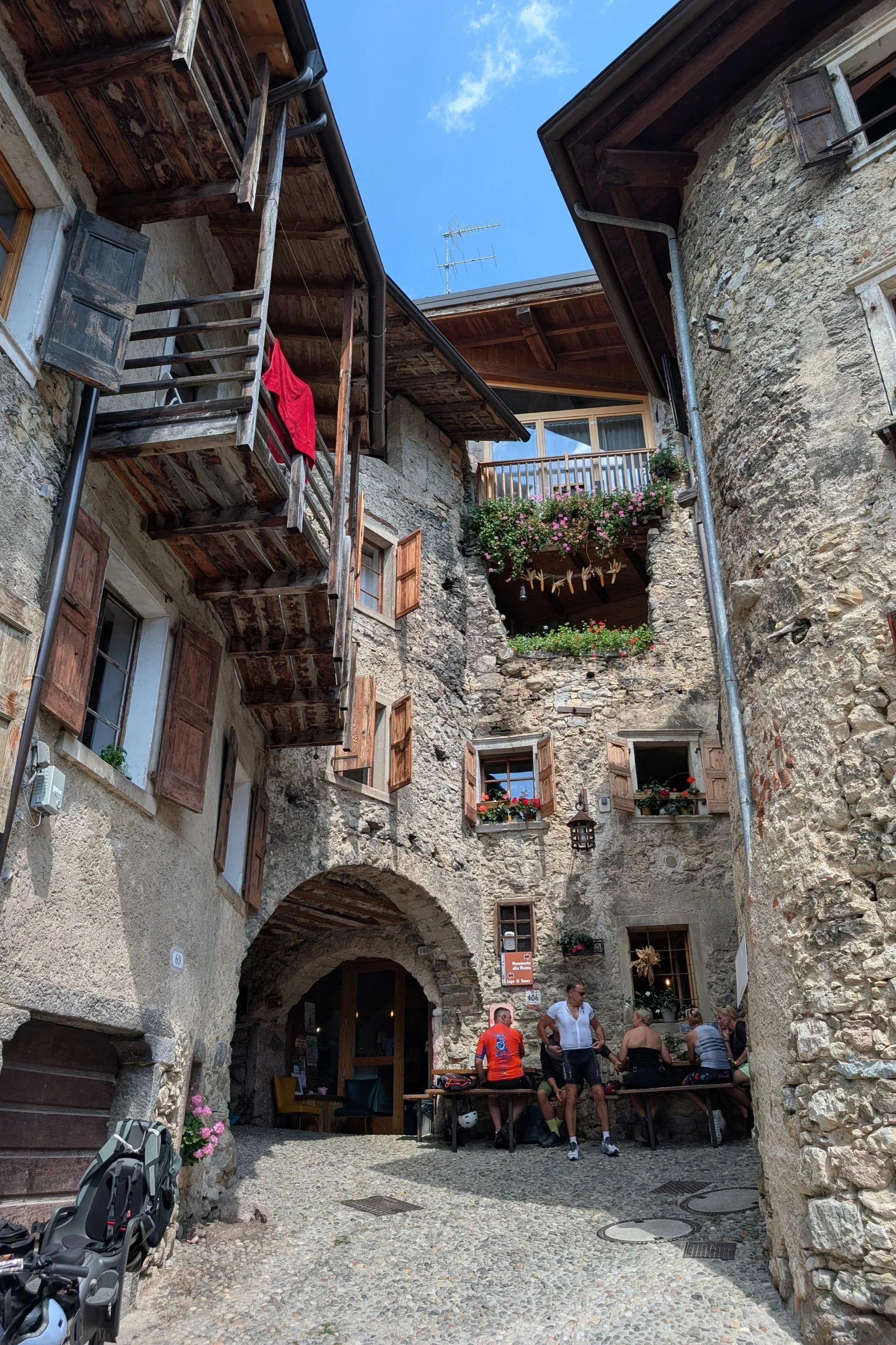
At the northern end, we stopped for a quick visit in Borgo medievale di Canale, an intact medieval village built around 1200 AD.
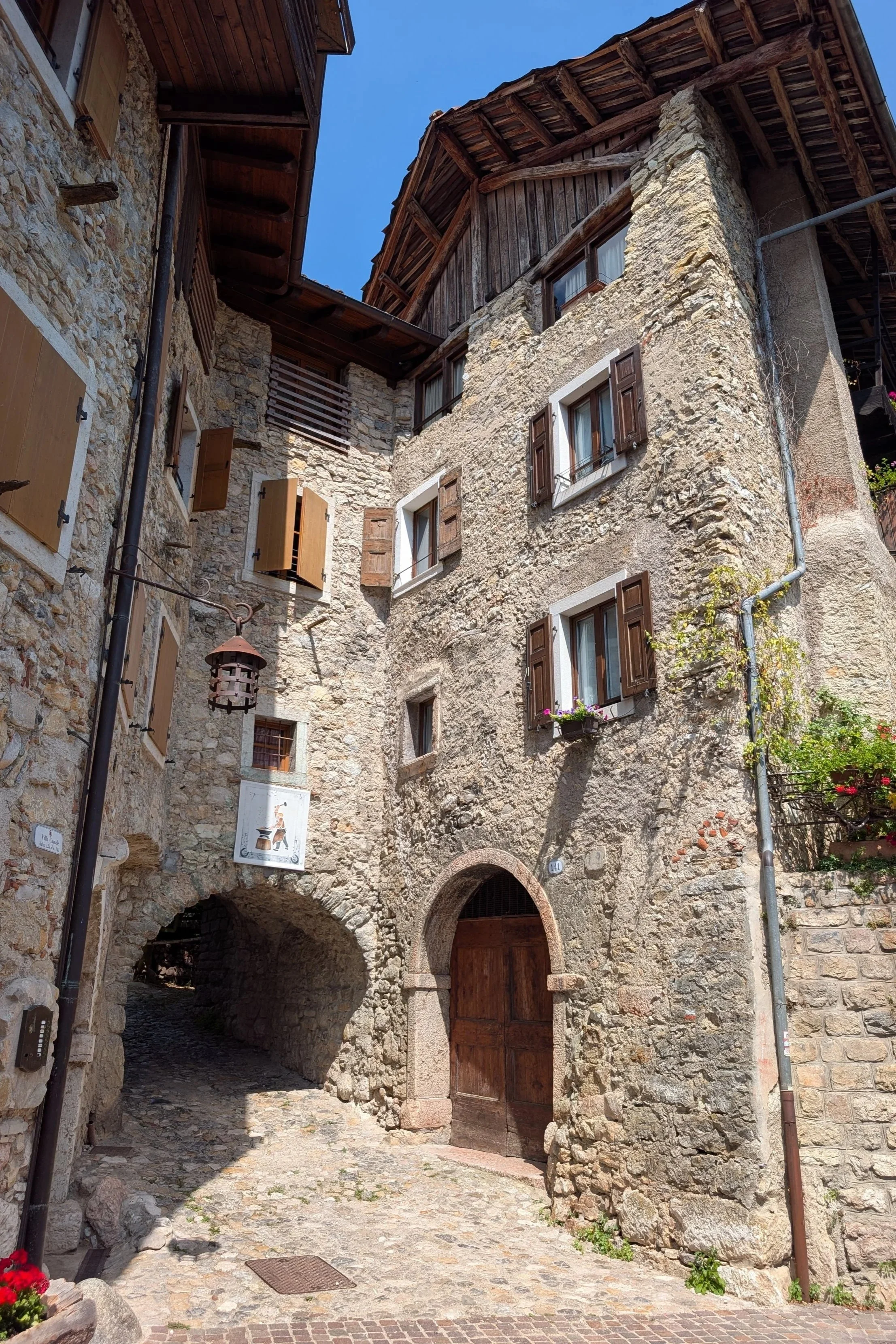
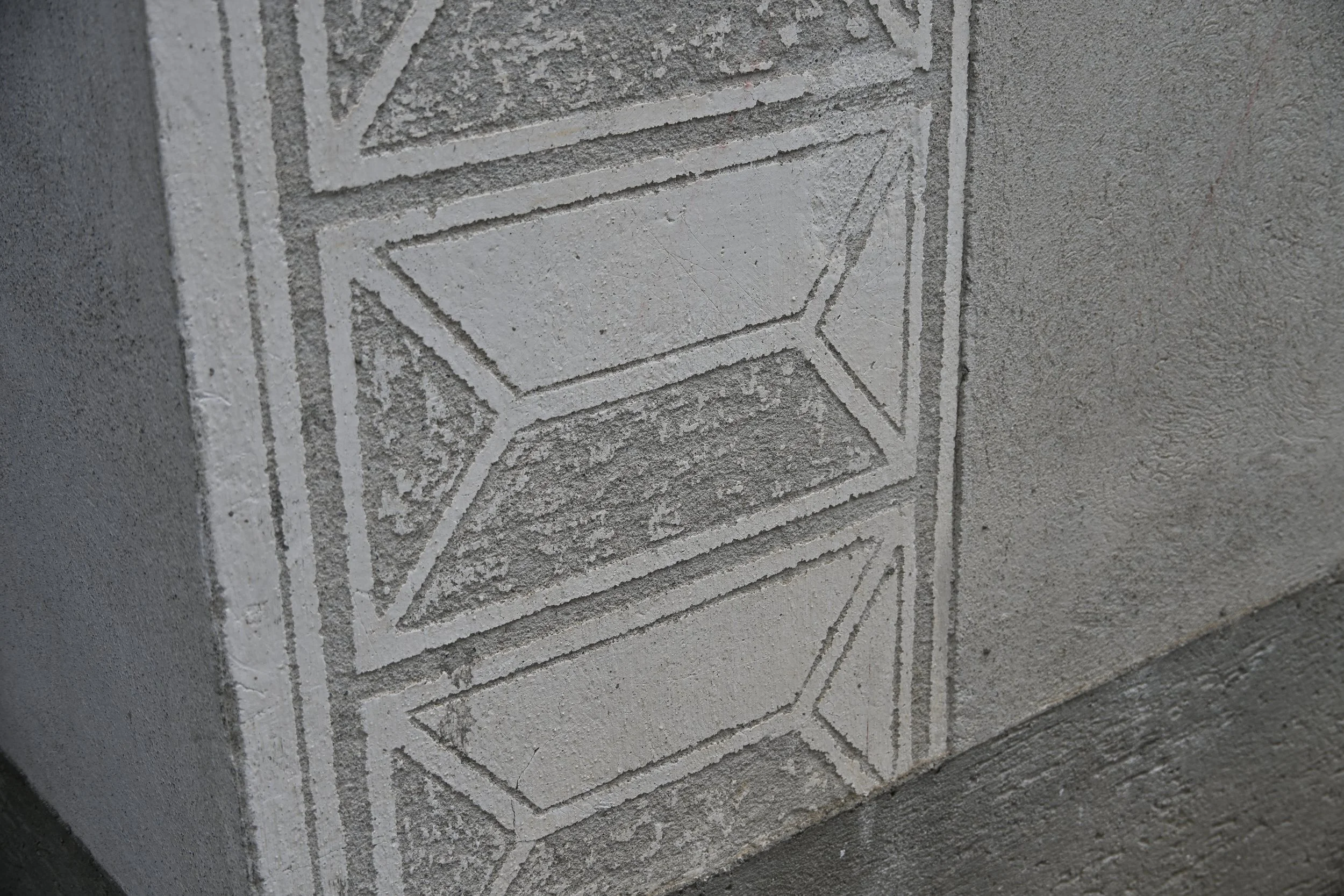
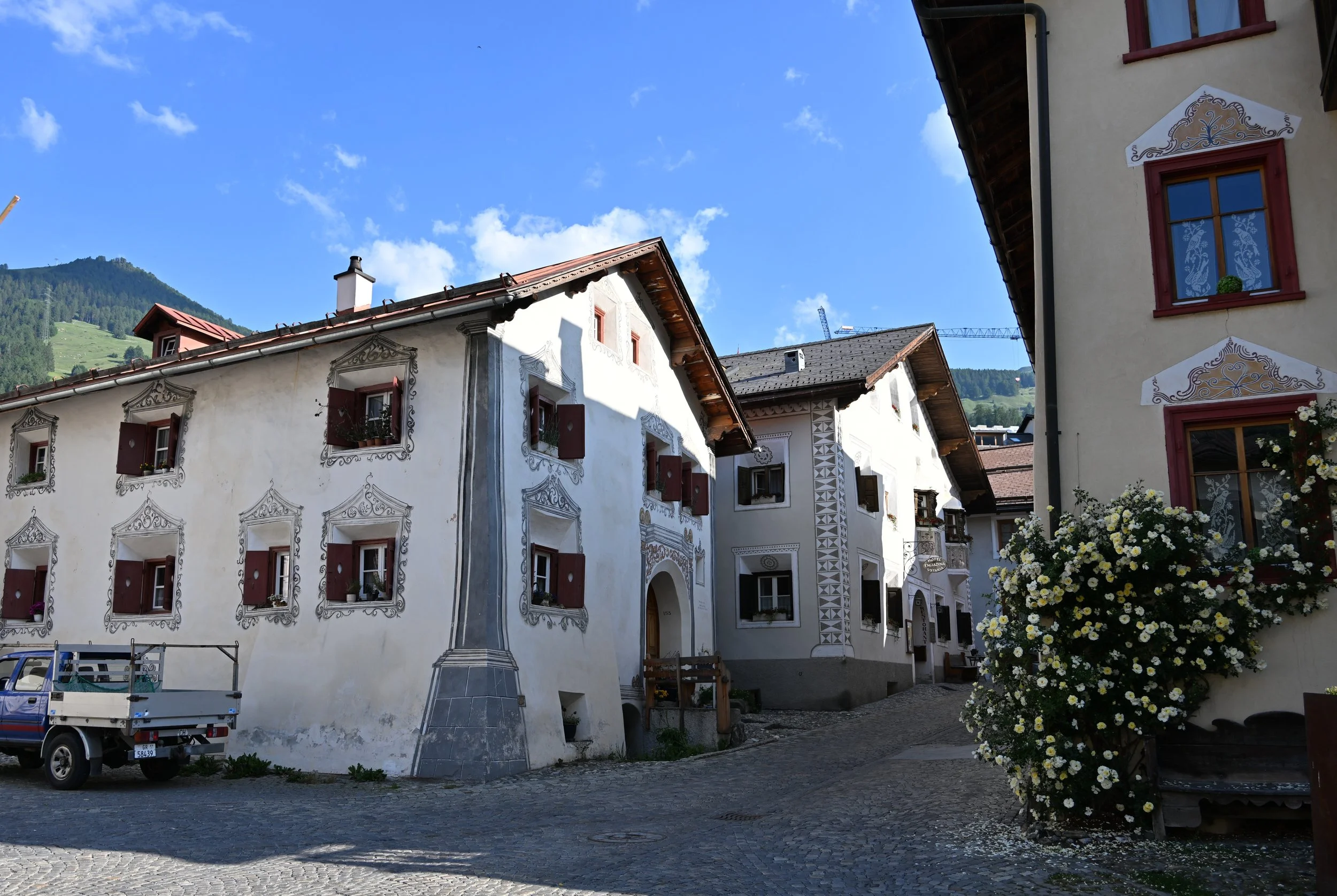
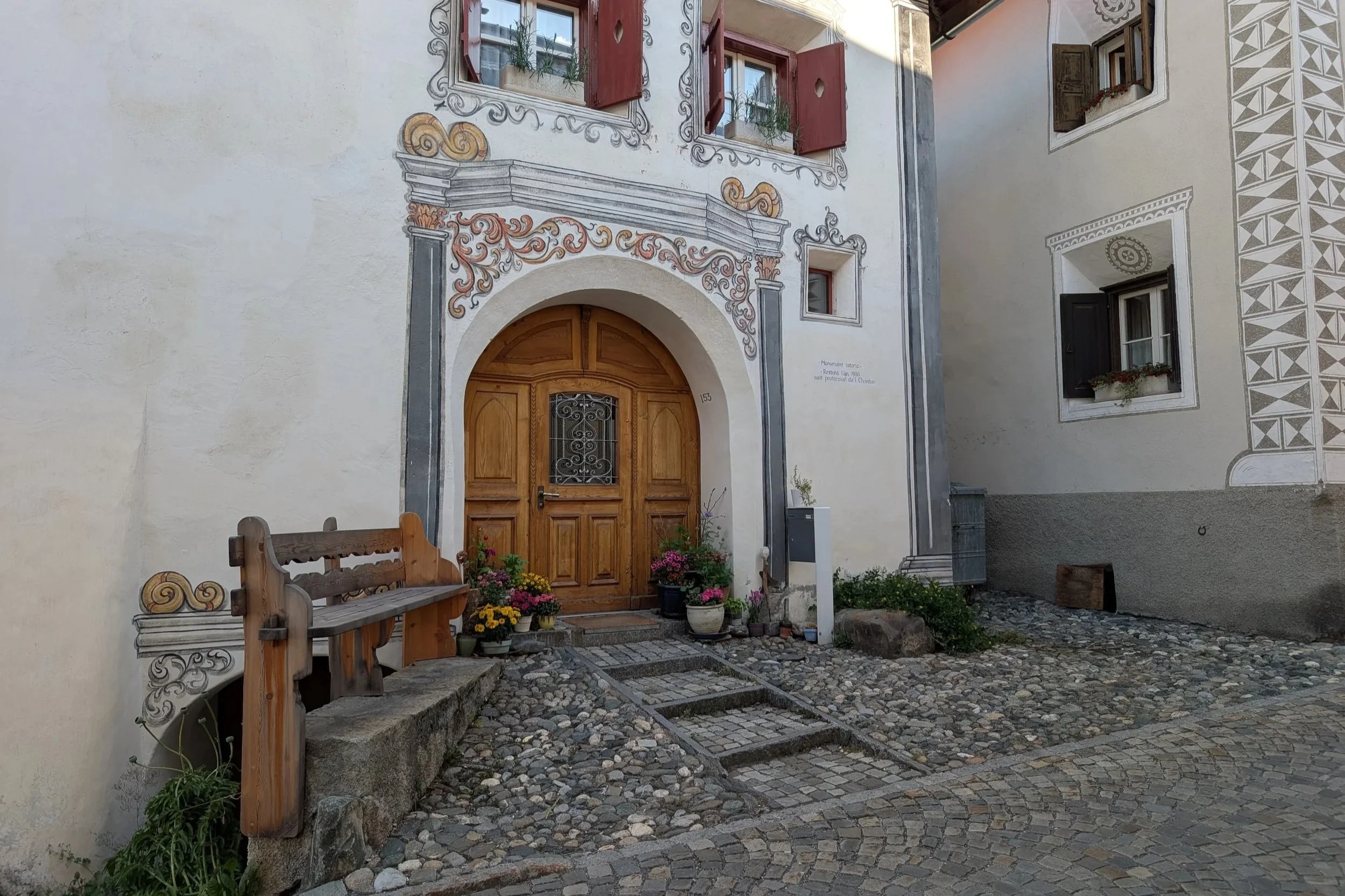
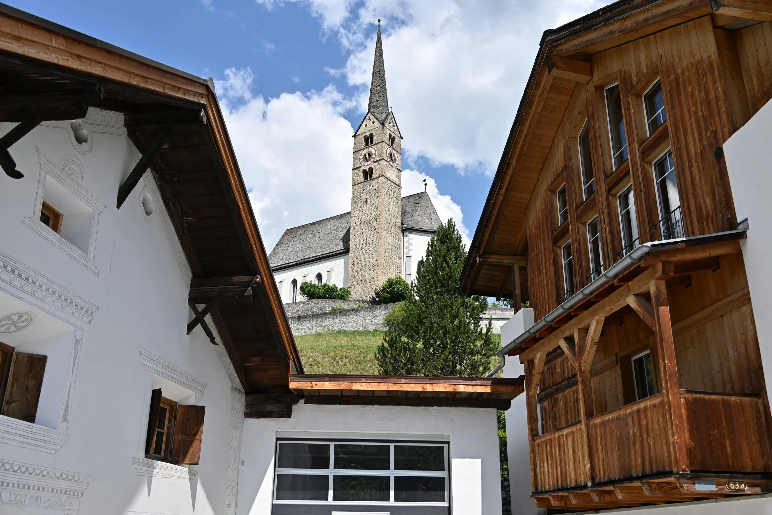
There are interconnected stone houses, with low archways and curving, intersecting narrow streets -

It was fascinating to wander in.
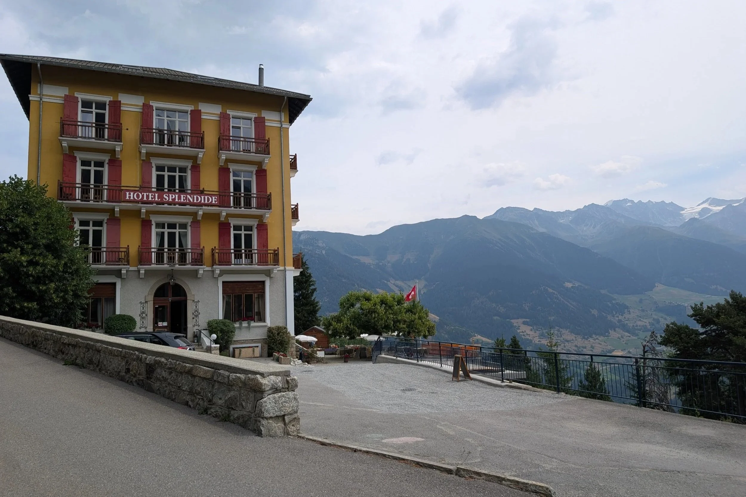
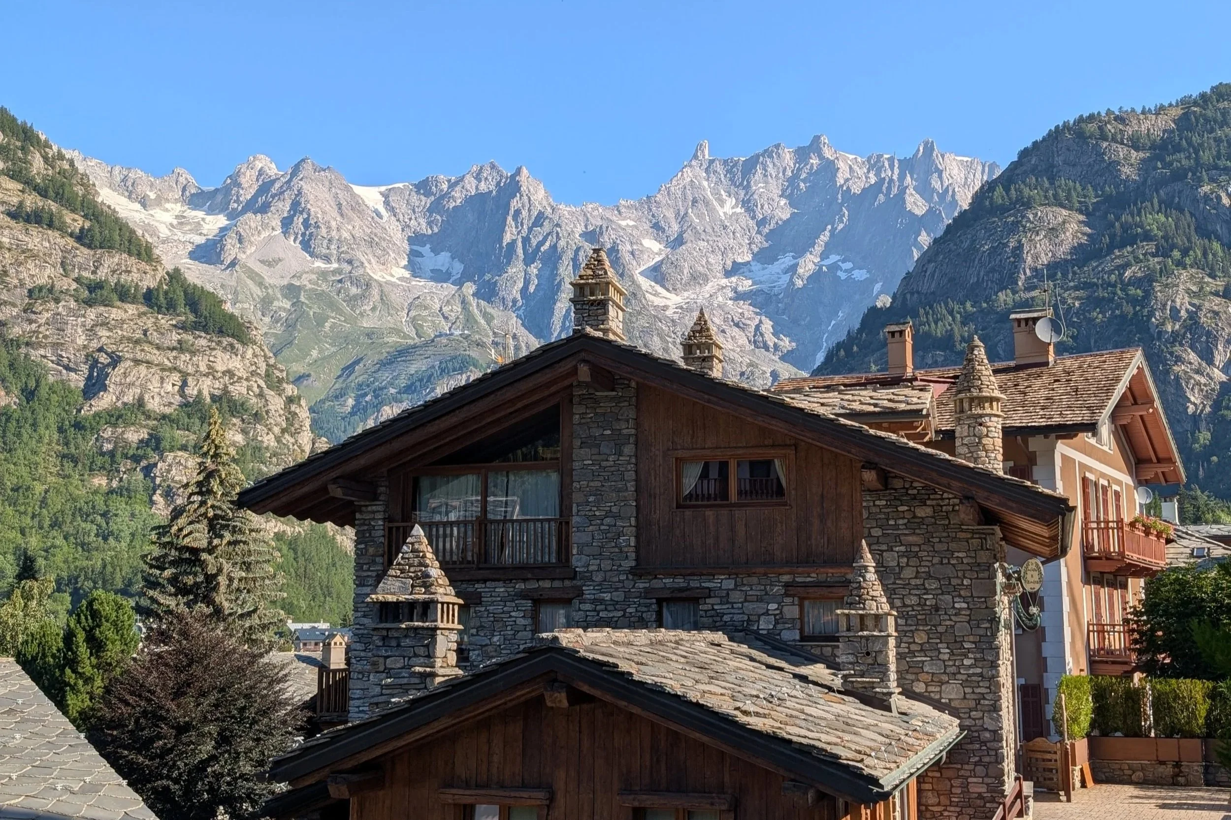
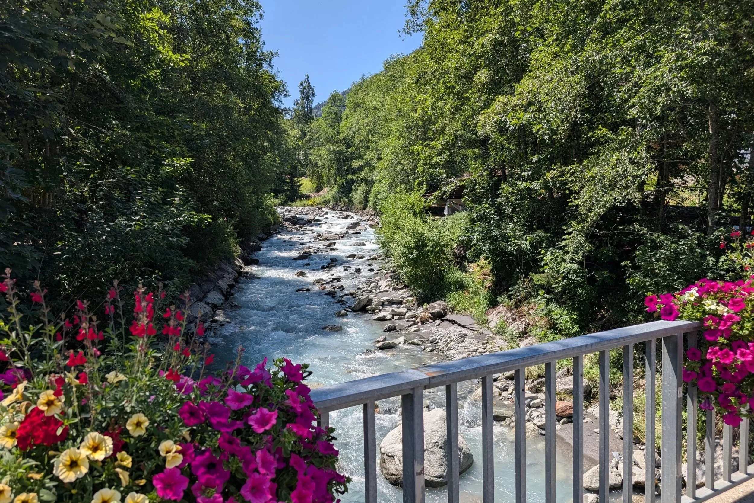
While visiting Lake Garda, we stayed in the town of Malescine…
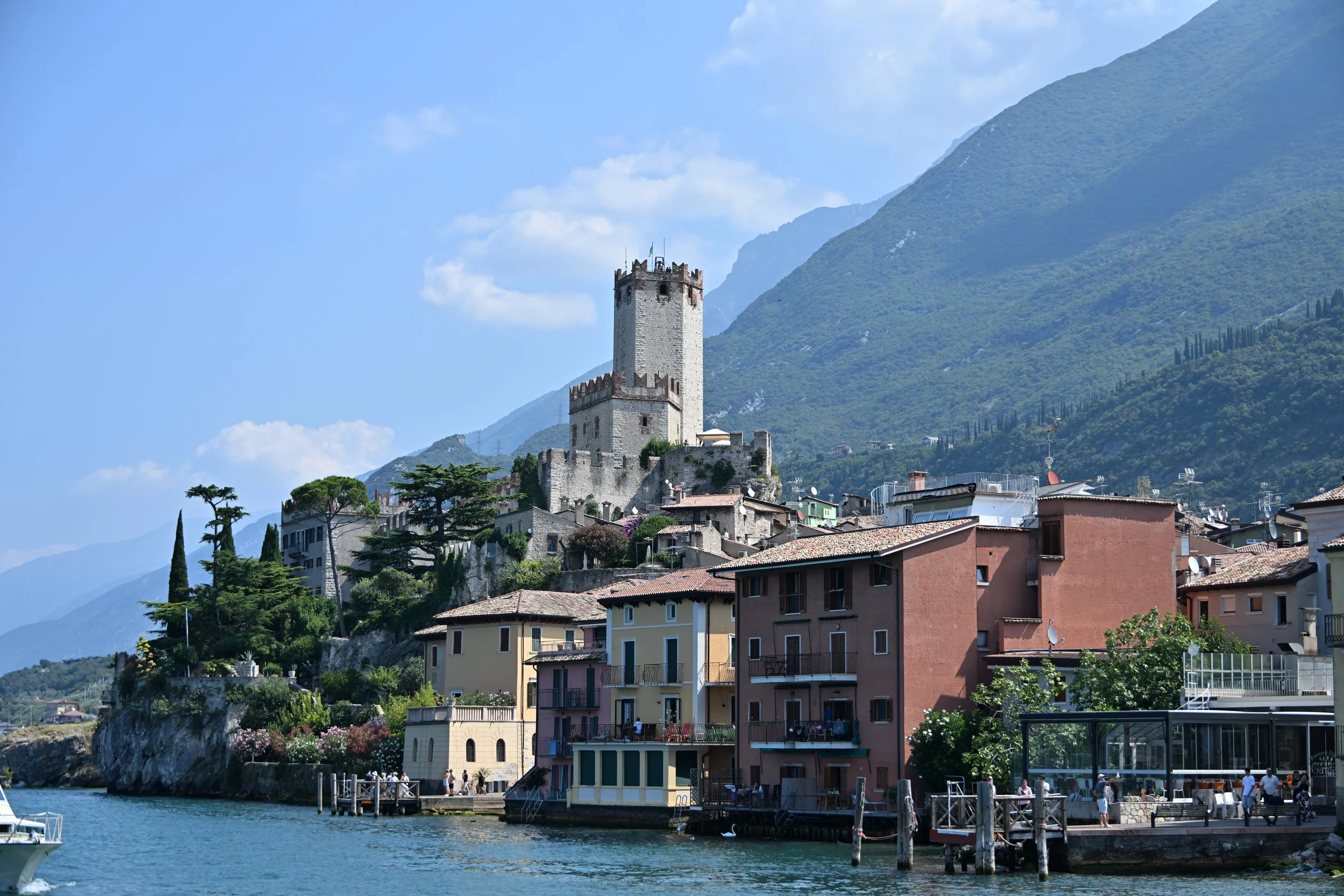
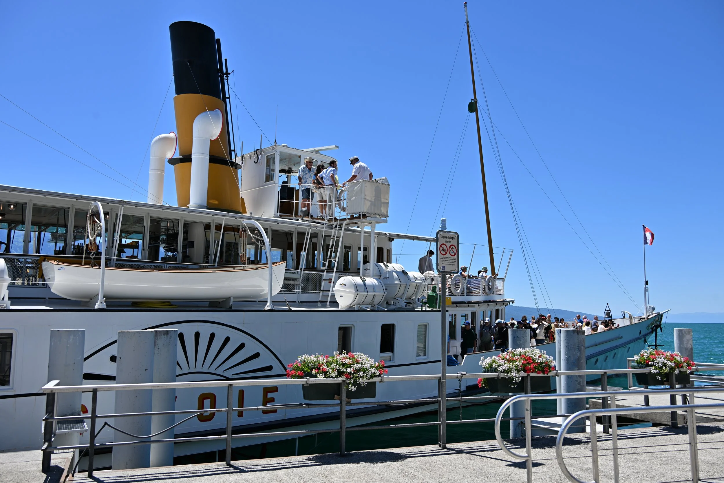
… which was nice as it was fairly small, with less of the day-tripper hordes we saw elsewhere. We enjoyed a boat ride across the lake to Limone sul Garda…
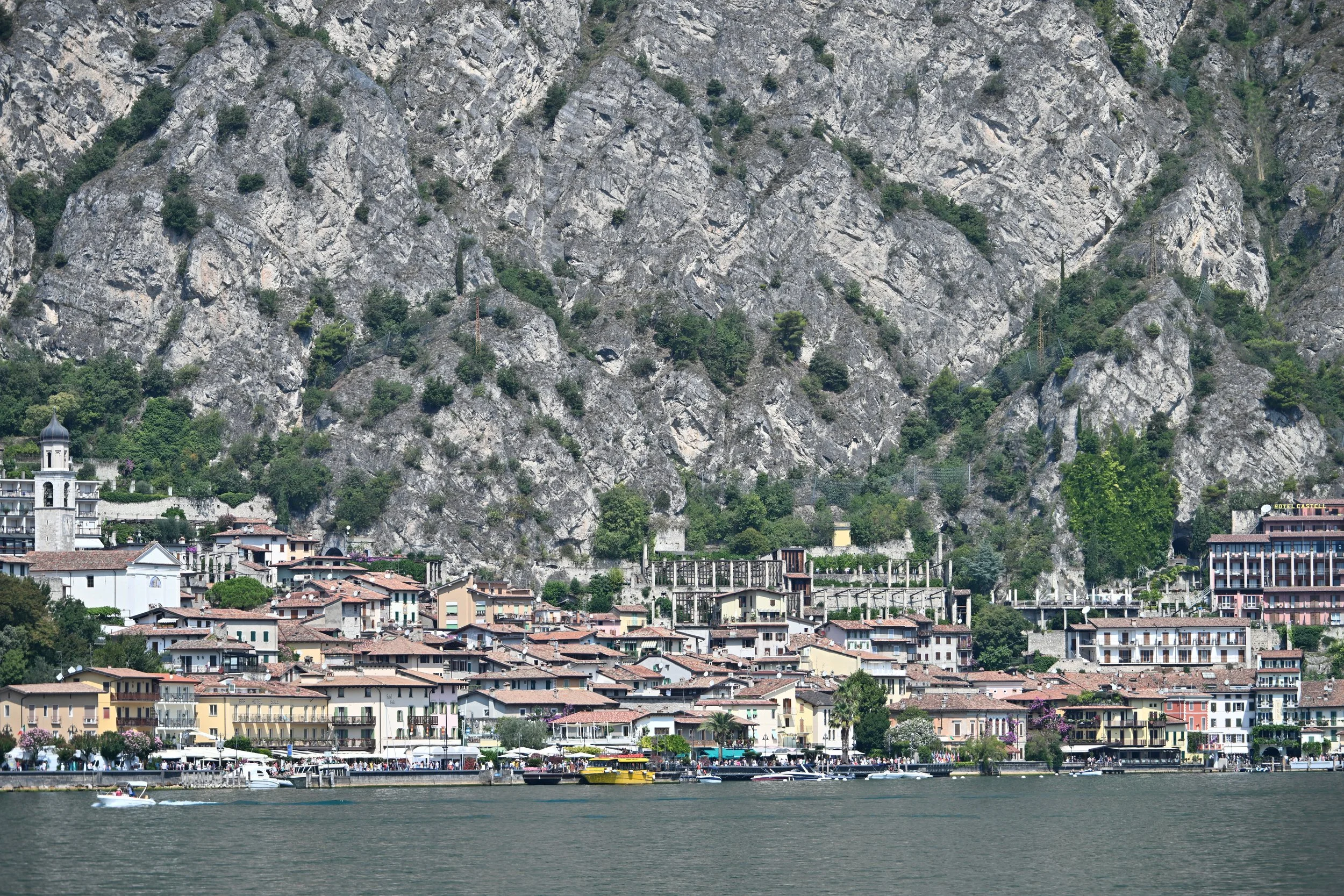
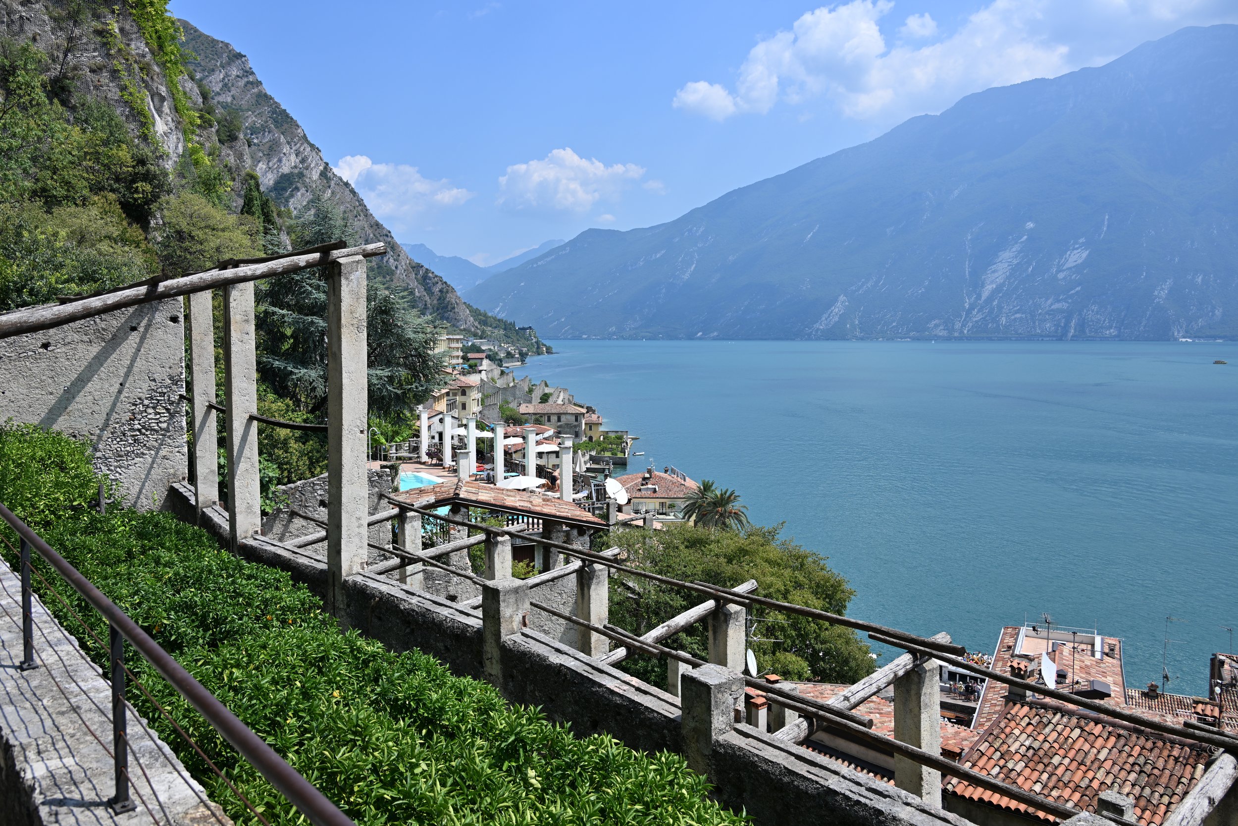
… which is the world’s northernmost commercial citrus-growing area, and has been since the 18th century. We visited the Limonaia del Castel…
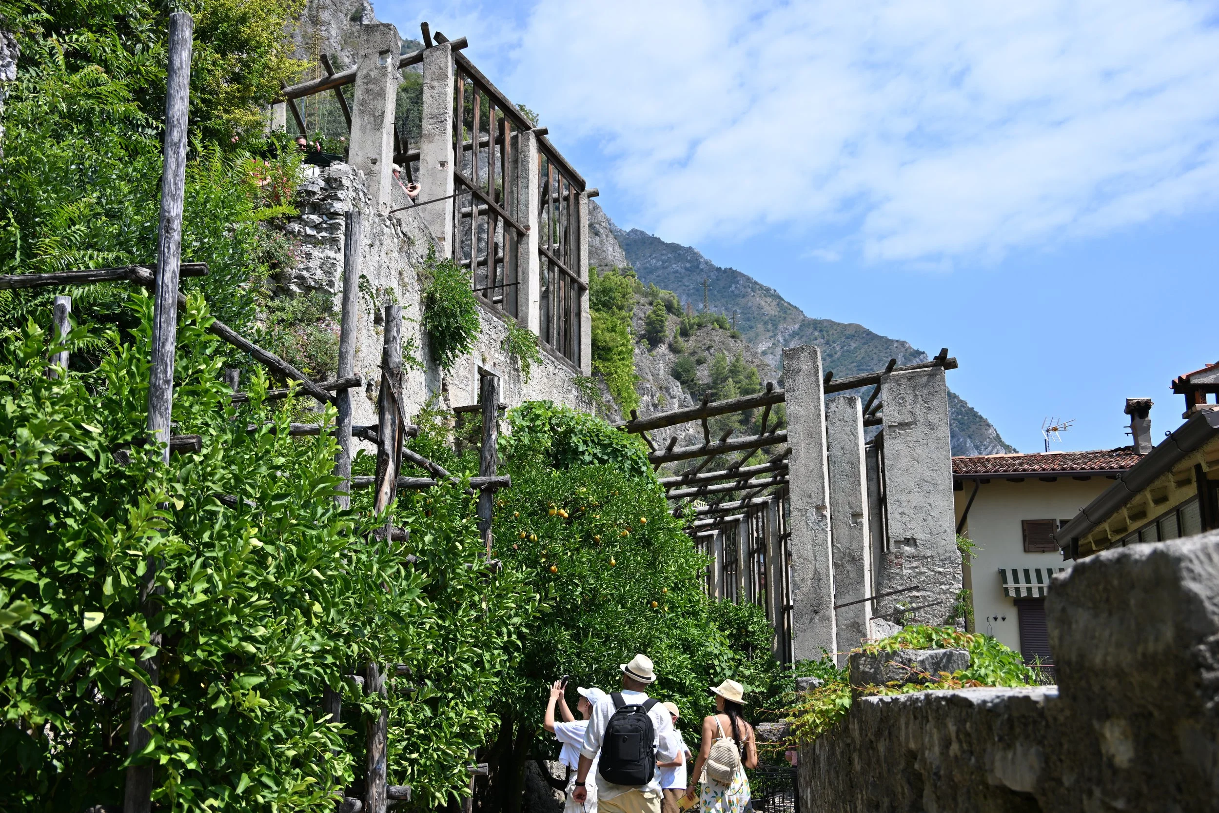
… where the limestone pillars rest on terraces, and support wood beams for covering the trees in winter…

… and the whole complex is built into the cliffs along the lake -
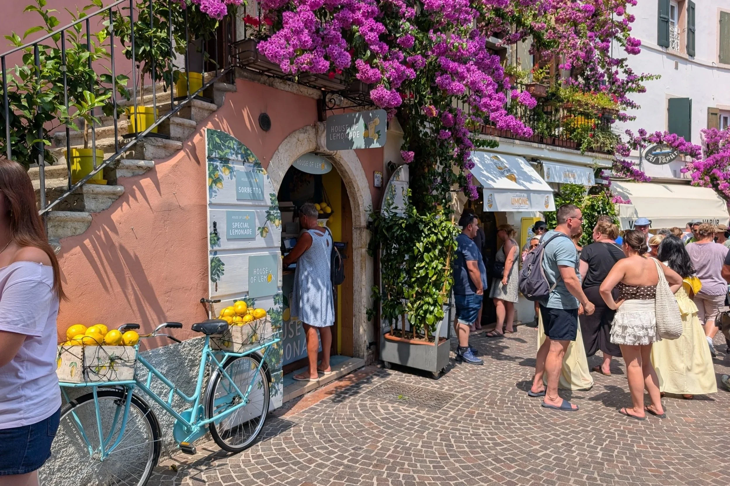
Just about everything in town featured lemons -
One last artsy shot…
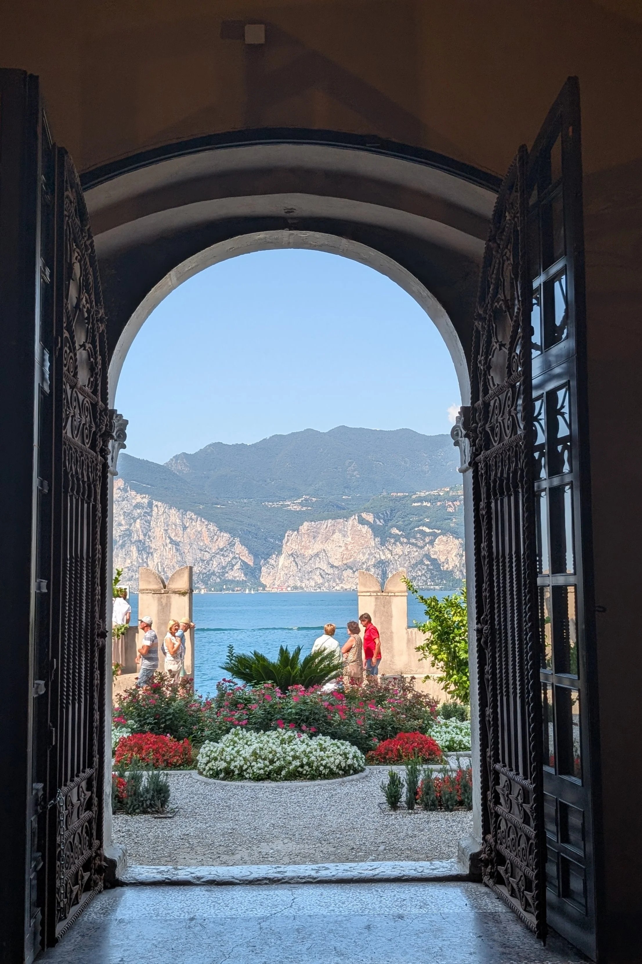
… and I’ll close out this recounting of our grand European adventure. ;-)
Until next time…